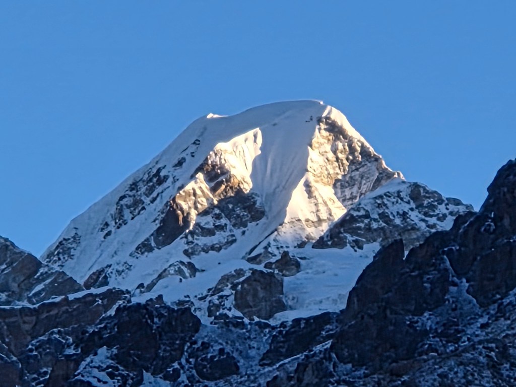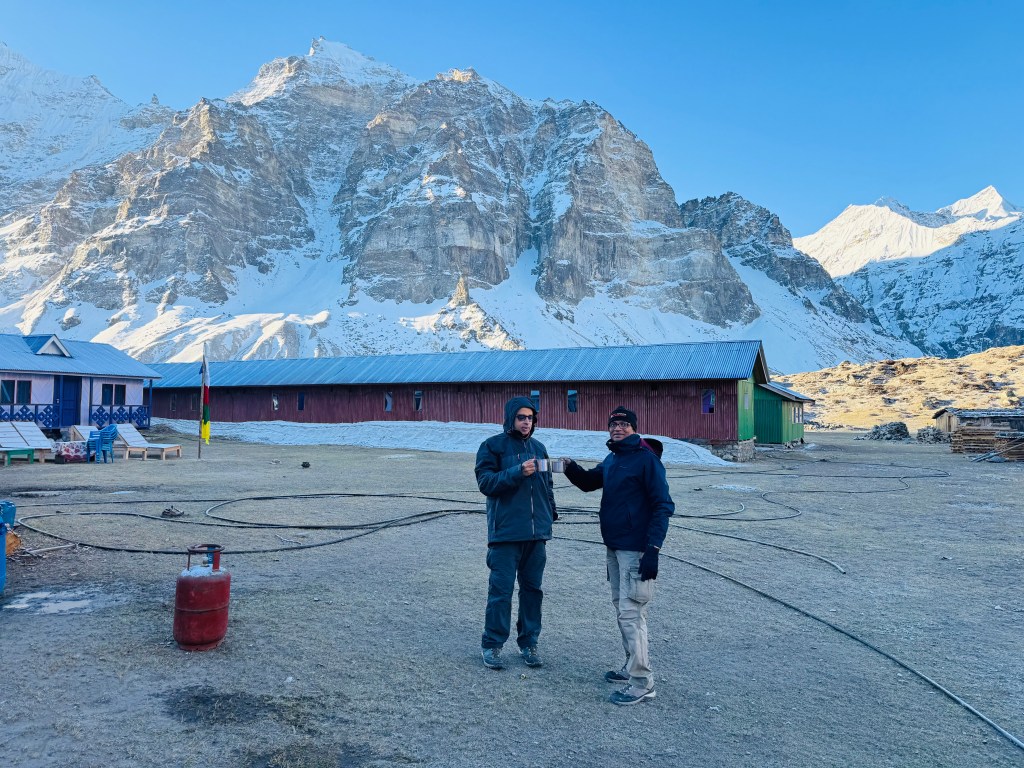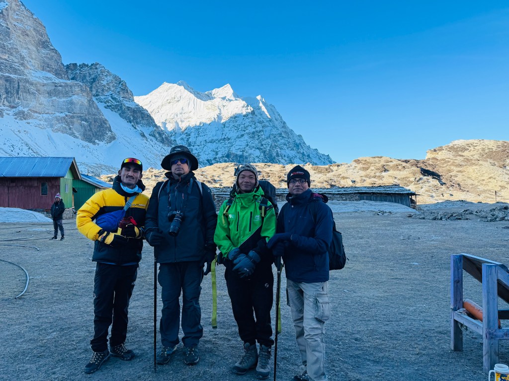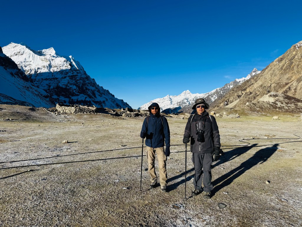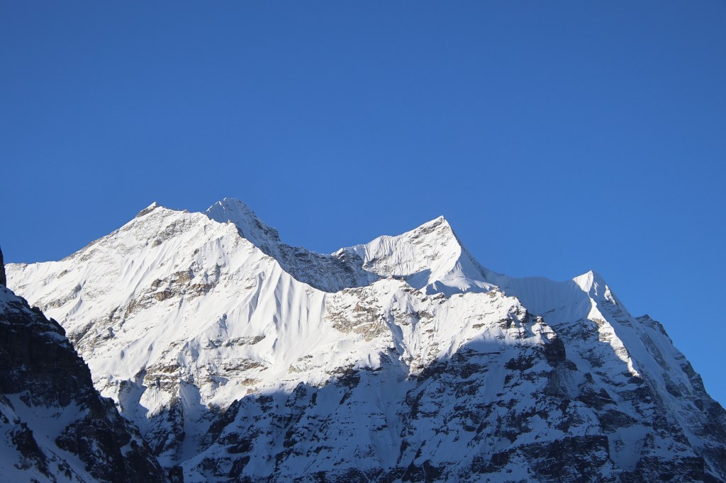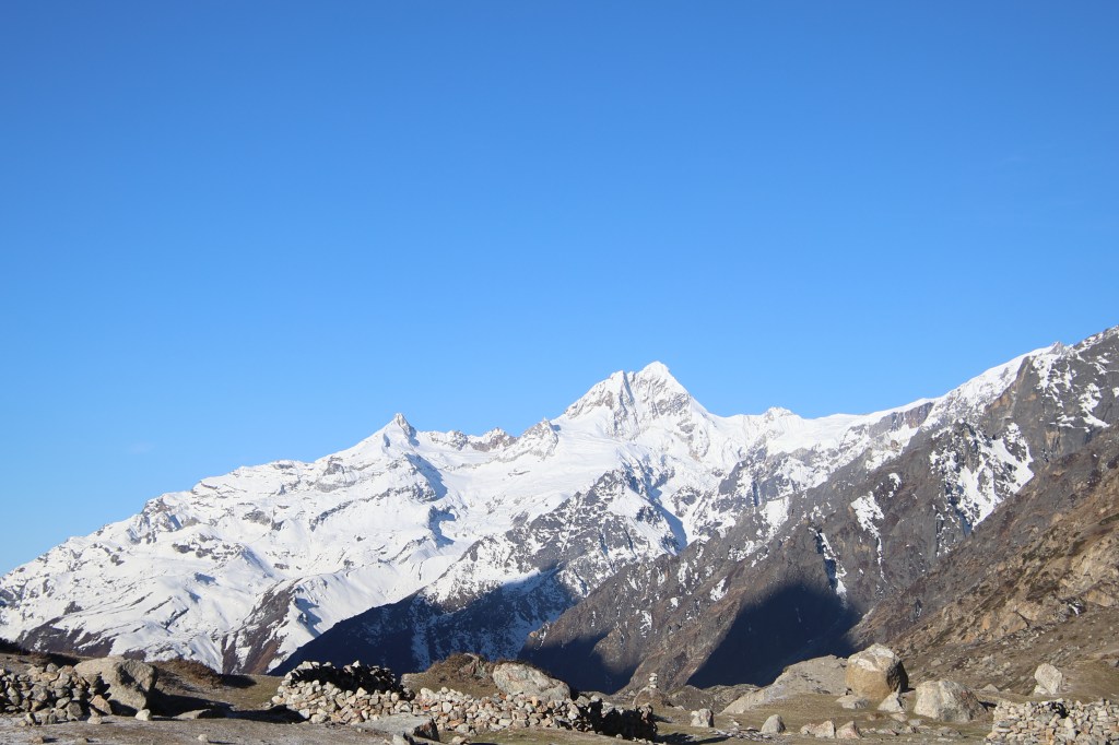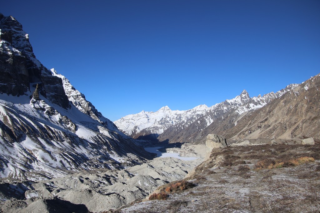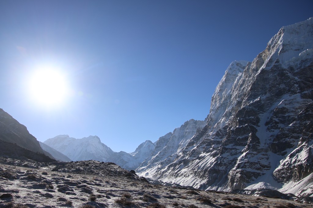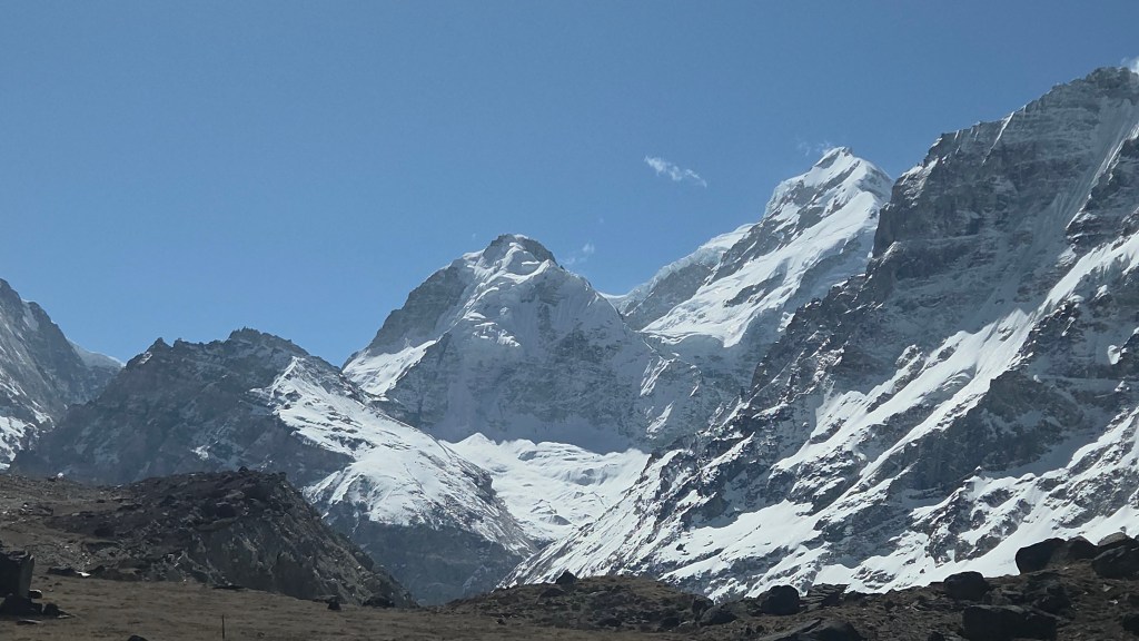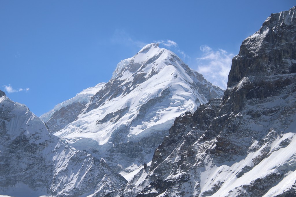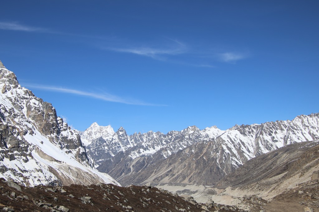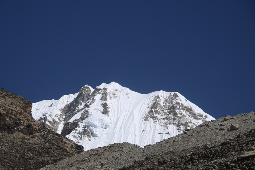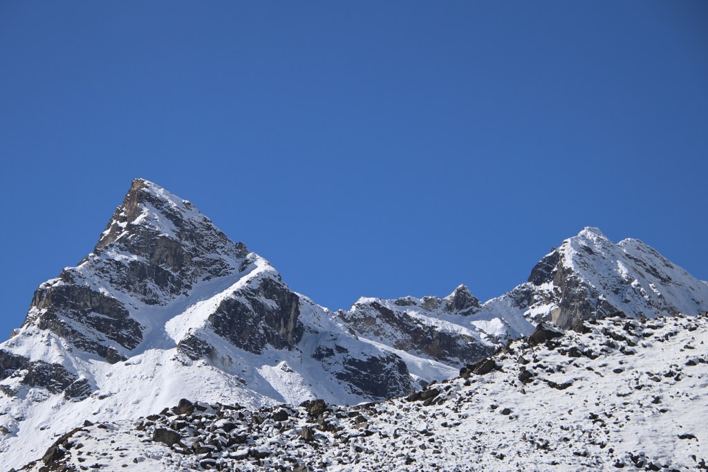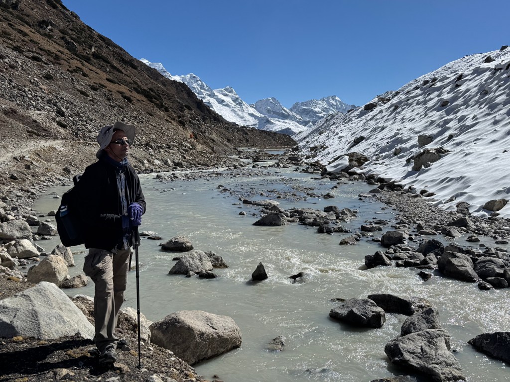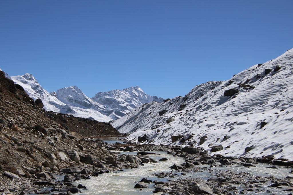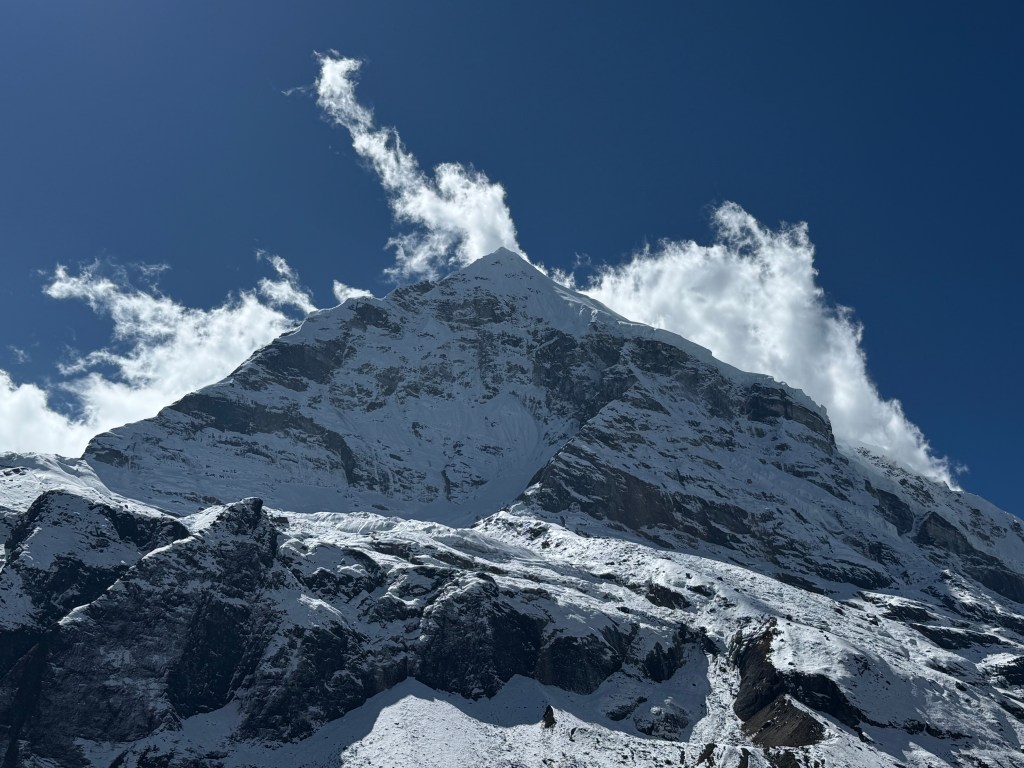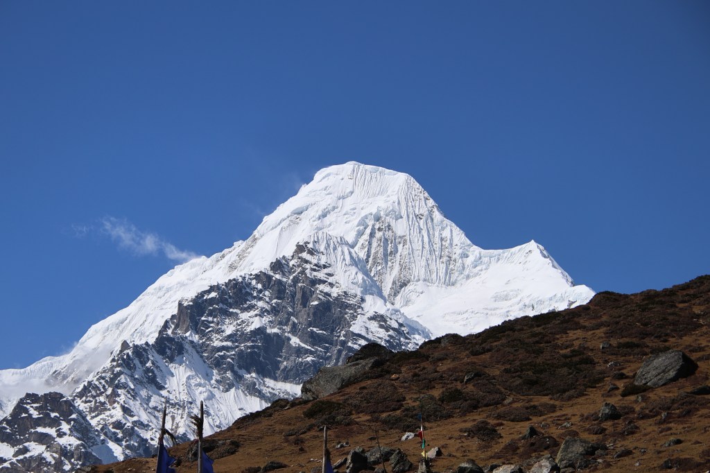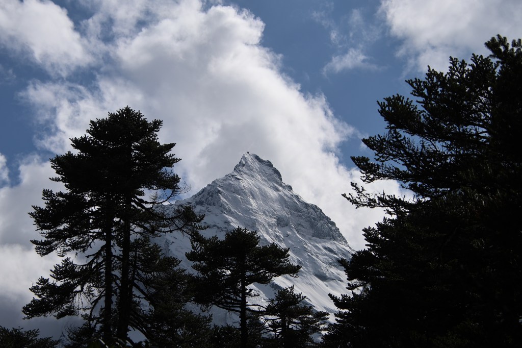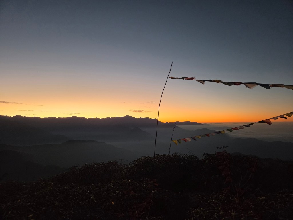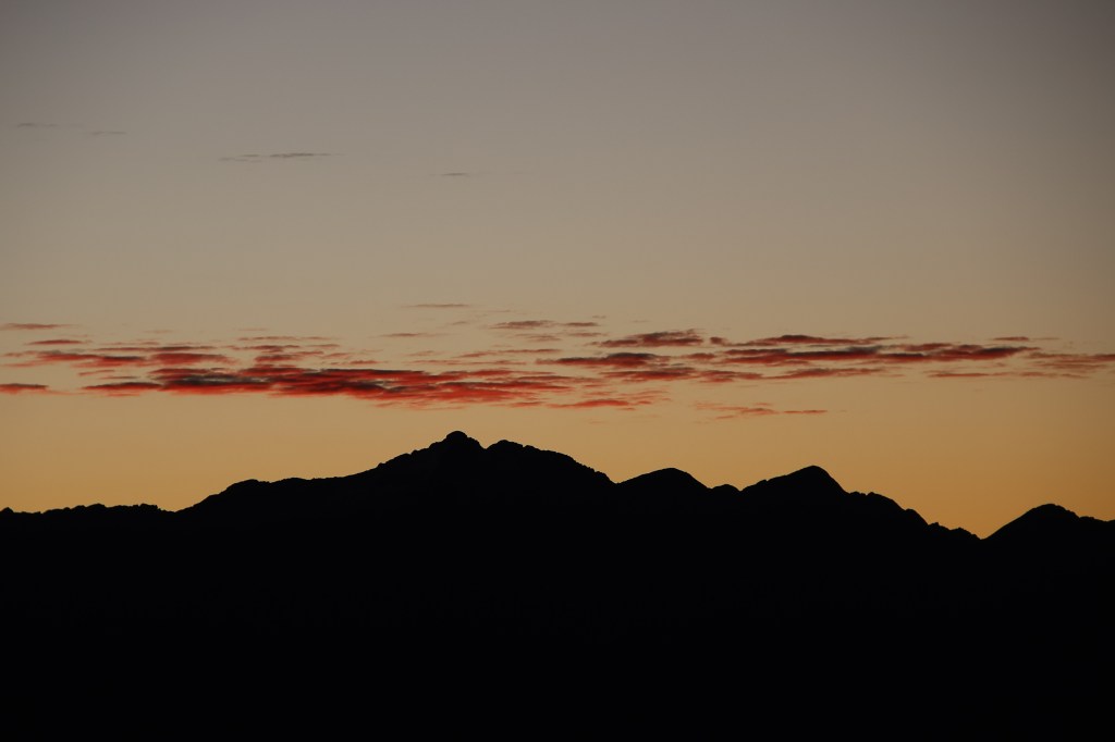
Kanghchenjunga north base camp – the Singhi Namjong

Earlier

Next

I wondered whether I should wrap up the descent in a single episode, given that all excitement of getting to the close quarters of Kahgchenjunga and its colleagues was now over. But that wouldn’t have been fair for multiple reasons. One obviously being the natural display along the descent, which was quite different than while going up. I also wanted to share my experience of staying at the Singhi Namjong hotel at Gyabla, its hospitality and a sense of cosiness in these remote corners of the world. I also had the fortune of learning about how mountaineering expeditions are conducted and its operational challenges. For my case, the surprises weren’t over till the last day of my departure. My plans for the return journey went for a toss. That’s a story of its own.

22nd April, 2026

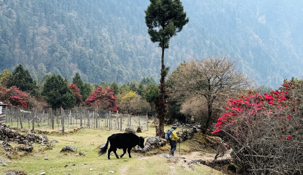
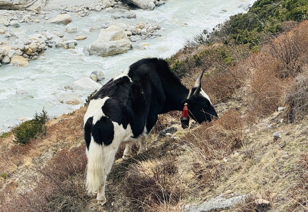
It was time to bid goodbye to Khambachhen. Our plan was to descend to Ghunsa as quickly as possible. From there, it’d take about 1 hr 45 mins to reach Phale. We’d have lunch there. Another 2 hours of descent should take us to Gyabla. The descent from Khambachhen to Ghunsa shouldn’t take more than 3.5 hours. While we were a bit sad to leave Khambachhen, but there was some joy and relief too, at the prospects of reaching under tree line and more importantly, reaching Gyabla. Staying at our favorite hotel Singhi Namjong was exciting. Because of the comfort, added with the feeling of having completed our mission, it was expected to be an enjoyable stay at Gyabla. The reason we were a bit sad to leave Khambachhen was the cordial behavior of the hosts. We had most of our conversations with Didi (Nupu’s wife). On our way up, we asked why they didn’t have bread toasts on their breakfast menu, while it was available at Ghunsa (a lodge owned by Nupu’s brother). She jokingly replied that her sister in law didn’t share the recipe with her! When we asked the reason, she was prompt in her reply, “jealousy!”. Everyone at the dining space burst into laughter, including her father in law. We’d miss that warmth. The mountains blessed us with the sunrise views once again. We started off at 6.30 after breakfast, bidding goodbye to Nupu and Didi. After crossing the lawn, we crossed over the flowing streams over a small wooden bridge. To our left, yaks were grazing. Though vegetation is scarce in Khambachhen, patches of fresh green grass are there, beside the flowing streams. The yaks dipped their mouths in them and devoured the grass. A baby yak followed its mother wherever she went.

Khambachhen

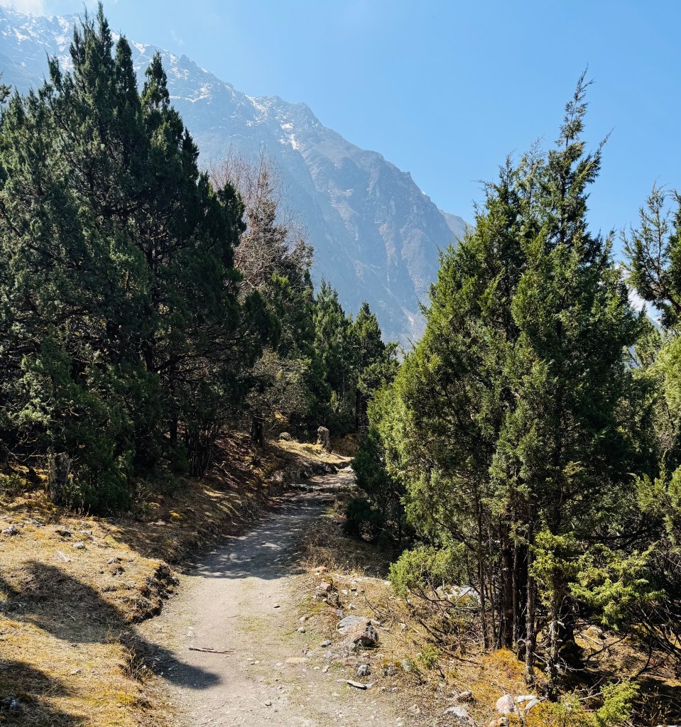
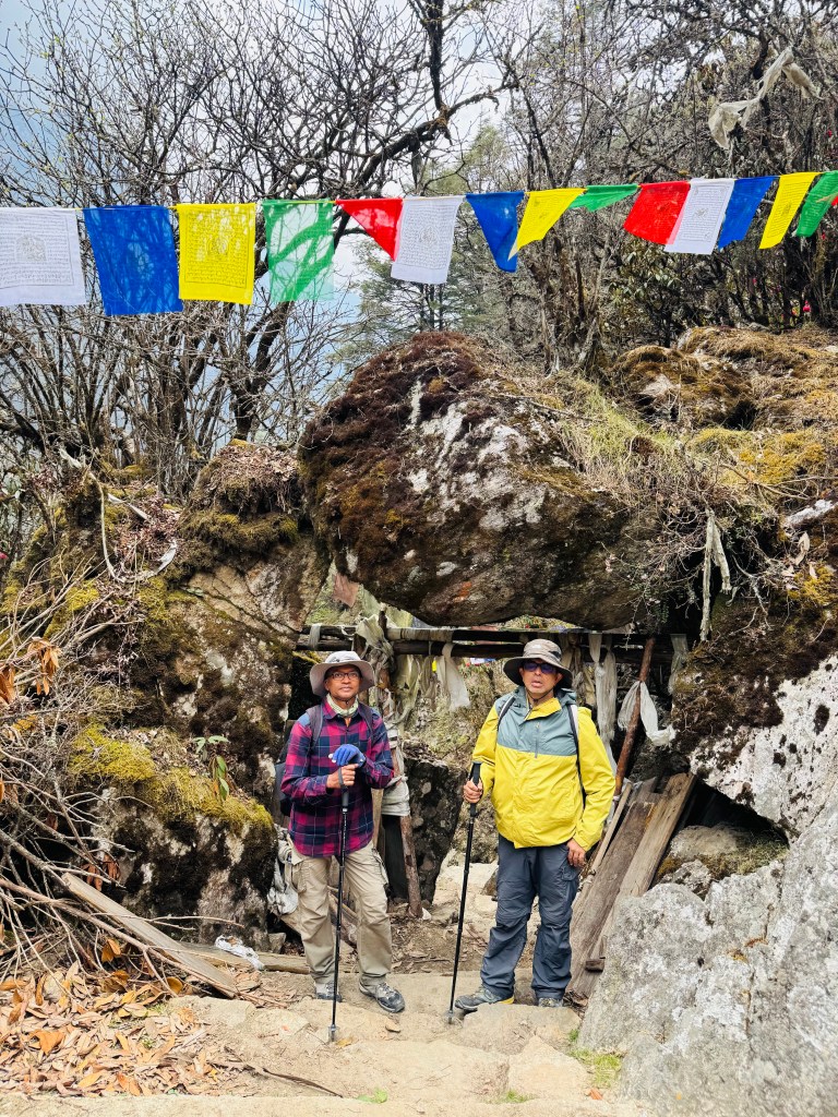
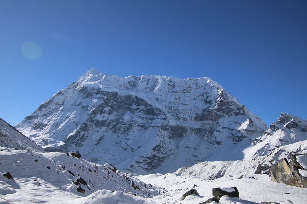
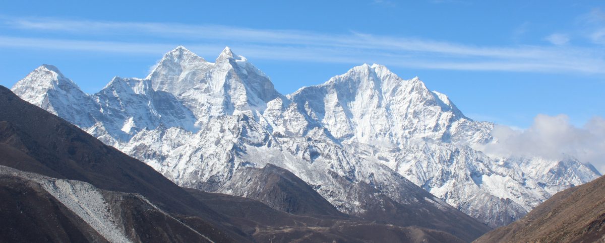
We started moving up a gradual incline to move out of the valley. After reaching the sign board which welcomes people to Khambachhen, I turned around to have a final look at the lodges. Staying more than one night at a place is rare on treks. It only happens at the place where one goes through acclimatization. We spent 3 nights here. Hence it stayed on my mind a bit more than others. I also turned around towards the north. The trail towards Lhonak and further on to Pangpema appeared like a string lying along the left slopes of the Ghunsa river. On turning right, an easy stroll followed by a minor hike led us to the start of the suspension bridge. Mt Jannu dominated the skies on the left. The winding trail to its base camp was also visible. It revived the memories of our journey to its interiors. As we started crossing the Ghunsa, the morning breeze swept our faces. After reaching the other side, we turned right from the sign-board showing directions to two diverging paths. One going left towards the "Phaktanglung base camp" of Mt Jannu and the other we just came along. The trail on the right moved upwards in its winding ways. When I turned back, the lodges of Khambachhen were already out of sight. I had my windcheater on. We slowly climbed the staircases. The slope was gradual and then, as anticipated, the trail reached a broken end and the landslide area started. On our way up, this caused nervousness, but now it seemed manageable. I navigated carefully through the narrow track of pebbles and dust. On the further end, I could see the trail reaching a bend, which had an iron pole. Beyond that, the normal trail would resume. Some careful steps led us to that point. We stood there and cast a look back at the landslide. I stopped for sometime to take off my windcheater as the sun was fully up and was weighing down on our bodies. We took the opportunity to gulp down some sips of water and pop lozenges into our mouths. The staircases resumed. As the slopes were gentle, the length of the stairs were long. Unlike while going up, breathing was easier as we kept losing height, moving into areas with increasing oxygen levels. We could now see the woods in the lower areas. Somewhere down the line, there's Labuk, beyond which, the trail becomes more or less gradual. The poles reappeared with prayer flags. Then came the sign-board for the viewpoint where we saw Mt Jannu for the first time (on our way up) - the Phaktanglung view point. We bade goodbye to the mountain. The vast expanse of boulders was gradually coming to an end as trees started reappearing. Their heights were smaller but the canopy started to form above our heads. After sometime, we reached the place of worship, Hajare. We passed by the birch trees. Their skins hung around, which exposed the interiors of their barks. The Ghunsa kept flowing in leaps and bounds beside the trail. The day was still bright and the vegetation was shining. After Hazare, the density of the forests increased. It was refreshing to move under the tree line. The landscape in the Himalayas are distinct in lower and upper regions. They almost seem like two different climes. The dense greenery, flowing torrents and flowers in the lower regions transform into monochrome ruggedness of boulders, snow and glacial moraines in the upper regions. While the close ups of awe inspiring mountains, their ice falls and the glaciers overwhelm us, but the eyes get their relaxation once greenery appears. That's what was happening with us on our way down. After sometime, we came out in the opening of Labuk. Labuk lay almost at the border between the lower and upper landscapes of the trail. One could roughly say, it marked the transition between sub-alpine and alpine zones of the Himalayas in this region. The trail now moved gradually along the banks of the Ghunsa. One or two rhododendron trees started appearing.

En-route Ghunsa
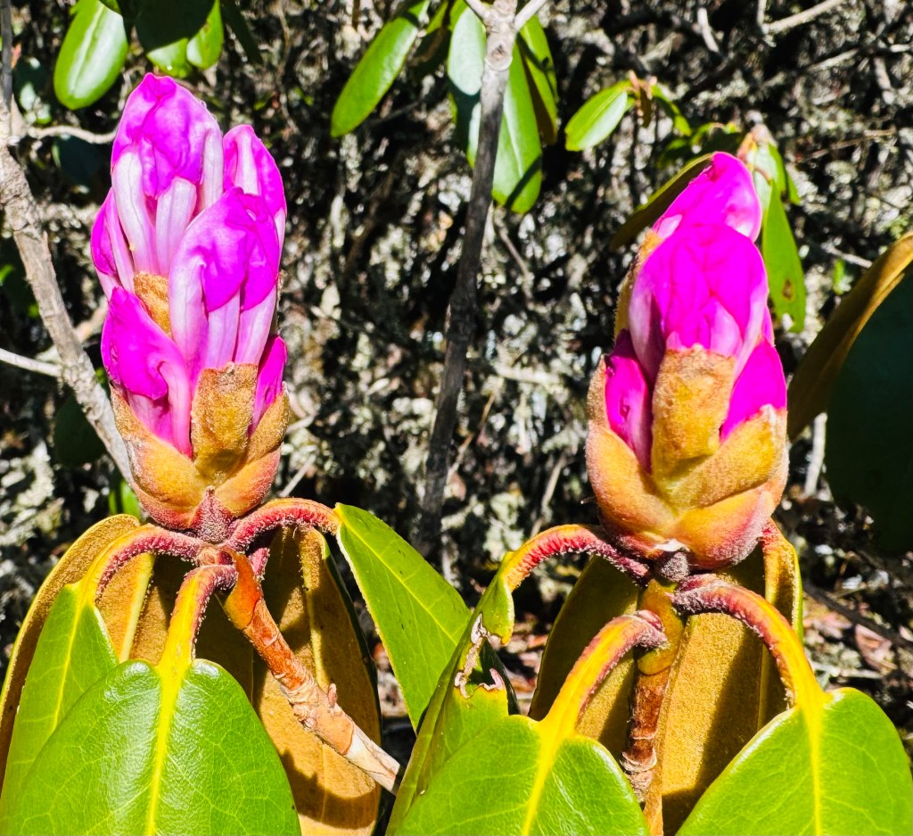
En-route Ghunsa, picture courtesy, Dhananjoy Dey
En-route Ghunsa

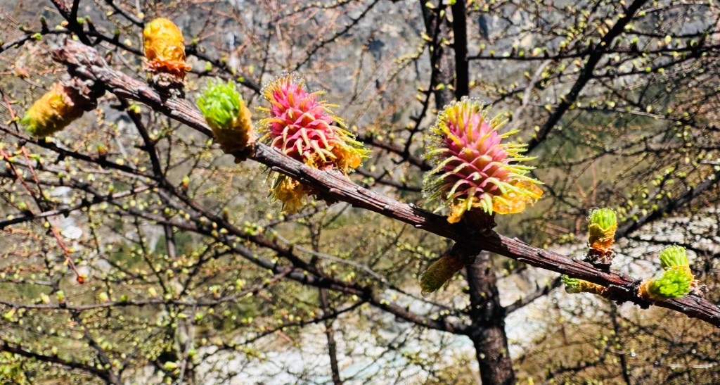
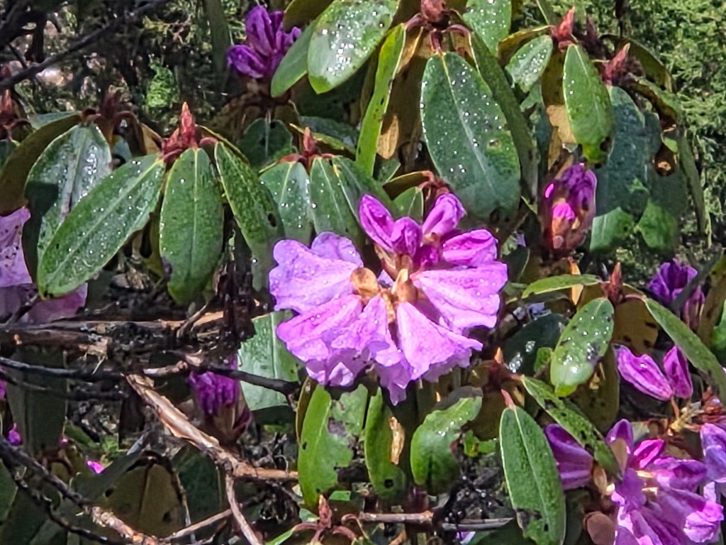
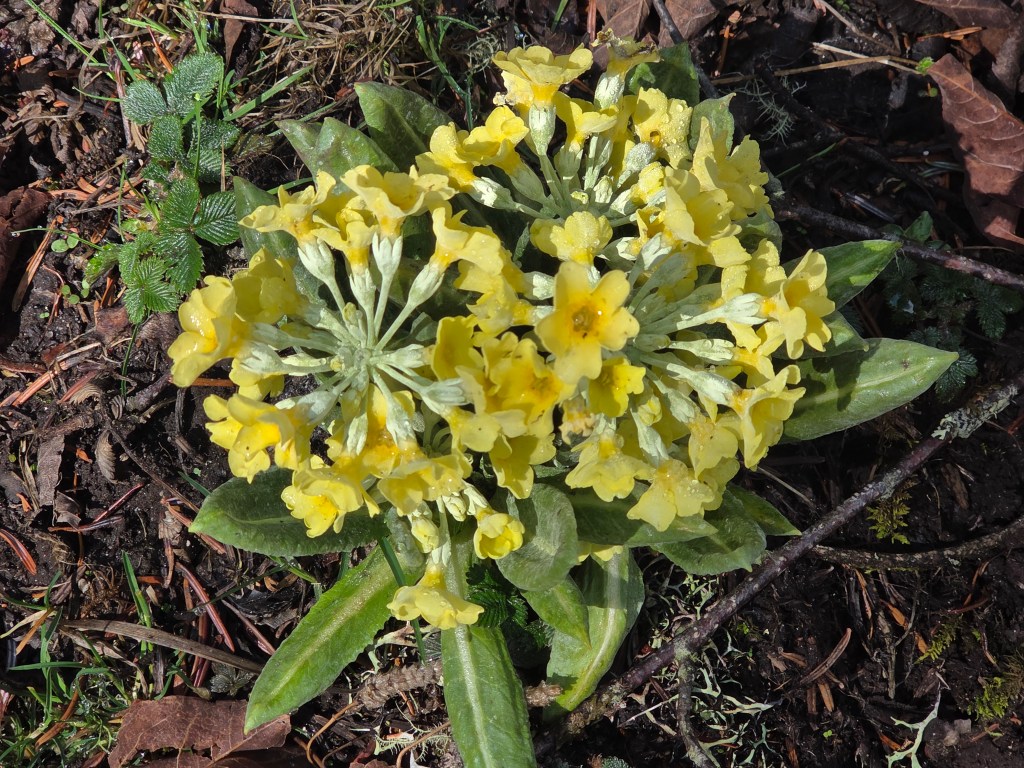
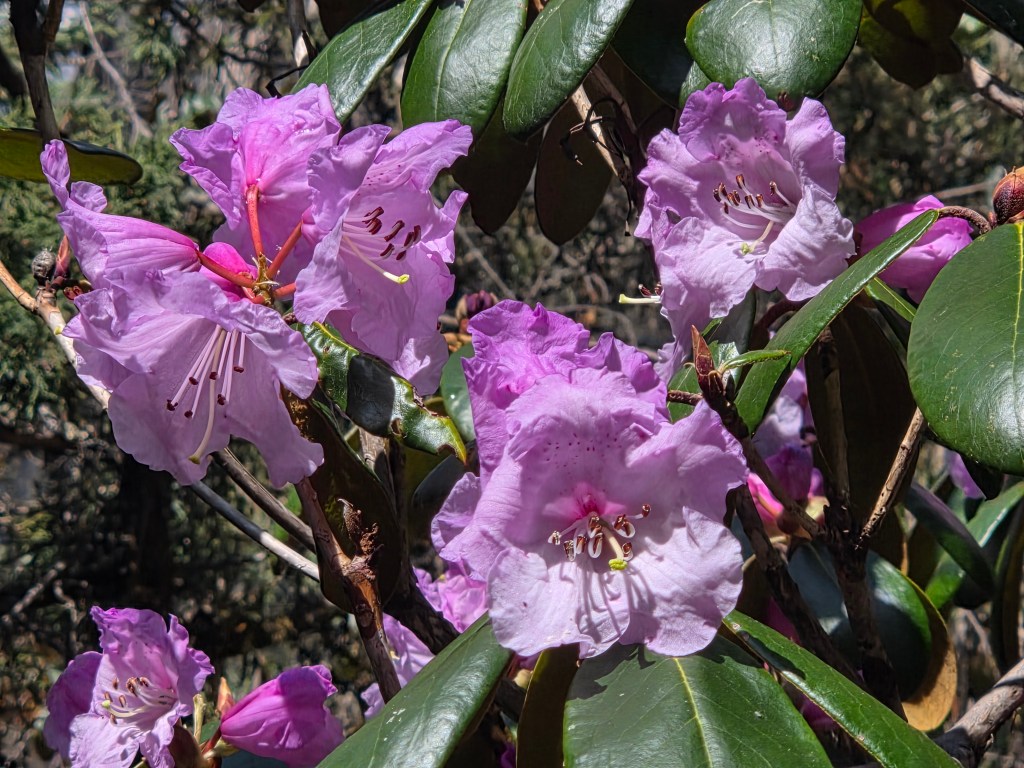
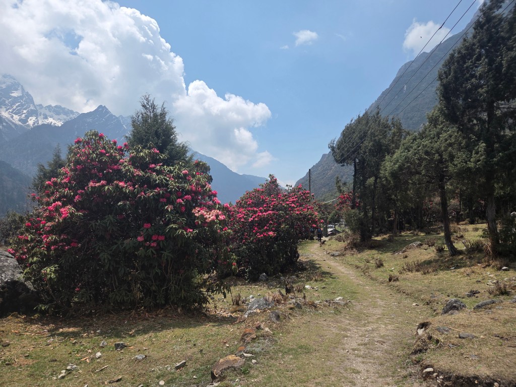
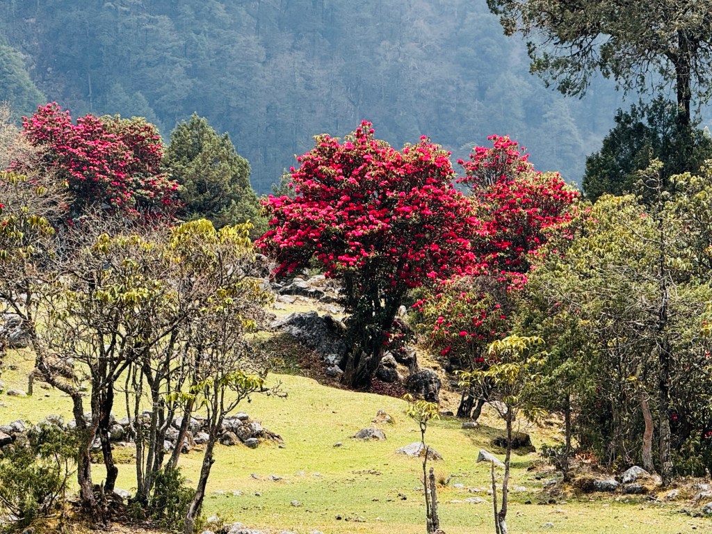
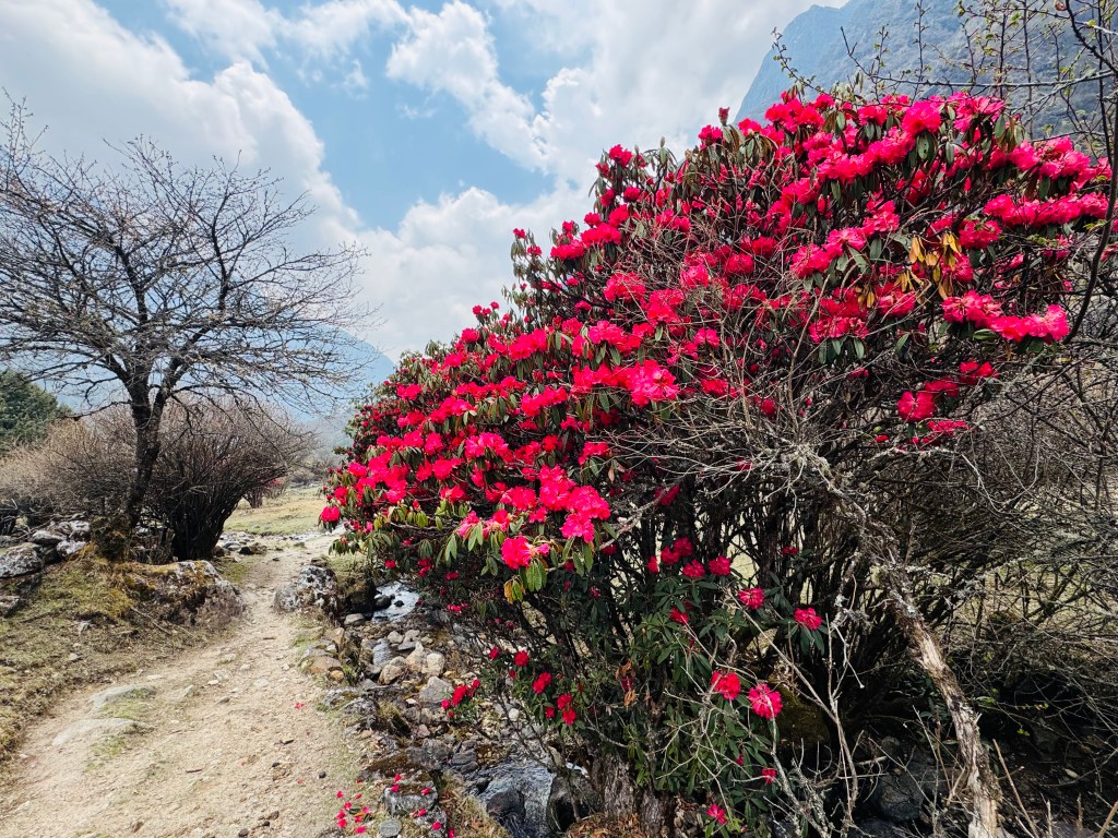
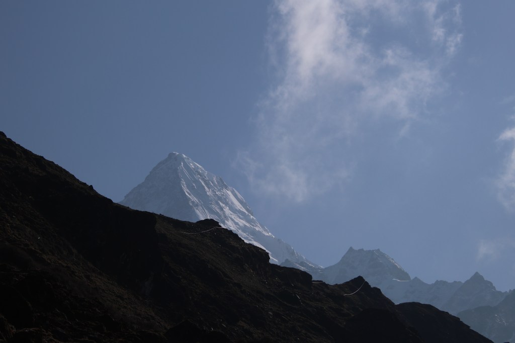
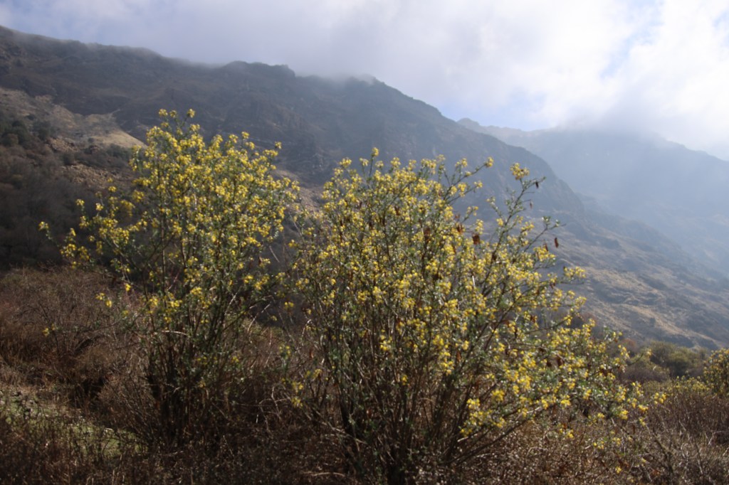
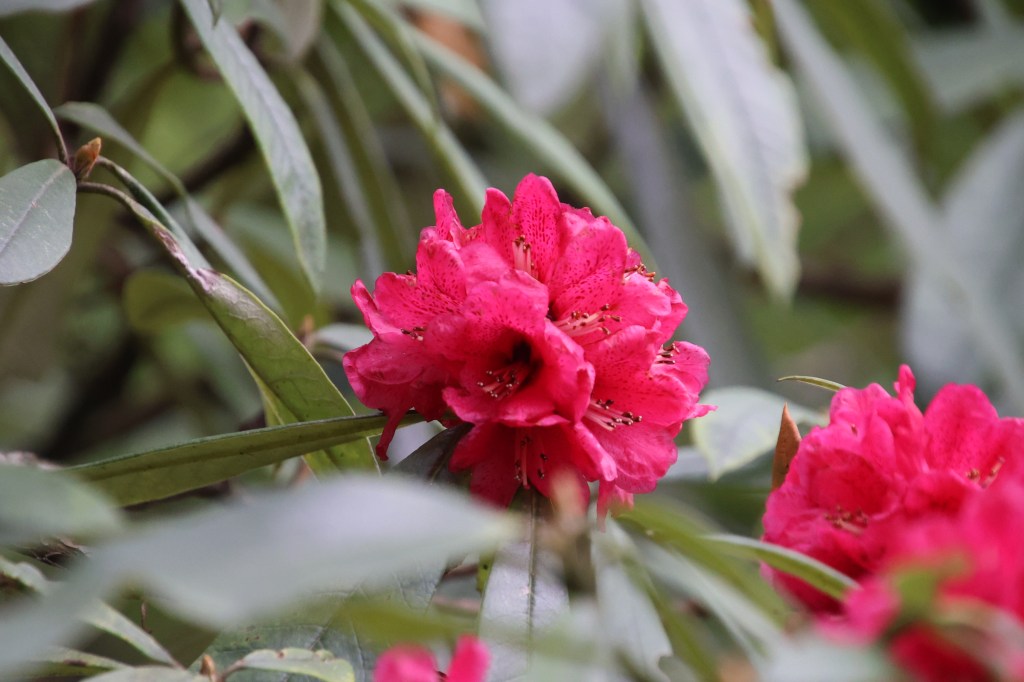
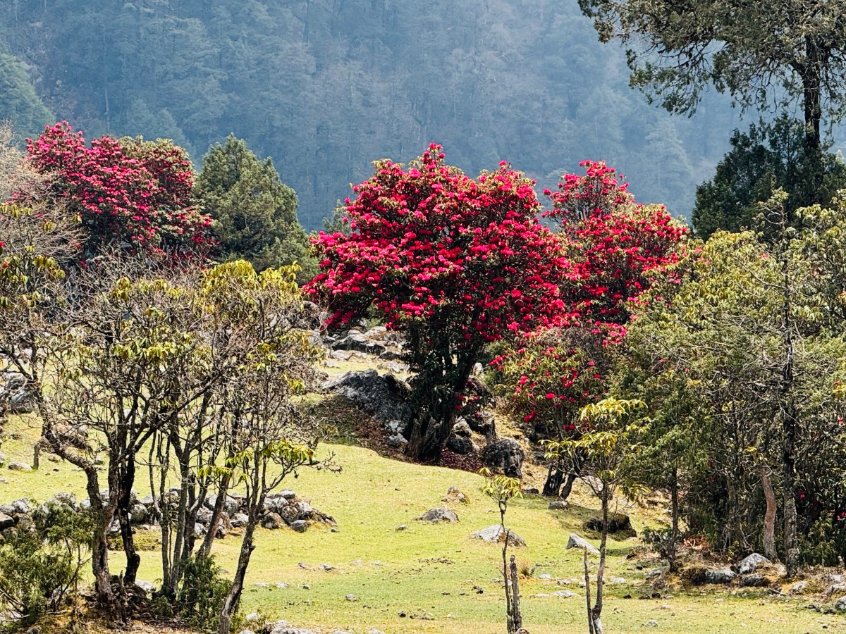
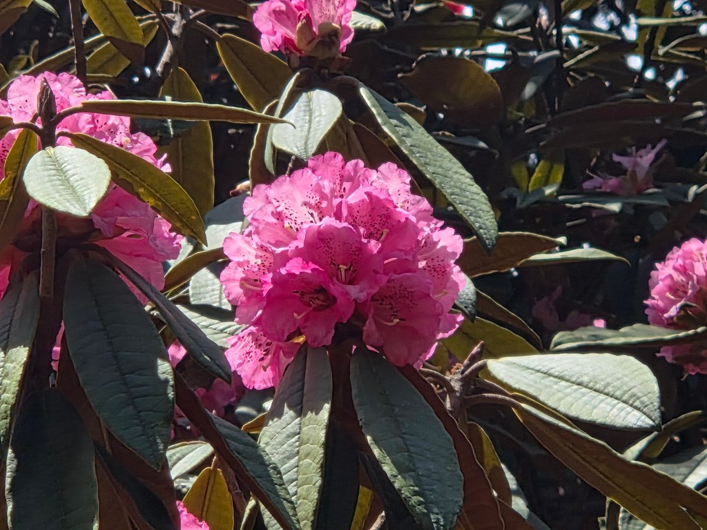
We missed these flowers in upper valleys. It was pleasant to see them reappear. Their densities kept increasing. The buds which we saw on our way up, we're now in full bloom. The color shades in the flowers in this area ranged from light pink, pink with colored spots to dark pink. The latter variety were much less when compared to the other two. Suddenly, I found myself walking through an area where small yellow flowers dotted the floors. These were small shrubs with dense light green foliage with yellow flowers. With these bright display of flowers, the entire place basked with brightness. We crossed the lonely huts of Chermalung and Tartang to reach the dry bed of the Thango river.
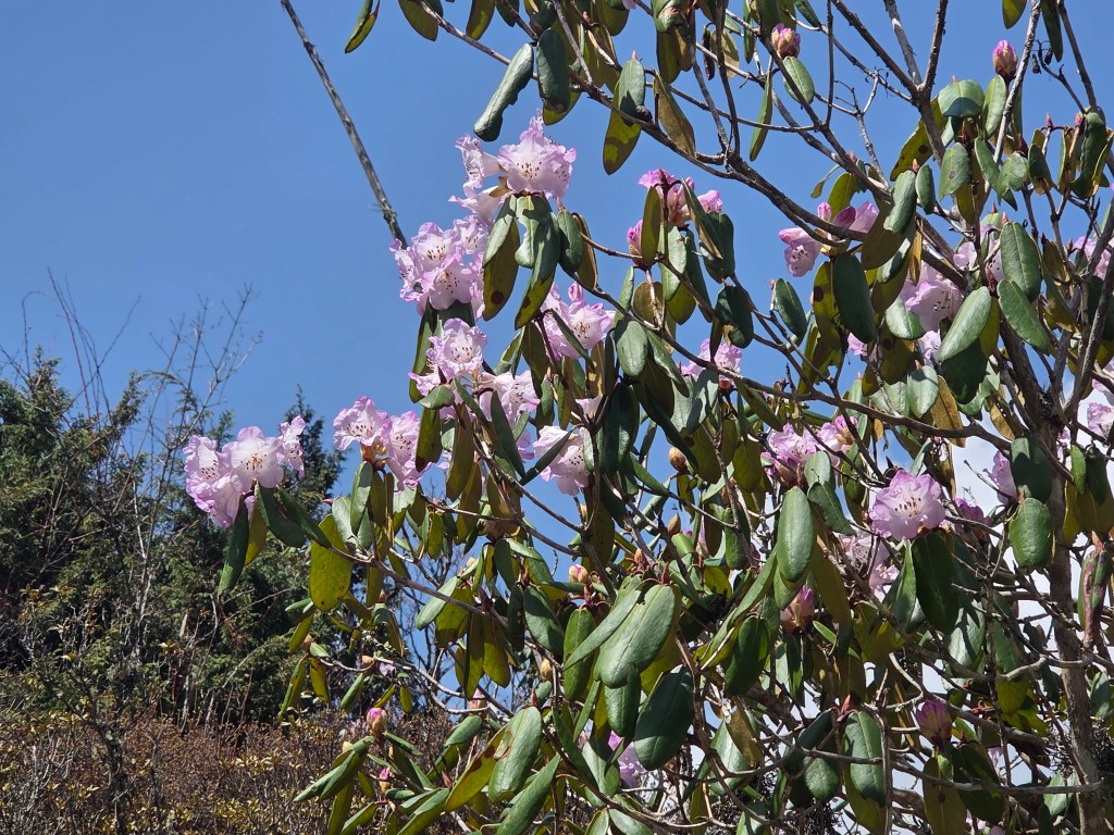
En-route Ghunsa
Ghunsa
Ghunsa, picture courtesy, Dhananjoy Dey

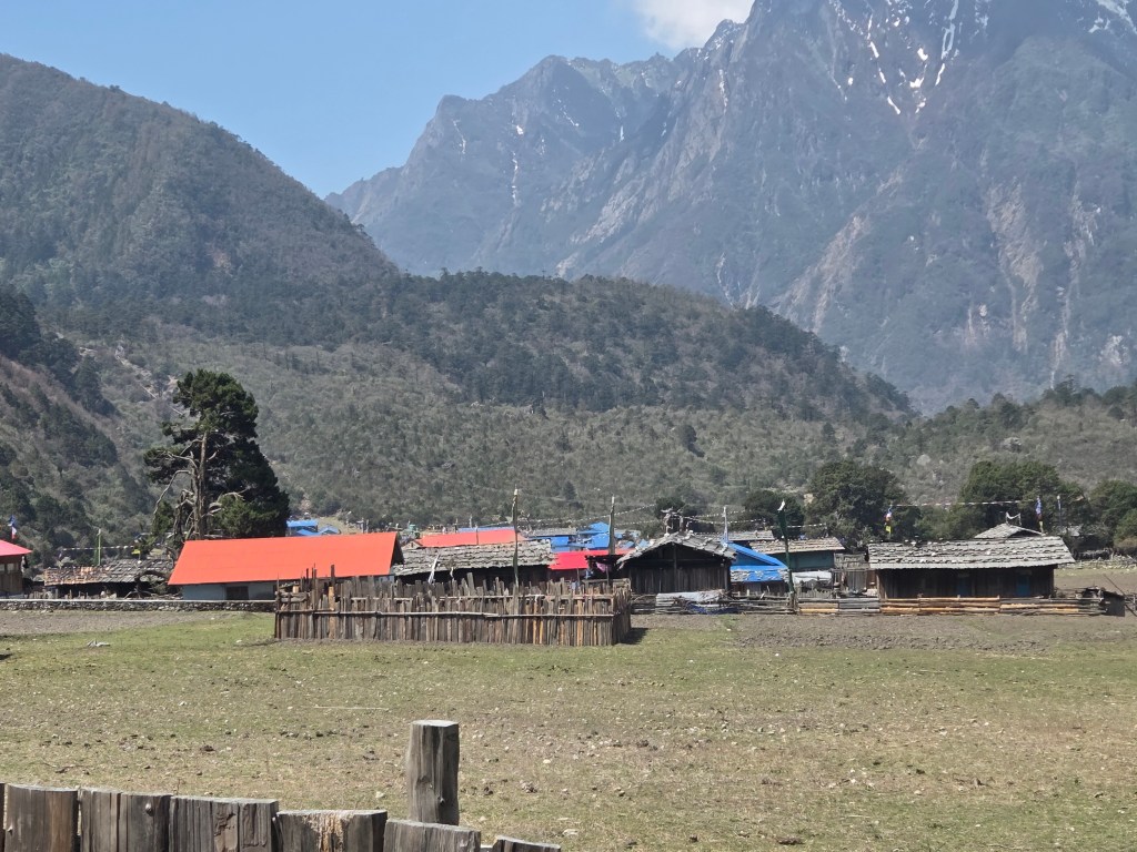
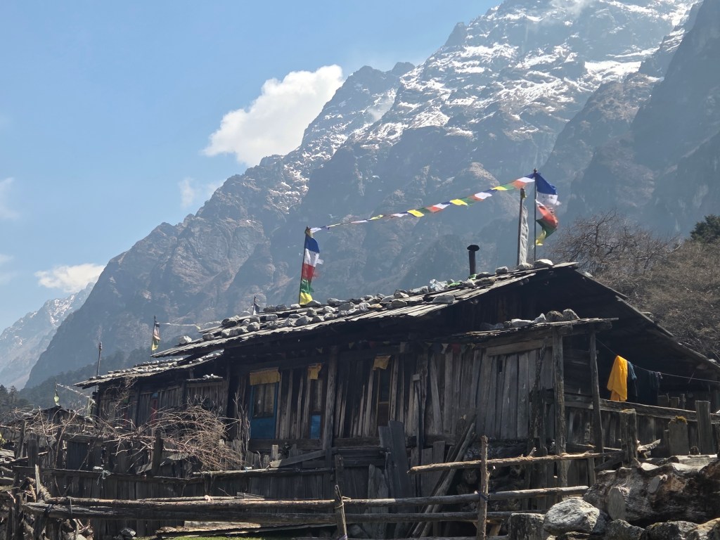
After regaining the trail on the other side of the riverbed, we walked for sometime and then could see the lodges of Ghunsa from a distance. The village wore a bright look. Prayer flags decorated every top. We saw these on our way up too, but their numbers have increased and so did their brightness. It turned out that these decorations have been done on the occassion of some Tibetan festival. Dilal had to complete some formalities at the conservation area office. Just as they record entries on the way up, they tally again on the way down to ensure nobody is missing. We've seen such checks in Annapurna and Manaslu circuit trails. We took some time for photographs in the backdrop of the village houses and then followed the trail. Dilal would join us en-route after completing the formalities. Limbu dropped down to slippers and half sleeves. After crossing the river, we continued our walk towards Phale. Trees became taller and more rhododendrons started appearing. Along with the lighter shades, the scarlet and deep red varieties increased.
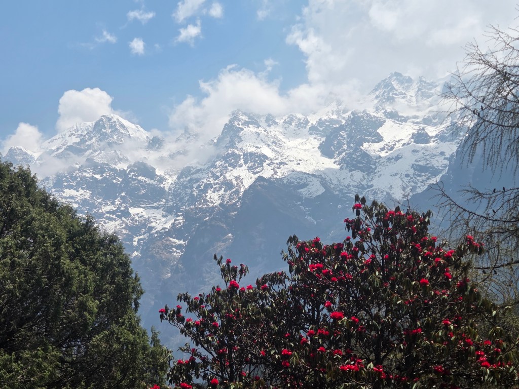
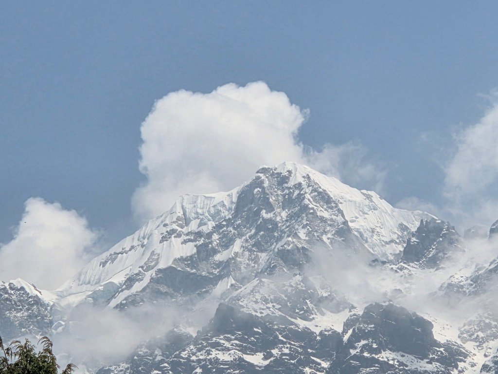
Ghunsa

The lodges of Ghunsa faded away as we moved along. We came to the junction where another sign-board declared an arrow towards Nango La. That's the route towards Olangchung Gola. Carole was to take that route on her way towards that valley and potentially onwards to the Makalu region. We came across a resting place. Cool breeze caressed our faces as we gulped down sips of water. After some rest, we resumed our walk towards Phale. The trail was broken at some places where they bridged the gaps with logs. One could gauge the fury of nature by these scars left by past monsoons. Small ups and downs, a few staircases and a gradual trail led us to the open valley of Phale. We went through the familiar network of streams and rhododendron bushes to reach the tea houses.
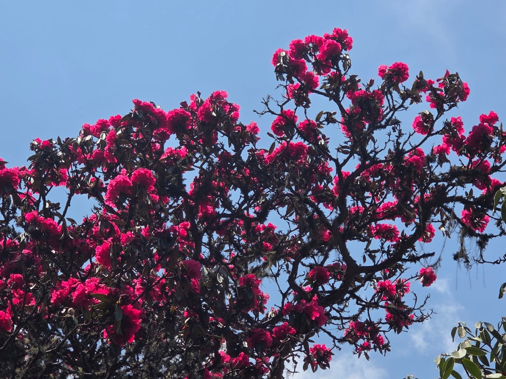
Phale

We spread our legs and sat in the dining space of one of these, while our dal bhat lunches got prepared. We devoured our lunch as hunger was at its peak and the preparation was good. After lunch, we resumed our walk through the meadows of Phale. By now, the sky got cloudy. That reduced the heat but the darkness of the clouds raised some concerns of rain. So far, we've been able to avoid it. Gyabla was still about 2 hours away. The wide meadows of Phale spread out on both sides. A light breeze swept through the meadows. The valley narrowed towards the end where the trail entered the forests and we reached the gate.
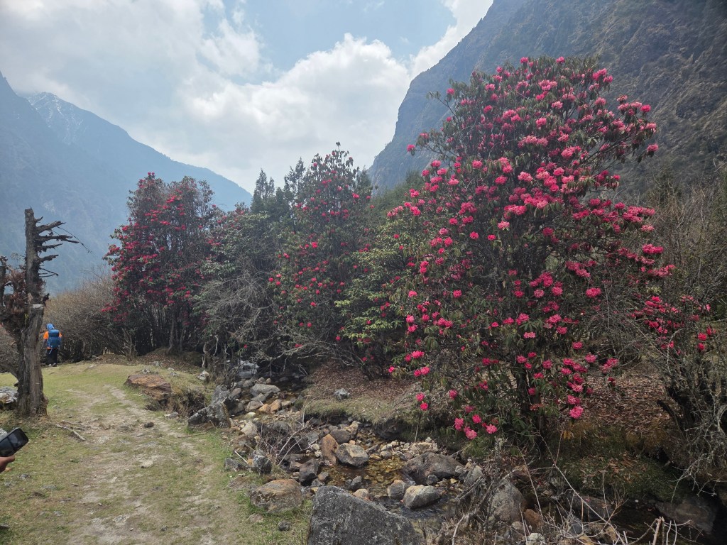
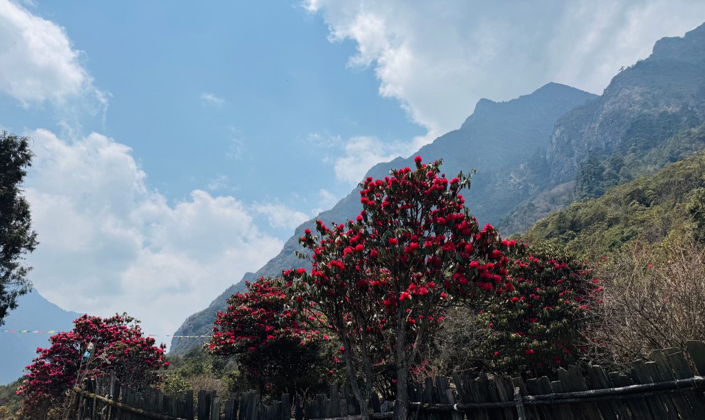
Phale
Phale, picture courtesy, Dhananjoy Dey

Beyond the gate, the trail descended sharply through rocky and winding staircases. It put some stress on our knees but we lost altitude very fast. After multiple switchbacks we came down to a trail running on elevated banks of the Ghunsa. We were walking along an open ridge. The Ghunsa flowed down to the lower valleys in leaps and bounds. By this time the clouds dominated the skies. A felt a few drops on my body. On asking, Dilal assured that it wasn't likely to rain. We continued our walk and reached a tea house on the banks of the Ghunsa.
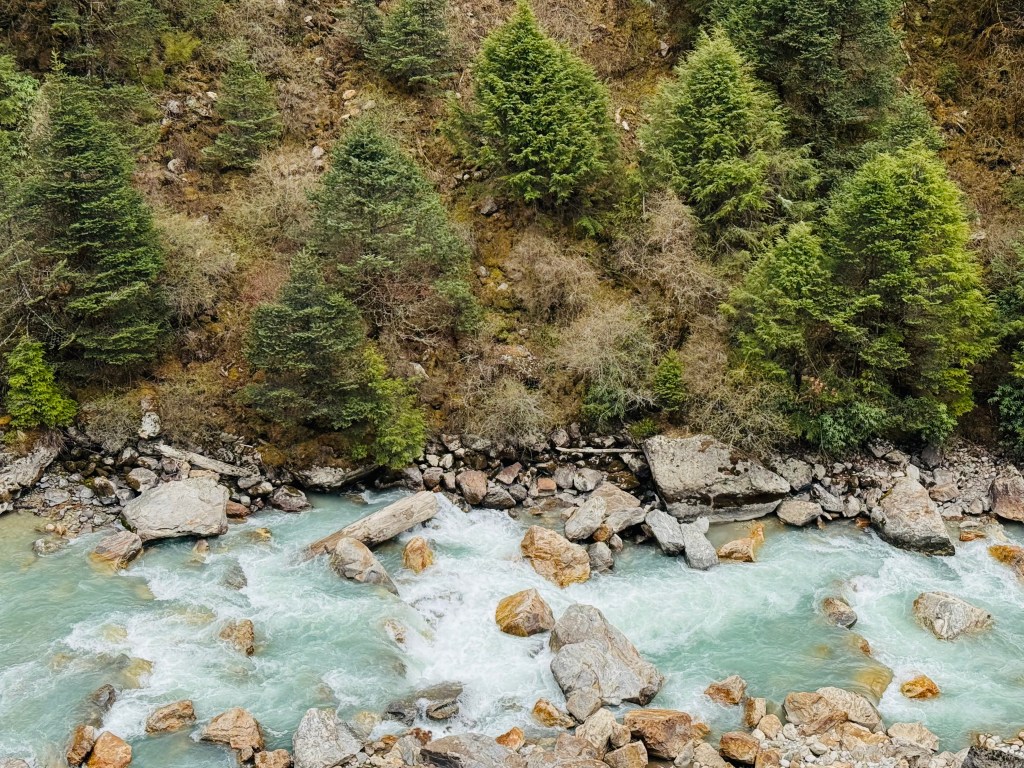
Phale, picture courtesy, Dhananjoy Dey

I remembered this tea house because of its location amidst rhododendron trees with full bloom. We stopped for a few minutes to rest our backs. But the increasing darkness of the clouds prompted us to resume quickly. We now walked right beside the Ghunsa. They've tried to tame the landslides by caging the rocks using barbed iron wires. It is a technique used in the mountains to avoid having to use concrete. Concrete prevents growing of vegetation but increases weight which often gives away during inevitable landslides. Caging rocks in this way tries to keep them together but still allows vegetation to grow over time which solidifies the ground. The number of drops increased and finally, even Dilal advised to put on our rain covers. The drizzle increased and darkness set on. Very soon it converted to incessant rains. Despite rain covers, I got drenched. Seeing through the spectacles proved challenging. We made our way through the forests and reached the base of the final hike towards Gyabla. Streams of rainwater flowed down the rocky staircases. The rains lashed at us while we made our way up the staircases. After reaching the top, level ground awaited us. We walked briskly through the bushes till we could see the roofs of Gyabla tea houses. Above all, stood the double storeyed premises of the Singhi Namjong hotel. We reached there at 16.30.

The Singhi Namjong

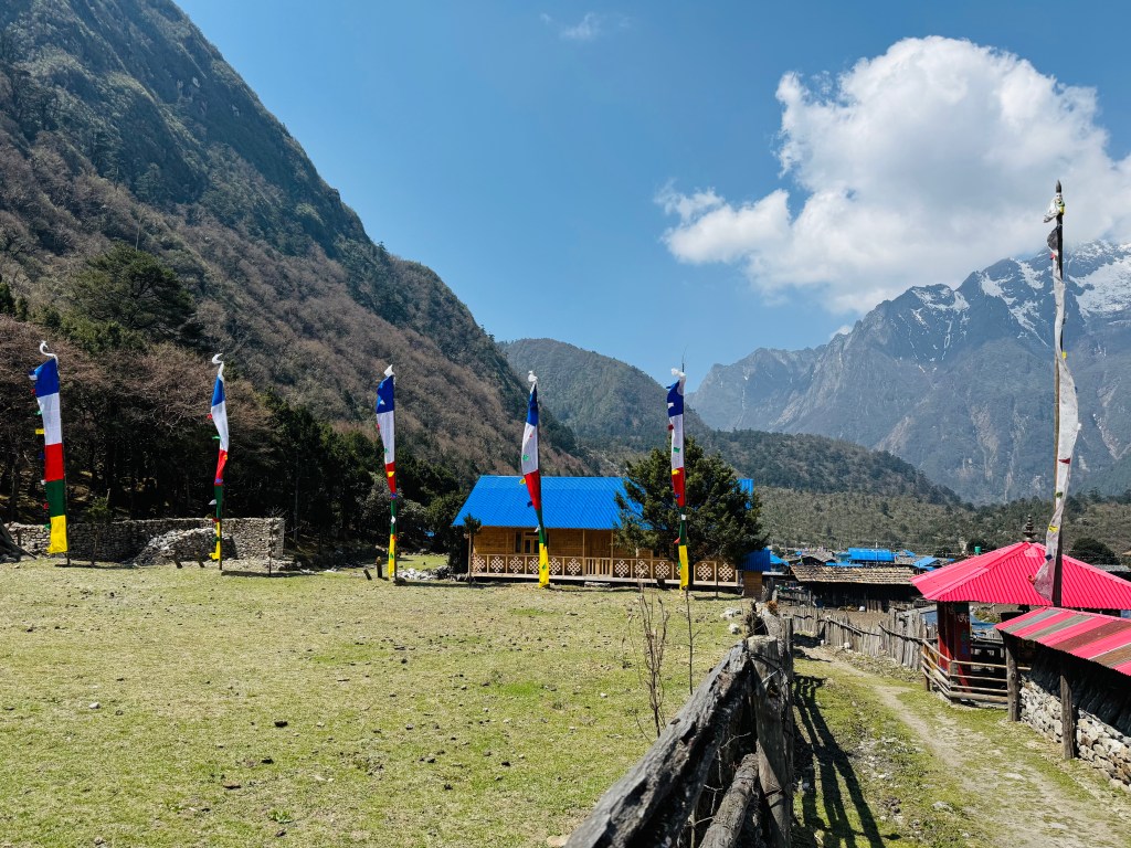
We entered the premises of the Singhi Namjong hotel (we can't call it just a tea house) through its ground floor entrance. After hanging up our rain soaked clothes, we entered the room alloted to us. It was on the 1st floor, a three bedded room with an almirah at one of its corners. Reaching the premises of this hotel gave us a feeling of home coming. Gyabla didn't have WiFi, but had everything else. A large dining space that could swallow three other dining spaces of usual dimensions. A kitchen of a similar scale. Its rooms can accommodate at least 6 people with decent living space for each, but they're alloted just for two. Add to it, a huge lawn adjoined the premises with enough wires to dry up your clothes. Beyond the lawn, went up the slopes towards the monastery of upper Gyabla. On clear days, one could either take a small hike to the upper village or just relax in the lawn looking at the distant hills beyond the valley. Our bodies were tired. We were eager to reach the dining space to start our evening session of beer. But why not have a hot shower before it. The presence of good and large bathrooms prompted that decision. Dhananjoy has had showers at different places (not hot though) before, but I couldn't muster the courage. But hot shower was a different thing altogether. They gave a bucket full of hot water to each of us and we enjoyed our baths to the fullest. Sitting on our beds after the showers made all the accumulated stress go away. Though our muscles still retained some of the fatigue, but it was fulfulling. By this time, the rains ceased and the sky became clearer. The fading sunlight painted the surroundings with a shade of yellow that tells that the sun was about to call it a day.

Hotel Singhi Namjong, Gyabla

We occupied a corner at the dining space. Beer got served. A lady served a bowl of popcorns. Looking at her, we were amazed, it was Sonam! We looked for her immediately after reaching the hotel, but she was alseep. But now she was back in the kitchen, performing her regular duties to serve the boarders. A wrap of scarf around her head didn't allow us to recognize her initially, but the smile was unmistakable. Sonam came from a Sherpa family. Her father was a climbing sirdar (the leading sherpa of a mountaineering expedition) for many years and has been to all the major mountains of the world, being part of summit parties to many of them. Years of experience prompted him to start a business of conducting professional expeditions to the Nepal Himalayas. Being a sherpa, I asked him the same question I asked Nupu, which was, whether he hailed from the Solu Khumbu region. His reply was a No. Moreover, he corrected my understanding that while most of the sherpas belong to that region, but not all. At least not all who are mountaineers. Over successive years, many developments have reached that region with schools and hospitals (a large part of it is due to the untiring efforts of Sir Edmond Hillary and his Himalayan trust). With development coming in, many sherpas have moved out of the region to other parts of Nepal or even the world. Many of them don't consider taking up the job of a porter or guide in an expedition (which comes with its disproportionate share of risks) like their previous generations. His organization is still actively involved in conducting expeditions. The majority of them go to Mt Everest, but others fare as well. Time kept moving along, and then it was time for our dinner. We were served with delicious yak curries along with chapatis. This time we didn't have to instruct for "churum churum". We were back sleeping at the height of 2730 m.

Earlier

Next

Kangchenjunga north base camp – the zenith

Earlier

Next

Drohmo Ri, 21st April, 2026

Based on experiences of Dhananjoy Dey and Dilal

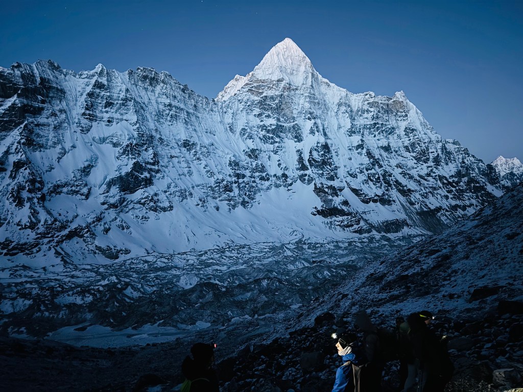
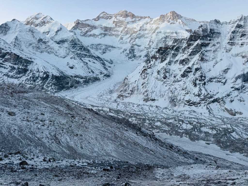
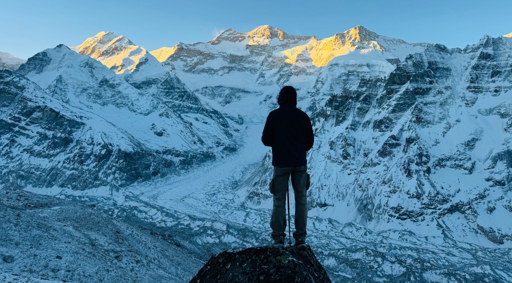
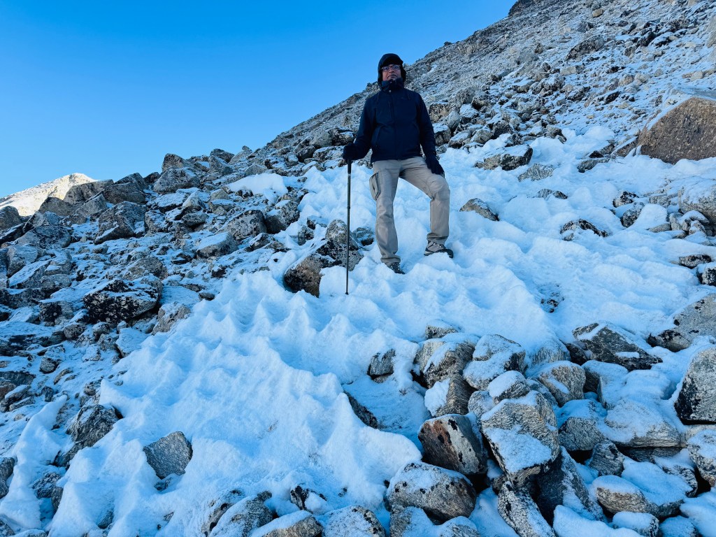
The alarm went off which set the tent abuzz with activities. Considering the settings, sleep wasn’t that bad. The tent was reasonably comfortable under the conditions. The people of Nepal work so hard to make such things happen. Such arrangements are unheard of in other parts of the Himalayas. It didn’t take long for Dhananjoy And Dilal to get ready. Minimal stuff was to be carried (a bottle of water, the required warm wears and of course, the head lamp). As they ventured out of the tent, the sky was pitch dark, but studded with stars. Despite multiple layers of warm wear, the cold was biting. Members from other groupss also started coming out. Though few people were around (most of them went back to Lhonak on the previous afternoon and others were to reach much later in the morning), the place was alight with head lamps. Beams of torches moved around. Dhananjoy and Dilal cast a quick glance to the surrounding mountains. Their dark silhouettes were clearly visible. Beyond which, innumerable stars dotted the sky. They started moving towards the slopes behind the tea houses. Despite being from different groups, they kept together like a flock. At this stage, memberships don’t matter and everyone relies upon each other. It’s not a normal trail, even by the mountain standards. Drohmo Ri reaches almost to a height of 6000 m and there’s no proper trail, except for some traces left by earlier travelers. These signs (via cairns) get dismantled often because of falling rocks.. TTracks change on a seasonal (if not daily/weekly) basis. Starting at the wee hours reminded Dhananjoy of the Kalapathhar and the Roopkund hikes. On both occassions, height was lesser and there was an established trail. Fortunately, one of the guides from another group had been to Drohmo Ri on multiple occassions. He led the group. Soon after the tea houses, the trail started moving up and the incline changed drastically. Walking poles became necessary to have some grip. As they moved up, pebbles started coming into play and steps had to be careful. The air was already thin at the base camp and would get thinner with every inch gained. Travelers moved close to each other (maintaining just enough space to avoid tumbling upon the person lower down the order, in case of a slide) to keep company and help others, if needed. Sounds of breaths became louder with increasing altitude. The ground wasn’t just unstable, but was covered with frost. With gain of height, steepness increased. So did the size of the stones and their snow cover. One couldn’t call it frost anymore. After a hike of about 40 minutes, the sky started acquiring a brighter shade. They stopped and looklooked back. The Kangchenjunga and its colleagues also rose in height, but theyy apppearared neanearerr. At the base camp, they were awestruck visitors, but now the mountains seemed to extend their hands towards them. Early rays of sun started to remove the darkness from the Kangchenjunga massif. The twin summits of Kangchenjunga and its neighbor Yalung Kang, started to emerge out of darkness. The entire flow of the glacier from Kangchenjunga’s slopes started to reveal itself.

En-route Drohmo Ri, picture courtesy, Dhananjoy Dey

Small puffs of snow blew from the summits. The daylight wasn’t strong yyett to wipe off the stars from the canvas. The ground below will still dark. Mouths ran dry frequently and they had to take frequent sips from theirir bottles. The sun (still invisible) kept changing its angles and its rays started spreading in the valley. When they turned looklooked towards Lhonak, they could see the faint outline of the stream of ice of the Kangchenjunga glacier. Its uneven bed of rocks had greater shades of white as compared to its lower reaches at Lhonak. Its huge expanse was still hidden in darkness but the solar rays gradually started invading. Prior experience in the Himalayas told Dhananjoy that the drama of colors was about to unfold. The stage was set. But they couldn’t afford to stop as Drohmo Ri was still further ahead. The entire ascent and descent required at least 6 hours. By that scale, they still had 2 hours to reach the destination. Ideally, the target was to reach there just when the sun was about to rise. But the height, terrain and the cold was deterring. The size of the boulders increased. More often, they had to use their hands to get over them. After sometime, they had to do away with the walking poles as they needed the support of their limbs as well as hands to negotiate the terrain. The crust of snow over the rocks weren’t a factor yet but that would change soon with the rising sun. That was another reason for stoppingping, despite the appealing views. One would like to cover as much ground as possible to give a chance to reach the top. All said and done, there needs to be a hard turnaround time based on the calculated risk. Multiple factors went into that algorithm – the remaining distance, the incline of the slopes, the cover of ice on their surface and above all, the position of the sun. The last factor decides the risk of descent. As they say, ascent is only half of the story. The trick is to come back down safe. But they left all that to the experienced guide who’ve been there before. Despite the rush, they couldn’t ignore the canvas behind their backs where scenes were changing fast.

En-route Drohmo Ri, picture courtesy, Dhananjoy Dey

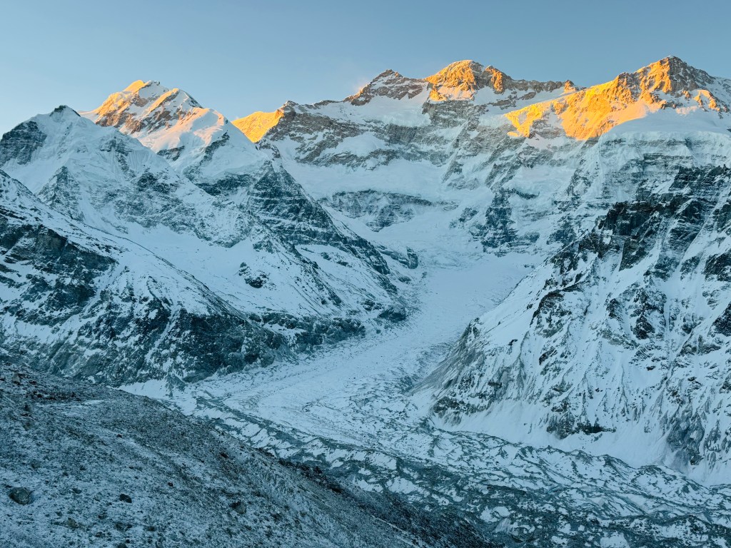
LookLooking back, they saw the entire valley was out of darkness. The full course of the Kangchenjunga glacier was now visible right from its inception from the slopes of the massif, all the way down where it followed a curved track to meet the main stream of ice. It was all monochrome. But that was about to change soon. The summit of Yalung Kang was the first to receive the touch of gold. It then started spreading to the neighbors. The main Kangchenjunga summit acquired a golden outline, but the color of flying plumes of snow from behind its summit indicated that it received its share of golden shower on that side which wasn’t visible from Pangpema.

En-route Drohmo Ri

En-route Drohmo Ri, picture courtesy, Dhananjoy Dey

They kept plodding ahead, but it started setting on them that it was going to be a tough ask. Time wasn't the problem, terrain was. Even if one was fit enough to overcome the effects of altitude, but they kept thinking about the descent. The snow now covered almost the entire trail. It gave an uneasy levelness,, hiding the gaps bebetweenween the loosely stacked rocks. They'd have to descend over the same surface during a period, when the solar rays would ststart mert meltingting the snnow on w on the rockhe rocks, making them, making them. The crust of snow covering the surface would melt, making themhem ripe for slides. The incline made it more dangerous to arrest such slides during descent.

En-route Drohmo Ri, picture courtesy, Dhananjoy Dey

By now the sun was at its full display. The colors on the mountain slopes changed to dazzling silver. It had been 3 hours since they started. At about 7 AM, theyhey decided too tuturnn ararouundd as as the riskisk wasn''t worth taking taking. Dhananjoy usually doesn't budge so easily, but when it came from the mouth of the local expert, he had to heed. Though the actual top of Drohmo Ri remained beyond limits, but nature was generous enough to fill their laps with ample display of it's beauty. Just as they were about to descendd, Dhananjoy's gaze got fixed at a growing cloud of white coming down the slopes of Mt Kangchenjunga. An avalanche! It wasn't big, going by the standards at Kangchenjunga, but the mountain was kind enough to reveal itself in its all forms. Despite having to turn around, there was no reason to complain.

En-route Drohmo Ri

The descent was challenging enough because of its slope, uneavenness and the cover of snow. There were a few slides on their way down, but fortunately, arrested within limits. Apart from the wetness caused by the ice, there wasn't any other cause of concern. The incline eased with descent and with careful steps they made it down to the base camp by 8 AM. They reached the limits that were permissible under the circumstances.

Pangpema (north) base camp, picture courtesy, Dhananjoy Dey

After breakfast, it was time to bid goodbye to the Pangpema base camp. For one last time, Dhananjoy cast a glance at the Kangchenjunga massif as it was about to disappear from sight. They turned their attention and headed towards Lhonak.

En-route Lhonak, picture courtesy, Dhananjoy Dey

Lhonak, 21st April, 2026

I had better sleep on the previous night. Some of it may have had to do with getting adjusted to the altitude, but the rest of it was about the prospect of having a full day's rest at Lhonak. There was no hurry to get up early as there was nowhere to go (or so I thought). The alarm went off, but I kept lying on my bed, enjoying the warmth of the blanket. But after sometime, looking at the sunlight through my window, I felt it was criminal to lie down while the sun played the painter on the mountain tops. I came out to the lawn and quite expectedly, the colors started unfolding on the canvas.

Lhonak

As the day before, there was frost on the ground, but the lawn was bathing in sunshine. I had my breakfast and chose to lie down on the benches spread out in the lawn. Carole was out there too. She would be leaving for Khambachhen in the morning. She had been interviewing people at different locations on this route about the changing climate and its effect on their lives. She had interviewed Nupu's brother at Ghunsa. She was now planning to interview the current lodge owner and had plans to interview Nupu at Khambachhen. The owner, who was roaming around in the lawn, holding the little hands of his small kid, trying to make him learn to walk. The kid would creep on the frost, try to rise up taking support of the chairs, walk on his feet for some steps, tumble down, only to rise up again to repeat the same cycle. It was a treat to watch while his father kept vigil.

Lhonak

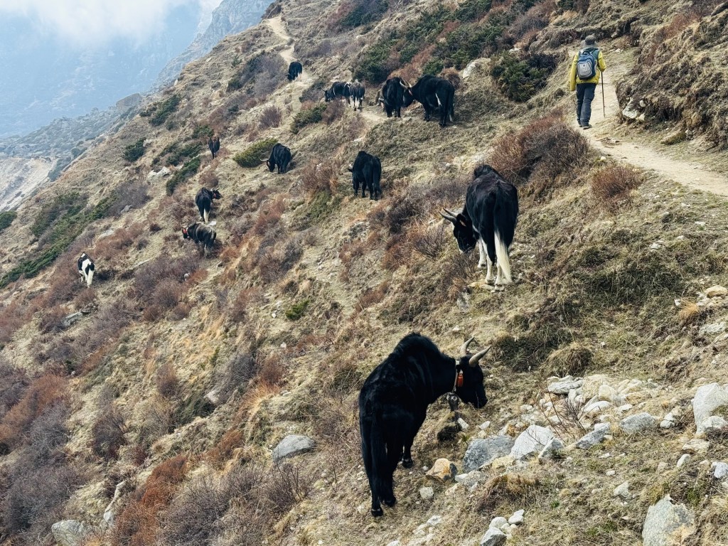
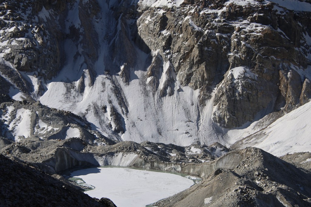
Carole asked me to record her interview. I had to walk up to the edge of the glacier, where she had the conversation in its backdrop. She wanted to show the big lake. According to the owner, that lake had multiplied in size over the years at an alarming rate. It was supposedly at a risk of bursting and if that happens, it would wash out places all the way till Taplejung! During construction of lodges or repairs, they have seen layers of permafrost beneath the ground. It shows signs of cracking. Which means that the ground on which the tea houses stood, could also be slipping away, literally, moving under their feet! The officials of the Kangchenjunga conservation area visit their site regularly to collect taxes (for being allowed to run lodges on the land owned by the  Conservation office), but such funds are not being used for sustenance of the environment. Carole did a heart wrenching commentry, while I assisted with the video. She was pleased with my effort and we hoped that the video, when circulated, would raise the right ripples. After sometime, Carole strapped up her backpack and headed for Khambachhen. I spent the rest of the morning, lying down on the armchair, enjoying the sun. Time passed lazily. I didn't expect Dhananjoy and Dilal to return before 14.00, or possibly later. To my surprise, they turned up at 11.30 and immediately declared about a change of plan. "With the entire afternoon at our disposal, what's the point of staying at Lhonak? Let's get down to Khambachhen instead and enjoy our stay there!" I had no problem since I had a full day of rest since my return yesterday. It was a welcome suggestion, but I asked for confirmation of his health, to which Dhananjoy replied affirmatively. After rising at 4 AM, completing a hike for about 4 hours, then another trail down to Lhonak for another 2.5 hours, he was still ready to venture further down for 2.5 hours! I packed my bag and after lunch, we hit the trail. Clouds covered the mountains by that time. Under overcast conditions, we walked down to the bridge over the Lhonak river and started hiking through the landslide area. Winds were blowing, we crossed the area, casting regular glances towards the upper slopes. At the familiar bend where we saw the Kangchenjunga glacier for the first time on our way up, we turned around. We walked through the plateau of Ramdang and started descending the landslide area. Familiarity to the trail and prospect of reaching Khambachhen removed my anxiety and I descended carefully but steadily to reach the banks of the roaring Ghunsa. The narrow line of steps along its banks didn't seem scary (just that we had to keep looking up the slopes at regular intervals). After crossing the warning sign-board, we started hiking up towards Khambachhen. It started drizzling and we had to put on our rain covers. Just as we covered our bodies, the drizzle stopped. As we neared Khambachhen, we saw yaks grazing along the mountain slopes. Some were up on the slopes, some down, while others roamed freely on the trail itself, munching the leaves. As I neared, they were courteous enough to make way for me by either moving up or down the slopes.

En-route Khambachhen, picture courtesy, Dhananjoy Dey

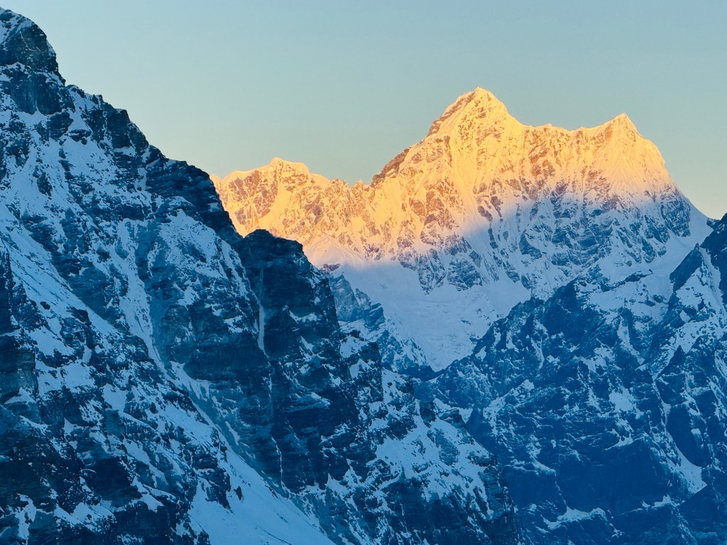
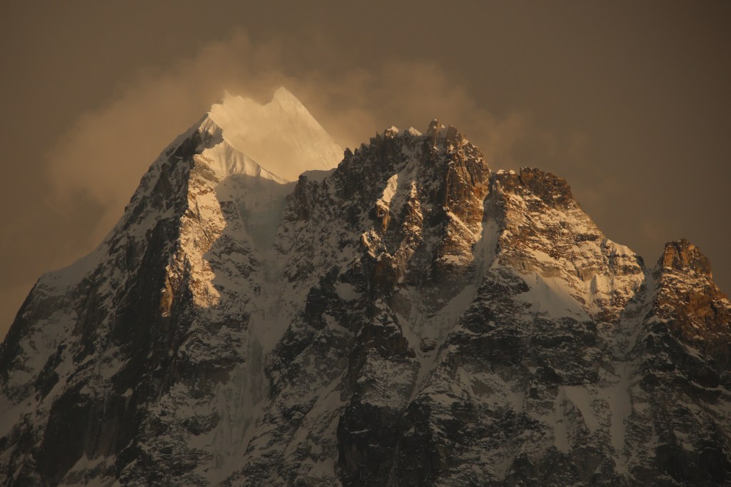
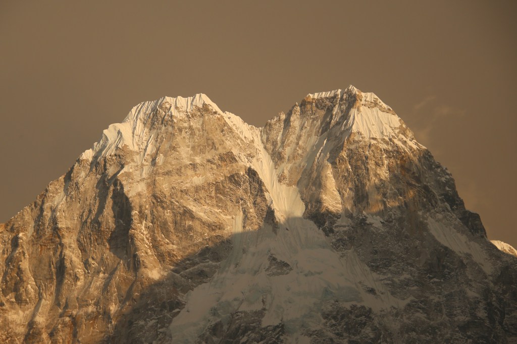
We kept walking along the trail and reached the familiar bend towards Khambachhen. The sight of the tea houses, the flowing stream and the trail on the other side were all familiar and gave a sense of security and relaxation. Nupu alloted the room to the right of the one he gave us on our way up. After changing, we went to the dining room. Meeting the French group was pleasing. Suddenly, someone attracted our attention towards the lawn. The clouds started clearing and amidst their dark background, the fading sunlight fell on the summits of Mt Jannu, Mt Khabur, Mt Phole Sobithonje. The golden summits floated amidst the dense and dark clouds.

Mt Khabur, Khambachhen
Mt Phole Sobithonje, Khambachhen
Mt Tanga and Mt Sharphu Li, Khambachhen
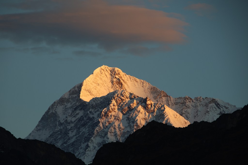
Mt Jannu, Khambachhen

Khambachhen

The window of colors lasted for just a few minutes and then the entire area was covered with mist. We went inside the dining space and enjoyed the rest of the evening. Since it was on our way down, beer was permissible. Dilal didn't complain, probably because he was made a party to it. Didi (Nupu's wife) obliged us with a bowl of complementary popcorn. After a dinner with pizza, we slid under the blankets. Our plans for the next day was to skip Ghunsa and get down to Gyabla. The prospects of staying at the comfortable Singhi Namjong hotel once again, made us excited.

Earlier

Next

Kangchenjunga north (Pangpema) base camp

Earlier

20th April, 2026

I didn’t sleep well. For the first time on the trail, I felt the thinness of the air. Initially, I wrapped my face under the blankets just Keeping my nostrils out. But, increasingly I felt better only by keeping my entire face open, breathing through my mouth. After tossing around for sometime, tiredness got the better of me. Keeping to the weather pattern, we woke up once again to a clear sky. There was some precipitation on the previous night. When I went out in the lawn, the ground was covered with white with frost. The dripping dew from previous night froze in the wee hours and the drops solidified mid air while falling from the roofs. Icicles of different lengths hung in the air. Carole was already on her way towards the base camp. We also wanted to hit the trail as early as possible. Afternoons get very windy as the entire trail is along the edge of the Kangchenjunga glacier. Gusts of winds start rising from the glacial bed to fill the valley with dust and cold. The surrounding peaks were ready to mermerize us with their crowns of gold.

Merra peak, Lhonak
Lhonak, picture courtesy, Dhananjoy Dey

We entered the dining space to have our breakfast. After some quick photographs at the lawn, we hit the trail. Based on the discussions we had with Dilal and Limbu, there were at least two large and active landslide areas to cover on the way. According to Limbu (who has been there umpteen times), one of these were just before the base camp. There is a steep descent followed by an equally steep ascent. All of that over unstable ground under the constant threat of falling stones. It seemed that Kangchenjunga wasn’t going to allow easy access to its premises. This is where it differs from the Everest base camp trail. At no point in that trail there’s any section that one could call as risky. Yes, there are places where it can he tiring, altitude can play it’s part, but if one is fit enough and keeps precautions (like regular intake of enough fluids), it’s only a matter of time to reach your destination. In every venture in the Himalayas, there are such trails. On earlier ocassions, they kept bearing upon my mind. On this ocassion, I chose not to. The trail went behind the dining space of our lodge. The ground was covered with frost but was level. We crossed some rubber pipes on our way. These pipes supply water to the lodges. They carry water from springs or waterfalls high up in the mountains.

En-route north base camp, picture courtesy, Dhananjoy Dey
En-route north base camp

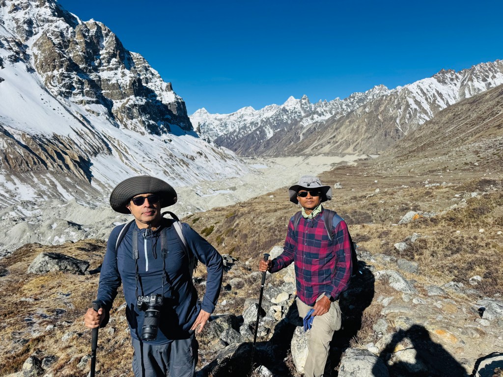
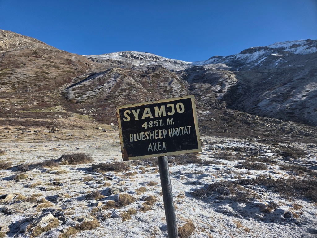
The ground was white because of the frost, but some sections of it was moist. We also had to cross a few narrow streams of water. These were a result of melting of the frost by the rising sun. To our right, beyond the ridge, the ground dropped steep into the bed of the Kangchenjunga glacier. Beyong the glacier, the walls rose steep all the the way up where Mt Gimmigela stood guard. The northern sky was dominated by another awe inspiring mountain, the Nepal peak. There were many other mountains, all dazzling in the bright sunshine. Their glaciers and ice falls, ever more prominent.  We reached a sign-board that read “Syamjo”. It was also labeled as a blue sheep habitat area. We couldn’t spot any of those animals around.

En-route north base camp

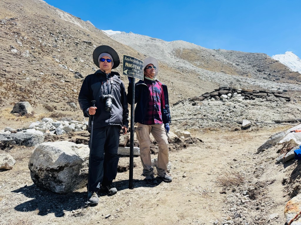
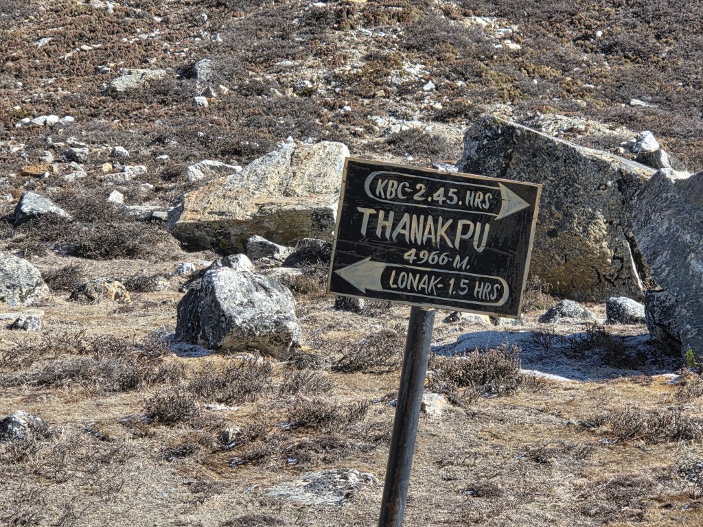
We kept plodding ahead. The trail still wasn’t steep. Though we walked on relatively level ground, the thin air had its impact on our lungs which had to work harder. We made sure to stop intermittently to gulp down sips of water or pop in lozenges. After about 1.5 hours, another sign-board appeared – “Thanakpu 4966 m”. Two arrows on that board pointed in opposite directions. One towards the Pangpema base camp, still 2.5 hours ahead. The opposite arrow pointed towards Lhonak with an estimated time of 1.5 hours. The displayed time on our respective mobile phones tallied with that duration when calculated from our starting time.

En-route north base camp

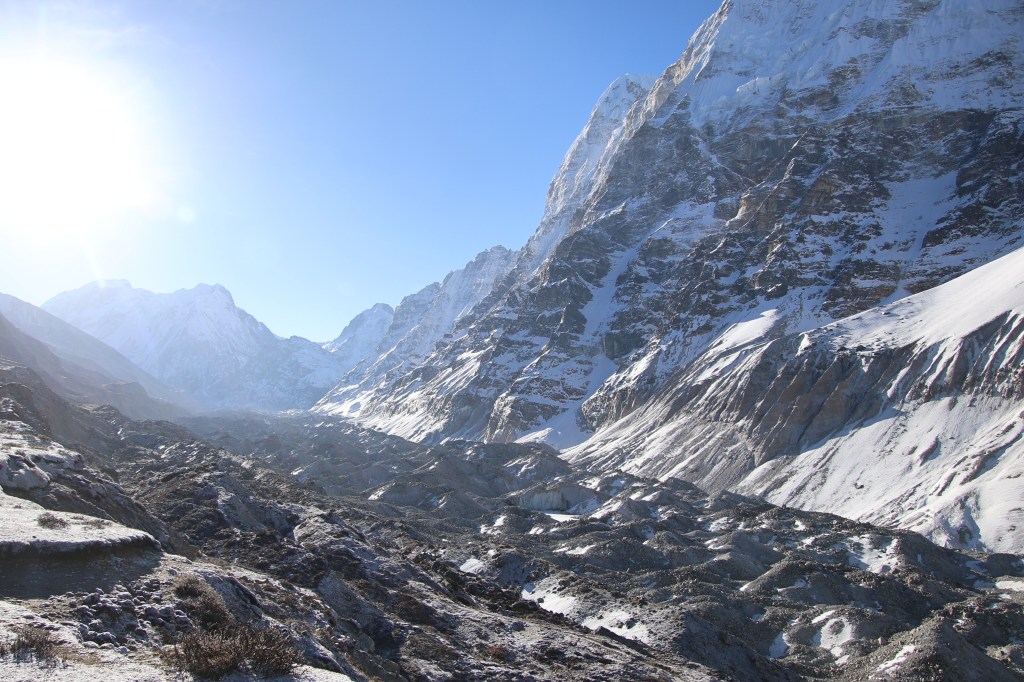
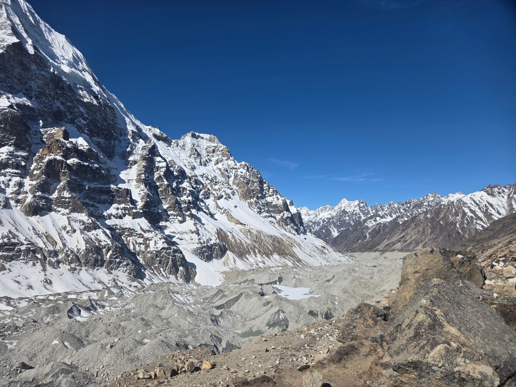
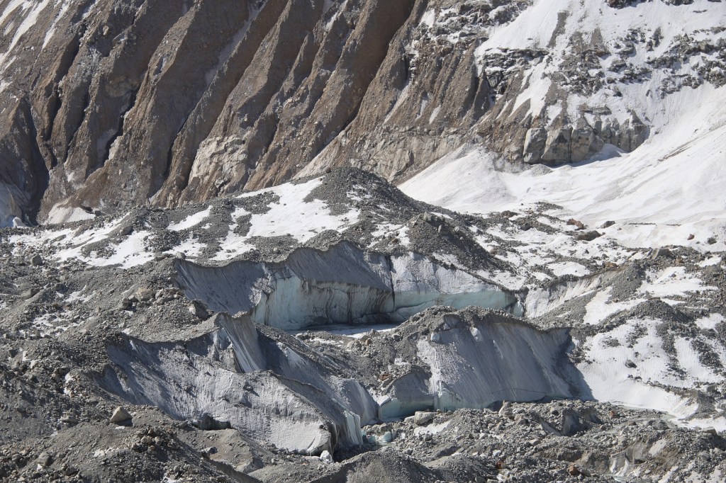
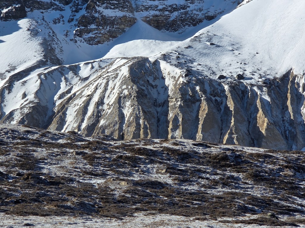
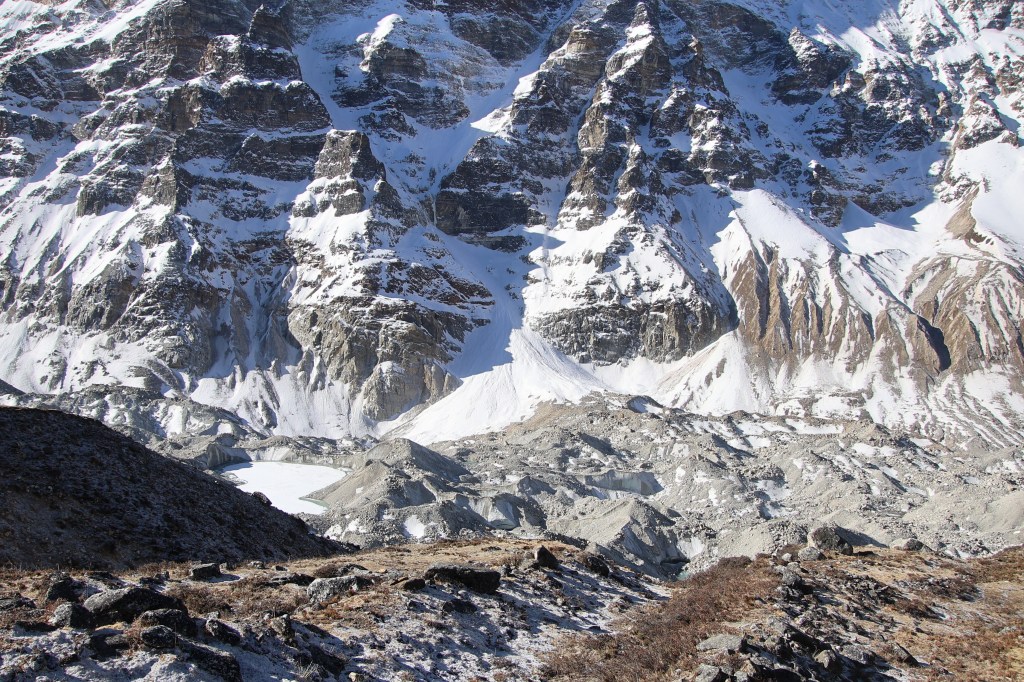
The track moved towards the edge of the glacier and we reached another sign-board, this time not advertising the name of a place, but to mark the start of the first landslide area with a caution to watch out for falling stones. The trail abruptly ended at the edge. From thereon, a narrow line moved through pebbles, rocks and dust. That line was created by travelers barely making their way through this debris. We started treading down the path carefully, keeping a vigil on the ground above. But the unstable ground below our feet also made us look down to our right where the bed of the glacier lay bare. It appeared as a stream of rocky dunes filled with cracks and crevasses that revealed the icy interior. There were pools (many small and some large) of greenish or muddy waters.

En-route north base camp

It was a beautiful sight but we couldn’t afford much time as the landscape gave enough motivation to quickly get over it and regain the higher stable grounds. While gravity pulled us down towards the glacial bed, the unstable ground kept conspiring to dislodge our feet. I gladly accepted the supporting hand of Dilal. Getting a hand of support on such terrains offer more of mental peace rather than anything else. A strong enough slide could lead you down fast enough and no hand of support can help. The descent almost took us to the glacial bed, where it leveled out only to ascend once again. The way up was through unstable heaps of pebbles and stones. I always found ascents to be safer than descents. After working our way up, we regained the higher ground once again. We took some rest to allow our breaths to settle down. That also allowed us to look back at the terrain we just covered. It weighed somewhat in my mind that the same traversal would be repeated in the afternoon on my way back. We continued our push towards the base camp, which was getting nearer but still there were no signs of it. Neither did we get even a glimpse of Mt Kangchenjunga. It  was like the head of a nation delegating responsibilities to the beurocrats (the other mountains on the route) to escort us to its base. After giving some respite, another landslide area started. On this ocassion there was no going down but a scramble to go up amidst the loosely stacked rocks. Iron poles were placed along the entire trail at regular intervals, acting as milestones. We saw them here too, some of them about to be dislodged from their positions by rocks which fell from above. They were just about holding out. Nevertheless, they continued providing direction amidst the maze of rocks. After sometime our ordeal came to an end.

En-route Pangpema (north) base camp

En-route north base camp, picture courtesy, Dhananjoy Dey
Nepal peak, en-route north base camp, picture courtesy, Dhananjoy Dey
En-route north base camp

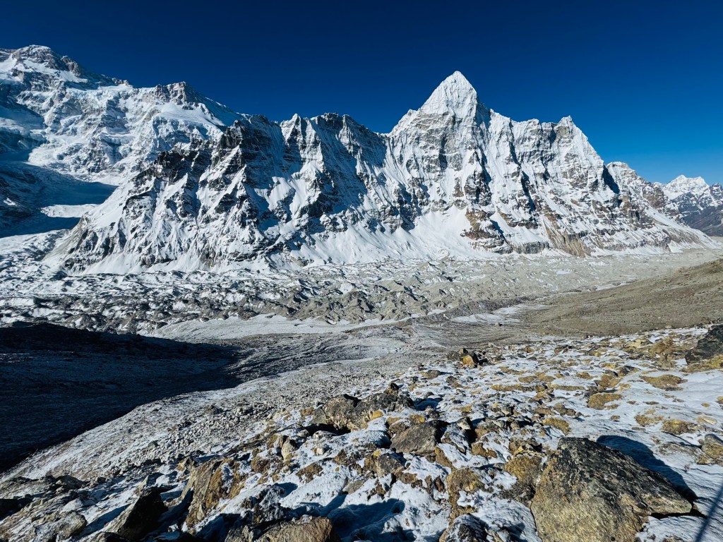
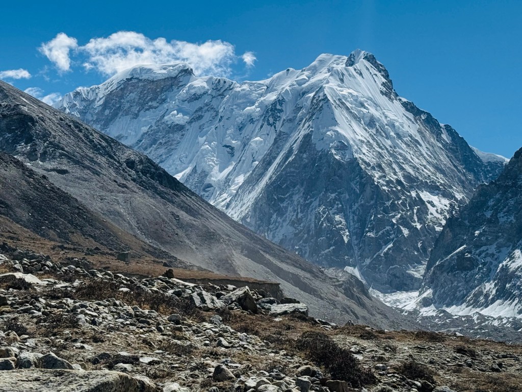
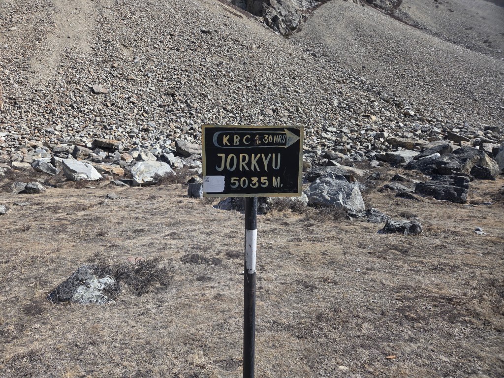
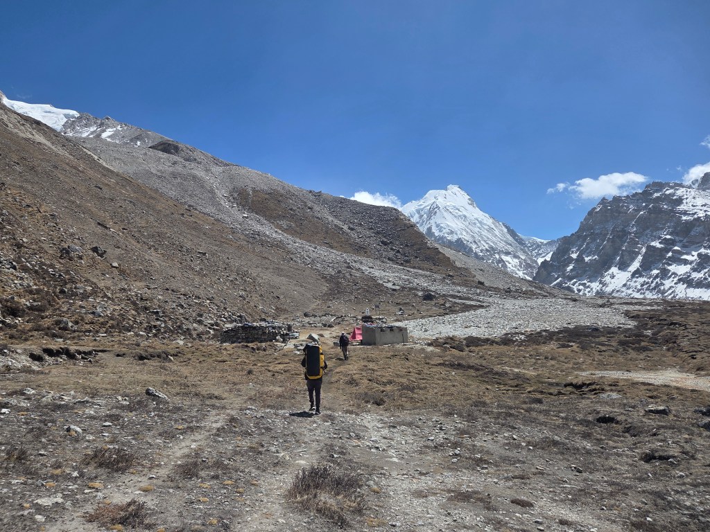
We saw almost level ground stretching to the horizon. Nepal peak increased in its stature but Kangchenjunga continued to elude us. "Jorkyu, 5035 m" - another sign-board declared. The base camp was another 100 m above. Going by the estimated time displayed by the board, we had another 1.5 hours left of the trail. The valley widened and the trail went through the middle of it. The sky was devoid of clouds except floating small white puffs. The mountains had the entire canvas to them and they justified it. We were walking towards the base of the eastern most mountain that reached above 8000 m. The Himalayas which traverse from the north western corner of India to its north east, gets closest to the sea in this area. That causes more precipitation in this area from moisture laden winds than any other parts of the Himalayas. A small hut appeared on the horizon. As we moved closer, another became prominent. From this distant place we could faintly see a few flags. Beyond the huts and near the flags, there were a few tents whose flaps were floating in the winds. Pangpema (5143 m) was finally in sight! That prompted me to turn to my right and there was the lord, in its full glory. The north face of Mt Kangchenjunga with Mt Yalung Kang to its east.
Mt Kangchenjunga and Yalung Kang, Pangpema (north) base camp

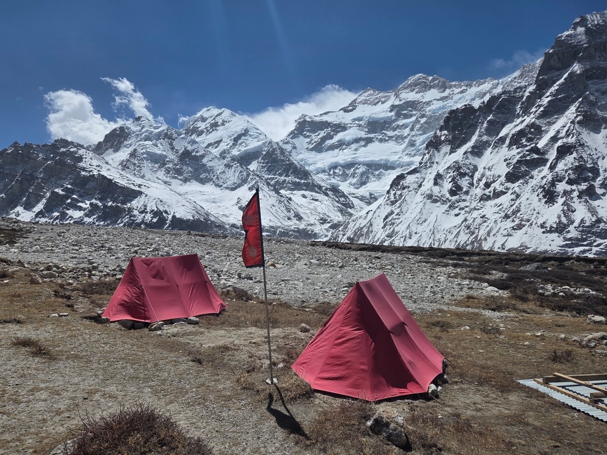
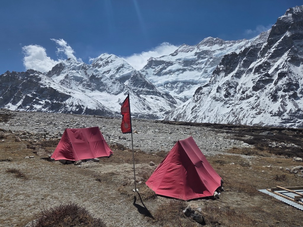
We increased our pace and reached the base camp almost in no time. Pangpema just has two tea houses. One of them has its room underground. But that was closed. The other tea house has a dining place but the staying option was in tents. Two tents were setup. Looking at them, they appeared spacious, at least enough for two. I tried to soak in the beauty of the place. Looking around, the horizon in every direction was dominated by snow peaks. On the extreme right, there is Mt Gimmigela.

Pangpema (north) base camp

Pangpema (north) base camp, picture courtesy, Dhananjoy Dey
Pangpema (north) base camp

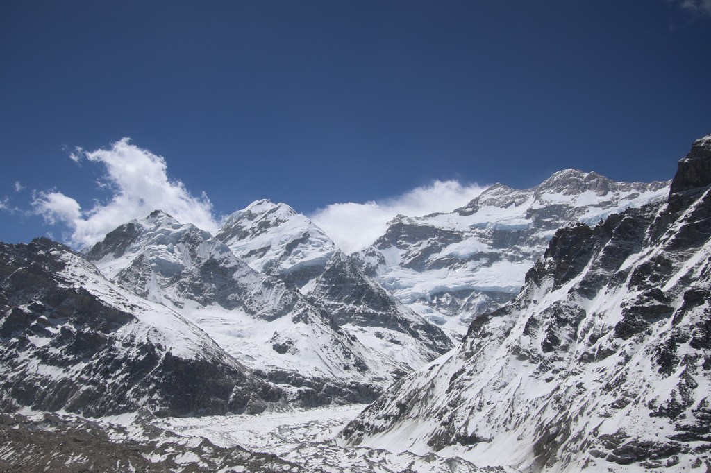
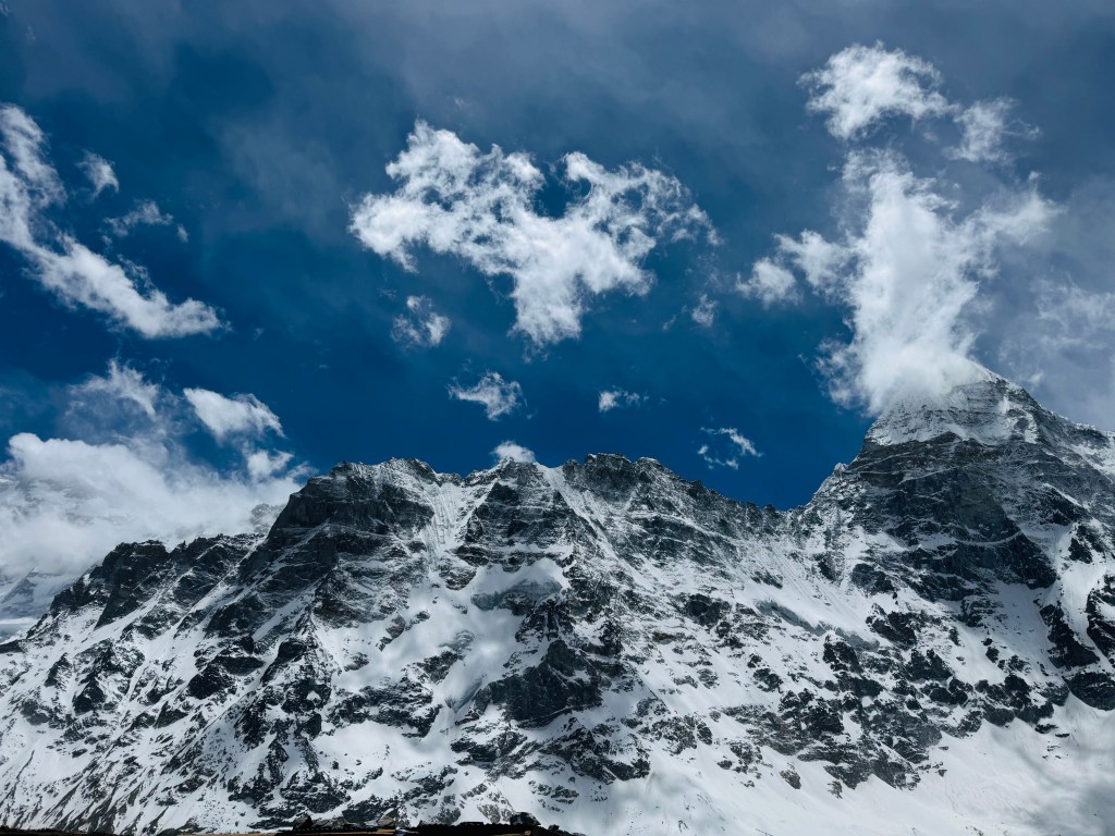
As one turns anti-clock wise, one encounters other peaks and then the gaze gets fixed at the center. That's where the huge triangular massif of Mt Kangchenjunga appears. We kept looking at it, awestruck. The mountain rises from the base of the glacier in different phases,  each marked by hanging bodies of snow and ice. The pyramid gets narrower as the vision goes up along the slopes and finally ends in two distinct peaks, Mt Yalung Kang (8085 m, alternatively known as Kangchenjunga West) stands on the right. To its left, rises the main summit of Kanchenjunga (8586 m), the third highest mountain of the world. On this ocassion, bathing in bright sunshine. Dense white clouds formed its background, but the summit of both the mountains stayed clear.

Mt Kangchenjunga and Yalung Kang, Pangpema (north) base camp

A stream of ice and snow came down its slopes,  carrying the discharge of other surrounding mountains to merge with other such streams to form the Kangchenjunga glacier, which went all along the trail towards Lhonak and further down into the valley to give birth to the Ghunsa river. This huge massif was the source of multiple glaciers which drained its different slopes to form many other rivers and fed their respective valleys. Just as the Kangchenjunga glacier on this side, Yalung glacier lay on its southern slopes. Other than Ghunsa, the glaciers originating from this massif gives birth to the Tamor amd Teesta rivers.

Nepal peak, Pangpema (north) base camp

Nepal peak stood firm, guarding the northern horizon. Unlike the Everest base camp, the entire place just had a handful of people. There were no expedition camps. This is because, the north base camp gets used to climb the northern face of a Kangchenjunga, which is dangerous and requires more technical climbing. The climbers attempting the north face typically advance further to setup higher camps. Most of the climbing happens via the southern (Yalung) base camp. Time flew by and we were reminded that our lunch was ready. We went inside the small dining hut and made ourselves comfortable at the table. Dal bhat was served. This meal was a result of sweat and toil of innumerable porters and yaks who carried all the raw materials (rice,  vegetables, even the cooking utensils,  oven, fuel etc.) to the base camp all the way up from the lower valleys. We, as urban dwellers, cannot even realize the necessity of such people in sustaining this trail.

Pangpema (north) base camp

After lunch, I started to prepare for our return. As planned earlier, Limbu was to accompany me. I bade a temporary goodbye to Dhananjoy and Dilal. They'd stay at the base camp to attempt a hike to Drohmo Ri (~6000 m) for the next day. I cast a final look at the surrounding mountains from the base camp, especially, Mt Kangchenjunga as it will go hiding again behind other mountains as soon we exit Pangpema. The sky was still clear, though more clouds started closing in towards the mountains.

Pangpema (north) base camp, picture courtesy, Dhananjoy Dey

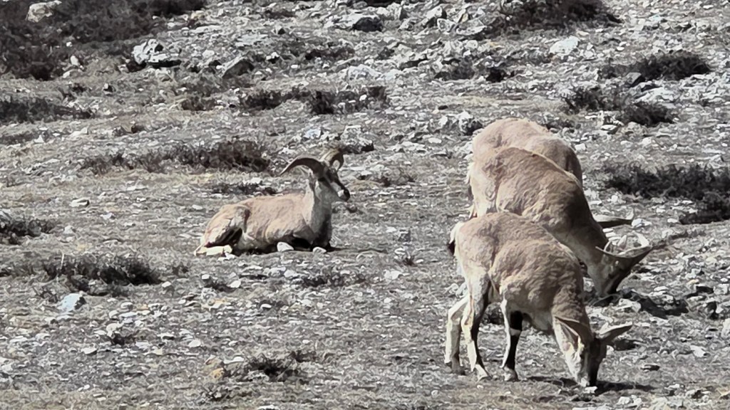
Limbu kept ahead of me, but was within reach. We soon reached the first landslide area and started moving down the slopes. For a change, this didn't seem as dangerous as while we crossed it on our way up. The place started to get windy. By the time, we reached the second landslide area, strong winds started to rise from the Kangchenjunga glacier. I had my jacket, hat and gloves on my body. Even then, it seemed insufficient. The strong gales also raised the risk of stones sliding down. I took support of Limbu's hand and started the descent. He was moving fast and I had to keep up with the pace. At times, I almost felt getting dragged down. With unstable ground under my feet, it proved difficult. The sight of the glacier with gaping crevasses below also added to the stress. Instead of trying to get a conscious grip on my steps, I chose to let go, despite some minor slides on the way. Fortunately, such minor slides got arrested quickly. Finally, we reached a level track that ran parallel but very close to the glacial bed. Then came the ascent. I scrambled up through the broken slopes and crossed the sign-board that warned about the start of the landslide area. After regaining high ground, I stopped for a moment to gulp down some sips of water. My mouth ran dry. The strong gales of wind dashed against my body. The constant sound made it impossible to hear anything else. Limbu was way ahead of me. I tried calling him but my shouts died amidst the blowing gales. I met Carole, who was resting at Syamjo (the place labeled as habitat for mountain goats). When I reached there, I found the reason. Herds of goats were roaming around the slopes nearby. They gave ample time for some stills as well as videos.

En-route Lhonak

Reaching Syamjo made me feel at home as Lhonak was just about 1.5 hours away (distances are always mentioned in terms of hours, rather than kms, in the Himalayan trails of Nepal). I felt a few raindrops on my body. That caused me to pace up. The drops increased in their frequency. The sight of the distant tea houses of Lhonak gave me immense relief. I was finally back at the tea house at 14.30.

Stay at Pangpema base camp

This section has been described based on experiences of Dhananjoy and Dilal.

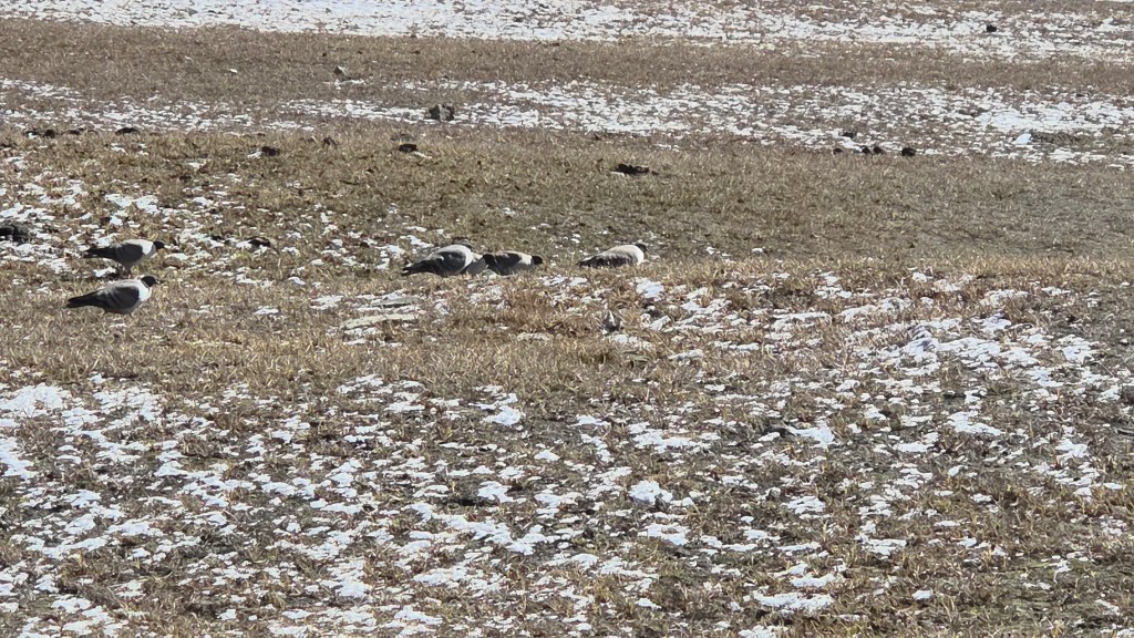
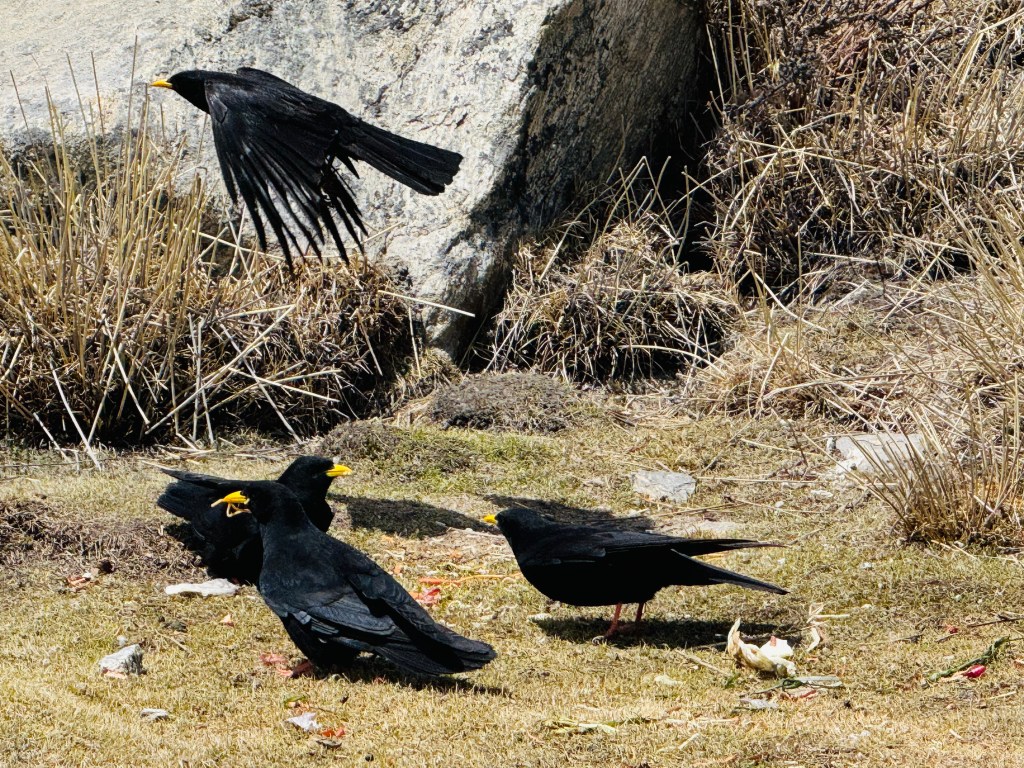
After lunch, Dhananjoy and Dilal explored the interior of the tent. It had decent space for two persons. Enough matrices were laid out. There were warm blankets too. Regardless of the bedding, they realized that they needed to keep their warm wears on while sleeping. The weather still stayed clear. As afternoon wore on, winds started getting chillier. They knew as soon as the sun goes down behind the mountains, temperature would plummet. A set of Alpine Chough's (a bird that looks like a crow, but has yellow beaks) kept searching for some food in places nearby the tea houses.

Pangpema (north) base camp, picture courtesy, Dhananjoy Dey

Pangpema (north) base camp

In later afternoon, a herd of blue sheep came and started roaming quite close the base camp tents. Dhananjoy looked at the slopes to the opposite side to search for the trail of Drohmo Ri. There wasn't any formal trail. Just a track that could be identified by traces left by earlier travelers. The entire hike was through boulders. Every year, it changes. Only local guides who've been there before, could find their way through. Even Dilal was going for the first time. Fortunately, there was another guide from a different team, who've been there before. They decided to team up for the morrow. As darkness started setting in, they moved inside the tea house to have some tea. They stay put to have the warmth of the kitchen till dinner got served. After that, they slid to their tent under the warmth of the blankets with their jackets on. The next day, at about 3.45, their hike to Drohmo Ri would start over the surface of loosely placed boulders, likely to be covered with snow. They were sleeping at 5143 m.
Earlier

The Barun valley – Danda Kharka

Earlier

Next

28th October

When we saw off Raju, the light from my torch sparkled on flying snow flakes. At the wee hours of the night, these two lads ventured down the tracks from the Shipton La. We knew what lay on that side. The stoned staircases lined the rocky walls that went straight down to the banks of Sano Pokhari. None of it would be visible to these two. I felt sorry for them. I can never imagine walking down such slopes at the dead of the night. It would be terrifying for me in such circumstances. Not even the moon or stars were there to shower light. As I watched them disappear beyond the bend, I prayed for their safe travel. The sight of flying snow flakes didn’t bode well for the next morning. At 4 AM, I ventured out to go to the toilet. It was placed at the corner of a lawn behind the tea house. The entire stretch was covered with snow. The stairs that led to the lawn, the lawn itself, nothing was devoid of snow. I demurred for a while but managed to muster enough courage to venture out. I didn’t want to go through the pain of strapping on the shoes. So, I went out in my slippers. Walking on snow with rubber slippers had its challenges. There was that constant fear of toppling down. The toilet seemed miles away! After jostling through the snow, when I finally reached the toilet, it felt like an achievement! Till I was inside, I kept hearing snow falling on the roof. The same journey had to be repeated in the opposite direction. Snow kept falling relentlessly and I finally reached the tea house. When I reached the room, I found that almost the entire right edge of the bed was wet. This was due to the constant influx of snowflakes through the gaps in the walls. Their volume increased by the minute. It was time for us to get ready anyways. For the second time, I had to put on the micro-spikes. After breakfast, Manoj picked up two of our bags. Kunal’s bag was packed up and dispatched with Anil on the earlier night. Visibility reduced to just a few meters. It was a monochrome setup with everything coated with white! On some other occasion, it would have raised our excitement, but I had my concerns. Manoj was young and we were three of us to tread down the pass. In normal conditions, the trail was easy. We could have easily gone down while keeping our eyes on the Sano Pokhari lake. We would cross along its banks. On the other side, there was the hike to Ghungru La, all supposed to be familiar.
En-route Ghungru La, picture courtesy, Kunal Kishor

From its top, one could even see the next top, Khongma La. After that, it was all down to Khongma and beyond. I felt comfortable after reaching Shipton La on the prior night. The comfort came from the fact that rest of the trail was easy enough and “known” to us. It was almost like homecoming for us because we spent two days at Khongma on our way up. On one of those days, we went up to Khongma La. But with the incessant snow since last night, the whole track changed its character. Manoj made his way down through the dense white fog and snow. Though the stairs were carefully laid out with stones, I kept treading cautiously. The micro-spikes gave stability to the steps. Dhananjoy & Kunal didn’t bother wearing them. They didn’t wear even on the way to the base camp. Kunal was quite excited with the atmosphere. He kept taking pictures and videos of the trail as winds kept sweeping against our faces. I had the whole of my body covered. Jacket, gloves, inner warm wears & head covers. But that wasn’t enough to prevent the wind & snow to attack my face. I didn’t even bother to take out my camera. The track went down through the swirling switchbacks. We encountered a few patches where we had to cross over boulders. The rest of the trail was safe enough despite being covered entirely with snow. The visibility was limited to a few set of steps ahead. Everything else was behind the shield of white fog & dense cloud. We knew that we were walking towards the banks of Sano Pokhari, but none of it was visible. Only after we reached the banks, we saw it. It’s surface was covered with snow, except a few patches of water.

Sano Pokhari, picture courtesy, Kunal Kishor

By this time I got used to the trail and it’s state. Despite the snow, I now enjoyed walking. We started moving up once again, this time with the target of reaching Ghungru La. It was all familiar, yet nothing resembled what we saw on this trail on our way up. Midway to Ghungru La, we saw Anil coming down the slopes. Not that we needed him this time, but I was overwhelmed by his sense of duty. He did the same on our way to Phemathang. They do these services without any qualms. We learnt from him that they reached Khongma at about 2.45 AM and now he was back to help us out. That took him to cross Khongma La & Ghungru La (two passes which were above 3800 m)!

En-route Ghungru La, picture courtesy, Kunal Kishor

He offered to take my backpack. I more than obliged him! We moved up the gentle slopes and reached Ghungru La. This stretch between Khongma and Dobato is unique. The four passes and the two lakes, Sano (small) & Thulo (big) Pokhari, the changing landscape from large trees to the barren slopes with boulders- it has it all to enchant the travelers. The track could be tiring but its worth the effort. This tract separates out this trail from other trails of Nepal. There’s no other tract that gives so much variety.

En-route Ghungru La, picture courtesy, Kunal Kishor

The weather kept it’s intensity and the snow was relentless. When we reached the Ghungru La, nothing was visible on any side. We recalled the views of distant mountains from here. But today, the only thing visible was the ground on which we stood. Apart from a few black patches of stones, it was all white. The prayer flags hanging from the stupas added the only color to the monochrome scene. My mind was drawn to the next pass. Beyond it, we’d say goodbye to the snow line. We would then enter the woods of the lower reaches. If we’re seeing incessant snow at these altitudes, it must be raining heavily in those areas. This could spell troubles for us. Even traveling from Seduwa to Tumlingtar could prove problematic as the road was not paved for a large section. And who doesn’t know that such rains could trigger landslides and road blockages. I forced out those thoughts from my mind & concentrated on the descent from Ghungru La.

Ghungru La, picture courtesy, Kunal Kishor

As expected, nothing was visible except the few steps ahead. The descent was steep, though the tract was well laid. We knew that somewhere down, behind the white wall of fog, lay the Khongma La. I carefully treaded down the swirling switchbacks. I knew there were many of them. The snow on the tract made the descent slow. I was anticipating something else. On our way up, we made our last calls to our homes at this area. Given the weather conditions, I was hoping against hope to do the same. It should be somewhere at the place where the slopes gentle out. They rise again for the last pass on this route, the Khongma La. I switched on my phone and as expected, after sometime, I heard the tone of a message arriving. It signaled our return to the “connected” world. I was able to reach out to my home. They were relieved to hear from us after a long gap of four days. While I was lucky, others weren’t. The network lasted only for a single call and disappeared. However, I had asked my wife to inform members of others’ families. Our careful treading of the track continued and we finally reached the Khongma La. We recalled our first view of Mt Makalu from this place. The watch tower was still there, standing out lonely raising it’s head above the dense cloud and mist. The track from here was wider. For the first time, I saw the signs of the snow depleting. From now on, lesser sections of the track had snow cover. After sometime, Dhananjoy shouted out to me to remove my micro-spikes. Walking on bare rocks with them on could spell trouble and cause their damage. It could also destabilize the feet. Without snow cover, they could get anchored in the cracks and cause a stumble. I heeded the call and sat down on the rocky staircases to remove them. I quickly realized my foolishness, but by that time the damage was already done. My pants got wet. So far the cold was outside, but by this act, it entered inside. Snow gradually gave way to wet and exposed rocks which were slippery. Now that micro-spikes & snow were off, walking was more carefree but within a limit. Snow was replaced by rain and the intensity was high. We gradually crossed the lodges of Khongma. This time around, we won’t be staying here. So we headed towards one of the tea houses at the flat top and entered the dining room. Raju wasn’t there. He had headed down to Danda Kharka to ensure our stay there. As lunch started getting prepared, Anil revealed that on their way down, apparently Raju heard some cries from the dark. He was sure that came from the spirits that inhabited the surrounding hills. To ward them off, they lit up fire. After all these antics, they reached the tea house at the wee hours of the morning.

As soon as we entered the dining place, I started shivering. Though we were sheltered from rain & cold, the place wasn’t warm enough. I removed my poncho & jacket to hang them up. This was to rinse off the accumulated water. A feeble fire kept burning at the center. Some other travelers gathered there. They came from Eastern districts of Nepal bordering the Indian states of West Bengal & Sikkim. They were on their way up but the heavy rain caused them to spend an extra day at Khongma. Given the weather conditions, we suspected that their stay can be longer. After lunch we headed down. The rain kept lashing at us. We crossed the resting place after Khongma. The stairs moved steeply down after that and we entered the woods. On clear days, the fields & houses of Tashigaon are visible from there. But, they are now shielded by the clouds. An hour and a half led us to Danda Kharka. We hoped to meet Raju but he moved further down to Tashigaon after paying advance at the lodge. He wasn’t feeling comfortable here either. The lodge was packed. We removed our rain covers, hung them outside and entered the dining space. It was full to the brim. A small alley from the dining space led to our rooms. We later found out that we were extremely lucky to get accommodation at the tea house. Later on, we saw other groups turning up at the lodge. Those were ones who couldn’t advance further due to the downpour. Many had to sleep at the dining space, some even in the kitchen. After changing, the next challenge was to find space for drying our clothes. Fire was burning at the dining space, but all open slots around it got occupied by others. We somehow managed to sneak in our trekking wears amid others’. This is the only way to dry them up in this moist weather. While playing cards, I frequently checked how dry my clothes were. I kept changing their angles to give them the best chance to dry. It almost turned into madness before Dhananjoy started pulling my legs. While we enjoyed the cosy atmosphere inside with steaming tea, the downpour increased. Many groups were still trickling in. That evening was very enjoyable. The warmth of the dining place, the snacks, steaming tea, the games of cards. A nagging feeling kept me worrying about the state of roads lower in the valley. But for that moment I shoved them off. After a warm and cosy dinner, we slipped under the blankets. While we were tossing around in our beds, the sounds of raindrops increased on the roofs. They sounded scary. Sounds of heavy rain usually pleases me in the plains, but not in this part of the world. They can wreak havoc for the mountains. I was hoping the weather played decent for another two days to allow us to reach safely at Tumlingtar. Then a flight would take us to Kathmandu, within the reach of an international airport. Little did we know that nature had other challenges in store. We were sleeping at 3500 m.

Earlier

Next

The Barun valley – Phemathang

Earlier

Next

26th October

The visits to the toilet continued deep into the night. Though it spelled troubles for me, but it caused my headache to subside. The dryness of my mouth and a slight swelling of my tongue also vanished. The porters and guides from different teams continued their gossip and drinks late into the night. During my trips to the toilet, I glanced at the sky. On some instances they were clear, on others, they weren’t. That gave me some worry. Not only can they rob the chances of a clear sunrise. Gathering of clouds at this altitude can also mean snowing. That’s something we don’t want. My headache showed signs of decline. However, sleep was disturbed. Even a tiring day of hike couldn’t make me sleep well. This is enough indication that lack of oxygen was the cause. After tossing around through the night, when I was just starting to feel comfortable, the time was up. When I ventured out, the sky was clear. The entire massif of Makalu covered the northern horizon. Looking around, the other mountains were clear enough, except that their outlines were dark. Our exposed faces bore the brunt of cold. We didn’t yet dare to take our fingers out as the solar rays were yet to appear.

Makalu base camp

After some time, our perseverance bore fruit. The first solar rays began to decorate the heights of Mt Nepo and Mt Sersong. Makalu was yet to wear the crown. Though its entire massif was clearly visible. Clouds stayed clear off the mountain peaks. As soon as the first touch of gold started its patch on the mountains, we sprang into action. We forgot the numbness of our fingers in the biting cold and shutters kept rolling. We stood at the base of a wide amphitheater, surrounded by mountain peaks on all sides. Though others were equally beautiful and gave our first glimpse of golden shower, our eyes kept turning towards Makalu. It was yet to be bathed. These acts of nature move fast and colors change by the minute. So, there was no time to waste. We could see the entire trail we took to get to this base camp. A small track of steps moved up from the valley floor. The relentless sound of the Barun river’s torrent filled the air. Cold winds dashed our face. We were in full warm wears but none of them seemed sufficient. There came a point where all of the mountains wore the crown of gold, including Makalu. But the colors on the Makalu massif weren’t as glorious as they were during the previous day’s sunset. Nevertheless, we had nothing to complain as others filled that space.

Makalu base camp
Makalu base camp, picture courtesy, Kunal Kishor

After breakfast, it was time to bid adieu to the base camp. After a group photograph, we embarked on our return journey. We crossed the bridge over the Barun river and started moving up the slopes. What seemed easy while coming down, proved tough while moving up. The trail was just enough to put a pair of steps. Beyond that, the slopes moved steeply down towards the flowing Barun river. There was not an inch of soil visible on the surface. Manoj kept ahead of us, guiding through the route. Raju was behind me. I kept placing my steps in the marks created by Manoj. He judged the strength of the snow by placing his foot. The color of the snow in such foot marks gives an indication. If it appears solid white, one could assume them to be safe. But there are ones that are light blue or green. They are the ones to be avoided. More often, these are formed by fresh snow and could give in under body weight. The trail was precariously close to the edge of the slope. My entire concentration was on the foot marks. That didn’t let me soak in the surrounding beauty. Every thing was in monochrome. In fact, there was one color that dominated the entire landscape and that was white. I was waiting anxiously to reach that section of the trail which moved along the middle of the ridge with enough space on both sides. But that eluded me for long. The current stretch appeared never ending. But every ordeal has an end. So did this. Seemingly, after ages, we finally reached the ground where the trail moved along the center of the ridge. I breathed a sigh of relief. For the first time after leaving the base camp, I could focus on the surrounding landscape. By that time, the mountains bathed in silver. The entire Makalu massif was dazzling bright in the morning sun. Streams of snow and ice came down its slopes in the form of multiple glaciers and ice falls. The upper section of the massif contained rocks with a yellowish tinge. Geologists must have an explanation about the source of such rocks. They rose millions of years ago from sea bed due to the ever colliding Eurasian and Indian tectonic plates. The process that gave birth to these mountains, is still on. Mt Everest also has a band of such yellowish rocks near its summit (called the yellow band).

En-route Langmale

Walking was easy over the snow, thanks to the micro-spikes. The patches of snow kept decreasing as we progressed towards Sersong. Sersong is the interim place of stay between the base camp and Langmale. After sometime, the snow reduced to a great extent and I had to remove the micro-spikes from my boots. That’s when the roofs of the tea houses of Sersong became visible. We descended the slopes towards it and finally entered its lawn. We removed our day packs to take some rest along with steaming tea. The locals started to play some music and the Sherpa owners of the lodge started dancing to the tunes. Our porters joined them too. While sipping tea, we heard a bursting sound. Following the pointed fingers of the onlookers, we saw a huge avalanche coming down the slopes of Mt Nepo. It was so near yet so far. We weren’t quick enough to film it. By the time we trained our lenses, the avalanche had lost its steam. These are awe-inspiring to watch from distance. But the mere thoughts of falling in their way, sends chills down the spines. That reminded me of a similar experience while descending from the Larkya La.

En-route Langmale, picture courtesy, Dhananjoy De
En-route Langmale

After Sersong, the trail moved into the flat valley floor of the Barun river. It then took a turn to the left. As we moved along the trail, the Makalu massif gradually started going out of our sight. After sometime, only the tip of it was visible above the hills. The rest of the mountains kept company and we moved along the familiar tracks we crossed the day before. We crossed Merek and the same stretches of the valley. After sometime, we saw the gradual hike towards a top. We knew that Langmale lay beyond that. An easy stroll took us to the top and we could see the tea houses of Langmale. The place was bathing in bright sunshine. Dhananjoy and Kunal had already reached there and were lying down in the lawn, basking themselves in the bright sunshine. It was sort of a homecoming for us. The place was familiar. So was the dining place. As lunch was getting prepared, we rested in the lawn. I opted for fried potatoes (the same dish I had on the evening we reached this place). Dhananjoy went for roasted potatoes. These were raw potatoes roasted in fire. Roasted hard and sprinkled with a touch of salt, they tasted delicious. I kept the practice of drinking large quantities of water. The owner of the tea house advised us to take a shorter route along the banks of the Barun river. This was the route we avoided on our way up to Langmale. We avoided it because there was a red cross that prohibited us from taking it. But it seemed it was safe enough and could save us time on our way down.

Langmale, picture courtesy, Dhananjoy De
Langmale
Langmale

After exiting Langmale, we started descending the rocky slopes. While moving up, it was tough on our knees and lungs, now it was the knees. The slope had some steep inclines at some places with broken rocks and boulders. One had to be careful while crossing them. We finally reached at the base of the slope and bushes reappeared. We were entering into the treeline once more. That gave us some relief. Raju latched on to a local passer-by. He was heading to Dobato. The lad convinced Raju that he could help booking our stay at the tea house there. Raju gave him some advance and was sure that our stay would be secured at Dobato. The lad moved ahead. On our way down, we met a local lady who sprained her leg while crossing a landslide zone. She asked for some medicine and we gave her a painkiller. But that was more of a consolation. Painkillers help only when the body gets rest but she had to descend to Phemathang, still a long way down. After sometime, our tracks diverged. We took the route downwards towards the Barun river. She took the upper route, which was the trail we used on our way up. The zones of landslides started. One came after another. Now that we were accustomed to them, we navigated them by following the markings left by others. Mostly these were sets of stones stacked up in the form of a small monument. The track was broken at many places, but we kept moving along the banks of the Barun river. After crossing the Shiva-Parvati rocks, we entered the forest. The track went through level grounds through the forest. We lost the Barun river for sometime only to emerge on its banks, sometime later. This was the familiar wide valley that led to Yangle Kharka. Most of the travelers would be staying here We met the Slovenian group on our way down. The lady with the sprained leg reappeared. We saw her ahead of us, walking briskly though the track strewn with boulders and rocks with a stick in her hand. Even with her sprained leg, she beat us to Yangle Kharka. The magical fading light of the setting sun created wonders on the distant hills.

Yangle Kharka

The wide meadows of Yangle Kharka was bidding adieu to the day. We still had another 2.5 hours to reach our destination. After crossing the checkpoint of the Makalu Barun National park, the valley narrowed. We now walked on a fairly level trail along the Barun river, which came much closer to our trail. The light started fading away as we headed towards Phemathang. After sometime, we crossed the wooden bridge to cross over to the other bank. The rest of the walk was on level ground and we reached Phemathang. This time around, we avoided the room that was adjacent to the kitchen. So, we were spared from the smoke and soot emerging from it. Tired legs after a long day of trekking tempts you to rest immediately. But I ignored them and changed my clothes. The challenge of finding accommodation at Dobato was still lingering in our minds. Paying advance to the local passer-by was not deemed enough. Raju came up with a plan. It was to dispatch Manoj early in the morning with packed breakfast to Dobato to try and ensure a booking. The rest of the team would follow later. News was ripe about large groups coming from Khongma as well as Yangle Kharka, both competing for space at Dobato. At that time, the plan seemed precise. This was based on an assumption that accommodation was available on a first come first serve basis. The fact that Manoj will start from Phemathang (about 2.5 hrs before Dobato) would give him an early-start advantage. That should increase the chances of acquiring a stay at Dobato. We went to sleep with hopes of getting accommodation at Dobato.

Earlier

Next

The Barun valley – acclimatization

Khongma Dobato

22nd October

I was breathing heavily while taking the steps upwards. Pressure was gradually building up on my knees with increase in steepness. It was stairs all the way, going up through a series of switchbacks. The head torch showed the way amid darkness all around. We started from the lodge at 4 AM and were on our way to the viewpoint. I was sweating inside but despite that I couldn’t remove my jacket. As soon as I stopped for a few mouthful of breaths, coldness set in promptly. My hands were gloved and my head, covered. This journey in the dark reminded me of our hike to the Mardi Himal viewpoint. Just like then, I kept focus on the traveler in front. Incidentally, it was Dhananjoy again. I rested where he did. Consciously, I didn’t look up and focused on the stairs, letting the trail guide us. The distance between switchbacks kept getting shorter. Their increase in frequency indicated that the top was nearing. We saw the watch tower now. With every bend it kept rising and increasing in stature. Finally, we stepped on a flat ground where a stupa greeted us. Prayer flags hung all around it. The dawn was breaking. Darkness was gradually giving way to a soft light.

Picture courtesy, Kunal Kishor

Taking hands out of the gloves proved painful but without doing that, camera operations were difficult. We had to ignore the pain as time was running out. The eastern horizon was acquiring a crimson hue. Sharp edges of rays flew around the distant mountain ranges. Mild stretches of clouds floated above the mountains. The reflected solar rays colored them with crimson and gold.

Picture courtesy, Dhananjoy De

It was literally a crowning glory. To our left, beyond the hills, a mountain peak was partially visible. It’s shape resembled a distorted bowl with elevated edges and a depression at the center. It’s a very well recognized contour. There was no problem in recognizing the mountain, thanks to many photographs of it that I’ve seen before. That’s the mountain that has brought us to this corner of the Himalayas. Over the next few days, we’d reach at its base. 

Mt Makalu
Mt Nepo

This was our first overland view of the fifth highest mountain in the world, Mt Makalu. Though still half concealed by the hills in front, but nevertheless, it’s “the mountain”. It is one of the illustrious neighbors of Mt Everest in the Mahalangur himal. It took some time for me to absorb the moment of looking at it physically. Before that, my interactions with this mountain was all through photographs or videos, i.e. through someone else’s lens. Now, it was an opportunity to frame it in my own lenses.

Picture courtesy, Kunal Kishor

That I did in abundance. The numbness in my naked fingers became irrelevant. We’ve come across thousands of kilometers just to see this. No matter how many snaps we took, it still felt insufficient. The perpetual abode of snow appeared bright against a sky which was yet to acquire it’s full brightness. A thin slice of cloud floated above it as a roof. The golden hue gradually infected Mt Makalu and its neighbors. The edges of the bowl acquired tinges of gold but its inner walls remained in the dark. This presented a unique contrast of colors. The crimson ball popped up beyond the mountains on the eastern horizon and started it’s journey upwards. The solar rays changed colors by the minute.

Mt Makalu

In this drama, the actors stayed still, while colors of their costumes kept changing. Makalu and its neighbors dazzled as silver in the full morning glory. When we look at the photographs later, it becomes a challenge to select the ones to keep among many duplicates. Many of us posed in front of this canvas. I’m a bit skeptical about this. Though we relish the proofs of our presence in such theaters, but nevertheless, it’s nothing more than a proof. I find myself to be a mismatch in such portraits. Hence, I keep myself restricted to framing pure landscapes most of the time. The prime subjects are Makalu and its neighbors. Also featured are the glaciers that decorate its slopes and the valley with its diverse flora and fauna. With the sun fully up, the cold was tolerable.

After some more video shoots and photographs, we headed down. The route now appeared to be longer in broad daylight. The lodges of Khongma appeared tiny at start, but kept increasing in stature as we went down. The meadows bathed in bright sunshine. After breakfast we brought out the chairs and sat in the sprawling lawn. There wasn’t much to do except to enjoy gazing at the distant hills and the snow peaks beyond them. I kept dozing off. Dhananjoy brought out a mat and spread it over the ground. We quickly lay down with the sun warming our backs. The French group (who were headed to Sherpani col) also stayed at the lodge. Their porters joined us in the gossip. Dhananjoy entertained the crowd with a demonstration of his yoga skills. The porters joined him too with their own unique antics. After sometime, we were told that lunch was ready.

The routine for post lunch session wasn’t much different, except for playing cards. The angle and color of the solar rays kept us informed about the time. As afternoon wore on, the sunlight acquired a touch of gold. The distant bushes acquired the hue. We were sitting beyond the tree line. The valley below kept getting darker, while sun continued to shower its rays over the hill tops. We inquired about our stay at Dobato. Ming assured us that he had already informed the owner of the sole lodge there. We shouldn’t face any problem in getting an accommodation there. Our hike for the next day was supposed to be longest with four passes to cross. Our route lay along the same trail traveled today and went beyond the watch tower.

A sudden look at my phone revealed a feeble network. We called our homes. We informed them that this was probably the last time they would hear from us for the next few days. We didn’t expect to talk again till we reached here on our way back. Diwali was just a few days back and festivities continued with the locals. They have unique festivities in Nepal around this time. At Seduwa, we saw a few kids wearing masks and shouting like crows. They came door to door and people gave them money or gifts. Apparently, that was a day to worship crows. The next morning, on our way to Tashigaon, we saw garlanded dogs. It was their turn of respect. Today, we learned that porters and guides from different teams would assemble in the evening and dance. They’d visit all the lodges in the area to repeat the same. Darkness fell as soon as the sun went down below the hills. We could still see the distant mountain peaks shine in the fading sun, but darkness reigned supreme around us. Card pay resumed at the dining table. The guide from the French group was a Sherpa mountaineer. He had climbed Mt Everest. That made him the second person on this trail who had the honor. Their plan was to travel beyond Makalu base camp to higher regions. They carried tents and other allied equipment and ration. Beyond the base camp, there are no lodges. They’d need to setup successive camps for a few days at ever increasing altitudes. The highest crossing point Sherpani col pass lay at 6155 m. After crossing over, one would reach at the Solu-Khumbu district in the Chukhung region. The rest of the route lay through the villages of Pangboche, Namche Bazar and finally terminated at Luk La. This route requires climbing skills and hence, the group carried the necessary equipment with them. This route traverses through one of the most remote regions of Nepal.
The festivities started after dinner. The locals started dancing to the musical tunes playing from their mobile phones. They danced in circles around the center. A few bottles of beer were placed there. There were also nuts, sweets, chocolates, and a few currency notes. The guests at the hotel donated money and so did we. They kept singing with a phrase “Deusi Re”. It is a phrase used in songs sung during Tihar festival in Nepal. It is also celebrated in parts of India like Sikkim, Darjeeling and Assam. During this festival, groups of boys or young men visit neighboring homes in their community. They sing and dance. They exchange blessings in return for food and money. The group left our lodge to visit the neighboring tea houses. The process would continue late into the night. After they moved out, we went under our blankets. Thus ended a wonderful day of leisure and rest in a remote Himalayan village. The terms “leisure” and “rest” would vanish from our lives for the next few days, rather unexpectedly. I imagined myself sleeping at Dobato in the next night. The cold increased and for the first time on this trek, I had to use warm inner wears.

Khongma Dobato

The solitude of Khopra ridge – from the ridge to the valley floor

Earlier 

Next

30th April, 2025

Sleep eluded me for initial part of the previous night and I kept tossing around. I wasn’t sure of the reason, but it wasn’t due to cold as the bed and blanket (along with the warm wears) kept me comfortable. It was these aspects that always made me thank the infrastructure that is available in Nepal. Nevertheless, I had a comfortable sleep during the latter part. Hopes went high in the previous evening. The guide promised to check on the clouds and wake me up if they stayed clear off the mountains. For my part, I set an alarm anyways and when it went off, I left the comfort of the bed. It was 5 AM. A quick glance out of the sole window of the room revealed a dark silhouette of the moiuntains against a feeble background of emerging sunlight. Their tops were devoid of any cloud and there was no mist or fog. Finally, nature did choose to reward our perseverance of hiking up to the ridge amidst clouds! I still had about an hour at my disposal before the first sun rays of the morning started acting out the drama of color shades on the mountains’ canvas. I chose to utilize this to prepare myself for the day’s travel and packed my things into the bag carried by Yugal. I then hung the camera around my neck and ventured out to the open space behind the tea house. Some people already stationed themselves at the helipad, which was at an elevated place, near the lodge, some others made their start towards Khayar lake. I chose the helipad (as there wasn’t enough time left for Khayar lake). I had to hurry as this is the time of the day when the intensity and color of the solar rays change drastically and every minute counts. After reaching the helipad, I turned a glance towards the distant Dhaulagiri range and there it was, the first rays of sun started gracing their tops. The dark silhouette started acquiring golden borders along the sharp edges. The Annapurna ranges still lay in darkness while the sky lit up behind them, indicating the sun would emerge from behind them.

Mt Dhaulagiri, Khopra danda, early sun rays
Mt Dhaulagiri, Khopra danda

The cold was biting and I couldn’t move my fingers freely. I had to expose them bare off and on to handle my camera, which proved tough, but I didn’t care. Everytime I panned the lens across the vista, the colors seemed to change and that resulted in many snaps for the same subject. It’s normall to err on the side of caution as there’s always the option to retain the prefered set after examining their quality at leisure. A quick glance to the left revealed that the valley below was still covered with thick dense clouds. For someone down in the valley, it’d be difficult to imagine the vista at display up here at the ridge.

Mt Dhaulagiri, Khopra danda, solar rays spread
Mt Dhaulagiri, Khopra danda

I kept thanking my luck and nature’s kindness to have displayed its grandeur. Who would have thought about this, under the conditions that prevailed the afternoon before? The decision to hike yesterday, has paid off. Even if clouds engulf the views with the progress of the day, I’d have nothing to complain. These are the views for which one can hike for hours! Himalayan vultures kept flying around, a few crows kept screaming amidst this otherwise silent backdrop, which kept changing the canvas.

Mt Tukuche, Khopra danda

We’ve seen the Annapurna ranges from multiple angles, but it was the Dhaulagiri massif, which inspired the awe! Such a huge and imposing architecture. Mt Dhaulagiri (8167 m) is the highest mountain that is fully within the territories of Nepal. It is the seventh highest mountain in the world, just behind Mt Cho Oyu (which sits on the Nepal-Tibet border) in the race for height. The other big-wigs (e.g. the likes of Mt Everest, Mt Lhotse or Mt Kanchenjunga) are shared either with Tibet or India.

Dhaulagiri massif, Khopra danda

Our tea house, along with its associated supplementary structures, lay sprawling amidst the ridge, which expaned into a somewhat flat area. A deep valley lay beyond it and at the edge of it, hills rose above the horizon, gradually merging into the snow line of the Dhaulagiri range that ran from Gurja Himal in the west to Mt Tukuche in the east, now all bathing in the morning sun.

Dhaulagiri range, Khopra danda

The main and supplementary structure of the lodge appeared like matchboxes amidst this huge amphitheatre. Everything, including us, seemed belittled amongst the wide panorama of nature. The mountains and the sun were the major actors in this play and we were mute spectators. The only act we could take up was to train our lenses and roll the shutters on. As morning wore on, the brightness and intensity of the solar rays increased and the mountain peaks dazzled in their silver crowns.

Mt Dhaulagiri, Khopra danda, silver crown
Mt Dhaulagiri, Khopra danda

Sharp rays of sun emanated amidst the ridges around the Annapurna range, which still lay in the dark and going by the indications, would remain so.

Annapurna range, Khopra danda

By this time, Yugal made his appearance. He came to knock at my door, only to find it locked and hence, he concluded that I was already awake and out in the open. As the sun came up from behind the Annapurna range, the rays fully illuminated the mountains. We made our way down the slopes towrds the tea house. Breakfast got served with hot tea and after paying our dues, I and Yugal, started our journey down the slopes we hiked up yesterday. The valley too, was now cleared up and we could see deep down into it, even the distant homes along the slopes of the hills. Pointing at a red roof top, almost at the valley floor, Yugal mentioned that was Swanta, our destination for the day.

Mt Annapurna South, khopra danda, down the slopes
Mt Annapurna South, khopra danda

We gradually moved along the flat trail to reach the place marked by Chortens (Tibetan flags) and then started our descent along the same switchbacks we traversed on our way up, the afternoon before. By this time, the Annapurna ranges too, were illuminated. As we lost altitude, the ridge walls rose above us and mountains went away from our views. The same tract, that appeared gloomy on our way up, now was shining bright with flowers and colors at display in the bright norning sun. Birds too, were more chirpy than they were the day before.

On the way down from Khopra danda

On our way down, we covered the same slopes much faster and with clear visibility, it felt all the more safe. The feeling of loneliness which accompanied me on the way up, was now absent. After a few more switchbacks, we could see the roofs of the tea houses at Chishtibung. They kept increasing in magnitude as we went further down the slopes. We met the Swiss group, on their way up to Khopra danda. They stopped at Chishtibung yesterday. It took one and half hours for us to be at the dining space of the lodge at Chishtibung once again. We reunited with Ranjan da and Ramesh. They were excited to know about our luck at the morning. The sun was still shining bright. As the luggage was being merged and re-sorted, we suddenly saw a rodent, which though appeared like a rat in its color and appearance, but resembled a rabbit in terms of its physical structure. It moved swiftly along the cracks and gullies of the tracks, tipping along at the small plants that came its way. As we tried to move a bit closer for a better snap, it hid away, only to reappear to resume its activities. After some trade off, we settled at a distance that gave us descent snaps of the animal.

Mountain rodent, Chishtibung

After a small halt at Chishtibung, we resumed our descent from that tri-junction where the trail from Bailey kharka joined from the left. We now moved along the other one heading down towards Swanta. The trail now entered the tree line and once again we found ourselves amidst the dense forests. Given the cold during the morning at the heights of Khopra danda, I had my jacket on till Chishtibung, which I now transferred into my back pack. Though it increased its load, but walking was much lighter. At this time of the day, clouds started hovering again. Nature’s window of liberalism started to down its shutters. Yugal informed us that we’d have lunch at Bhainsi kharka one our way down. We kept descending through the woods and after about another couple of hours, we came across a solitary tea house amidst the surrounding forests. It had an open space around the dining room with chairs and tables. Terraced fields surrounded the main area of the lodge where cultivations were being carried out. I asked the owner of the lodge about the name of the place. It was “Al kharka”. Initially, I thought of moving further down, but then I thought of asking him again whether Bhainsi kharka was further down. According to him, there was no Bhainsi kharka along the route. That put me in a dilemma. Since there was only one trail coming down the slopes, there wasn’t any question of veering away, but the information from the lodge owner was contrary to that of Yugal. So, I prefered to wait for them to catchup. The place was quiet and tranquil. The greenery around was soothing to the eyes.

Al Kharka
Al Kharka

I kept my trekking gear on the table and sat to soak in the surroundings. Sound of a flowing stream kept murmuring, birds kept chriping in the woods, clouds acquired a darker shade, a cool breeze brushed my face. I casted regular glances at the higher slopes to look out for the rest of the group. They finally appeared on the slopes, made their way down to join me at the lodge. This was indeed, the slated place for our lunch. Yugal got the name wrong. We ordered sandwiches and french fries along with ginger lemon tea, while Yugal and Ramesh opted for standard “dal-bhat” meals. While we finished our lunch, their lunches were still being prepared and after waiting a while, they suggested us to move ahead and they would catch up along the way.

Al Kharka, leisure
Al Kharka

After the lodge, we moved down the slopes till we reached at a small hydo-electric power generation center where a gushing stream moved a few turbines which generated some electric power. After crossing the stream, the trail moved up for a few distance and then became adulating. We were once again amidst dense forests. The trunks of the large trees (many of them were Rhododendrons) were covered by green mosses. I also saw bushes of thin bamboo plants. We saw something similar at the place called “Bamboo” on the Annapurna base camp trail. Lush green vegetation looked freshly bathed in the rains falling for the last few days.

En-route Swanta, vegetation
En-route Swanta
En-route Swanta, small flowers
En-route Swanta

Small flowers dotted the bushes that lined the trail. Rhodododendrons too, re-appeared in their dark pink shades. This was to our surprise as we thought their blooms were over at these lower altitudes.

En-route Swanta, Rhododendrons
En-route Swanta

With the slopes either adulating or moving down, my speed increased and I kept going down fast, at times, almost running. But, after a while, I thought to wait for Ranjan da as the woods were deep and there could be chances of veering away, especially, there were still no signs of our guide and porter. I waited at a bend where two distinct paths diverged. Though I had a sense of taking one of them, but thought of waiting at least for Ranjan da. After waiting for a considerable time, he apeeared around the bend. We chatted for a while, gulped down a few sips of water and contemplated waiting for our guide and porter. However, we both thought that the choice was clear enough and kept moving ahead. After sometime, we saw a suspension bridge deep down in the valley and a few houses dotted the hill slopes on the other side. That made us think, we somehow had to reach the bridge as we were confident that that homes on the other side, belonged to Swanta. However, despite looking around, we couldn’t find a way down towards the bridge. We thought it better to wait for Yugal and Ramesh. It seemed ages before we finally heard their sounds and they appeared around the corner. Their lunches were served much later than we thought, but they came down swiftly to catch up with us. They assured us that we were still on the right path and Swanta was not on the other side (as we thought), but round the corner of the hill that we were travelling down. After sometime, fences started to appear, bellows of buffaloes were heard and a wide valley opened up with terraced fields.

Swanta, terraced fields
Swanta
Swanta, monastery
Swanta

A few houses made their appearance and more appeared nestled between the fields, as we moved into the valley. We could also spot a monastery. This was the place we looked down upon from the Khopra ridge, in the morning. I tried looking upwards to see if Khopra ridge was visible, but in vain. Our path went through the fields and reached the gates of Hotel Candle Inn, our place of stay for the night. The lodge was charming. We reclined to the open space outside its dining room where some chairs and tables were placed. We had our tea served there but clouds started looking ominous and it started drizzling. Our rooms were at the first floor with balconies opening into the wide valley. Sights of terraced fields greeted us and almost immediately, hails started pounding the roofs. We were just in time to reach our destination. For the first time in the trail, we had chicken and egg curries at dinner, which we enjoyed immensely. After drying our clothes and shoes at the fire place, we reclined to our room and slid under the blankets. Rain and hail storm was still on. We were sleeping at 2270 m.

Earlier

Next