23rd April, 2026
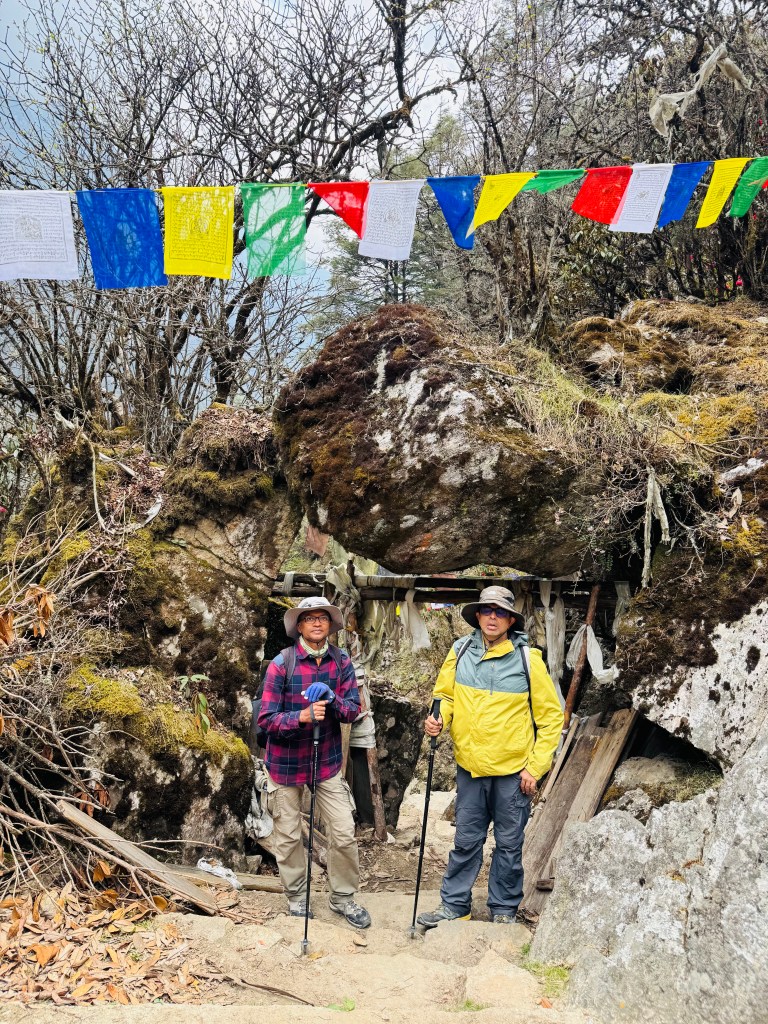
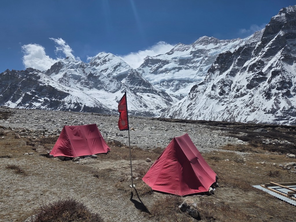
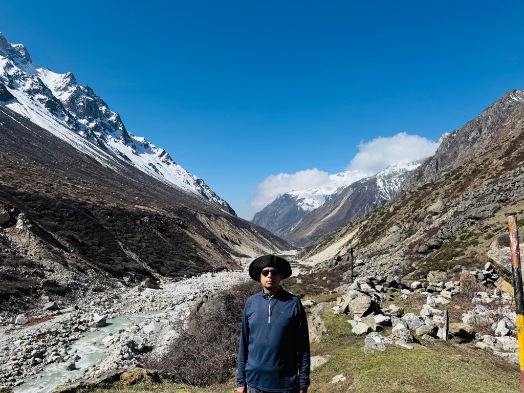
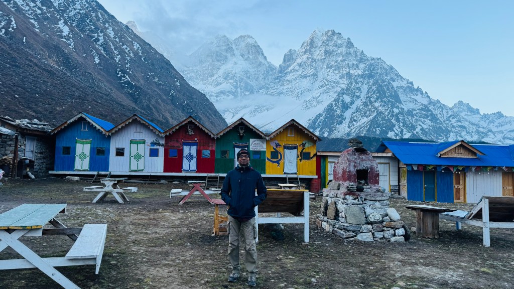
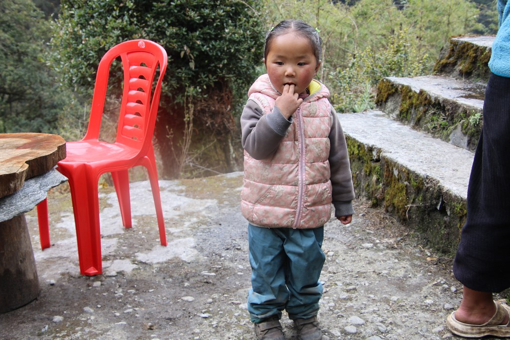
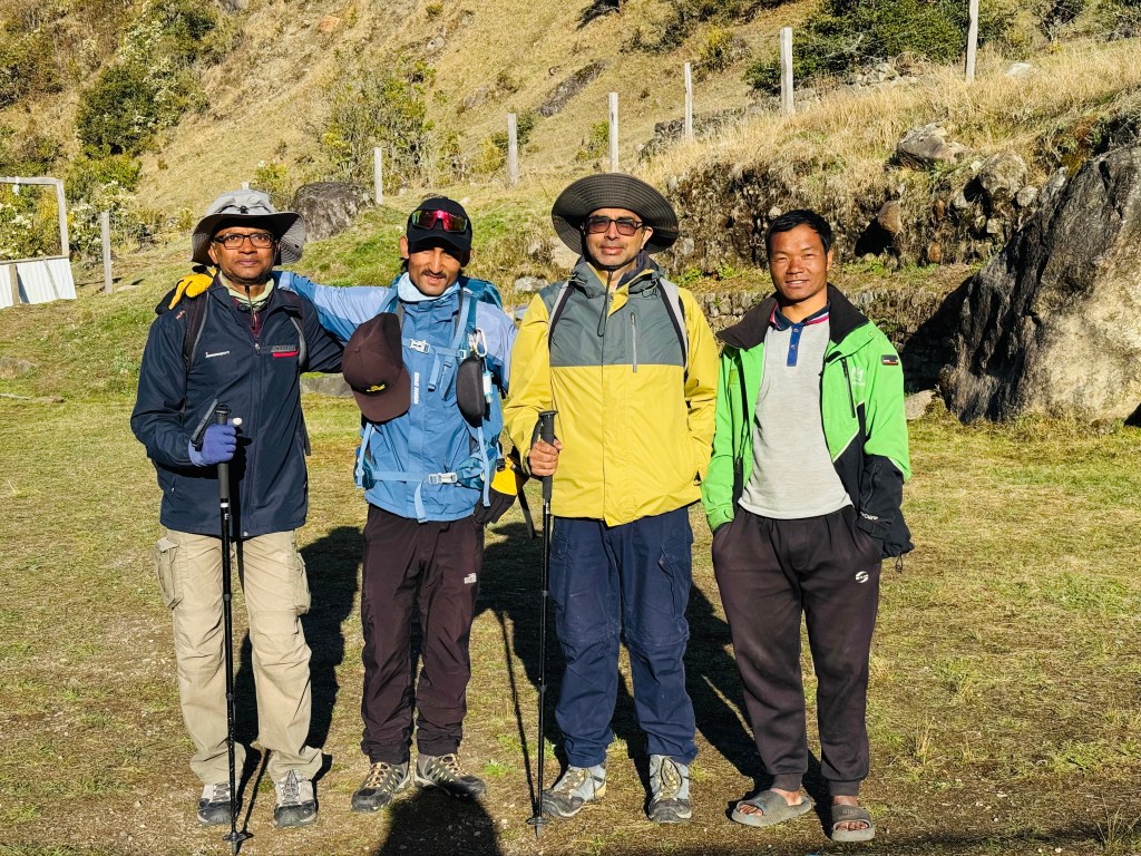
Not sure if it was the quality of the room or the effect of beer or maybe because of both, I slept through the night and woke up at 6 AM. There wasn’t any hurry. We were the only boarders at the hotel last night. The day’s destination was only till Itahari. The American set breakfast was excellent in its presentation, taste as well as food values. When we strapped our backpacks and moved out to the lawn, the sun was shining bright. I asked Sonam to pay our regards to her father and bade goodbye to Singhi Namjong.
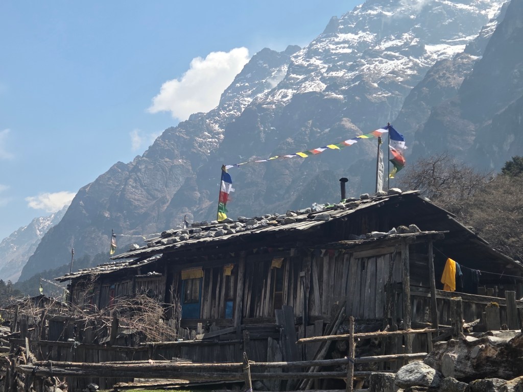
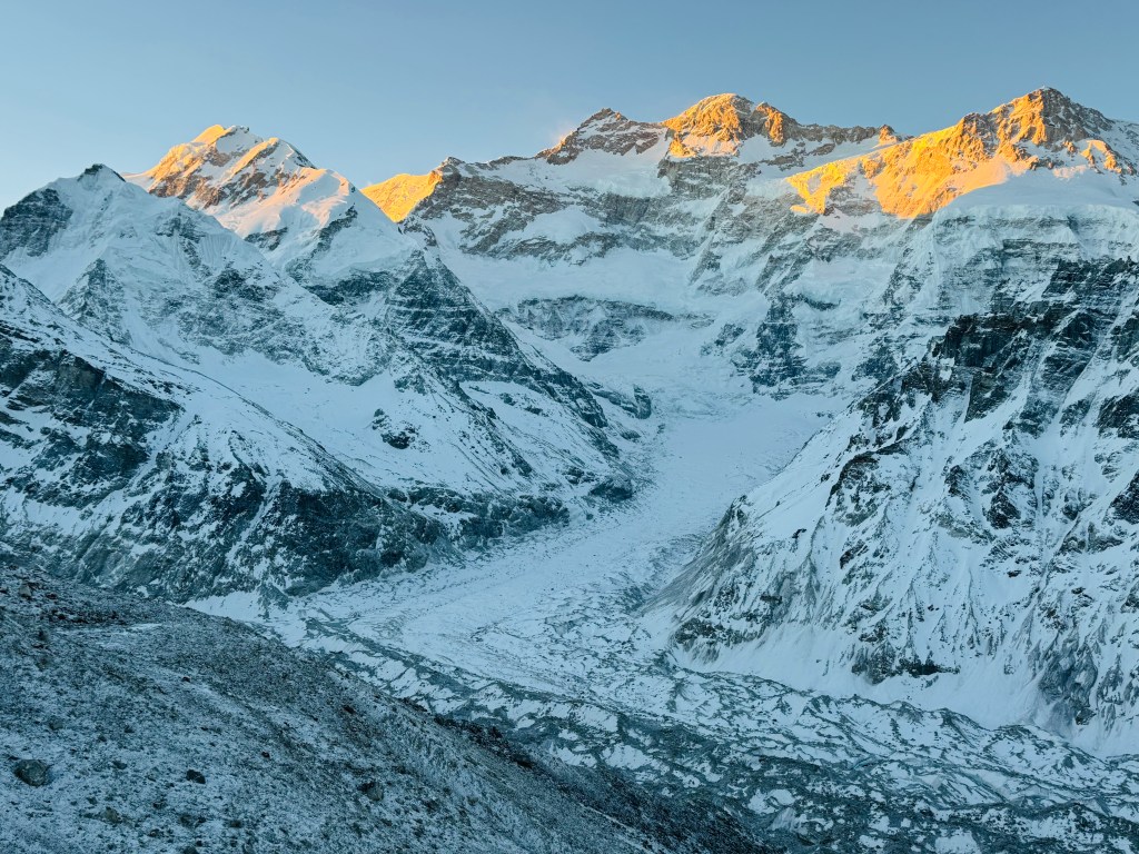
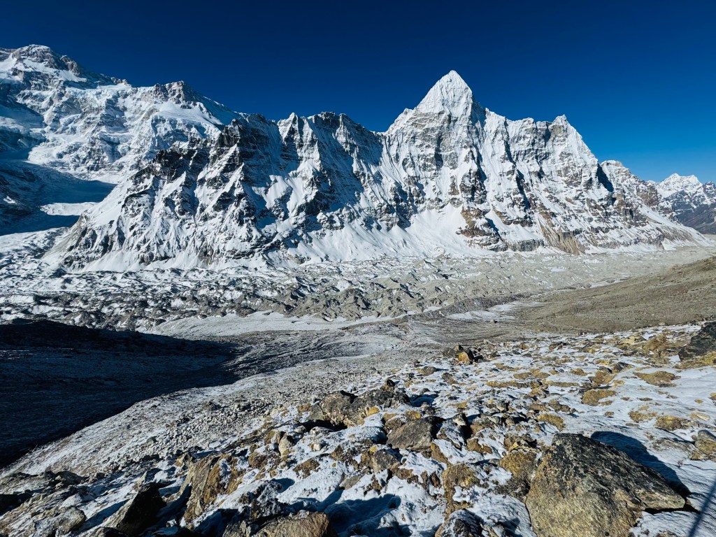
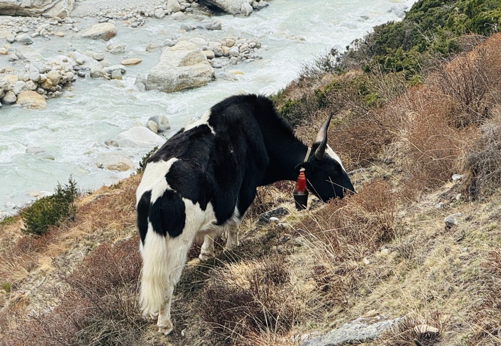
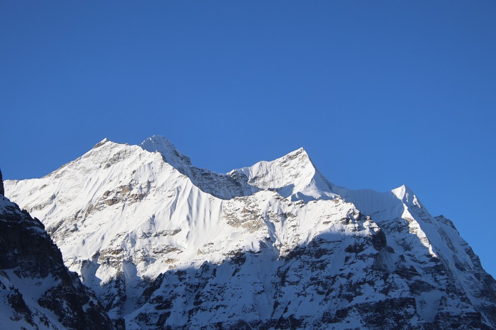
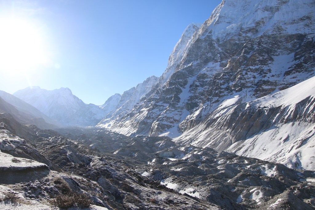
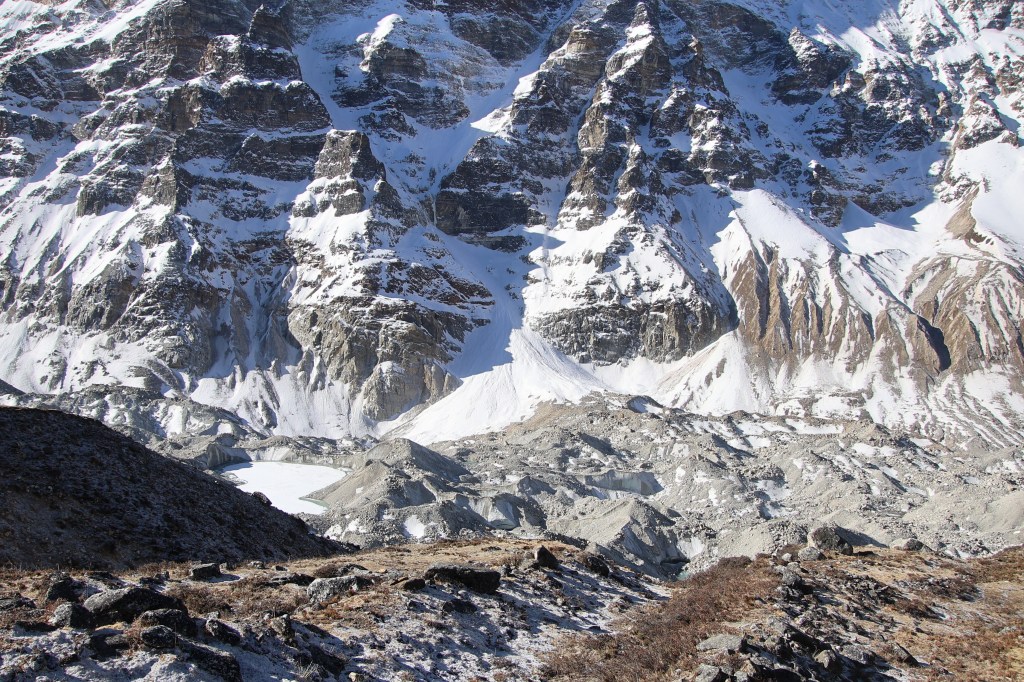
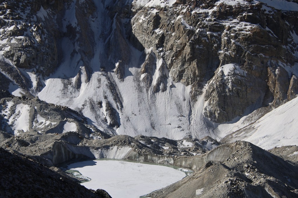
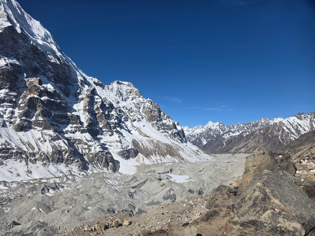
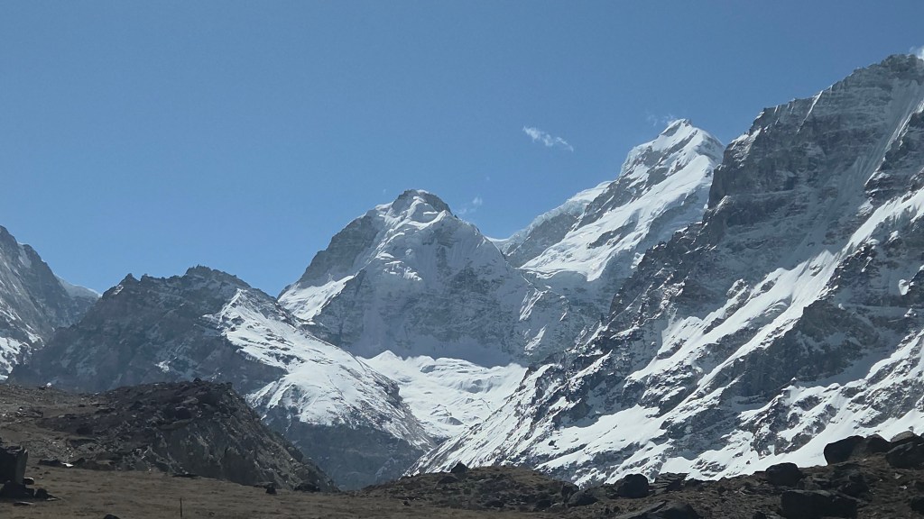
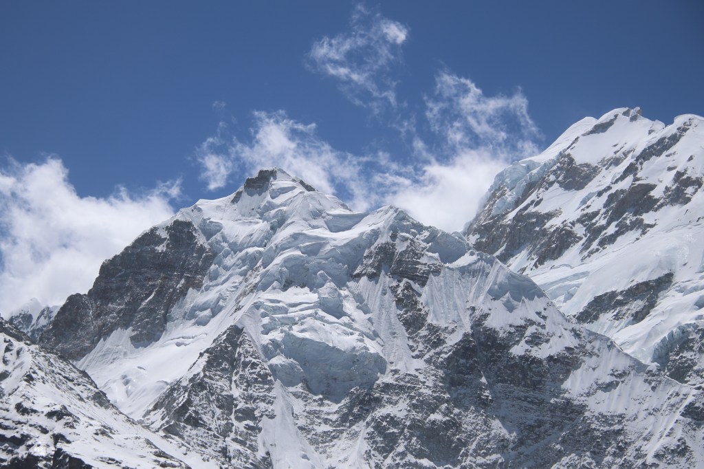
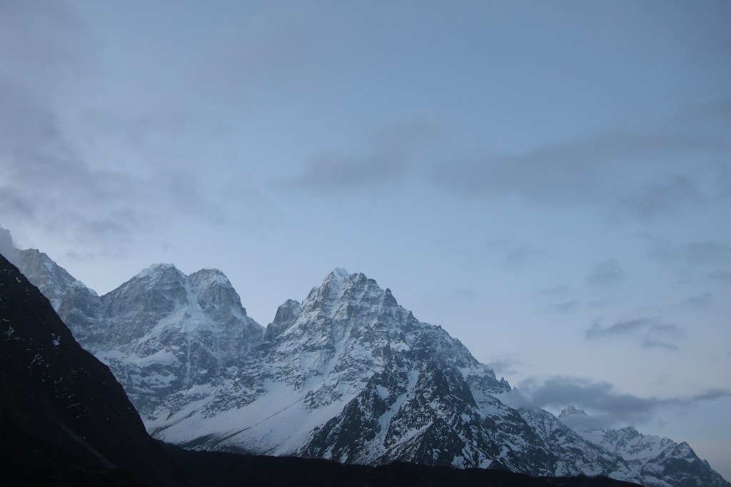
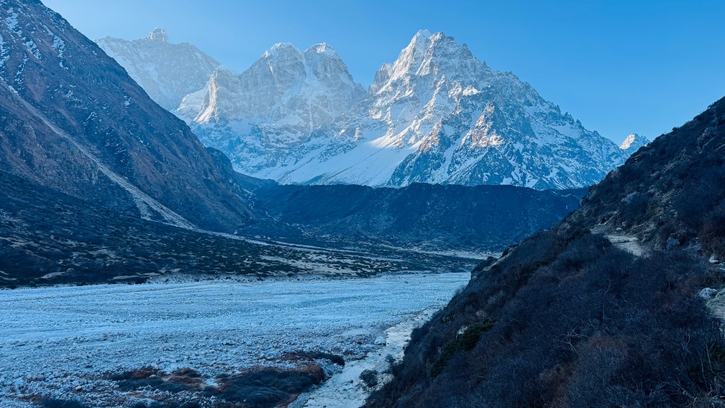
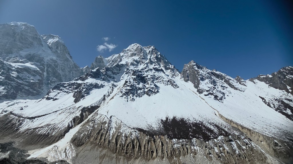
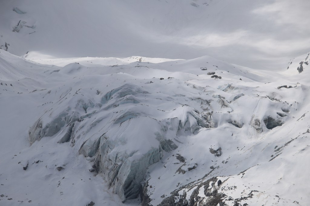
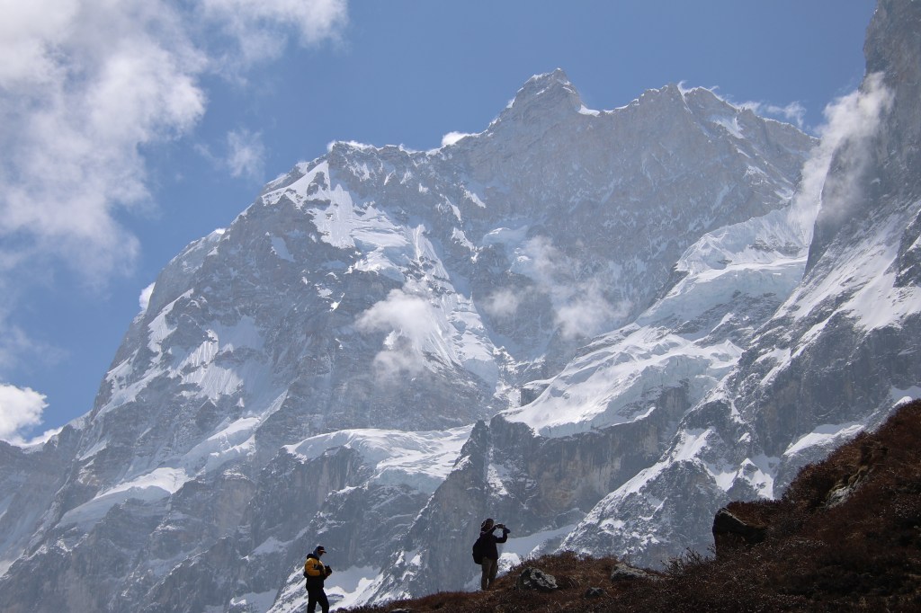
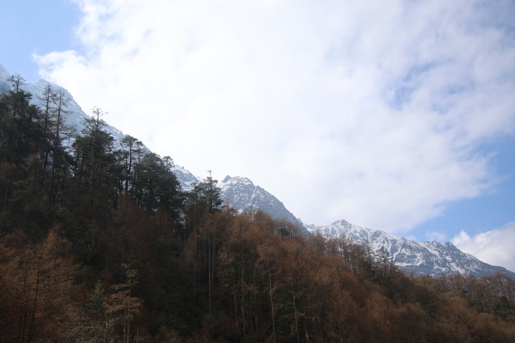
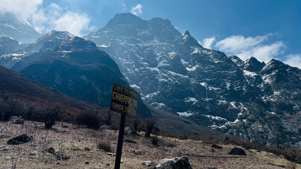
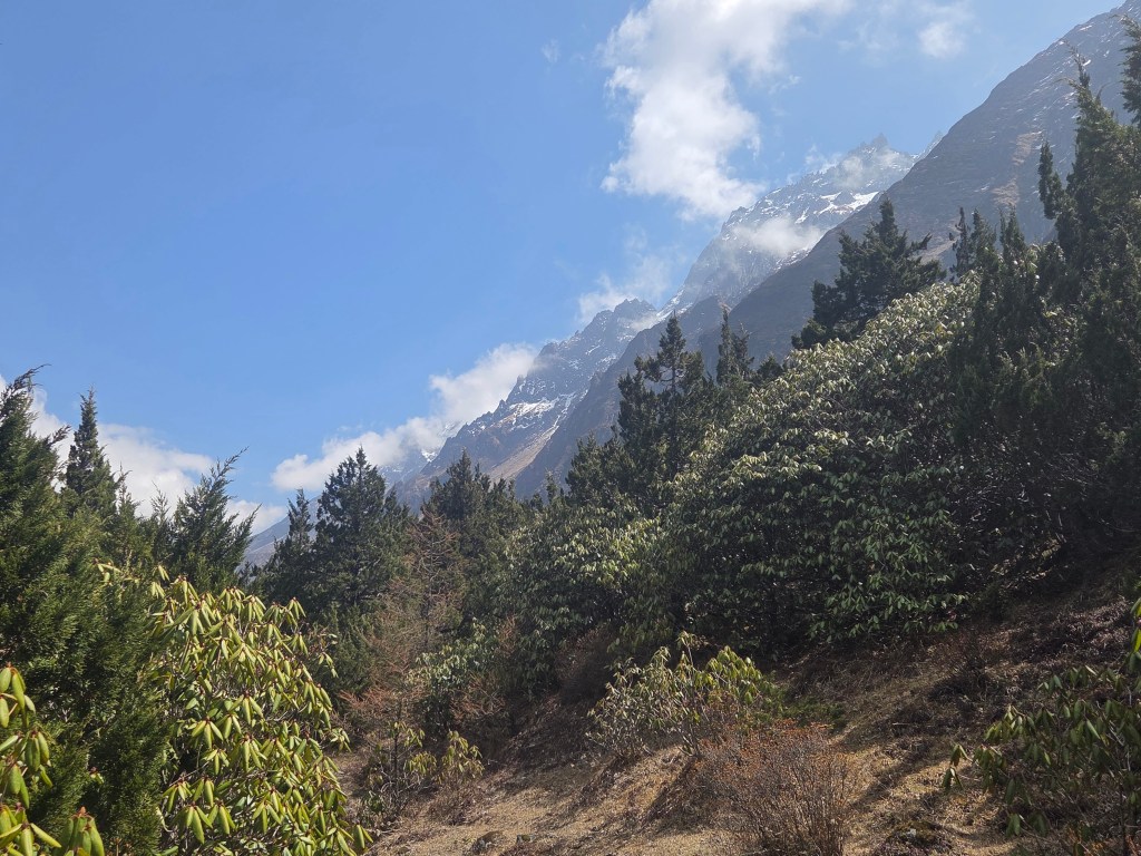
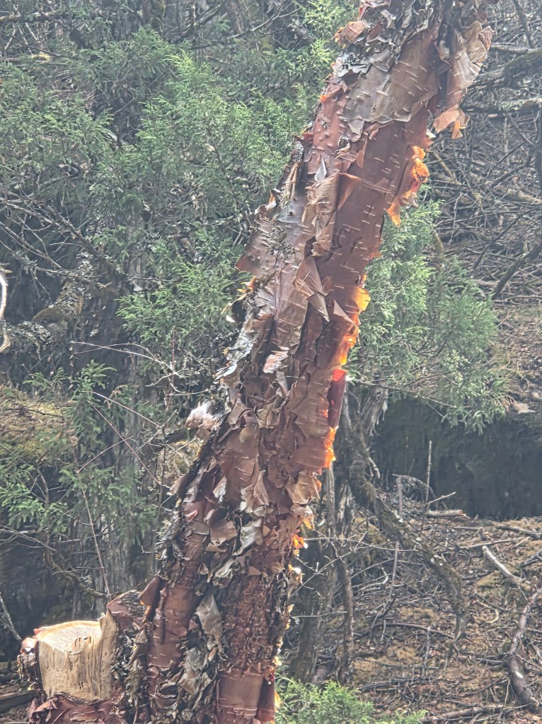
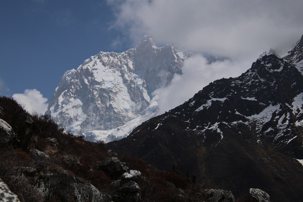
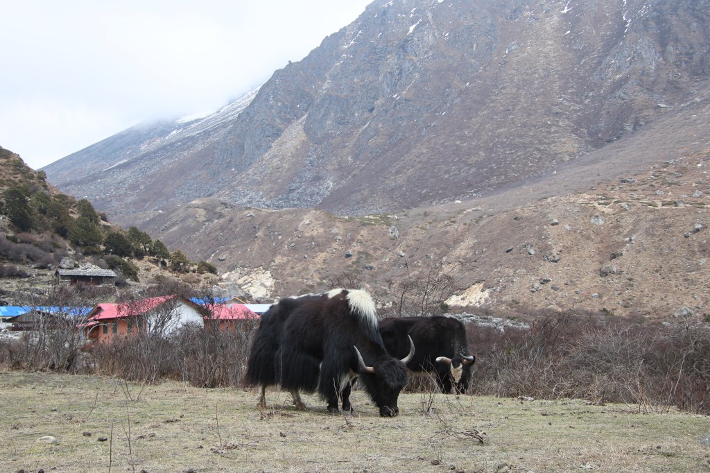
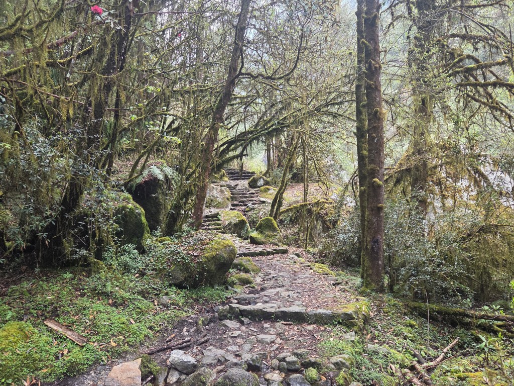
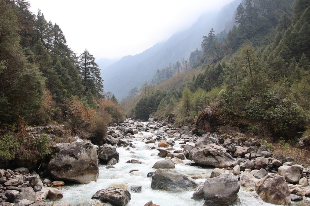
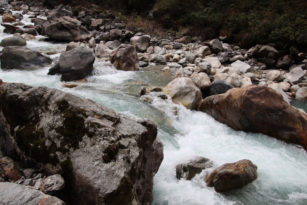
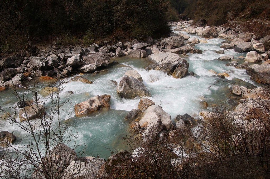
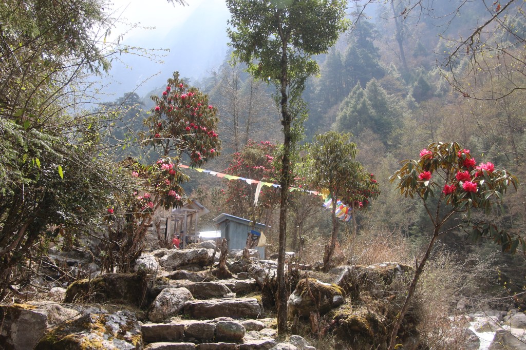
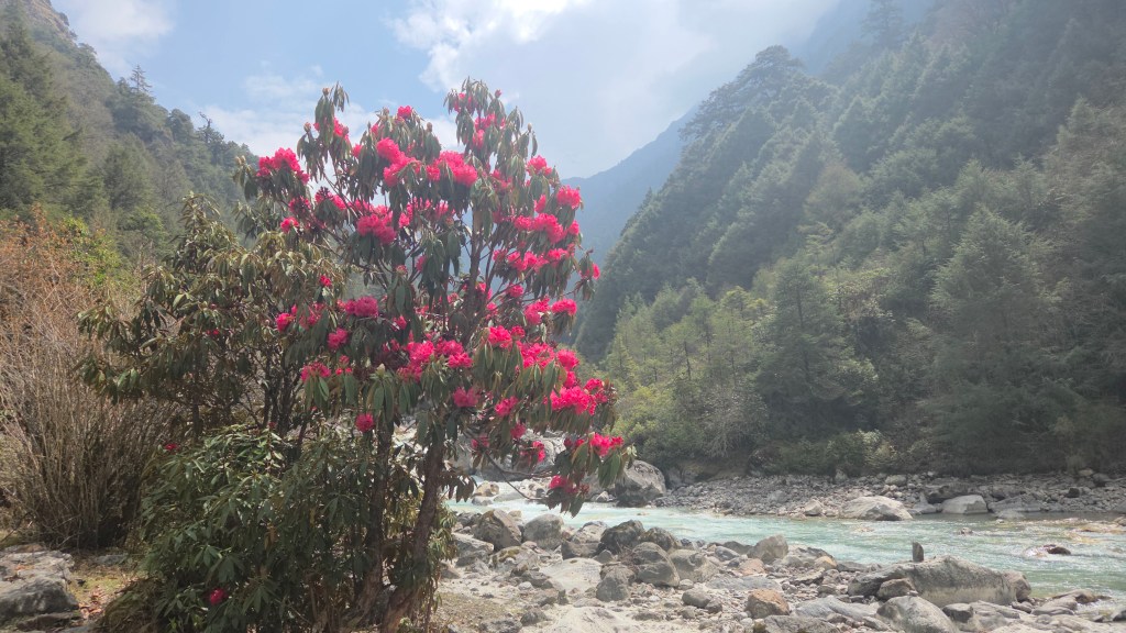
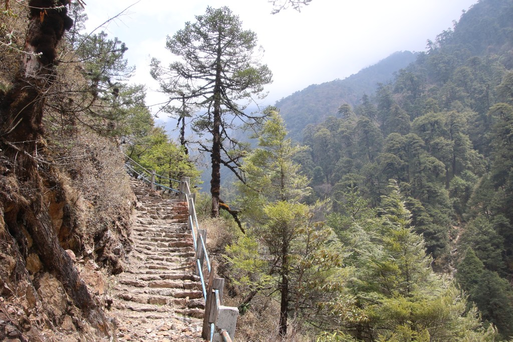
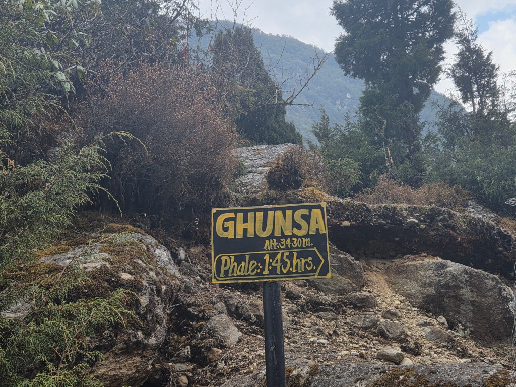
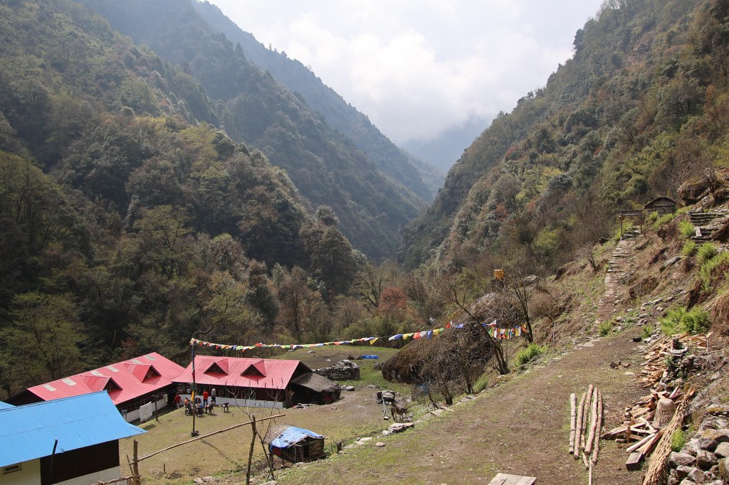
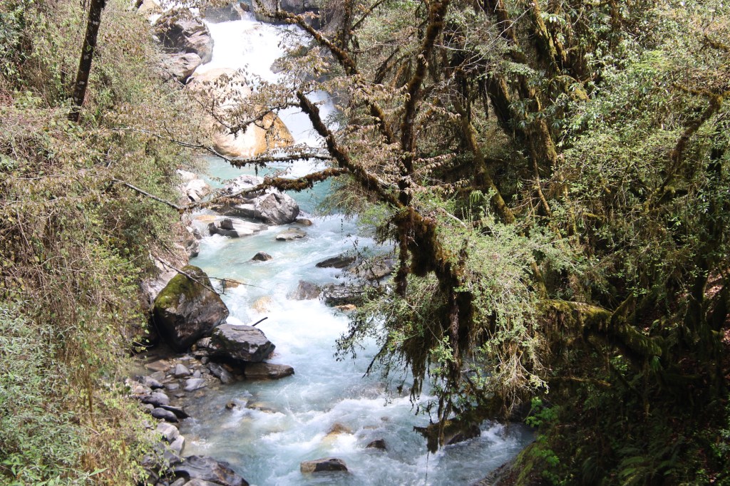
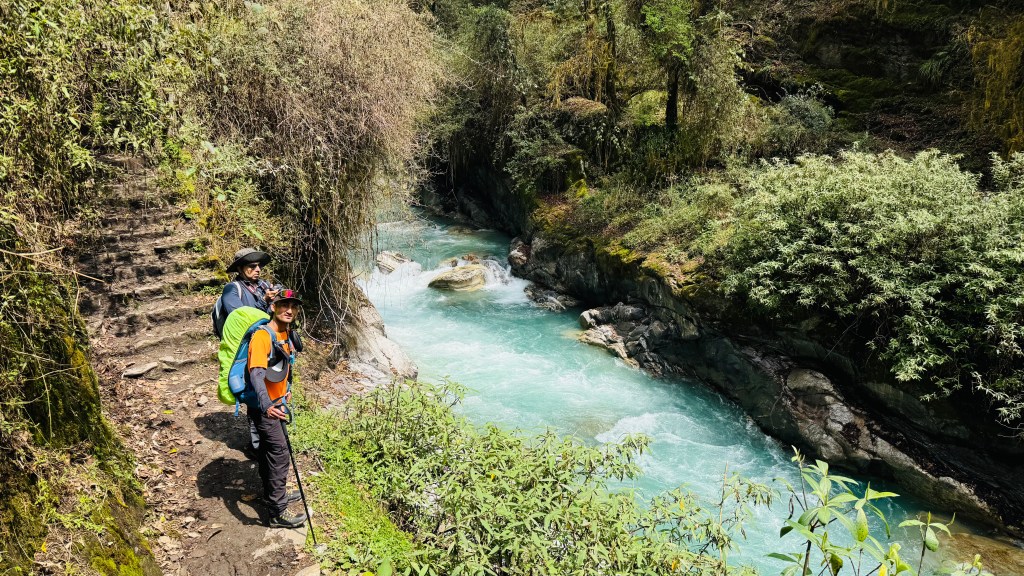
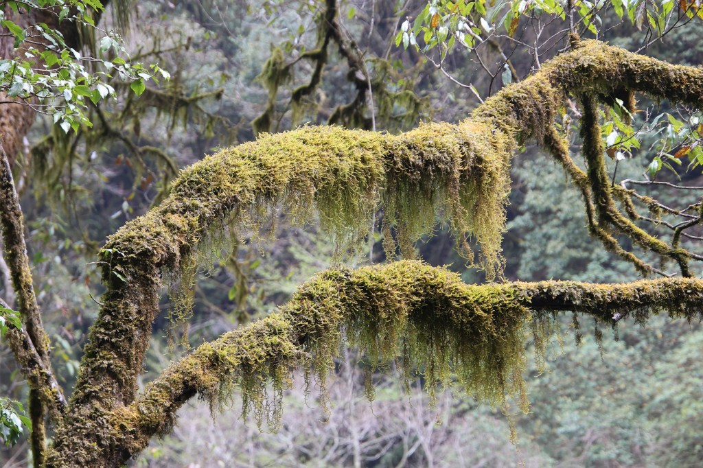
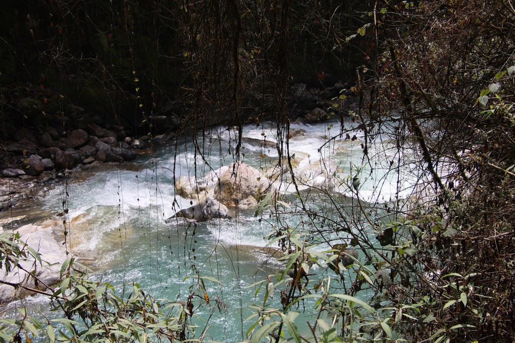
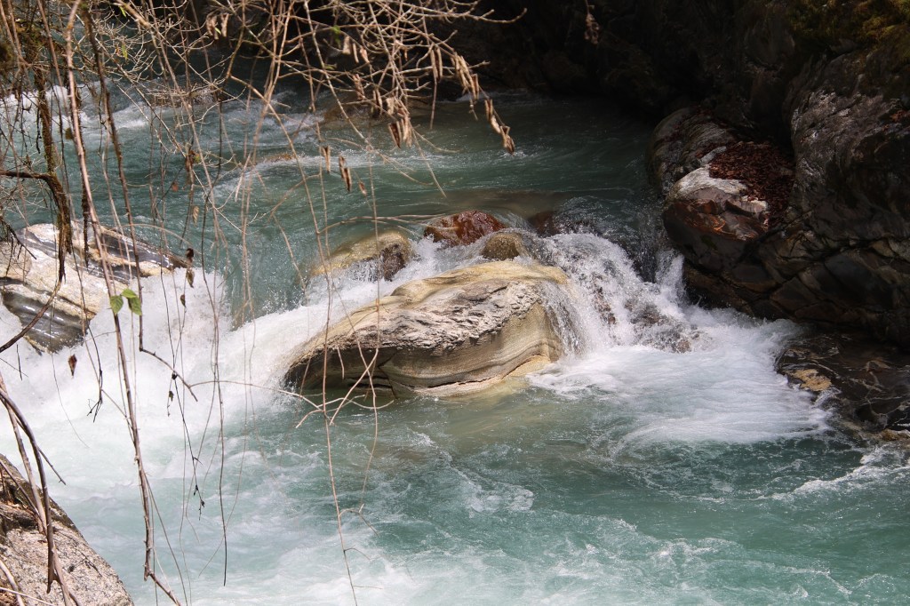
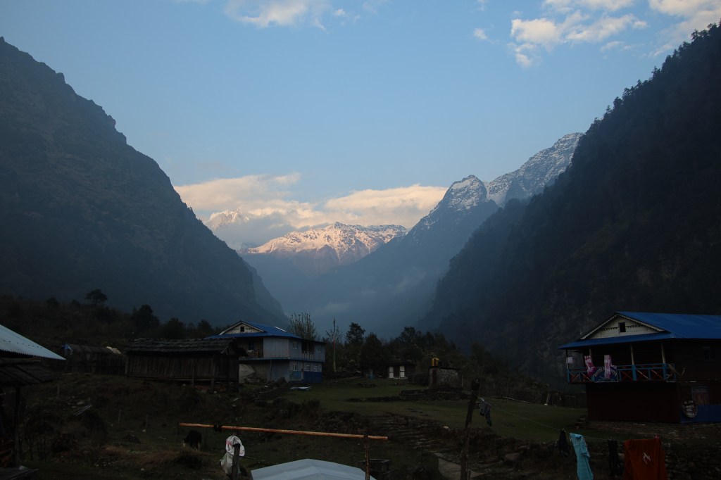
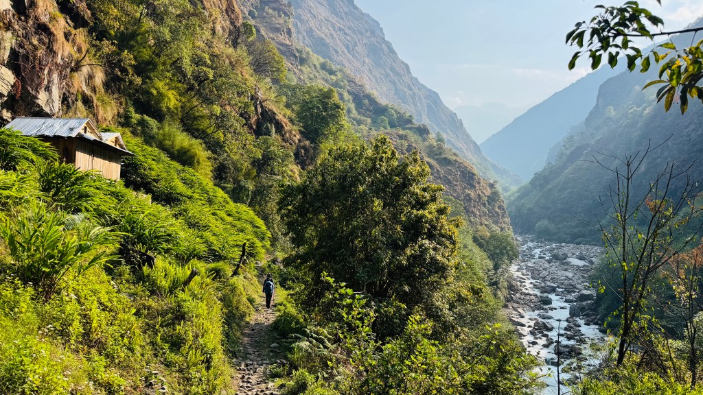
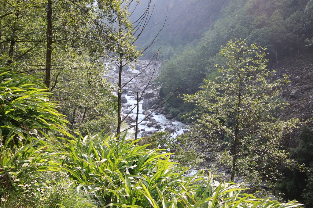
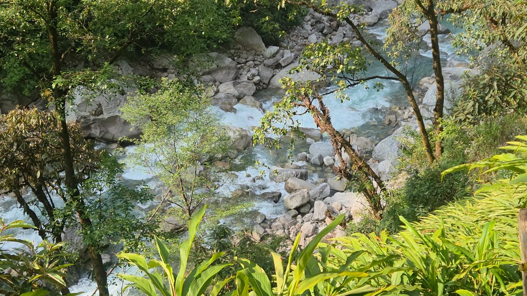
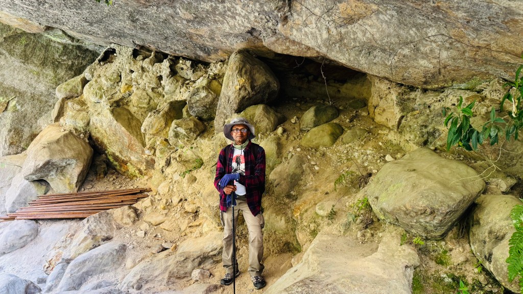
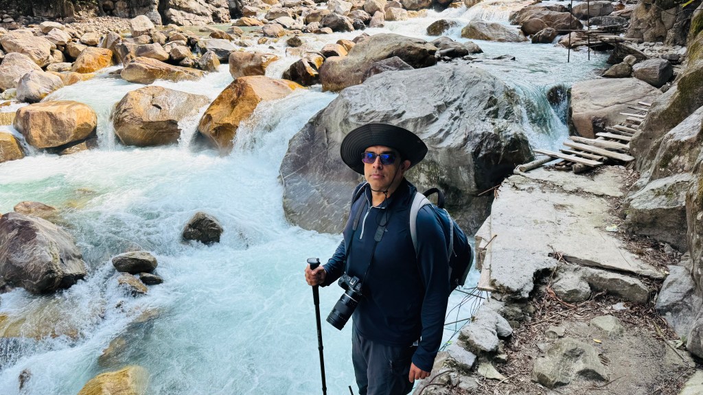
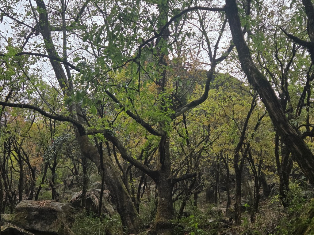
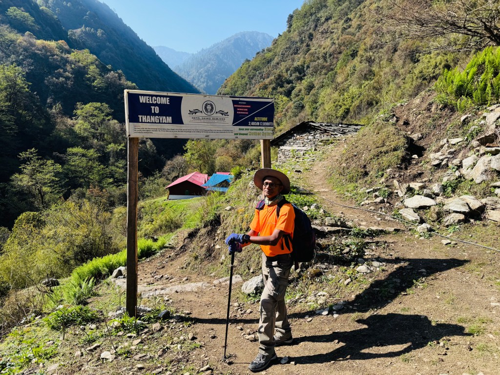
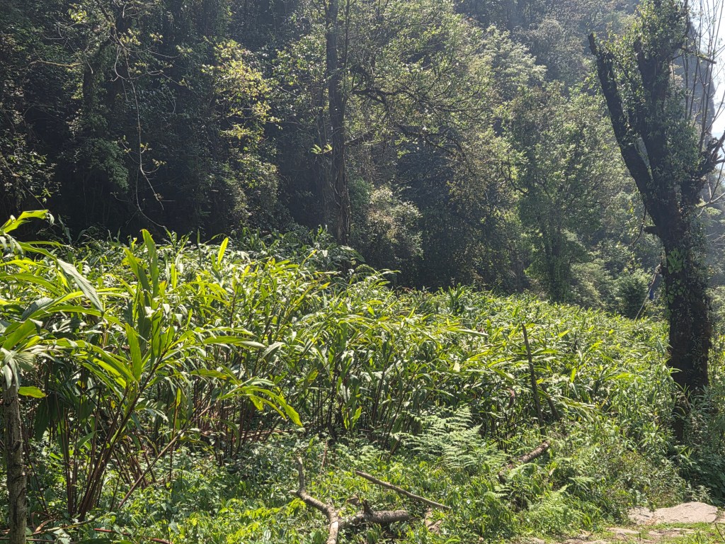
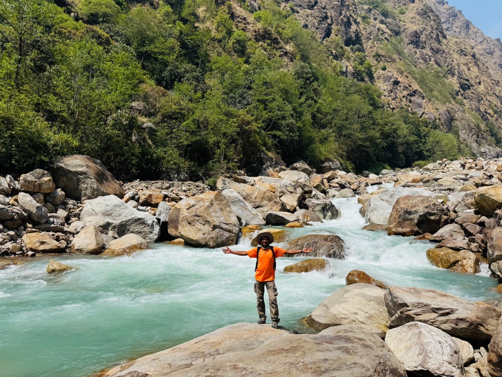
We tread the same path which brought us to Gyabla. The trail went through dense vegetation on level grounds for sometime and started descending. We had to take long steps to descend. A small stream of water trickled through them. The place was covered by forest canopy which caused less sunlight to reach. The moisture and shade were ripe for mosses to grow on the staircases. Though it put some stress on our knees, our lungs were spared. After a few turns, we emerged on the banks of the Ghunsa. Despite bright sunshine, the dense canopy of the forests prevented much of it. The Ghunsa roared along. The stream was much clearer than what we saw in the upper reaches. It was now running over a bed of stable rocks and not on pebbles and debris that mixes with the stream when a river emerges from the snout of a glacier. We reached Thangyam. Its lodges bathed in bright sunshine. Just as we passed by, someone called us out from the valley. He was the staff from Singhi Namjong who hailed from Darjeeling. They had another property at Thangyam and he was there, helping the boarders.
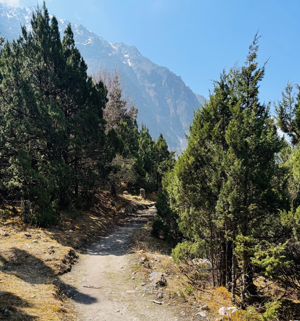
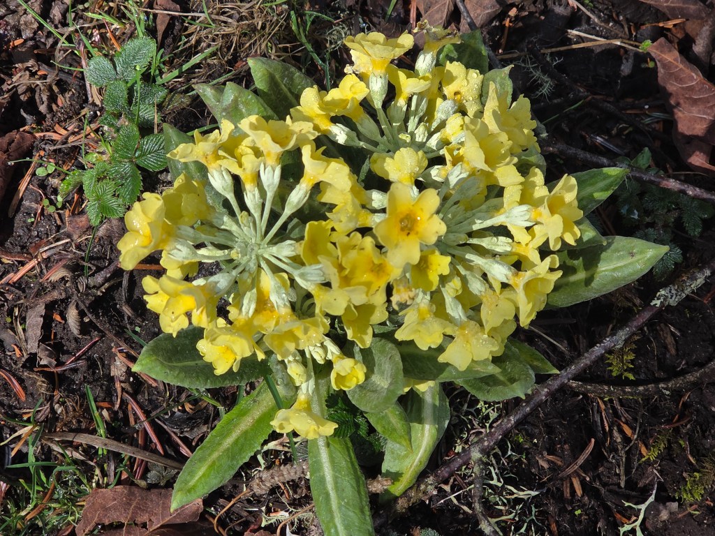
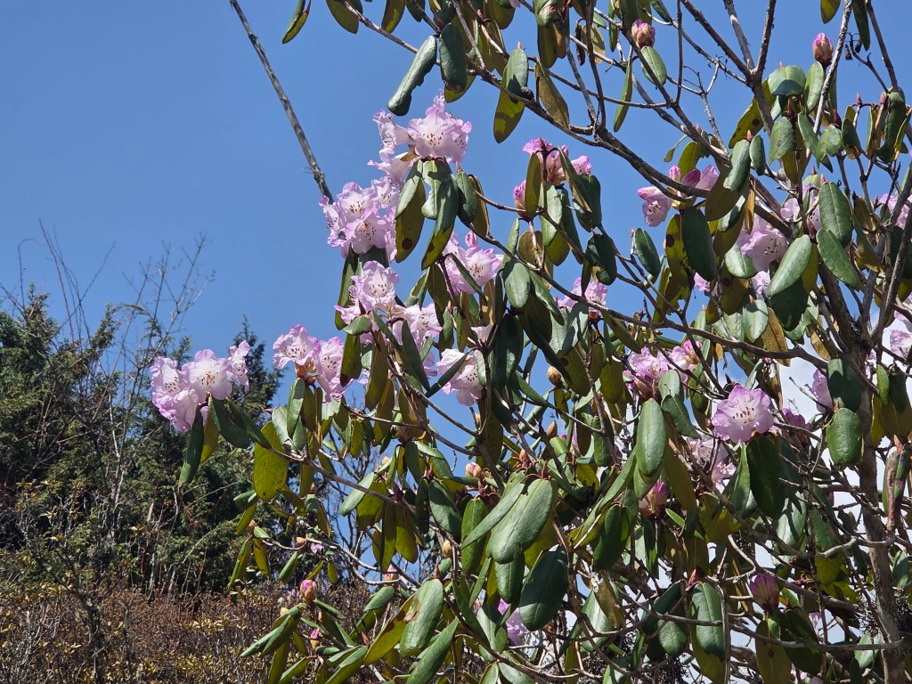
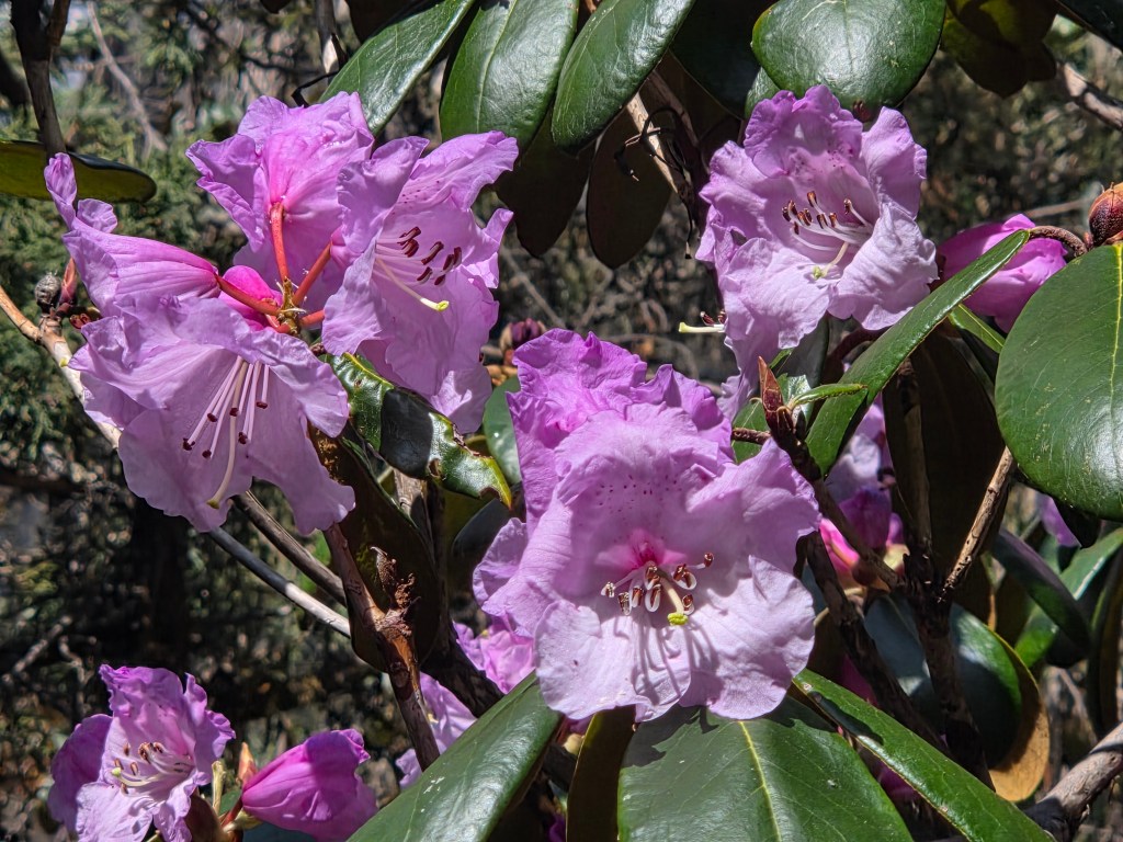
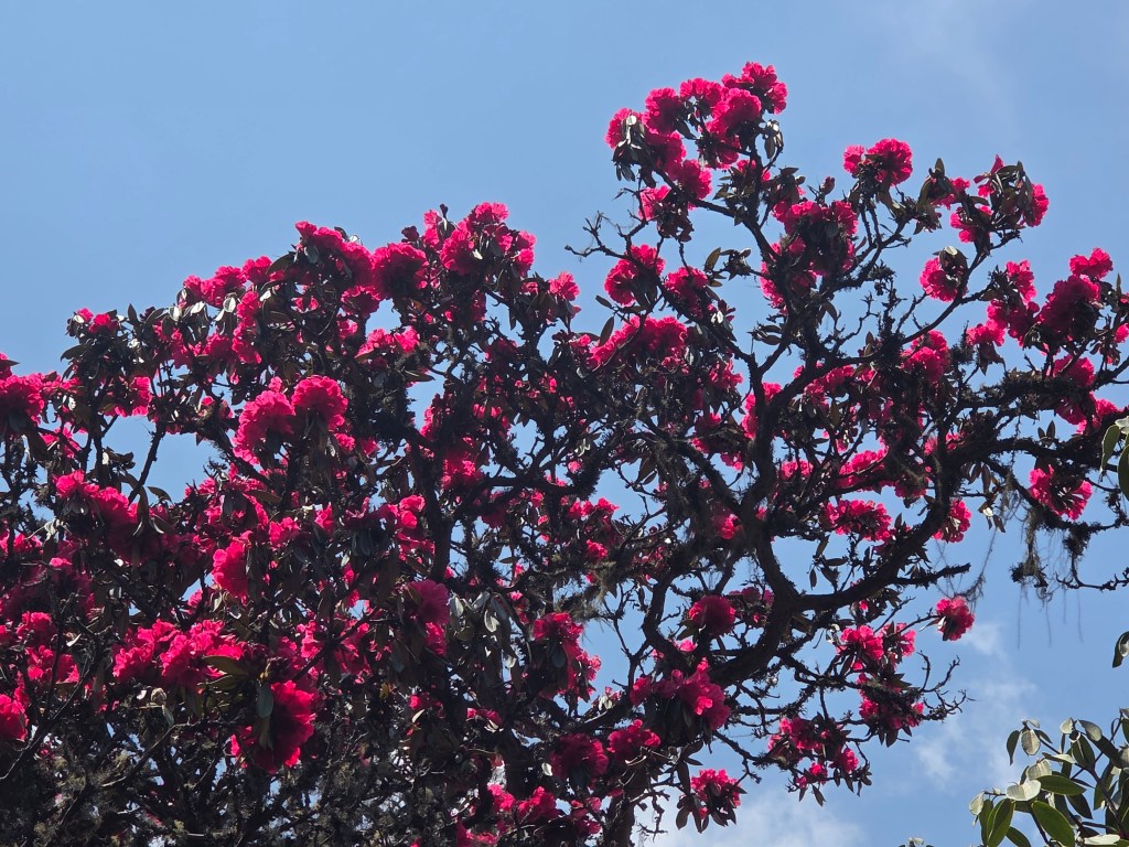
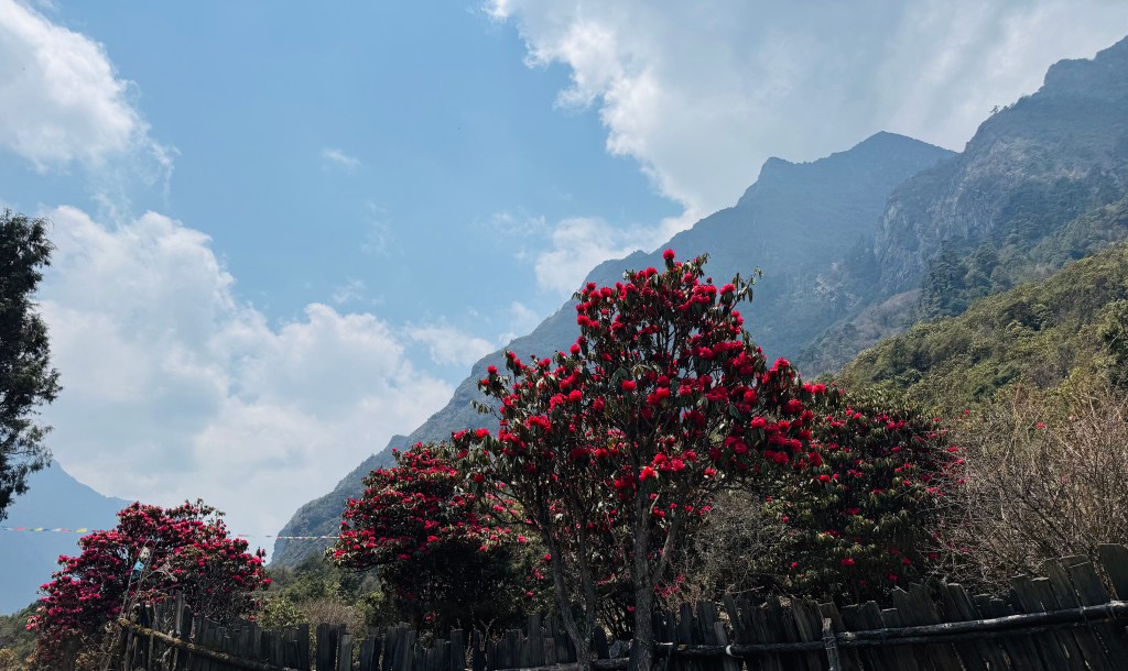
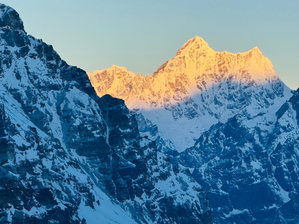
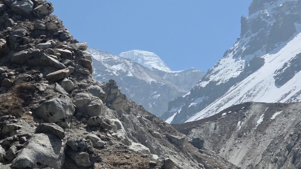
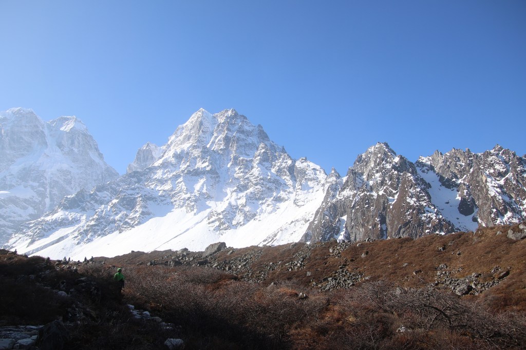
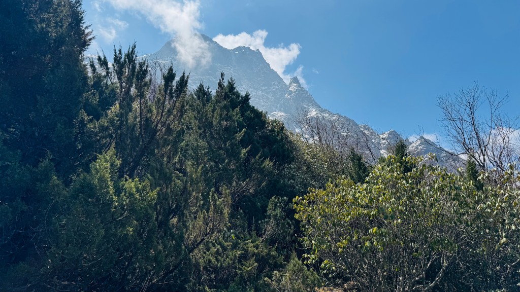
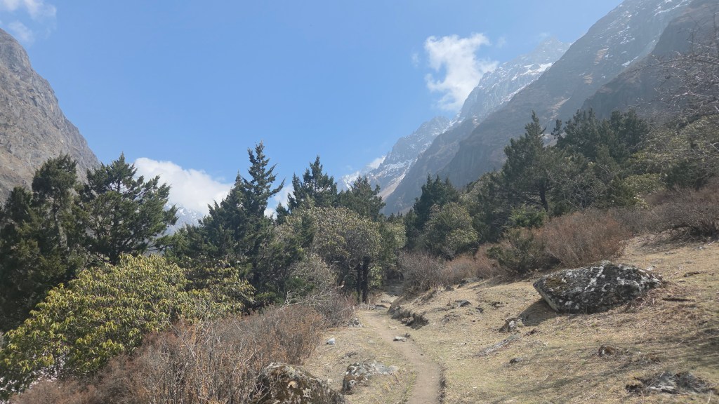
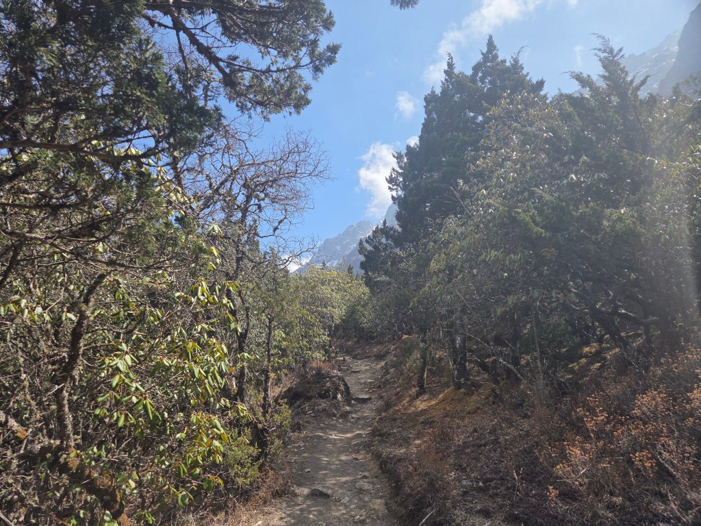
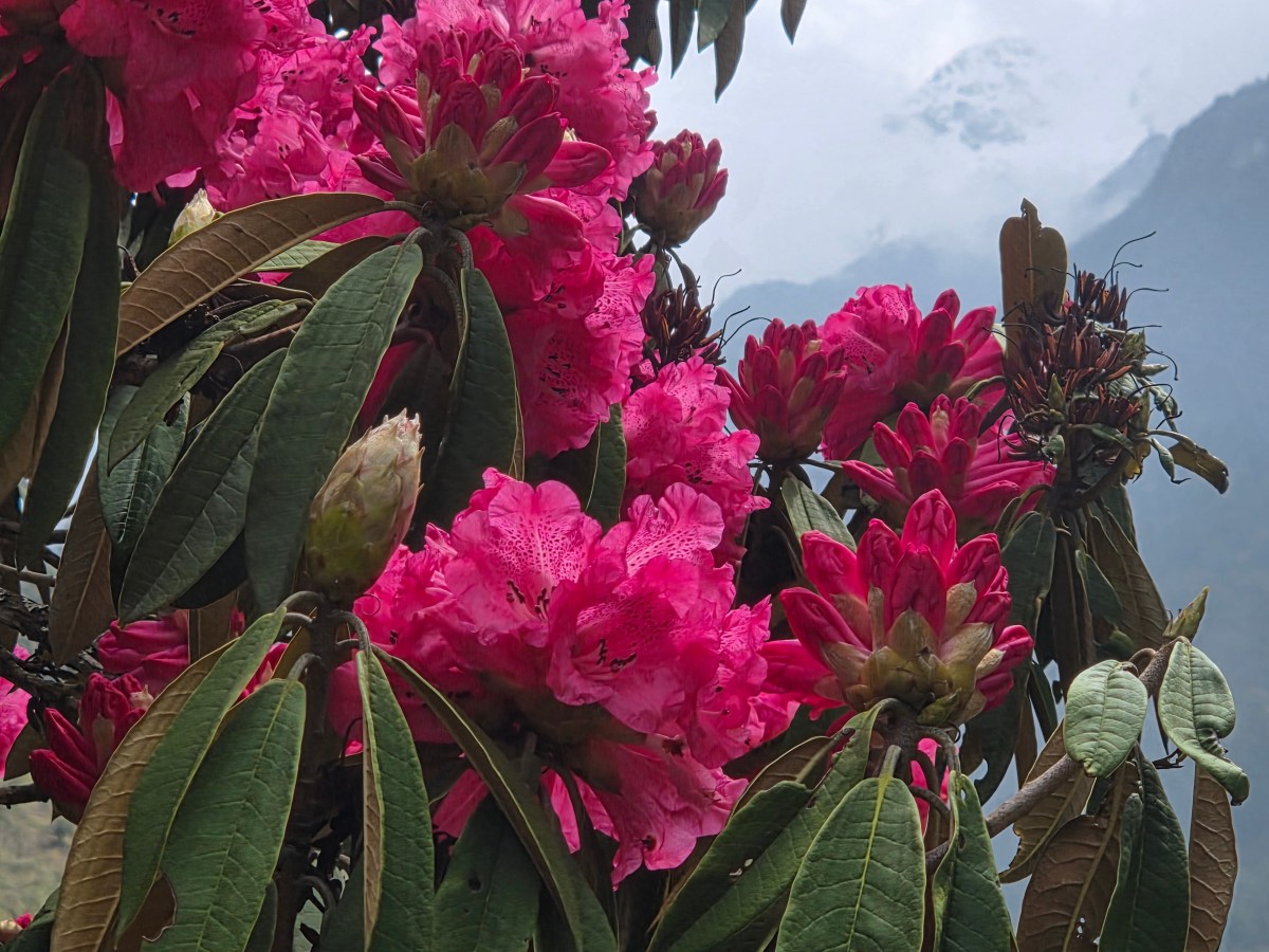
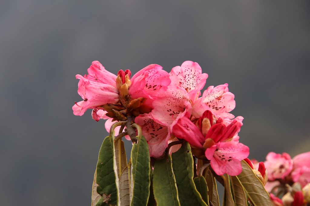
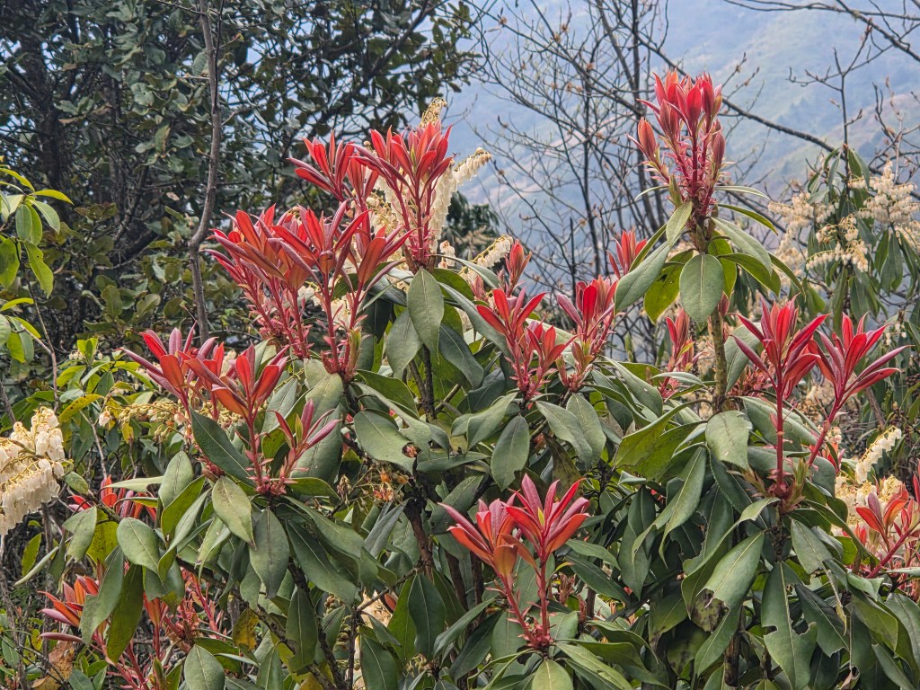
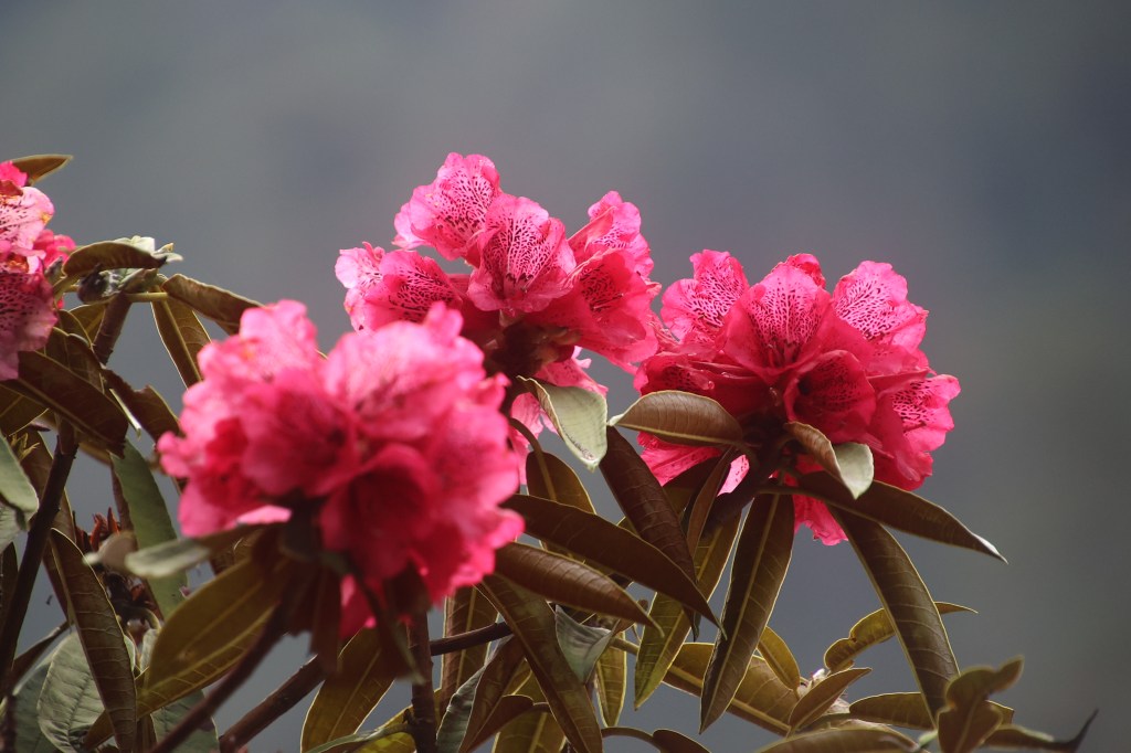
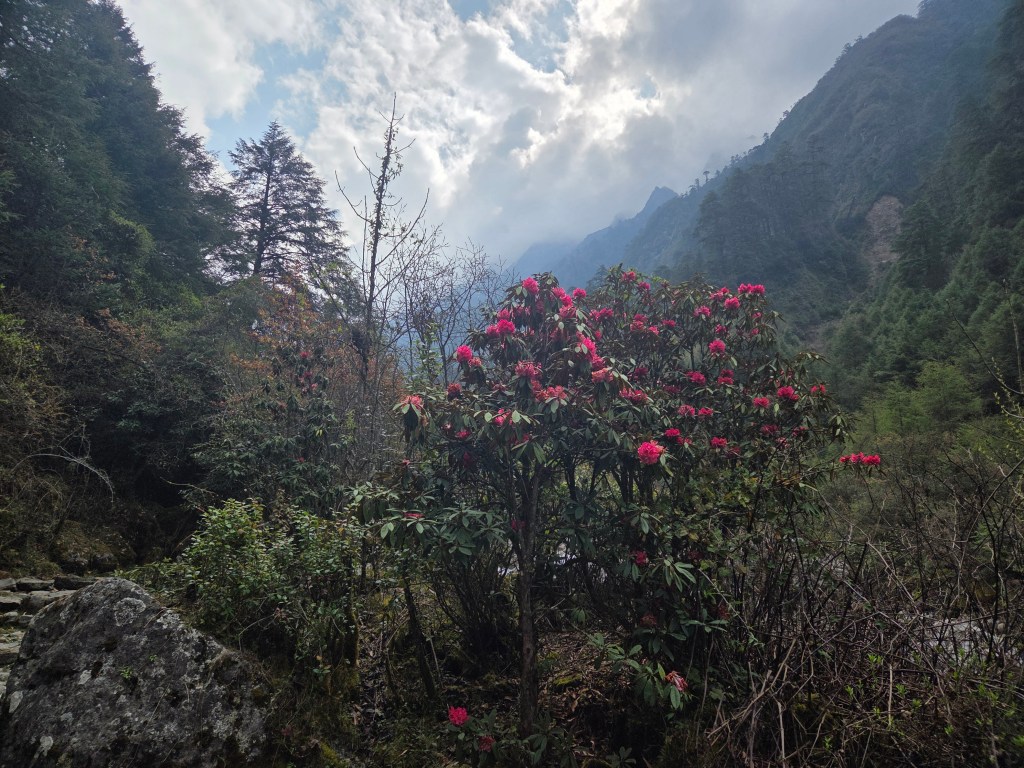
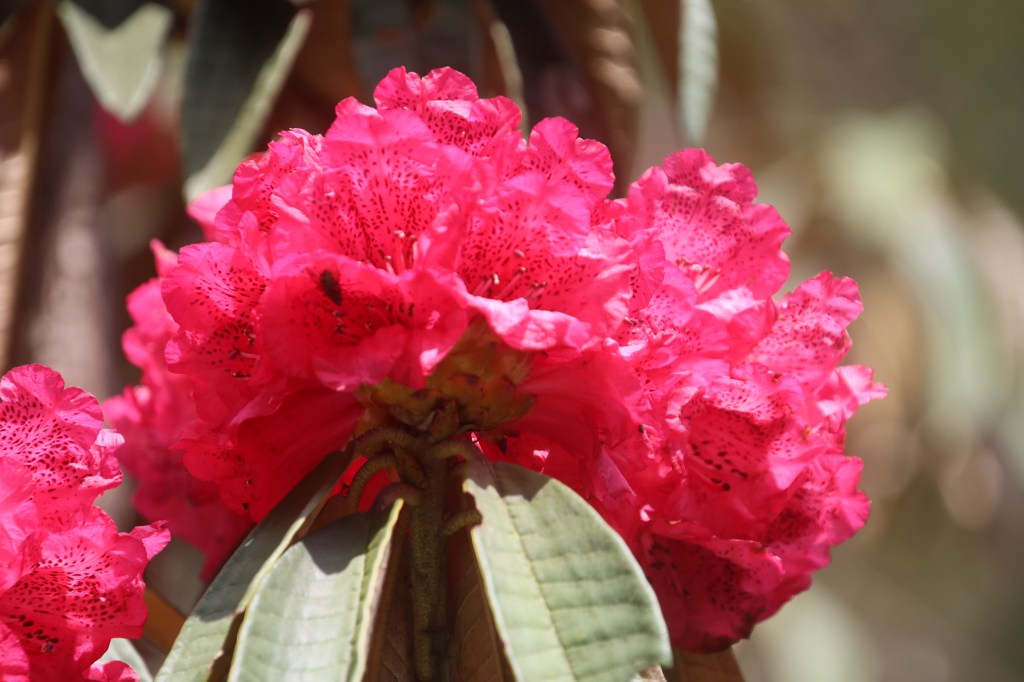
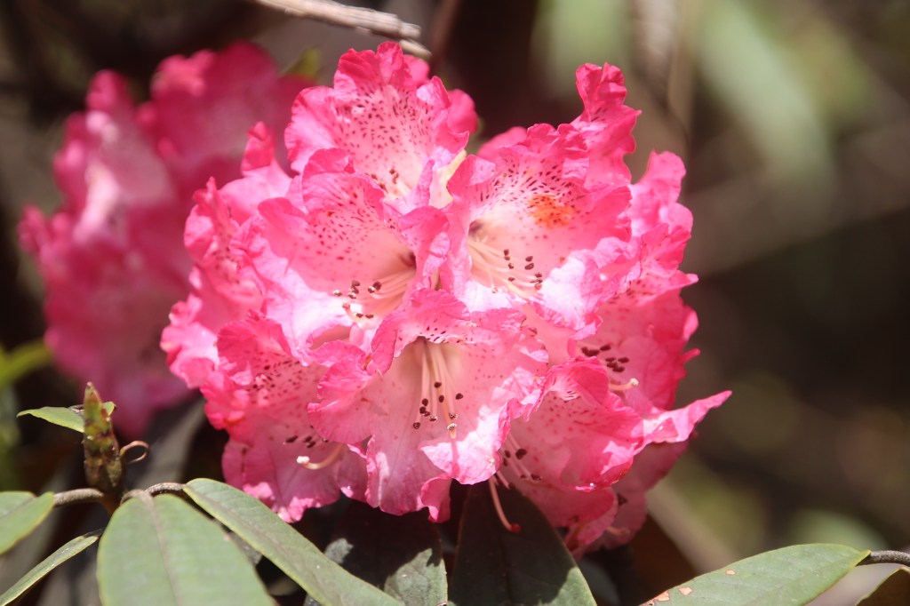
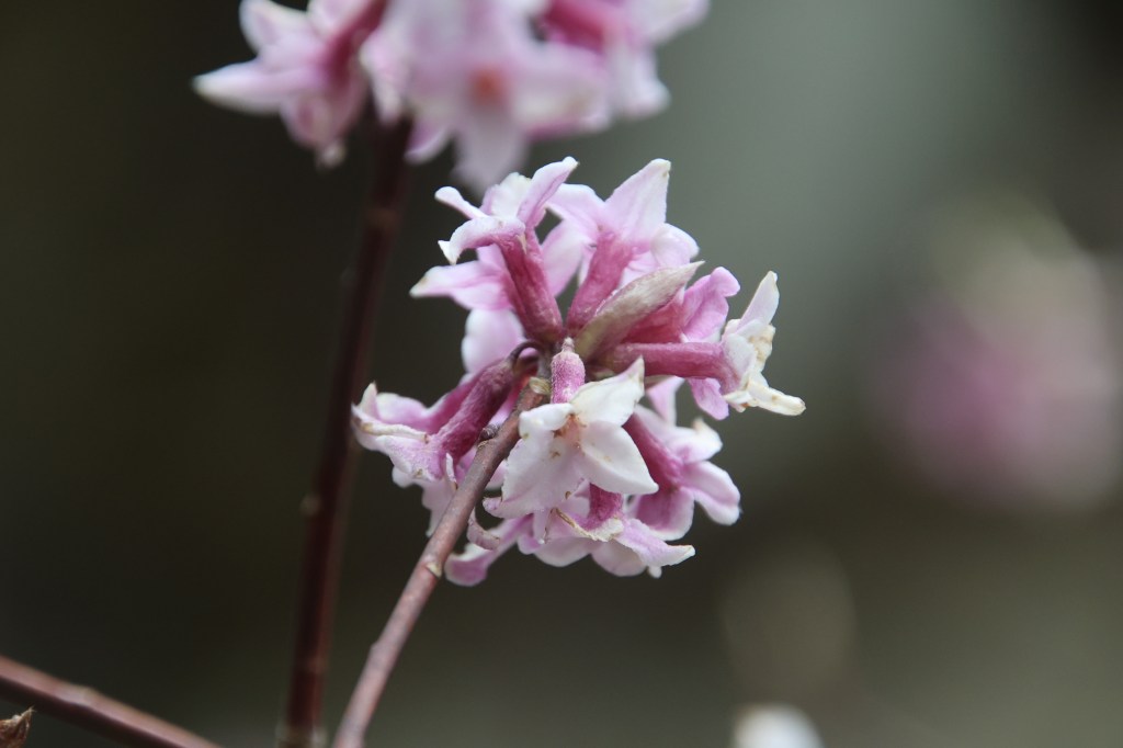
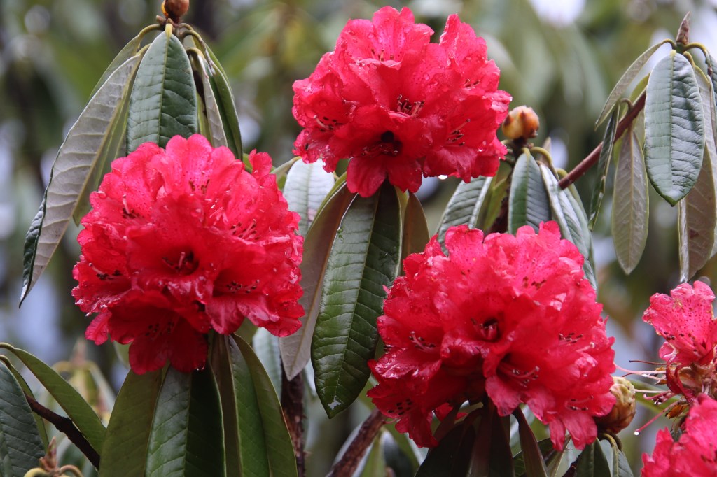
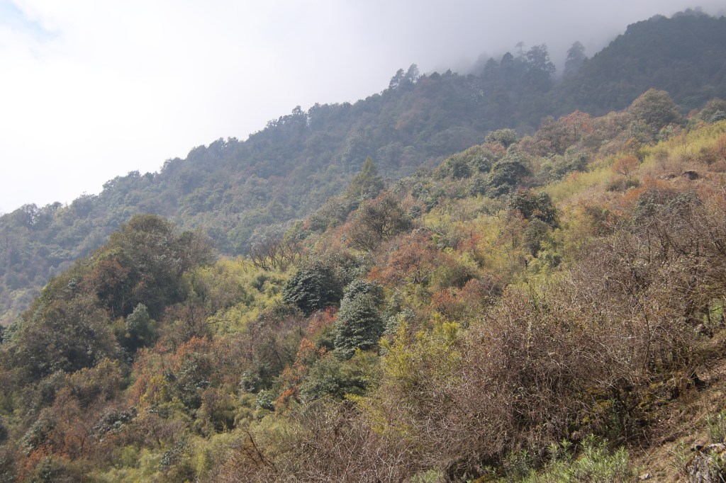
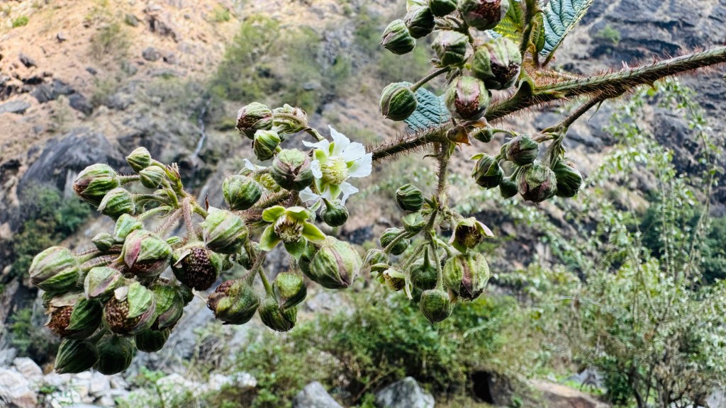
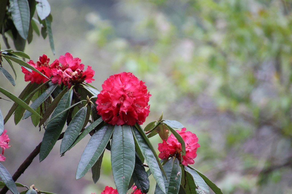
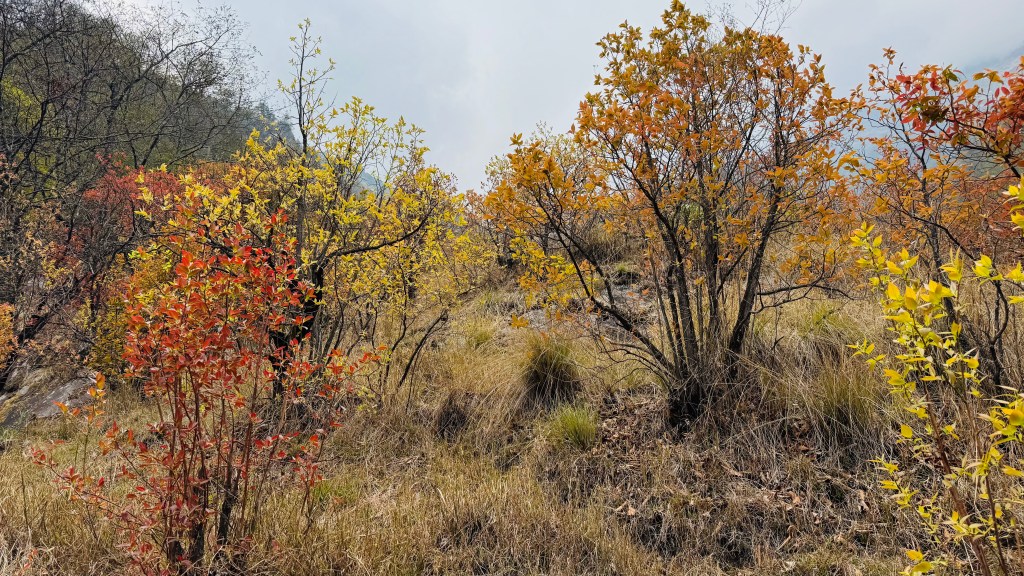
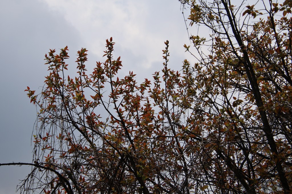
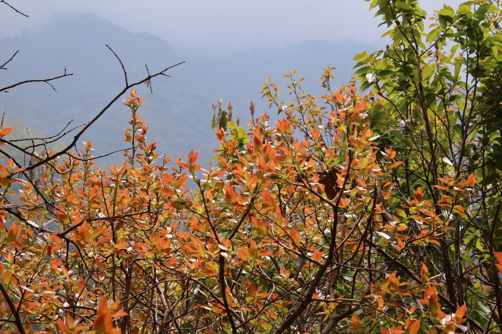
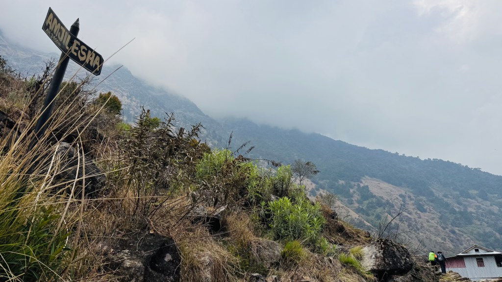
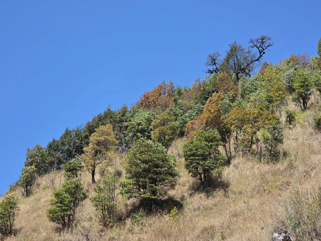
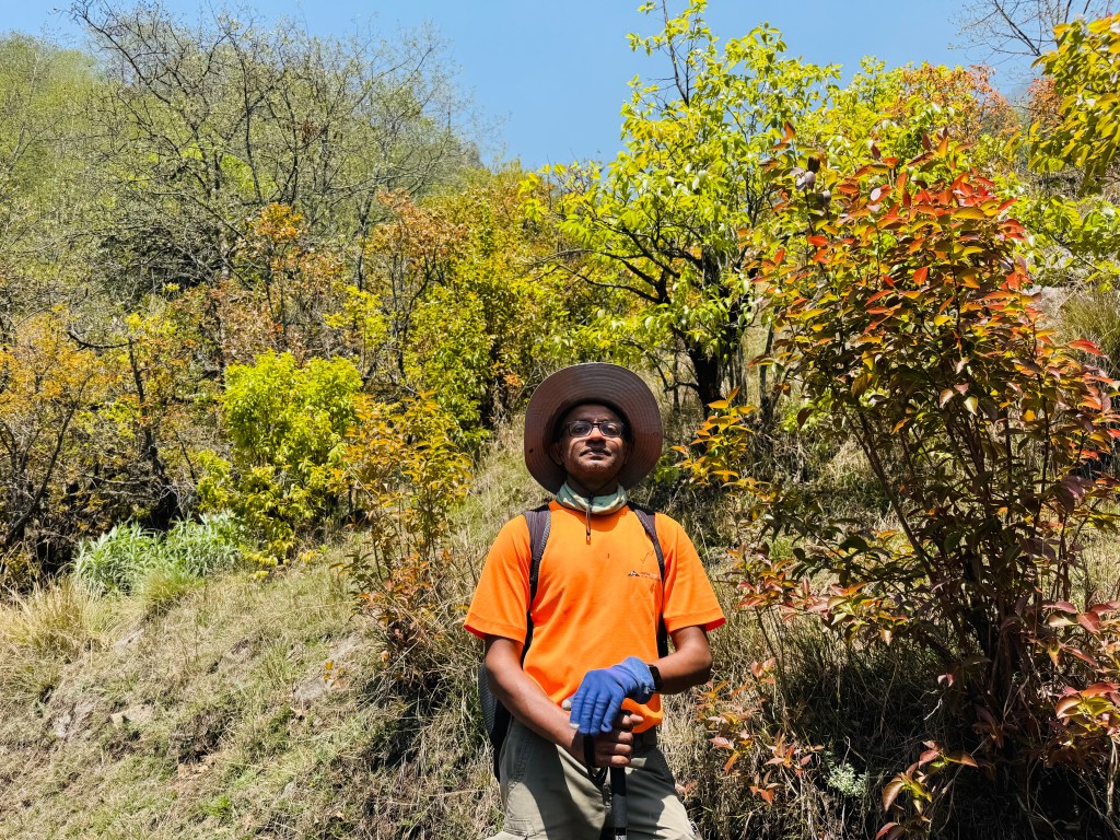
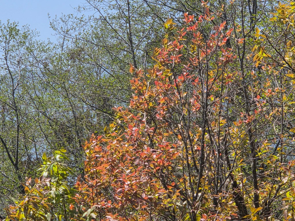
We went along and after Thangyam, the trail moved up again. The colorful foliage re-appeared. This uphill walk would lead us to Amjilosa. We spent significant time taking photographs and videos on this part of the trail. The bright sunshine amplified the colors. That made the forests appear more beautiful than what we witnessed on our way up. After hiking for sometime, the incline became adulating and we entered the open section of the ridge. The trees on this section reduced significantly and the slopes were covered with grasses. The flowing breeze caused ripples through the grassland.

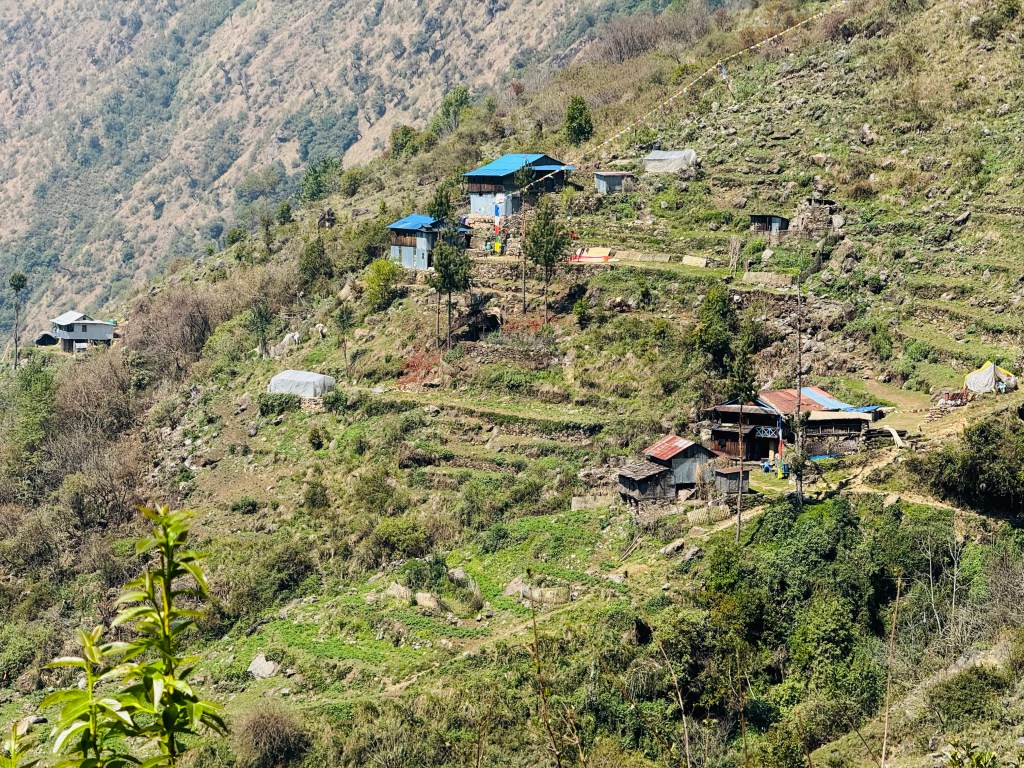

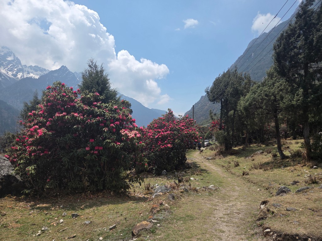
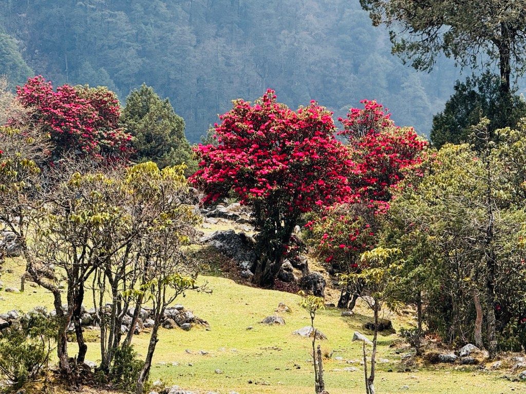
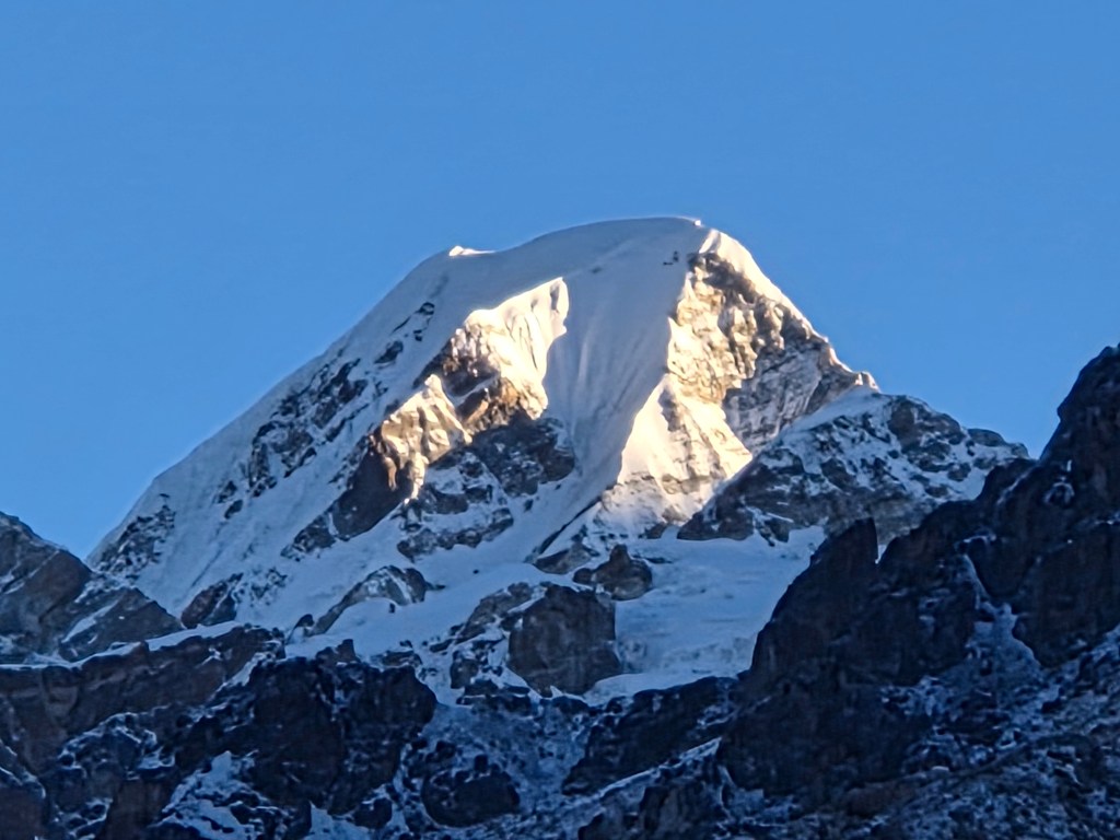
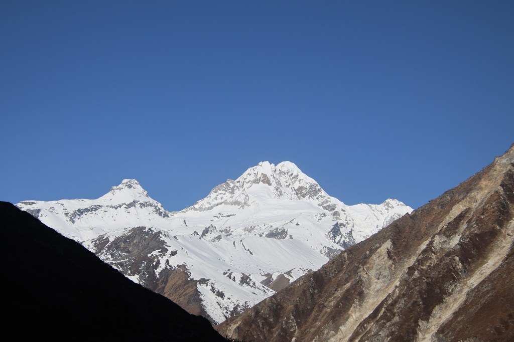
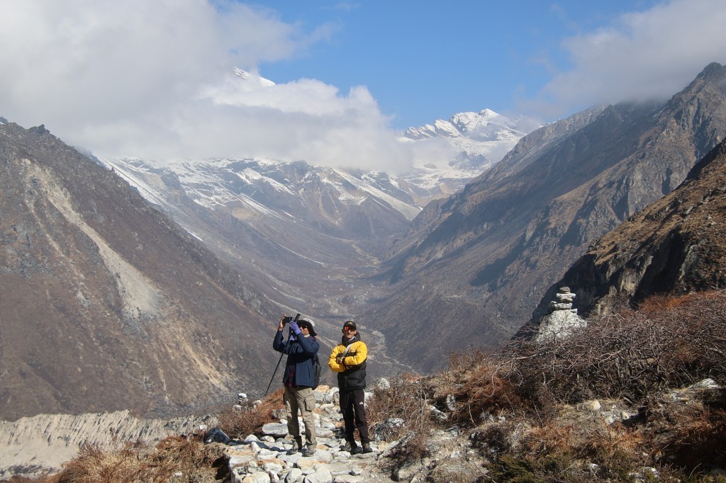
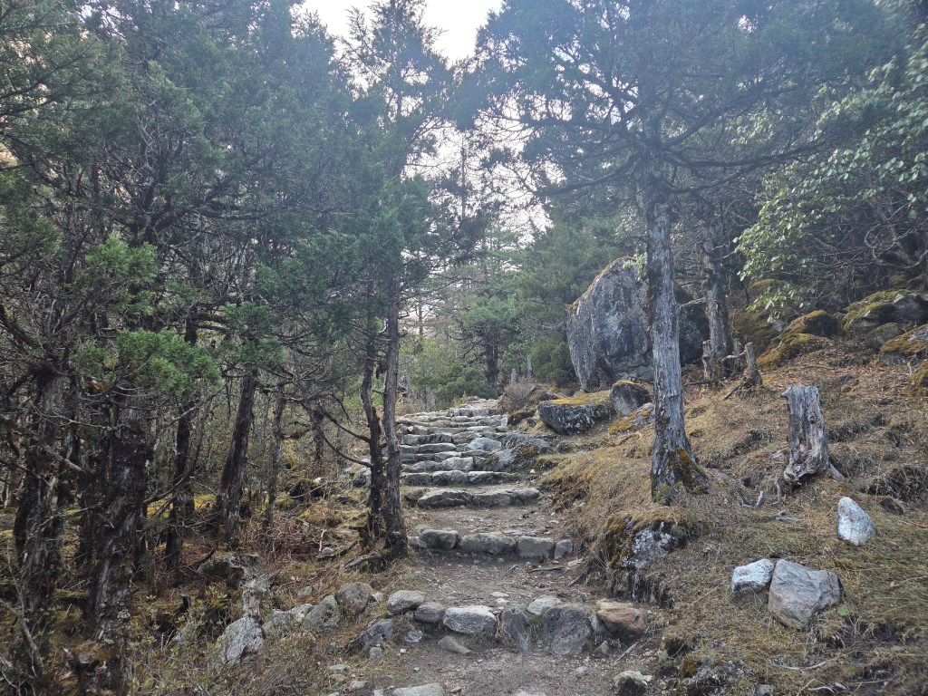
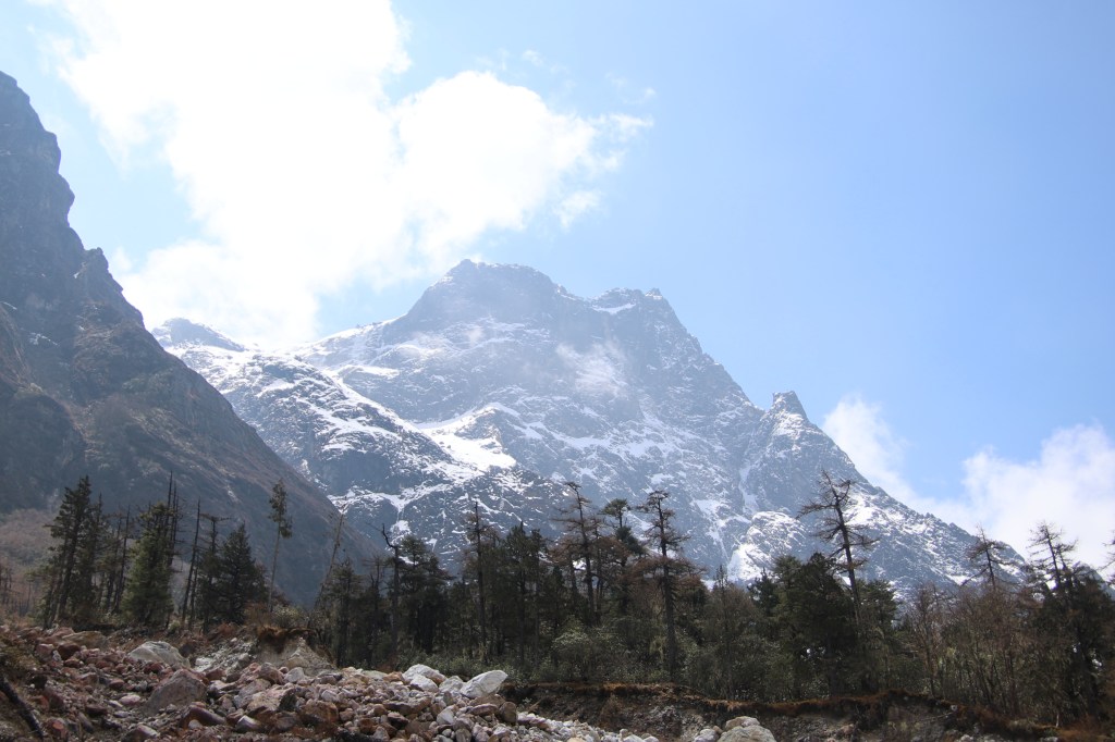
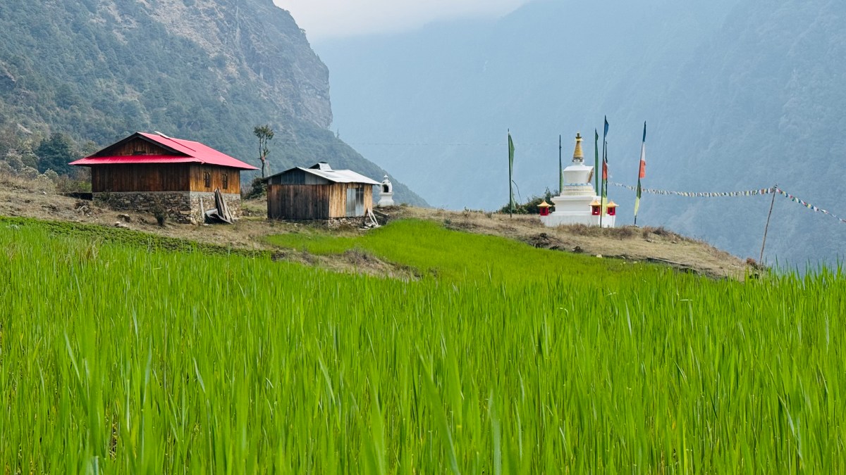
Amjilosa, courtesy, Dhananjoy Dey
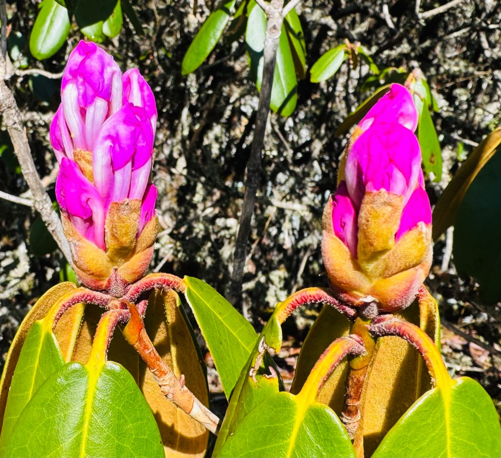
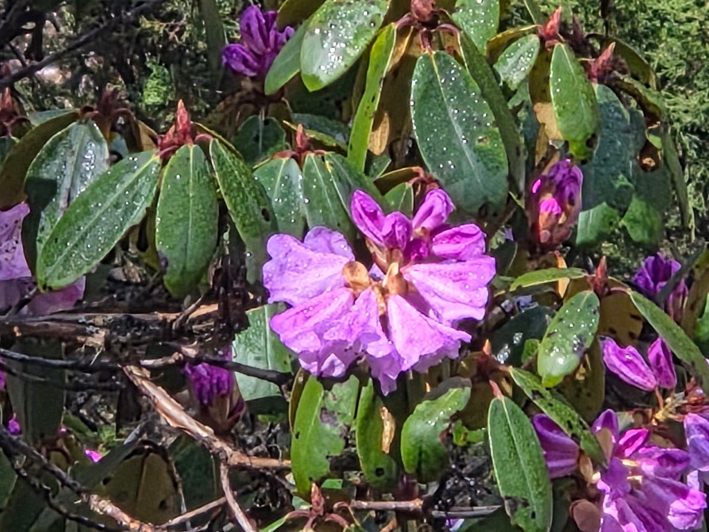
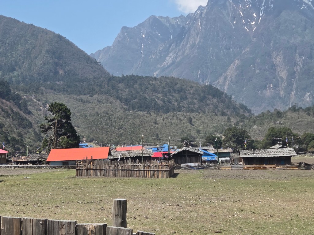
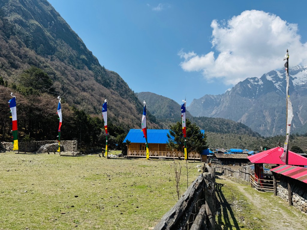
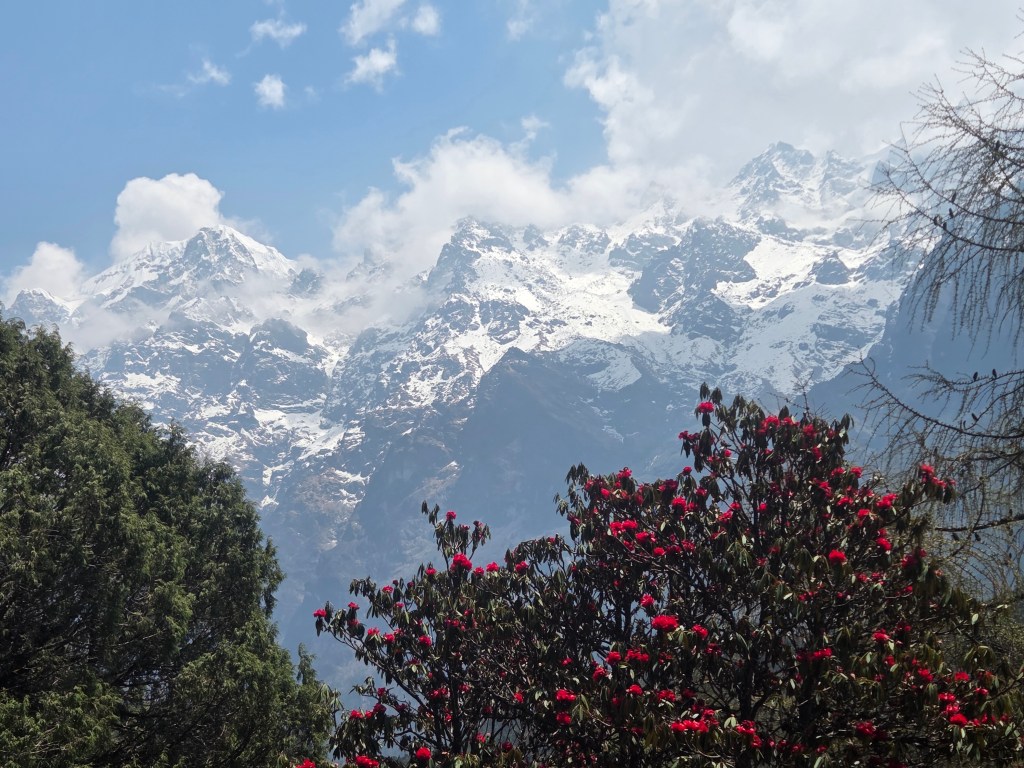
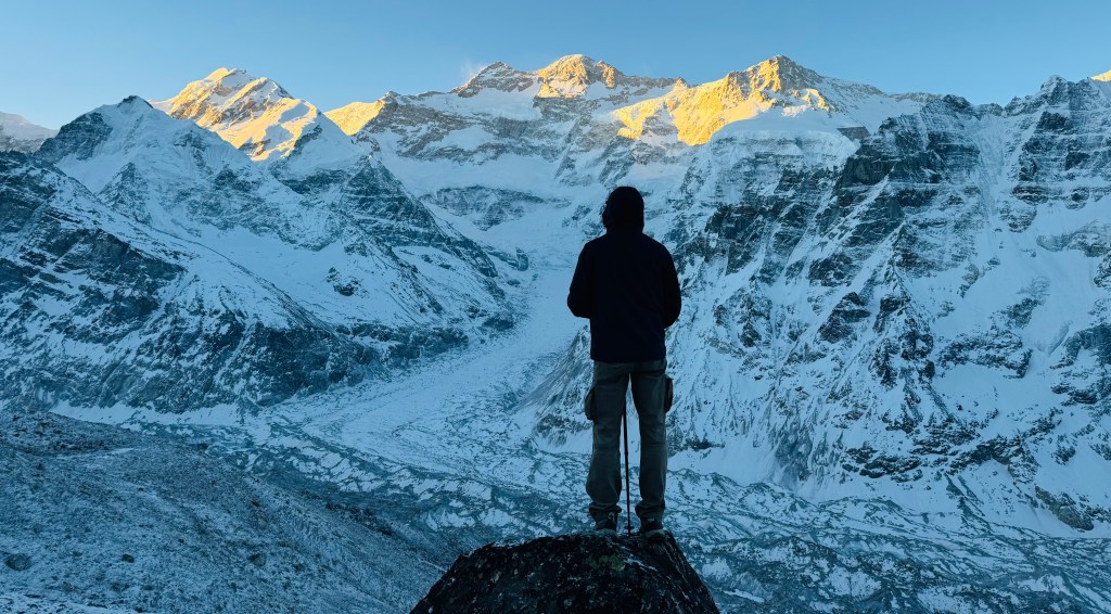
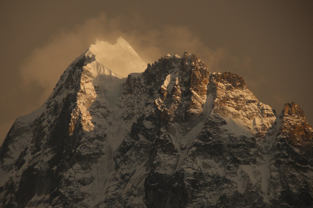
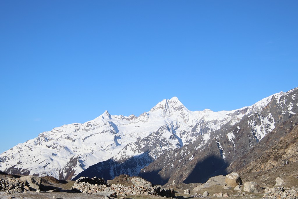
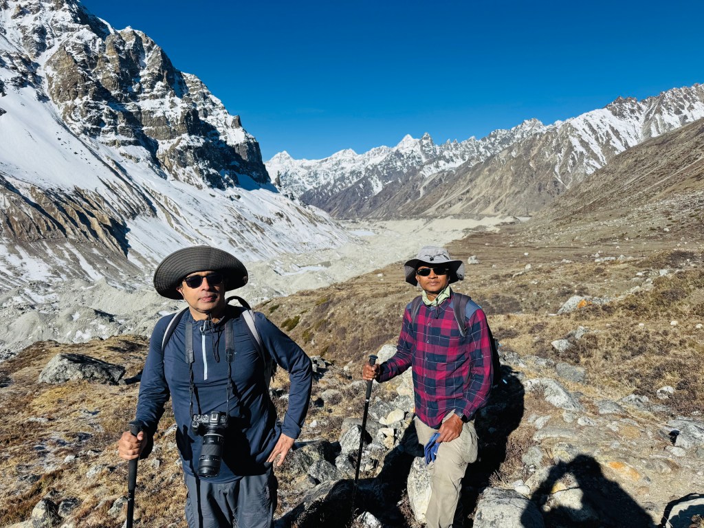
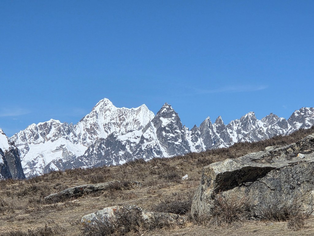
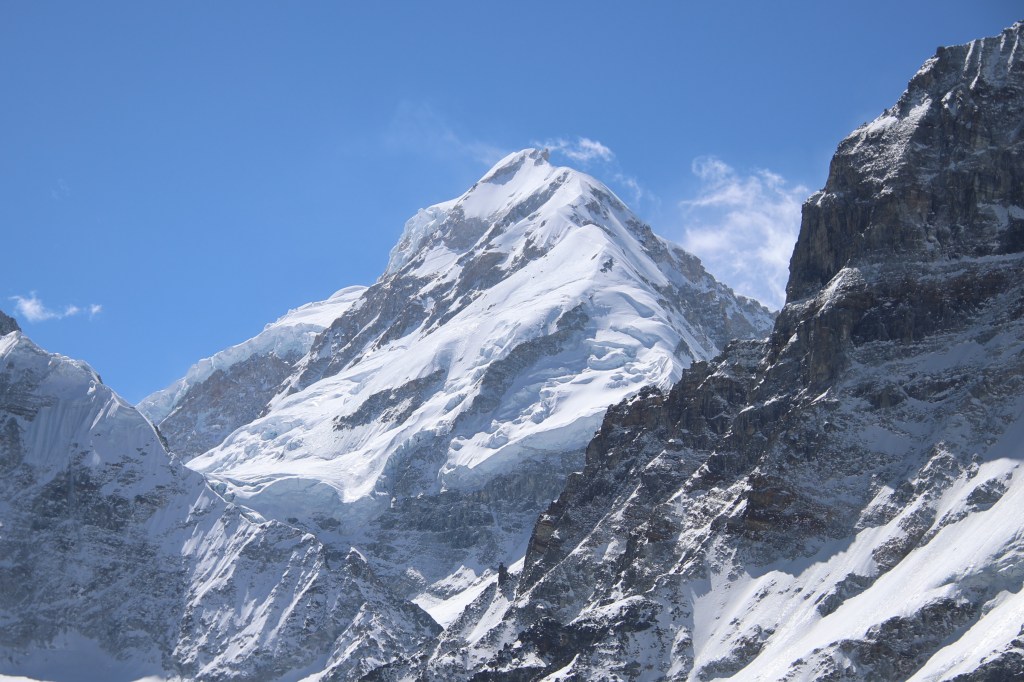
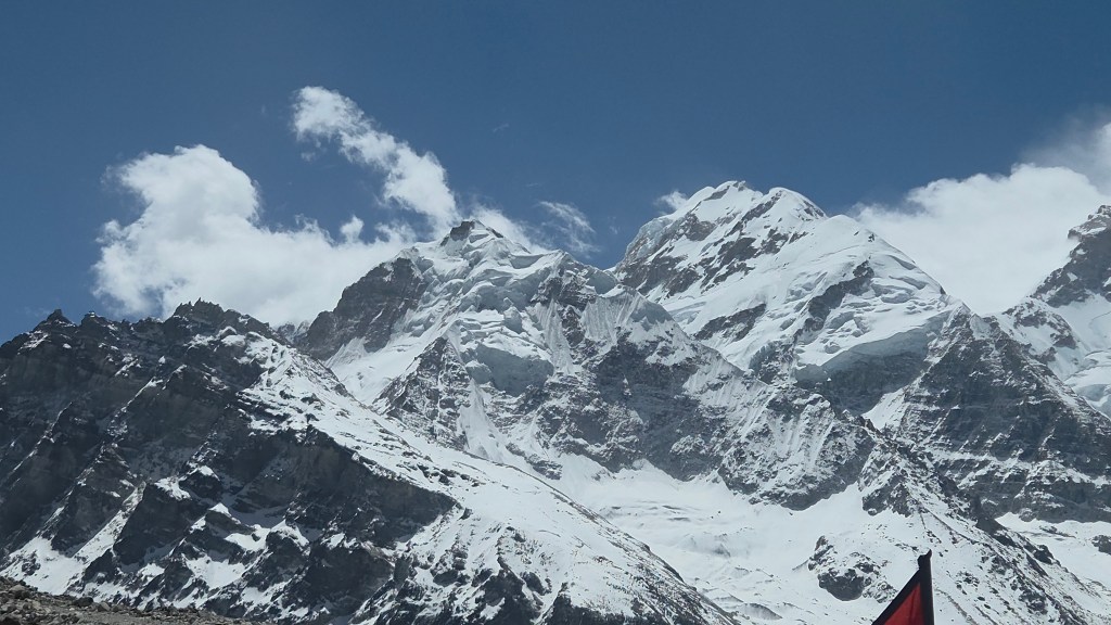
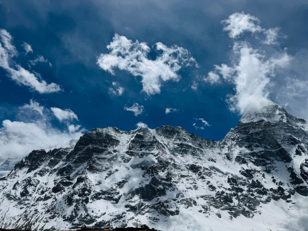
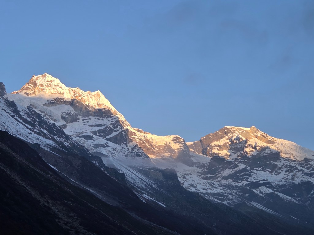
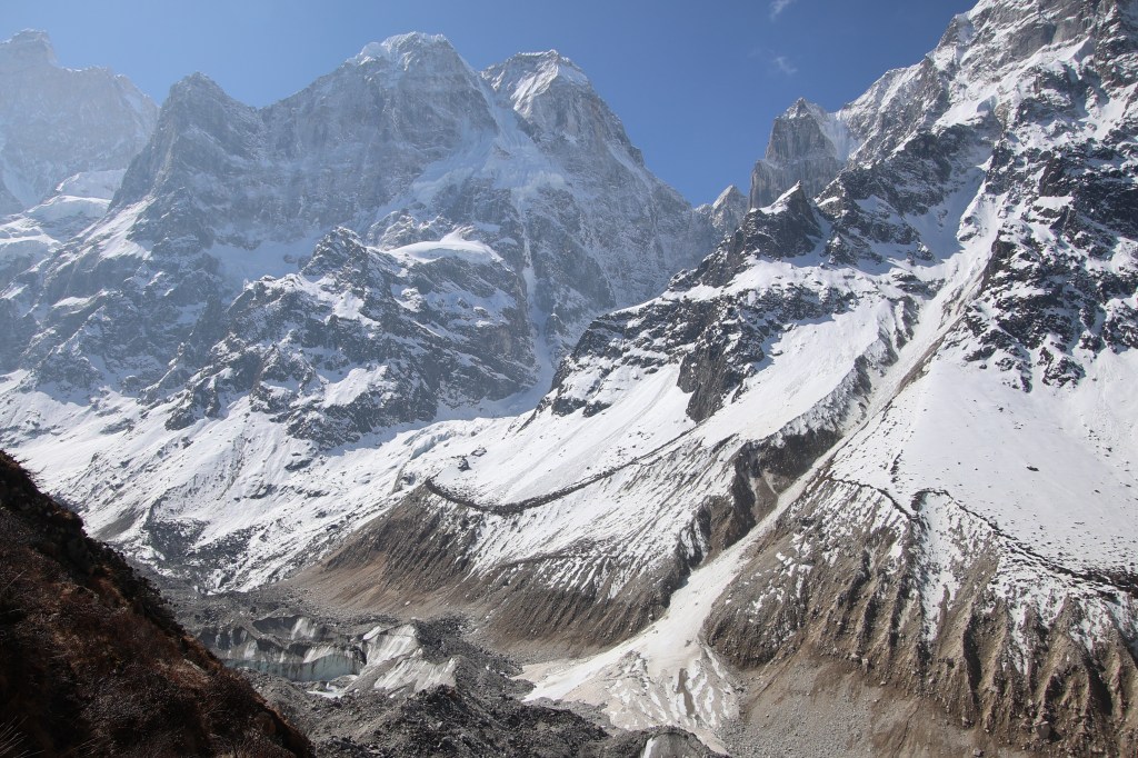
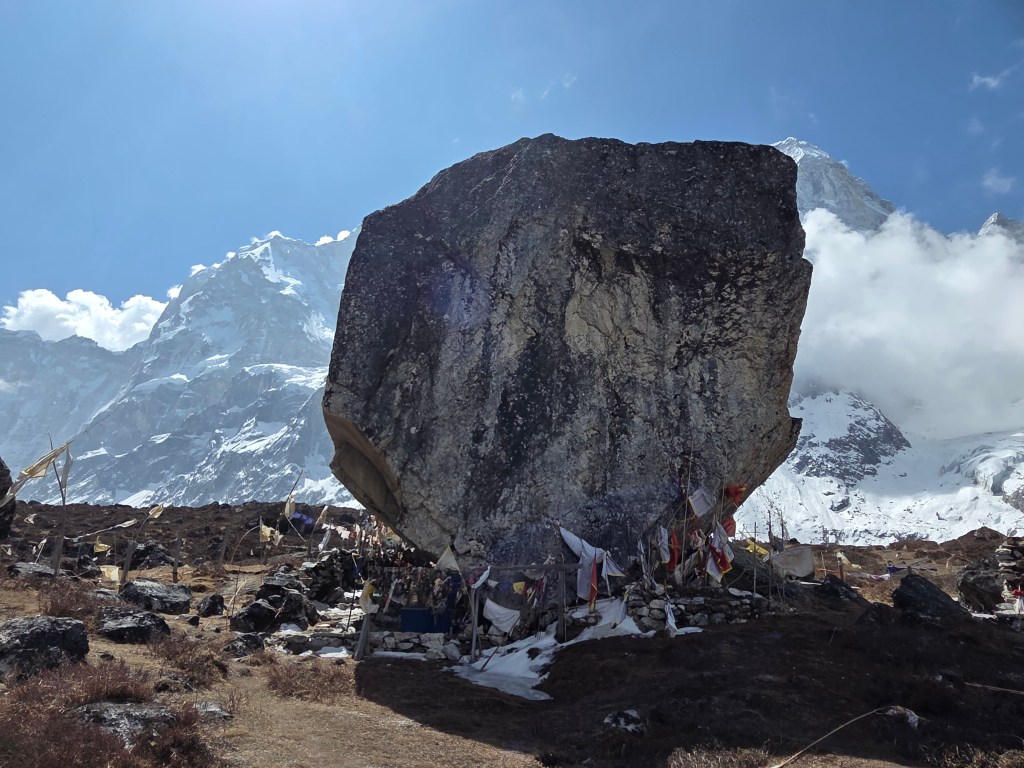
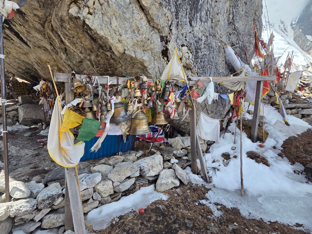
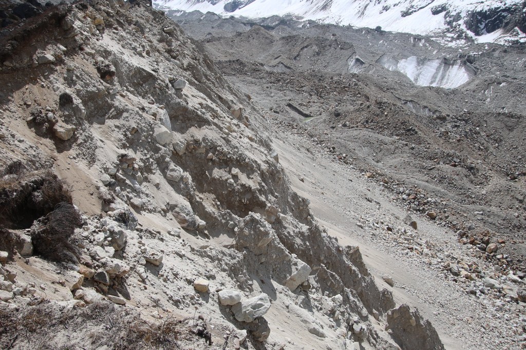
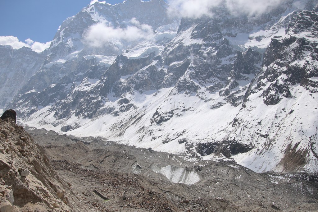
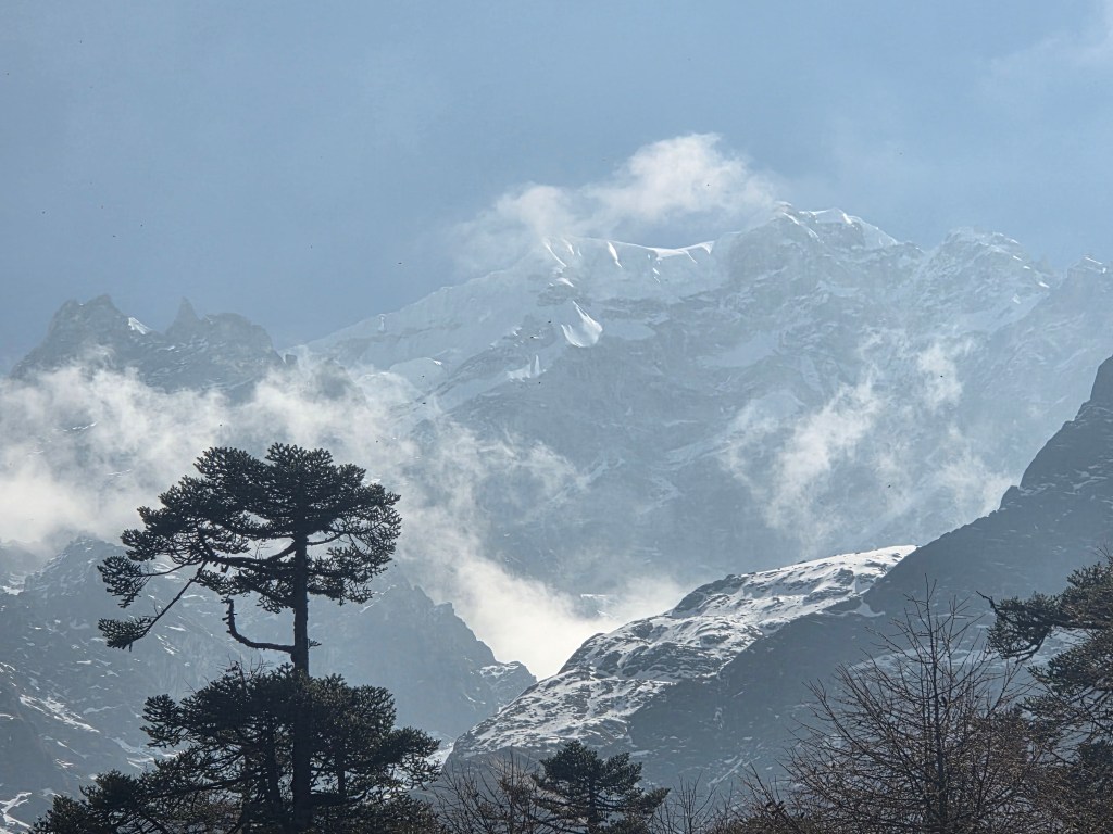
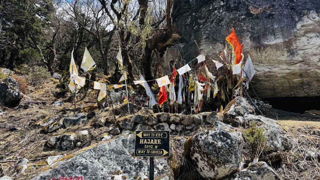
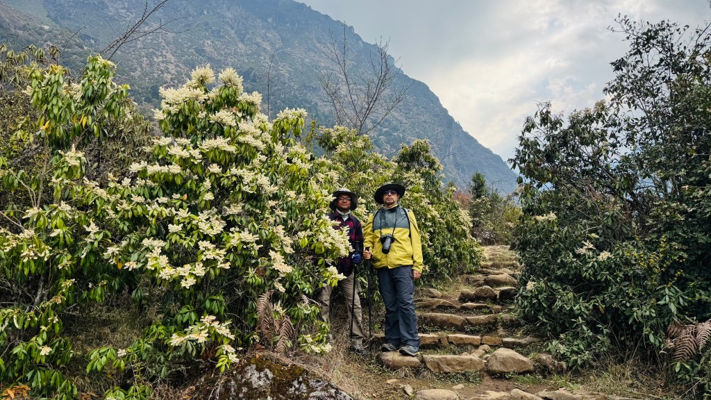
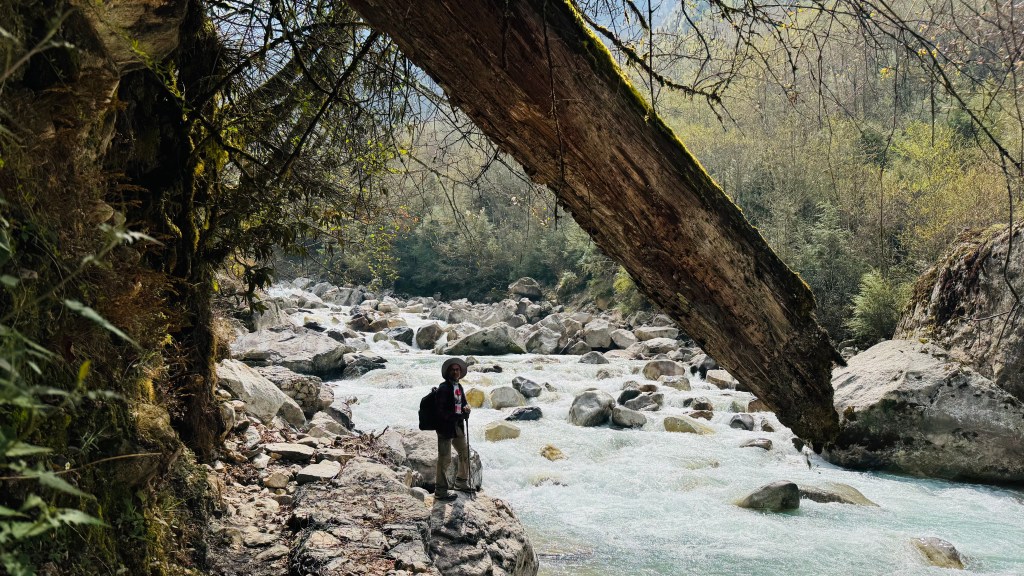
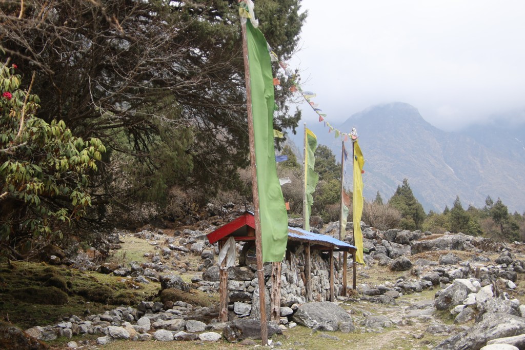
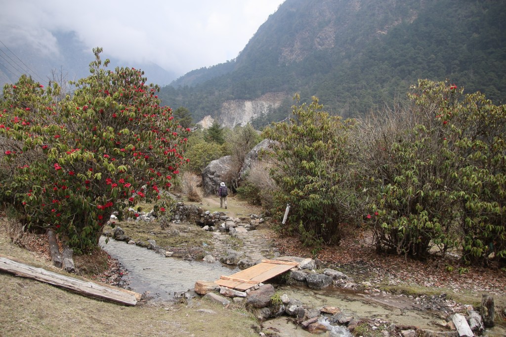
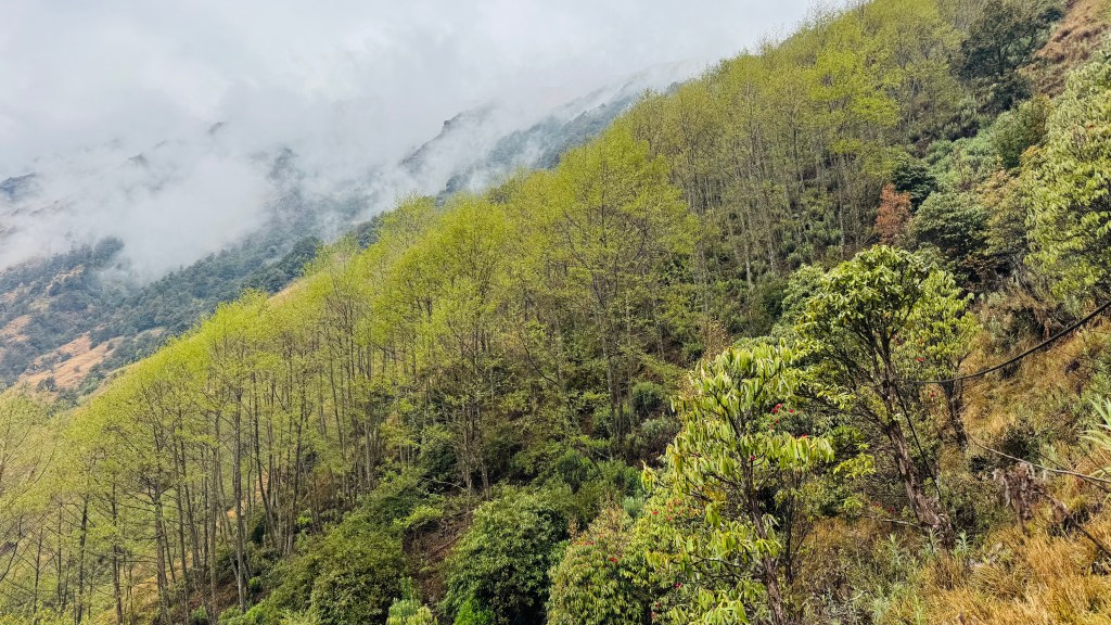
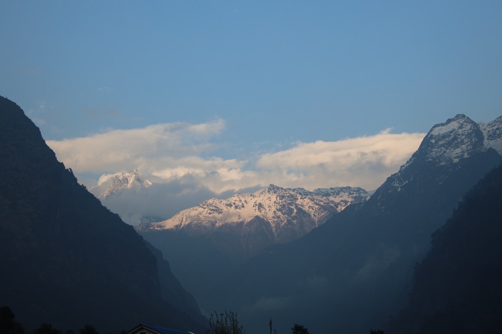
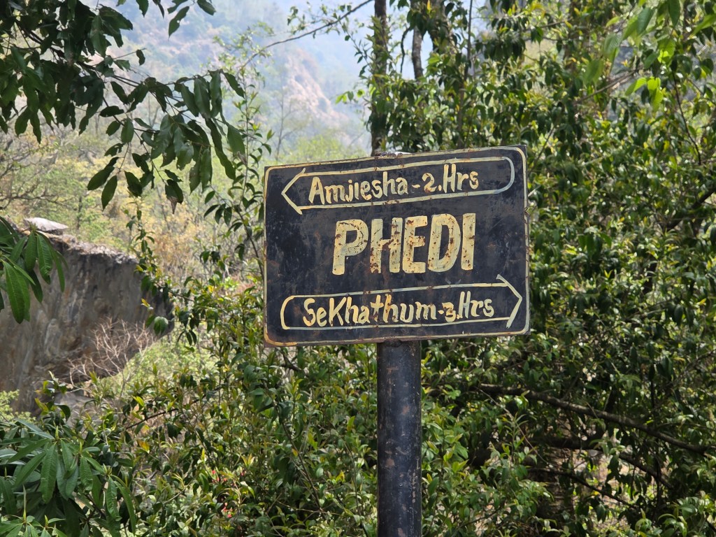
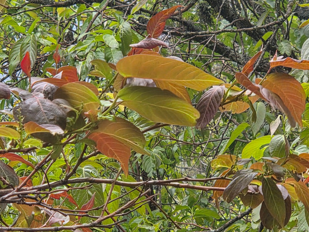
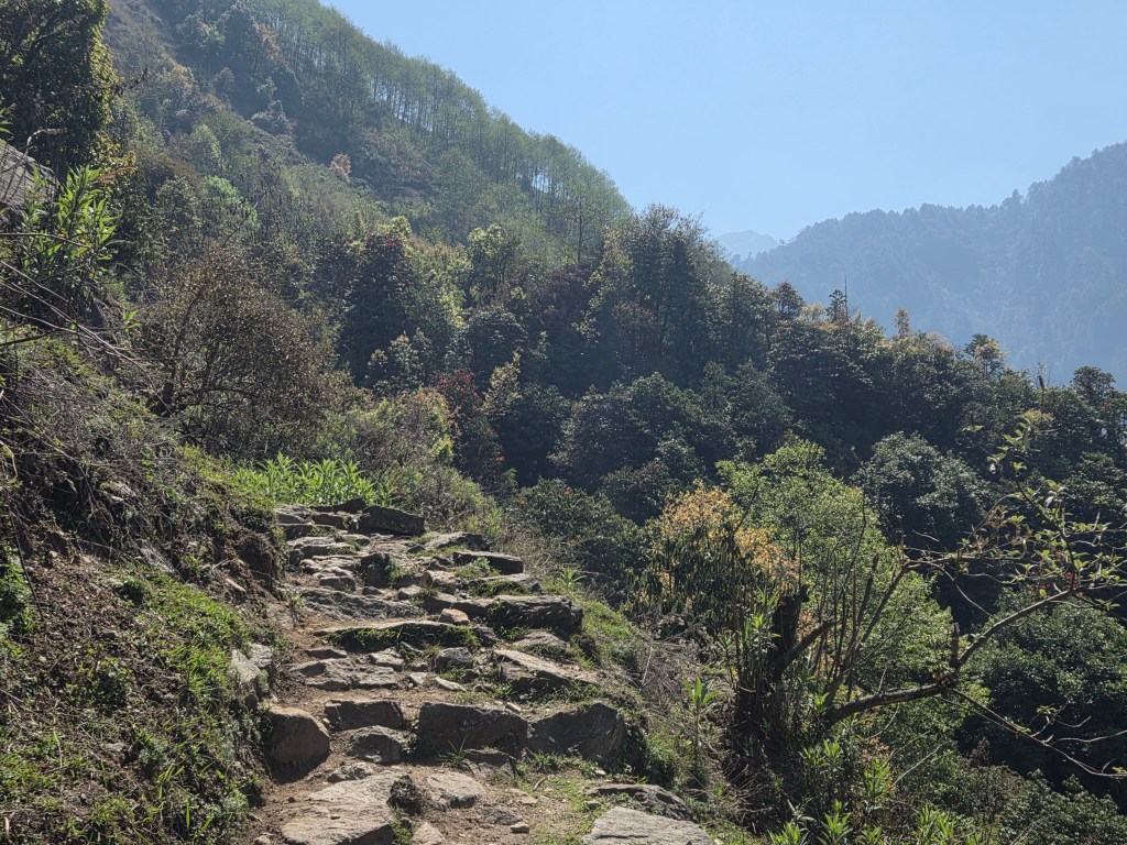
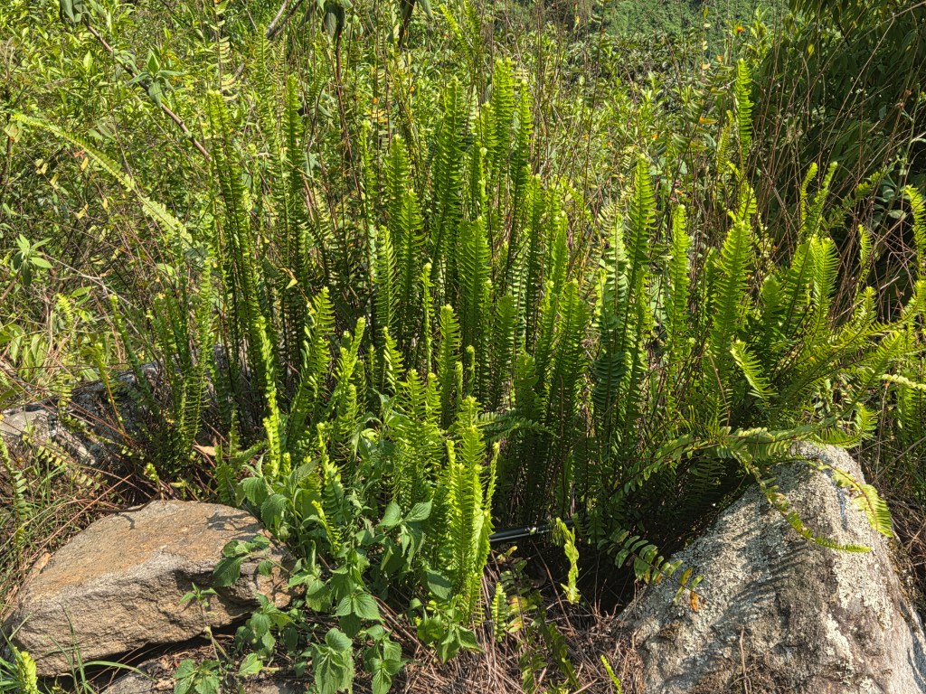
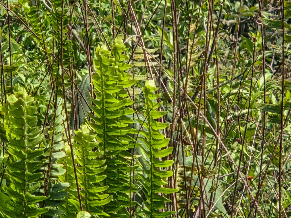
Suddenly, Dhananjoy pointed towards the distant houses of Amjilosa, which appeared as tiny matchboxes. We still had a long way to reach there. Before entering the village premises, we went through a track lined by beautiful green ferns on both sides. The meandering trail went through the ferns, under the forest cover and we found ourselves amidst the houses of Amjilosa. When we started from Amjilosa on our way up, the skies were cloudy and it weighed on my mind. But today, it was different. With the sun shining bright, a sense of accomplishment in our minds and the prospects of reaching Itahari by afternoon, our spirits were high. I recalled our stay at Amjilosa with the rain falling hard on its roofs, the village dogs relentlessly barking through the night. The disturbed sleep I had was because of my skepticism about the weather. All that was past and now I could say, they proved to be futile. Kahngchenjunga was generous in allowing us to its premises, baring all it had in its repertoire. After crossing the alleys of Amjilosa, the trail entered the forests again and started to descend. The track now circumnavigated the entrenched roots of the trees via twists and turns and we descended fast towards Phedi. After crossing many switchbacks, we finally arrived there to rest ourselves on the armchairs of the only tea house. The time to prepare our dal bhats gave ample scope for rest and to enjoy the cool breeze under the shades of the canopy.
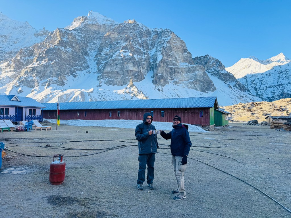
Courtesy, Dhananjoy Dey

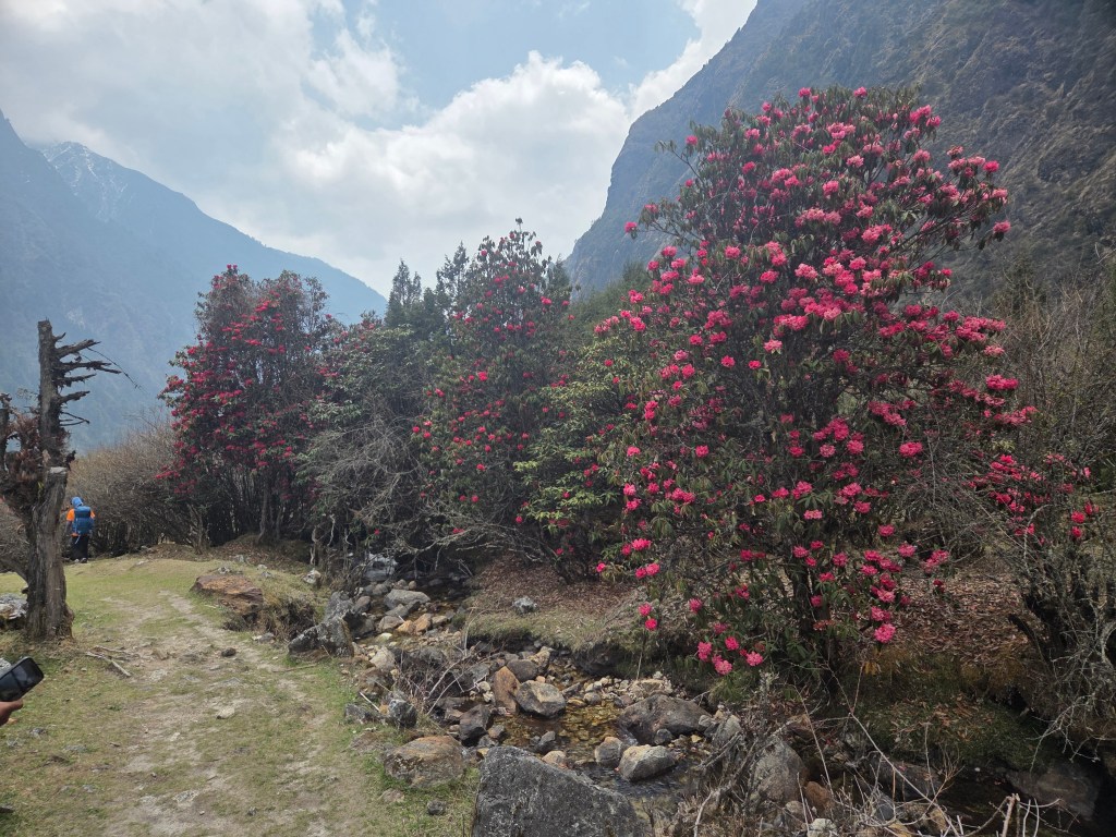
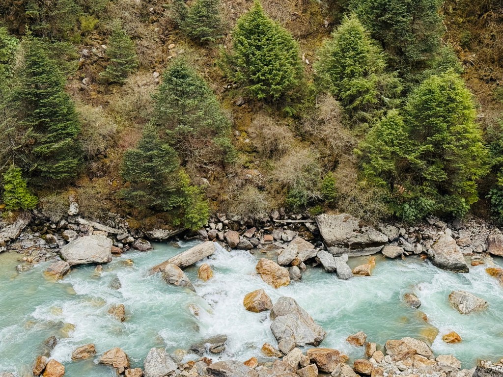
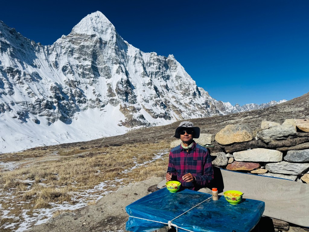
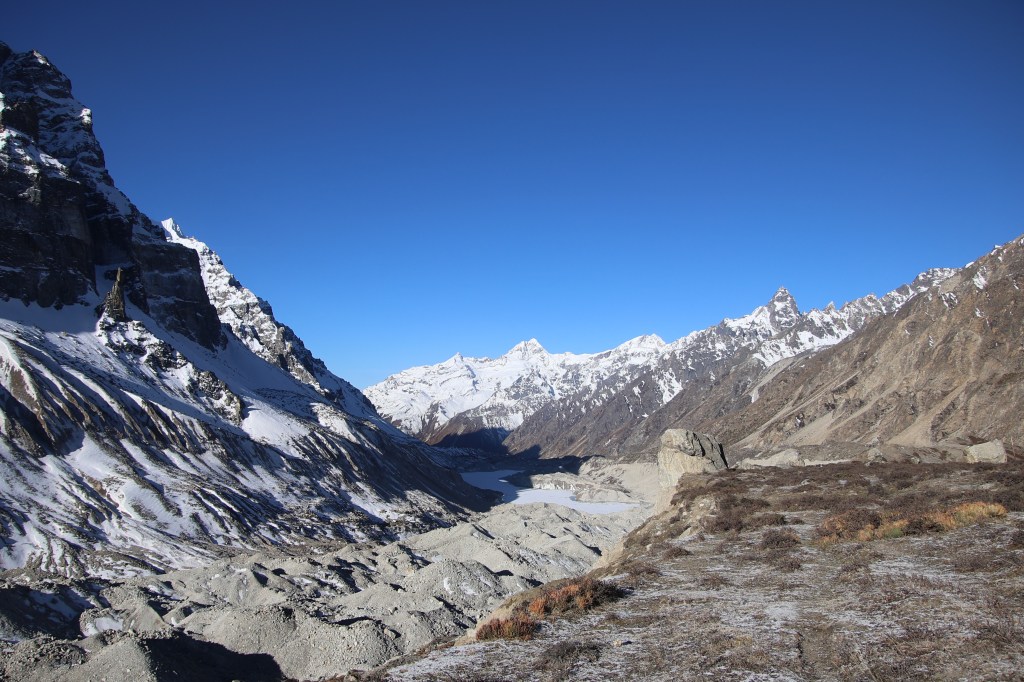
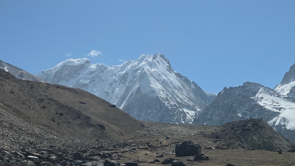
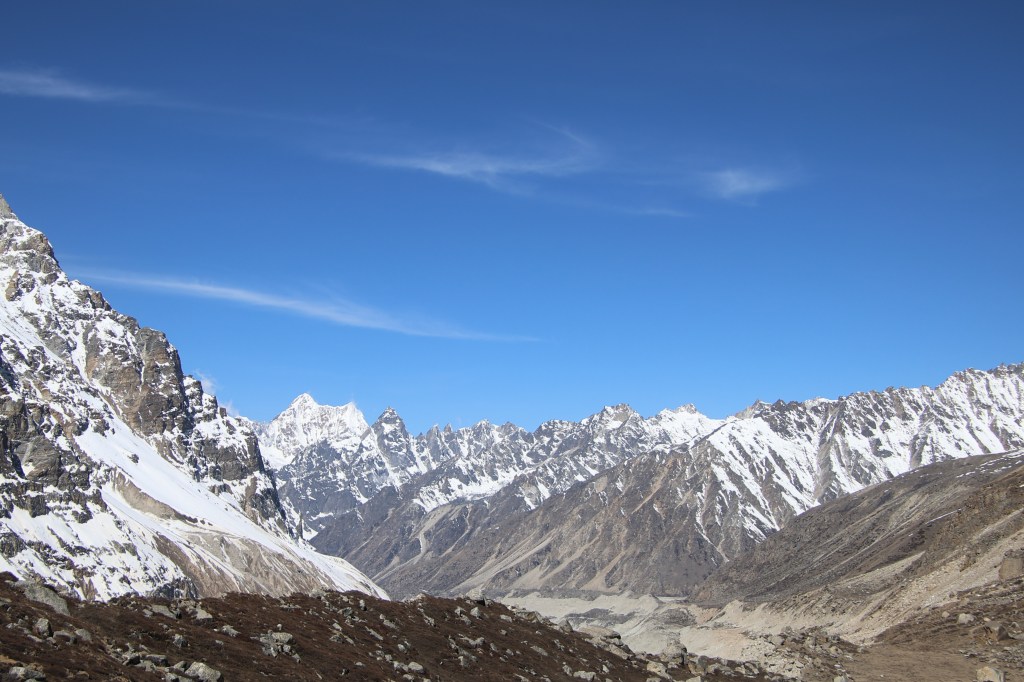
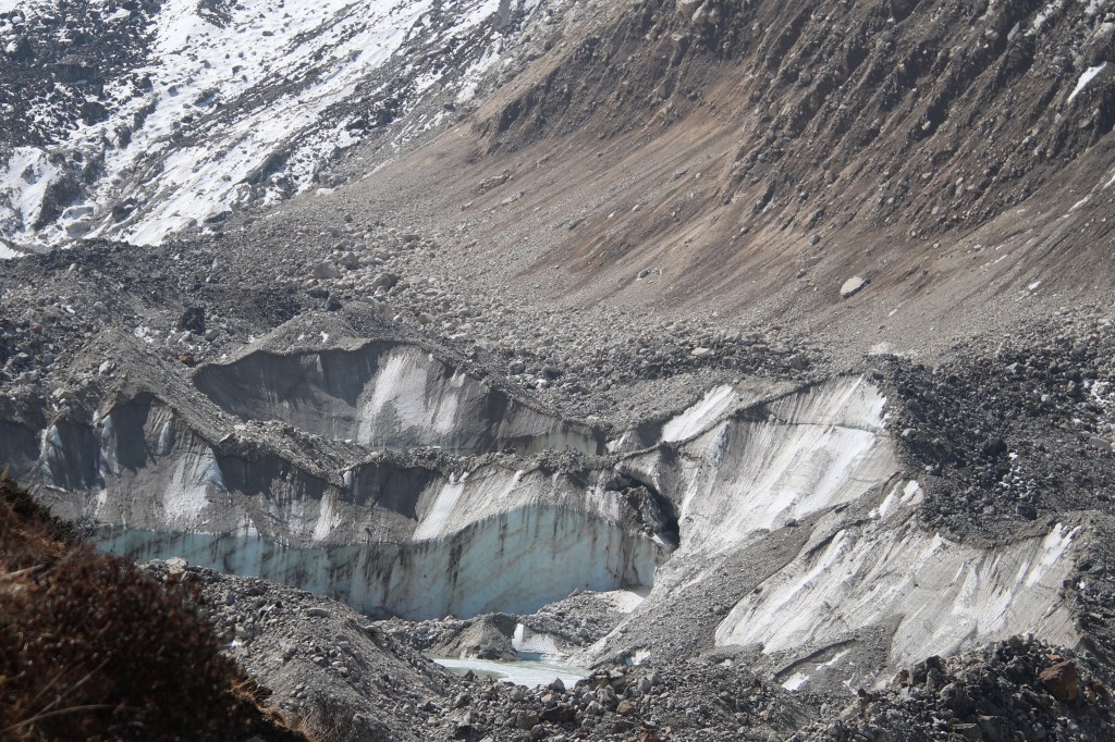
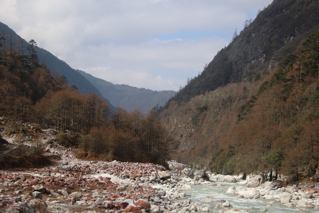
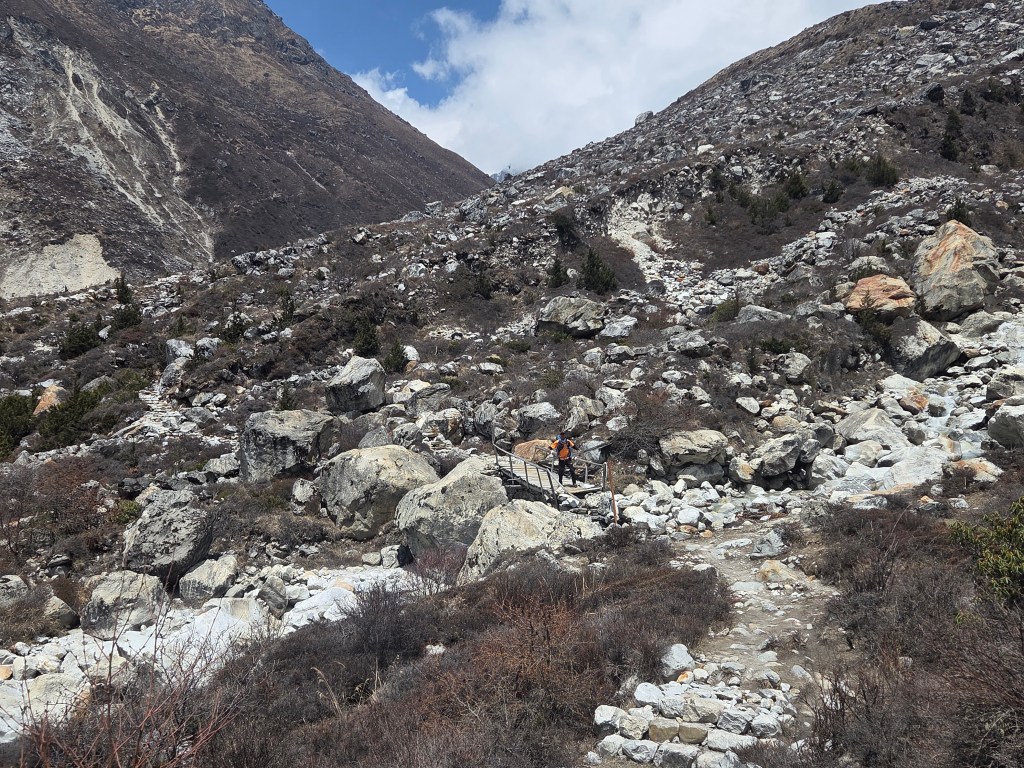
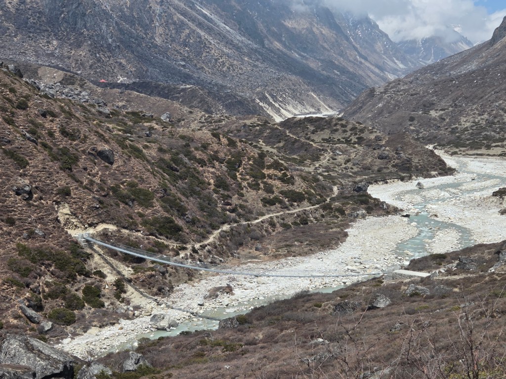
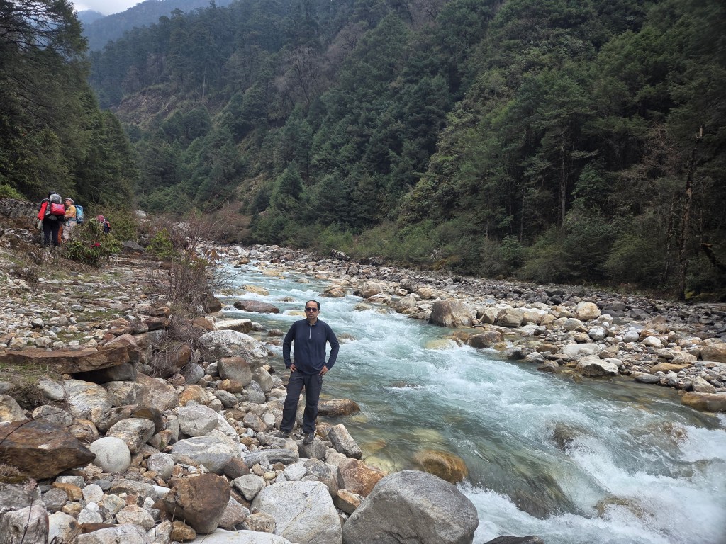
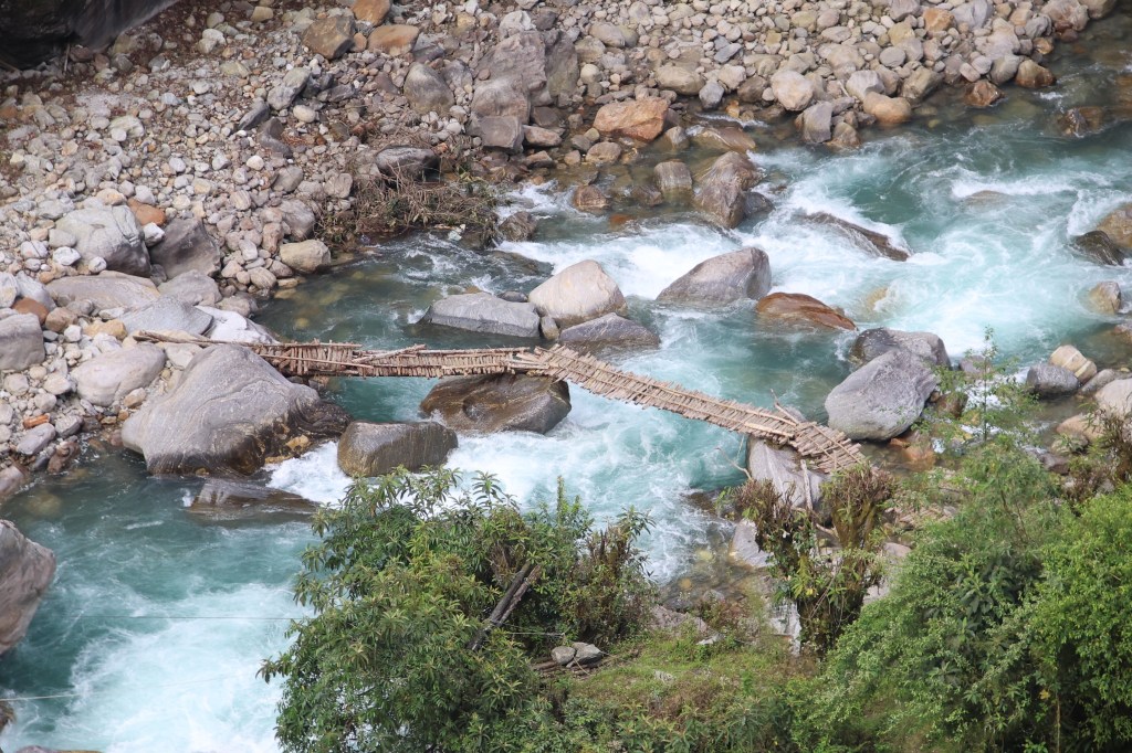
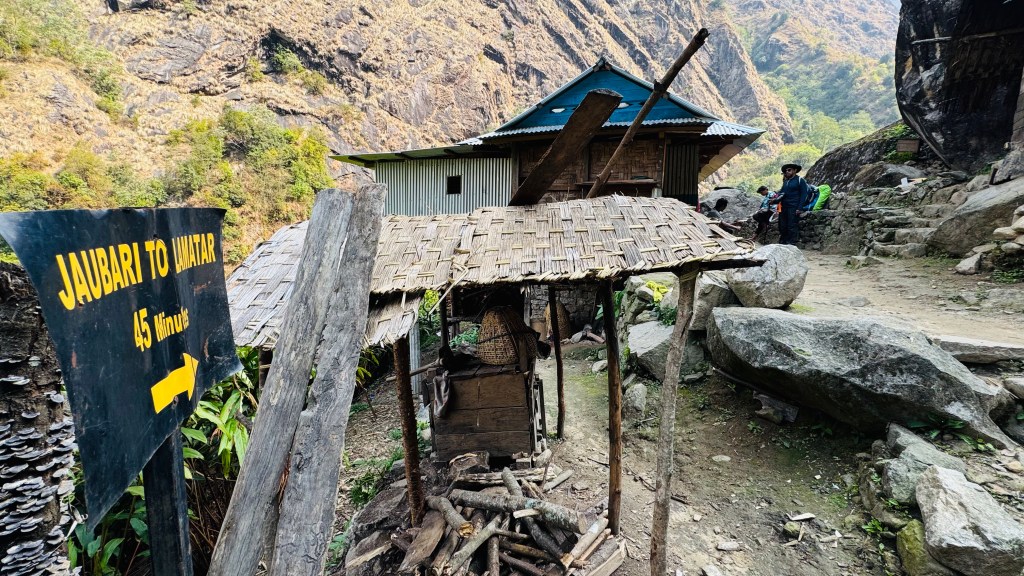
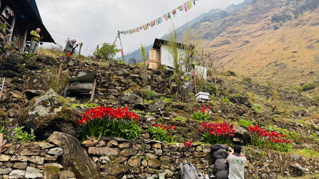
After lunch, the descent was quicker. After crossing a bridge, there was a steep hike over some unstable grounds to finally regain the trail, which now went through the villages. The cardamom fields reappeared and Ghunsa came close to us. The sprinklers were at their task to spray water over the fields, which covered the entire slopes. We crossed the wooden ladder bridges over the Ghunsa to reach Jaubari.

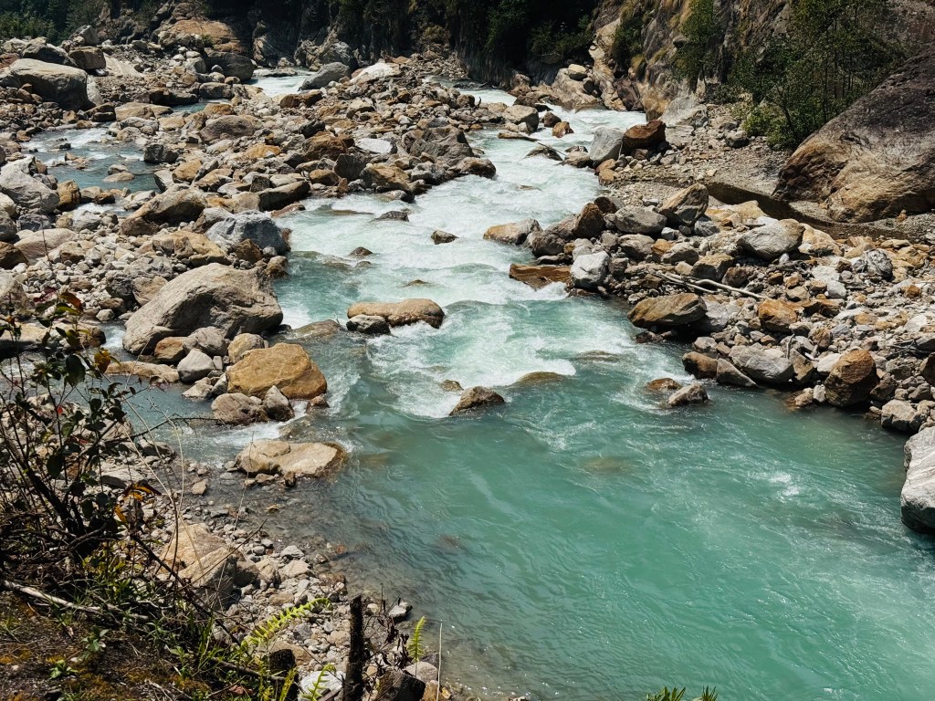

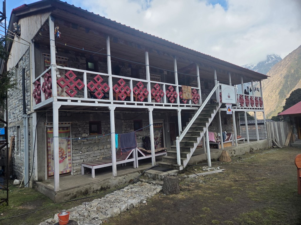
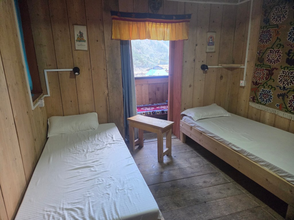
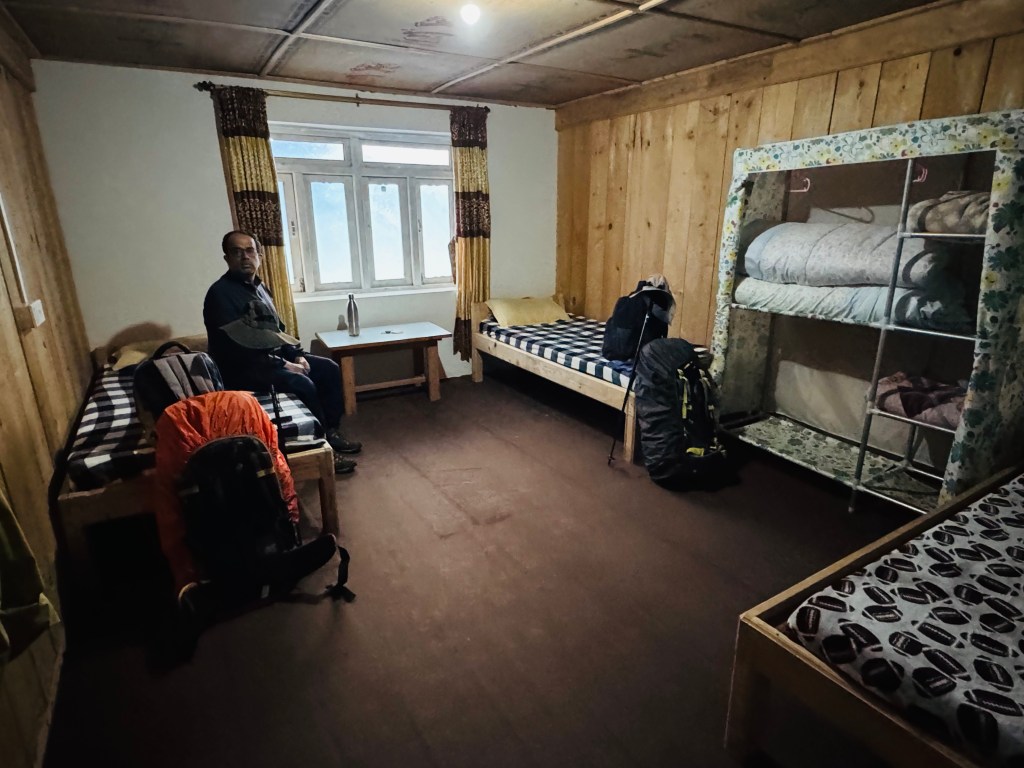
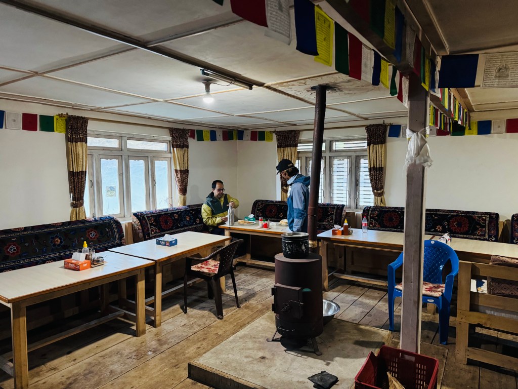
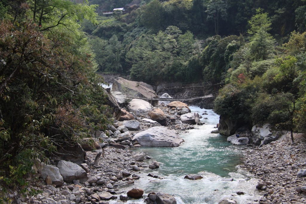
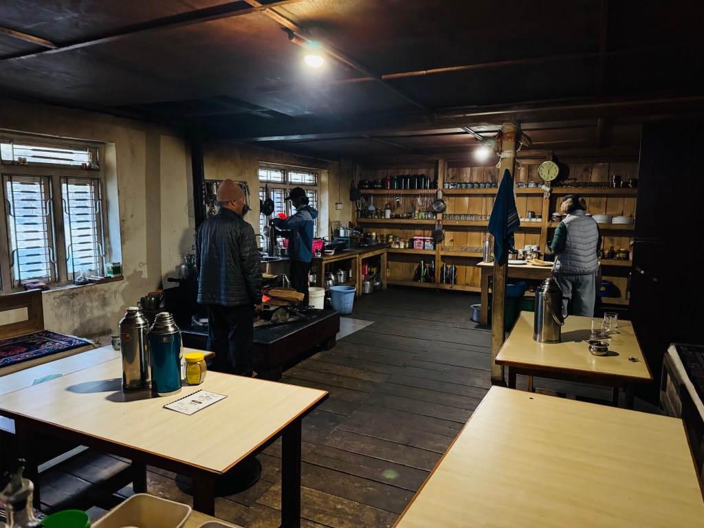
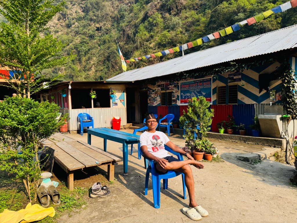
The even trail followed through the fields to reach the suspension bridge. We crossed Ghunsa again and started to climb. This was the last stretch of the trail before Itahari. It ran on an elevated ground, much above the stream of Ghunsa. The bushes were shinining bright. I kept looking down to my left to spot the wooden bridge that joined the two banks of Ghunsa near Itahari. The sight of that bridge signalled our arrival to Itahari and almost immediately we started our steep descent towards the village. After a few switchbacks, the lodges appeared. We were alloted the same room. It was 14.30. Dhananjoy was ecstatic. There was ample time and he saw a great opportunity to take a bath. I thought I'd follow him too. He also enticed me to wash my clothes. My plan was to wear the same shirt at least till Taplejung, but he somehow convinced me otherwise. I fell into the trap with the hope of getting them dry enough to wear again. The bright sunshine and the remaining hours of the afternoon also played a part to that decision. Little did I know that the tall mountain walls were going to hide the sun pretty soon and the intensity of the sun would dramatically reduce. As that happened, chances drying my clothes went with it. I had no other option but to wrap them up into plastic covers and pack them in my bag. That left me with only one shirt to wear day and night from thereon, till I reached Kathmandu. Only then I'd get access to my cache of clothes left there (would I?). For the moment, I kept those thoughts at bay and we ordered for some chilli chicken and beer.
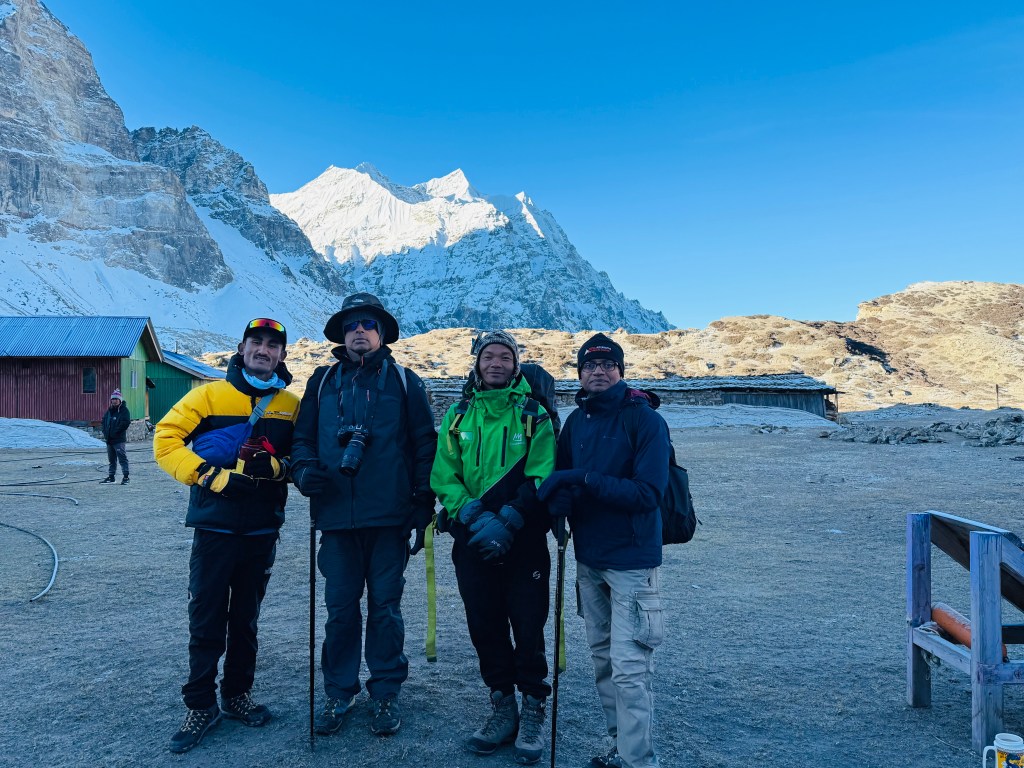
Courtesy, Dhananjoy Dey
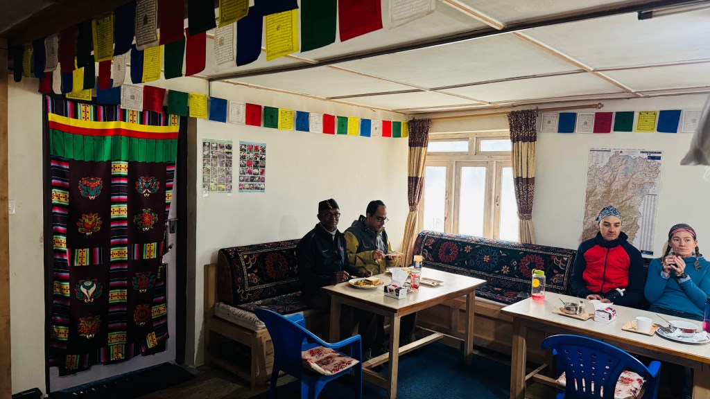
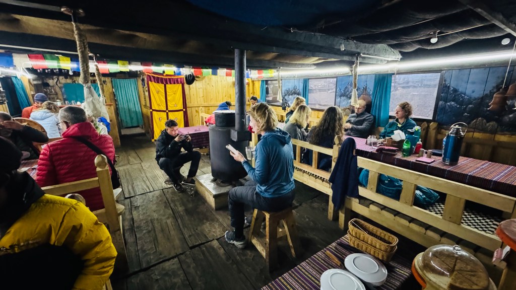
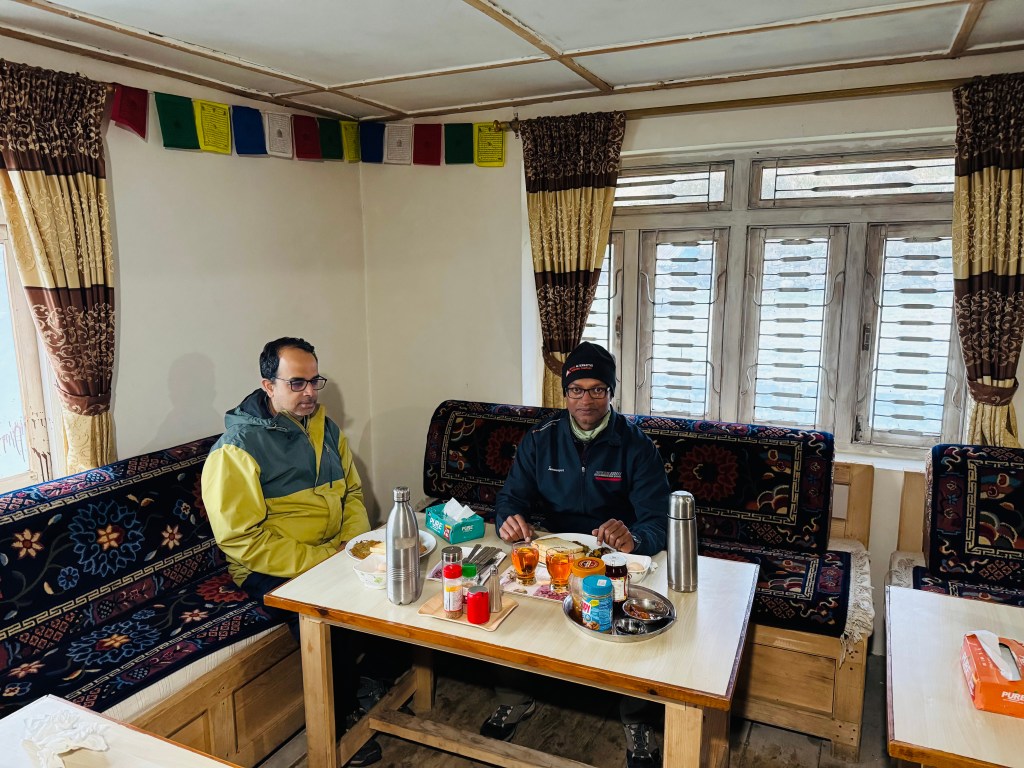
As we sipped along, sitting in the lawn, munching at our snacks, afternoon descended to the valley. In the evening, it was time for a party with our guide and porter. Limbu settled with coke (the first time I saw a porter content with it). But for us and the guide, the taps opened wide and thick. Slowly, as the beer started replacing the blood in our brains, we recounted our experience of the travel, the world was dreamy. To be honest, I don't quite recall when we switched from snacks to dinner. Dhananjoy even had doubts whether dinner was served at all! With our dizzy heads, sleep was comfortable. The sounds of the roaring Ghunsa played like a lullaby.
24th April, 2026
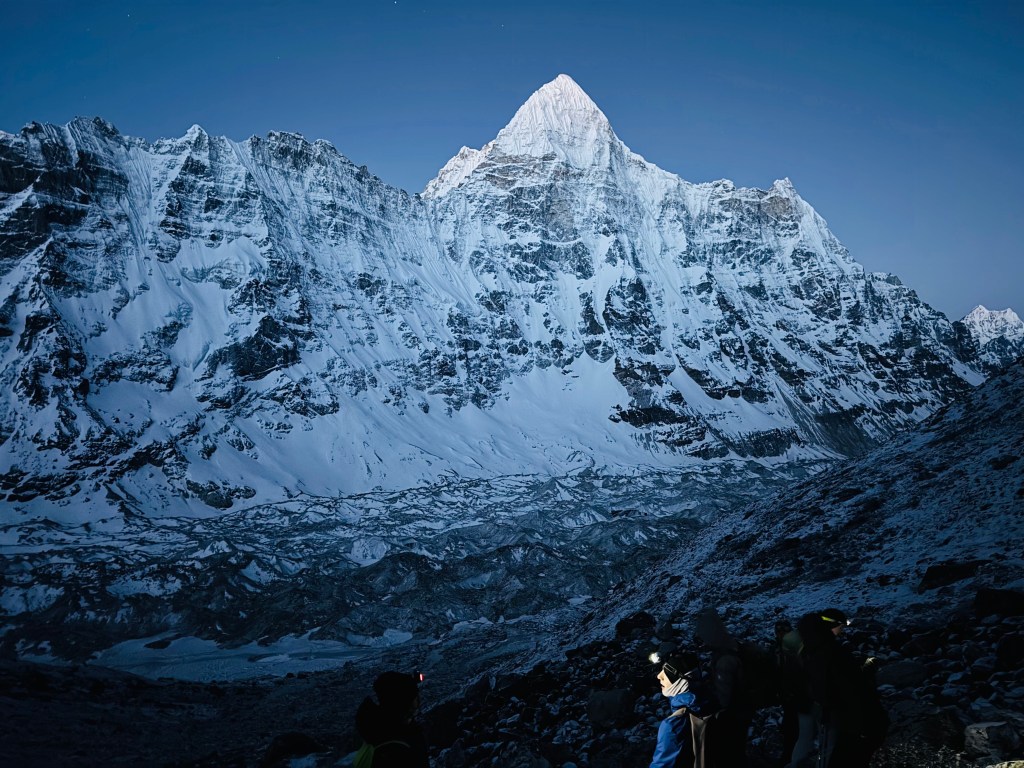
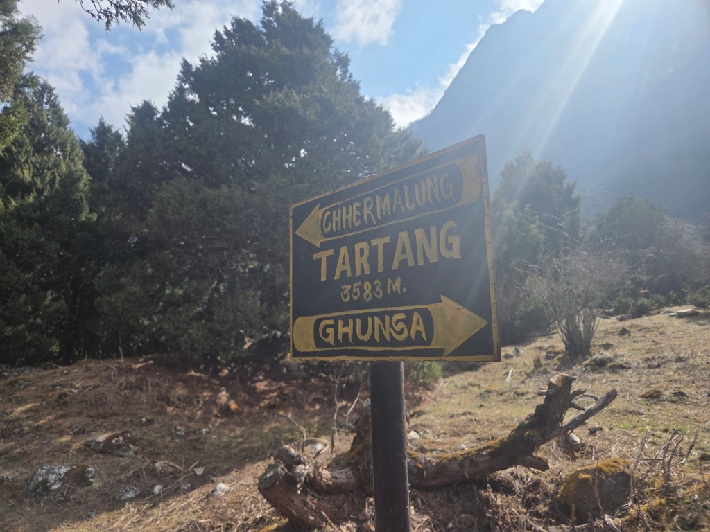
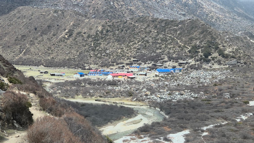
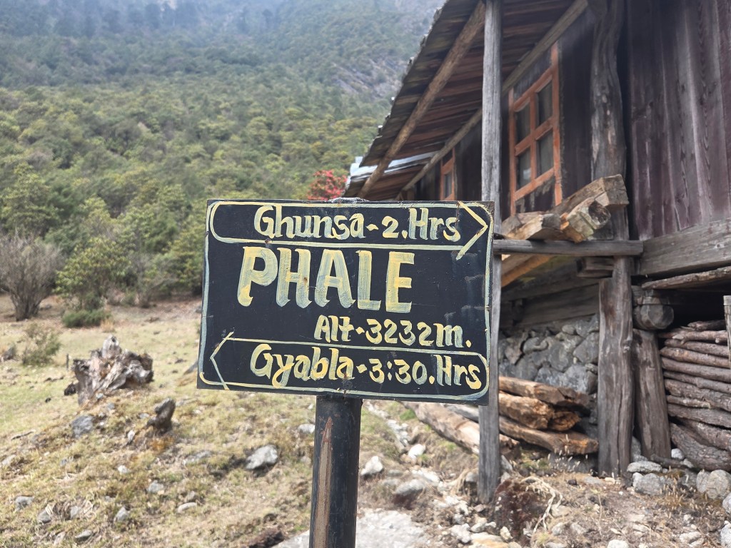
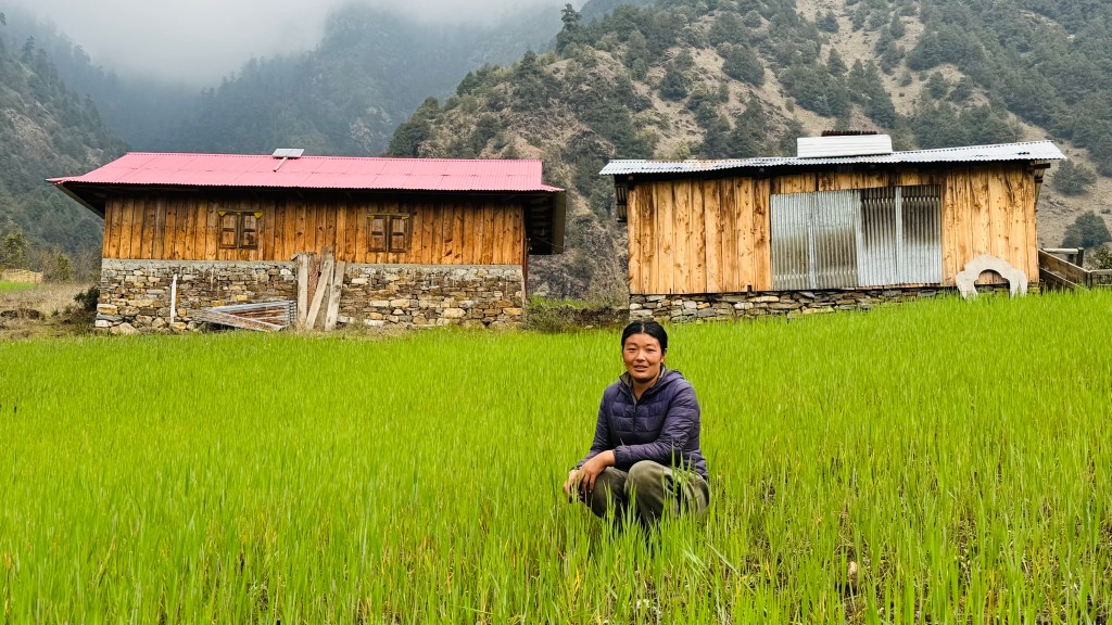
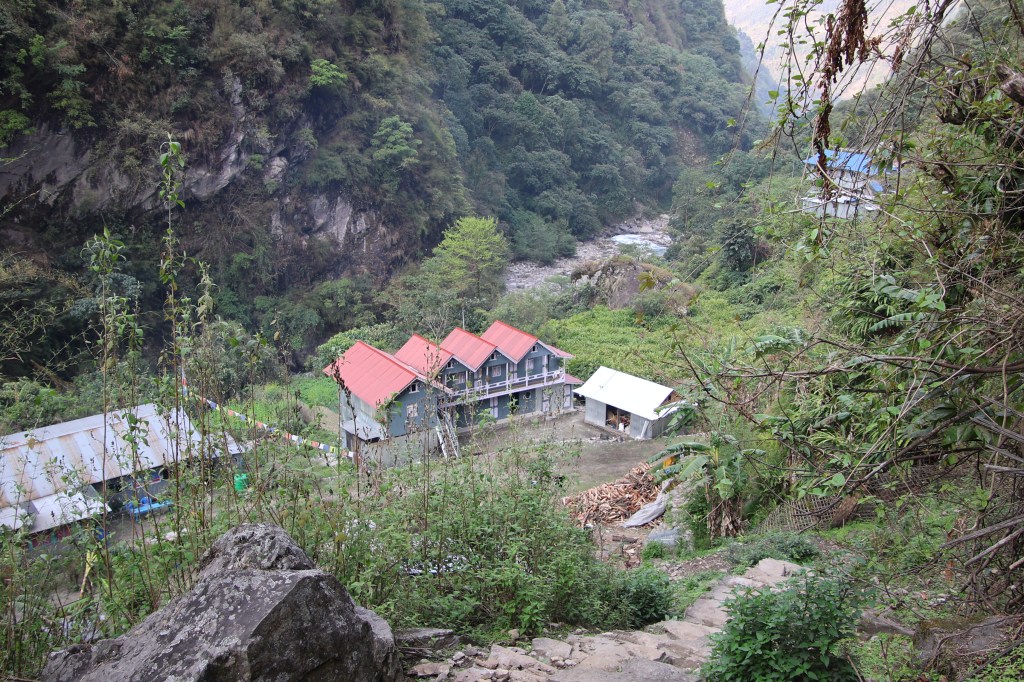
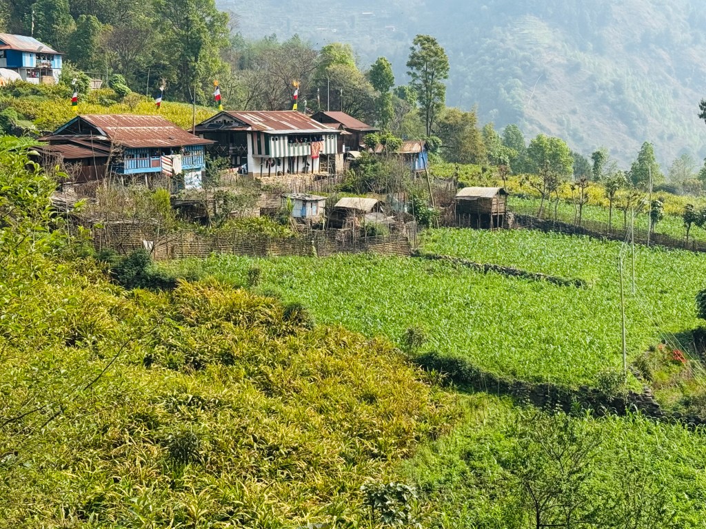
It was time to bid goodbye to Itahari. A walk for another 30 minutes should take us to the point where we'd board a local jeep. The previous night, we met a local Nepalese who is a teacher at a school in Ghunsa. His home is in the Terai at a place bordering India. After vacations, he was now returning to the school, accompanied by a student. Just like us, jeep rides for two days brought them to Itahari. After a night's rest, they were about to embark on their journey in the morning, on foot. Their target was to reach Phale the same day and Ghunsa, on the next. This has been his routine for the last 12-15 years for which he has been serving as a school teacher. While they started their hike, we moved in the other direction towards the jeep point. After a breef walk, we reached the landslide area aka the jeep station. Our bags got loaded. Limbu hung by the door. Apparently, it'd be more convinient for him to get down at Ranipul, on our way. The jeep started its journey on the topsy turvy road. We bade goodbye to Limbu at Ranipul where he headed towards his village (a few hours walk). From here on, the Ghunsa emptied its waters into the much bigger Tamor river. The jeep headed towards Lelep, a local village, to pickup some passengers. It wound up the slopes amidst forests and came to a halt. Cultivation fields lay in front of us, interspersed by houses. The entire village was visible in a bird's eye view. The fields were surrounded by thickly wooded hills.
Lelep village, courtesy, Dhananjoy Dey


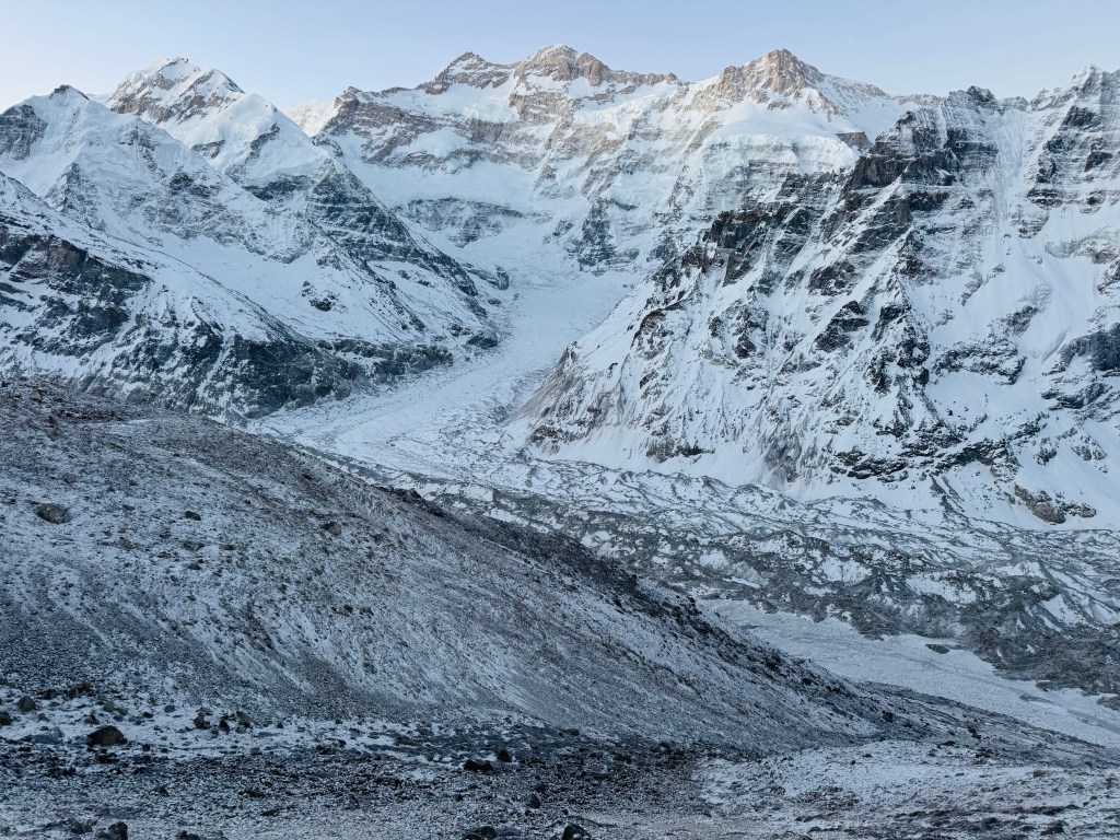
The flow of the Tamor river was visible as a small glittering piece of ribbon amidst the deep wooded gorges. We waited for the locals to arrive. Once they came in, the jeep resumed its journey to Taplejung. Signs of work for a hydro electric project was visible along the stream of the Tamor river. It has been diverted at multiple places to allow work on the reservoir and the dam. The entire place was filled with pieces of blasted boulders with JCBs operating frantically to transfer the debris. We've seen the devastating effects of unrestricted hydro power projects in the Indian Himalayas. Is Nepal repeating the same mistake? Diverting river flows, blocking their beds is to deny the river of its legitimate territory and sooner or later, it takes its forfeit. The local inhabitants have lived peacefully for decades, reverring the forces of nature. It's now when "development" turns a blind eye towards the eco system, they suffer nature's wrath. The road widened. Though unpaved, traveling was relatively comfortable. Green fields whizzed past. After meeting the Mechi highway, we turned left. The winding roads led us though the gate which welcomed travelers to Taplejung. The jeep traveled through the alleys and markets to finally drop us at the "The Hotel Mountain". After a comfortable bath, we settled at the dining place to enjoy our dal bhat with mutton curry. After lunch, it was time for us to roam around leasurely in the markets of Taplejung. Dhananjoy resumed his search for a Kangchenjunga base camp trek T-shirt, which continued to elude us (as it did in Kathmandu). On our way bak towards the hotel, we encountered a sign-board pointing towards "Siddhi Danda pokhari". Locals said that it was just a km away. We started our walk through the cardamom fields and forests to reach there. There was a lake. A set of stairs went up by the side of the lake towards a temple. We sat there for sometime, enjoying the serene breeze flowing through the trees. Birds chirped along.

I got a message from Tej Gurung to start early in an attempt to get a seat on an earlier flight from Bhadrapur on the next day. At times, flights in the evening get canceled, especially when weather turns bad. That revived some nightmares about our prior experiences at Lukla and Tumlingtar. For the moment, we returned to the hotel. A dinner with dal bhat and fish curry was followed by a good sleep.
25th April, 2026
We started at 6.30 in the morning. It rained last night and the skies looked dark. The jeep started on its way down. It sped through the serpentine highway, winding down the slopes. I recalled our arrival at Taplejung about a fornight back. As if the scenes were being played out in the reverse order. We stopped at a shop for breakfast with samosas and chana masala (both very famous in rural Nepal). Fog engulfed the road and visibility reduced to a few meters. It revived my memories of Kangchenjunga, a famous film by Satyajit Ray, shot at Darjeeling, where he used the hide and seek between mist and sunlight marvellously to portray the uncertainties in the lives of the characters. In the meantime, I kept looking at the flight history of my flight from Bhadrapur. It's normal to be late by upto an hour, but there haven't been any cancellations recently. After a lunch with mutton curry and dal bhat, our journey resumed and so did the rains.
En-route Bhadrapur
Dhananjoy left us at Kanyam. The trail moved down to the plains. We crossed Charali, where the road on the left led towards Kakarbhita (the Indian border). We headed straight through the dense forests of the Terai and reached Bhadrapur at 15.00. On efforts of Dilal, we got seats in an earlier flight at 15.30 of Budhha Air. The prospects of reaching Kathmandu earlier elated me and I informed Dhananjoy as well as my home. But I celebrated a bit too early. We checked in and moved to the boarding area. By that time, the skies went dark. There was an aircraft of the Yeti Airlines standing on the runway. The time of departure for our flight went past, but I wasn't worried yet. As long as I reached Kathmandu on the same day, I was fine. Boarding started for the Yeti Airlines flight. When that aircraft was airborne, I envied the passengers as till then, there was no sign of the Budhha Air aircraft. People started tracking status of the flight from Kathmandu to Bhadrapur. That's the one which would take us back. It was yet to depart from there. The rains increased in strength and with it, the chances of the flight dwindled. After sometime, we were informed that our flight has been cancelled. At the checkin desk, where we recollected our luggage, we were told that we'd be allocated seats on the first departing flight tomorrow. We exited the airport with heavy legs and dropped shoulders to reach a hotel just outside the gate of the airport. Me and Dilal settled in a double room, which was clumsy, but one could manage for a night. Weather forecasts weren't great for the next few days. While sleeping at night, I went through the different possibilities. What if the same story repeats tomorrow? I must reach Kathmandu, as my flight to Delhi was booked for the next day from there. Just then, the clattering sounds of rain started outside. I went to the balcony and was dismayed by the sights of heavy rain lashing the grounds. I started to think about an alternative plan. I checked prices for flights from Bagdogra (an airport in the adjoining areas of Bengal) to Delhi. When I enquired at the hotel counter earlier, they informed it takes about 1.5 hours to reach there from Bhadrapur. The prices started from 13,000 INR. Opting for that would mean leaving my left-over cache of luggage at Kathmandu, forfeiting my hotel stay as well as flight cost of Kathmandu-Delhi flight (which I booked as non-cancellable). I messaged to the hotel about this possibility. They assured of not charging any cancellation and dispatching my luggage via courier. Sleep didn't go well as I lept out multiple times to the balcony to check the status of the rain. Towards early morning, rain stopped, but the skies looked ominous. We reached the airport but by that time, rain resumed. We checked in once again. Passengers, as usual, continued to check the status of the flight from Kathmandu to Bhadrapur. Once it was known that it started off from there (after a delay of 1.5 hours), they switched to tracking the online route of the flight. Rains kept lashing at the runway of Bhadrapur airport. The online trail of the aircraft was steadily moving towards Bhadrapur, but then it started circling multiple times. It wasn't able to advance further due to turbulence. After somtime, it broke through and resumed its advance towards Bhadrapur. Just about when we thought that it would land, it was diverted towards Janakpur, another city in the Terai. I decided to return via Bagdogra. By that time, prices shot up to 17,000 INR. Dilal helped me to reclaim my baggage and I boarded an auto after bidding goodbye to him. The driver hailed from an Indian family, but now was settled in Nepal. We went through the local roads amidst aggricultural fields. Multiple pillars marked the border between Bengal and Nepal. I reached Kakarbhita, had my breakfast, exchanged my remaining Nepalese currency and then crossed over to India. A cab from there carried me to the Bagdogra airport. Reaching there, I felt relieved. I spent the rest of my time, waiting for my afternoon flight, which took off after a minor delay of 30 minutes. A trip that was so rich in natural views, ended in a fashion where I almost fled from Nepal. But for this minor glitch (yes, I'd still call it minor), the Himalayas were ever generous and so was Mt Kangchenjunga - "the five treasures of the high snow". Till we meet again in the mountains, goodbye friends.