16th April, 2026
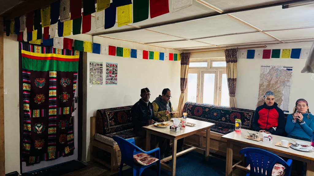
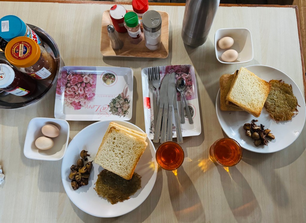
The comfortable room helped having a sound sleep. When the alarm went off, the temptations were to stick to the bed a bit longer. The weather was pleasant but cloudy. The mornings have been cloudy since last few days. When I asked a guide from the French team about possibilities of clearer weather in the coming days, he jokingly said “I’m trying hard for it”. The kitchen staff were already active. When we reached the dining place, it was already buzzing with activities. Trekkers from different groups were in different stages of having their breakfast. Our menu was “American set breakfast”. That translated to bread toast, jam/peanut butter, honey, hash browns (a dish made out of mashed potatoes, resembling the Indian dish if “Aloo tikki”), fried/scrambled eggs, tea/coffee, bacon/sausage and fruit juice. We customized it to exchange bacon/sausage with extra bread toasts. When it was served, it was indeed a candidate for photograph. It drew comparison with the “Everest base camp trekkers breakfast” at Namche Bazar. On both ocassions, it drew awe from us and we enjoyed to the fullest.
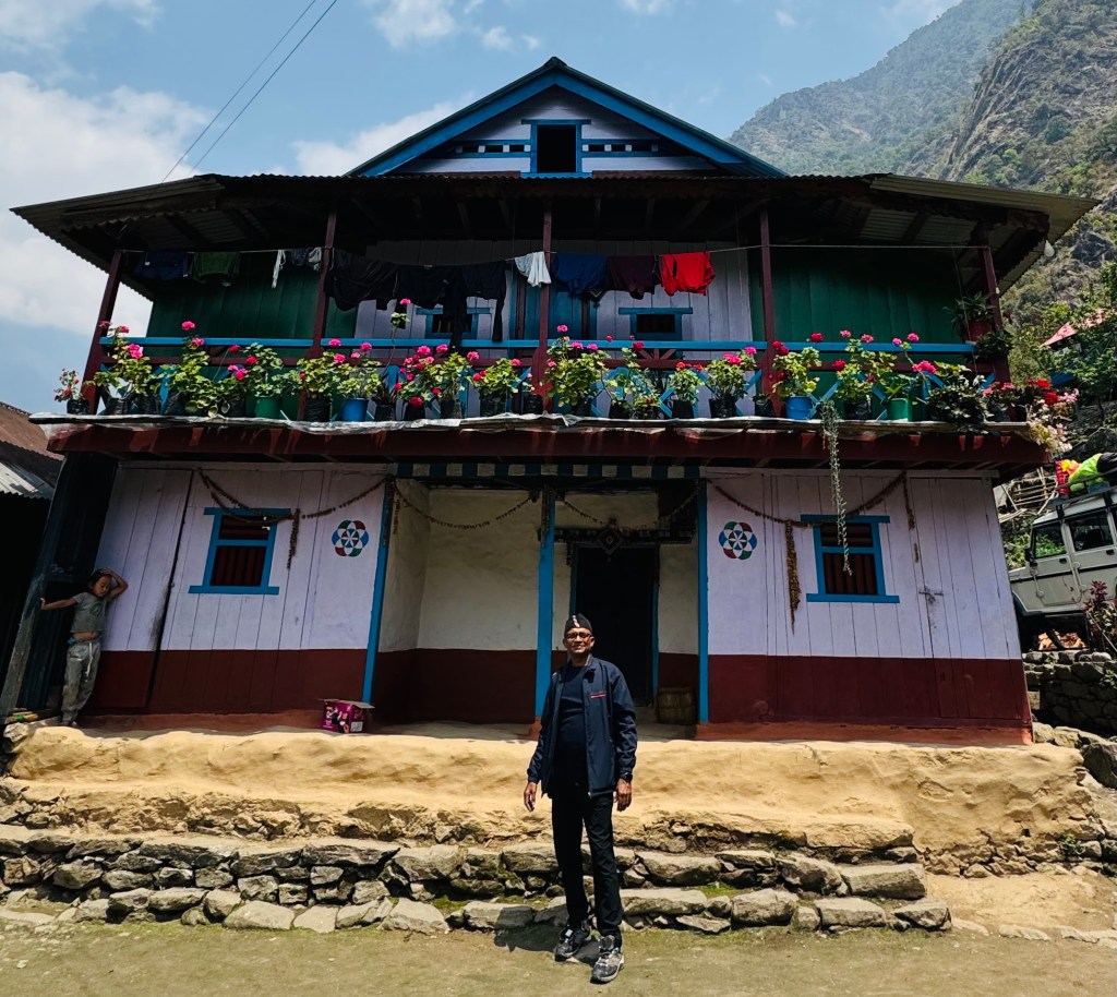
Gyabla got entrenched in our minds and a lot of that had to do with “Shingi Namjong”. It was decided that we were to have lunch at the place on our return journey. On that ocassion, the leg of our journey would be from Ghunsa to Amjilosa. But that changed for better and we got our second chance to stay at Shingi Namjong. Another story for a later date. Sonam bade us goodbye and after a group photograph at the lawn, we started off for Ghunsa. This was what Dilal had to say about the day’s trail on the previous night:
Dilal speach: “We go down, then little up & down (read level), then we up, up and reach Phale. It takes 2 hrs, may be 3 hrs, depend speed. After Phale, flat flat for 2.5 hrs, we crossed bridge and then Ghunsa. I will already book the Dzonga Family House lodge”.
That should roughly translate to 5-6 hours of walk, the initial part of it should involve some uphill climb but the latter half should be a light stroll. Our slated stay was at the lodge which carries the name “Dzonga Family House”.
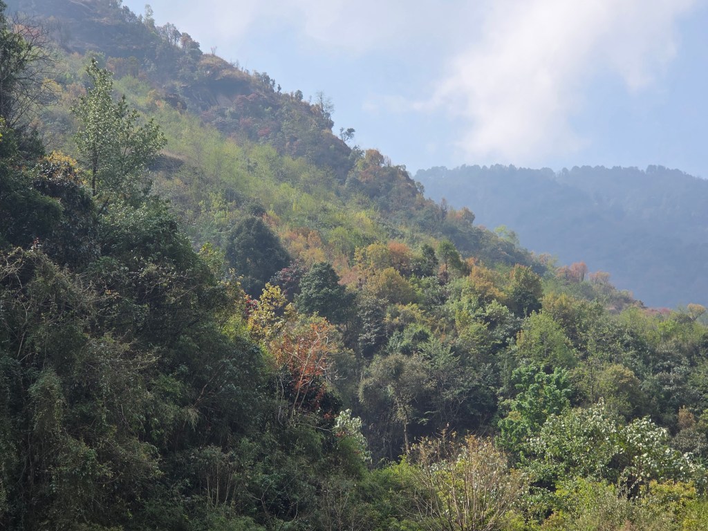
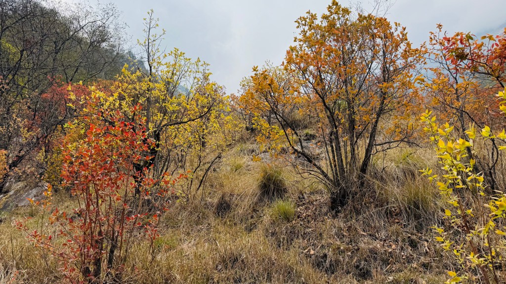
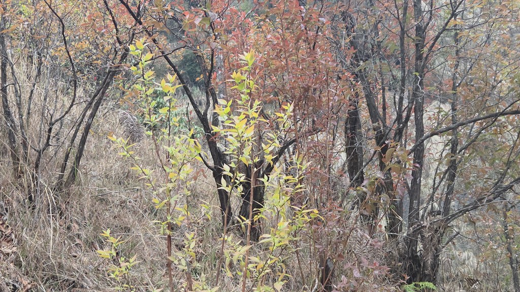
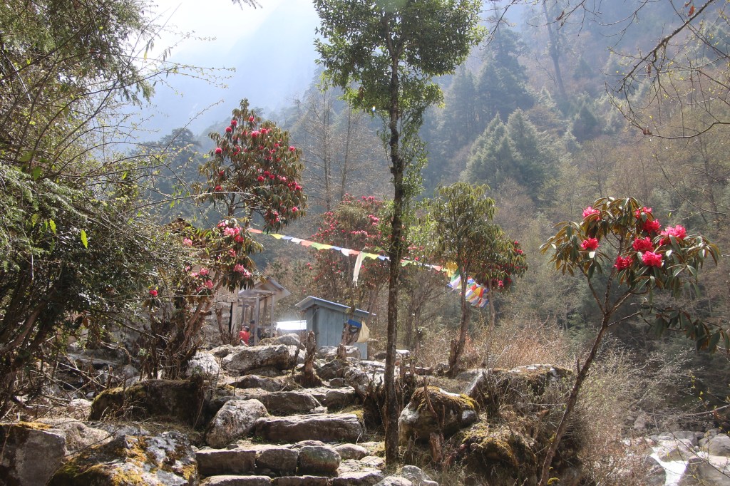
After moving beyond the lawn the trail moved into a field surrounded by bushes and trees with the same colorful foliage which we encountered earlier. They forced us to stop here and there to capture the beauty through our lenses (both human and optical).
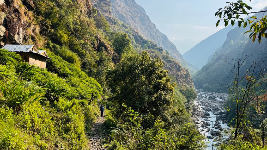
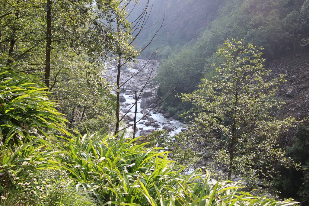
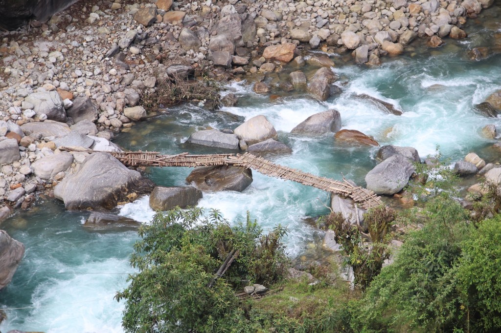
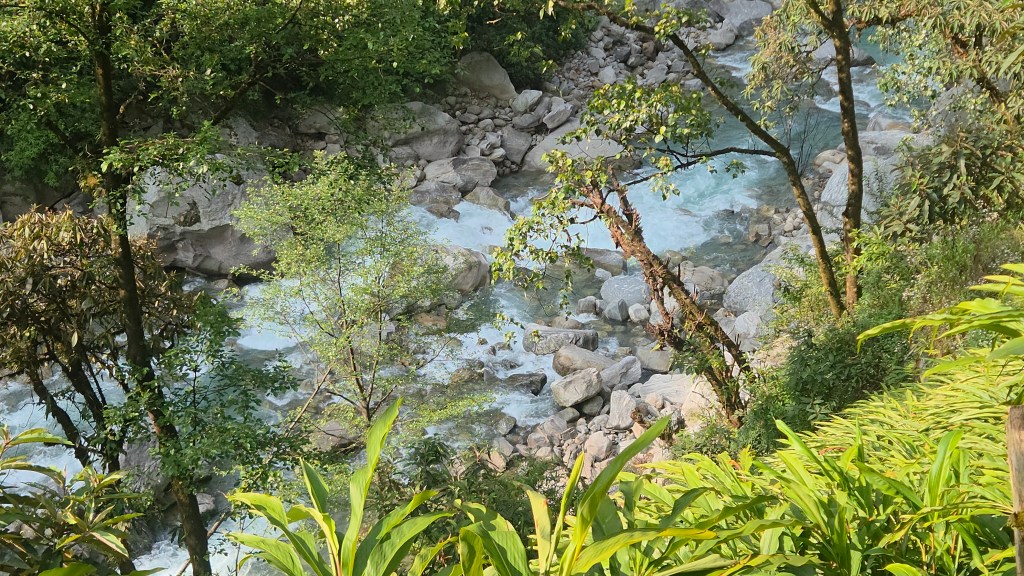
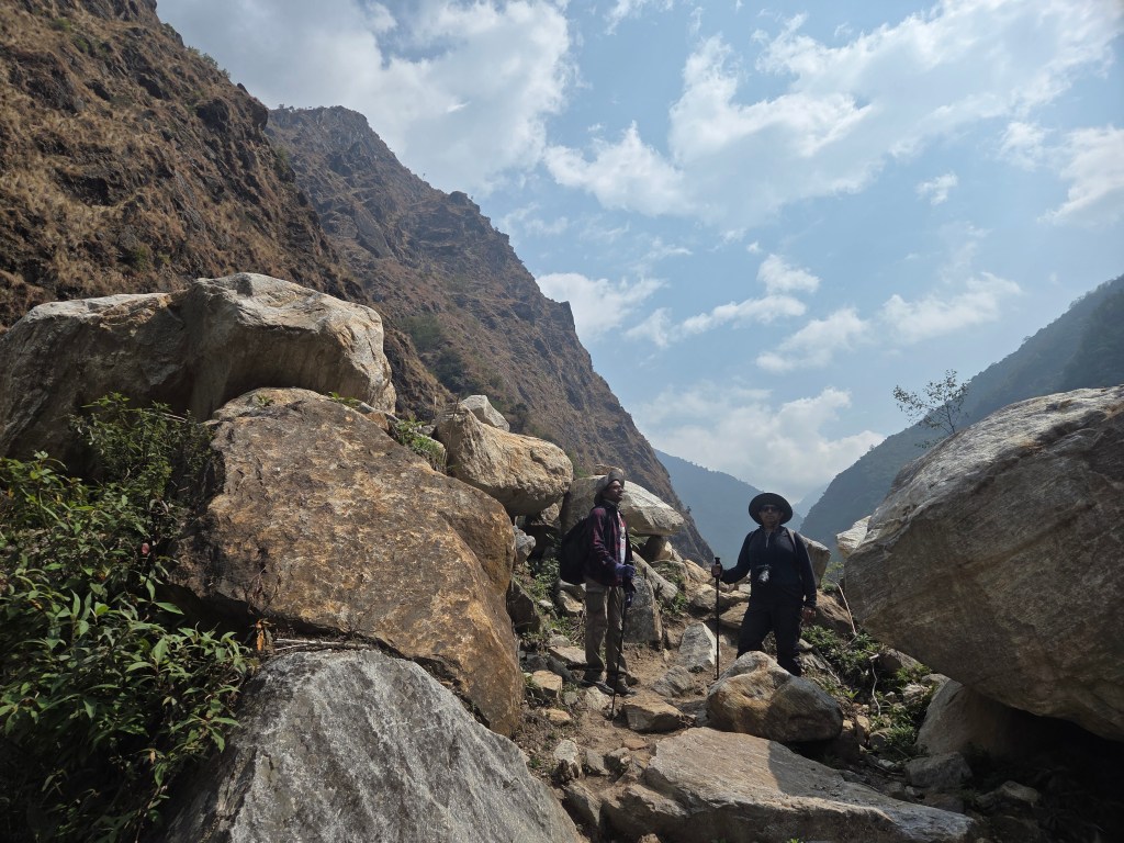
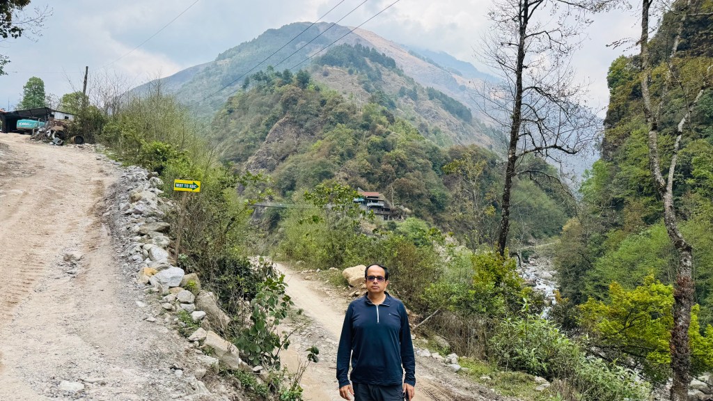
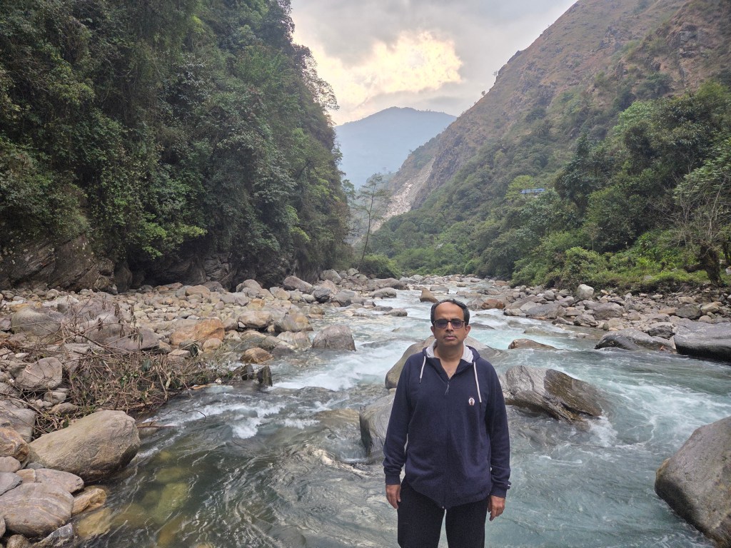
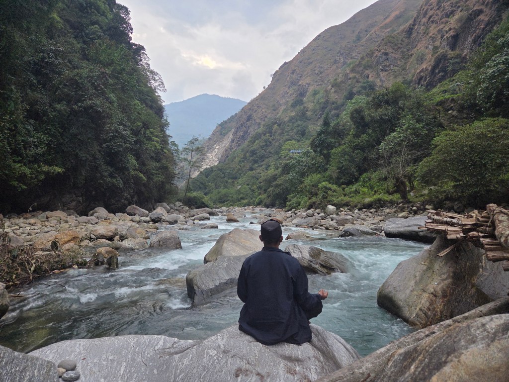
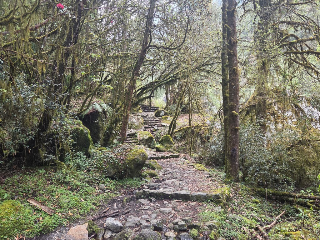
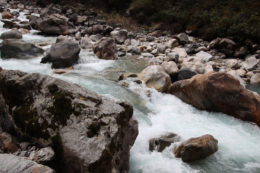
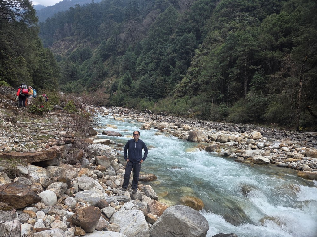
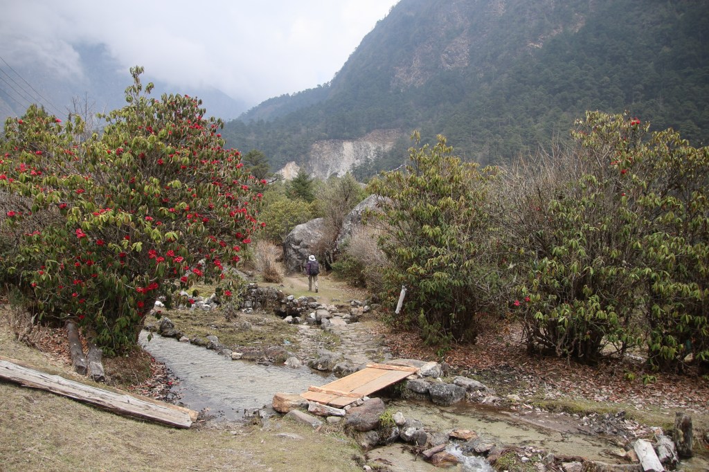
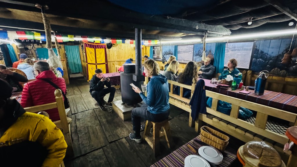
It was a pleasant walk on level ground. Then the track moved downwards. The descent went through a set of stairs. Multiple switchbacks took us down fast to the base of an iron bridge. We crossed a stream and started hiking gradually. The trail moved close to the Ghunsa river. We came closer to its banks. There were many ocassions where we shot videos of the meandering trail under the canopy.
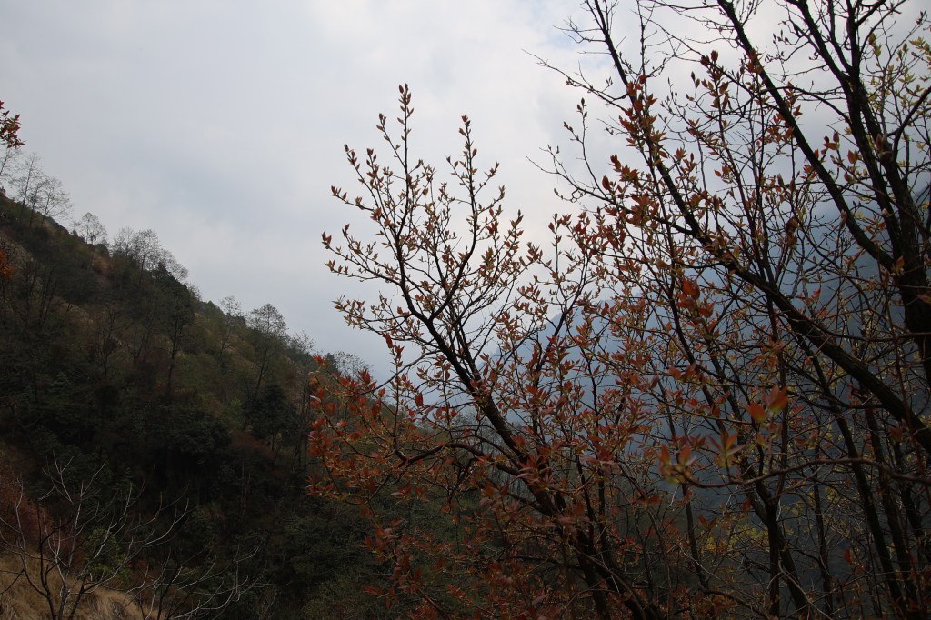
En-route Ghunsa
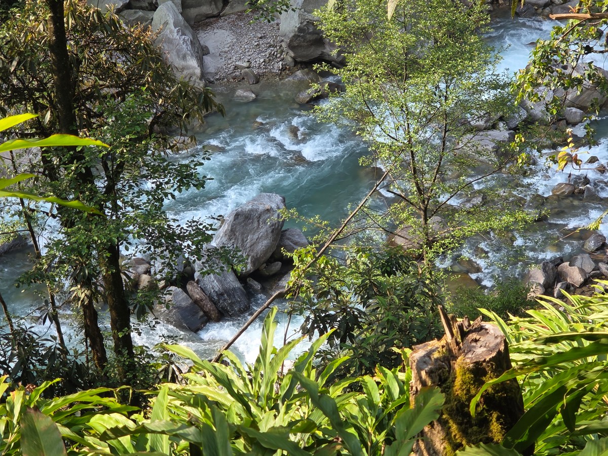
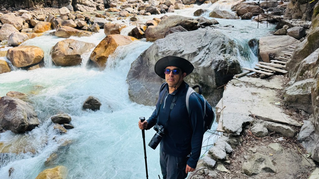
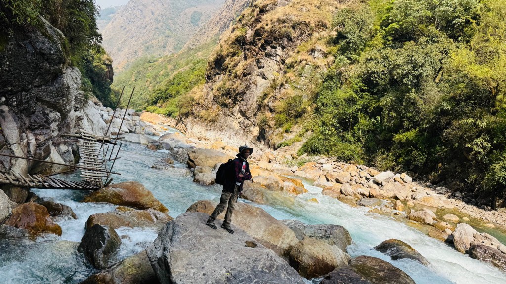
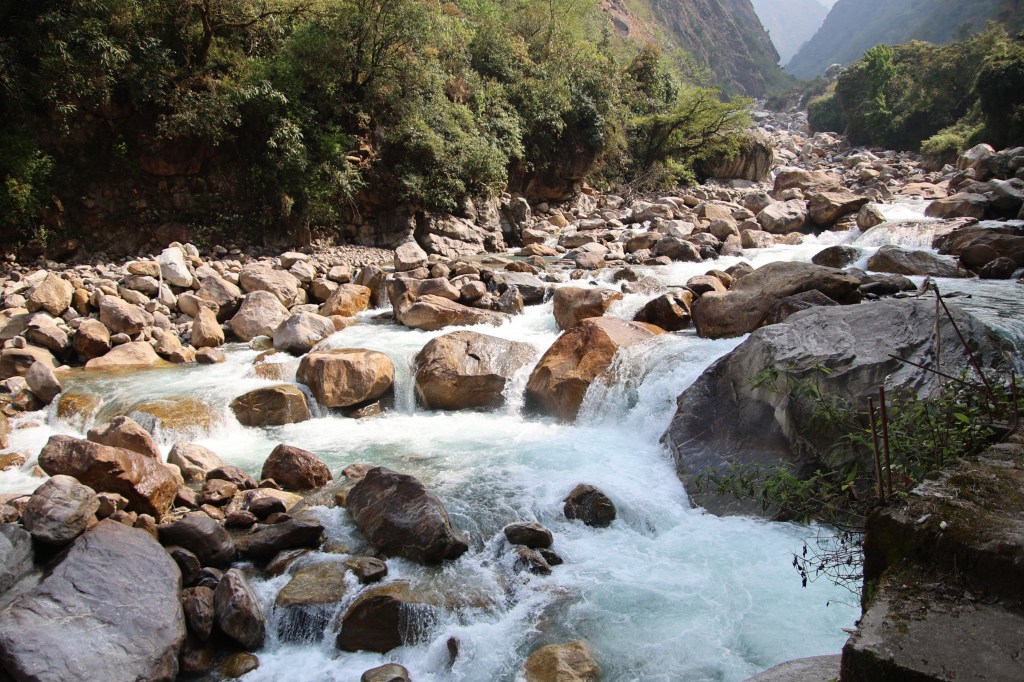
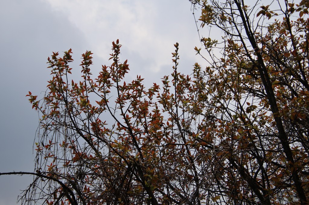
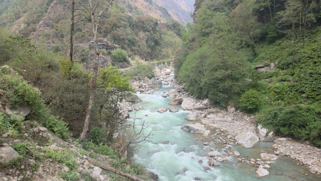
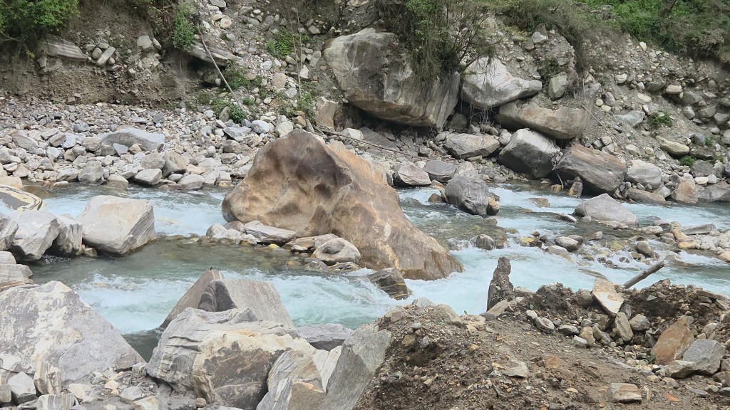
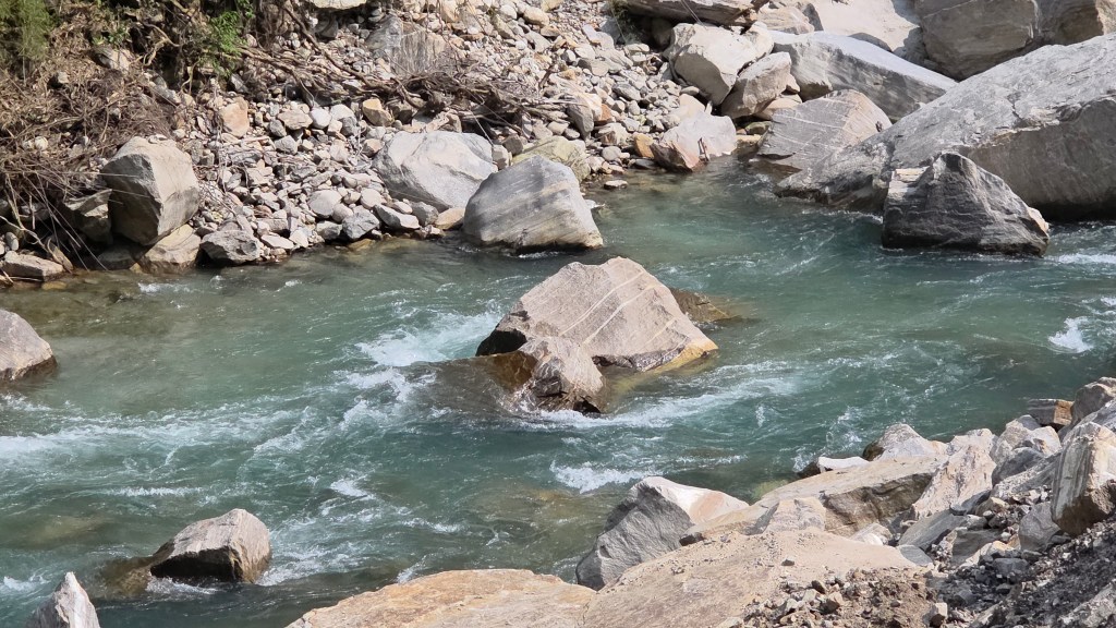
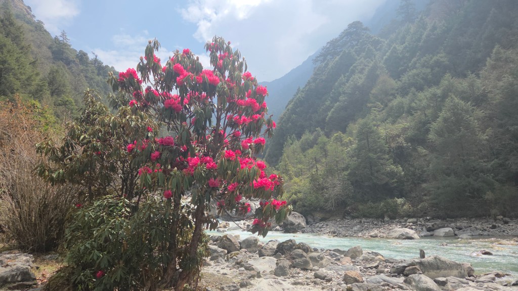
We came out into an open area where the Ghunsa was flowing ferociously below our feet. A set of boulders led into its bed from where we stood on its banks. We couldn't resist the temptations and made our way to the river bed over the boulders. The milky torrent made its way around the boulders to jump into the gorge. The sun was sneaking through the clouds.
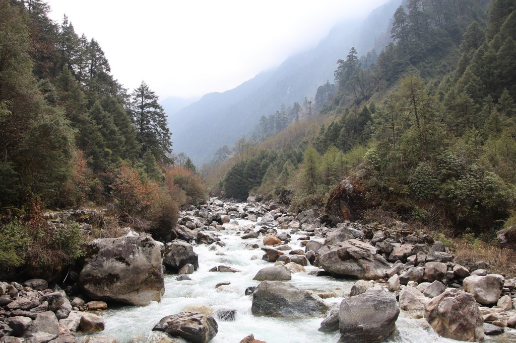
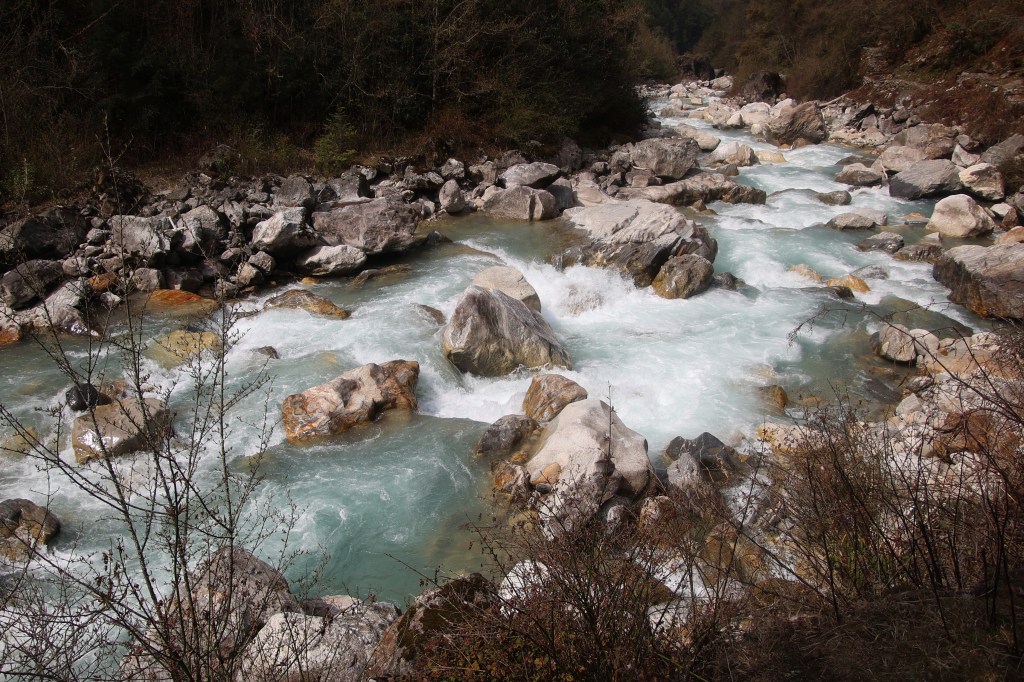
En-route Ghunsa
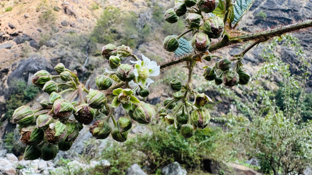
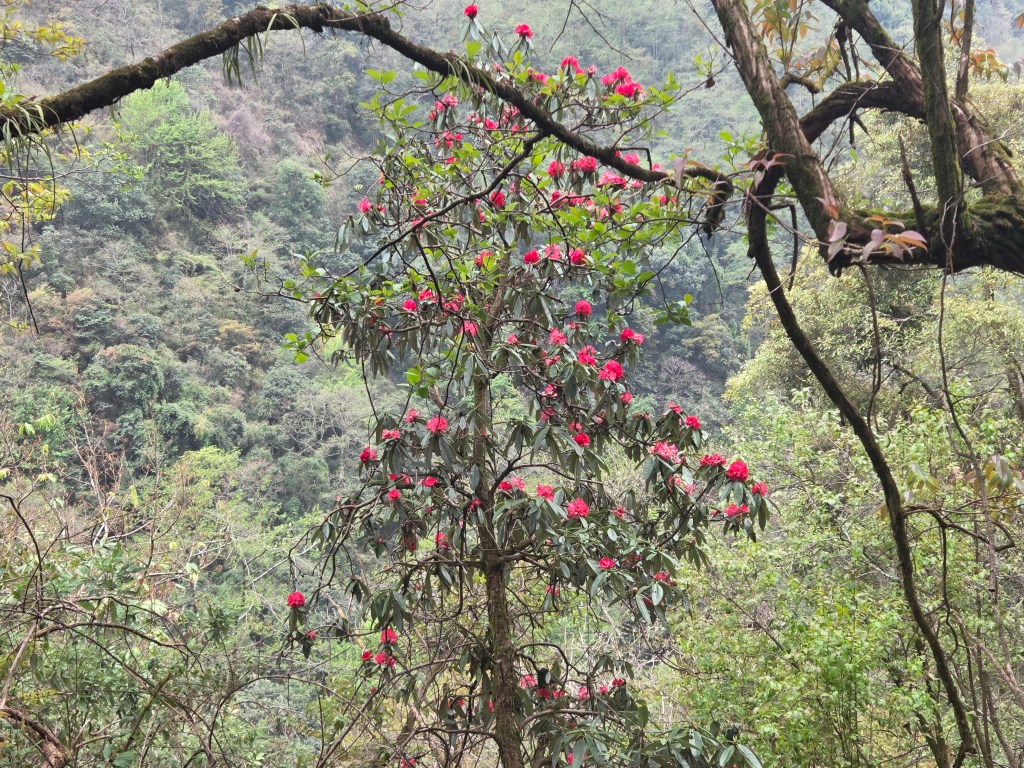
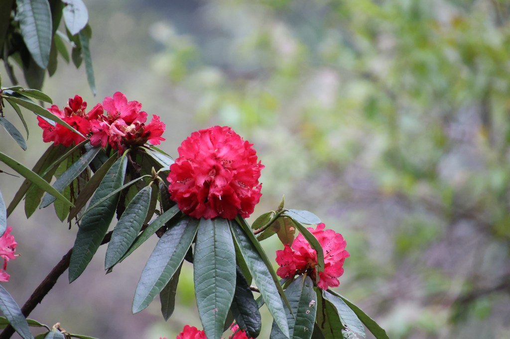
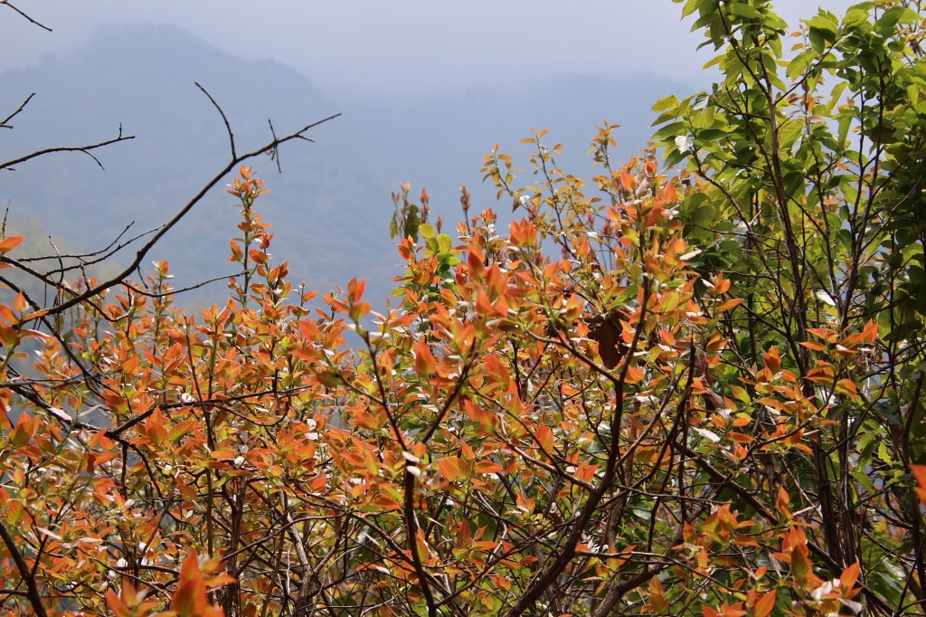
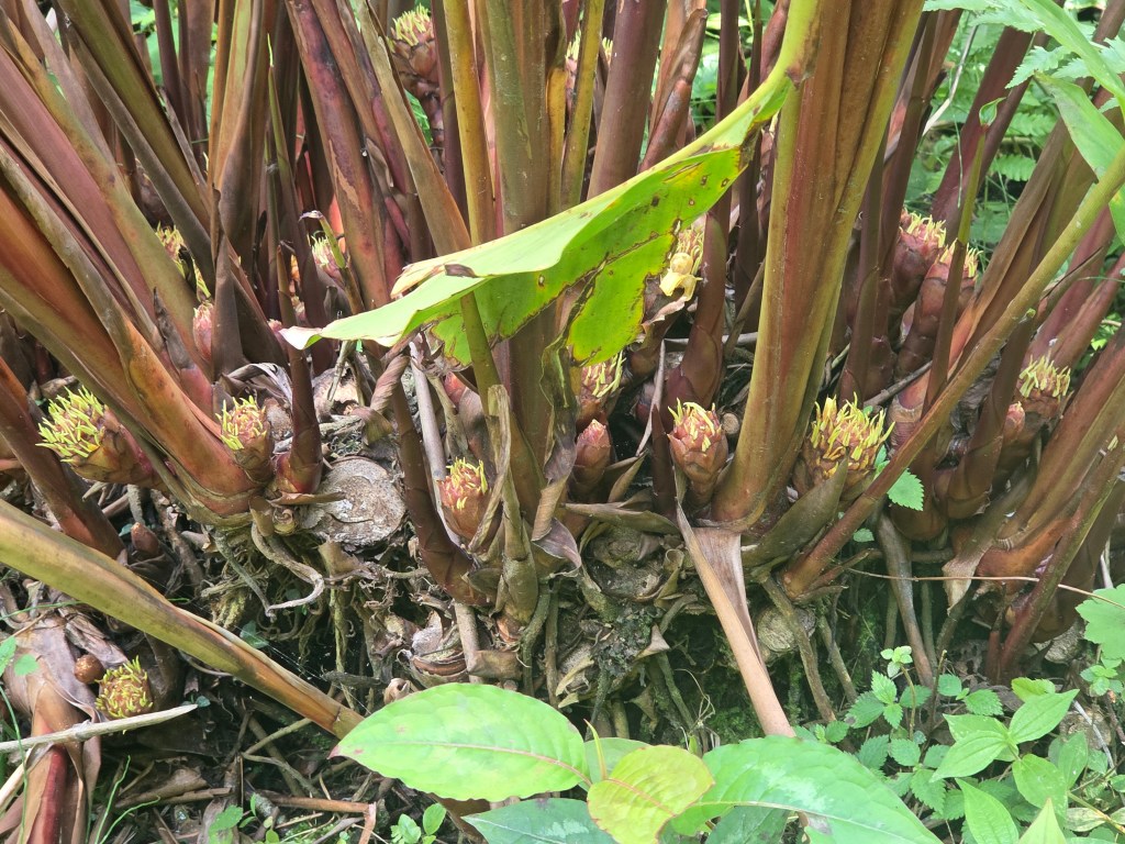
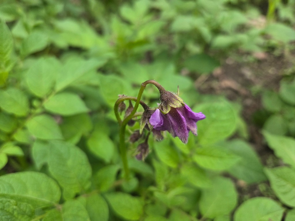
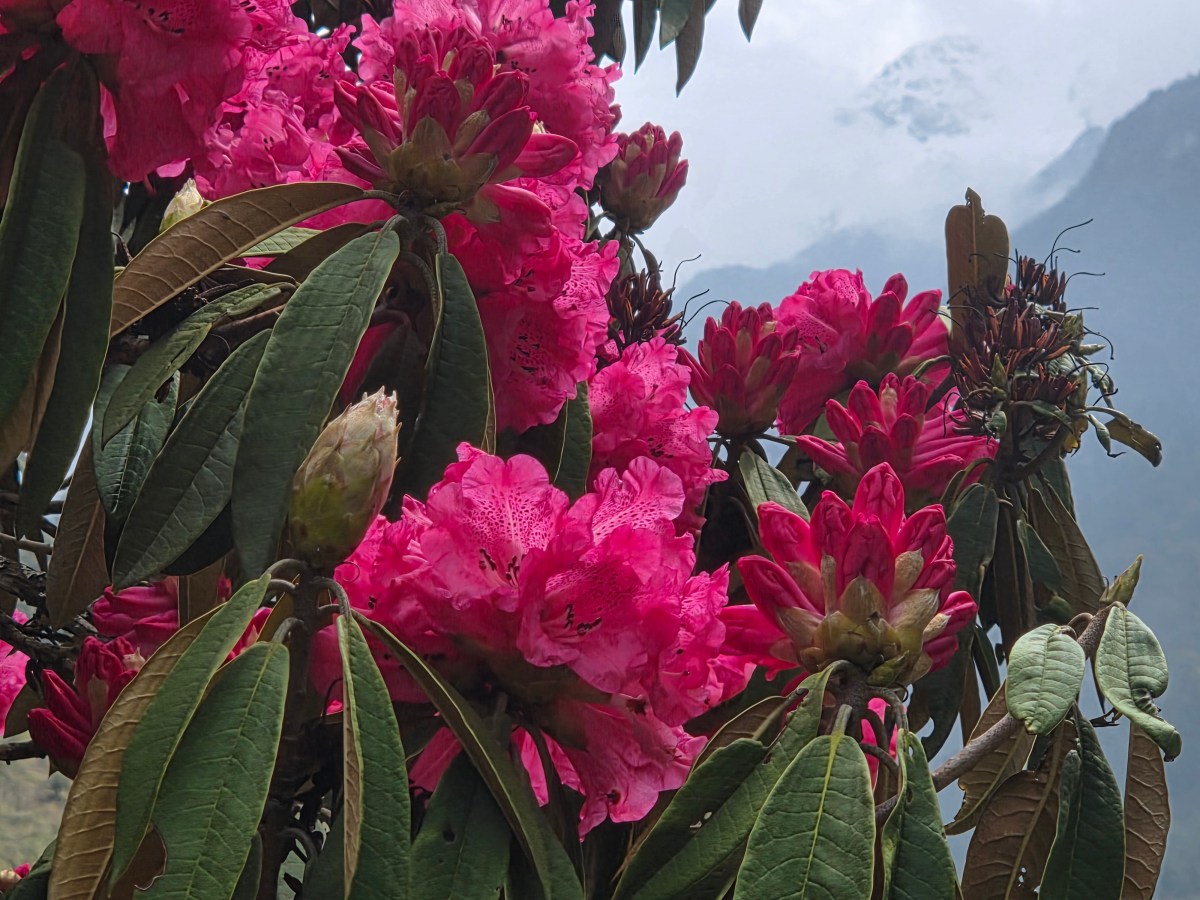
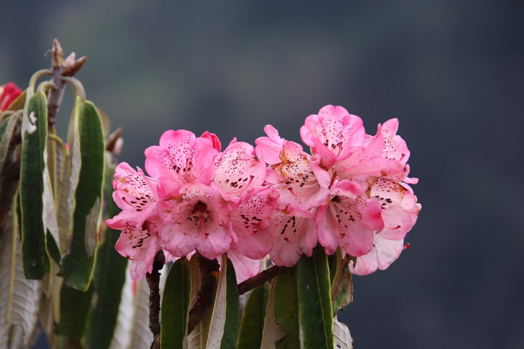
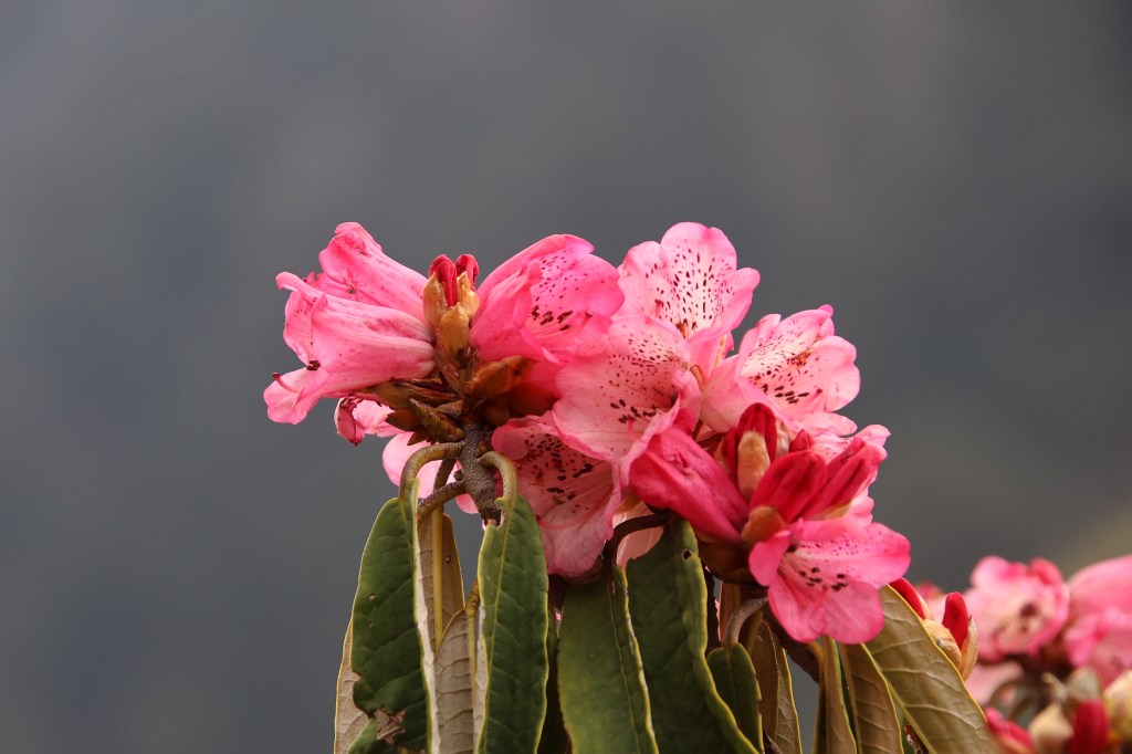
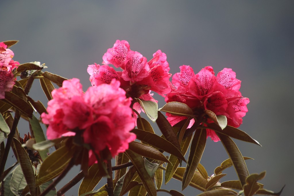
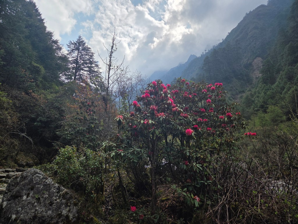
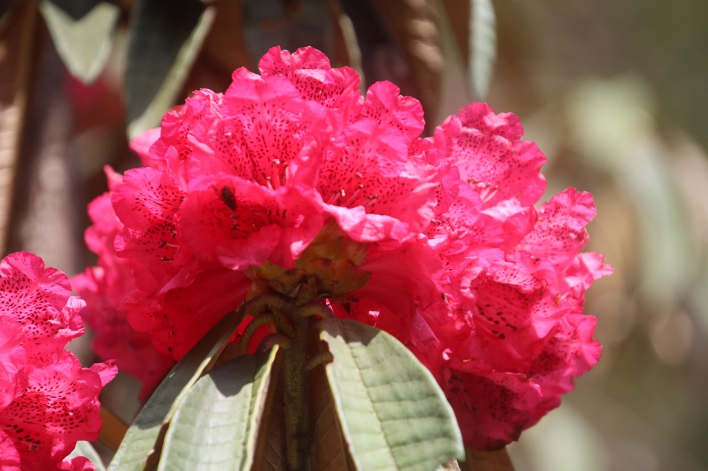
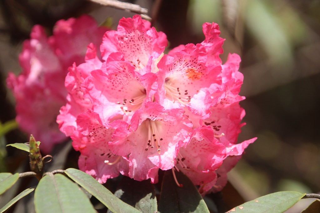
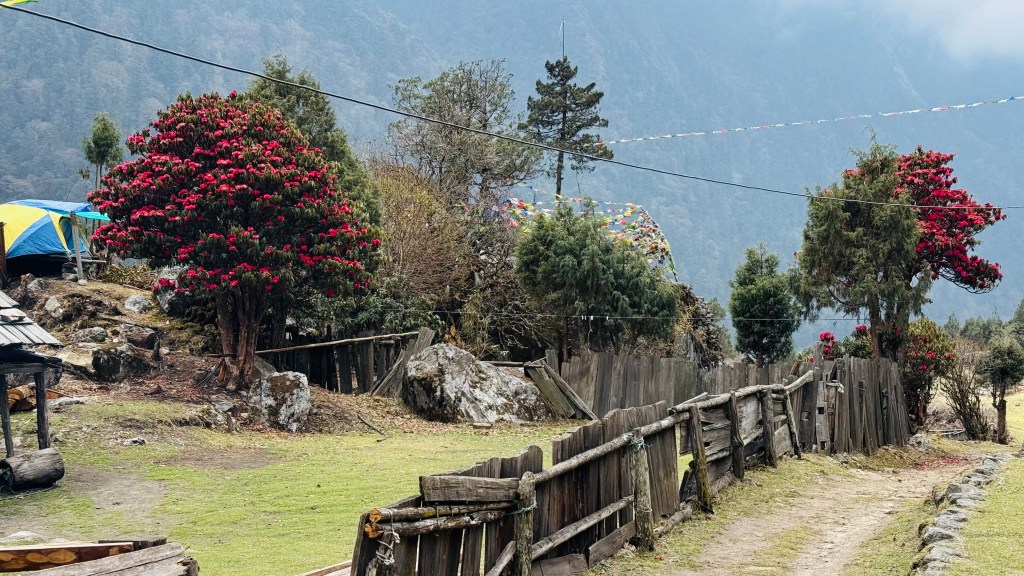
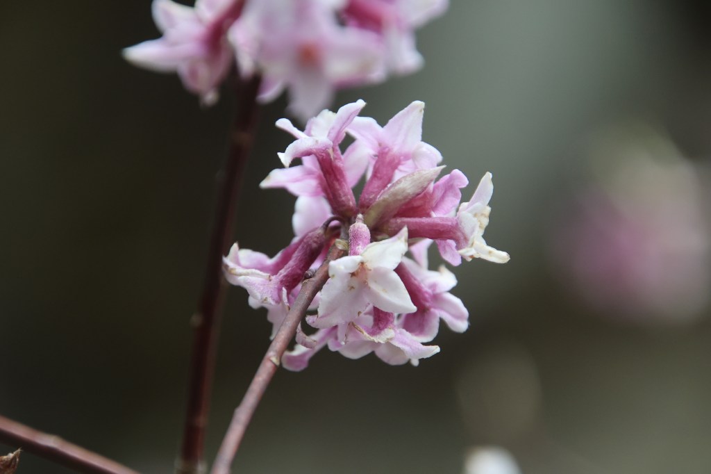
Blooming rhododendrons dotted the banks, floating white clouds made their way through the sky and the valley was at it's best. We forgot about the destination and indulged in photography. But such landscapes seriously expose the limitations of technology. We try as much as possible to capture the beauty through the optical lenses, but they can't capture even a fraction of what gets etched in our memory. As we moved along, the number of rhododendron trees increased. The color was mostly dark pink and scarlet.
En-route Ghunsa
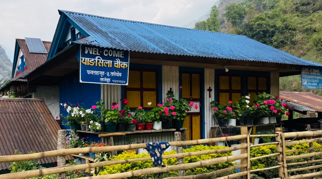
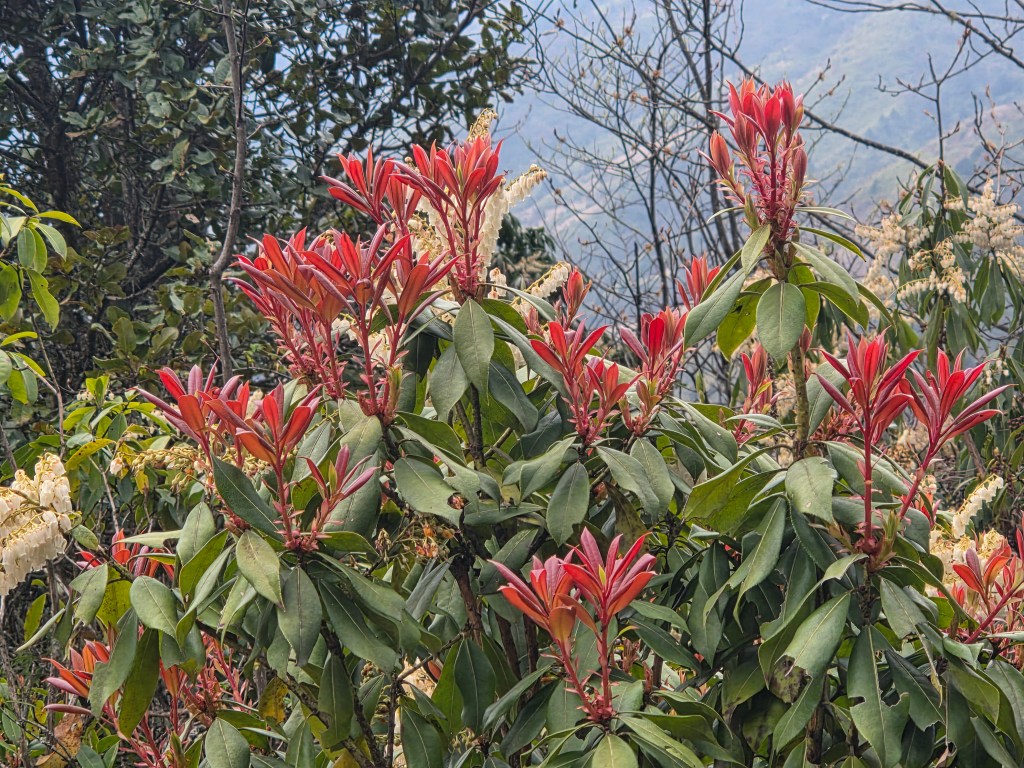
We came across a few tea houses. We stopped there briefly to unstrap our backpacks and gulp down some sips of water. The entire preriphery of the place was surrounded by blooming rhododendron trees. While we quenched our thirst, cool winds brushed our face as we watched the Ghunsa flow through leaps & bounds into the valley below. The sun continued to play hide and seek with the clouds.

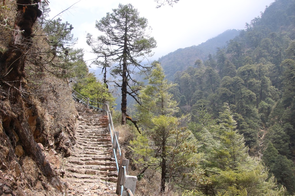
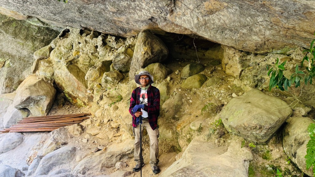
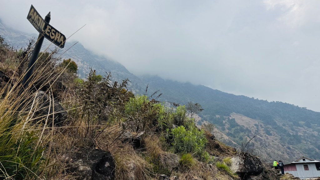
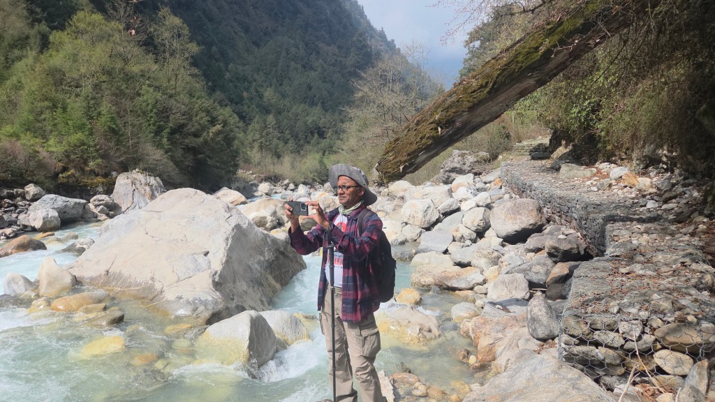
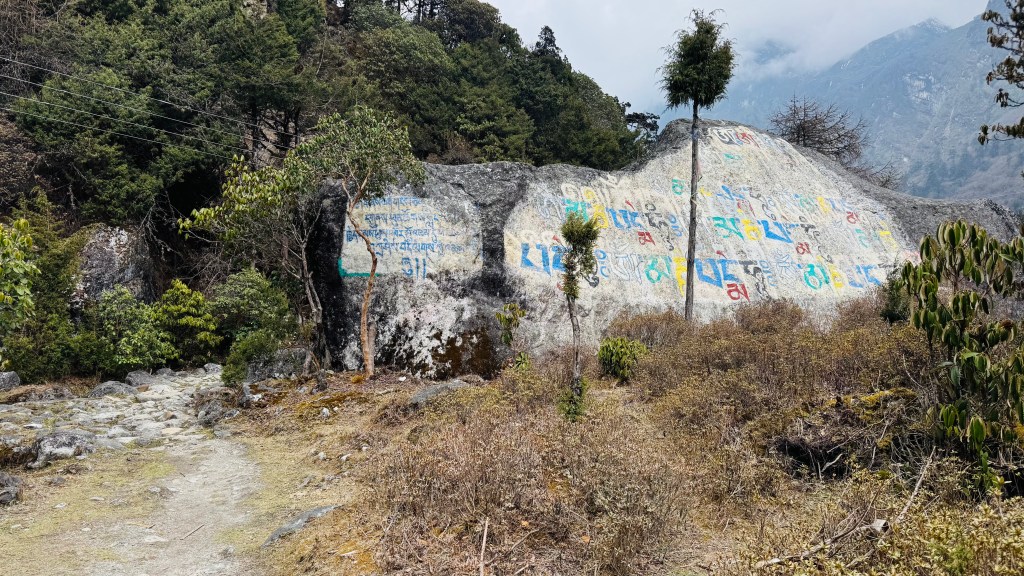
Our track continued beside the Ghunsa river, it gradually started moving up and we found ourselves walking along an exposed ridge. The forests temporarily removed their covers and we reached a point from where a set of rocky staircases moved up. Dilal confirmed that this was the start of our hike to Phale. As soon as we started our hike, forests closed in, the coulds too moved in fast and we found ourselves walking under the shades. Nature did it's best to give us comfort. The steps were a bit high. I felt a slight pain in my right knee. Though still nascent, but it wasn't a good sign. With most of the walking still remaining, this could only increase in intensity. Time for a painkiller tonight. But for the moment, I kept those thoughts at bay and concentrated on the trail. The switchbacks led us to a gate. It was a gate made out of stones and decorated with prayer flags.
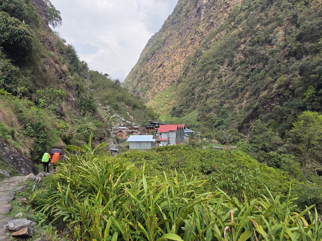
Phale
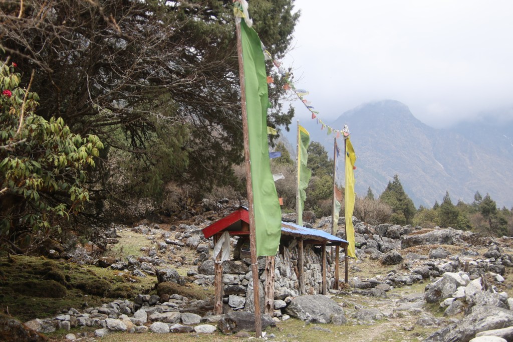
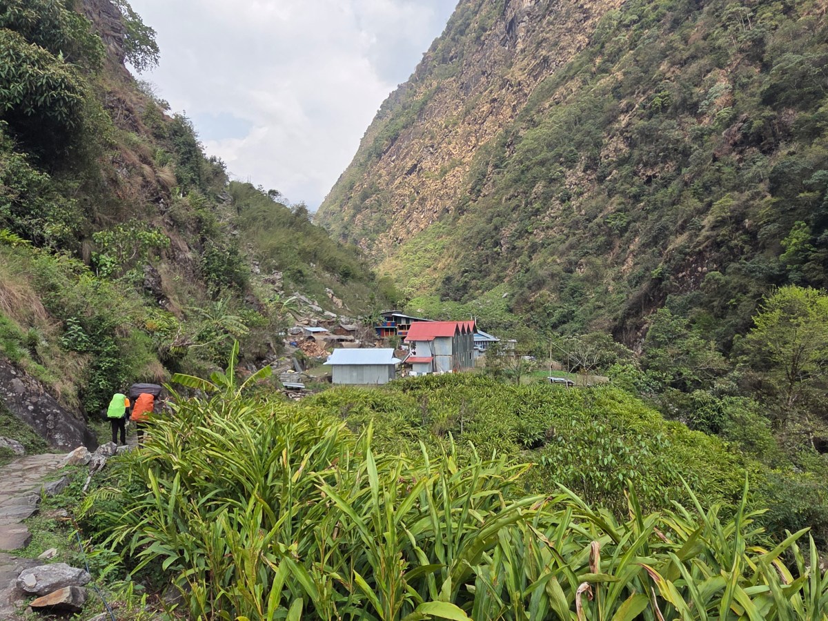
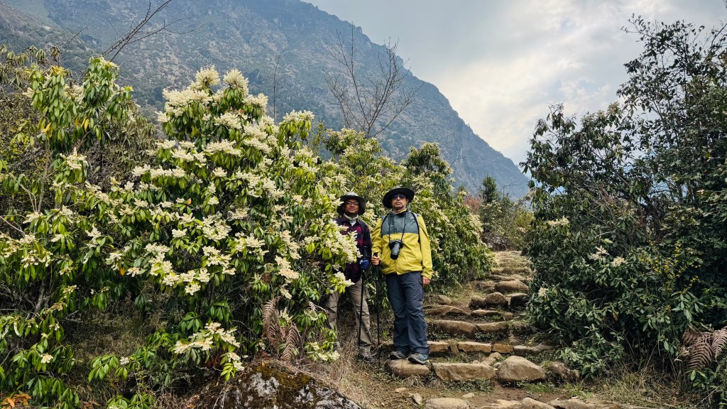
Reaching the place gave us comfort. Going by Dilal's account, this was our last hike for the day. Rest of the route should just be "flat flat". After moving through a forest of rhododendron trees we entered into a wide valley floor. Large fields reached out wide on both sides to reach the bases of distant hills which encircled the valley. A track moved through the middle of the valley floor towards some distant houses. Phale was in our sights. It was a descently large village with a local monastery.
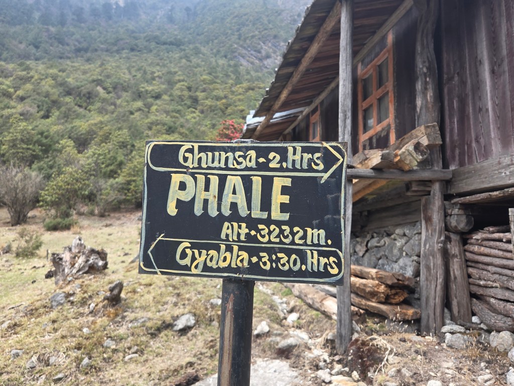
Phale
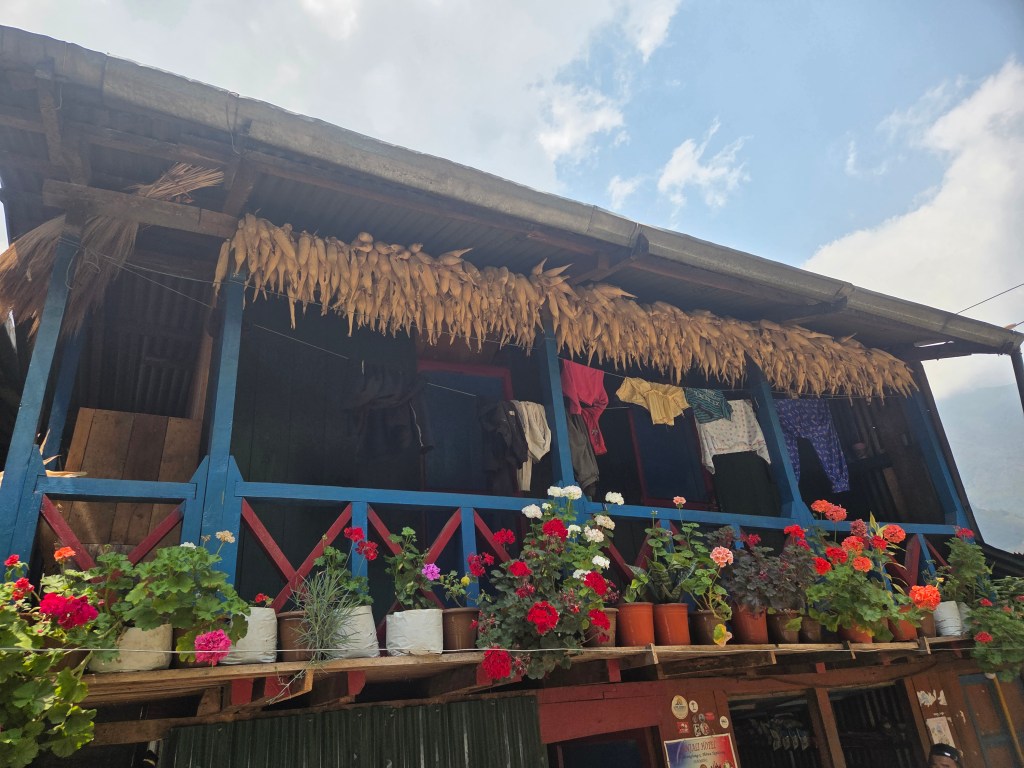
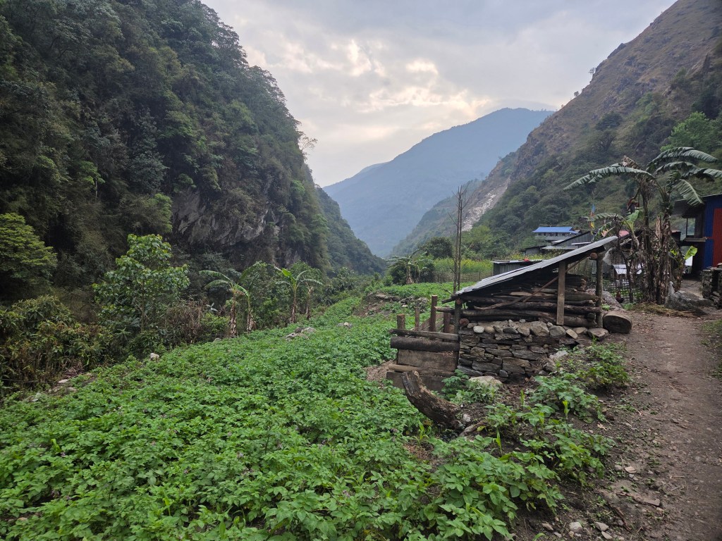
The track moved through an alley. Tea houses and normal huts bordered it on both sides. It was time for some tea. The entrance of the village as well as its exit were guarded by rhododendron trees. Winds started blowing hard under the cloudy sky. That forced me to put on the windcheater. After tea, the track moved on flat ground. Small streams interspersed it at multiple places. One of these were routed to a prayer wheel. It's a common practice to use the energy of flowing streams for different purposes. Rotating prayer wheels is one of them. The track moved under the shade of dwarf rhododendron trees.
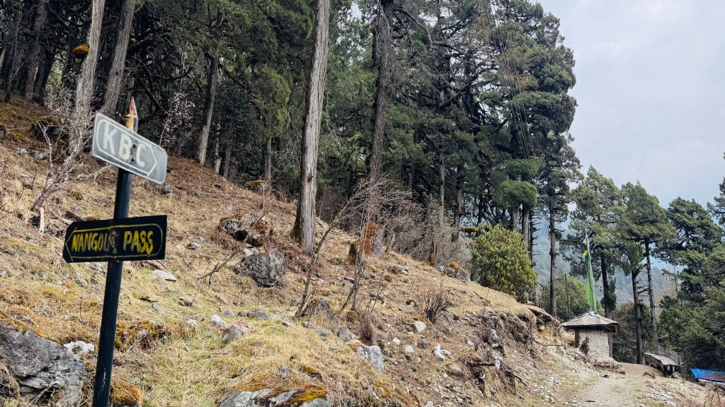
That told us, we gained significant heights from lower reaches where these trees had greater heights. This stroll continued for another hour. The sky was considerably darker than before. I felt a few drops of rain on my exposed hands but Dilal confirmed that raincoats were not needed. The Ghunsa river reappeared beside us and it's stream was not far below the trail. We reached a junction. A sign-board pointed towards left. It read "Nangola pass". It pointed to an uphill trail that went up through rocky staircases. The Nango La (4820 m) serves as a connection between the Kangchenjunga base camp region to the remote village of Olangchung Gola. Another arrow pointed in the forward direction that read "KBC".
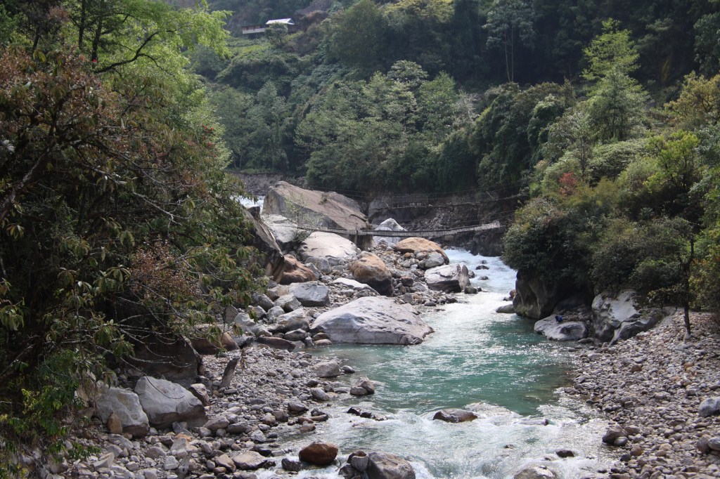
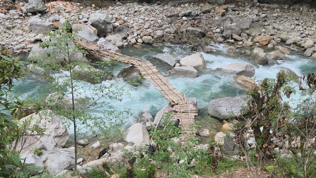
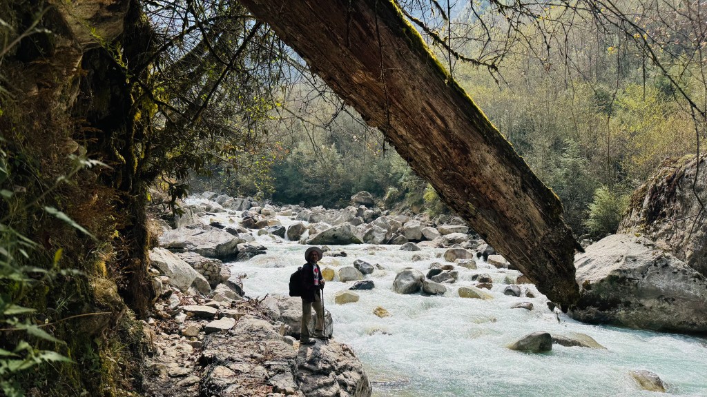
We followed that direction and after sometime the Ghunsa opened up as a wide stream. The trail went through a few landslide areas, some of these were bridged with logs. Beyond a certain distance, a suspension bridge went over its stream. On the other bank, roofs of the lodges were visible. Ghunsa was within our sights.
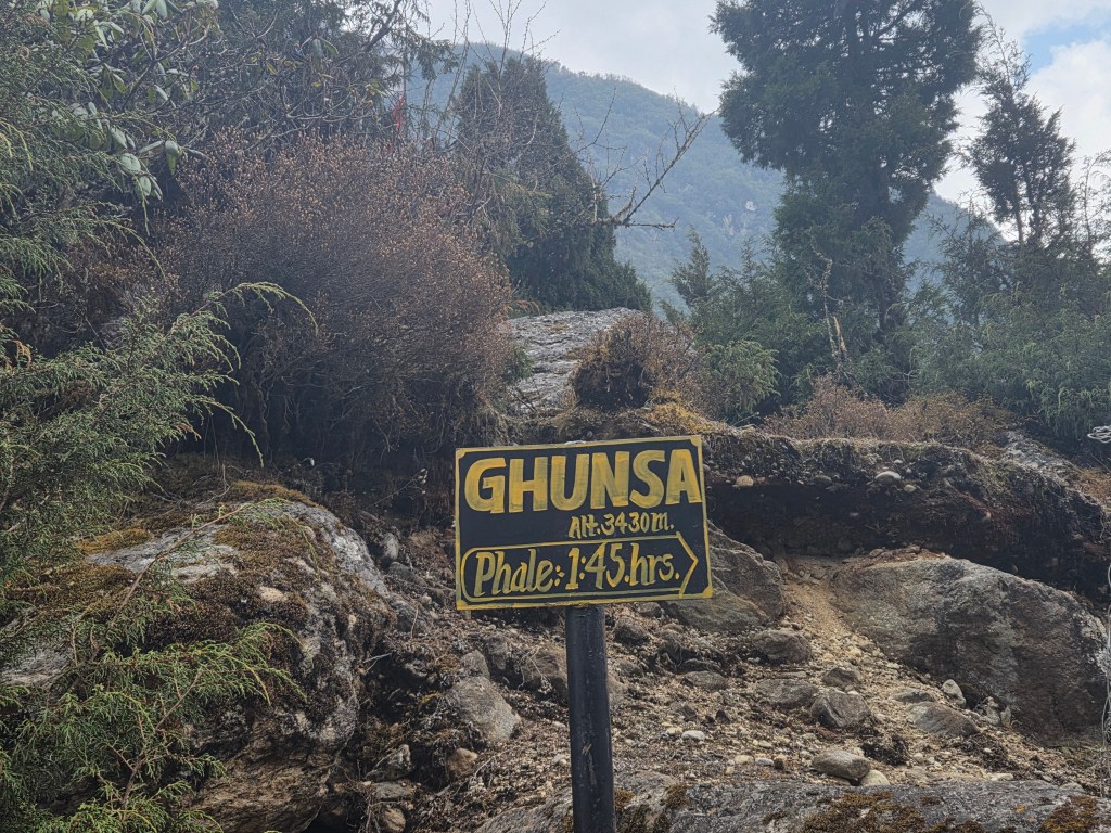
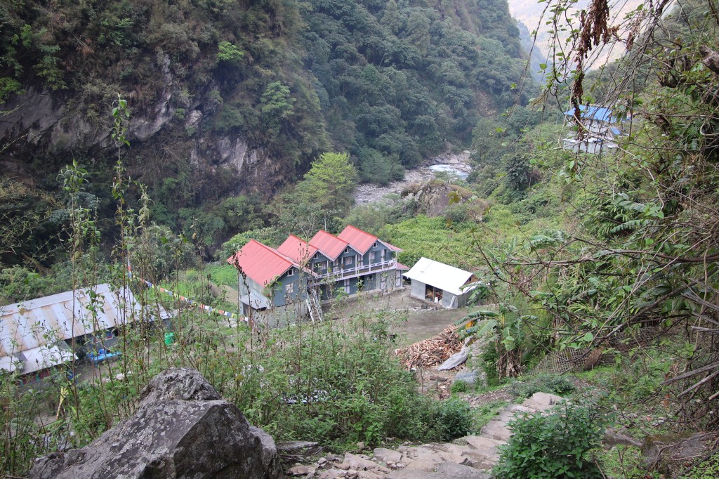
Ghunsa
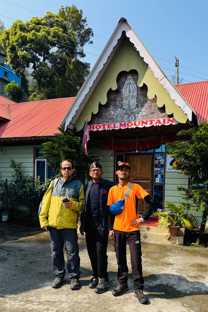
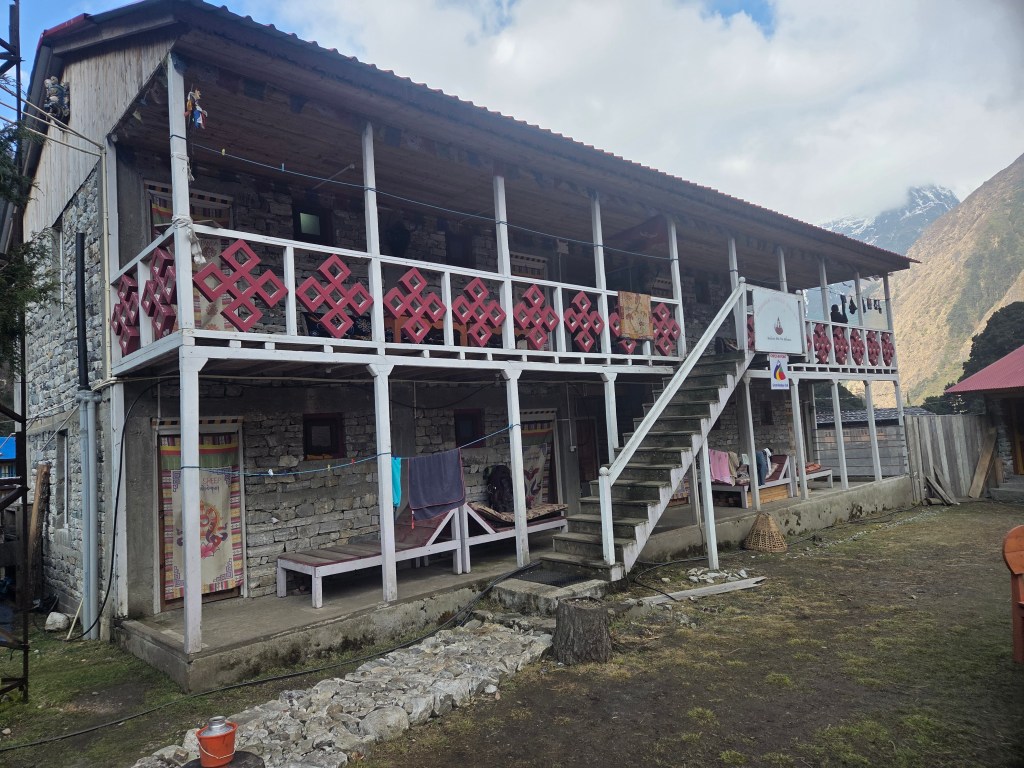
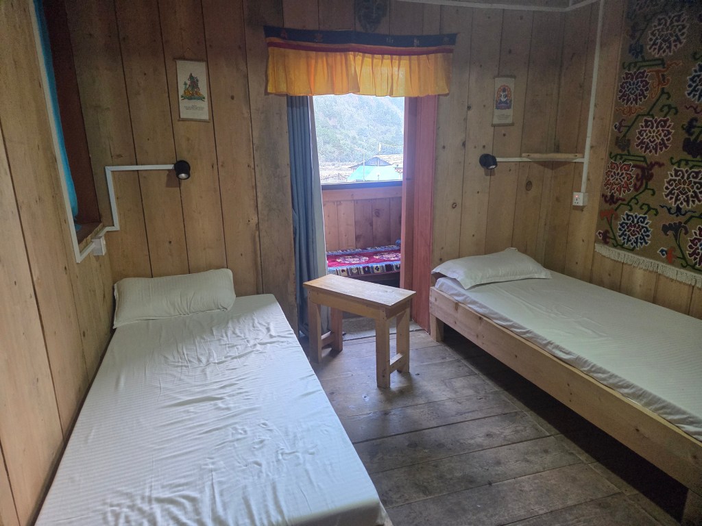
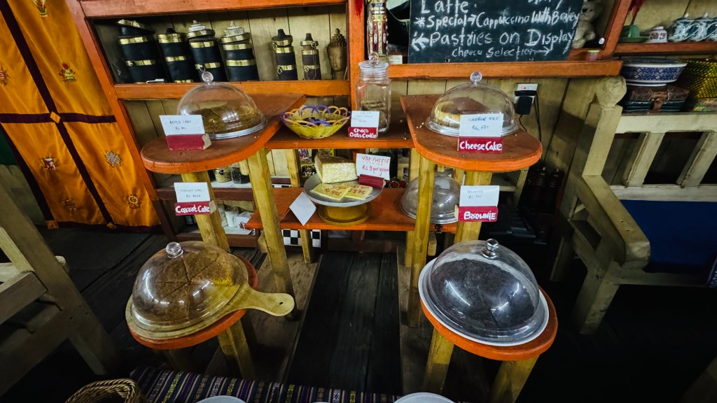
Winds swept us while crossing the bridge. After reaching the other side of the Ghunsa, we went along a narrow alley amidst the cultivation fileds and tea houses. The Dzonga Family House greeted us through its gates. On the right side, there was a two-storeyed house. The top floor was the kitchen and dining place. To our left, another two-storeyed house hosted the living rooms. We were taken to our room and we loved it instantly. Though much smaller in size than the one at Gyabla, it was neat. The beds were evenly laid. It had a balcony and guess what, an attached washroom! For the first time on the trail, we could rise later as we wouldn't have to race for common washrooms. There were charging points and for the first time on the trail, a proper WiFi connection. After changing our clothes, we took the chance to inform our homes about our safe arrivals. Dal bhat awaited us at lunch. Though not as tasty as in Phedi, it was good enough. WiFi was charged at a rate of 750 NPR for every device. For the first time in the trail, warm water was also getting charged. These told us that we were at the last place of stay within the tree-line.
Ghunsa is an important place in this route. It is where the permits get checked (both on the way up and down). Officers of the Kangchenjunga conservation area (which contains the entire route) make entries about every individual in their registers. One the way down, they check the returning travelers ro tally against their entries to ensure there are no instances of disappearance. Dilal went to complete the formalities. Ghunsa is also the place where routes diverge between the north & south base camps of Kangchenjunga. The northern route goes forward via Khambachhen and Lhonak. Another route goes via Selele pass (4390 m), Sinion La (4450 m), Mirgin La (4480 m) and Sinelapche Bhanjyang (4830 m) to reach Cheram. From thereon, one can go to the southern base camp via Ramjer. Trekkers who combine the two base camps, use this route to transfer to the south base camp route. As usual, after lunch, Dhananjoy went out for a village stroll. I declined his offer as the "drying of clothes" occupied my mind. I waited for the fire place to start up. But unlike Gyabla, there weren't many places to sit around, neither enough strings to hang the clothes. The place was much smaller than the one at Gyabla, but that was an unfair comparison. I kept tossing between the tables and the fire place to try and find a place to hang my clothes. The best I could find was a stool. I layed some of my clothes there and the rest on a table that stood quite far from the fire place. Despite changing the face to allow different parts of the clothes have exposure to heat, the best it could give was consolation. I gave up and settled down on the table. Dhananjoy returned from the stroll and filled me with his experiences in the village. He even found time to play volleyball with a Swiss group of travelers! These came along with some rebukes for me being "lazy" and "over-obsessed" with drying of my clothes (there's some truth to this, I have to admit).
Ghunsa
After some negotiations, we convinced Dilal to extend the "Beer line" to include Ghunsa (at the expense of having to include him in the sessions). This was indeed to be our "last" while going up. We stuck to this on the condition that the guideline was to be much more linient while coming down (though the rationale sugests similar guidelines for both - if there's risk in going up the slopes in a "toxic" state, so will it be while coming down as steepness goes eitherways). After beer, it was dinner time and then it was time for
Dilal Speach: "Tomorrow, we go small up and down for 2 hrs, may be 3 hrs, depend speed till Labuk. Some rest, then no tree, only boulder, rock, hike. Open area, landslides. Another 2 hrs, may be 2.5 hrs, depend speed, we reach Khambachen."
It'll take about 5-6 hours to reach Khambachen. But the important thing is that we'd go beyond the tree line into the zone of rocks and boulders and the latter part beyond Labuk is likely to be steeper and possibly, through some landslide zones. We retired to our room after dinner. For a change, I set the alarm at 5.30 AM for the next day. It was still a bit early, as we were slated to start at 7.30 AM. We were sleeping at 3475 m.