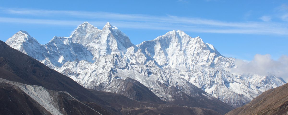
I wondered whether I should wrap up the descent in a single episode, given that all excitement of getting to the close quarters of Kahgchenjunga and its colleagues was now over. But that wouldn’t have been fair for multiple reasons. One obviously being the natural display along the descent, which was quite different than while going up. I also wanted to share my experience of staying at the Singhi Namjong hotel at Gyabla, its hospitality and a sense of cosiness in these remote corners of the world. I also had the fortune of learning about how mountaineering expeditions are conducted and its operational challenges. For my case, the surprises weren’t over till the last day of my departure. My plans for the return journey went for a toss. That’s a story of its own.
22nd April, 2026
It was time to bid goodbye to Khambachhen. Our plan was to descend to Ghunsa as quickly as possible. From there, it’d take about 1 hr 45 mins to reach Phale. We’d have lunch there. Another 2 hours of descent should take us to Gyabla. The descent from Khambachhen to Ghunsa shouldn’t take more than 3.5 hours. While we were a bit sad to leave Khambachhen, but there was some joy and relief too, at the prospects of reaching under tree line and more importantly, reaching Gyabla. Staying at our favorite hotel Singhi Namjong was exciting. Because of the comfort, added with the feeling of having completed our mission, it was expected to be an enjoyable stay at Gyabla. The reason we were a bit sad to leave Khambachhen was the cordial behavior of the hosts. We had most of our conversations with Didi (Nupu’s wife). On our way up, we asked why they didn’t have bread toasts on their breakfast menu, while it was available at Ghunsa (a lodge owned by Nupu’s brother). She jokingly replied that her sister in law didn’t share the recipe with her! When we asked the reason, she was prompt in her reply, “jealousy!”. Everyone at the dining space burst into laughter, including her father in law. We’d miss that warmth. The mountains blessed us with the sunrise views once again. We started off at 6.30 after breakfast, bidding goodbye to Nupu and Didi. After crossing the lawn, we crossed over the flowing streams over a small wooden bridge. To our left, yaks were grazing. Though vegetation is scarce in Khambachhen, patches of fresh green grass are there, beside the flowing streams. The yaks dipped their mouths in them and devoured the grass. A baby yak followed its mother wherever she went.
Khambachhen
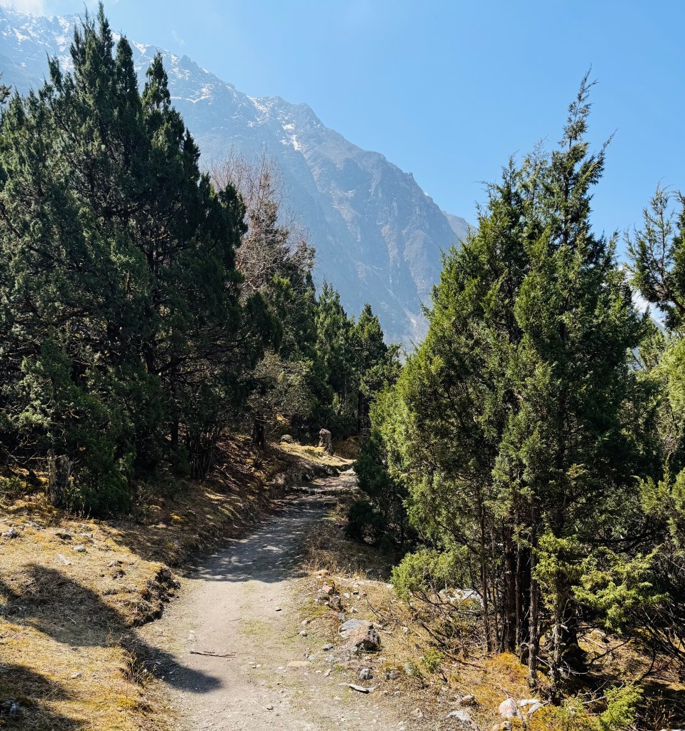
We started moving up a gradual incline to move out of the valley. After reaching the sign board which welcomes people to Khambachhen, I turned around to have a final look at the lodges. Staying more than one night at a place is rare on treks. It only happens at the place where one goes through acclimatization. We spent 3 nights here. Hence it stayed on my mind a bit more than others. I also turned around towards the north. The trail towards Lhonak and further on to Pangpema appeared like a string lying along the left slopes of the Ghunsa river. On turning right, an easy stroll followed by a minor hike led us to the start of the suspension bridge. Mt Jannu dominated the skies on the left. The winding trail to its base camp was also visible. It revived the memories of our journey to its interiors. As we started crossing the Ghunsa, the morning breeze swept our faces. After reaching the other side, we turned right from the sign-board showing directions to two diverging paths. One going left towards the "Phaktanglung base camp" of Mt Jannu and the other we just came along. The trail on the right moved upwards in its winding ways. When I turned back, the lodges of Khambachhen were already out of sight. I had my windcheater on. We slowly climbed the staircases. The slope was gradual and then, as anticipated, the trail reached a broken end and the landslide area started. On our way up, this caused nervousness, but now it seemed manageable. I navigated carefully through the narrow track of pebbles and dust. On the further end, I could see the trail reaching a bend, which had an iron pole. Beyond that, the normal trail would resume. Some careful steps led us to that point. We stood there and cast a look back at the landslide. I stopped for sometime to take off my windcheater as the sun was fully up and was weighing down on our bodies. We took the opportunity to gulp down some sips of water and pop lozenges into our mouths. The staircases resumed. As the slopes were gentle, the length of the stairs were long. Unlike while going up, breathing was easier as we kept losing height, moving into areas with increasing oxygen levels. We could now see the woods in the lower areas. Somewhere down the line, there's Labuk, beyond which, the trail becomes more or less gradual. The poles reappeared with prayer flags. Then came the sign-board for the viewpoint where we saw Mt Jannu for the first time (on our way up) - the Phaktanglung view point. We bade goodbye to the mountain. The vast expanse of boulders was gradually coming to an end as trees started reappearing. Their heights were smaller but the canopy started to form above our heads. After sometime, we reached the place of worship, Hajare. We passed by the birch trees. Their skins hung around, which exposed the interiors of their barks. The Ghunsa kept flowing in leaps and bounds beside the trail. The day was still bright and the vegetation was shining. After Hazare, the density of the forests increased. It was refreshing to move under the tree line. The landscape in the Himalayas are distinct in lower and upper regions. They almost seem like two different climes. The dense greenery, flowing torrents and flowers in the lower regions transform into monochrome ruggedness of boulders, snow and glacial moraines in the upper regions. While the close ups of awe inspiring mountains, their ice falls and the glaciers overwhelm us, but the eyes get their relaxation once greenery appears. That's what was happening with us on our way down. After sometime, we came out in the opening of Labuk. Labuk lay almost at the border between the lower and upper landscapes of the trail. One could roughly say, it marked the transition between sub-alpine and alpine zones of the Himalayas in this region. The trail now moved gradually along the banks of the Ghunsa. One or two rhododendron trees started appearing.
En-route Ghunsa
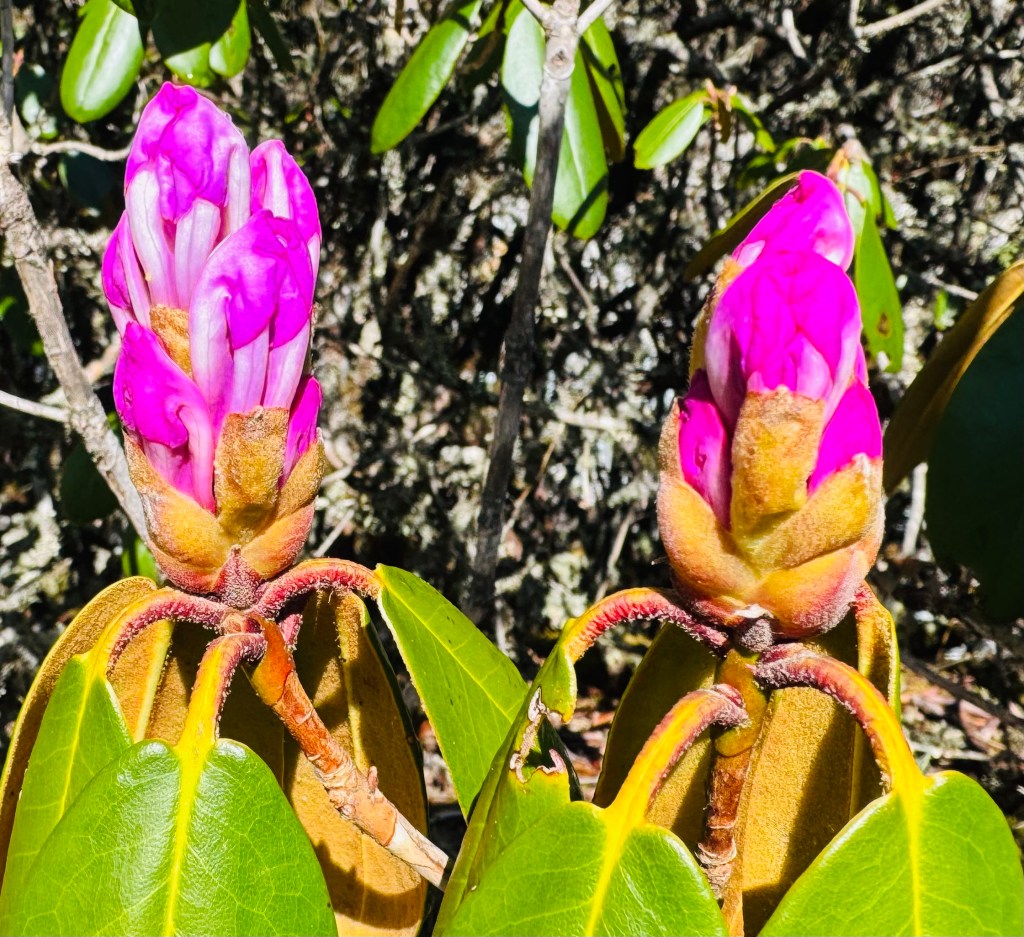
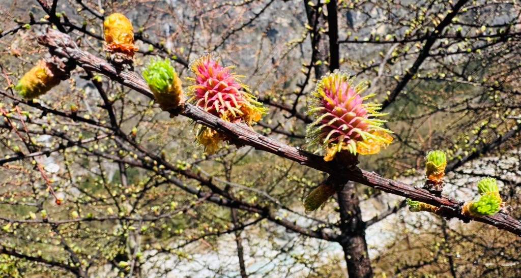
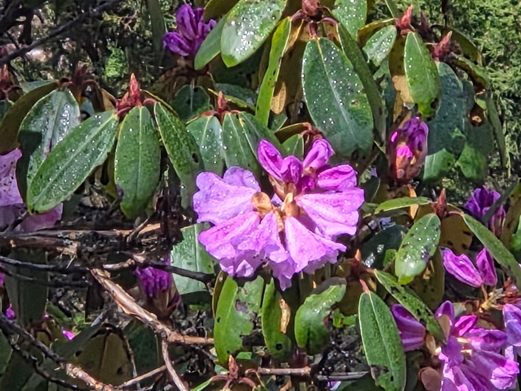
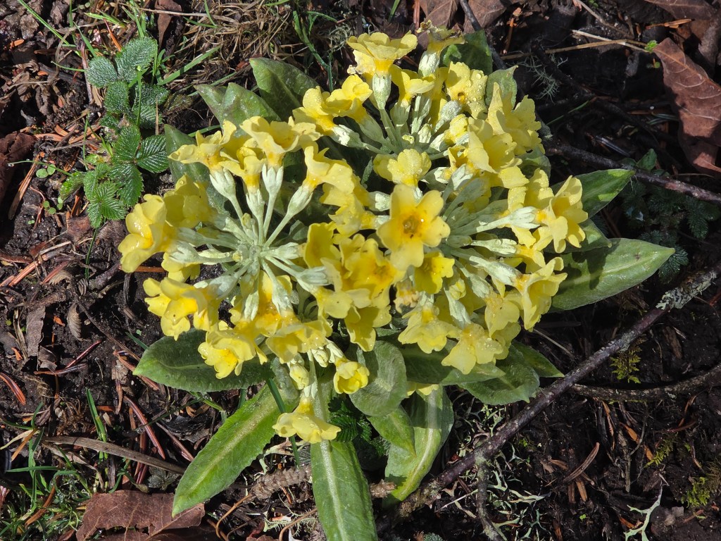
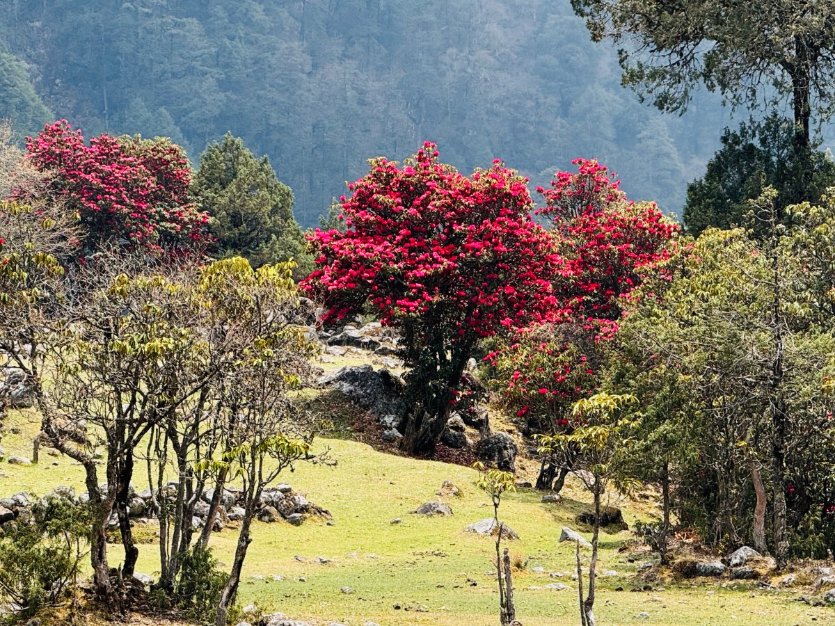
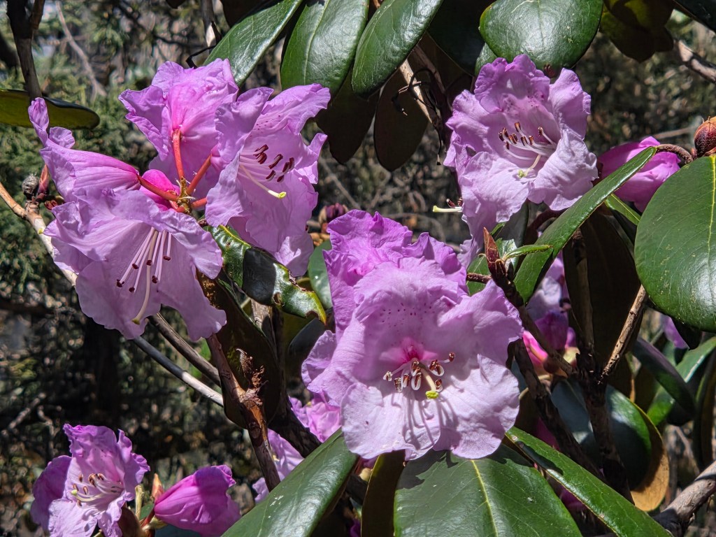
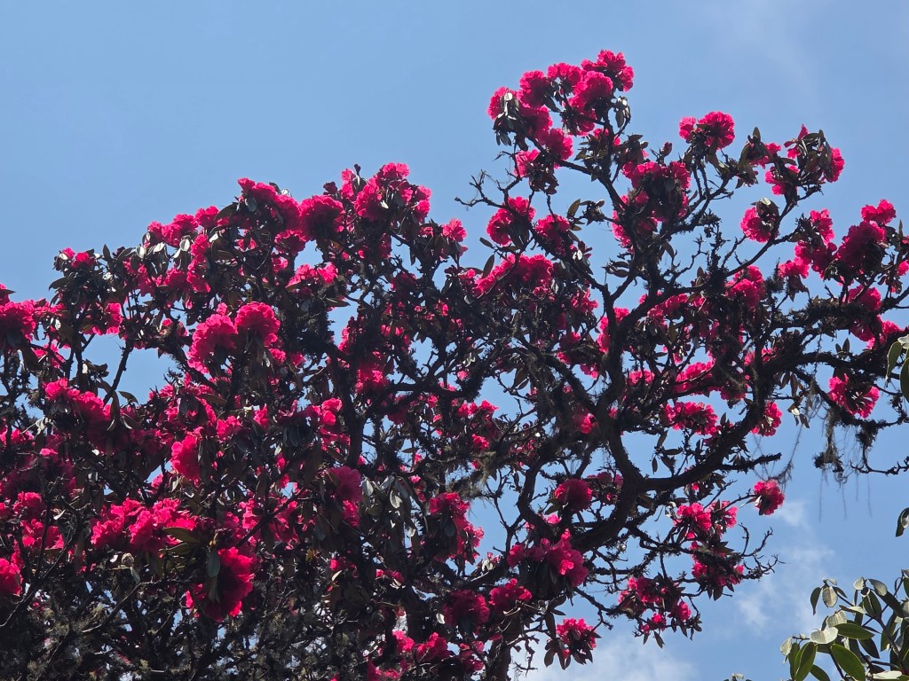
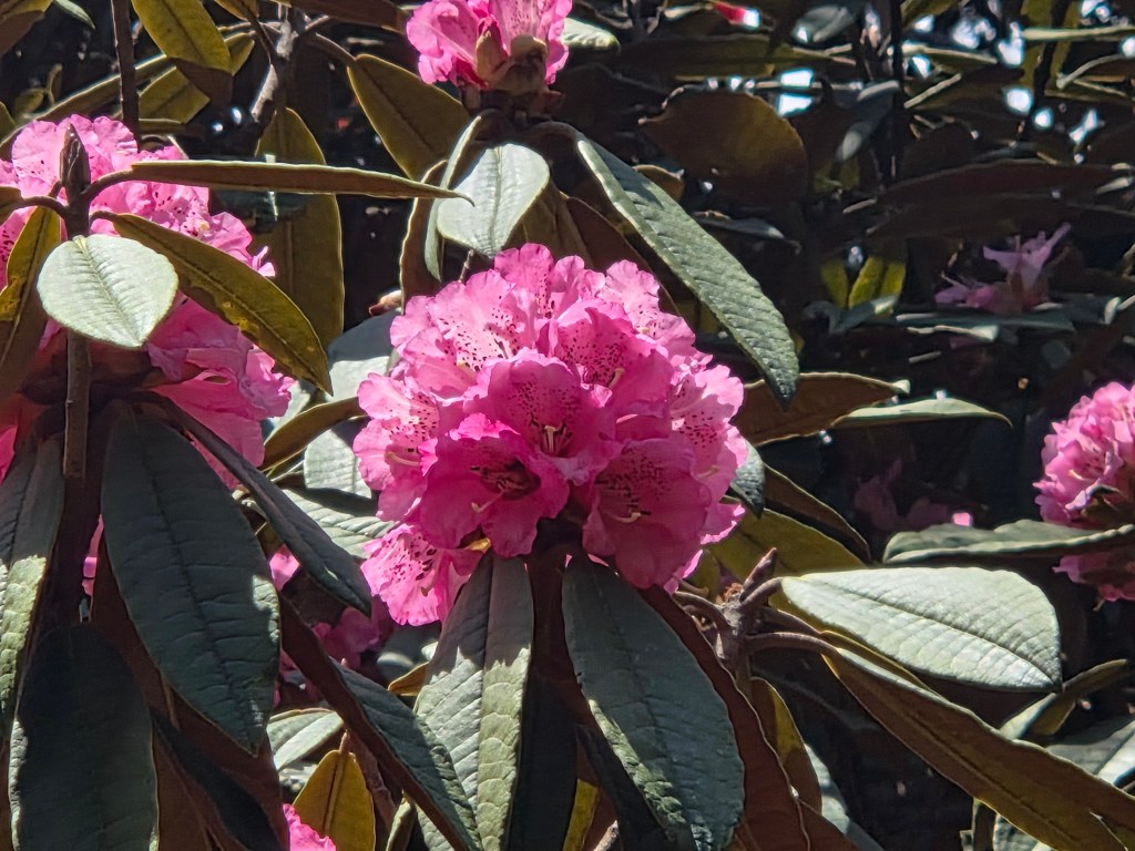
We missed these flowers in upper valleys. It was pleasant to see them reappear. Their densities kept increasing. The buds which we saw on our way up, we're now in full bloom. The color shades in the flowers in this area ranged from light pink, pink with colored spots to dark pink. The latter variety were much less when compared to the other two. Suddenly, I found myself walking through an area where small yellow flowers dotted the floors. These were small shrubs with dense light green foliage with yellow flowers. With these bright display of flowers, the entire place basked with brightness. We crossed the lonely huts of Chermalung and Tartang to reach the dry bed of the Thango river.
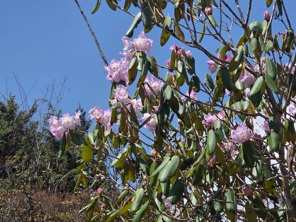
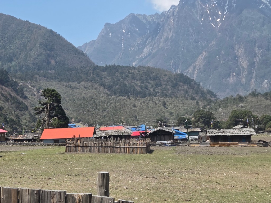
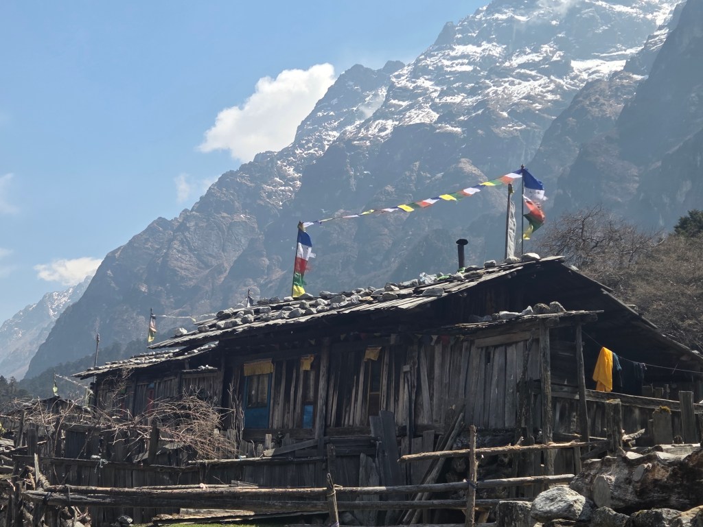
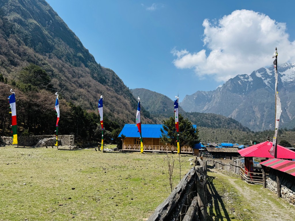
After regaining the trail on the other side of the riverbed, we walked for sometime and then could see the lodges of Ghunsa from a distance. The village wore a bright look. Prayer flags decorated every top. We saw these on our way up too, but their numbers have increased and so did their brightness. It turned out that these decorations have been done on the occassion of some Tibetan festival. Dilal had to complete some formalities at the conservation area office. Just as they record entries on the way up, they tally again on the way down to ensure nobody is missing. We've seen such checks in Annapurna and Manaslu circuit trails. We took some time for photographs in the backdrop of the village houses and then followed the trail. Dilal would join us en-route after completing the formalities. Limbu dropped down to slippers and half sleeves. After crossing the river, we continued our walk towards Phale. Trees became taller and more rhododendrons started appearing. Along with the lighter shades, the scarlet and deep red varieties increased.
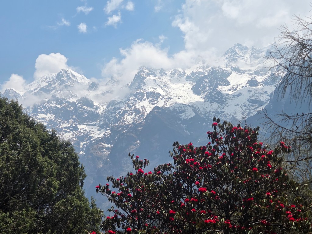
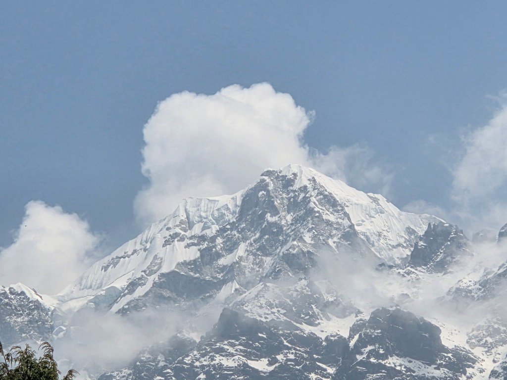
The lodges of Ghunsa faded away as we moved along. We came to the junction where another sign-board declared an arrow towards Nango La. That's the route towards Olangchung Gola. Carole was to take that route on her way towards that valley and potentially onwards to the Makalu region. We came across a resting place. Cool breeze caressed our faces as we gulped down sips of water. After some rest, we resumed our walk towards Phale. The trail was broken at some places where they bridged the gaps with logs. One could gauge the fury of nature by these scars left by past monsoons. Small ups and downs, a few staircases and a gradual trail led us to the open valley of Phale. We went through the familiar network of streams and rhododendron bushes to reach the tea houses.
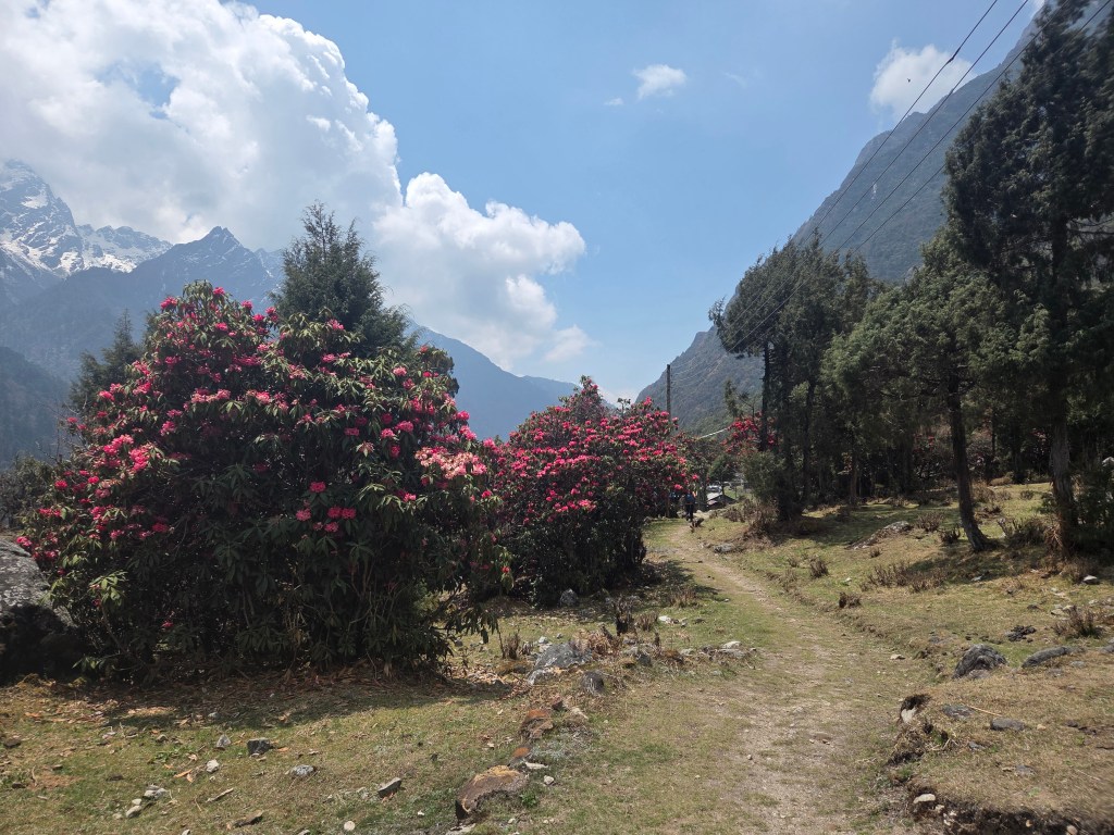
We spread our legs and sat in the dining space of one of these, while our dal bhat lunches got prepared. We devoured our lunch as hunger was at its peak and the preparation was good. After lunch, we resumed our walk through the meadows of Phale. By now, the sky got cloudy. That reduced the heat but the darkness of the clouds raised some concerns of rain. So far, we've been able to avoid it. Gyabla was still about 2 hours away. The wide meadows of Phale spread out on both sides. A light breeze swept through the meadows. The valley narrowed towards the end where the trail entered the forests and we reached the gate.
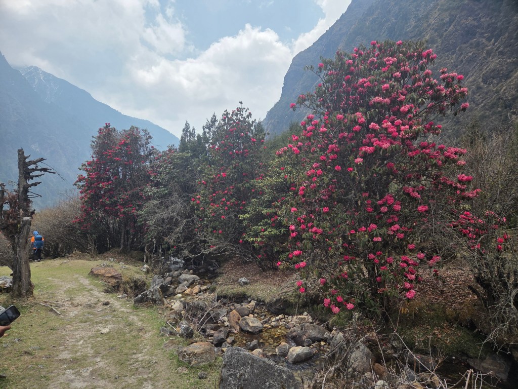
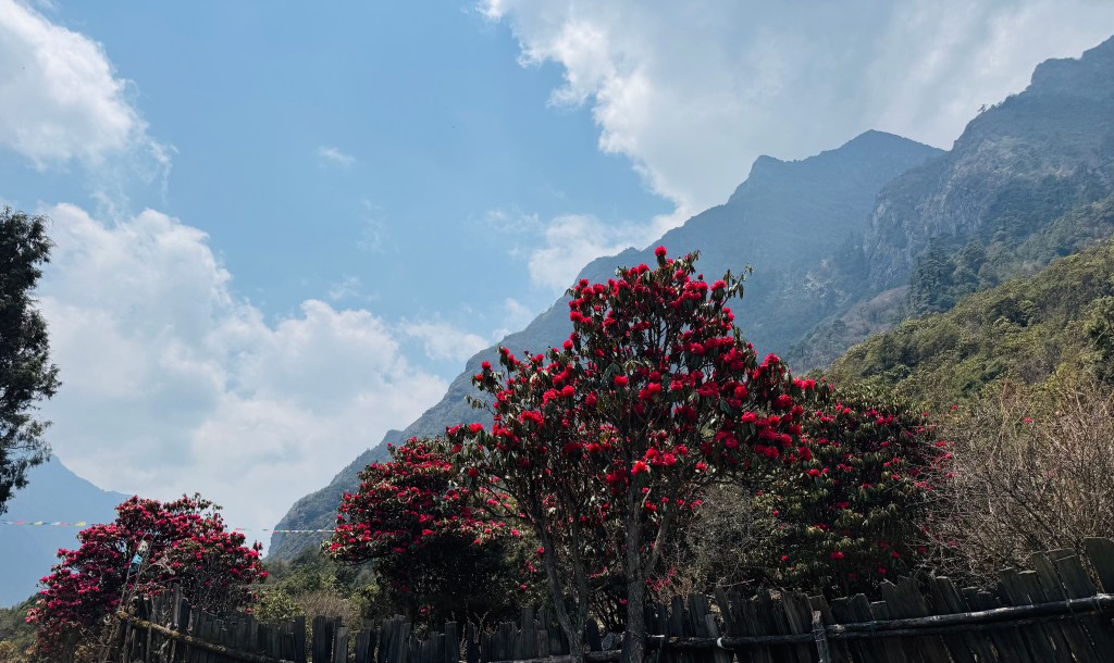
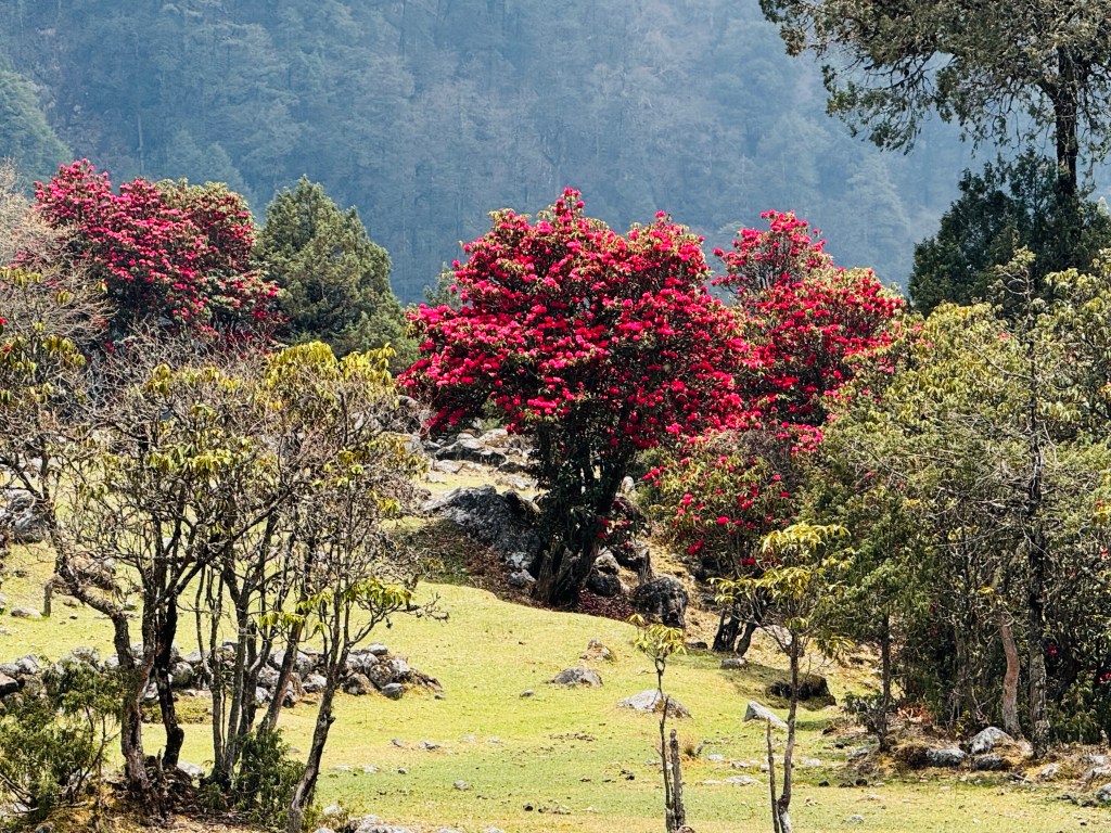
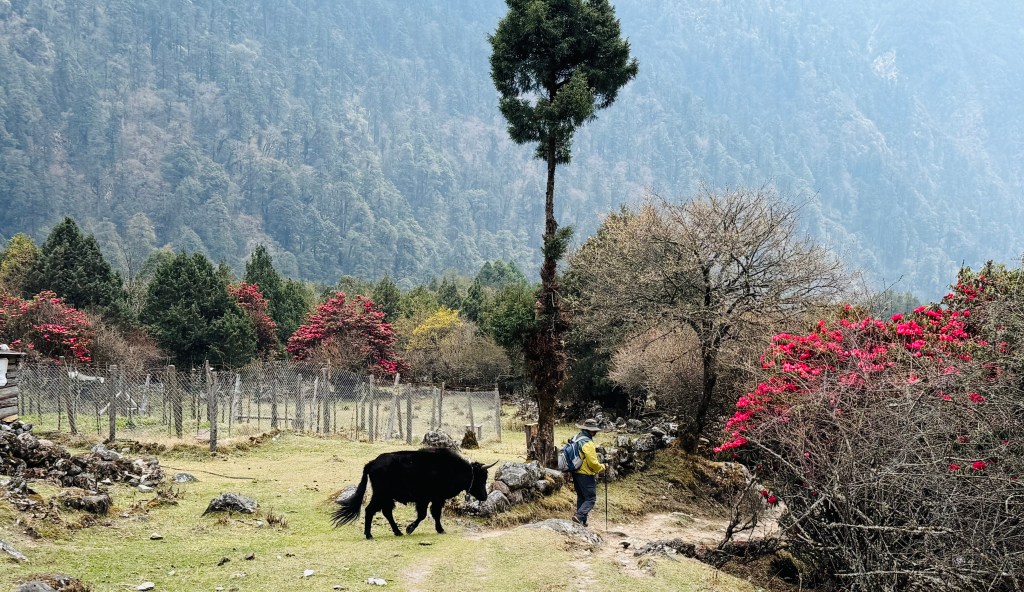
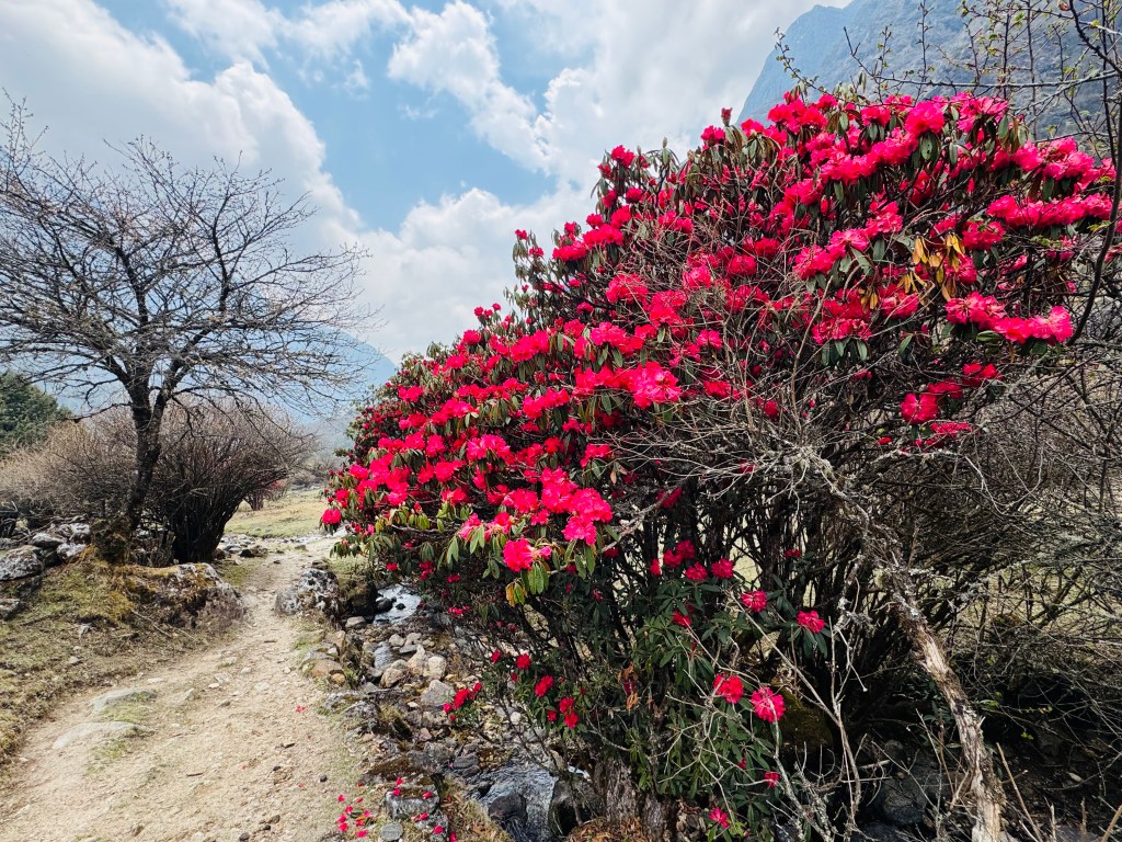
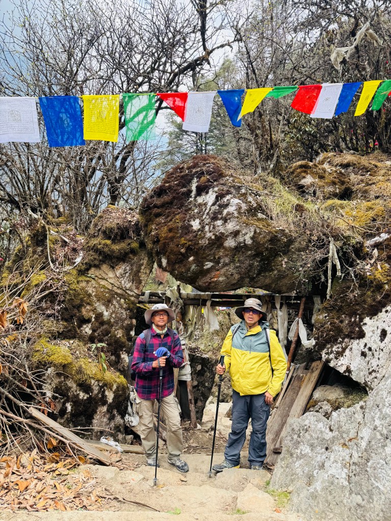
Beyond the gate, the trail descended sharply through rocky and winding staircases. It put some stress on our knees but we lost altitude very fast. After multiple switchbacks we came down to a trail running on elevated banks of the Ghunsa. We were walking along an open ridge. The Ghunsa flowed down to the lower valleys in leaps and bounds. By this time the clouds dominated the skies. A felt a few drops on my body. On asking, Dilal assured that it wasn't likely to rain. We continued our walk and reached a tea house on the banks of the Ghunsa.
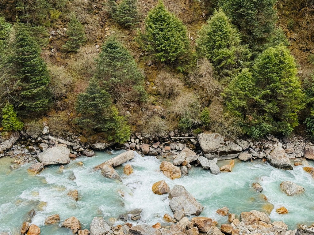
I remembered this tea house because of its location amidst rhododendron trees with full bloom. We stopped for a few minutes to rest our backs. But the increasing darkness of the clouds prompted us to resume quickly. We now walked right beside the Ghunsa. They've tried to tame the landslides by caging the rocks using barbed iron wires. It is a technique used in the mountains to avoid having to use concrete. Concrete prevents growing of vegetation but increases weight which often gives away during inevitable landslides. Caging rocks in this way tries to keep them together but still allows vegetation to grow over time which solidifies the ground. The number of drops increased and finally, even Dilal advised to put on our rain covers. The drizzle increased and darkness set on. Very soon it converted to incessant rains. Despite rain covers, I got drenched. Seeing through the spectacles proved challenging. We made our way through the forests and reached the base of the final hike towards Gyabla. Streams of rainwater flowed down the rocky staircases. The rains lashed at us while we made our way up the staircases. After reaching the top, level ground awaited us. We walked briskly through the bushes till we could see the roofs of Gyabla tea houses. Above all, stood the double storeyed premises of the Singhi Namjong hotel. We reached there at 16.30.
The Singhi Namjong
We entered the premises of the Singhi Namjong hotel (we can't call it just a tea house) through its ground floor entrance. After hanging up our rain soaked clothes, we entered the room alloted to us. It was on the 1st floor, a three bedded room with an almirah at one of its corners. Reaching the premises of this hotel gave us a feeling of home coming. Gyabla didn't have WiFi, but had everything else. A large dining space that could swallow three other dining spaces of usual dimensions. A kitchen of a similar scale. Its rooms can accommodate at least 6 people with decent living space for each, but they're alloted just for two. Add to it, a huge lawn adjoined the premises with enough wires to dry up your clothes. Beyond the lawn, went up the slopes towards the monastery of upper Gyabla. On clear days, one could either take a small hike to the upper village or just relax in the lawn looking at the distant hills beyond the valley. Our bodies were tired. We were eager to reach the dining space to start our evening session of beer. But why not have a hot shower before it. The presence of good and large bathrooms prompted that decision. Dhananjoy has had showers at different places (not hot though) before, but I couldn't muster the courage. But hot shower was a different thing altogether. They gave a bucket full of hot water to each of us and we enjoyed our baths to the fullest. Sitting on our beds after the showers made all the accumulated stress go away. Though our muscles still retained some of the fatigue, but it was fulfulling. By this time, the rains ceased and the sky became clearer. The fading sunlight painted the surroundings with a shade of yellow that tells that the sun was about to call it a day.

We occupied a corner at the dining space. Beer got served. A lady served a bowl of popcorns. Looking at her, we were amazed, it was Sonam! We looked for her immediately after reaching the hotel, but she was alseep. But now she was back in the kitchen, performing her regular duties to serve the boarders. A wrap of scarf around her head didn't allow us to recognize her initially, but the smile was unmistakable. Sonam came from a Sherpa family. Her father was a climbing sirdar (the leading sherpa of a mountaineering expedition) for many years and has been to all the major mountains of the world, being part of summit parties to many of them. Years of experience prompted him to start a business of conducting professional expeditions to the Nepal Himalayas. Being a sherpa, I asked him the same question I asked Nupu, which was, whether he hailed from the Solu Khumbu region. His reply was a No. Moreover, he corrected my understanding that while most of the sherpas belong to that region, but not all. At least not all who are mountaineers. Over successive years, many developments have reached that region with schools and hospitals (a large part of it is due to the untiring efforts of Sir Edmond Hillary and his Himalayan trust). With development coming in, many sherpas have moved out of the region to other parts of Nepal or even the world. Many of them don't consider taking up the job of a porter or guide in an expedition (which comes with its disproportionate share of risks) like their previous generations. His organization is still actively involved in conducting expeditions. The majority of them go to Mt Everest, but others fare as well. Time kept moving along, and then it was time for our dinner. We were served with delicious yak curries along with chapatis. This time we didn't have to instruct for "churum churum". We were back sleeping at the height of 2730 m.


2 thoughts on “Kanghchenjunga north base camp – the Singhi Namjong”