The Barun valley – Danda Kharka

Earlier

Next

28th October

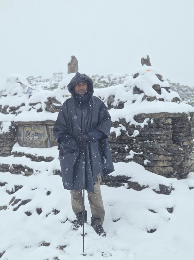
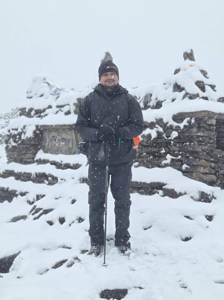
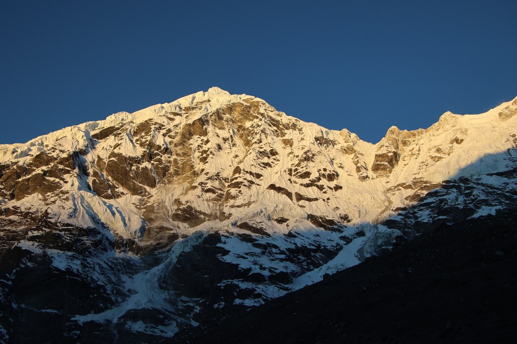
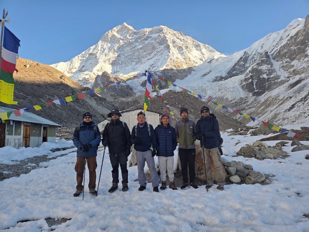
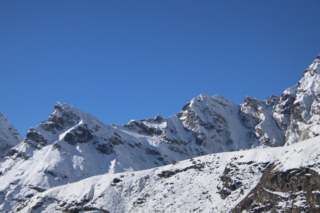
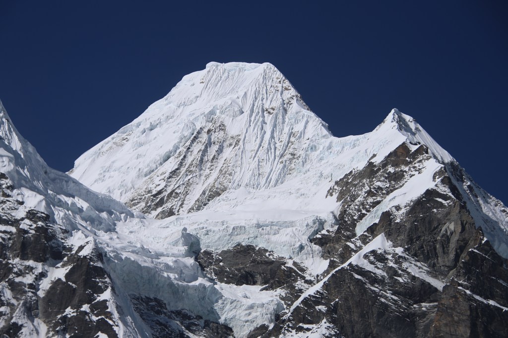
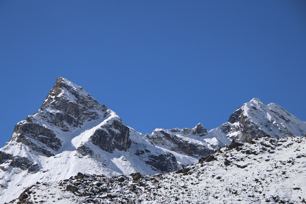
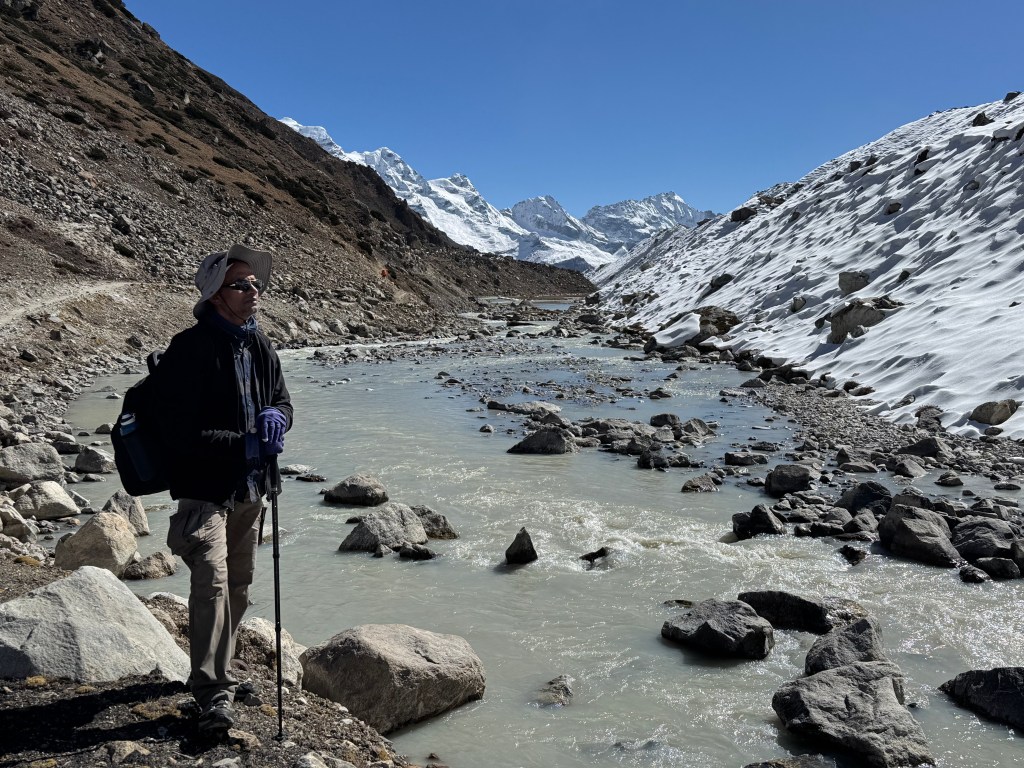
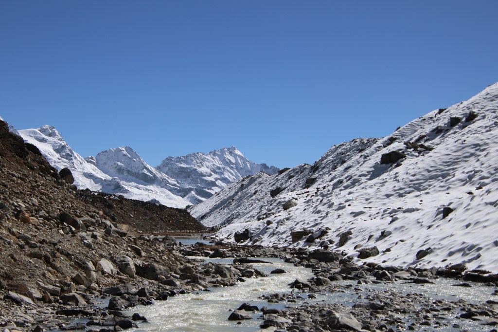
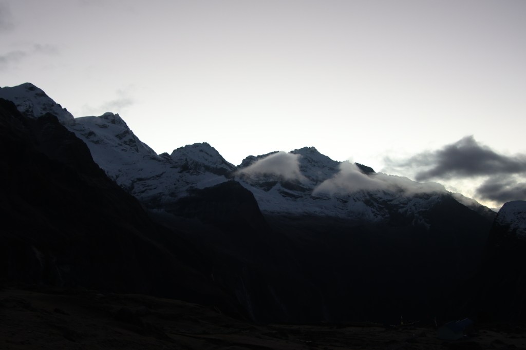
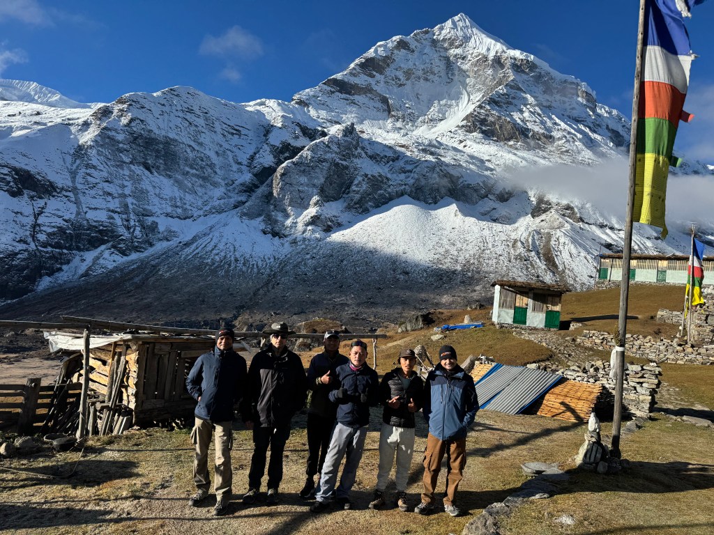
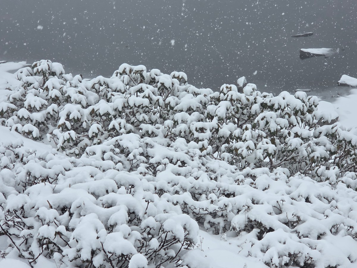
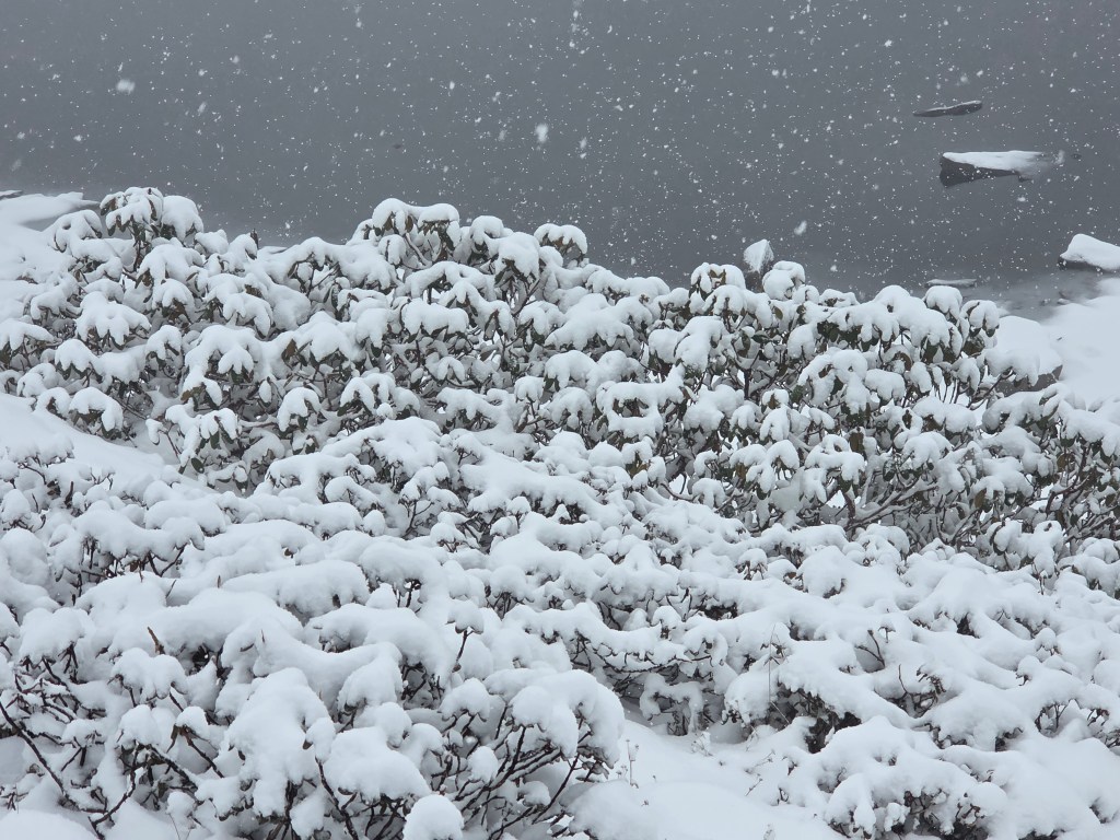
When we saw off Raju, the light from my torch sparkled on flying snow flakes. At the wee hours of the night, these two lads ventured down the tracks from the Shipton La. We knew what lay on that side. The stoned staircases lined the rocky walls that went straight down to the banks of Sano Pokhari. None of it would be visible to these two. I felt sorry for them. I can never imagine walking down such slopes at the dead of the night. It would be terrifying for me in such circumstances. Not even the moon or stars were there to shower light. As I watched them disappear beyond the bend, I prayed for their safe travel. The sight of flying snow flakes didn’t bode well for the next morning. At 4 AM, I ventured out to go to the toilet. It was placed at the corner of a lawn behind the tea house. The entire stretch was covered with snow. The stairs that led to the lawn, the lawn itself, nothing was devoid of snow. I demurred for a while but managed to muster enough courage to venture out. I didn’t want to go through the pain of strapping on the shoes. So, I went out in my slippers. Walking on snow with rubber slippers had its challenges. There was that constant fear of toppling down. The toilet seemed miles away! After jostling through the snow, when I finally reached the toilet, it felt like an achievement! Till I was inside, I kept hearing snow falling on the roof. The same journey had to be repeated in the opposite direction. Snow kept falling relentlessly and I finally reached the tea house. When I reached the room, I found that almost the entire right edge of the bed was wet. This was due to the constant influx of snowflakes through the gaps in the walls. Their volume increased by the minute. It was time for us to get ready anyways. For the second time, I had to put on the micro-spikes. After breakfast, Manoj picked up two of our bags. Kunal’s bag was packed up and dispatched with Anil on the earlier night. Visibility reduced to just a few meters. It was a monochrome setup with everything coated with white! On some other occasion, it would have raised our excitement, but I had my concerns. Manoj was young and we were three of us to tread down the pass. In normal conditions, the trail was easy. We could have easily gone down while keeping our eyes on the Sano Pokhari lake. We would cross along its banks. On the other side, there was the hike to Ghungru La, all supposed to be familiar.
En-route Ghungru La, picture courtesy, Kunal Kishor

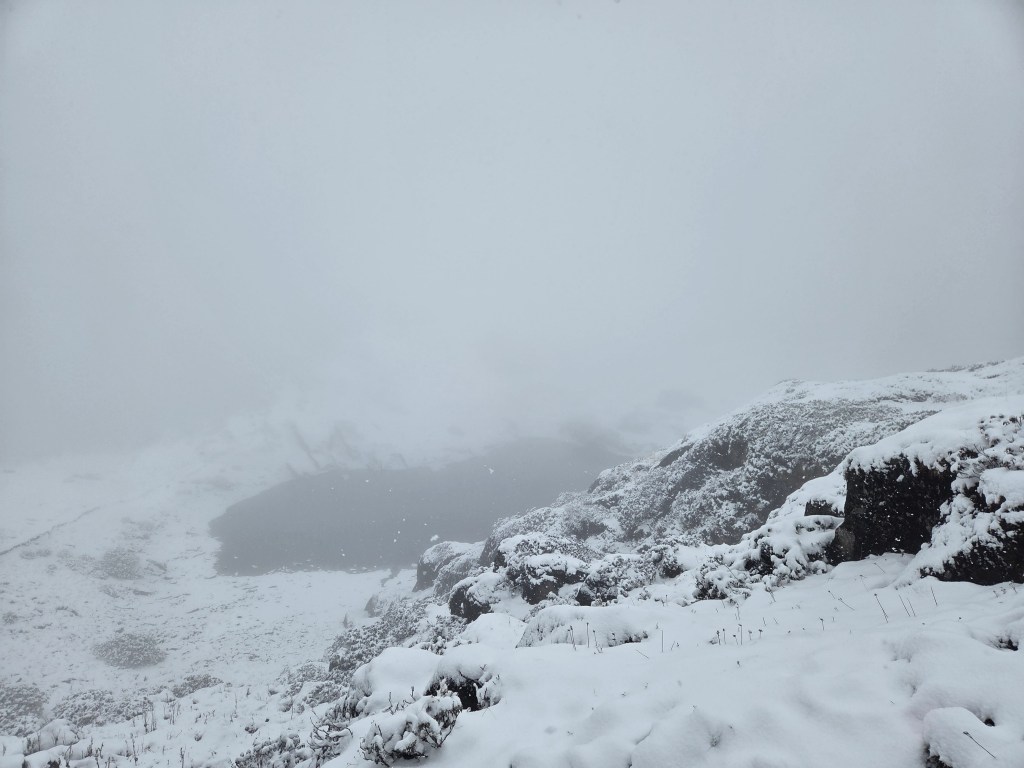
From its top, one could even see the next top, Khongma La. After that, it was all down to Khongma and beyond. I felt comfortable after reaching Shipton La on the prior night. The comfort came from the fact that rest of the trail was easy enough and “known” to us. It was almost like homecoming for us because we spent two days at Khongma on our way up. On one of those days, we went up to Khongma La. But with the incessant snow since last night, the whole track changed its character. Manoj made his way down through the dense white fog and snow. Though the stairs were carefully laid out with stones, I kept treading cautiously. The micro-spikes gave stability to the steps. Dhananjoy & Kunal didn’t bother wearing them. They didn’t wear even on the way to the base camp. Kunal was quite excited with the atmosphere. He kept taking pictures and videos of the trail as winds kept sweeping against our faces. I had the whole of my body covered. Jacket, gloves, inner warm wears & head covers. But that wasn’t enough to prevent the wind & snow to attack my face. I didn’t even bother to take out my camera. The track went down through the swirling switchbacks. We encountered a few patches where we had to cross over boulders. The rest of the trail was safe enough despite being covered entirely with snow. The visibility was limited to a few set of steps ahead. Everything else was behind the shield of white fog & dense cloud. We knew that we were walking towards the banks of Sano Pokhari, but none of it was visible. Only after we reached the banks, we saw it. It’s surface was covered with snow, except a few patches of water.
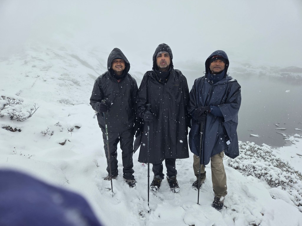
Sano Pokhari, picture courtesy, Kunal Kishor

By this time I got used to the trail and it’s state. Despite the snow, I now enjoyed walking. We started moving up once again, this time with the target of reaching Ghungru La. It was all familiar, yet nothing resembled what we saw on this trail on our way up. Midway to Ghungru La, we saw Anil coming down the slopes. Not that we needed him this time, but I was overwhelmed by his sense of duty. He did the same on our way to Phemathang. They do these services without any qualms. We learnt from him that they reached Khongma at about 2.45 AM and now he was back to help us out. That took him to cross Khongma La & Ghungru La (two passes which were above 3800 m)!
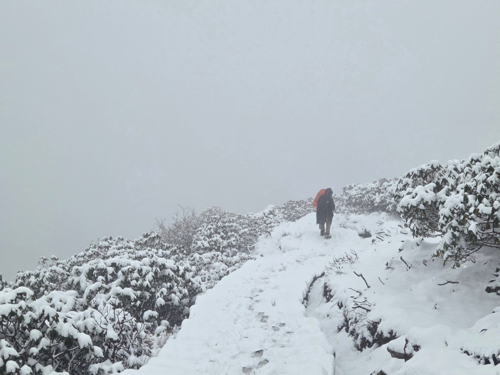
En-route Ghungru La, picture courtesy, Kunal Kishor

He offered to take my backpack. I more than obliged him! We moved up the gentle slopes and reached Ghungru La. This stretch between Khongma and Dobato is unique. The four passes and the two lakes, Sano (small) & Thulo (big) Pokhari, the changing landscape from large trees to the barren slopes with boulders- it has it all to enchant the travelers. The track could be tiring but its worth the effort. This tract separates out this trail from other trails of Nepal. There’s no other tract that gives so much variety.
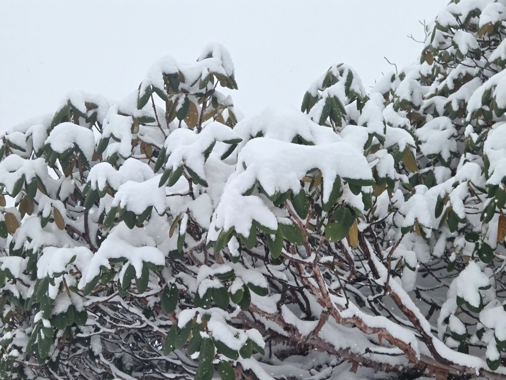
En-route Ghungru La, picture courtesy, Kunal Kishor

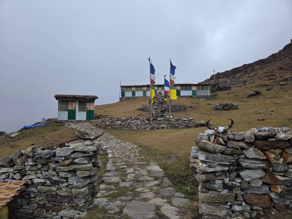
The weather kept it’s intensity and the snow was relentless. When we reached the Ghungru La, nothing was visible on any side. We recalled the views of distant mountains from here. But today, the only thing visible was the ground on which we stood. Apart from a few black patches of stones, it was all white. The prayer flags hanging from the stupas added the only color to the monochrome scene. My mind was drawn to the next pass. Beyond it, we’d say goodbye to the snow line. We would then enter the woods of the lower reaches. If we’re seeing incessant snow at these altitudes, it must be raining heavily in those areas. This could spell troubles for us. Even traveling from Seduwa to Tumlingtar could prove problematic as the road was not paved for a large section. And who doesn’t know that such rains could trigger landslides and road blockages. I forced out those thoughts from my mind & concentrated on the descent from Ghungru La.
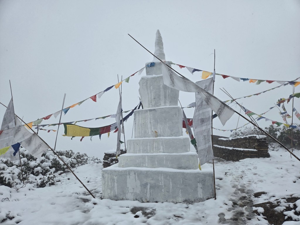
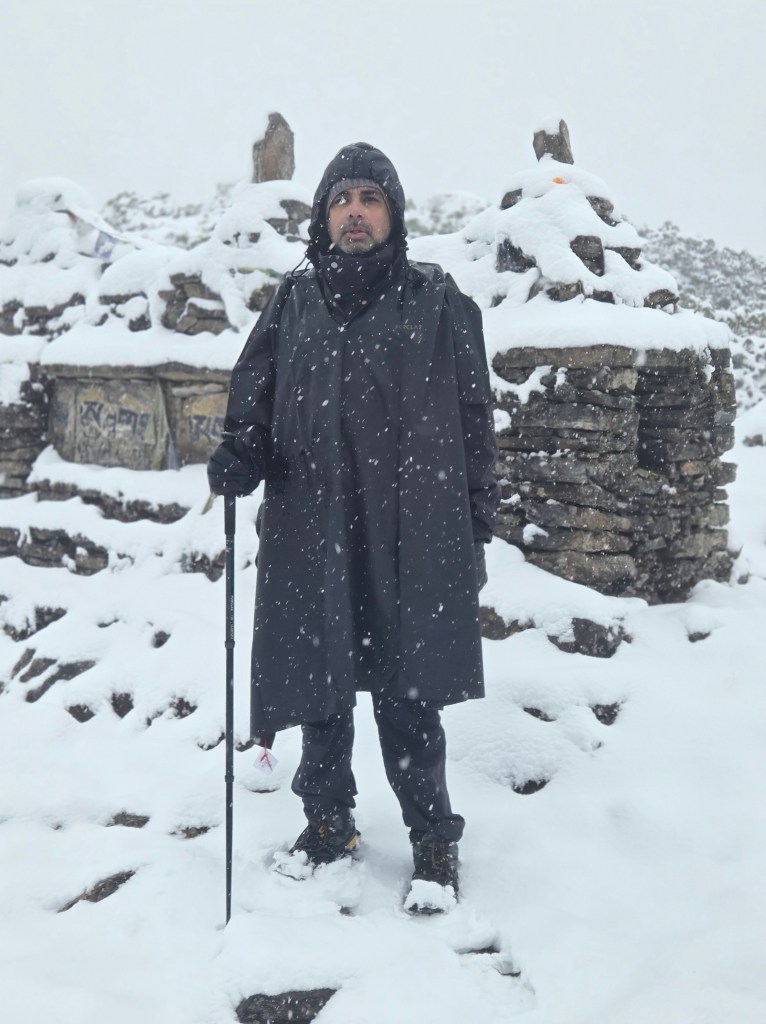
Ghungru La, picture courtesy, Kunal Kishor

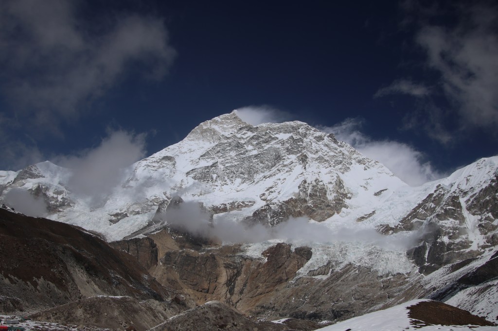
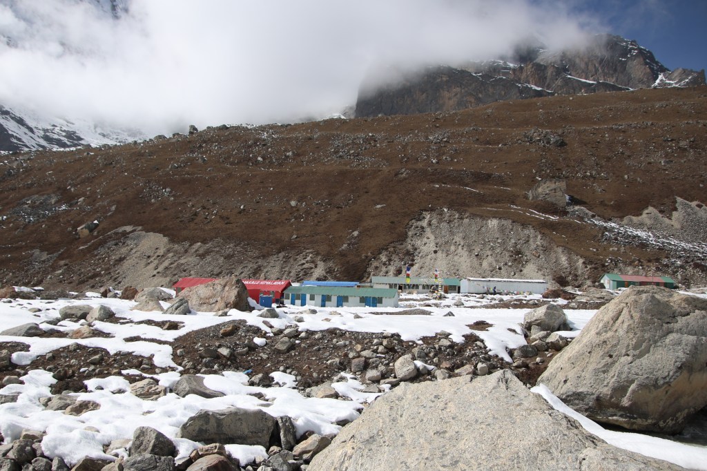
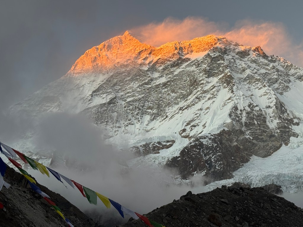
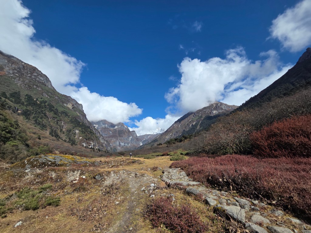
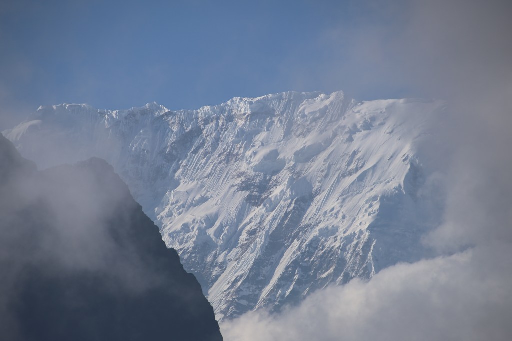
As expected, nothing was visible except the few steps ahead. The descent was steep, though the tract was well laid. We knew that somewhere down, behind the white wall of fog, lay the Khongma La. I carefully treaded down the swirling switchbacks. I knew there were many of them. The snow on the tract made the descent slow. I was anticipating something else. On our way up, we made our last calls to our homes at this area. Given the weather conditions, I was hoping against hope to do the same. It should be somewhere at the place where the slopes gentle out. They rise again for the last pass on this route, the Khongma La. I switched on my phone and as expected, after sometime, I heard the tone of a message arriving. It signaled our return to the “connected” world. I was able to reach out to my home. They were relieved to hear from us after a long gap of four days. While I was lucky, others weren’t. The network lasted only for a single call and disappeared. However, I had asked my wife to inform members of others’ families. Our careful treading of the track continued and we finally reached the Khongma La. We recalled our first view of Mt Makalu from this place. The watch tower was still there, standing out lonely raising it’s head above the dense cloud and mist. The track from here was wider. For the first time, I saw the signs of the snow depleting. From now on, lesser sections of the track had snow cover. After sometime, Dhananjoy shouted out to me to remove my micro-spikes. Walking on bare rocks with them on could spell trouble and cause their damage. It could also destabilize the feet. Without snow cover, they could get anchored in the cracks and cause a stumble. I heeded the call and sat down on the rocky staircases to remove them. I quickly realized my foolishness, but by that time the damage was already done. My pants got wet. So far the cold was outside, but by this act, it entered inside. Snow gradually gave way to wet and exposed rocks which were slippery. Now that micro-spikes & snow were off, walking was more carefree but within a limit. Snow was replaced by rain and the intensity was high. We gradually crossed the lodges of Khongma. This time around, we won’t be staying here. So we headed towards one of the tea houses at the flat top and entered the dining room. Raju wasn’t there. He had headed down to Danda Kharka to ensure our stay there. As lunch started getting prepared, Anil revealed that on their way down, apparently Raju heard some cries from the dark. He was sure that came from the spirits that inhabited the surrounding hills. To ward them off, they lit up fire. After all these antics, they reached the tea house at the wee hours of the morning.

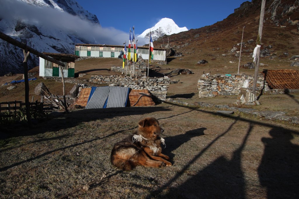
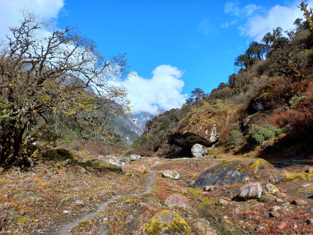
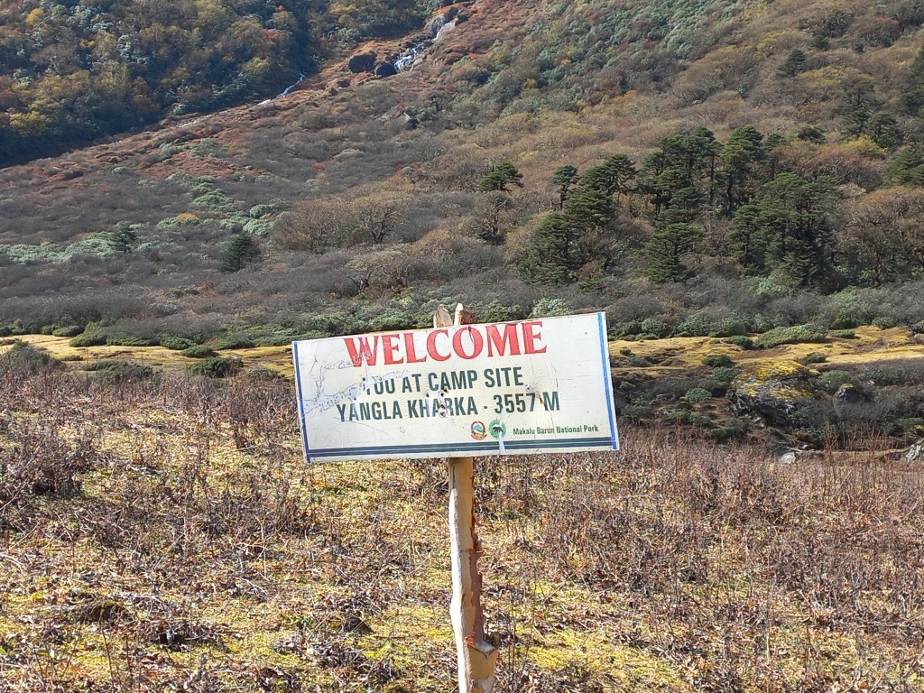
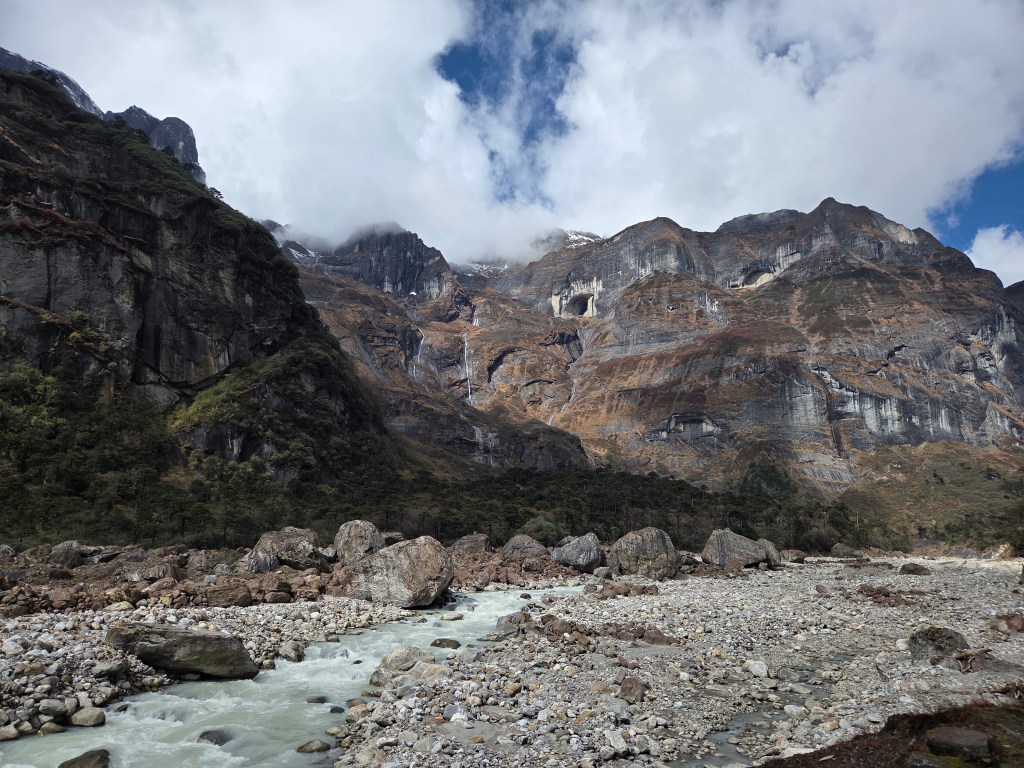
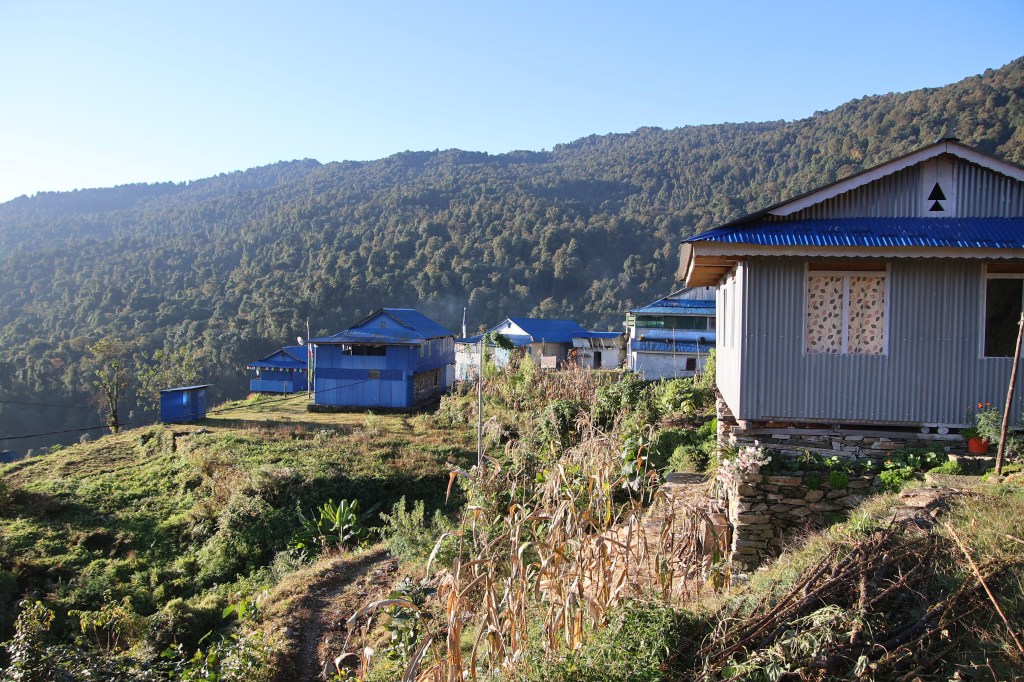
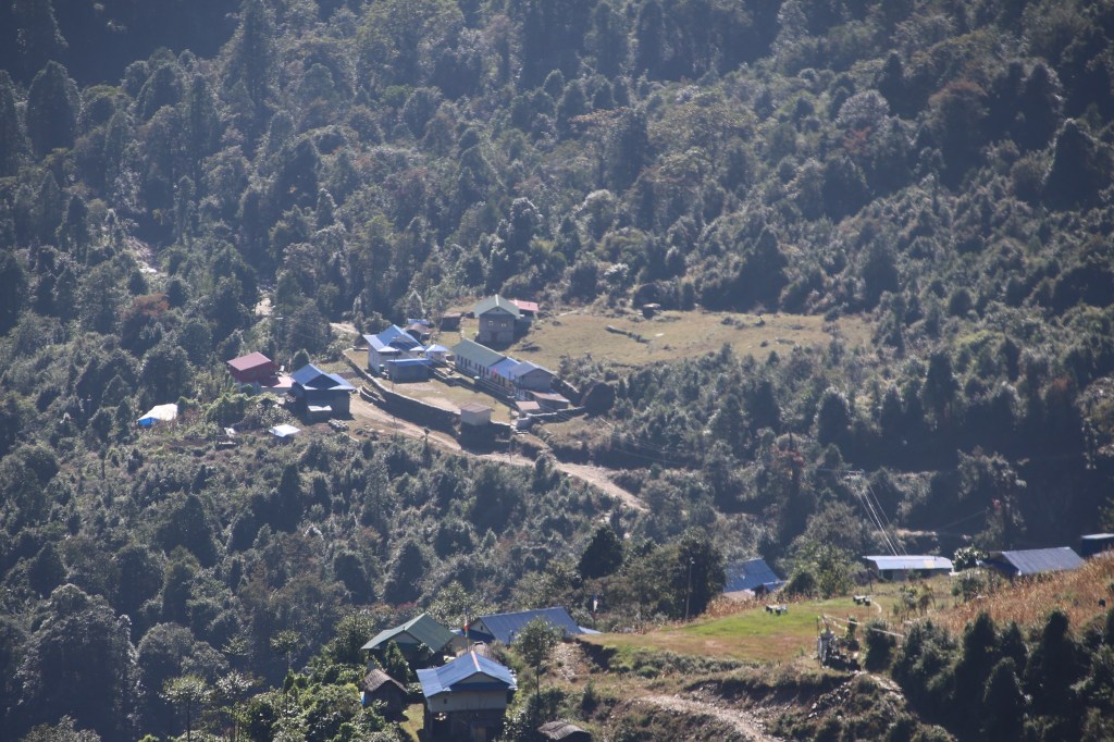
As soon as we entered the dining place, I started shivering. Though we were sheltered from rain & cold, the place wasn’t warm enough. I removed my poncho & jacket to hang them up. This was to rinse off the accumulated water. A feeble fire kept burning at the center. Some other travelers gathered there. They came from Eastern districts of Nepal bordering the Indian states of West Bengal & Sikkim. They were on their way up but the heavy rain caused them to spend an extra day at Khongma. Given the weather conditions, we suspected that their stay can be longer. After lunch we headed down. The rain kept lashing at us. We crossed the resting place after Khongma. The stairs moved steeply down after that and we entered the woods. On clear days, the fields & houses of Tashigaon are visible from there. But, they are now shielded by the clouds. An hour and a half led us to Danda Kharka. We hoped to meet Raju but he moved further down to Tashigaon after paying advance at the lodge. He wasn’t feeling comfortable here either. The lodge was packed. We removed our rain covers, hung them outside and entered the dining space. It was full to the brim. A small alley from the dining space led to our rooms. We later found out that we were extremely lucky to get accommodation at the tea house. Later on, we saw other groups turning up at the lodge. Those were ones who couldn’t advance further due to the downpour. Many had to sleep at the dining space, some even in the kitchen. After changing, the next challenge was to find space for drying our clothes. Fire was burning at the dining space, but all open slots around it got occupied by others. We somehow managed to sneak in our trekking wears amid others’. This is the only way to dry them up in this moist weather. While playing cards, I frequently checked how dry my clothes were. I kept changing their angles to give them the best chance to dry. It almost turned into madness before Dhananjoy started pulling my legs. While we enjoyed the cosy atmosphere inside with steaming tea, the downpour increased. Many groups were still trickling in. That evening was very enjoyable. The warmth of the dining place, the snacks, steaming tea, the games of cards. A nagging feeling kept me worrying about the state of roads lower in the valley. But for that moment I shoved them off. After a warm and cosy dinner, we slipped under the blankets. While we were tossing around in our beds, the sounds of raindrops increased on the roofs. They sounded scary. Sounds of heavy rain usually pleases me in the plains, but not in this part of the world. They can wreak havoc for the mountains. I was hoping the weather played decent for another two days to allow us to reach safely at Tumlingtar. Then a flight would take us to Kathmandu, within the reach of an international airport. Little did we know that nature had other challenges in store. We were sleeping at 3500 m.
Earlier

Next

The Barun valley – Phemathang

Earlier

Next

26th October

The visits to the toilet continued deep into the night. Though it spelled troubles for me, but it caused my headache to subside. The dryness of my mouth and a slight swelling of my tongue also vanished. The porters and guides from different teams continued their gossip and drinks late into the night. During my trips to the toilet, I glanced at the sky. On some instances they were clear, on others, they weren’t. That gave me some worry. Not only can they rob the chances of a clear sunrise. Gathering of clouds at this altitude can also mean snowing. That’s something we don’t want. My headache showed signs of decline. However, sleep was disturbed. Even a tiring day of hike couldn’t make me sleep well. This is enough indication that lack of oxygen was the cause. After tossing around through the night, when I was just starting to feel comfortable, the time was up. When I ventured out, the sky was clear. The entire massif of Makalu covered the northern horizon. Looking around, the other mountains were clear enough, except that their outlines were dark. Our exposed faces bore the brunt of cold. We didn’t yet dare to take our fingers out as the solar rays were yet to appear.

Makalu base camp

After some time, our perseverance bore fruit. The first solar rays began to decorate the heights of Mt Nepo and Mt Sersong. Makalu was yet to wear the crown. Though its entire massif was clearly visible. Clouds stayed clear off the mountain peaks. As soon as the first touch of gold started its patch on the mountains, we sprang into action. We forgot the numbness of our fingers in the biting cold and shutters kept rolling. We stood at the base of a wide amphitheater, surrounded by mountain peaks on all sides. Though others were equally beautiful and gave our first glimpse of golden shower, our eyes kept turning towards Makalu. It was yet to be bathed. These acts of nature move fast and colors change by the minute. So, there was no time to waste. We could see the entire trail we took to get to this base camp. A small track of steps moved up from the valley floor. The relentless sound of the Barun river’s torrent filled the air. Cold winds dashed our face. We were in full warm wears but none of them seemed sufficient. There came a point where all of the mountains wore the crown of gold, including Makalu. But the colors on the Makalu massif weren’t as glorious as they were during the previous day’s sunset. Nevertheless, we had nothing to complain as others filled that space.

Makalu base camp
Makalu base camp, picture courtesy, Kunal Kishor

After breakfast, it was time to bid adieu to the base camp. After a group photograph, we embarked on our return journey. We crossed the bridge over the Barun river and started moving up the slopes. What seemed easy while coming down, proved tough while moving up. The trail was just enough to put a pair of steps. Beyond that, the slopes moved steeply down towards the flowing Barun river. There was not an inch of soil visible on the surface. Manoj kept ahead of us, guiding through the route. Raju was behind me. I kept placing my steps in the marks created by Manoj. He judged the strength of the snow by placing his foot. The color of the snow in such foot marks gives an indication. If it appears solid white, one could assume them to be safe. But there are ones that are light blue or green. They are the ones to be avoided. More often, these are formed by fresh snow and could give in under body weight. The trail was precariously close to the edge of the slope. My entire concentration was on the foot marks. That didn’t let me soak in the surrounding beauty. Every thing was in monochrome. In fact, there was one color that dominated the entire landscape and that was white. I was waiting anxiously to reach that section of the trail which moved along the middle of the ridge with enough space on both sides. But that eluded me for long. The current stretch appeared never ending. But every ordeal has an end. So did this. Seemingly, after ages, we finally reached the ground where the trail moved along the center of the ridge. I breathed a sigh of relief. For the first time after leaving the base camp, I could focus on the surrounding landscape. By that time, the mountains bathed in silver. The entire Makalu massif was dazzling bright in the morning sun. Streams of snow and ice came down its slopes in the form of multiple glaciers and ice falls. The upper section of the massif contained rocks with a yellowish tinge. Geologists must have an explanation about the source of such rocks. They rose millions of years ago from sea bed due to the ever colliding Eurasian and Indian tectonic plates. The process that gave birth to these mountains, is still on. Mt Everest also has a band of such yellowish rocks near its summit (called the yellow band).

En-route Langmale

Walking was easy over the snow, thanks to the micro-spikes. The patches of snow kept decreasing as we progressed towards Sersong. Sersong is the interim place of stay between the base camp and Langmale. After sometime, the snow reduced to a great extent and I had to remove the micro-spikes from my boots. That’s when the roofs of the tea houses of Sersong became visible. We descended the slopes towards it and finally entered its lawn. We removed our day packs to take some rest along with steaming tea. The locals started to play some music and the Sherpa owners of the lodge started dancing to the tunes. Our porters joined them too. While sipping tea, we heard a bursting sound. Following the pointed fingers of the onlookers, we saw a huge avalanche coming down the slopes of Mt Nepo. It was so near yet so far. We weren’t quick enough to film it. By the time we trained our lenses, the avalanche had lost its steam. These are awe-inspiring to watch from distance. But the mere thoughts of falling in their way, sends chills down the spines. That reminded me of a similar experience while descending from the Larkya La.

En-route Langmale, picture courtesy, Dhananjoy De
En-route Langmale

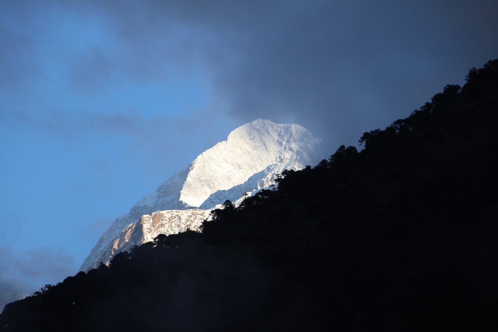
After Sersong, the trail moved into the flat valley floor of the Barun river. It then took a turn to the left. As we moved along the trail, the Makalu massif gradually started going out of our sight. After sometime, only the tip of it was visible above the hills. The rest of the mountains kept company and we moved along the familiar tracks we crossed the day before. We crossed Merek and the same stretches of the valley. After sometime, we saw the gradual hike towards a top. We knew that Langmale lay beyond that. An easy stroll took us to the top and we could see the tea houses of Langmale. The place was bathing in bright sunshine. Dhananjoy and Kunal had already reached there and were lying down in the lawn, basking themselves in the bright sunshine. It was sort of a homecoming for us. The place was familiar. So was the dining place. As lunch was getting prepared, we rested in the lawn. I opted for fried potatoes (the same dish I had on the evening we reached this place). Dhananjoy went for roasted potatoes. These were raw potatoes roasted in fire. Roasted hard and sprinkled with a touch of salt, they tasted delicious. I kept the practice of drinking large quantities of water. The owner of the tea house advised us to take a shorter route along the banks of the Barun river. This was the route we avoided on our way up to Langmale. We avoided it because there was a red cross that prohibited us from taking it. But it seemed it was safe enough and could save us time on our way down.

Langmale, picture courtesy, Dhananjoy De
Langmale
Langmale

After exiting Langmale, we started descending the rocky slopes. While moving up, it was tough on our knees and lungs, now it was the knees. The slope had some steep inclines at some places with broken rocks and boulders. One had to be careful while crossing them. We finally reached at the base of the slope and bushes reappeared. We were entering into the treeline once more. That gave us some relief. Raju latched on to a local passer-by. He was heading to Dobato. The lad convinced Raju that he could help booking our stay at the tea house there. Raju gave him some advance and was sure that our stay would be secured at Dobato. The lad moved ahead. On our way down, we met a local lady who sprained her leg while crossing a landslide zone. She asked for some medicine and we gave her a painkiller. But that was more of a consolation. Painkillers help only when the body gets rest but she had to descend to Phemathang, still a long way down. After sometime, our tracks diverged. We took the route downwards towards the Barun river. She took the upper route, which was the trail we used on our way up. The zones of landslides started. One came after another. Now that we were accustomed to them, we navigated them by following the markings left by others. Mostly these were sets of stones stacked up in the form of a small monument. The track was broken at many places, but we kept moving along the banks of the Barun river. After crossing the Shiva-Parvati rocks, we entered the forest. The track went through level grounds through the forest. We lost the Barun river for sometime only to emerge on its banks, sometime later. This was the familiar wide valley that led to Yangle Kharka. Most of the travelers would be staying here We met the Slovenian group on our way down. The lady with the sprained leg reappeared. We saw her ahead of us, walking briskly though the track strewn with boulders and rocks with a stick in her hand. Even with her sprained leg, she beat us to Yangle Kharka. The magical fading light of the setting sun created wonders on the distant hills.

Yangle Kharka

The wide meadows of Yangle Kharka was bidding adieu to the day. We still had another 2.5 hours to reach our destination. After crossing the checkpoint of the Makalu Barun National park, the valley narrowed. We now walked on a fairly level trail along the Barun river, which came much closer to our trail. The light started fading away as we headed towards Phemathang. After sometime, we crossed the wooden bridge to cross over to the other bank. The rest of the walk was on level ground and we reached Phemathang. This time around, we avoided the room that was adjacent to the kitchen. So, we were spared from the smoke and soot emerging from it. Tired legs after a long day of trekking tempts you to rest immediately. But I ignored them and changed my clothes. The challenge of finding accommodation at Dobato was still lingering in our minds. Paying advance to the local passer-by was not deemed enough. Raju came up with a plan. It was to dispatch Manoj early in the morning with packed breakfast to Dobato to try and ensure a booking. The rest of the team would follow later. News was ripe about large groups coming from Khongma as well as Yangle Kharka, both competing for space at Dobato. At that time, the plan seemed precise. This was based on an assumption that accommodation was available on a first come first serve basis. The fact that Manoj will start from Phemathang (about 2.5 hrs before Dobato) would give him an early-start advantage. That should increase the chances of acquiring a stay at Dobato. We went to sleep with hopes of getting accommodation at Dobato.

Earlier

Next

The Barun valley – Makalu base camp

Earlier

Next

25th October

There were different reports about the expected amount of snow en-route base camp. So far the route has been devoid of snow. But on this last leg, it’d be surprising if Makalu didn’t throw up some challenge. After all its the fifth highest mountain in the world. I recalled the videos of the base camp. I have seen them multiple times over the years and hoped to reach there someday. Today would give us that opportunity. I yearned to reach that final little wooden bridge. It lay over the frozen stream of the Barun river. Beyond that, the lodges of the base camp welcomes the travelers. Unlike the Everest base camp, where one can’t get to see the summit, Makalu is visible from its base camp in full glory. It’s areal distance from the base camp is even lesser than that of Mt Annapurna from its southern base camp. I suspected that Langmale would offer a panoramic view of the peaks. Clouds deprived us yesterday. But I entered the lawn at the early hours of dawn. I could see the sky littered with stars. The dark silhouette of the surrounding mountains corroborated my understanding. Mt Makalu isn’t visible from here but others dominated the sky. There was a trail that gradually moved up from the lawn towards another set of rooms. The trail circumvented around them, went beyond and disappeared in the darkness. That’s the trail towards Makalu base camp. Despite enough warm wear the cold was biting. We kept our vigil on the dark edges of the surrounding peaks. We watched on as the drama of colors was about to play out.

Langmale

It started with a soft light gradually diluting the darkness. The silhouette became more prominent. Beyond the point where the trail to base camp disappeared into oblivion, rose Mt Chamlang dominating the horizon. Moving anticlockwise from there, there was Mt Nepo, Mt Sersong and other Himalayan peaks, still dark in their appearance. Winds dashed our faces but we persevered.

Langmale

Mt Chamlang absorbed the first brush of gold. Mt Nepo wasn’t far behind either. Nature’s paintbrush worked wonders in the canvas of the mountains. Their slopes, glaciers and ice falls struck gold. The canvas changed colors by the minute. Gold gradually faded out giving way to a silver blaze. The mountains basked in their full morning glory amid clear skies. Small fluffy clouds floated along their edges. All of the mountain summits were wrapped in white scarves. These were plumes of snow particles sent out into the sky by gales of strong winds dashing at their summits.

Langmale
Langmale
Mt Chamlang East, Langmale
Langmale, picture courtesy, Dhananjoy De
Langmale

After breakfast, there were some group photographs taken. Then we started off for the base camp. The trail left the lodge and gradually moved up. Walking was easy. We stopped often as the mountains offered ample scope of photography as they kept changing angles with each step ahead. After reaching a height the trail moved down into a wide valley. Barun river reappeared and our trail went by its side.

En-route Makalu base camp
Barun river, en-route Makalu base camp, picture courtesy, Dhananjoy De

Its torrent was less violent in the valley. The streams started to freeze. They flowed amid frozen ice. The valley was barren and wide, strewn with boulders. The Barun river formed its outer rim. Beyond that, rose the mountains. The ground was almost flat during the first part of our journey. The glaciers along the mountains were getting clearer and so did the contours of their slopes. With every step ahead, the mountains drew nearer and increased in stature. The landscape was totally devoid of any vegetation. It was all about snow and rocks.

En-route Makalu base camp
En-route Makalu base camp, picture courtesy, Kunal Kishor

The rocks stood on top of another in a loosely stacked aggregation. It gave an impression that a moderate wind or any such similar trigger could roll them over at anytime. Everything seemed so temporary and transient. It could so happen that next year, these formations might get replaced by others. After about 1.5 hours, we reached an area surrounded by mountains. Their slopes were barren and broken. They were literally stripped to the bare.

En-route Makalu base camp

A signboard displayed the name of the place. It was called “Merek”. This is the name that was mentioned in our itinerary as a place of halt before reaching the base camp. However, we were informed at the very start of our trek that it was not suitable for a halt. This was due to the threats of impending landslides. Looking at the site, we realized that they were correct. The path went beside the stream of the Barun river at some places. It was now almost fully frozen with very thin streams of water flowing from melting snow.

En-route Makalu base camp

The valley started to turn to the right. That’s when Makalu appeared beyond the hills. The route started to move up and the trail went through a maze of boulders. We started to cross another landslide zone. Gradually, we started seeing rocks with their tops covered with snow. Small and medium sized patches of snow were scattered on our route. But we were still capable of circumventing them to move ahead. We had to find our way through them as there was no clear trail available. At some distance, we saw some green roofs – a tea house! There was a small lawn in front of it where other trekkers lay around leisurely. Some even sat on chairs sipping hot tea. We entered the lawn and removed our day packs to have some rest. The surrounding was magnificent. The tea house was right below Mt Sersong and that’s why the place also bore its name. We were sitting at the base of a bowl and its edges were formed by mighty mountain peaks all around. We felt so insignificant amid the huge surroundings. Lemon tea was ordered and we took the time to soak in what nature placed at our disposal. Shutters kept rolling but they couldn’t do justice. The sun was shining bright and the clouds stayed away. Some of the trekkers started to move out (the ones who reached earlier than us). I followed their trail as far as I could see. The valley narrowed from hereon and the trail moved steadily up. Base camp was another 2.5 hours away. The snow started covering larger tracts of the route. I had a feeling that I’d have to rely on micro-spikes very soon.

Sersong, picture courtesy, Kunal Kishor

We resumed our hike. Sersong was left behind and after sometime, it turned into a small dwelling. There wasn’t any clear trail but a network of paths moved in a general direction. Snow started to close in from both sides and after sometime, it wasn’t possible to circumvent it. So I sat on a dry section to put on the layer of micro-spikes onto my boots. It’s a web of sharp spikes woven into a cage made of hard rubber. One had to insert their boots into that cage and pull the rubber strap behind the heels. Once the cage fits in, a Velcro strap needs to be fastened to make it hold tight. The act took about 15 minutes. With micro-spikes now fastened, I didn’t have the headache to find out a trail devoid of snow. Instead of that, I’d rather step over them to get me acquainted. As I moved over the snow tracts, my boots made small dents.

En-route Makalu base camp
En-route Makalu base camp, picture courtesy, Dhananjoy De
En-route Makalu base camp

I saw similar dents made by others on the track and tried to keep my feet in them. It’s an act of literally filling in the shoes. It’s important to follow such foot marks, especially when the snow gets deep. They give an indication of hard ground. Snow can be treacherous and there are sections of soft, fresh snow which gives in easily. One could get knee-deep or even waist-deep in no time and it can be come difficult to negotiate the track. I retained this act of following into others’ steps right up to the base camp. Though the snow was getting deeper, the ground was still wide. There was enough space on both sides to give confidence. But that was to change soon. Mt Makalu emerged from the hiding. It was now visible in its full glory on the northern horizon in front of us.

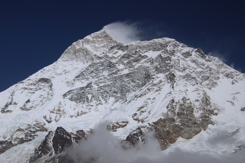
Mt Makalu, En-route Makalu base camp

The trail now gradually moved towards the left edge. There was just enough space for a single person to move at a time. To our left, the slope went steeply down to the banks of the Barun river. To our right, the steepness was the same, but upwards. Our porters and guide Raju were leading the way. Anil moved in front of the group. Raju was behind or in front of me, depending on the incline and the support I needed. Manoj was guarding the rear. Thus, our small train navigated the steep slopes. It was now completely filled with deep snow. We kept an eye out for the signs of the base camp. The entire landscape was dazzling white. The sunlight reflected from the surface and increased the glare. We couldn’t see anything on the LED displays of our cameras and mobile phones. It’s tempting to remove the glasses. We wanted a clearer view, but we were aware of its impact on our eyes. The views were mesmerizing. We had to rely on guesswork while training our lenses because the LED displays let us down. The entire massif of Mt Makalu dominated the northern horizon.

En-route Makalu base camp
Makalu base camp
En-route Makalu base camp

Other mountains were equally imposing and they kept closing in as we moved along the slope. We saw a patch of red in the distance amid vast swathes of snow deposits. Then there was another one, followed by a few other colors. They were the roofs of the tea houses at the base camp. With that in sight, we were ecstatic. That prompted a few more photographs with the distant base camp at the background. We now sensed the slope moving downwards. Descending is even trickier on such narrow snow filled slopes. I thanked the micro-spikes because of the grip they provided. More than physical, its the mental peace which they bring in. Carefully negotiating the track, we finally came down to level ground. The serpentine trail moved along the valley floor towards that coveted wooden bridge!

Makalu base camp, picture courtesy, Kunal Kishor

As I walked over and stood on the bridge, it gave a sense of coming to a “known” place. It was a unique feeling, given that we were visiting the place for the first time in our lives. The Barun river was flowing beneath it. It came down from the glaciers along the southern slopes of Mt Makalu, which stood right in front of us. Beyond the bridge, we took a few more steps on the accumulated snow. Then we entered the premises of the base camp. There were about 4-5 tea houses at the base camp.

Makalu base camp
En-route Makalu base camp

All of them were rectangular and were oriented north to south. Our room was right at the end. We took off our shoes. I retained the cage of micro-spikes on the boots. This was to save the effort of putting them on tomorrow. The entire compound was filled with heavy deposits of snow. They have been cleared in between to make ways. Long icicles hung from the roof of the tea houses.

Makalu base camp
Makalu base camp

The weather was warm. The tea-house was excellent. It had enough reserves of every type of food items and drinks. The lunch was comfortable in the closed dining area. After lunch, we stayed in the dining area, playing cards. By that time, it started getting cloudy and the cold increased in leaps and bounds. On our request, the owners of the tea house started the chimney fire earlier. Dried yak dung cakes were filled in its chambers and the fire was started. It took time to set in, but after that, the room was comfortable. The Slovenian group also stayed at this tea house and they sat by our side. One of their senior members have been coming to Nepal for the last 35 years. He has been to more areas in Nepal than any of us. He’s in awe of this country. Not just the landscape, but also the people and their diverse culture. I developed a slight headache. My tongue went dry often. This forced me to keep it moist by sipping water regularly. The headache gave me a mild tension. Headaches at such altitudes always raises fear of high altitude sickness. They sneak in unnoticed and remove ground under your feet in no time. Could the snow glare have caused it? Or was it the altitude? I kept pondering, while sipping water continuously. Dhananjoy suggested a simple formula to keep ailments under check. “Keep drinking water until your urine gets colorless”. Having multiple sips of water also forced me to the toilet multiple times. It was a tough ask. Now that I was down to rubber slippers, I had to find a snow-less track to the toilet. It was right at the end of the lawn. I also had to ensure that my socks didn’t get wet from the melting streams from the snow deposits. Though inconvenient, it also gave me a chance to keep an eye on the northern horizon. Clouds covered Makalu and chances of a sunset view were getting slimmer.

Makalu base camp

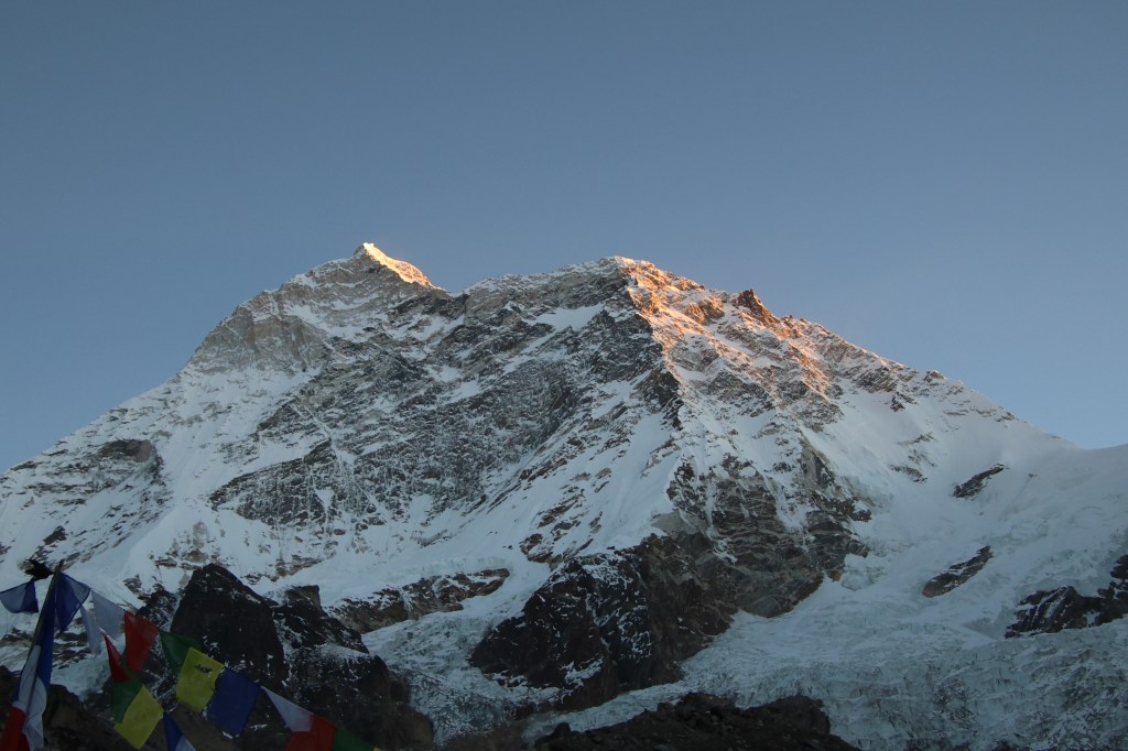
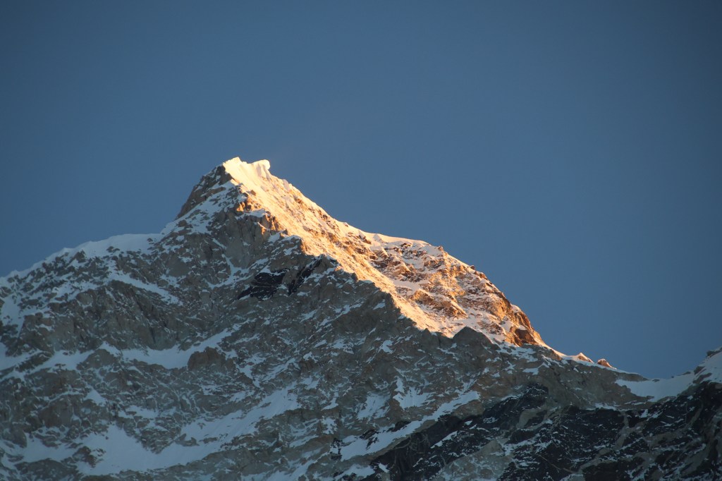
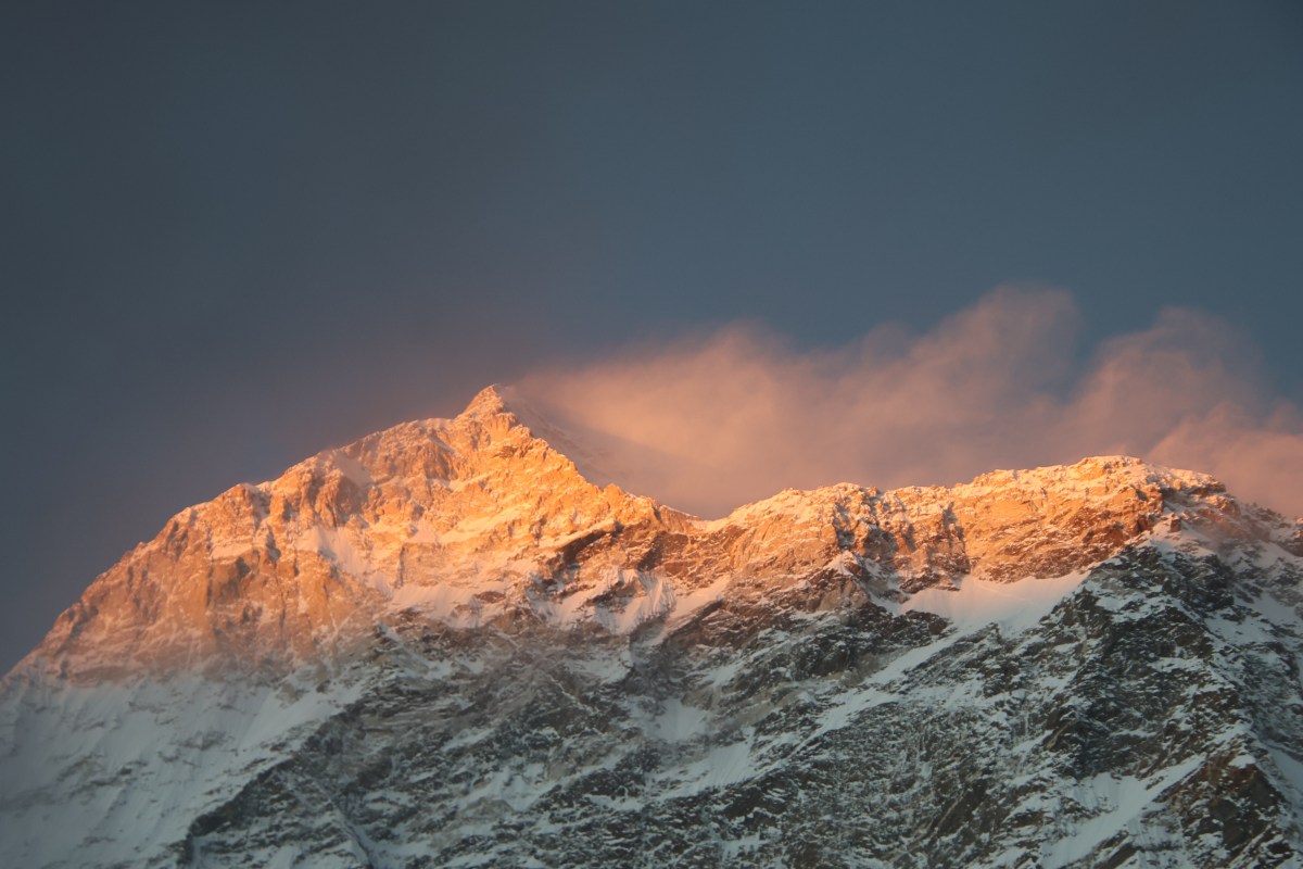
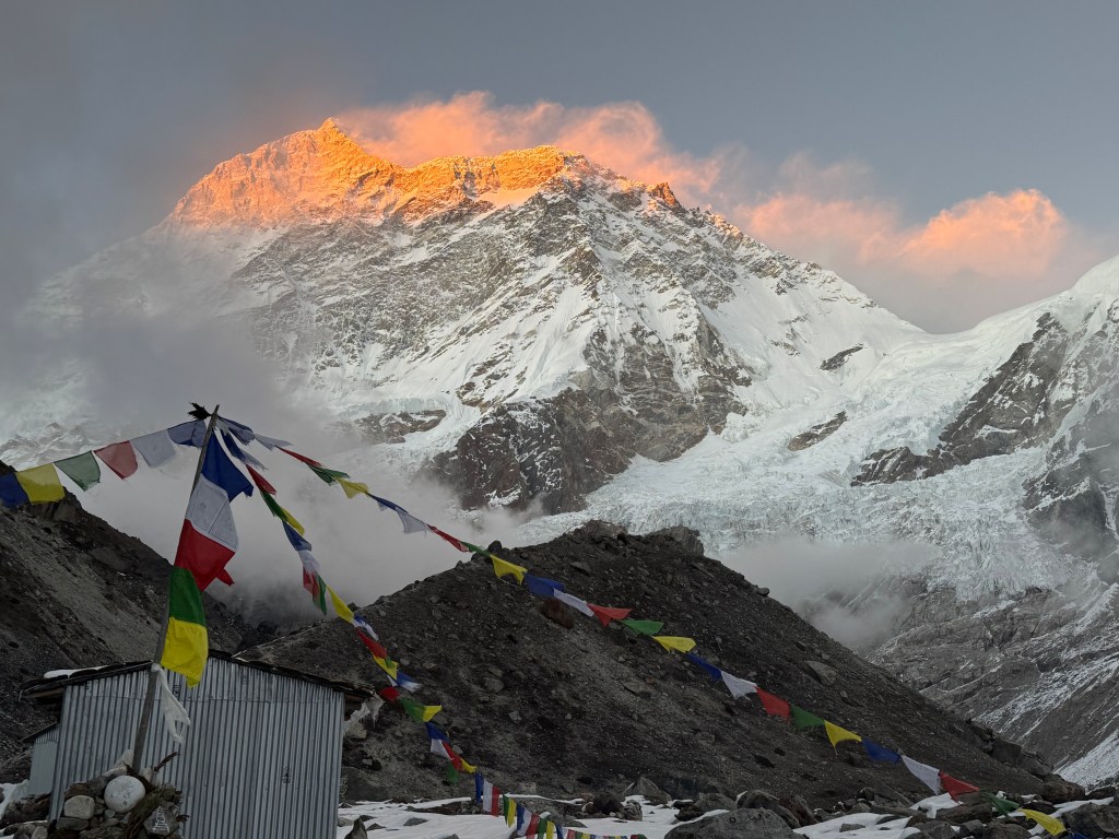
We were playing cards in the dining room. While we played, I saw one of the members of the Slovenian group quickly come inside. They informed their group promptly. The members dashed out of the room with cameras. We followed them outside and there it was, Mt Makalu, colored with crimson-gold in the fading light of the sun. The clouds still held sway but the view cleared just enough to unveil the glorious show. It was nature’s way of bidding goodbye to a splendid day. The winds were strong. We were grateful to the ladies of the Slovenian group. They kept vigil in the biting cold while we enjoyed the warmth of the dining room. It was tough to take the snaps. Operating the camera was impossible with gloves. We had to remove them. We kept taking the snaps ignoring the numbness of our fingers. The pain was worth. The upper section of the massif wore the crown of gold. Plumes of snow flew up from its summit because of the strong gales. The rest of the massif was shielded behind the clouds. The upper massif was floating amid the clouds with a crown overhead. We remained there and continued taking snaps till the last tinge of color faded away like a dying ember.

Makalu base camp
Makalu base camp, picture courtesy, Dhananjoy De

Thus ended a splendid day. We went back into the dining room and continued our play and gossip. The day ended successfully at the base camp. Members of all groups were happy. They were filled with a sense of accomplishment. That poured out in the form of song, dance and party around the chimney fire. All of them danced around to the tunes of rural Nepalese songs. Such scenes are often seen at the tea houses of Nepal. Why can’t the world live like this? It seemed there are no conflicts in this world. Everyone touched the hearts, understood the feelings of others and bode no ill-treatment towards anyone else. Language isn’t a barrier, neither is culture. Everyone is equal. All they care about is a successful and safe day of trek. The support staff goes to any end to make it happen and the travelers are grateful to them for that. We were satisfied while going under the blankets. Our minds were hopeful of a spectacular sunrise for the morrow. At 4870 m, we were sleeping at the highest altitude of this trek.

Langmale Phemathang

The Barun valley – Langmale

Earlier

Next

24th October

We entered Phemathang under darkness amid the roaring sound of the Barun river. I was the first to wake up at 4 AM. The dark sky was littered with numerous stars. But the bitter cold air, laden with moisture from the river, didn’t allow to enjoy it. I almost ran for the toilet. I was pleased to be back in bed to enjoy the rest of my sleep. These early alarms pose a challenge to wake up. After completing my morning duties, I get an additional hour of sleep. I enjoy this extra rest while others go about their activities. Brushing the teeth proved challenging as it meant applying ice cold water to my face. The soft light started to make inroads into the valley.

Phemathang
Phemathang

On the northern horizon, the sky was acquiring brightness. There, beyond the left edge of the hills, the crown of Makalu was visible. It was our next meeting with that mountain after the Khongma La. The surrounding was serene except for the roaring sound of the Barun river’s torrent. We went down towards the gorge. The river came down in leaps and bounds creating massive rapids. The vibration against the walls amplified the roar as the river forged it’s way down through the valley. A long way down somewhere it meets the Arun river which has it’s source in Tibet. The entire stream of the Barun river freezes in winter. After the Barun river submits all its discharge into the Arun, Arun takes over the baton. It then carries the combined discharge through the lower valleys of Sankhuasabha.

The Barun river, Phemathang, picture courtesy, Kunal Kishor

We followed our plan and had breakfast. Afterward, we wrapped some packed lunches (of rolled chapati and jam) in our day packs. Then we started the journey. That is because, beyond Yangle Kharka (the next place of halt), there aren’t any other lodges before Langmale. Actually, there is a lodge after Yangle but it is closed now. We saw a sick lady at Phemathang who was the owner of that lodge. She was going down to her village in the lower valley to recuperate. After the usual ceremony of a group photograph, we started our journey. The trail went gradually ahead along the banks of the river. We couldn’t see it because of the elevated height of the gorge. However, we kept hearing its sound getting louder. After some more walking, we reached a bridge over the river. The bridge transported us to the right side of the Barun river and the trail started moving up.

En-route Yangle Kharka
En-route Yangle Kharka, picture courtesy, Kunal Kishor
En-route Yangle Kharka
En-route Yangle Kharka, picture courtesy, Kunal Kishor
En-route Yangle Kharka

Given that we were in the valley, the route moved through the forests. This was at contrast to the trail yesterday which was above the tree line, over the passes. As we moved along, the Barun river kept company. The depth between the trail and the flowing river kept decreasing and after sometime Barun was flowing by our side. The valley started to open up. The Barun now appeared to flow along flat ground, distributed in multiple small and large streams. Just then, at the corner of a bend, a writing on a wooden board declared “Yangle Kharka”. There was a check post of the Makalu Barun National Park. A single official sat in the small room. I wondered how he must feel to spend his entire day in this room. It is far away from the rat race of life in the middle of nowhere. His only companions would be the surrounding mountains. The distant stream of Shivadhara falling almost from heaven and the streaming Barun river. Kharka means a meadow in the Nepalese language. Yangle was indeed one.

Yangle Kharka
Yangle Kharka, picture courtesy, Dhananjoy De
Yangle Kharka

The lodge was on the right with a set of rooms. One of the rooms advertised the facility of a hot shower, the first of it’s kind on this trail. Shivadhara is a sacred waterfall in this region. The legend says that Lord Shiva created this waterfall with a stroke of his trishul. It falls from a height of about 500 m from a hole in a cave. The route towards it diverts from a place beyond Yangle and that trail is challenging. There’s a section where one has to step over wooden planks fixed on a vertical wall. I’ve watched videos about it and kept it out of our syllabus. It also required more days. We saw many local groups heading for that place. It’s considered a sacred pilgrimage in this part of Nepal.

Picture courtesy, Kunal Kishor

We spent sometime in the wide meadow. The sun was shining bright. We had to cross the meadow to reach it’s corner. While doing so, we crossed many small streams. These were some of the numerous tributaries of the main stream of the Barun river. It flowed along the remote edge of the valley. We moved amid many small rocks spread among white sand. The surface of the ground indicated that they were part of the river bed in the past. It flowed through these areas. There’s no reason why it should not change its course again. The rocks had brown and red pigments making the sight beautiful. We saw it acquire shades of gold and crimson when we crossed this area on our way back. After sometime we entered the forest once again. The trail now had a consistent tree cover. It came in and out of the forest to kiss the banks of the Barun river. 

Yangle Kharka

Then came a set of staircases. After ascending them, we walked along flat ground under the shadows of tall trees. We saw clouds coming along and the sun soon started playing hide and seek. Just as the clouds started to take control, we moved out of the forest into another meadow. The trail was lined by rocks. It went through the meadow that was dotted with small bushes and trees. The diverted into two parts from a junction. A huge red cross was marked among the rocks in one direction. Hence we took the other direction.

En-route Langmale Kharka
En-route Langmale Kharka, picture courtesy, Kunal Kishor

It was about 12 when we stopped by a hut to have our lunch. The rolled chapatis hardened and we had a tough time to tear them into pieces. Once done, the pieces had to be forced down our throats, often with the help of water. Taste was unimportant, filling the stomach was. As soon we stopped walking, the cold winds started. This often causes a dilemma. Walking causes you to sweat, forcing to take off your jacket or hat, but halting brings the cold back. I repeated the spells of taking warm wears off and on, causing much inconvenience for the guide. Raju was walking with me and always helped me with these interchanges by holding my day pack. Beyond the bushes, the trail moved into a landslide area. Before that, we went past a closed house. We met the owner of this house in Phemathang in the morning. I stopped for a moment to have a look at the route ahead. It went through multiple landslide areas to reach at a base. There was huge jump in elevation at that point. Beyond that, the terrain wasn’t visible from where I stood. Beyond the horizon, huge massifs of the Himalayan peaks formed the skyline. We recognized Mt Nepo, Mt Chamlang and other peaks.

But Makalu wasn’t visible. Langmale lay somewhere on that elevated plateau. For us, the immediate milestone was to reach the top of that plateau. This was our second traverse of landslide zones after the one we crossed before reaching Phemathang. It didn’t appear that scary on this occasion despite being at a higher altitude. The daylight had a role to play and so did our state of mind. They kept coming one after another. For each, we had to cross a stream of debris. Boulders of different size & shape stood as obstacles and we circumvented or tiptoed over them. Some of them didn’t like our presence and threatened to topple us, but we finally managed to reach the base of the elevated plateau. It was a sight of wreckage and destruction. The trail rose through an ensemble of boulders and pebbles in leaps and bounds. We followed along with careful steps. On our way we came across a group of trekkers from Bengal on their way down. All of them were above 60 years in age. They shared their experience at the base camp. Their description of the route and the views lifted our spirits. They bade good luck and we moved in our respective directions. One part of my mind envied them as their milestone was fulfilled. Another part pitied them since their joy was over.

Barun hid from our view as we embarked on our upward journey. It was a series of steps trying to reach the zenith. Weather was cloudy and winds started blowing. I also felt a few drops on my body. That’s something I dreaded as no one wants to get wet. Fortunately, the precipitation remained constrained to a few drops here and there. The area was totally devoid of any vegetation.  We moved through heaps of boulders whose appearance bore proof of instability. A quick glance around tells that nothing is permanent in this landscape. The slopes became gentler. That told us that we were reaching the top. The sights of roof tops of the first lodge gave us relief. As we started going towards it, Raju screamed from behind to urge us to move ahead. There was another lodge at a higher altitude. We saw our porters, Anil and Manoj coming down the slopes to greet us. After starting at 7:45, we reached Langmale at 15:00. We were allotted a room that could host six persons. It had 6 beds and we used some of them to spread our luggage. It was good, cosy and a luxury under the circumstances.

Langmale Kharka, picture courtesy, Kunal Kishor

After settling in and changing clothes, we headed for the dining area. This was the first lodge on this route. It could match with their counterparts in the famed trails of Nepal in terms of comforts. Like other routes in Nepal, this lodge’s dining area was bustling. It was filled with trekkers, their guides, and porters. We somehow could lay our hands on a pack of cards and games were underway. Tea was served after sometime and it was accompanied with fried potatoes. They were spiced up to our taste. We enjoyed the taste thoroughly. That prompted me to order for it at dinner time as well. We were engrossed in the warmth of the dining space. A chimney was constantly being fed with dried yak dung cakes and fire. Suddenly, we realized that the windows of our room were open. By that time, it was late evening. When I entered the room, most of our clothes were moistened. The mist had made its way through the open windows. I cursed myself as I found the surfaces of the beds were also moist. Losing calm over what has already happened was of no use and I closed the windows to prevent further damage. Back at the dining area, the card games were fully on. We met the owner of the lodge. He was a skilled Sherpa mountaineer. His summit credits include Mt Everest. They also include other peaks over 8000 m in altitude. We were relieved to know that he also owns one of the lodges at the base camp. That’s where we were slated to stay. We were served dinner and that’s when I realized my mistake. I ordered a full plate of fried potatoes which was way beyond my capacity. In the evening, three of us shared a plate, but Dhananjoy opted for Yak soup and Kunal, something else. I kept coaxing them into sharing my dinner and they partially obliged. I managed to delegate some of the rest to our guide and porters. These efforts brought the remaining quantity within my limits. After a brief planning for the next day, we headed to our rooms. My worries about moist clothes vanished quickly as our body warmth was enough to overcome it. We were sleeping at 4410 m.

Earlier

Next

The Barun valley – Khongma

Earlier

Next

21st October

We had a comfortable sleep on good beds under warm blankets. Dhananjoy had a different experience. The walls had gaps near his bed which let in cold air. Weather was playing good with us and today wasn’t an exception. While our breakfast was being prepared, I sat in the sprawling lawn to enjoy the sunshine.

Tashigaon
Tashigaon

There I met an Estonian lady. We saw her the day before. A few days ago she came to Tashigaon as a part of a group. Sickness compelled her to stay back while her group moved ahead. She had spent a couple of days here already. Her plan was to rejoin her group on their way down. The lost opportunity to visit the base camp didn’t seem to bother her. She’s been making strolls to the local village, observing their daily routines. Apparently she was enjoying her stay at this tranquil remote Himalayan corner, it’s laid back life.

Tashigaon

Our conversations moved in different directions as we both asked questions about each other’s countries. Estonia is one of the three countries on the Baltic shores, along with Latvia and Lithuania. These countries were Soviet republics earlier and became independent in the early 1990s when the erstwhile Soviet Union broke up. She has lived through the Soviet era. She has had first hand experience of living under two very different regimes. Conversation with her revealed that the Soviet era brought significant state-run development. This included education, infrastructure and public sector economic measures. At the same time, it was very secretive and came with riders of restrictions. Press was controlled and so was communication & travel to countries other than Russia. Separation broke these restrictions, but also meant that these countries now had to stand on their own. Today, the Baltic countries share economic & military alliances with Western Europe. The political landscape has changed for them from what it was in the Soviet era. They adjusted to the new realities. However, with leadership changes in different countries, new conflicts started. The contours of political alliances are changing again. This raises new challenges including fear of territory loss. The Baltic nations are no exceptions. In these uncertain times people rely more on their own sources of information. They prefer the internet and social media over official agencies. It’s not very common to come across persons who had been part of different countries. Even I’ve seen my own country go through rules by different political parties with different ideologies and economic policies. But all through that time, I’ve been part of the same country. My ancestors, however, were born in an undivided but colonial India. Then they became part of an independent but partitioned country. We’ve heard about their experience about pre and post independence eras. It was a similar experience to hear about her journey living under different political systems. After being told that our breakfast was ready, we headed for the dining area. Our baggage were ready to be picked up by the porters. After breakfast, it was time for a group photograph and then we started.

Tashigaon, picture courtesy, Dhananjoy De
Tashigaon

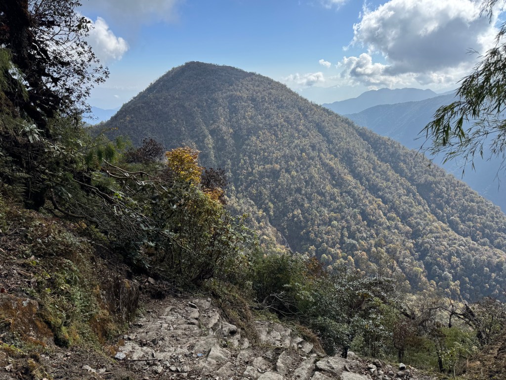
Today’s journey was all about gaining altitude. Looking at the hill in front of us, the porters pointed towards a top. We would have to cross over the edge and travel further over adulating grounds to reach a place called Khongma. We planned to start from a height of about 2100 m. Our goal was to reach 3500 m. This was a gain of 1400 m in a single day. The maximum gain of altitude in a single day that we’ve experienced before was 800 m. That was from Phakding to Namche Bazar during the Everest base camp trek. Though it was challenging, there was a good part. This was being attempted at the lower section of the trail where there is forest cover. Itineraries are always designed that way. The longest marches or hikes are kept below the tree line. The higher you reach, shorter the travels become. At high altitudes, it is often desirable to reach your destination before lunch and have the remaining day for rest. We started at 8 AM. The target was to hike halfway through the route to reach Danda Kharka and have lunch. The word Danda means a hill in Nepalese language. Similarly, Kharka refers to meadows. The hike should take about 2.5-3 hours. Beyond that, another hike for a similar duration should take us to Khongma. We were told that the hike to Danda Kharka was steep, but the hike beyond that was relatively gradual. The trail left the lodge. It moved past agricultural fields and village homes. After a few bends, it entered the forests. It was covered by a canopy. The shade protected us from the heat. As altitude increased, rocky staircases started appearing and we started feeling pressure on our knees. We came across a few landslides where we had to cross by stepping over loosely held rocks. At another place, a stream flowed over these rocks. We had to cross over it by placing our feet carefully over these rocks which were smoothened by the torrent. Despite the issues, we found our way through to a position. From there, we got a view of the stream, its flowing bed, and the trail beyond. We took time to stand at that position in turns to get our photography done.

En-route Khongma

While walking through the trail, we suddenly heard a grunt from the bushes along with sounds of tingling bells. A dark creature was moving through the foliage. It was a grazing yak. We heard similar sounds from the surrounding bushes. Other yaks were grazing in the bushes and the tingling bells hung around their necks.

En-route Khongma
En-route Khongma

We continued moving up the stairs. Standing at the base of a set of stairs, it seemed that the ground beyond the top leveled gently. That gave me incentive, but as I moved closer to the milestone, upper stairs revealed themselves. That pattern repeated as we kept moving. We turned back to look at the trail below. The fields and houses of Tashigaon were below us.

En-route Khongma
En-route Khongma

Their diminishing size told us that we were gaining altitude. Then came a place that allowed the porters to sit and rest, leaning against the wall. We took the opportunity to gulp down sips of water. Some of us preferred to sit, but I chose not to. For me, it would have made it more difficult to regain momentum after that. For me, en-route rests are about stopping walks, but still standing on my feet. In this aspect, probably I resemble horses more than humans. Apparently, horses don’t lie down while sleeping.

En-route Khongma
En-route Khongma

As every toil comes to an end with some rewards, so did this. In our case, the reward was reaching Danda Kharka. We removed our day packs from our backs, rested the hiking poles along the walls. Orders for dal-bhaat were given. While they were being prepared, we sat in the sun. This Lodge also belonged to the same owner who owned the lodge at Tashigaon. We saw his wife and their elder daughter Doma doing the cores. There was a lawn beside another Lodge which overlooked the valley. We went there in search of some photographic views and were not disappointed.

Danda-Kharka, picture courtesy, Dhananjoy De
Danda-Kharka

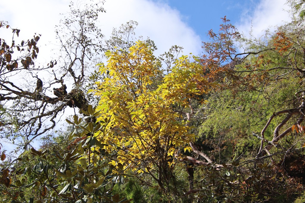
Autumn stamped it’s impact in terms of varied colors of the foliage. The forests were lightened up with crimson, yellow, brown and other shades along with green. In the lawn, a mat was spread out and a little girl sat on it. She was engrossed in her drawing pencils, paper & other artifacts. There was a doll sitting beside. Her attention was divided between the drawing pencils and the doll. I tried to entice her into a pose for photograph but was flatly denied. Dhananjoy succeeded where I failed. He had the necessary skills and was capable of convincing her into a photo shoot. She had all the time and grace in the world to act as a model for many photographs. We got another chance to have her company when we stayed at the lodge on our way back.

Danda-Kharka, picture courtesy, Dhananjoy De

Walking after lunch isn’t easy, at least to start with. Especially when there’s hiking involved. We were told that the slopes would be gentler. It was true initially. The bends came after longer duration. That changed soon and the trail turned into a path fraught with frequent switchbacks. Switchbacks are on trails where the need is to gain altitude briskly within short aerial distances.

En-route Khongma, picture courtesy, Dhananjoy De

I started keeping short milestones. Instead of thinking about the remaining path, I started thinking of attaining the immediate. For example, the next switchback bend. The idea was to reach there, stand, and take a few deep breaths. Then, fix the gaze towards the next milestone. Soon I was traveling alone as Dhananjoy & Kunal moved ahead. I could see them as well as others ascending the trail from my position below.

En-route Khongma

A series of switchbacks continued till the ridge at the top. One couldn’t see what lay beyond that. That makes one feel that the top is the zenith and things would ease after that. In other words, either an adulating trail or a descent would follow. I call this phenomenon as “Altitude illusion”. What could lie beyond the point where the hill seems to end, apart from a flat track or a descent? Only after one reaches near the point, the subsequent hike reveals itself. Earlier it used to give a depressing feeling. That’s why I’ve stopped thinking about it.

En-route Khongma
En-route Khongma, picture courtesy, Dhananjoy De

In the meantime, the slope was getting steeper and I was forced to create milestones even before switchbacks. With every switchback, the lodges of Danda Kharka became smaller and so did Tashigaon (which was still visible). We reached another set of houses. These were mere dwellings and places to keep domestic animals like sheep and yak. We quenched our thirst, popped in some lozenges in our mouths and resumed our hike. We repeated the same pattern of interspersed hikes and halts. Eventually, we reached a place where there was a stupa with prayer flags. I noticed that the trees have reduced. The remaining rhododendron trees have also dwarfed. That told us that we were nearing our destination. It was about 2.30 PM.

En-route Khongma
En-route Khongma
En-route Khongma, picture courtesy, Dhananjoy De

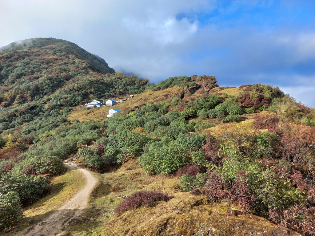
We rested for sometime leaning against the wall. The rays of the afternoon sun started taking a golden hue. We saw glimpses of the distant Himalayan peaks. They were partially shielded by light clouds. After sometime, the slope became gradual and walking became an evening stroll. The trail now meandered through bushes. We reached a flat top where there were two lodges. Our destined lodge was a few steps beyond that point. Now that destination was in sight, we focused on the surrounding bushes. We also looked at the valley and the distant mountains that formed the silhouette.

En-route Khongma

The trail moved ahead along the hill. We saw it rising beyond our destined Lodge. It went all the way up to a top where there was a watch tower. It appeared as a small toy even lesser in size than a matchbox. We have an extra stay at Khongma for acclimatization. That viewpoint was chosen as a destination for the morrow for sunrise views.

Khongma
Khongma
Khongma

The name of our lodge at Khongma was “Makalu Danfe Lodge”. “Danfe” is the name for the bird Monal in Nepalese language. It is a very colorful bird, found at higher altitudes of the Himalayas. They can be found in the Indian states of Himachal Pradesh & Uttarakhand. We also saw it near Namche Bazar. It is designated as the national bird of Nepal. It turned out that this lodge too belonged to the same owner from Tashigaon. It was being run by his son, a Sherpa boy named Ming. The room was not as good as the one at Tashigaon, but it had the basics right. The lodge was two-storied. The dining space & living rooms were at the top floor. A wooden staircase at the center connected to the ground floor which had the toilets. After settling in our rooms, we went out and sat in the open, enjoying the warmth of the afternoon sun. We called our homes using my international roaming pack. The network was very feeble and disappeared quickly. The evening was spent playing cards. The French group (who were targeting the Sherpani Col pass), also stayed with us. We spent time chatting with members of the group. Their porters were jovial. After dinner, we went under the blankets. The clock alarm was set at 3.30 AM for the next morning. We were sleeping at 3500 m.
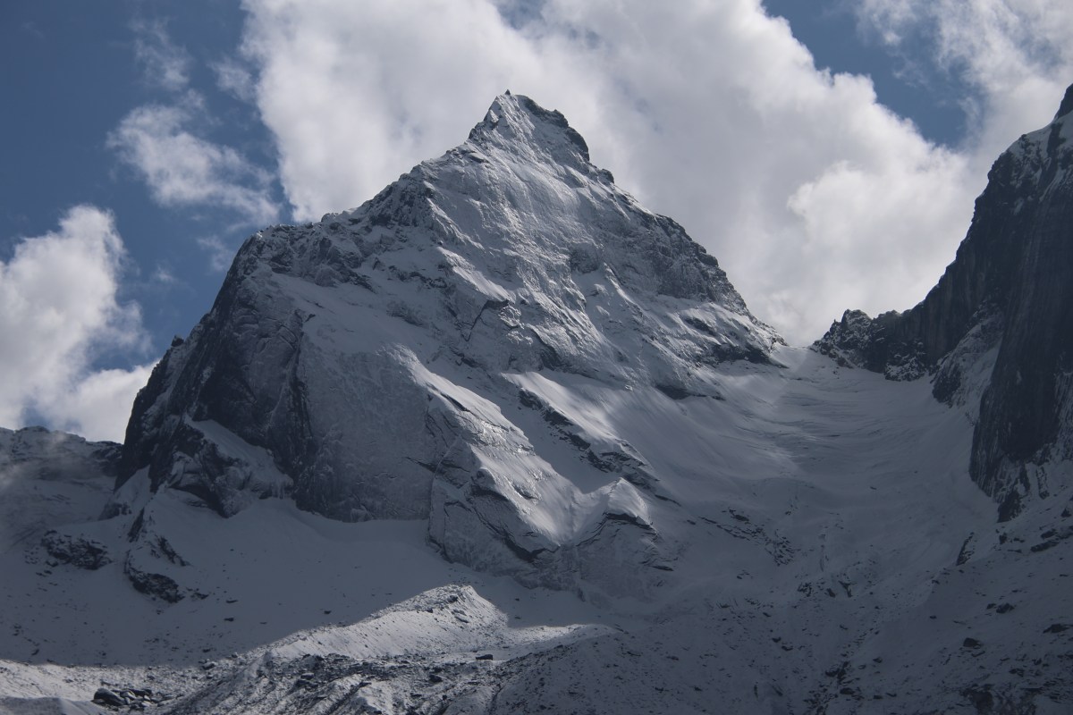
Earlier

Next