15th April, 2026
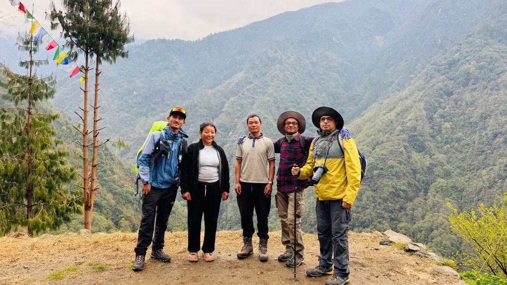
We woke up to another cloudy morning, but there was no drizzle. A member of the French team jokingly said “If you see dogs anywhere on the route, slit their throats”. I knew the reason. Dogs kept barking throughout the previous night which must have been a nuisance for their sleep. After breakfast, it was time for group photographs and then we started off.
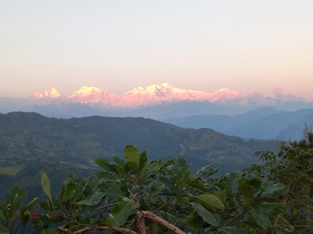
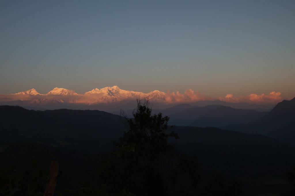
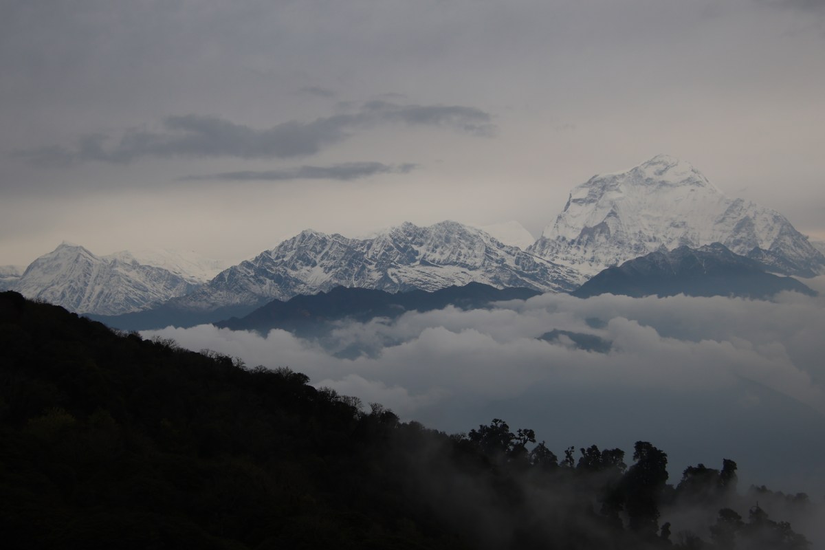
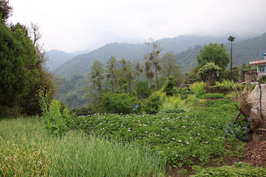
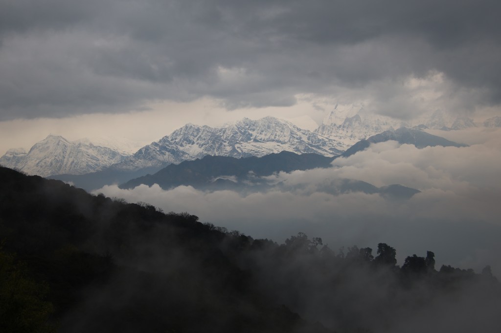
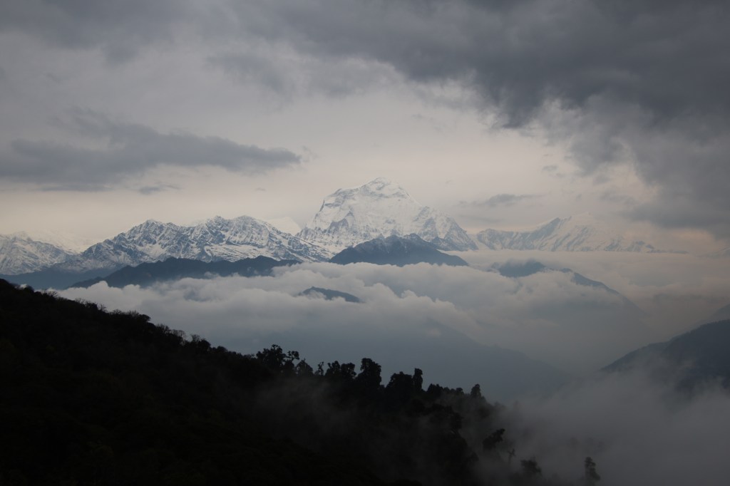
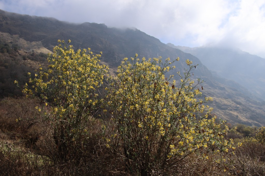
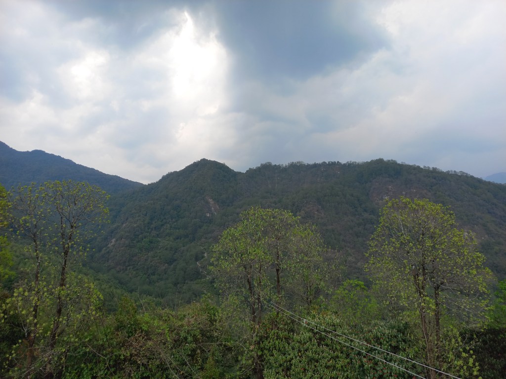
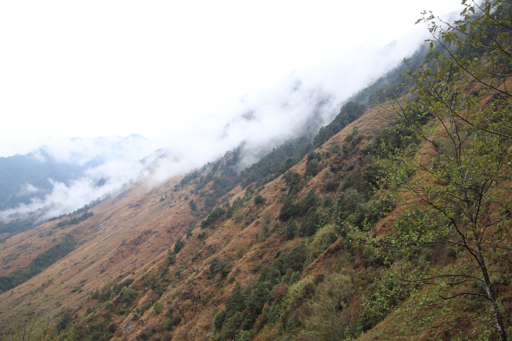
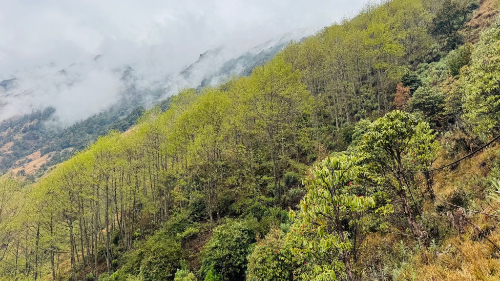
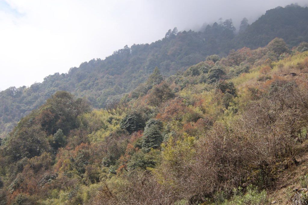
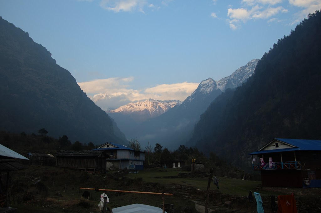
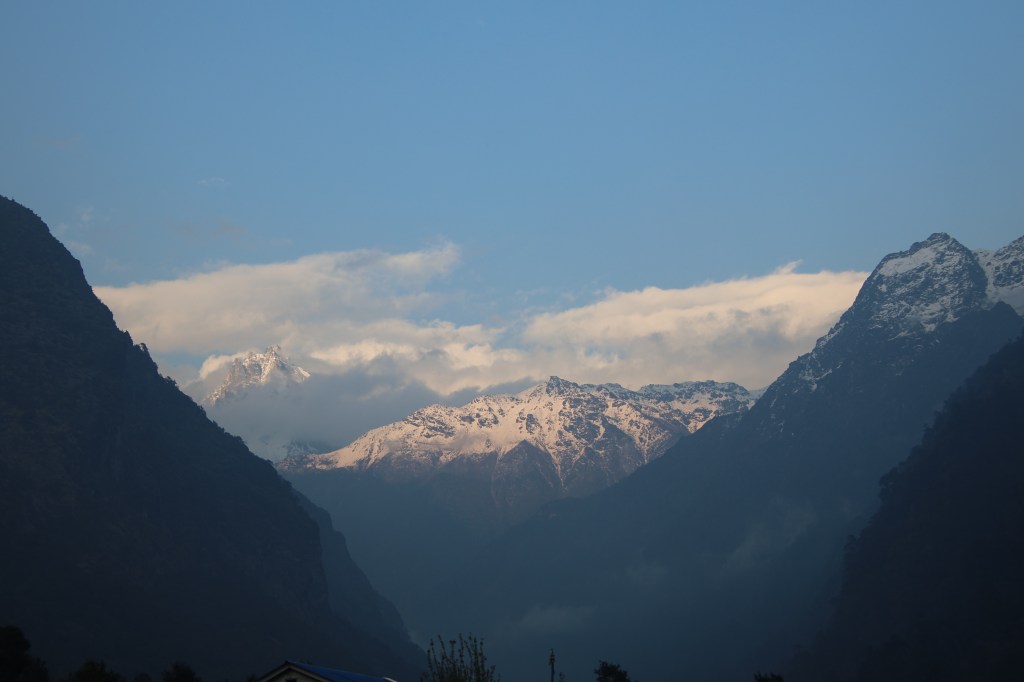
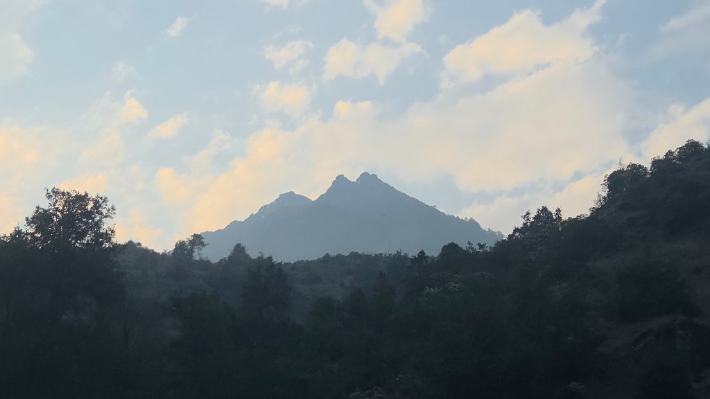
A gradual stroll led us out of the village. The sun started peeping out amidst the clouds. In a few moments, we were walking in bright sunshine. Ferns lined up on both sides of the trail. Their fresh leaves were bright green. Bushes and trees gave way to yellow grasses which filled the slopes. We now started walking along an exposed ridge. The valley was wide open in front of us. Looking back, the huts of Amjilosa were visible at some distance. Waves of yellow grasses went up along the slope on our left till they reached the boundary beyond which forests start. Looking to our right, successive wave of grasses went down towards the valley floor.
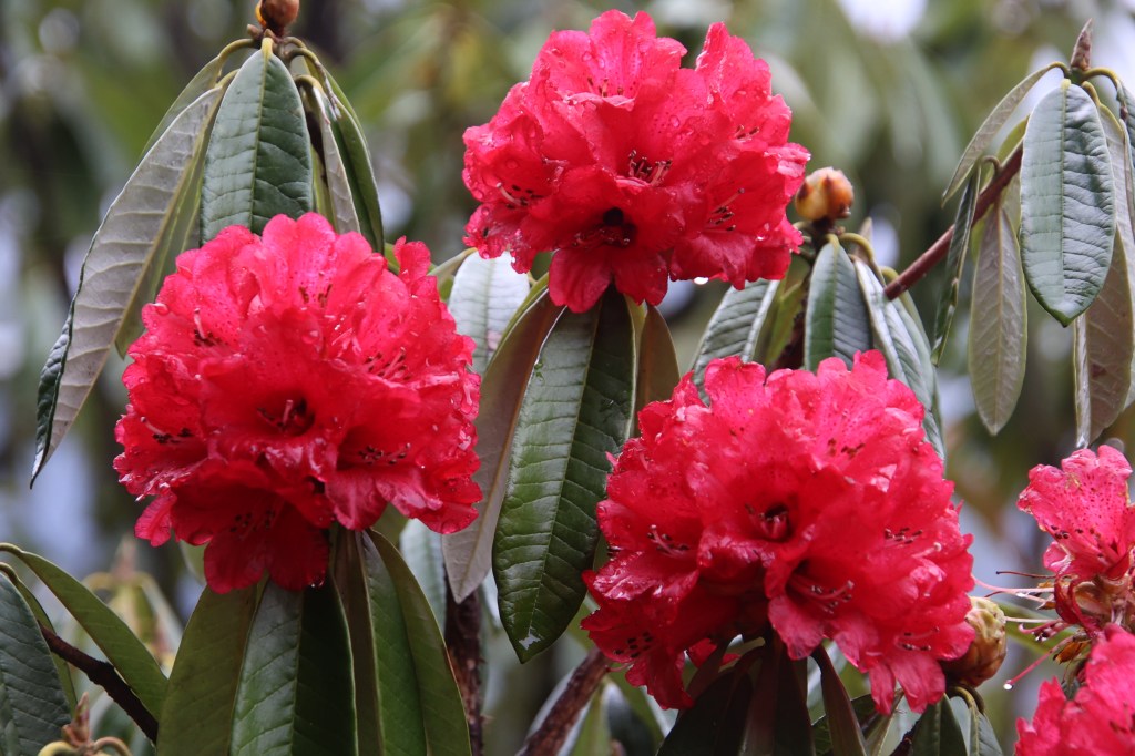
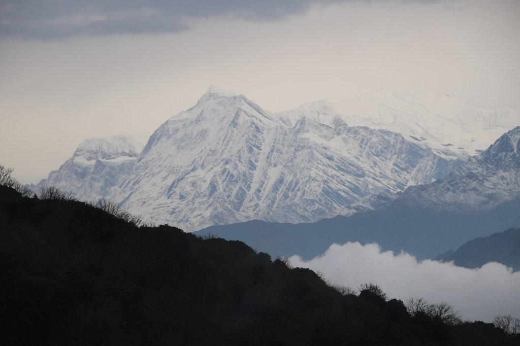
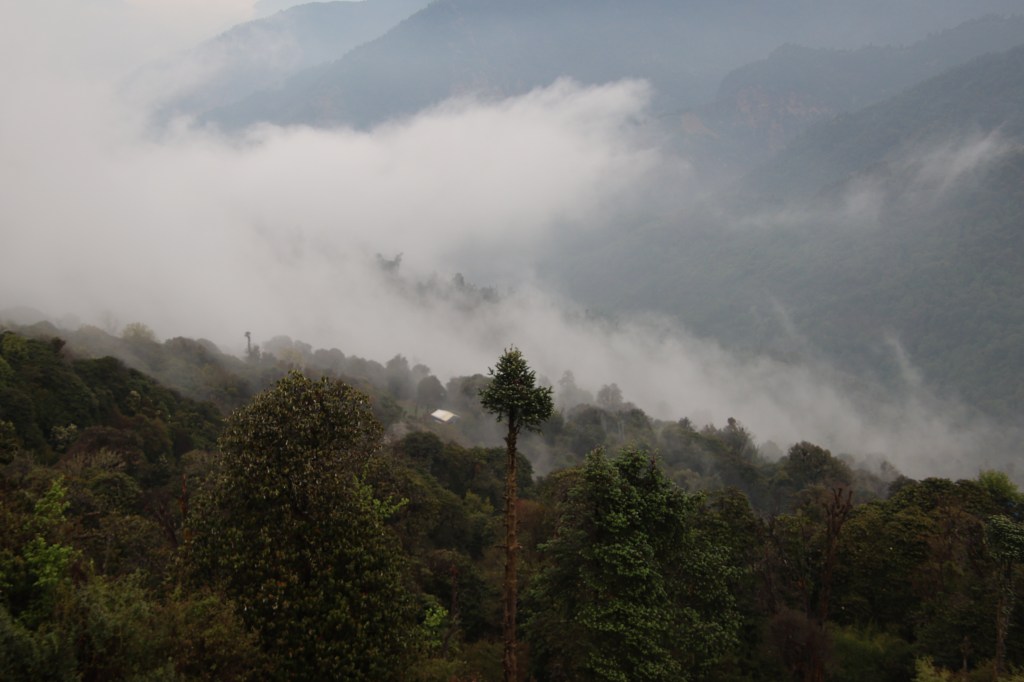
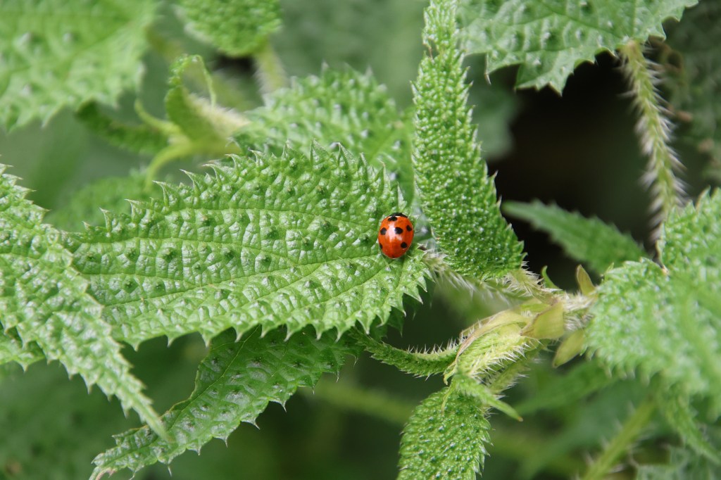
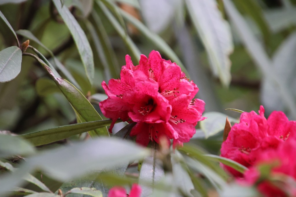
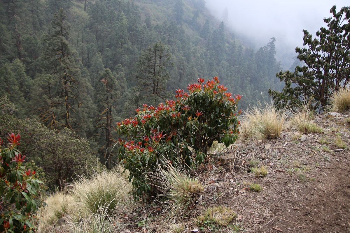
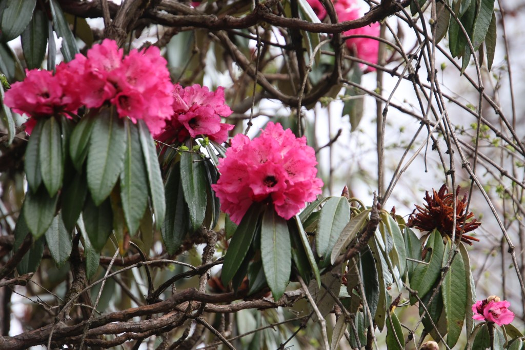
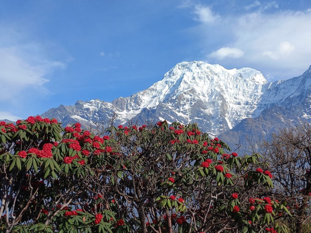
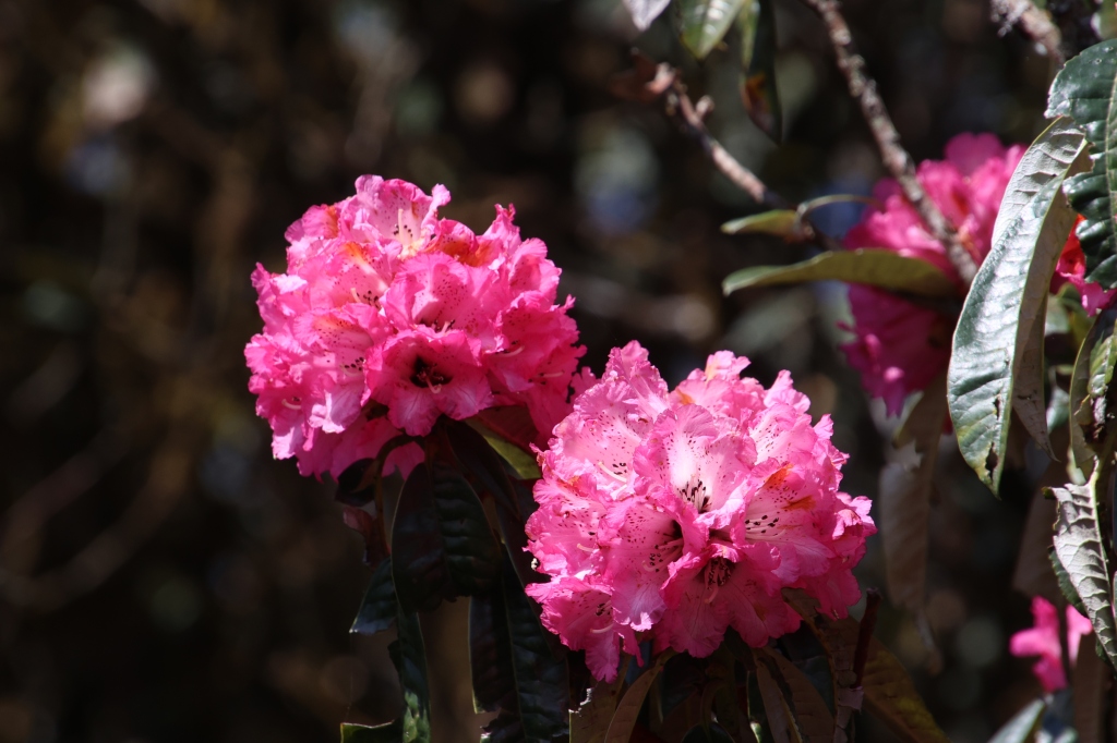
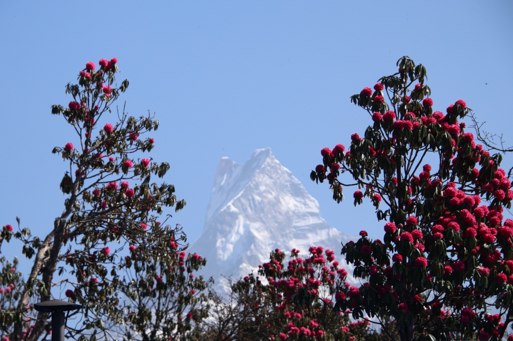
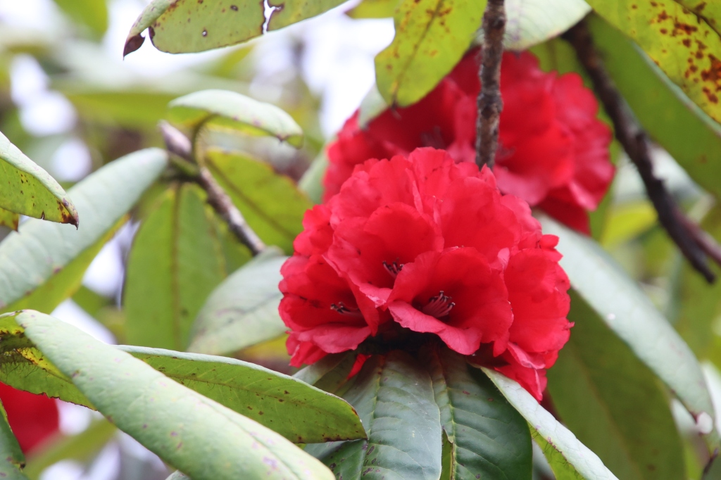
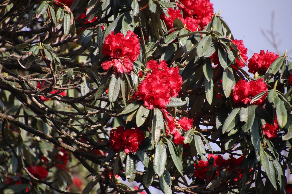
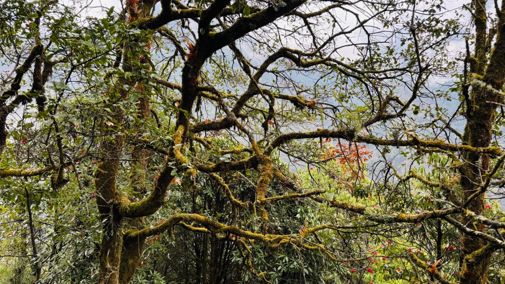
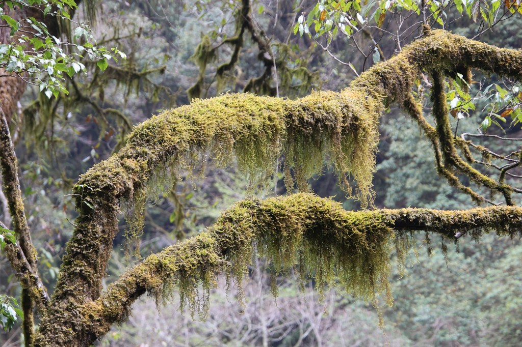
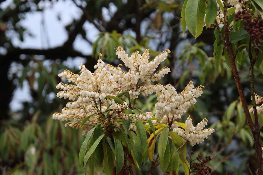
Few rhododendron trees started appearing. The trees had a scarlet bloom. The place was windy because it was exposed. The winds created waves among the grass fields. After sometime the trail started descending and once again we entered the forests. The colorful foliage reappeared. What started after Phedi on the previous day, continued in this part of the trail too. The track moved through multiple bends, many of which were graced by waterfalls which came down from the slopes above, in leaps and bounds.
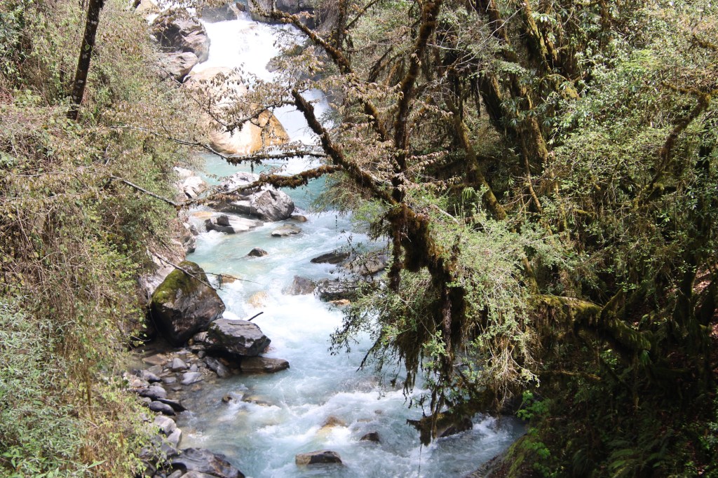
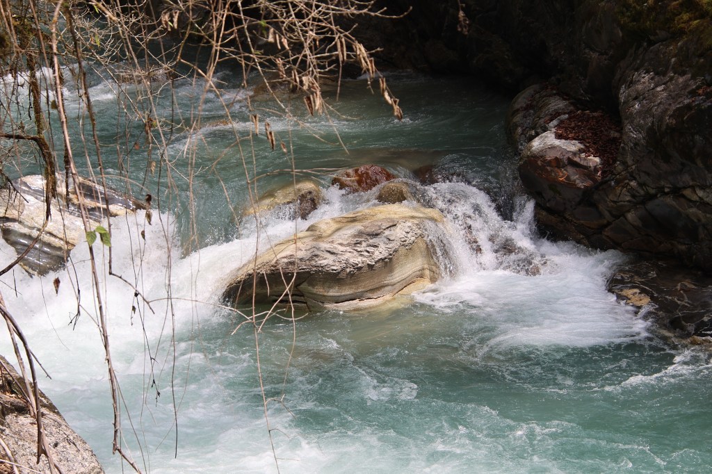
The accumulated snow from the winters had just started to melt causing such waterfalls. The larger streams had iron bridges laid over them, while we tip toed over the rocks for crossing the smaller ones. While starting from Amjilosa, I had a windcheater on my body, but profuse sweating forced me to remove it. Sunlight played hide and seek with the porous canopy.
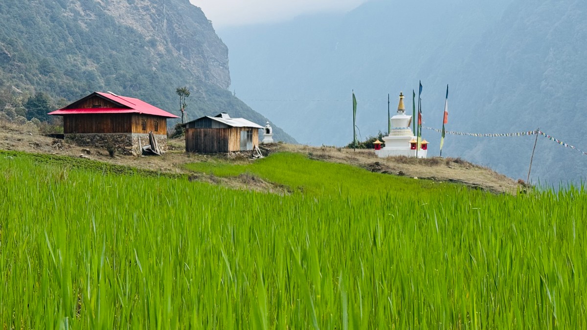
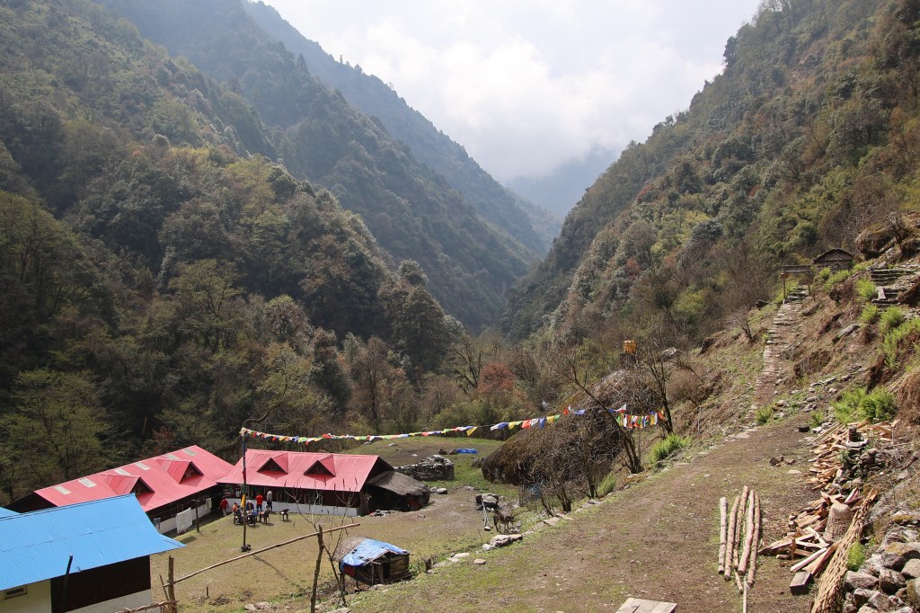
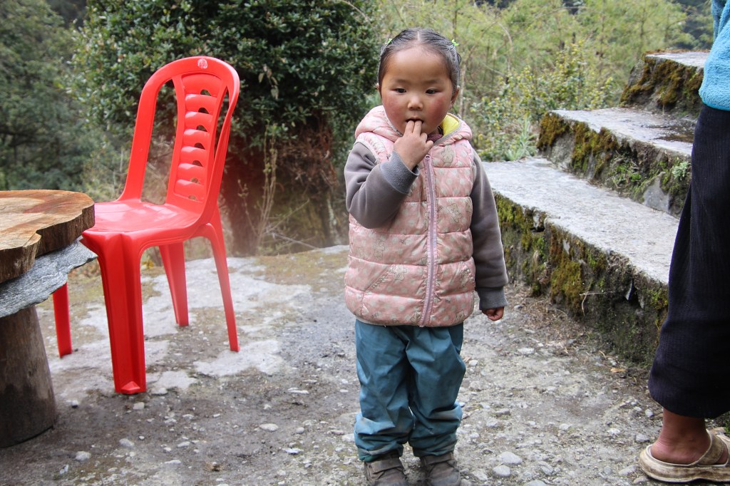
Gradually we came to an valley. It was shaped like a bowl and at the bottom of it, there were a few tea houses. The place was called Thyangam. Some boarders were enjoying their tea in the bright sunshine. We stopped for sometime. That allowed us to unstrap our backpacks. A few sips of water was gulped down. It turned out that one of the tea houses belonged to the same owner who also owns a lodge at Gyabla, our destination for the day.
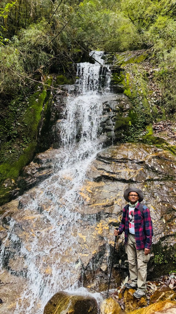
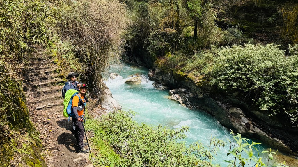
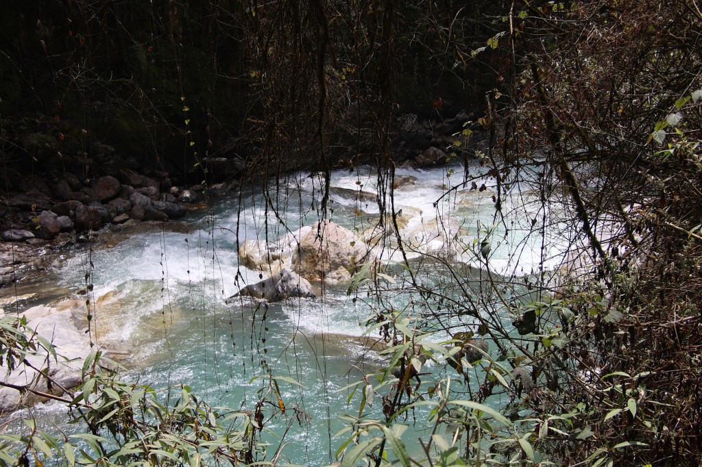
Without wasting much time, we resumed our walk. The Ghunsa river came nearer. We came near a waterfall. A wooden bridge went over it. The stream descended in leaps & bounds in its eagerness to join the Ghunsa river. The place where the bridge joined the other side, the track was broken. Loose soil came off and pebbles rolled down under our feet as we climbed it to regain the trail. After crossing this section, the trail eased out.
After walking sometime on level tracks, we reached a base from where the trail moved up a steep slope. We stood there and looked up. A series of rocky staircases went up in multiple switchbacks and disappeared amidst the forest. Each of the steps had a significant height and it required us to take large leaps to scale them. A small stream came down along the stairs which made them moist. Since the stairs went under the shade of the canopy, they were damp and the moss cover made them slippery.
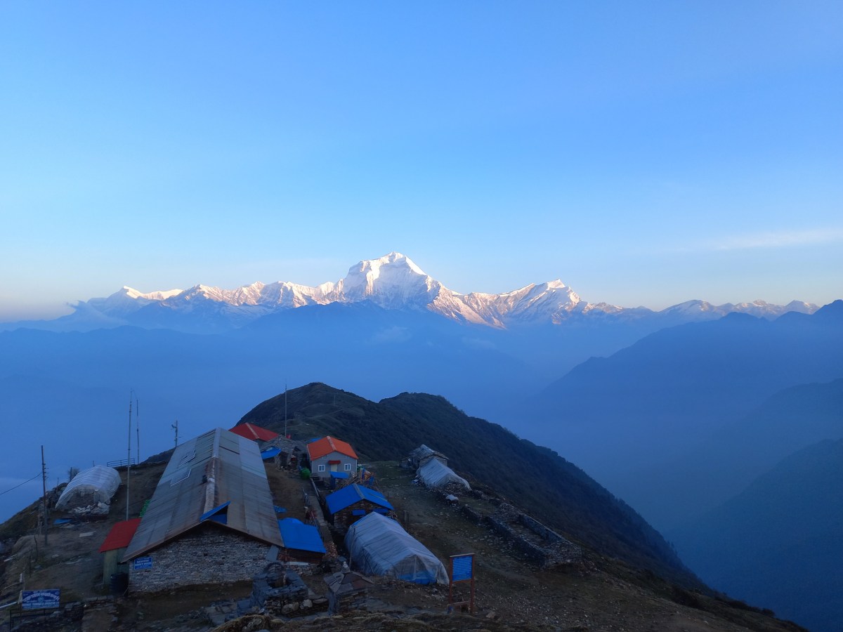
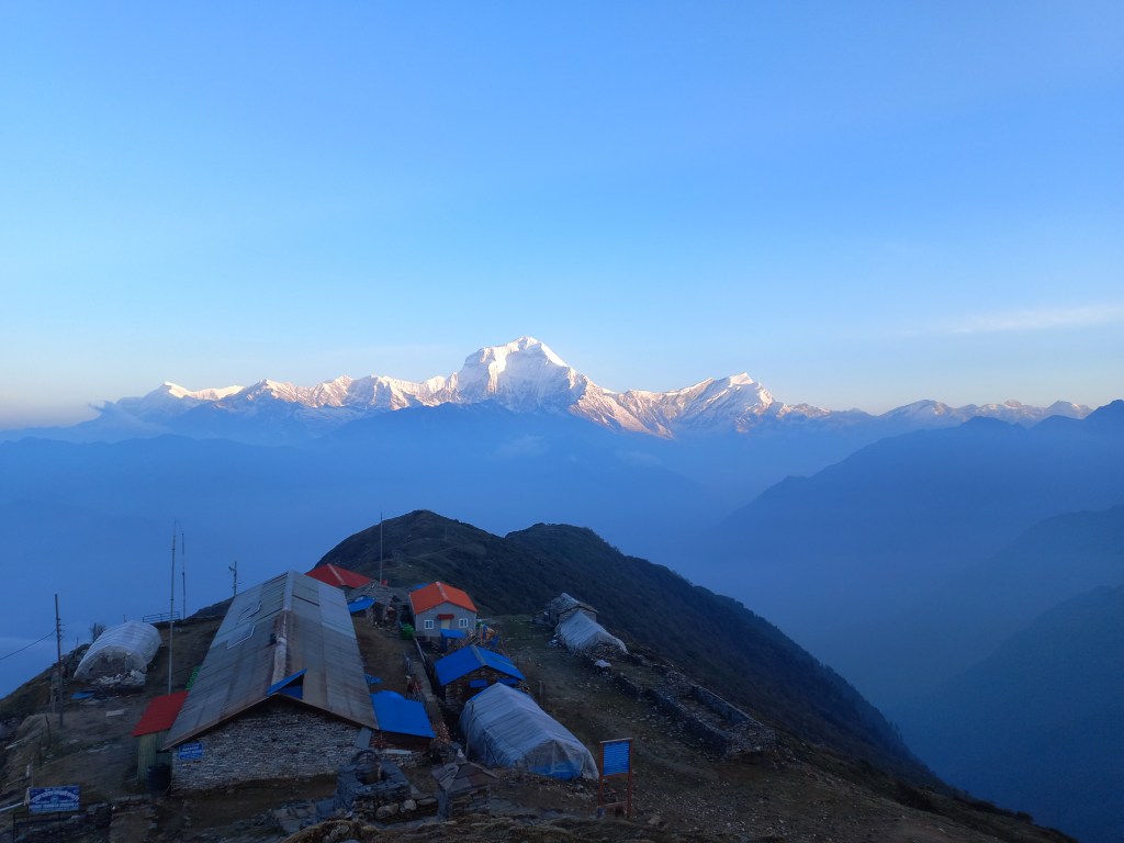
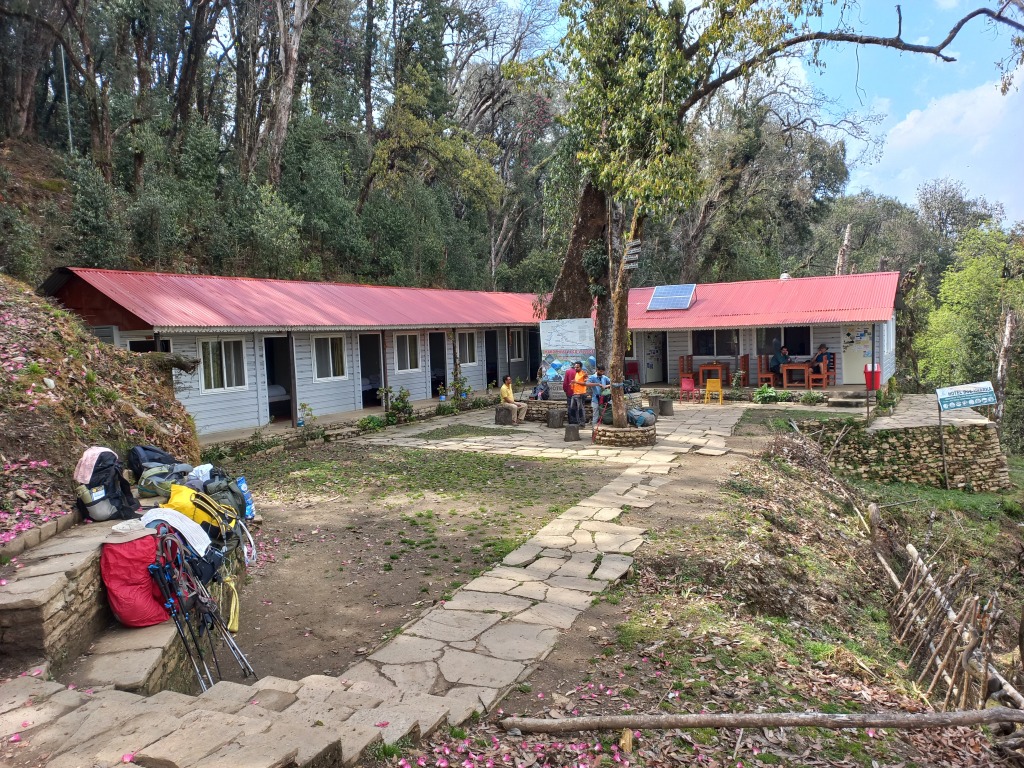
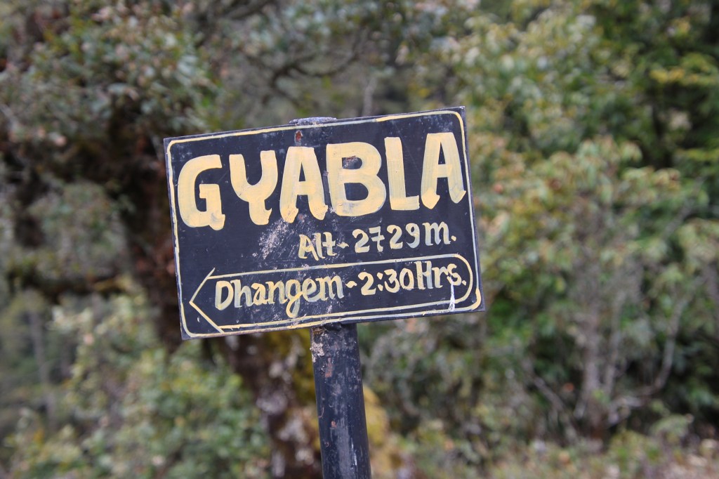
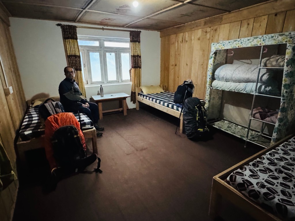
We started climbing them gradually, giving many breaks to breathe through our mouths. The switchbacks continued and after a significant hike, we reached at the end of the stairs. The walk from hereon was gradual. After sometime, the roofs of the lodges could be seen. Gyabla was in sights. There were three tea houses. One of them was really big. It was two storeyed, placed in an open valley, on level ground. Hills surrounded it from all sides. “Shingi Namjong” welcomed us with open arms.
We were awestruck by the quality of the room. There were two beds placed adjacent to its walls, spread wide apart. A center table, wide enough to hold sufficient number of items. On another corner, there was a shelf where fluffy warm blankets were placed. The beds were wrapped with another set of warm sheets. We were overwhelmed by the facilities. The kitchen itself was very big. On one side of it, was the cooking area. It’s walls were equipped with wooden shelves. Different utensils filled these. On the opposite side, there was a small window which opened towards the dining space.
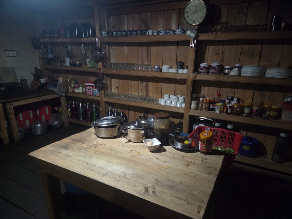
The window was used as a counter to hand over the meals after preparation. Porters or guides of different groups served them to their respective members. As our meals got prepared, we went out to the lawn and hung our clothes to dry them up. The lawn was big. A wire was strung up along its length to allow people to dry their clothes. At the end of the lawn, a trail went up towards the upper regions of Gyabla. There was a monastery nestled in the upper Hills. Long strings of colorful prayer flags were hung from its top. It was at the lawn we met a staff of the lodge.
He was from Darjeeling. Every year, during the trekking/expedition season, he comes to Gyabla for work. The walking trail takes him to Sekathum/Itahari, then a shared jeep to Taplejung. A drive for a few hours takes him down to Fikkal (we saw it on our way towards Taplejung). From Fikkal, a separate route goes towards Pasupati market, which lies on the border with the Indian state of West Bengal. From there, Darjeeling is just a couple of hours away by jeep. The spring or summer season lasts till mid of May, after which lodges close down. They reopen again in the month of September for the autumn season. They close again in late November or early December for the winters which lasts till February. We were told that our lunch was ready. The dining space was a huge square area. There were some doors on its left wall, which opened towards the rooms. Members of the owners’ family stayed there. We occupied one of the tables and meal got served. Dal bhat (with its usual elements) and egg curry. We pounced on the meal but I lost control and ended up filling my stomach with rice, lentils and “saag” by a disproportionate amount. That left little room for the eggs. It was a shame that I couldn’t do justice to the egg curry. I somehow stuffed it inside.
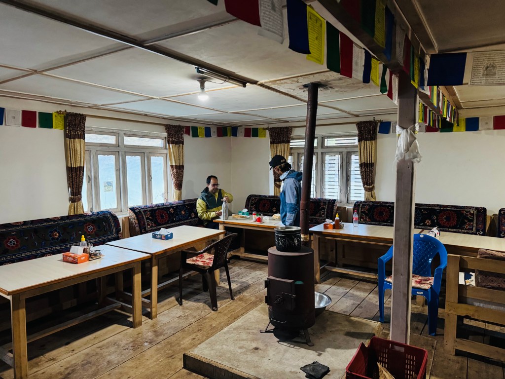
Clouds came on and off and they sent me in a tizzy. To be honest, I often get obsessed with getting my clothes dry. I was in two minds about the clothes. Should I leave them in the open to allow the sun (which was ever elusive) and the winds to dry them or should I bring them over to the dining space, where there was a fire place. We met the French group again. There was an American couple too. Many others were present at the dining space, which was bustling. Finally, the staff started opening the lower chamber of the chimney and started putting in cakes made from dried yak dung with supplements of wood splinters. That prompted me to bring my clothes inside and hang them near or above the central fire place.
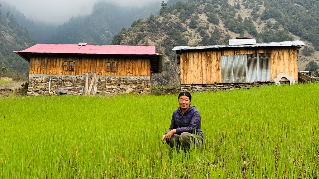
Dhananjoy went out for some exploration in the local village. He tried enticing me into the initiative. However, the incentive wasn’t strong enough to dislodge me from the comfort of the warm dining room. After he came back from his excursion, he showed the pictures. He ventured into the open fields, spent time with the local farmers. They obliged him with photographs, posing along with their sickles.

We enjoyed our beers along with popcorn, which was provided by the lodge as a free supplement. We asked them to delay our dinner, but it came in earlier. When asked about the reason, the owner (a lady named Sonam) said we’d need time to digest the dinner, especially after beer. She was smart enough to put it on us. Thin crust pizza was on the menu. I keep getting amazed with the cuisines on offer in these remote areas. There was more surprises on offer at even a more remote place higher up on the trail. That’s a story for later. Dilal informed us that the walk for the next day to Ghunsa would be similar as today’s. We’re likely to reach there by lunch time. That would be the last place of stay within the tree line.
After dinner, we retired to our room. The comfort and warmth soon engulfed us. We were sleeping at 2730 m.