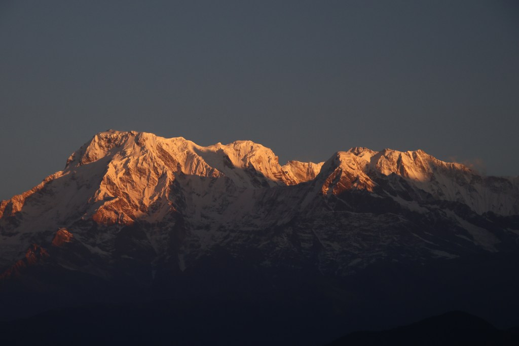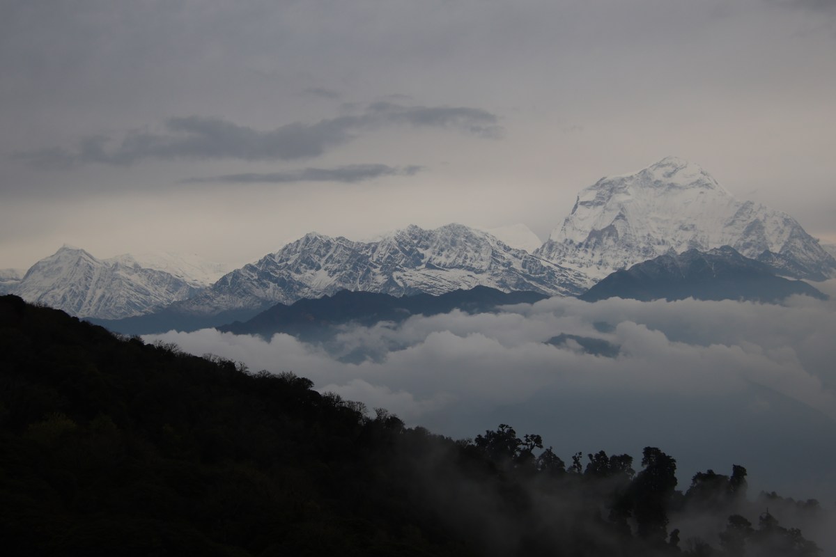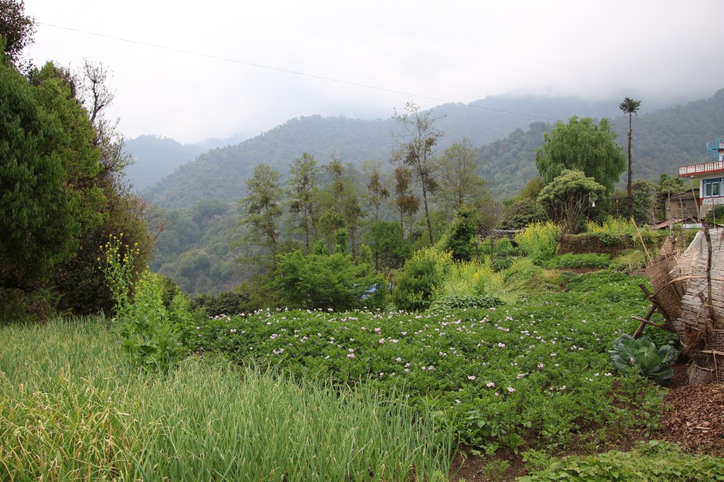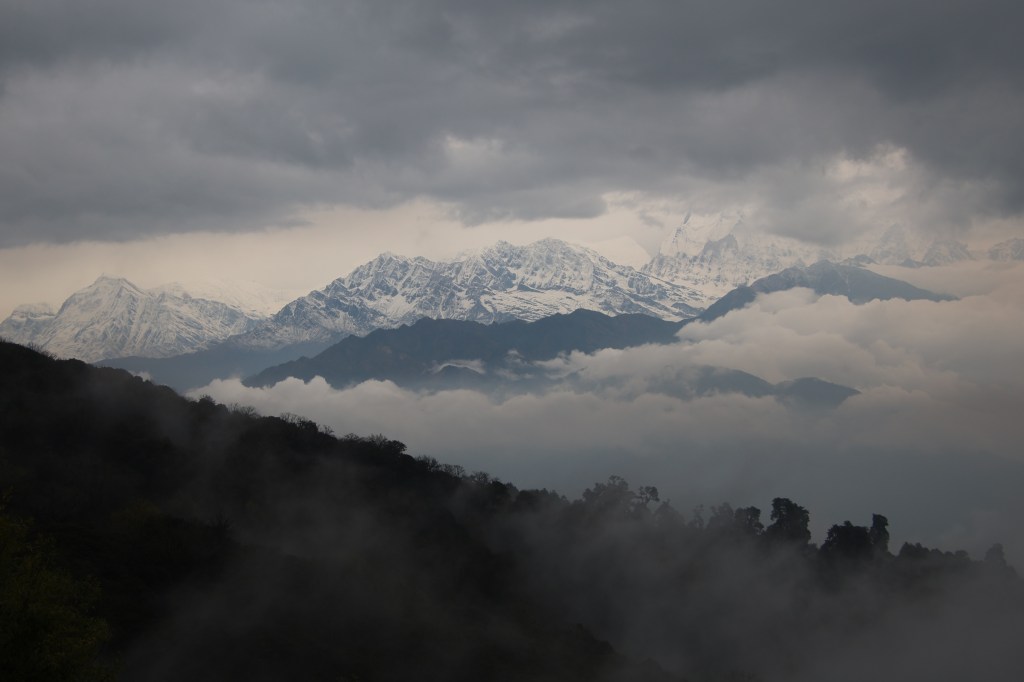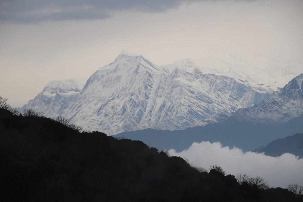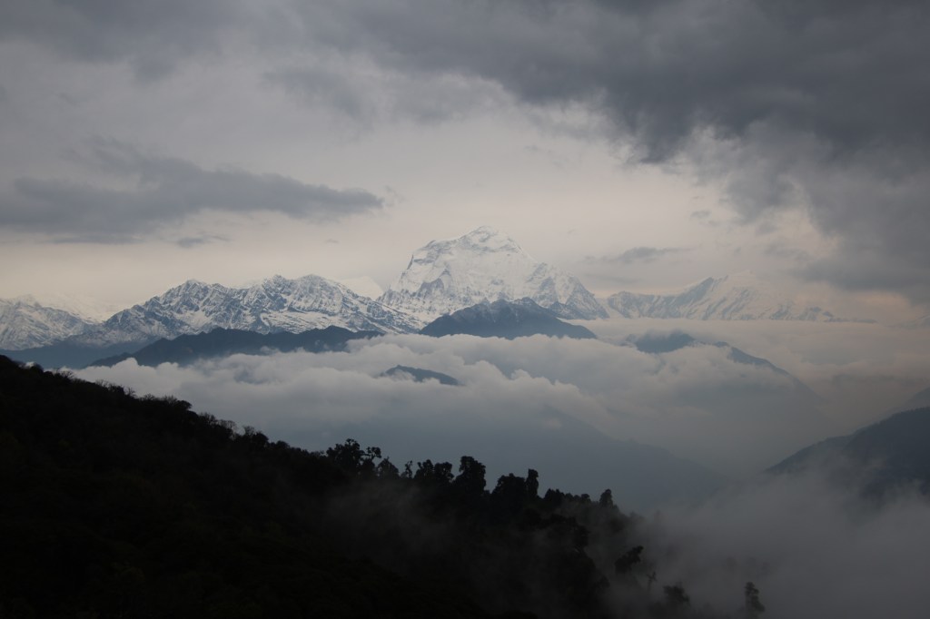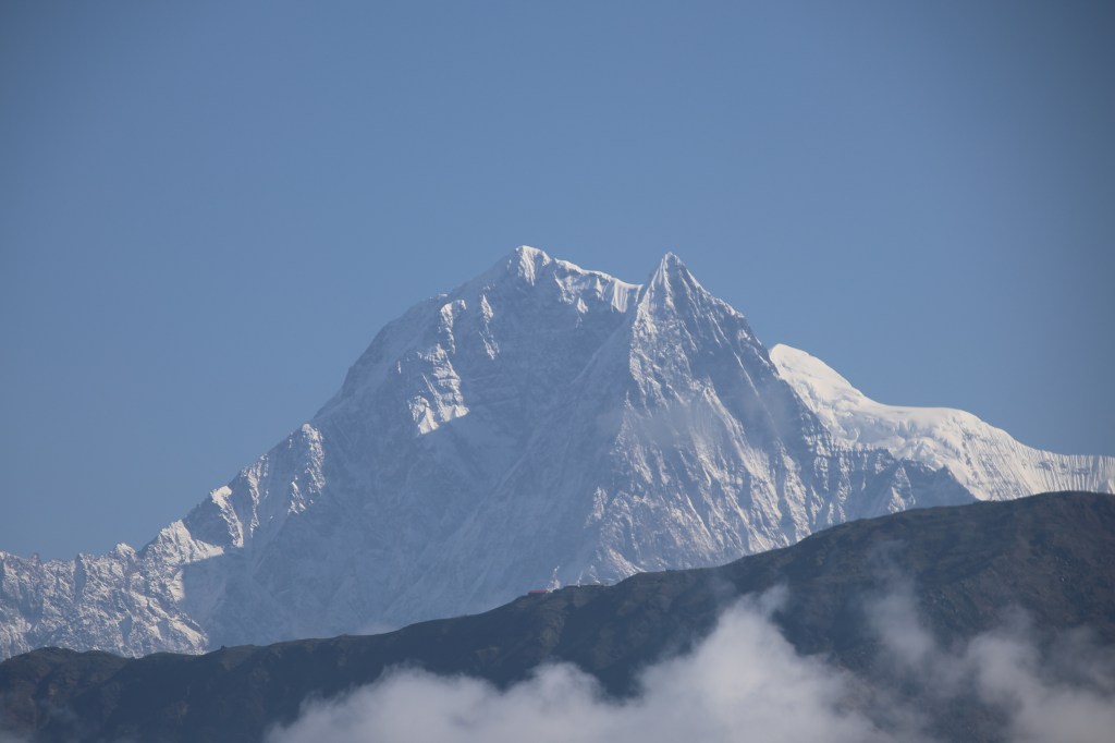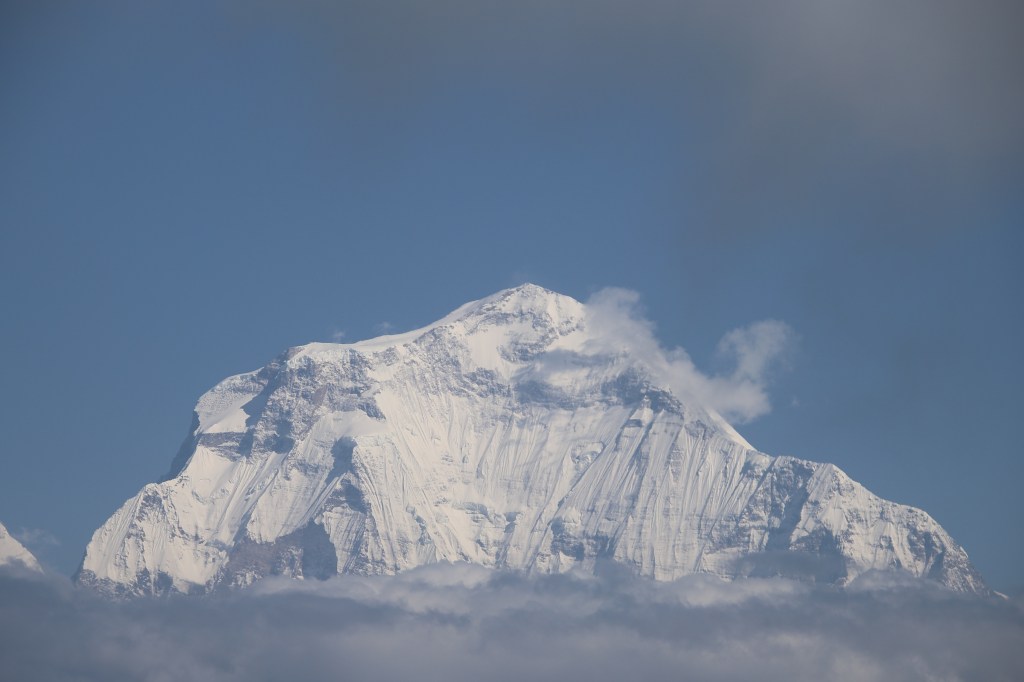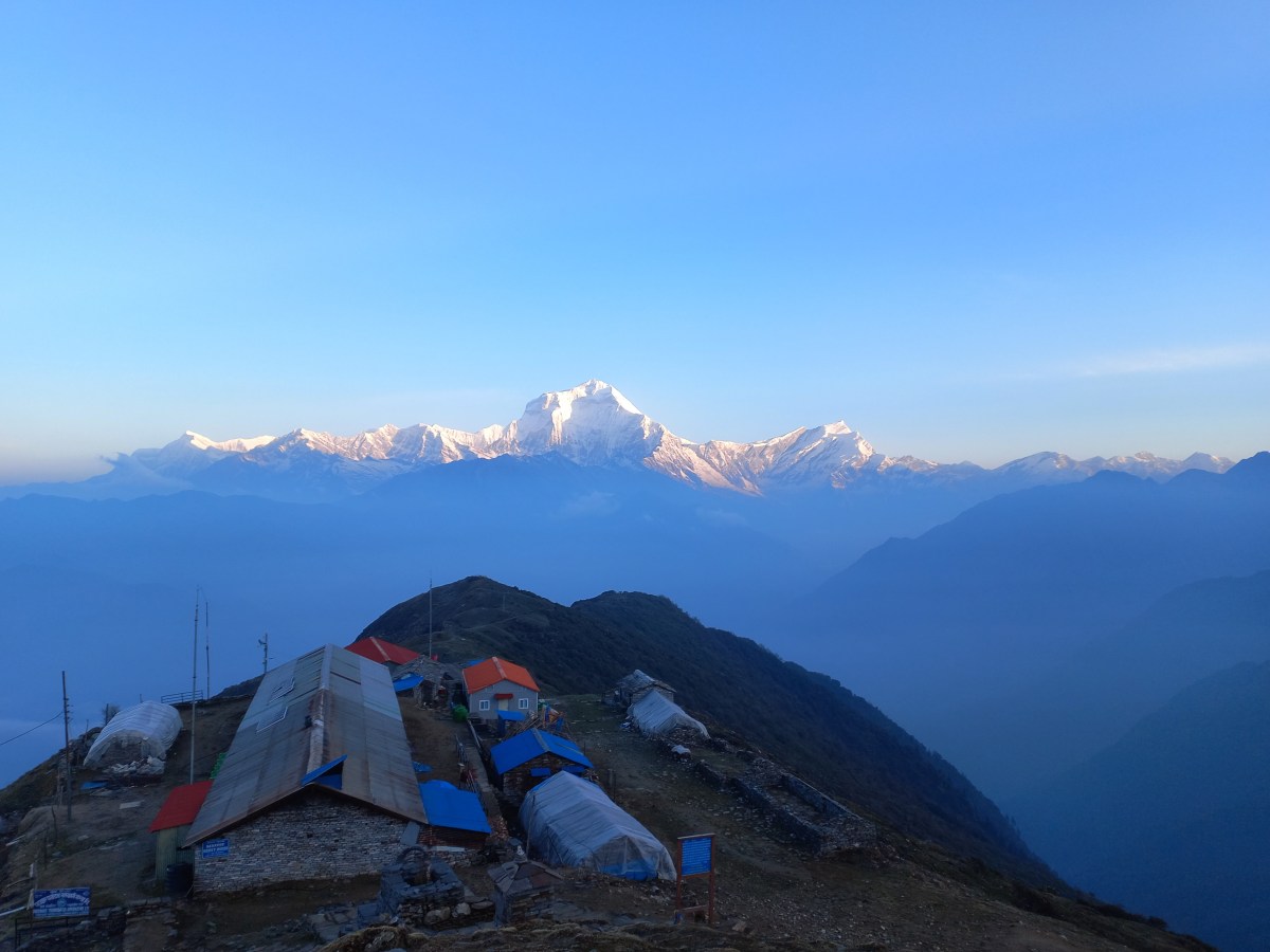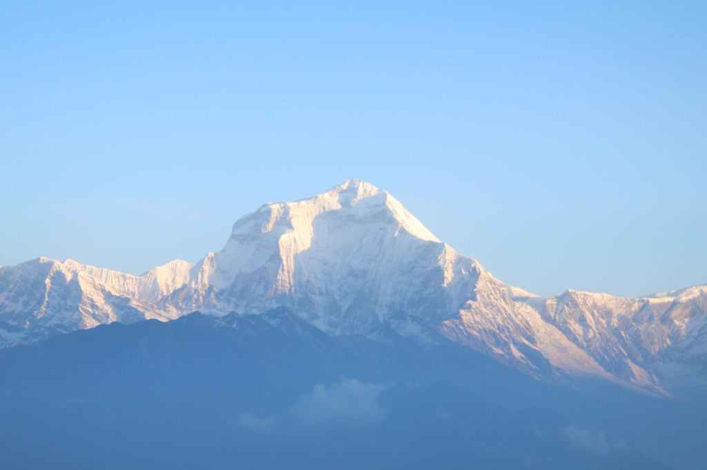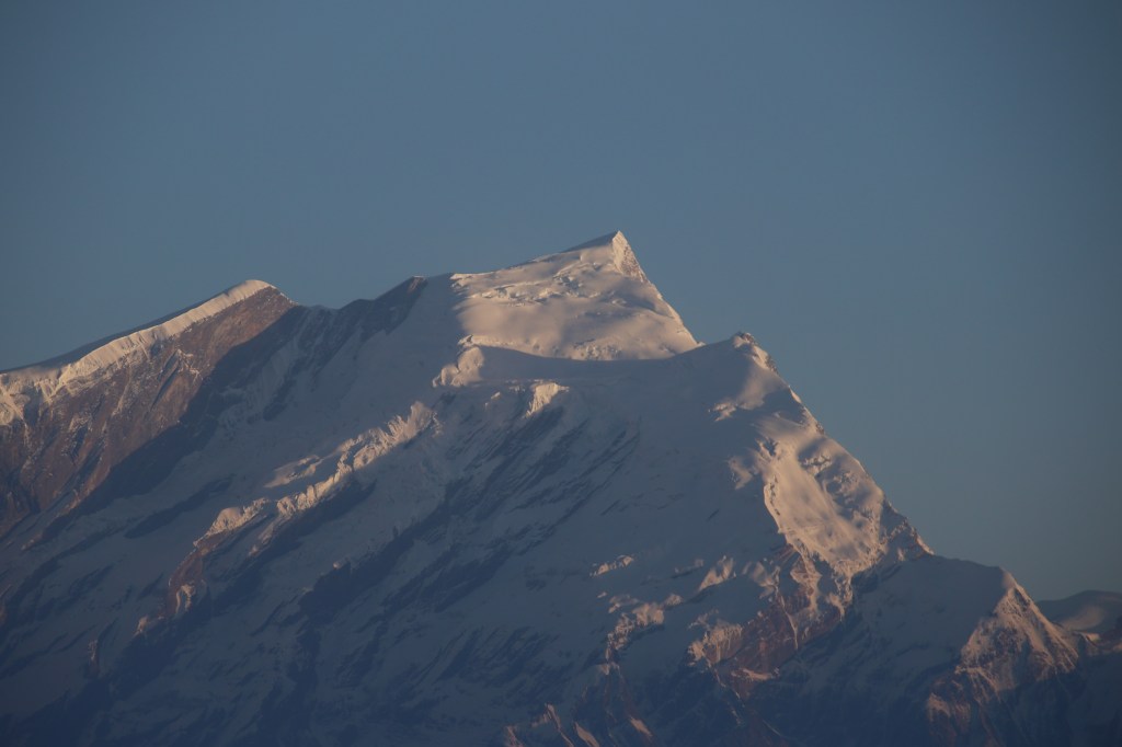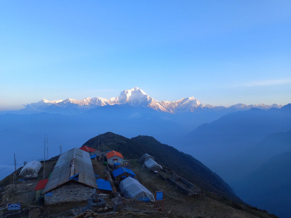
The solitude of Khopra ridge – Dobato

Earlier

Next

28th April, 2025

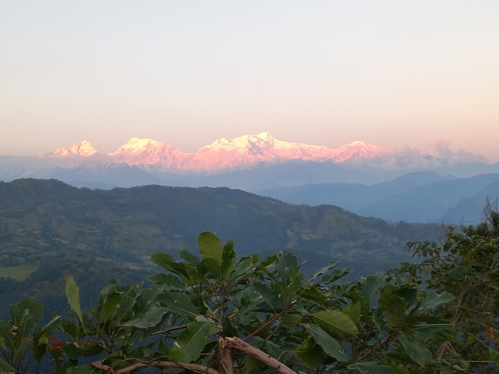
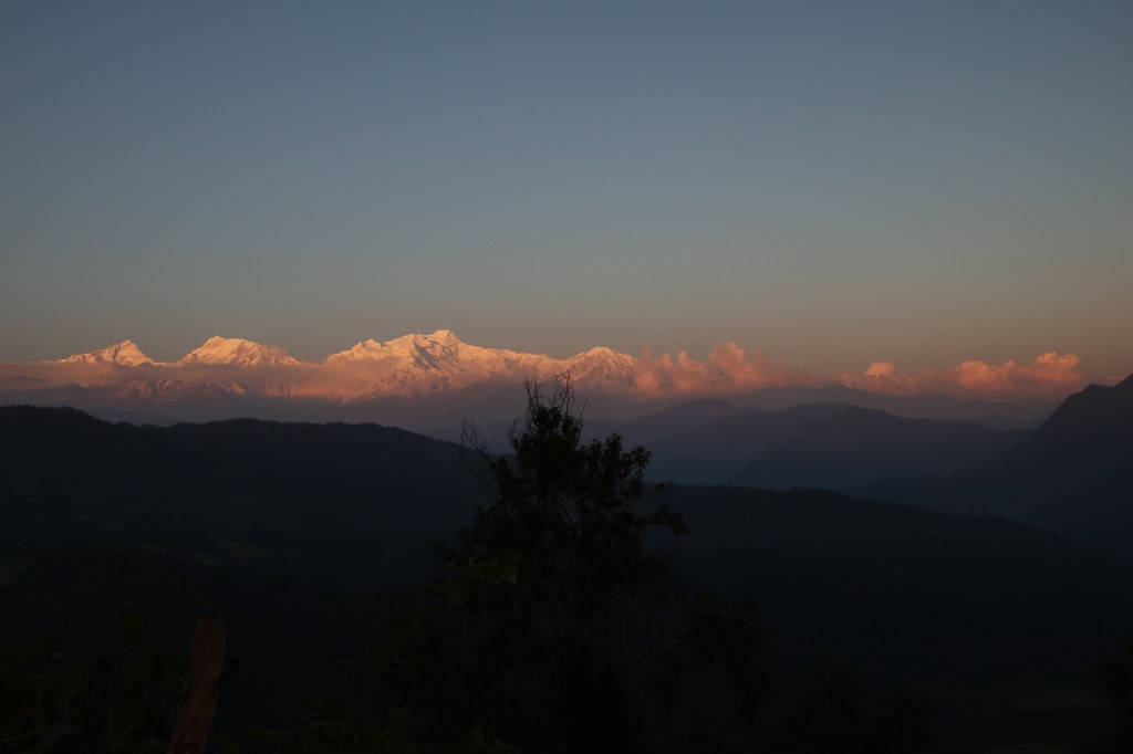
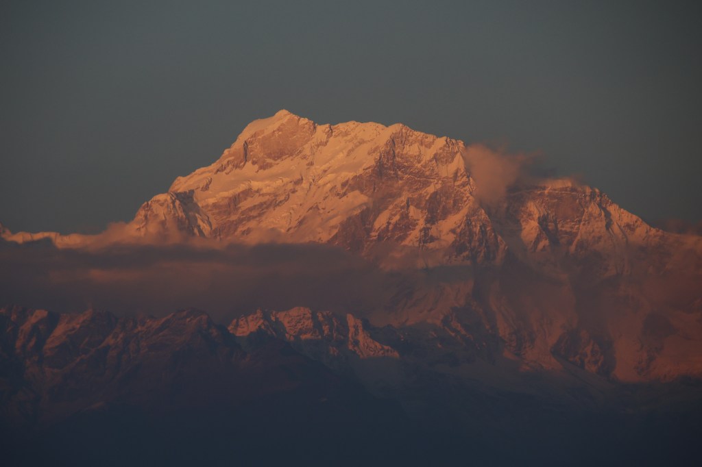
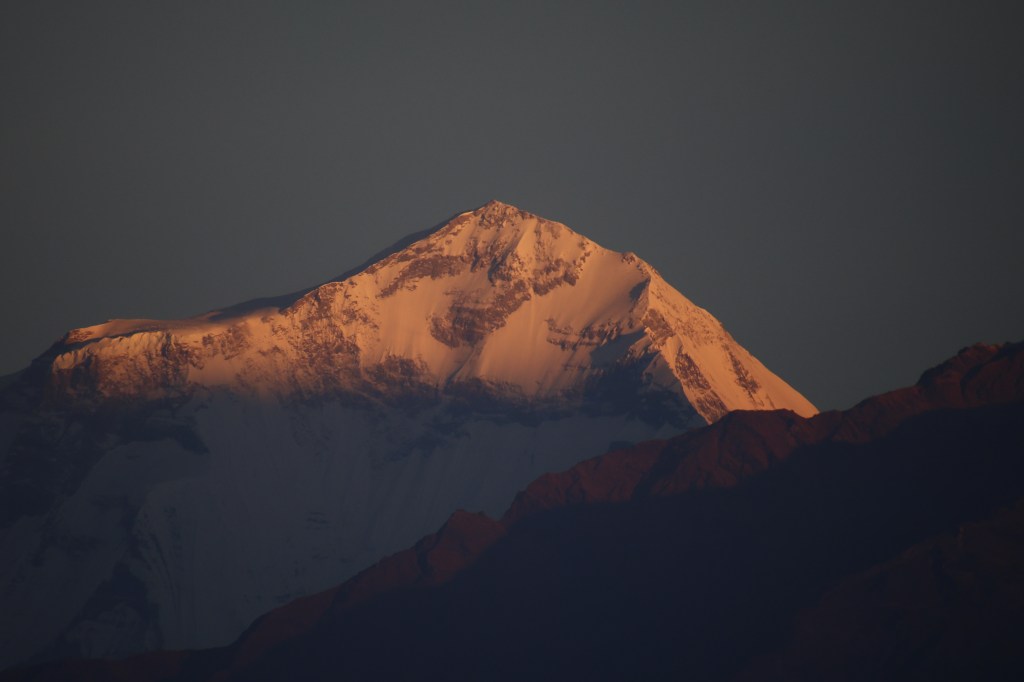
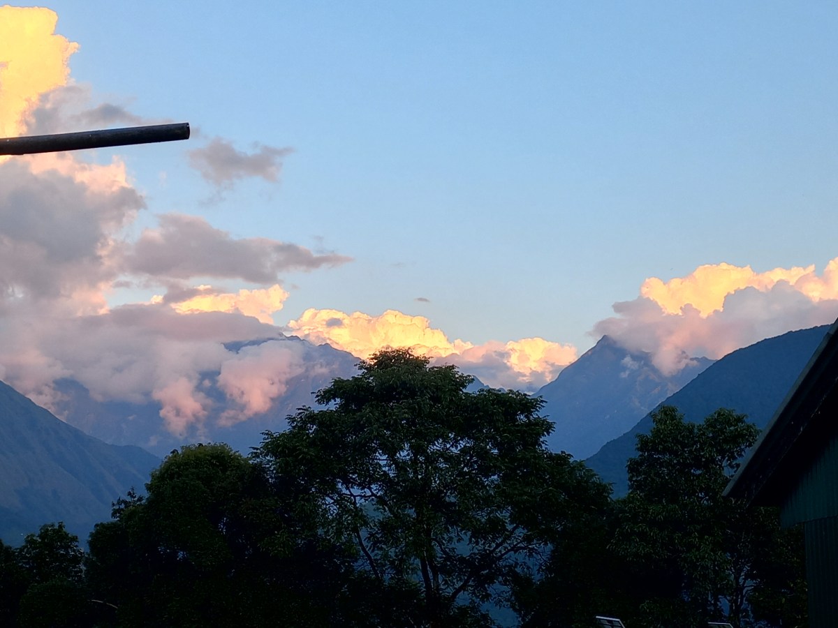
The views of the Annapurna Himalayas, late in the previous evening, raised our hopes of clear weather, but when I woke up at 5 AM and cast a look outside, my hopes were dashed. Dense fog engulfed every object. I prepared to hike under the gloomy cast of fog and mist for the entire day and just prayed that rain stayed away. Today’s hike was supposed to be longer than yesterday. In fact, today was the first day of full hiking. It would take us to one of the high points on the trail, Dobato. The next morning, we were supposed to hike up to the Muldai view point, which is one of the highest in these regions, promising to offer panoramic Himalayan views. But with the overcast conditions like this, it could be a futile exercise. Ranjan da was already contemplating skipping Muldai view point hike, given the weather conditions, but I decided to defer it till the actual time as one never knows when weather turns merciful, especially, in the mountains. See for a fact, who knew that it’d open up last evening, given the conditions we went through during earlier parts of the day? Hence, I was not ready to throw the towel in yet.

Yugal, our guide, shared a grim information about the death of two laborers high up beyond Dobato, electrocuted by a sudden lightning strike. Apparently, it happened during the brief spell of downpour when we were under the shelter of Bhainsi Kharka yesterday. These laborers were paving stones while establishing a trail towards the “hidden lake”, an side excursion from Dobato. I kept thinking about it while getting prepared for the day’s hike. Once I entered the dining space, all concentration was on the breakfast and the cheerful conversations from fellow hikers from other groups made me divert my attention to the present. We ordered bread toasts along with soup for our breakfast. We asked for two cups hot water to dip the tea bags we carried along with us to prepare our morning tea (that saved at least 100 NPR) and this was a pattern we repeated in the mornings and evenings on everyday of our trek. Nevertheless, after breakfast, we filled our bottles with lukewarm water and hit the trail. The target was still to reach Dobato before lunch. I always face a dilemma about whether or not to put on my jacket during a hike. This is something which I haven’t been able to sort out even after so many treks. The conditions at the start (unless it’s a bright sunny day) mandates wearing it and today was no exception (given the prevailing cloud and mist), but after one starts the hike, the body heats up and causes immense sweating. There have been instances where I’ve taken it off, only to put it on again after winds sent down a chill through the body (especially when one rests at intervals). Hence, the conclusion seems to be to put it on (unless it’s a sunny day) and ignore the sweat. Sweat is a significant factor to consider because once you reach the destination, all your clothes get wet and there are no simple ways to get them dried in these moist mountain climate. The only option is to hang them up near the fireplace at the dining space. Even there, one has to compete for space with other hikers. I also keep a close watch on my backpack. It needs enough space to carry my camera (when there aren’t any chances of snaps), a one litre bottle filled with water, rain coats and sometimes, space for the jacket (when it’s impossible to wear it). This time around, I deliberately chose a smaller bag and left the relatively larger one at Pokhara with some clothes and other items deemed redundant during the trek. That helped reducing the weight of it during the hike.

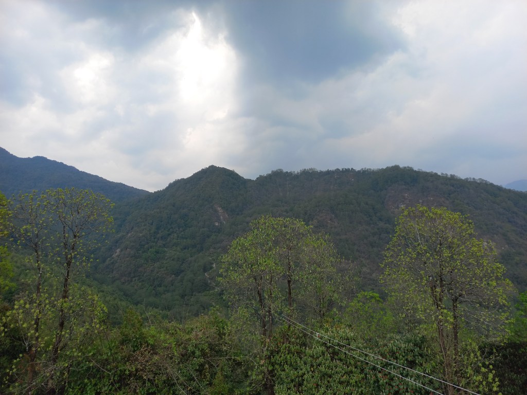
We started our hike among the mist and visibility was reduced to just the trail and everything around it was behind the shield. After an intial stroll along an adulating track, it started moving up and we were presented with stair cases. Stair cases paved by varied sizes of rocks are a commonplace in the routes spanning the Annapurna sanctuary area. They are a way to shorten the trails, but they take a toll on the hikers’ lungs. Distance gets traded off for angle of slope and I’m not so sure if that helps reducing time. Coming down such slopes also puts stress on the knees and we’ve had some of these tracks during later phases of the trek. Nevertheless, I kept plodding ahead and very soon found myself alone with the mountains (which is always the case in every trek). These are phases where you don’t talk, but introspect about a lot of things. It could be about the trail for the day, the entire trek, some upcoming elements of it, which could be risky to traverse or in general, about life. Unlike earlier treks, this time around, my mind wasn’t able to shelve the prevailing tensions in the current affairs of the country and they kept hovering in my mind while walking.

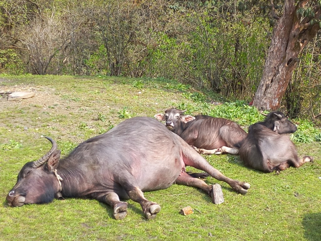
After sometime, the sun came out and there was some brightness around, but the clouds continued to prevail at the higher altitudes. The Himalayan snow views were out of reach. With the sun coming out, I felt the warmth and decided to peel off my jacket. That made things easier for the moment. Walking through bright sunshine adds color to the surrounding forests. After sometime, I reached an open patch of grassland with a mud hut standing at the center and around it, spread all over the place, a few buffaloes were enjoying their leisure in the sunlight. Some even dozed off amidst the comfort of cool breeze along with the lukewarm sunlight.

En-route Dobato, buffaloes enjoying the sun.
En-route Dobato

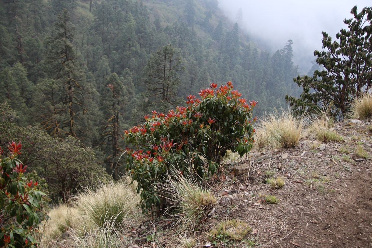
These domestic animals have bells hung around their necks, which keep tinkling along as they roam about in the surroundings. That helps locating them by their owners even if they stray around. But on this ocassion, none of them were interested in strolling around and were perfectly happy to lie down, enjoying the sun and the breeze. After that amusing sight, I moved along towards the next milestone of a little pass. After a few switchbacks, I did reach it. There was a gate adorned with some tibetan paintings. Beyond the gate, I saw the first patches of snow lying beside the trail. By the looks of it, they seemed to be fresh. The track moved gradually downwards beyond the gate amidst some blooming Rhododendron trees. Unlike their counterparts down below, these trees did have considerable blooms and I even saw some buds.

En-route Dobato, rhododendron buds
En-route Dobato

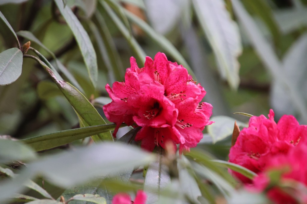
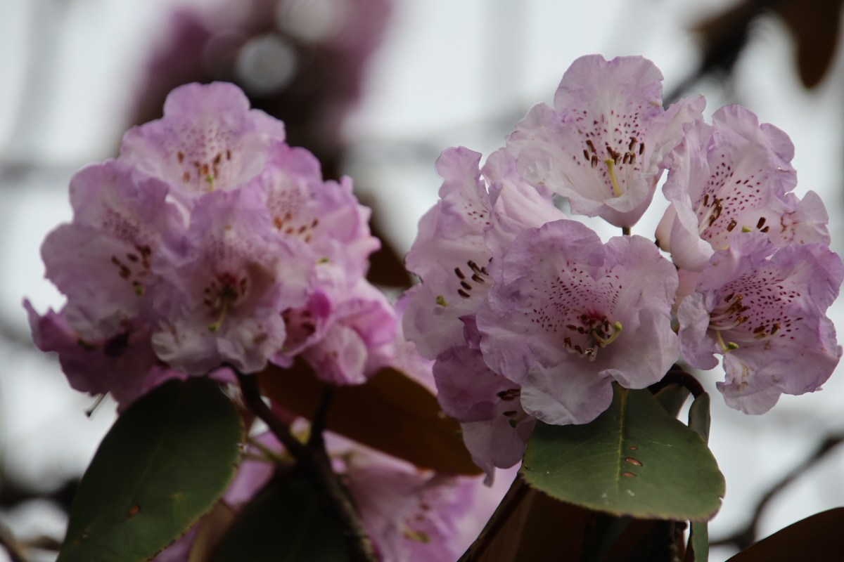
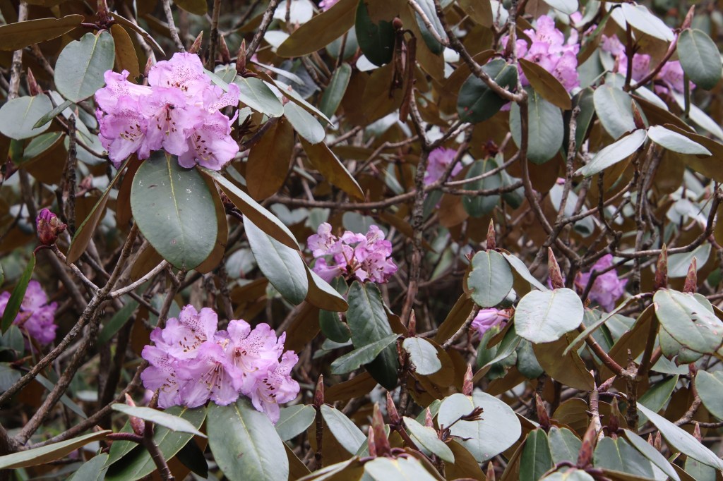
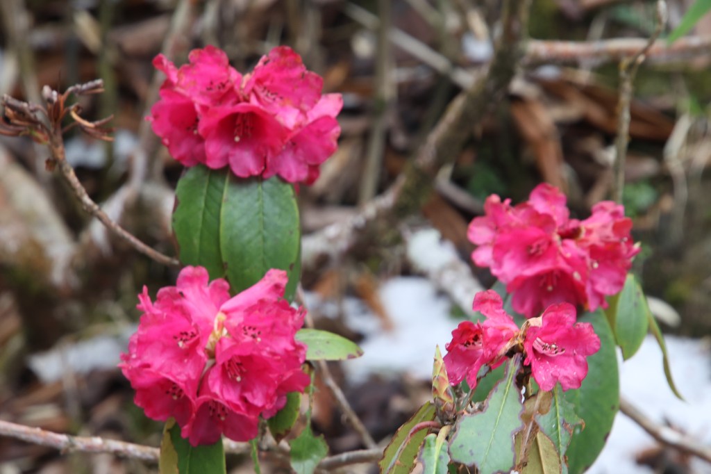
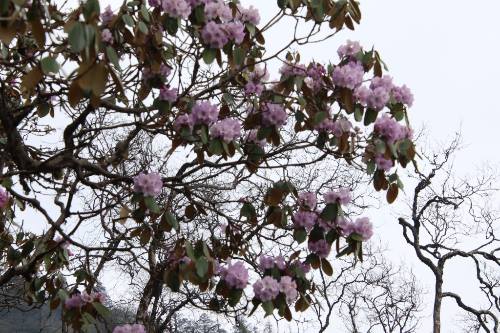
The cycles of flowering for these trees differ by altitude. While flowers have disappeared at the lower altitudes, they were in full bloom or about to start in the higher altitudes. Their colors also differed. The flowers in lower reaches were deep red or dark pink, but up here, the shades were lighter. Some were almost white (with a mix of light purple), some with lighter pink shades and yet others, almost fully white.

En-rote Dobato, purple Rhododendrons
En-route Dobato

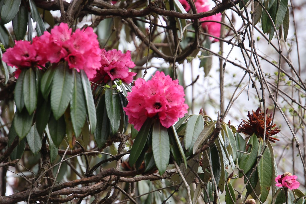
However, the dark pink shades were still visible, though to a lesser extent. The Annapurna sanctuary area is famous for Rhododendron blooms. They cover the landscape during these times of the year. Both the routes leading to North and South base camps of Annapurna go through dense Rhododendron forests and offer such views.

En-route Dobato, pink rhododendrons
En-route Dobato

Trails in the Everest region also have them, but to a much lesser extent, especially due to altitudes, the forest cover itself is not that dense as boulders and snow cut the treeline short. As we moved higher up, the density of the flowers kept increasing.

En-route Dobato, purple rhododendron bunch
En-route Dobato

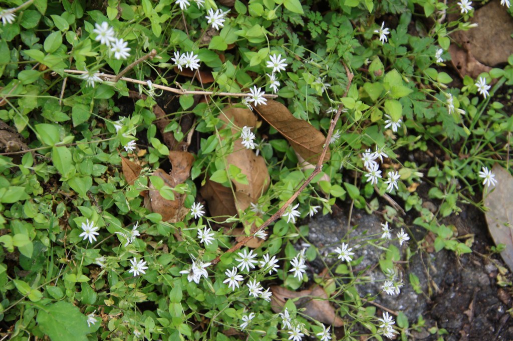
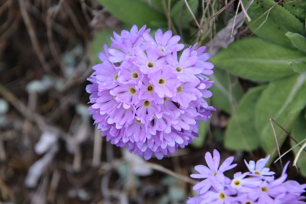
The more we reached closer to Dobato, more awestruck we were by the aura of flowers. The cloudy weather and the lack of the fimilar Himalayan snow views were forgotten by the display of flowers at our disposal. While Rhododendrons were at plenty in the trees, but the flowers on the ground, along the slopes or by the side of the walking trail, were equally mesmerizing.

Dobato, ground flowers
Dobato

While walking amidst them, after a few bends, the lodges of Dobato made an appearance. It was just a few metres ahead of us, but we had no hurry to reach there and our shutters kept rolling. That single stretch of the trail, not even half a km in length, offered so much, we took almost an hour to cover it.

Dobato, purple rhododendrons in trees
Dobato

Finally, we entered the tea house, rather it’s dining space. “Dal-bhat” was ordered and as lunch started getting prepared, we were handed the keys of our room. After changing our trekking gears to simple warm wears, we re-entered the dining space, which was abuzz with other hikers. The weather was gloomy and it started playing in our minds. Ranjan da already started contemplating skipping the hike to Muldai viewpoint. In clear weather, we could have had the option to hike to it during sunset as well as sunrise, but senset was out of question. The only feeble hope remained is of the sunrise view. After lunch, Ranjan da decided to take a nap and headed towards the room, while I remained at the dining space, hung up my trekking clothes with the hope to dry them up and spent time chatting with the guide and a fellow hiker, a student from Germany. I walked past her on my way up to Dobato. During our conversations, she revealed that she has been in Nepal for the past one month. She had entered Nepal from it’s western frontiers, visited some wonderful places there (including the Phoksundo lake), then moved on to Bardia National Park in the lower Terai regions (bordering with India) and now she was, in the Annapurna Sanctuary area. We’ve come across such travelers before, who spend long duration in Nepal, traveling to different parts of it. After Dobato, she’d be going down as her trip draws to a close.

On our way up to Dobato, we met a group of Nepalese policemen who were going for an official duty. It later turned out tht they were heading to complete formal investigation around the two unfortunate deaths that happened at the “hidden lake” area. Late in the afternoon, a group of four laborers came down the slopes beyond Dobato, carrying a human body wrapped in a plastic and lowered it at the open space outside. The policemen we met on our way up, followed the laborers. There was an immediate hush and curiosity amongst all the people who looked through the window and some even ventured outside. We heard that another body was following this and soon we saw the carriers of it and it was laid beside the other one. The carriers needed rest and the owners of the lodge gave them food and drink. We couldn’t see the faces but we were told, these were bodies of a pair of uncle and nephew (who was just 18 years old). They hailed from distant villages in the Makalu area of eastern Nepal, came as loborers to pave the trails but to their misfortune, a sudden strike of lightning electrocuted them while they were preparing their food. Someone burnt a few incense sticks beside the bodies, while the carriers rested.

It was a stark reminder of life’s realities. They came with the hope of earning some money to sustain their lives, but ended up losing them. Even yesterday, when we started our hike, they must have been alive, oblivious to the fact about what lay in store for them. After a considerable time, the carriers resumed their work and the bodies were carried down the slopes. They’d be reaching Pokhara, the same day, where standard formalities of autopsy would be carried out and after that, they’d make their final journies to the distant lands where they came from.

After darkness settled in, we had our dinner and headed for our room. We were sleeping at 3426 m.

Earlier

Next

The solitude of Khopra ridge – Tadapani

Earlier

Next

27th April, 2025

It was unsually warm at Pokhara during the previous night. The hotel room didn’t have a fan, so we had to turn on the air conditioner to escape the heat and humidity. It gave me a sense of guilt (bordering to criminality) to turn on an air conditioner at a hill station like Pokhara. I’ve never faced it before. To limit the sense of guilt, I turned the air conditioner off after a couple of hours and opened the windows. Morning rituals took some time and after a fresh bath (the last occasion to do so before the trek ends), we headed downstairs for breakfast. We’d already transferred our luggage into the duffel bag. Yugal and Ramesh appeared at the doorstep while we were still at the breakfast table. After some delay, we boarded a Scorpio to embark on our journey towards the village of Ghandruk which was about 58 kms away. It was cloudy and none of the members of the Annapurna family were visible, which was a shame. It didn’t bode well for the rest of the day.

The vehicle made its way through reasonably corwded but disciplined roads of the Pokhara town and after approximately half an hour, it hit the highway. We were told that this highway led all the way to upper Mustang via the towns of Tatopani, Beni, Marpha, Jomsom, Muktinath & others. My mind sprinted through these towns along the highway and I recalled the reverse journey on this highway in the year 2022 on our way back from the Annapurna Circuit trail. This journey in itself is an experience. The lower reaches of it goes through lush green areas with the hills covered with dense forests. Gradually, these make way for dry and barren landsacpes of Mustang with mountain peaks keeping company all through. I still remembered the marvellous sight of the Jomsom airstrip with Mt Nilgiri rising beyond it’s limits. Marpha was famous for it’s apples and related products. Kagbeni, which is further ahead towards Muktinath, is a quiet abode where people prefer to spend a day or two for the natural beauty of the valley to sink in. The entire route travels along the famous Kali Gandaki river, which forms the world’s deepest gorge (reaching up to a depth of 1 km) up above in the upper Mustang region.

While I was engaged deep in these thoughts, our jeep took an exit from the highway to head down towards Nayapul where we saw a signboard indicating directions towards the places like Ghandruk, Ghodepani, Chomrong, Jhinudanda and others which dotted the different routes traversing through what is called the Annapurna sanctuary area (which covers the southern slopes & valleys of the Annapurna range). The sanctuary area is a subset of a much larger Annapurna Conservation Area Project (or ACAP, as the acronym goes) which also covers the Annapurna circuit trail and possibly, parts of lower and upper Mustang regions. After the turn, the road sloped down towards an old metallic bridge which led to some houses, shops & some govt offices. It was a busy place with a lot of people bustling around. This was where our ACAP permits got checked for the first time. The place is called Birethanti. I recognized it. It forms a gateway to the Annapurna sanctuary area and all routes emanate from here. We visited it for the first time during our visit to the Annapurna base camp. We had to halt to allow our permits to be examined and allow the govt authorities to register our entry into the area. Such entries are supposed to be matched during the exit to ensure whoever has entered, has also exited the area safely and no one gets lost in the trails. A similar exercise also happens at different checkpoints of other trekking routes of Nepal. We tasted the delicacy of local samosas. They tasted very different, probably due to the fresh vegetables (sourced from the local aggricultural fields) used in the curry that was stuffed inside. After the brief halt, the vehicle resumed it’s journey through the villages and forests of the sanctuary area. The road was still paved, but turned into a bumpy stretch after sometime as the jeep started to navigate through the curved hill sides. After sometime, we reached a junction from where one route moved further up towards Ghodepani through the villages of Ulleri and Banthanti, while we took the right diversion to climb up towards Ghandruk. The skies turned darker and after significant struggle to maintain its center of gravity, the jeep finally halted at a place, beyond which, walking trails awaited us. We disembarked and started our long awaited trek through the woods of the Annapurna region of Nepal. There was a very light breeze that caressed our faces, while we started the hike. We could see the Rhododendron trees, but they were devoid of flowers. What would have been a full bloom, had we reached here even about a fortnight earlier, was now absent. But there was no reason to complain as thick forests provided a canopy over the trail, which not only provided protection from sun (though it was absent for the day), but a cool breeze and more importantly, the much needed Oxygen which prevents one from tiring while walking on these trails. After about an hour of hiking, we reached the tea house where we were supposed to have our lunch. It was a resonably large place with wonderfully crafted and maintained gardens with lots of flowers.

Ghandruk lodge garden
Ghandruk

The flowers shone even brighter amidst the looming darkness of the skies, which sent down sounds of distant thunders. As our lunch started getting prepared, we spent sometime to capture some snaps of the blooming flowers.

Ghandruk - flowers 1
Ghandruk
Ghandruk flower 2
Ghandruk

We enjoyed our first “dal-bhat” meal in Nepal after about a year. With hunger accentuated after hiking up from the starting point, the meal tasted even more delicious which was served with hot rice, lentils, vegetables, pickles and other delicacies of rural Nepal. After lunch, as I moved out to the open terrace, I felt a few drops of water on my body. Looking up at the sky, I saw the dark clouds hovering above. We still had at least two and a half hours of hike left for the day and chances were there that we may need to walk in the rain. We put on our raincoats and resumed our hike.

Ghandruk clouds
Ghandruk

I could now see a few Rhododendron trees with a few flowers which were remnants of the full bloom that might have perished about a week ago. Colors of these flowers vary according to the altitude. The trees we saw now, had red flowers, but other colors make their appearances at the higher altitudes. The height of these trees also keep decreasing with altitude. The trees dotting the higher ridges are called “Dwarf Rhododendrons”. Rain droplets increased in their size and frequency as we moved up and after a point, we reached a place called Bhainsi Kharka, a conglomerate of lodges. That’s when rain came down hard and we had no option but to take shelter. I thought this was good in a way as it might clear up the clouds which could pave the way for a clear evening or even clearer weather for the coming days (or so we thought). I came up earlier while the porter, guide and Ranjan da were still behind. After a while, they emerged from the woods down below and made their way up to the dining hall of the tea house, which gave some warmth. After a a heavy downpour that lasted almost half an hour, the rain eased, but clouds still held their sway in the mountains. We took advantage of this let up and resumed our hike. After leaving the premises of Bhainsi Kharka, the trail moved up amidst a narrow alley. It was thickly forested and we had no trouble whatsoever while moving up. We kept our raincoats on, though they weighed heavily on us, causing a lot of sweat, but there was no choice as there were enough clouds to resume a downpour at anytime. While we were waiting at the dining room for the rain to subside, we saw a few lightning strikes with resounding thunder at distant places. Little did we know then, that these strikes would result in grief for someone.

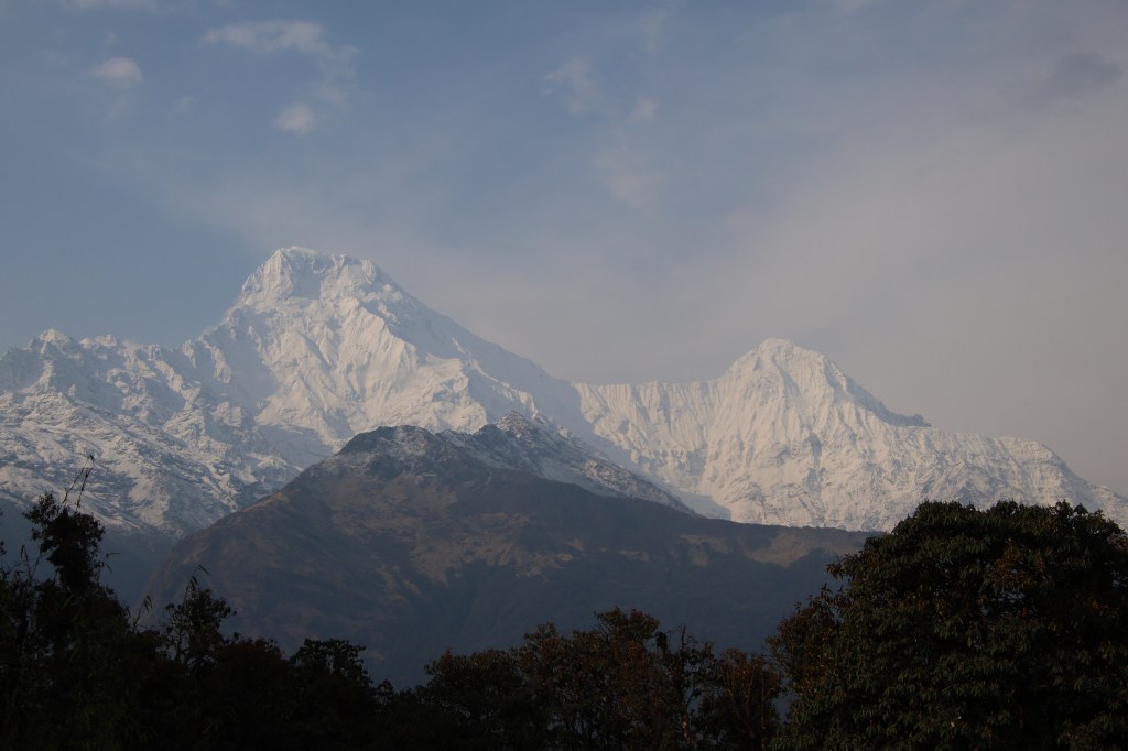
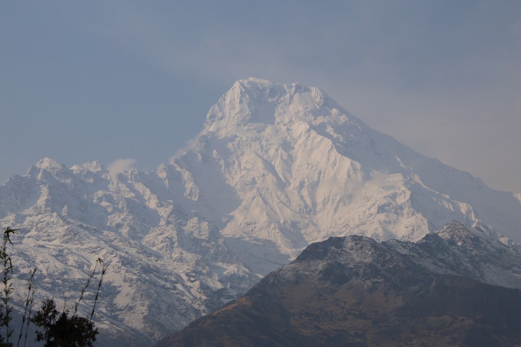
When we finally reached Tadapani, it was still cloudy but the rain turned into a drizzle. The compound of the tea house was spacious with a dining hall taking the centerstage. A rear door at the end of the dining hall led to a corridor which had rooms on both sides. We settled into one of these, changed our clothing and headed for the dining space, which everyone vies to reach after a day of hike. It’s a place for socialization, gossip, reflecting on the day’s proceedings and making plans for the next day, while sipping away at hot tea. All through our way up, we kept hearing about marvellous mountain views which would have been at our disposal, had weather been kind to us, but such statements sounded more like fairy tales, given the current state of affairs at nature’s department. As we spent our time at the dining space, we saw the veil of darkness getting removed and gradually, light became brighter. The chorus of the trekkers outside gathered some energy, which prompted me to look out through the glass panes and wow, there it was, Mt Annapurna South and Mt Fishtail (Machhapuchare, as they call it in Nepal) made their appearance, still shielded somewhat by the clouds, bt their outlines were visible. The sheer size of these mountains gave an indication of the altitude of the place!

Tadapani - mountains
Tadapani

The sky cleared up further and immediately it lifted the spirits of the people around. Most of them ventured out of the dining place to train the lenses of the mobiles and cameras to the awe-inspiring display of the mountains. We were no exception and our shutters kept rolling in the fading afternoon sun, which started playing its color tricks on the snowy slopes of the Annapurna Himalayas. The emerging sunlight through the still powerful shields of clouds made the birds chirpy too and their sounds were all around us. We got so excited, that we made video calls to our homes to show this view to our family members back there. While I was at that, Ranjanda quickly reminded that this luck might not run long as clouds were still hovering and making advances towards the mountain tops. That prompted me to abandon the call and resume photography to snap up as many as possible till the luck lasts.

Mt Annapurna South, Tadapani

From the left to right, Annapurna South, Hiunchuli, many others in between (the guide told us their names, but I don’t recall) and finally the vista ended at the top of Mt Fishtail.

Mt Hiunchuli, Tadapani

We couldn’t shift our attention from the mountains as the scenes kept changing continuously in the stage act played out by nature. On some ocassion, a mountain top was brightly visible, only to be shielded by emerging clouds, while others made their appearances and this kept on changing amidst the hide and seek between the sun and the clouds.

Annapurna Himalayas, Tadapani

The most striking view was that of Mt Machhapuchare, which keeps inspiring awe, despite looking at it on multiple occassions from different places. We’ve seen it from different angles from Pokhara, the entire Annapurna base camp route, where it’s angles kept changing at every place, Mardi Himal trail and now on this trail.

Mt Fishtail (Machhapuchare)
Mt Annapurna South 2, Tadapani
Mt Annapurna South, Tadapani

Time flied by as we kept our lenses trained on the Annapurna Himalayas and they didn’t disappoint us, but after sometime, clouds gained their strength and made steady advances and eventually shielded them altogether. That prompted us to recline to the dining space. We had our dinner at 7 PM with sandwiches and soup and then moved to our room. The next day would take us to Dobato. We were sleeping at 2630 m.

Earlier 

Next

The solitude of Khopra ridge

Next

Nowadays trekkers often complain about lack of tranquil forests or experience of authentic village life and tribal culture in the popular trails like Annapurna base camp or Everest base camp in Nepal. For that matter, they say the same even for the longer Annapurna circuit trail as well. For Manaslu circuit, though one gets to experience the local village life along the route (more so, than other trails), the complain there is about the ever shrinking trail, thanks to aggressive road construction in Nepal which is eating up the trails gradually. That’s true for any other route. With every passing year, the trails get gobbled up with local jeeps plying higher up in the mountains. In some cases, there are altenrative trails available that lets you escape the mud and dust of the jeep roads, but mostly, that’s not an option, especially, in the Annapurna sanctuary area, which is where I was headed for the third time after Annapurna base camp and Mardi Himal.

I was looking for a week long escapade from the depressing & taxing corporate life to an area which could offer some solace. Given the time constraint, I had to look for the Annapurna region as anything towards the eastern part of Nepal would have required more time, a scarce commodity at hand. Initially it appeared to be a tough ask, given the ever shrinking trails of the region, but after some search (especially, on the website of Nepal Alternative treks & expeditions), I came across the Khopra ridge (or danda, as they call in Nepal) trek. My enquiries with Tej Bahadur Gurung (the proprietor of Nepal Alternative treks & expeditions), confirmed the fact that it was a less trodden trail. The time of the year (late April) also offered chances of witnessing Rhododendron blooms (though to a lesser extent than what we found at Mardi Himal about a year before). We were about a fortnight late than the year before as far as Rhododendron blooms were concerned. Nevertheless, I looked forward to my visit to the area. As usual, the description of the trail along with some youtube videos, provided enough excitement to look forward to it. Expectations ran high with two view points on the trail, Muldai and the Khopra ridge itself, offering almost a 180-270 degree view of the Nepal himalayas ranging from the Dhaulagiri to the Annapurna ranges. To top it off, our trek was to include a visit to the famed Poonhill top, an icing on the cake.

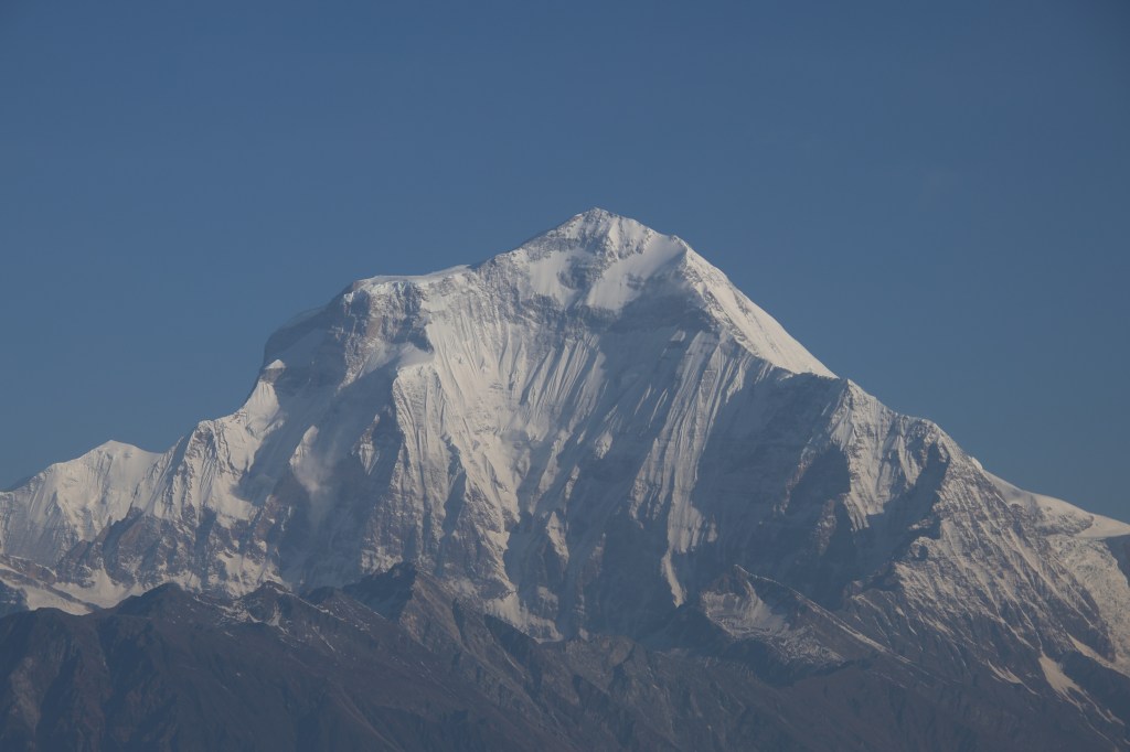
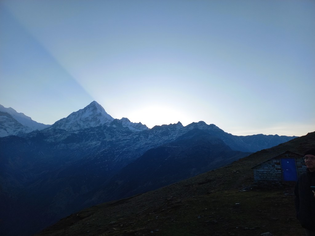
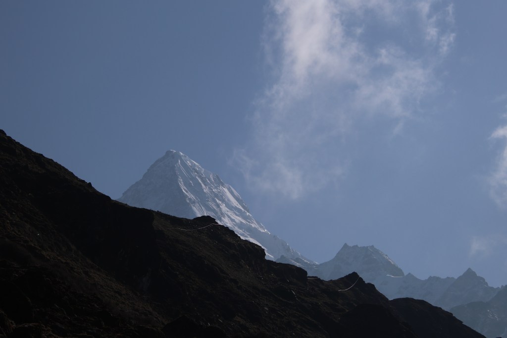
The Himalayas from Khopra danda

Most of my mates from earlier treks were either occupied during the period or had plans to visit other places. Hence, I decided to embark alone if need be (such was the desperation). Nevertheless, I floated my idea in the WhatsApp group and Ranjan da responded. Hence, we booked our tickets to and from Gorakhpur Junction, a town close to the Nepal border in eastern part of the state of Uttar Pradesh in India. This was followed by our hotel bookings at Pokhara for our stays on our way up and down. Conversations with Tej Bahadur Gurung settled the questions about porter and guide. After all these initial proceedings, I got immersed in my professional work as the slated date of travel was still about a couple of months away. About a fortnight after this, an SMS from Indian railways informed me that our train to Gorakhpur on 25th April got cancelled due to some “pre-planned” work at the railway station and any inconvinience was “regretted”. Well, that’s Indian Railways for you. All they can do is to unilaterally cancel trains and regret the inconvinience. That has always been the case and continues to be (despite their claims of advancement with introduction of “high-end” trains like Vande Bharat). Accidents continue unabated, so do delays and abrupt cancellations with “regrets”. After scrambling for other options, the only option remained to start on 24th April, reach Lucknow and take another train in the following night from there. That’s what we opted for. As they say, every cloud (well, almost) has a silver lining, this gave me an opportunity to meet my friend Dhananjoy De (a constant company for me for all treks done in the past), who was a professor at IIIT.

26th April, 2025

After a day’s break at Lucknow and hanging out with Dhananjoy, we reached Gorakhpur junction at 2:40 AM. The only option was to stick around in the waiting room for the dawn to break. The idea was to get going as early as 5 AM to reach Pokhara with the entire afternoon at our disposal to hang around it’s famous lakeside area. However, our driver had other ideas and he only showed up at 6 AM. His reasoning was that the border officials (which included currency convertors) only started their operations by 8:30 AM. We had no other option but to comply. As the vehicle started off towards the border, I closed my eyes as there wasn’t much to cheer about the passing landscape of this dusty town or its suburbs. After about two and half hours of travel, we crossed over the border at Tutibari. This was much less crowded than the conventional Sunauli border. The gate on the Indian side thanked us while the Nepalese counterpart welcomed us for our visit. Soon after crossing it, we stopped near a police station where the cab driver went in for collecting his permit, while we exchanged Indian for Nepalese currency. Our journey started once again as we moved through the Terai plains of Nepal. The landscape wasn’t any different from the plains of India where cultivation fields extended to the horizon. The only difference could have been the views of distant hills, but they weren’t visible due to dust and smoke (some of it coming from burning of crop residues in nearby fields). As we traveled through the highways towards Bhairahawa, Ranjan da shared the weather forecast for the upcoming week. This turned out to be abysmal as everyday was supposed to be cloudy with light or strong rains in the afternoon. The later part of the week was slated to have rains for entire days. As depressing as it may sound, I decided not to delve much into it and leave it to nature’s discretion. It’s not new in the mountains to have unpredicted rains. Our route converged into the highway coming from the Sunauli border and we gradually crossed Butwal. Hills made their appearance after that and we suddenly found ourselves embarking along the serpentine mountain roads towards Pokhara.

This is a familiar trail as I’ve traveled through it multiple times (the most recent being a year ago on our way to Mardi Himal). After about four hours, we stopped at a place called Ramdi. It had a few shops offering the famous “Dal bhat” meals of Nepal. But we headed towards a fruit vendor who was selling cucumbers and a mountainous fruit from the nearby forests called Karphal. These were sweet and sour and tasted beautiful. After eating some, we purchased some more to have on our way up. After Rambi, we reached a road junction with an iron bridge over the famous Kali Gandaki river coming down from the distant and rugged Upper Mustang area of Nepal. I recalled having dinner at this place durnig our trip to Mardi Himal. After crossing that place, I waited somewhat impatiently to reach Pokhara, which was still about a couple of hours away. As the sun settled towards the west, my impatience increased as if time was running out.

After a few bends, we entered the wide roads of the Pokhara town and a few more turns took us to the famous lakeside area. Our hotel Himalayan Vacation was situated almost on the banks of the Fewa lake with just the road separating it from its banks. We disembarked from our vehicle and headed to our alloted room at the third floor. The balcony opened right in front of the lake and a bird’s eye view of the lake surrounded by thickly wooded hills, greeted us.

Fewa lake
Fewa lake, Pokhara

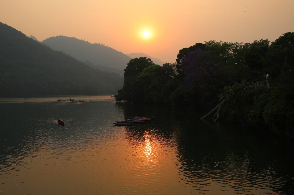
We got some much needed bath and headed towards Gaurighat, which was on the banks of the Fewa lake right across the road in front of the hotel. Tourists flocked the area with cameras and mobiles in their hands to capture the shots amidst the fading sunlight. The weather was pleasant with cool breeze from the lake soothing our souls. As the sun prepared to bid goodbye, the lake waters gilttered in gold.

Fewa lake sunset
Fewa lake, Pokhara

The tourist boats floated in the tranquil waters, splashing their way through it. The sun acquired a crimson tinge as it prepared to hide behind the clouds which also hid the distant Annapurna ranges.

Sun set
Fewa lake, Pokhara

Despite many tourists flocking the area, Pokhara never loses its tranquility, thanks to the wide roads and spaces near the lake area. After capturing many more snaps, we finally headed back to our hotel as we awaited the arrival of our porter and guide. Ramesh (the porter) and Yugal (the guide) finally arrived from Kathmandu and we sat in our room for a conversation. We made some enquiries about the upcoming trek and associated altitudes. Weather formed an important part of it. Both of them were soft spoken and sounded friendly, a welcome sign for a trek. Our bags didn’t quite fit into the duffel bag they had brought over from Kathmandu. So, we decided to transfer the luggage from our individual bags into the duffel bag and leave the unnecessary items at the hotel to recollect them on our way back. It was decided to start at 8:00 AM, the next morning. We were to travel by a jeep to Ghandruk, followed by an hour of walk to have lunch. Another couple of hours of walk after lunch should take us to Tadapani, our halt for the first day. Subsequent days should take us to Dobato, Khopra danda, Swanta, Ghodepani and finally to Banthanti, which is where our trek was to end, culminating in a jeep ride back to Pokhara.

After they went away, we went out for an evening walk. After a stroll, we had our dinners and ice creams and headed back to our room, made calls to our homes to inform our arrival and our plans for the morrow. Given the tiredness of the day, it took no time to close our eyes. We were sleeping at 822 m.

Next

Mardi Himal – the zenith

Earlier

2nd April, 2024

Every trek in Nepal has one or two days, which could be called “the day” – the day which yields the best of what nature has to offer, but also the toughest in the itinerary and at times, risky too. A literal expression of the term “no risk, no gain“. The Everest Base camp trip had two, the day when we scaled Kalapathhar to get the closest view of Mt Everest and the crossing of Cho La to get to the Gokyo valley from the Khumbu valley. For Manaslu, it was the day when we crossed the Larkya La. In our last trip to the Annapurna Circuit, the first was our hike to the Tilicho Lake and then the crossing of the Thorong La to get to the Mustang region from Manang. On this occasion, it wasn’t that big, but nevertheless, it was to take us to the highest point that we could reach, the Mardi Himal base camp, almost at the toe of Mt Fishtail (aka Machapuchhare). Before that, the hike should take us to the Mardi viewpoint, which is no less beautiful.

Even before 2.30 AM, when the alarm declared the inevitable, my eyes opened and I could hear movements outside our room. People have already started to make their way up. A quick peek outside the room in the dark showed me a moving array of head torches lacing the upper slopes. My other two room mates were still in bed, though awake. Contrary to my expectations, the toilets were vacant. The cold was significantly higher than the earlier days. As we started getting ready, we contemplated about our warm wears. The cold outside prompted us to use as many of them, but we also knew they’d weigh down upon us as the sun would gain power. After some adjustments, it seemed to be a reasonable trade off and we started. The entire group started at about 3.45 AM, so did the entire support staff (guides as well as porters). It was a deliberate decision taken by our main guide Kumar, which was to have at least one person to support every two. There was a slight debate the day before about the hour of start. Some members of the group insisted starting much earlier (to give the slow movers enough time to reach the viewpoint before sunrise), but the guides didn’t agree (to be fair, it would have been tough on them, especially for the porters). Though me and Dhananjoy started at the rear, we gradually moved ahead of others, first through the dark alleys of the other tea houses, then to the actual trail, which had stair cases very early on and started moving up briskly. Having stair cases right at the start, throws you off a bit, but it was expected since we had to reach 4250 m for Mardi viewpoint and in just about two hours to give us a chance with the sunrise. Dhananjoy led the way but I kept close on his heels. I was actually following him, not in terms of deciphering the trail, which was clearly visible in the light cast from our head torches, but it was mainly to take the breaks at places where he did. The stairs increased their steepness. Whenever we stopped, invariably our eyes moved up where we could see trails of torches moving up the slopes like an army of glowing ants. We tried to see the last of the glows to get a sense of the hike and it seemed never ending. After a few switchbacks, we could see patches of snow lying by the side. It was pitch dark all around with only our torches showing the way. After hiking for an hour, we could see a hut at the highest visible top. Some lights already reached there. One of our porters said, it was the lower viewpoint. I was aware of only a single viewpoint, but if the porter was to be believed, the “higher” viewpoint was a hike of another hour from there. The base camp was a further two hours ahead. Whatever may be the case, we had to continue. The staircases now had guardrails on the side of the steep drops. They also reduced in width and increased in steepness as time went on, causing us to stop more frequently and on a couple of occasions, to sip water. Breaths became heavier, mouths drier, steps slower. A soft light started to spread through the eastern horizon exposing the dark silhouettes of the mountains. As we scaled the stairs, we made the junction points between the switchbacks as our milestones. Every such point seemed to be the last only to reveal another one, on reaching there. But everything ends, so did this hike and we finally reached a flat top with only a single hut dwelled by a few locals who were busy serving tea and noodles to the passers by. There were a few tables and chairs laid out in the open where we rested our bags and walking poles (for me, the camera as well). It was 5.45 AM. Me and Dhananjoy were the first in our group to reach the viewpoint. Others were still down below at different points on the trail. By this time, the sky was clear with initial rays of the sun penetrating through the rough edges of the mountains to spray crimson over the low hanging puffs of cloud that hovered over the mountain tops.

Mardi viewpoint

Annapurna South, Hiunchuli, Gangapurna and others were clearly visible and so was Mt Fishtail, but they were yet to strike gold. The biting cold prevented us to remove our gloves, but I couldn’t operate my camera with them on. My naked fingers pained in the cold air but that’s a small price to pay to capture the views at our disposal.

Mardi viewpoint

Nature acquired its brush and the canvas was painted first with crimson and then gold, which started gracing the crowns of Annapurna South and very soon, it spread like fire to its neighbors. Annapurna Main (one of the coveted 8000-er for the climbers) was behind the wall of Hiunchuli and could not be seen. The south base camp of Annapurna (where we were in 2018), was right behind the wall that spanned between Annapurna South and Hiunchuli.

People fortunate to be there, must be having a treat to their eyes. By this time, other members started making their appearances in batches of two or three. The next to arrive was Niladri, Mishti and Sagor. They now joined the party of photo shoots. Every passing moment unfolded new shades of color and we couldn’t take off our fingers from our cameras and phones. Mugs of tea were served to us from the hut, which helped reducing the shivers. As more members were awaited, I moved into the hut momentarily. The burning stove and the closed walls provided some shelter against the biting cold, but I couldn’t stay long inside due to the smoke. By this time, the display of snow was in full glory. Plumes of snow were forced into the sky above from the mountain peaks appearing like silk scarfs surrounding them. They looked innocent from distance, but were actually caused by strong gales of wind that dashed the summits.

Breakfast was served in the form of noodle soups. I never had breakfast at a better ambiance. We sat in an amphitheater surrounded by towering mountain peaks of the Annapurna Himalayas. All of them basking in their full glory in the morning sun. The trail towards the Mardi base camp was clearly visible along the top of the ridge. It was gradual, but exposed with steep drops on both sides. Groups of people plodded along it.

After sometime, we joined the trail. The initial part was almost level but it gradually moved up. The walking path was devoid of snow, till we reached a rocky area where we had to make our way through narrow alleys between boulders strewn with snow. I treaded on with care but the trail was still fairly easy. The snow that initially lay by the side, started to close in and after sometime, covered the trail.

We kept closing in towards the mountains which grew in stature and revealed their interiors. The glacial trails along their slopes were becoming clearer.

The mountain that got magnified the most was Mt Fishtail. A plume of cloud held its sway above its crown acting like an umbrella.

The trail by this time was fully covered with snow and at a point, I pulled out the micro spikes from my backpack and Kumar helped me to put them on. The layer thickened and there were patches of black hard ice in between. Even with micro spikes on, my steps were circumspect and at places where the trail moved along steep slopes covered with snow, I had to take support from our porters or Kumar.

En-route Mardi base camp, picture courtesy, Dhananjoy De

While treading on the trail, one of our porters pointed out a fade hint of a tinned shade along the slopes of the distant hill and shouted “MBC” (Machhapuchhare Base Camp), the famed place along the Annapurna base camp trail. We already knew that the ABC trail ran in parallel through the valley on the left of the ridge that we were walking along. With that statement, our minds went back six years when we treaded that trail. Focusing back on the trail at hand, we could now see chortens at a distance hanging off a pile of stones. A typical sign of a high mountain pass. That was our destination, the Mardi Himal base camp (4500 m). We dragged along and finally reached there.

Mardi Himal basecamp, picture courtesy, Dhananjoy De

To me, it gave a sense of satisfaction, but others were ecstatic. Some of them have never ventured into such close corridors of the inner Himalayas and their excitement was palpable. Photo shoots ensued at the base camp with different groups and subgroups with varying poses. While this was going on, a part of my mind kept saying that we had to depart as a look at the sky revealed hovering clouds. We had to descend the snowy slopes, a task more risky than plodding up. We had to trace our way back to Mardi viewpoint, move down the slopes to the lodges of high camp, pack our bags, have lunch and then head down to Badaldanda. That seemed a long way ahead. So we headed back down the same trail and by the time we reached viewpoint again, none of the mountains were visible anymore. Without wasting any time, I headed down the staircases. This time I was alone as Dhananjoy was ahead of me, while the rest followed behind. The stair cases seemed never ending and while climbing them down, it put a pressure on my knees. The switchbacks seemed infinite and after seemingly a very long time, I could see a bird’s eye view of the tea houses of the High camp.

High camp, picture courtesy, Dhananjoy De

I reunited with Dhananjoy at the dining room. We had to change our clothes, getting rid of the extra warm wears. Some re-adjustments had to be done to our luggage. We had to hurry up as it was already 2 PM and the lodge owners were hurrying us to vacate the rooms as the tourists on their way up, had to occupy them after a strenuous hike from Badaldanda. We obliged them, had our lunch and hit the trail once more towards Badaldanda, our destination for the day. I walked down the trail, that was familiar to me. Since I was on my way down, it took less time. Also, I was aware of the detours which shortened the distance and by 4 PM, I reached the dining room of the tea house. By that time, a strong gale of wind swept the place as was evident by the violent flapping of a Nepalese flag planted outside in the lawn of the tea house. Clouds hung all around the place and nothing was visible, lending credence to the name Badaldanda.

3rd April, 2024

We woke up to a bright sunny morning and the great mountains of the Annapurna Himalayas basked in the bright sun.

Badaldanda

Blooming rhododendrons laughed all around the place. The sky was crystal clear and it was difficult to believe it was the same place that was blanketed by the clouds the day before. The scarlet displays of rhododendrons provided a wonderful frame through which one could view the splendid mountain peaks in their full glory.

Badaldanda

After breakfast, we started on our long way down from Badal Danda through the rhododendron forests and retraced our trail through the places of Low Camp, Rest camp to reach at Forest camp. We were treated with ample display of rhododendrons once more as we headed down the slopes.

After lunch at the forest camp, we reached the junction from where the steep staircases commenced which led us all the way down to the village of Landruk.

Landruk

We settled in the tea house at Landruk with tired legs. The evening was vibrant with cans of beer. The members of the support staff also joined the party.

4th April, 2024

The next morning, we left Landruk for the village of Jhinu Danda, a familiar place to us, which we visited on our way down from the Annapurna base camp, six years ago. The aim was to bathe at its famous hot spring. The trail was level and went along the banks of the river Modi Khola.

Modi khola

Local village life unfolded before our eyes as we moved through the villages. We came across an old woman who was cleaning sheep wool. We saw a flour mill driven by water power of a running torrent. A serene laid back life that one wishes to live amid these beautiful mountainous landscapes.

The trail moved down to a place where we crossed the river via a suspension bridge, our first encounter with one on this trail. On the other side, the trail moved up the dusty slopes steeply from the river bank and another half an hour took us to the second suspension bridge before Jhinudanda.

Along our way we went through lush green fields of barley which were on the cusp of harvesting. Green terraced fields laced the mountain slopes that went down towards the river. Quiet village hamlets were nestled amidst the green fields.

The village hamlets, the suspension bridge, terraced fields, all were so familiar to us from our earlier visit to the ABC trail, it felt almost like homecoming to me. I crossed the bridge to reach the other side and started moving up the slopes towards Jhinu Danda. After reaching the place, we kept our luggage, put on our shorts and headed down towards the hot spring. A full hour was spent there bathing in the comfort of the warm water. The tiredness was swept away. After lunch at the tea house, we proceeded to the jeep stand.

By that time, the sun had started its journey towards the western horizon. That added the evening glow to the fading solar rays which sprayed its colors on the terraced fields and the village hamlets nestled among them. The trekking trails of the Annapurna region bade us goodbye as we boarded the jeep towards Pokhara. As it traversed the slopes, I looked at the trails we left behind for the last time and kept thinking “Shall we come back again in the future?”. May be, who knows?

Earlier

Mardi Himal – the launching pad

Earlier

Next

1st April, 2024

Reaching the rest camp was the first full day hike for us on this trip. This caused some muscular fatigue to some of the first timers. I had to dispense a few pain killers for them. Some of them raised doubts whether they could sustain the long hikes for subsequent days, but I assured them. Once the ball gets rolling, the rest happens automatically. The body gets in tune. It was really a very good morning, crisp & clear.

The outline of Machhapuchare was prominent & it was nearer to us than what was at the Australian camp, the day before.

Dhananjoy had his second hot shower last evening after the hike, but I couldn’t muster enough energy for it. Warm water wasn’t available in the morning, neither was Wi-Fi. Power wasn’t available, neither was fresh water for us to fill our bottles. These areas being driven mainly by solar power, this wasn’t unexpected. The rest camp is a stop gap halt between the more prominent forest camp below and low camp, lying above. Both these places had more tea houses and are more common places of halt in this route. We were told that we could fill our bottles at a place which lay about half an hour above the rest camp on our way up. The breakfast with bread toasts, egg & tea/coffee added the fuel, probably enough to carry us up till Badal Danda where we were supposed to have our lunch. It was followed by a group photo shoot along with our support staff and then the caravan hit the trail once again. An initial set of stairs went beneath the shades of rhododendrons.

The fresh morning dew added to the glaze of sunlight that slipped along the surface of the green leaves. Walking can be a charm with no pain or hurry whatsoever in such circumstances. As promised, we reached a tea house after a hike of about half an hour. That gave us an opportunity for an early rest as we filled our bottles from a tap nearby. The crown of Mt Fishtail was getting bigger & drew nearer as we gained height. Here too, it prodded it’s head above & amidst the blooming rhododendrons.

After the brief halt, we resumed our hike along the serpentine trail winding up through the entrenched roots of rhododendron trees. Many such hikes offered short detours which attempted to shorten the distance, branching from & joining to the main trail at different points. I took some of them but avoided the steeper ones. The sun was still prominent, the sky still clear and mountains revealing their full glory. Within our mortal reach, the green forest canopy was interspersed with blooming rhododendron flowers.

The shades of color ranged from dark red (lesser in numbers than the day before), dark pink & mix of light pink & white. Many of the trees, especially in the higher altitudes, displayed buds expecting to bloom in a few days. By this time, it was expected to be a full bloom, but it hasn’t yet arrived, thanks to the late winters & snowfalls.

A year earlier, in the Uttarakhand Himalayan region, I saw them bloom much earlier towards the end of February. It’s way erratic these years caused by rising global temperatures. But whatever was at our disposal, we lapped it up. Our hike was interrupted frequently by sounds of camera shutters. People posed in front or under the shades of blooming rhododendrons for their “perfect” shots which were to make their way to social media at the earliest available opportunity. These interspersed hikes through the bends, switchbacks & occasional stairs led us to a point from where we could see the tin shades of a few tea houses. A board beside declared it as Badaldanda. I got ecstatic about reaching it so early. While I reached there, which was an elevated flat area, I could see the slopes rising above, covered with forests, but beyond the canopy, at the top of a hill, lay a few more tea houses and I came to know, a bit to my disappointment, that too, was Badaldanda & was our destination for lunch. By this time, clouds started making their way through the sky & started to shield some of the mountains (going true by the name Badaldanda, which means “hill of the clouds” in Nepali language).  Mt Fishtail was trying hard to stay afloat with most of it engulfed by the clouds, while Annapurna South still held its sway.

Badaldanda

The hike looked daunting, but once we resumed, the forest subsumed our thoughts. The trail moved up gradually, once again aided by stairs. We first had to descend a few to reach a flat ground, then regained height once more though another set of stairs which finally gave way to a winding trail through the forest.

After sometime, the forests started depleting with trees getting scantier. That told us, we were about to leave the tree line, though there were still patches of forests, but their continuous cover was ceasing. After sometime, we were at the base of the final set of staircases which would take us to our destination for lunch, a tea house named “Hotel 360”. This would also be our resting place on our way down from Mardi High camp (the next day). Once we reached there, clouds covered the entire place with gale of winds blasting the place. Regardless of the tiredness, we quickly made our way to the dining space to avoid the onslaught of the chilly afternoon winds. A quick look at the rooms gave us satisfaction of comfort. Moreover, there was free Wi-Fi. That allowed us to announce our safe arrival to our respective homes. As we waited for our lunch to get served, I started feeling the cold and rued not having my jacket in my backpack. Nevertheless, I scouted for the upper half of the raincoat and kept it handy for the walk after lunch.

Once I resumed my walk after lunch, it proved to be a wise decision as the raincoat provided shield from the chilly winds and walking, more or less, proved comfortable. An initial hike through an exposed ridge took us to another tea house at the top of a nearby hill. As I was ascending it, another group took a side detour, which offered a more gradual rise. But by that time, I had ventured much ahead along the stairs and hence, I stayed on that path. While I was descending on the other side of the hill, I saw the side detour merging ahead. So, obviously, I took the path that actually led to the tea house rather than the normal trail. It was a lesson learnt well and I applied to subsequent sections, most of which had steep as well as gradual trails branching and merging at different points. I took the latter in most of the sections to avoid the unnecessary hikes. While rhododendron trees were still dotting the trail, their numbers reduced and we realized that we were now walking over the top of a ridge exposed on both sides. Steep declines into the gorges graced both of its sides, but the trail was wide enough and comfortable to tread on. It was all cloudy around and nothing was visible on the distant horizon except for sections of the trail we were on. After sometime, we arrived at a junction where our porters took sometime to rest their backs. We joined them too to gulp down some water through our throats. A word with the porters revealed that another half an hour should take us to the high camp, our place of stay for the day. With the depletion of forest cover, dust and stones increased on the trail, which was now gradual. After some steps, I tried taking another detour, but it seemed to circumvent around the tea houses I could see on the slopes above. So, I stopped and turned around to reach at the junction from where I started off to wait for Shishir to arrive. After he arrived, as I already guessed, he signaled to take the other direction where a set of stairs moved up towards a tea house called “Fishtal hotel”. We arrived at about 3 PM, while the rear of the group was still being brought up by Kumar.

Once again, I shared my room with Dhananjoy, but also with Kunal. Such rearrangements are often necessary in these trails where room sizes don’t often match the privacy needs. We should be thankful for presence of tea houses and dining rooms in such remote areas (which are not common in the Indian Himalayas). After settling in our rooms, we headed for the dining place to have tea. People assembled there for the normal evening routine of gossip and card play. While we were engrossed in those activities, I suddenly noticed that a section of the clouds gave way, revealing the afternoon sun’s glory on a section of Mt Fishtail. Fading rays of sun sprayed their colors over it’s crown as well as on the floating clouds over its head.

By the time I took out my camera to train my lenses, the scene was already gone. But moving clouds gave me hope that it would repeat again and I wasn’t disappointed. In the next half an hour, there were multiple opportunities where Mt Fishtail revealed itself amidst the clouds only to get covered again. As evening wore on, we continued our assembly at the dining place and finally, dinner got served. As we settled in our rooms, we segregated our warm wears for the morrow. At 3.30 AM, we’d have to venture out just to be in time to be at the Mardi View point when the sun was about the grace the skies. It would be a steep hike along stairs till viewpoint, beyond which an exposed trail on the top of a ridge should carry us to the Mardi base camp after approximately two hours. The latter sections of the trail are likely to have snow, though a local person allayed the fears that snow lay on the sides, not on the trail, which was apparently clear. For the moment, I swept those thoughts away to cross the bridge once we reach the river. We had to wake up early enough to have access to the shared toilets as almost all of the travelers would be venturing out early. I set the alarm at 2.30 AM to allow me enough time and went for sleep. As usual for the other places on this trail, sleep kept eluding me before finally drooping my eyes in. We were sleeping at 3550 m.

Earlier

Next

Mardi Himal – Rest camp

Earlier

Next

31st March, 2024

Woken up by the alarm, as I ventured out of our room, the first thing I watched was the state of the sky. Darkness was gradually fading out with a soothing light spreading throughout the skyline. Dark silhouettes of the distant mountains appeared prominently. There wasn’t any trace of clouds near them. I could identify Annapurna South, Hiunchuli and Fishtail on the northern horizon, though all dark at the moment. The cold was intense, though not unbearable. Placing fingers on the camera shutters was proving a bit difficult. The dining place was active with the staffers getting on with preparing the kitchen to serve breakfasts. Sounds of cocks and hens in our lodge (saw a few of them the day before) and nearby localities formed the typical welcome for the upcoming sun, which was now spreading its golden tentacles though the rough edges of the distant hills. The bigwigs of the Annapurna Himalayas still stayed clear of the golden solar rays, but their tops started revealing the snow.

Australian camp

We were all at the lawn with our respective cameras and phones, eager to capture the display of colors on the Himalayan peaks. Our years of experience in such areas have told us to be vigilant as colors change in splits of seconds as the sun makes its journey upwards. On the other side of the theatre, the moon was about to leave, handing over the baton to the upcoming sun.

The peaks of the Annapurna Himalayas became increasingly prominent. From a faint white outline amidst a predominantly dark silhouette, they started to acquire silver crowns, whose dazzling beauty inspired awe from every onlooker in the sprawling lawn. People started asking the guides and porters about their identities. Some even tried to identify Mardi Himal summit amidst the range of snow peaks. While many of them claimed to have found it, I had my doubts.

Annapurna Himalayas – Australian camp

We had a round of tea while marveling at the morning display of sunshine over the Himalayan peaks. After sometime, breakfast got served. Almost at the same time, we got a disturbing news from one of our members. The sole of Projnesh’s son’s shoes came off and was threatening to separate from the main body. Kunal had a similar experience, but thankfully at Pokhara. So he got a chance to replace it with a new pair there itself. But up here, on the trail, spare shoes weren’t available. I could feel for Projnesh as I’ve faced it before. He did a brave act by tying it with multiple ropes. It wasn’t perfect, but hopefully, should sustain today’s hike. The breakfast was filling and delicious with bread toasts, honey, omelets, tea/coffee and mashed potatoes (a common item in these areas). People stuffed in as much as they could, strapped their backpacks and hit the trail.

Today’s hike would take us to Rest camp, a destination which is half an hour beyond the Forest camp (which is a more common halt on the way up). We found the idea to be good as it’d advance us a bit more for the next day’s hike towards the High camp. The trail was similar as the day before, to start with. It wound up the slopes amidst dense rhododendron forests, the density of these trees increasing by the height.

En-route rest camp

However, as we moved up, phases of tracts with stairs increased. This was going to be the first day with full trekking and going by the estimates, it was supposed to be a normal day (not as easy as the day before) as far as hiking goes. It should take us to at least 2520 m (the Forest camp), but more than that. After exiting Australian camp, we continued gradually upwards till a village called Pothana. This place is a junction and one could change tracks to switch to the Annapurna base camp (ABC) route which ran in parallel to this trail. Rather most of the trekkers use this junction to hatch on to the Mardi Himal route from the ABC route. We passed through many local villages and lodges that dotted the trail amidst dense forests. The group, though started together initially, split into smaller sub groups, each walking with their own speed. I found myself alone after sometime (which I always do), inhaling the freshness of the forest dew and air. After passing through the premises of Pothana, we came across a point from where a trail moved steeply upwards. An arrow at that junction pointed to Pitam Deurali and Samjay Deurali – two villages that awaited us in the higher slopes. Nepal has many villages with same or similar names across different trails (at times, also on the same trail). Deurali is one of such names. There’s a Deurali on the ABC trail (just before Machhapuchare Base Camp) and here, there seem to be two more. Other such repeated names are Jagat and Tatopani. The latter indicating the presence of a hot spring nearby. The Annapurna Himalayas played hide and seek with the forest canopy, revealing or hiding themselves depending on the tree cover.

En-route rest camp

Other members of the group waited at the junction for the rear to come up, going by the instructions of Shishir, the guide who was with the group at front. Some of the members were carrying their own luggage (and were not using the services of porters). Dhananjoy was one of them. It’s obvious, they’d need to give their backs some much needed rest at regular intervals. As they waited for the rear group to catch up and gulped down water, I kept moving up the slopes towards the “elusive” Samjay Deurali. After plodding up for sometime, I came across a few tea houses with a board displaying the name “Pitam Deurali”. I seemed to have crossed the first part, the next awaited village should logically be “Samjay Deurali”. Rhododendrons kept company as I moved up towards that “elusive” village.

En-route rest camp

After leaving the tea houses of Pitam Deurali, I hiked for quite a long time to reach a second set of tea houses and another board displaying the name of the place. On reaching near it, to my dismay, I found it to be again as “Pitam Deurali”. How can it be? Places aren’t that far apart in these areas and I’ve walked for at least 20 minutes since my initial encounter with “Pitam Deurali”. Nevertheless, it is what it is. There was a shade and I entered under its shade for some rest. As I waited there, other members caught up and joined me. Some took the opportunities to freshen up themselves by visiting the washrooms of the nearby tea houses. On asking Shishir, I came to know that our destination for lunch was “Lovely viewpoint” – somewhat unique name, one has to say, though what’s unique about it, is something we can only decipher once we reach there.

Pitam Deurali, en-route rest camp

After some rest, we resumed our hike. The trail once again moved inside the forest, but the hike was gradual and comfortable. The presence of canopy also helped with ample oxygen. The same hike through an exposed ridge would have been more tiring. The sequence continued with more patches of tea houses interspersed with canopy walks till I reached a village which finally displayed the label of “Samjay Deurali”. It was a milestone of sorts, given the numerous “Pitams” that I came through. The stairs started reappearing, giving an indication that we were gaining height quickly. The trail also started to have switchbacks. After traversing a few of them, I was able to see a few tin shades of some tea houses placed on the slopes high above. That must be the “lovely view” point. A slow hike, ultimately led me to that point and I made myself comfortable in its dining place. The small lawn bathed in sunshine, but the atmosphere was cool, thanks to the forests around the place. It was 11.30 AM. To save sometime and with the hope of leaving the place after an hour, I asked Shishir to order lunch for the entire group. I asked him to confer with Kumar for the preferences of the rear group over the walkie talkie. All of that initiative was to save time. However, it turned out that the tea house staff was busy preparing lunch for another group and only after that, they’d resume taking further orders. A quick view around the place, revealed Mt Dhaulagiri, while other members of the Himalayas were behind clouds. This was the first point (and may be the only one) which provided a view of Mt Dhaulagiri (which may be one of the factors for it’s name “Lovely”). Our guide Kumar showed us villages along the slopes of distant hills. He pointed out Chomrong as one of them. It’s an important junction on the ABC trail. We could also see the motorable roads leading down the slopes towards Pokhara. They are the ones which we’d ply on during our return. With the help of Wi-Fi, we called to our homes.

It took us almost two hours to resume the hike after lunch, most of the time going towards waiting for our lunch to arrive. Nevertheless, the lunch was fresh and filling and after it, I resumed the hike along the other slope of the ridge which we hiked to reach “Lovely view”. This time, I had the company of Niladri, Sagor and Mishti. The trail went deep inside the forest and walking was comfortable under the shade. Much to our pleasant surprise, we suddenly noticed that the shades of rhododendrons have changed. From dark red in the lower reaches, it now acquired a blend of light pink and white. May be altitudes have a factor to play in the shades of color.

En-route rest camp

The trail moved along taking us up the stairs, only to bring us down after sometime, but we enjoyed the canopy cover & the rhododendron blooms. The density of the forest increased (which was expected, as we were approaching the Forest camp). With that, the trail too diversified into multiple branches going through the gaps of the firmly rooted trunks. For a moment, it confused us, but Niladri was quick to spot a blue and white paint (which he termed “Messi” due to its resemblance to the Argentinian flag) on the trunks of the trees showing the way through the maze. After spotting that mark (which was consistent till up to Badaldanda), it was easy to spot the route. We kept talking with each other and kept plodding ahead.

En-route rest camp

On our way, we reached a junction, from where the straight route led to many tea houses at a distance, the Forest camp. The other route winded down the other side of the slope in a series of switchbacks, with each dropping down more steeply than the one above. That route led to Landruk. We’d have to take that trail on our way down from Mardi Himal. Forest camp is probably the first big halt on the way to Mardi Himal. It has many tea houses and we found it to be a bustling place. Actually, not many people halt at Australian camp as it’s not really a part of this hike.

The forests around the “Forest camp” were full of rhododendrons with many shades. This was unique. So far, we’ve been seeing a single variety in an area, but may be Forest camp was a blending point where one variety gives way to another.

En-route rest camp
En-route rest camp

From the premises of Forest camp, a set of stairs went up the slopes and we started climbing them. Our legs were tiring and it showed at the speed with which we moved up. Every set of ten steps (which was down to two/three for some other members) forced us to stop and breathe before taking on the next. But we knew, every ground gained today will be an advantage for the next day, which was supposed to be a steeper hike. The long winding and seemingly never-ending stair cases finally came to an end at the lawn of the Rest camp. By that time, the clouds held the sway over the mountains. After settling in our respective rooms, we relaxed at the lawn as remaining members of the group were yet to arrive. They finally showed up in groups of one or two as we sipped hot tea. Discussing the proceedings of the day with tiring legs, sipping smoking tea, took away most of the fatigue. We looked at the hike for the next day, but that was still an evening away. An evening, that we’d be spending in the dining hall, with snacks, tea & cards. We were to sleep at more than 2520 m.

Earlier

Next

Mardi Himal – the Australian camp

Earlier

Next

The history

Mardi Himal is a peak beneath the more famed Fishtail (Machhapuchare) peak. It is of 5587m in height. It was first climbed in 1961 by Basil Goodfellow. The trek to Mardi Himal was opened in 2012. There are tea houses through the entire trail offering flexible schedule for trekkers. The highest place with a tea house is the High camp situated at an altitude of 3550m. From thereon, one could hike up to Mardi View point (4250m) and beyond that, a trail running on the top of a ridge takes one to Mardi base camp (4500m). The trail for Mardi Himal runs almost parallel to the famed Annapurna base camp (ABC) trail & from the top of the Mardi ridge, one can also get bird’s eye views of Deurali & Machhapuchare base camp. The Mardi trail offers an off beaten track with lesser crowds than its more famous counterparts like ABC. It is also a less riskier option suitable for beginners.

The trail, picture courtesy, Dhananjoy De

The Australian camp

“Thulo Kharka” used to be a special pasture used by the locals of Dhampus village & other lower areas as a grazing ground for their buffaloes & cows. The pasture also provided panoramic mountain views of the surrounding Annapurna Himalayas. In the late 1980s, this prompted many Austrian travelers to camp there. The frequent visits of Austrian travelers gave the pasture it’s initial name “Austrian camp”. However, over a period, that evolved into “Australian camp” mainly because it was easier for locals to pronounce. A perfect blend of local culture, natural beauty & panoramic mountain views makes it a hidden gem in the Himalayas of North-Central Nepal. It’s also an impressive day hike destination from Pokhara.

When I started planning for Mardi Himal trek, I always had Australian camp in mind. The lure of walking for just an hour & a half to reach there & relax for an entire day was unavoidable. It could also provide a much needed short start for many first timers in our group.

30th March, 2024

I woke up to a cloudy morning in Pokhara with none of the Annapurna family members visible except for a faint outline of Fishtail. I already had the luggage segregated last night. After completing my morning rituals, I went out for a walk beside the Fewa lake with Niladri, Mishti & Dhananjoy. It was a quiet & cool morning with the boats lined up along the banks, forming a pattern. Though the mountains weren’t visible, the lake didn’t disappoint. The slight ripples on the water surface caused the shadows of the boats to oscillate. Distant sounds of tolls from the bells of the Tal Barahi temple added to the calm atmosphere. After strolling around for about half an hour, we returned to our hotel to have breakfast.

Fewa lake, picture courtesy, Dhananjoy De

By that time most of the group members had assembled at the breakfast table. Jokes, banters & leg pulling went on as we enjoyed our breakfast. Our guide Kumar arrived with his team of support staff (which comprised of another guide Shishir & six porters). The vehicle which was to carry us to the trek starting point also arrived on time. Our bags got stacked overhead and we made our way into the vehicle, which started it’s journey through the streets of Pokhara. We switched streets from one to another and finally boarded the highway to move out of the town. By this time, the sun made its appearance but the mountains didn’t oblige. As we exited Pokhara, lush green fields greeted us, which bathed in the bright sunshine. Plants were ripe with seeds of barley waiting to be harvested. The morning breeze created ripples through them. As the vehicle meandered through the serpentine mountain roads, we suddenly got a glimpse of Mt Fishtail. Though it was a faint outline against the morning sky, people were excited nevertheless. It is a familiar structure to many of us who’ve visited the Annapurna region earlier. The vehicle stopped briefly at a market to pickup fresh apples but we didn’t know who they were for. Finally, we reached Khande, the starting point. We disembarked there, strapped our backpacks & got ready for a group photo shoot before starting the trek. Kumar handed a walkie talkie set to us (one of three siblings), the other two were to be carried by the guides at the front & rear of the group. Shishir was to lead the group, while Kumar was to bring up the rear (a pattern that was followed throughout the trek).

Rhododendrons

The initial part of the trail moved through narrow alleys between village houses and then moved higher up to enter the forests of rhododendron trees, some of which bloomed with red flowers. It was an appropriate start to a trek from which we had high expectations of natural beauty on display. The path still bathed in bright sunshine as we gradually moved up the trail. Shutters kept rolling on as members got going.

En-route Australian camp

As we moved up, the number of rhododendron flowers increased causing more photographic interruptions, but we had ample time at our disposal. The fact that the walk was to take just about an hour, added to the relaxed mood. Some parts of the trail had staircases (to accelerate the hike) interspersed with gradual hikes. People didn’t complain at first, but they had a very different opinion about sections of the trail that came up for later days where stairs increased drastically.

Australian camp

After plodding up for sometime, from a bend, we got a glimpse of a flag stuttering in wind that swept through a pasture lying high up on the slopes. We also saw a few tents scattered around the flag. Someone from the support staff pointed at the place saying “Australian camp”. That sounded like music to our ears. It was only an hour since we started the hike and we were almost at our destination. There won’t be any further walking for the day & we’d have the entire afternoon at our disposal to relax & enjoy the place. That doesn’t happen frequently & it certainly won’t happen on any other day of this trail. We settled in our respective rooms, which were scattered along the boundary of a huge lawn with one side of the lawn opening towards the mountains which were behind the clouds. The sun disappeared & clouds held the sway. A cold breeze swept through the lawn and we entered the dining place to have our much awaited tea. After tea, lunch was ordered and the sun came out again as a part of a hide & seek game that was to continue for rest of the afternoon. People made themselves comfortable on the chairs spread out in the lawn. Some others brought out cards & started playing. It was leisure written all around.

Australian camp

As the afternoon bore on, the clouds darkened. A few drops started falling. I hoped for a spell of rain or snow to have the clouds cleared for at least the next morning. Without such a spell, it was impossible to be treated with the famous mountain views of Australian camp. Ever darkening clouds forced us into the dining place once more where we assembled for snacks, tea, gossip & cards. Dining rooms are the hubs of these tea houses. Travelers spend most of their time there because of the warmth & coziness. Rooms are just used to sleep at night. It was no exception here too. As we chatted around sipping tea, we suddenly heard a tattering sound on the roofs of the dining place. It was a hail storm. Hail stones of considerable size kept pouring down throughout the place. People went crazy and some went outside to capture the stones. The storm’s intensity prompted them to retreat quickly. The storm raged for about half an hour and then subsided. It also depleted some intensity of the cloud and suddenly a colorful rainbow popped up in the sky. People went ecstatic as they scouted for their mobile phones & cameras to capture the moment, which they knew was momentary.

Australian camp, picture courtesy – Dhananjoy De

As soon as the storm subsided, clouds started clearing up and Annapurna South, Fishtail & Hiunchuli made their appearance on the northern horizon. As if it was a desperate attempt from the mountains to make their presence felt while the clouds still held their ground.

Australian camp
Australian camp, picture courtesy, Dhananjoy De

As the sun embarked on its journey below the horizon, clouds lit up with its fading rays & the mountains played a perfect backdrop. After the sun went down, the mountains opened up in their full glory of dazzling white. Finally darkness set in & we moved inside once again. After sometime dinner got served & as we ventured towards our respective rooms, a quick glance at the sky revealed numerous stars. Apart from the star studded display at night, it also raised our hopes of having a clear morning view for the next day. We subsided into our respective rooms. I was staying with Dhananjoy (a pattern that’d repeat for the entire trek). Sleep eluded me for a larger part of the night (probably due to excitement) & I kept switching sides. I also ventured out into the lawn at night to keep an eye on the sky, which still stayed clear. Finally sleep crept in. We were sleeping at 2065 m.

Earlier

Next

Mardi Himal

Next

6th April, 2024

When the alarm went off at 4.30 AM, it didn’t cause any excitement, rather it spelt the inevitable. It was the day of our departure from the beautiful city of Pokhara of this beautiful landlocked Himalayan country of Nepal. Today was going to be the last time (at least on this occasion) when we’d have a glimpse of Fishtail beyond the green outline of the hills of the town. I rubbed my eyes & made my way towards the washroom in tiring steps. Dhananjoy was still wrapped in his blanket, but was awake. After the morning duties I went about packing my 70l bag, but this time nothing was to be placed in a backpack. Every item had to find a place in the main bag, even the walking pole because we were about to board a vehicle that was to take us to the plains en-route Sonauli border & finally, out of Nepal to the hot & dusty city of Gorakhpur. From there on, a train would take us to our work places. While I was tackling the bag, Niladri knocked at the door. I went up to his room to bid goodbye to his daughter Mishti & his cousin Sagar (who were welcome new additions to this trip), who were also my walking companions for most of the trail. About an hour later, they, along with a few other members, would be heading for the bus stand to board a bus for Birganj, another border town, to enter India & board a train from Raxaul for Kolkata.

As we headed downstairs, the group assembled for one final time to have the complimentary breakfast of bread toast, boiled eggs, tea/coffee & fruits – the same menu was on the offering exactly a week ago, when we were about to embark for the Australian camp, the starting point of this trip. After breakfast, we filled our bottles and headed towards the Scorpio waiting at the gate. Seven of us bid goodbye to the rest of the group as the vehicle meandered out of the 8th street, following the lakeside for one last time to hit the serpentine roads heading out of Pokhara. As the vehicle made its way through the roads, I recalled our journey on our way up the same route. As if the scenes were being played out in reverse order. We stopped at the same tea house on the banks of the Kali Gandaki river to have some tea, where we had our dinner on our way up. Today we could see the river valley in clear daylight, while we could feel its presence only by the sound of flowing water in the darkness of night while having dinner, a week ago. It is the same Kali Gandaki that comes down from the distant town of Muktinath in the remote & rugged district of Mustang.

Kali Gandaki river

The weather was cool in these hills on our way up as it was dark, but now the heat of the mid day sun was telling on us or it could also be a lack of excitement of the upcoming trail & togetherness which was there when we were going up. Whatever may be the cause, we felt the heat & fatigue, causing some of us to dose off. I kept on thinking about the day before, which was our last night out at the lakeside area of Pokhara, its vibrant atmosphere, live music, nights at its pubs and the beers we gulped down reminiscing about our trip. The Fewa lake glittered with the reflection of the lights on its banks, the cool breeze coming off its surface and everything else that added to the romance. The evening appeared special to us probably because it was the last of this trip. It was my fourth time at the place and I hope it won’t be the last.

Lakeside, Pokhara

A significant part of Pokhara centers around its prime attraction, the Fewa lake. It is the second largest fresh water lake in Nepal (after Rara lake). Memories of it kept coming back to me. The boating ride in the lake in the morning before, was my third but it never fails to impress. There were many in our team who did it for the first time. Though the day was cloudy and the Annapurna family was firmly behind them, but the cool breeze kept the mood going. The serene atmosphere of the Tal Barahi temple in an island amidst the lake and the playful fishes that dotted its banks – all of these are familiar yet so fresh. The day went by in a flash with a significant time during the day being spent at the markets of Prithwi Chawk and Mahendrapul with a lot of our members spending their time purchasing warm wears and souvenirs for their beloveds. Finally, the mountain roads gave way to the highways in plains and the vehicle raced towards the Sonauli border. The ride ended at the border at the same place where it started a week ago.

29th March, 2024

The train Humsafar express entered Gorakhpur railway station right on time (much to my surprise, given it’s track record on earlier occasions). Four of us (myself, Geeta, Kunal and Dhananjoy) landed on the platform. The day was warm and our bags weighed heavy on our backs. Dhananjoy was already in touch with Projnesh (another member of our group), who was responsible to book a ride for all of us (that included Supriyo, Surovi and their son “Chotu”) for the Sonauli border, which should take around two and half hours to reach, but we’d also have to stop for lunch, which should add another hour to the travel.

Picture courtesy, Dhananjoy De

When we met them outside the railway station, it was sort of a reunion. Most of us were from the Mathematics department of Jadavpur University. I was meeting Supriyo and Surovi after almost 23 years (i.e. for the first time after exiting college). After riding for about an hour, we stopped for breakfast and resumed our ride towards Sonauli border. We reached there at about 1 PM. Our ride for Pokhara was already booked earlier. However, it took us sometime to exchange Indian currency to get the Nepalese equivalent. Time was slipping away like sand and some of us were getting restless because the plan was to reach Pokhara as early as possible and spend sometime scouting for crampons and snow gaiters for some of the team members (the feedback was to expect snow at the higher reaches of Mardi viewpoint and Mardi basecamp). So yes, we were off for Mardi Himal trekking in the famed Annapurna region of the Himalayas of central Nepal. The idea was also to spend some quality time at the famous lakeside area of Pokhara.

En-route Pokhara, Picture courtesy, Dhananjoy De

However, it turned out that the vehicle was driven by electric battery and it needed charging. Hence, right after starting from Sonauli, it had to spend about 30 minutes to recharge before it could resume its journey. It was already 3 PM by then. But we had more troubles in store. Being driven by electric power, it imposed constraints on its acceleration and to top it off, one of its tires burst which brought it to an unexpected halt. While that gave us sometime to venture outside the vehicle to inhale some fresh mountain air, but the delay was piling on. By the time we resumed our journey, it was already dark and we weren’t even half way through. After covering about half of our journey, we halted to have our lunch, which had already turned into dinner. The place was by the side of Kali Gandaki river.

Kali Gandaki river, picture courtesy, Supriyo

The rest of our group containing five members were coming from Birganj, but we couldn’t get any information from them. While having dinner, Dhananjoy gave some feedback to the driver, which resulted in some acceleration. By the time we reached Pokhara, it was already 10.40 PM. We could see Niladri and others (who came from Birganj), had already reached the slated hotel. We checked into our allotted rooms and got busy with splitting our luggage into two sets – one to keep at Pokhara and the other, to take along with the trek. We took the opportunity to bathe (as we weren’t sure of getting that facility up above, on the trail). Our team of guides and porters also met with us, but we couldn’t have a briefing session with them, given the late hours. Our guide was Kumar Gurung (we met him in one of our earlier treks to Manaslu circuit, way back in 2019). Though he was managing a different trekking group, but he struck a chord with us and for this trip, I personally requested Mr Tej Bahadur Gurung (our trip operator from Nepal Alternative Treks) to have Kumar as our guide. The shopping for trekking gears also had to be postponed for the morrow. That would add to the delay in the start, but thankfully, the trail wasn’t long. Tiredness took the better of us and we gave in and headed to the beds with the hope of a clear morning for the next day.

Next

Around Annapurna – the Thorong la, descent to Muktinath

Earlier

18th October

We were fortunate enough to get three lower births (yes, births) as we were the first to enter the room. Later in the night, the other births on the upper floor were occupied by three other travelers. Space was crammed but under the conditions, the accommodation couldn’t have been better. Sleeping under blankets within a room (and not a tent) is in itself a luxury at these altitudes. We paid up our bills after dinner on the previous night to allow us to start immediately after breakfast. Throughout the time when we had our breakfast, Thorong la played in my mind. The dining space was warm with many travelers roaming around, some still having their meals, others, about to embark on the hike.

After breakfast, just before we were about to hit the trail, our guide reran the dos & don’ts. We were strictly advised to stay together. While it didn’t mean walking side by side (it wasn’t at all feasible on this trail), it did mean staying within “calling” distance with each other. After we moved outside, a chilling wind greeted us which shook us to the bones. A serpentine line of torches moved up the slopes. Unlike the route to Tilicho base camp, the trail was entirely covered with snow right from the beginning. However, the slope wasn’t steep to start with, at least. Numerous stars studded the dark sky. We’ve crossed two mountain passes of similar height before. Both of them in Nepal. The first was Cho La, on our way to Gokyo from Lobuche in the Everest region. The other was Larkya La, the highest point on the Manaslu Circuit Trek. Crossing the latter was also a long day & we expected this to be a similar experience. The descent too, similar to that of Larkya La, was expected to be steep. In case of Larkya La, the entire descent was through a rock fall zone. I wasn’t sure about the terrain in this case. Another factor weighed on my mind was the expected amount of snow on the other side. For the moment, I swept those thoughts aside & focused on the hike. The dark silhouettes of the surrounding mountains appeared gigantic. Our boots sunk deep into the snow. With the help of our head torches, we looked for footmarks of other travelers and tried to follow them. Fortunately, the snow was dense and we could get grip on the surface. The idea was to cover as much ground as possible before the sun came out. While we walked, we felt perspiration within our body, but the moment we stopped for rest (which was necessary to fill our lungs), biting cold sent shivers through the body. Apart from our layers of warm clothing, sips of warm water were also crucial to keep our blood circulation going. Darkness started to dilute and edges of the surrounding mountains started becoming clearer. We could now see a light glimpse of the trail ahead. Metallic poles indicated milestones at regular intervals and there were a series of them. The trail had many lower summits, each one of them decorated with strings of prayer flags. Whenever any of them appeared on the horizon, some of us would ask the guide whether that was the pass and answer was an emphatic “No”. I was aware of this phenomenon. Thanks to many blogs & videos on the internet, I was aware that there were many “false” summits on the way up to the pass & people often get frustrated by these & it could add to their fatigue. By this time, the sun was fully out in the sky. There wasn’t any patch of black anywhere on the trail, which was only recognizable by a series of footmarks. Series of travelers trekked along the path. It was a moving line with ever diminishing size of humans. The last visible prayer flag at the distant top appeared as a miniscule pole, but even that wasn’t the top.

En-route Thorong la, picture courtesy, Dhananjoy De

We focused on the next pole nearby. Every step had to be dragged on, partly because of the fact that our shoes got submerged, partly also due to the altitude & cold. The air around was a tad caustic and we felt thirsty after a handful of steps. After sometime we reached a tea shop en-route the top. No one expects to find a tea shop at such altitudes, but that’s Nepal for you. A much needed cup of tea to get our blood circulations going, was more than welcome. We found a similar tea shop on our way to Larkya la during our Manaslu Circuit Trek. We made our way into the shop and ordered tea. The desire was to spend some time in the warmth of the shop amidst other trekkers, but an eye had to be kept on time. The top was yet to be reached (about forty percent of the track still remained).

Reaching Thorong la, picture courtesy, Dhananjoy De

We ventured out of the tea shop and resumed our hike. The hike wasn’t steep and started leveling out. It was an indication that we were approaching the pass. The sky was clear and bright sunshine bathed the slopes all around. Cold wasn’t biting anymore with the sun shining bright on our backs. Fortunately, there wasn’t any wind. Our guide declared that the pass was nearing and we could see the prayer strings hanging from a distant pole. Though initially, I wasn’t convinced, but I saw many moving figures around that place, which indicated that he was correct. With increased hopes, our walking speed increased and after a stroll on the snow, we reached there.

Thorong la, picture courtesy, Niladri Sekhar Guha

Many travelers were already there, taking snaps against the backdrop of the board that depicted the name and height of the pass. We were standing at 5416 m. All of us were ecstatic about reaching the highest point of the trek. The Thorong la was a junction that connected Manang with the Mustang district of Nepal. Both of these were arid and dry, lying in the rain shadow areas of the Annapurna massif. However, Mustang bore a drier look. The mountain ranges of Mustang spanned throughout the distant horizon. The track gradually moved downwards on the other side of the pass. We’d be treading that path on our way down to Muktinath. The trail down was also covered with snow, leaving any doubts, whatsoever. To our surprise, there was a tea shop at the top as well! We took turns to take snaps (both individual as well as with the group) at the Thorong la.

Thorong la, picture courtesy, Dhananjoy De

The time came up and we started our descent. The track moved down gradually in its initial stretch. As soon as we started our descent, we felt the gusts of strong wind which threw up puffs of fresh snow from the trail. I walked carefully, once again, tracing the tracks of earlier travelers. Other travelers crossed by, most of them having the support of crampons or micro spikes, while I treaded on carefully.

Way down to Muktinath, picture courtesy, Niladri Sekhar Guha

Slopes were still gentle but wind was picking up pace and at one bend it blew off my hat which went down the slopes within a blink of an eye. Dhananjoy and Niladri went ahead and pretty soon were out of my vision. The slope started to increase and I also felt the ice harden under my feet. The shoes started to give minor slips and my steps became more circumspect. One has to move at a minimum pace to avoid generating more than desired pressure at a single point, which could result in slipping down the slopes. Interestingly, some groups came up the slopes from the other side. That was interesting as normally, people do not cross the Thorong la from Mustang as the hike is much steeper and takes longer. Some of them cautioned the guide (who was walking besides me) that the trail ahead was somewhat risky. I saw an alley going steeply down amidst the snow. Reaching at the top of it, I realized why he said so. The ground was totally covered with ice which was showing cracks and water trickled from them. For once, I thought of lying down on my back and try to slid along but the guide advised against doing it. Despite taking careful steps while going down the slope, I slid a few times and regained my steps. It was a long ordeal before I finally negotiated the slope to reach a junction. The trail beyond that point moved on different grounds. It wasn’t hard ice, but fresh, loose and powdery snow which offered minimal grip. I could see Dhananjoy and Niladri treading ahead carefully. Observing their steps, it became apparent, they found it difficult to walk stably. The first step that I placed on the snow led to a slide and I slid down considerably. The guide was prompt enough to arrest my slide by hold me by my armpit. To complicate matters further, strong winds displaced snow under our feet trying hard to dislodge us. The guide sought the help of one of the porters, who, by that time, had already crossed over to higher grounds beyond the snow. He was considerate enough to heed the call and came down. Both of them gave me support and I somehow managed to tread the shaky grounds to reach beyond the snow. Travelers rested under a shed and I rejoined Dhananjoy and Niladri. I was still breathing hard. We spent sometime to exchange our experiences but to our relief, one of the guides from other teams declared that this was the last stretch of snow. Beyond this point, the ground was rocky and dry. It was still steep but devoid of snow. I quick sneak into the trail ahead, revealed he was correct. That was another huge sigh of relief for me on this trail (the other one was when I discovered a wooden bridge that joined a yawning crack on our way back to Shree Kharka).

En-route Muktinath, picture courtesy, Dhananjoy De

We still had a long way to go down, but now I could walk freely, at my own pace. The track was full of switchbacks. The trail was strewn with stones and boulders. One had to walk carefully to avoid a slide, but it was much better than the rockfall zone at Larkya la. I could see Dhananjoy and Niladri as small creatures, making their way down and beyond them, the tea houses of Phedi were now visible. I took sometime to look back at the trail which we covered till now and thanked nature that Thorong la was behind us. Easy grounds awaited us on our way down. I could feel the fatigue in my legs. The upper half of it pained as I made my way down, but I was happy. There are times when pain is sweet! I made my way through the maze of switchbacks to reach the tea house at Phedi and spread my arms on a chair. Niladri and Dhananjoy were already seated. It was 2 PM. We had enough time to relax while our lunches got prepared. I dried up my jacket in the sun. My knees trembled as I attempted to move. Lunch took long to get served, but there was nothing to complain as we had ample time. The downhill walk from the tea house to Muktinath was to take another two hours. From Phedi, the trail moved towards a valley and once we reached there, the ground was flat. It feels so comfortable to walk on flat grounds on such high altitudes. For the first time in this trek, we walked together as we meandered through the valley to join a road that led us down to the town of Muktinath.

En-route Muktinath, picture courtesy, Niladri Sekhar Guha

We could see the domes of the Muktinath temples, considered holy by both Hindus and Buddhists. We followed the steps down to the courtyard of the famous Muktinath shrine. A wide panorama of Mustang mountain peaks were visible from the courtyard which was full of devotees, many of whom bathed in the small pond in the middle of it.

Muktinath shrine, picture courtesy, Dhananjoy De

The most prominent among the mountains visible from Mustang was Mt Dhaulagiri, the seventh highest mountain the world. After spending sometime at the temple courtyard, we made our way down the steps that descended towards the Muktinath town.

Muktinath shrine, picture courtesy, Niladri Sekhar Guha
Mt Dhaulagiri

It was a long series of steps that led to the area of the tea houses. Some of them turned us down as they were full. We finally found one and reached our allotted rooms. Much to our delight, warm showers were available and we made full use of it. Calls were made to our respective homes informing them of our successful culmination of the trek. The food tasted delicious and we spent our last evening of the trek with peace and leisure. Vehicle was booked by our guide, which would drive us to Pokhra, the next day. We started the day at 4800m, reached 5416m and then descended to 3762m.

Earlier

Around Annapurna – Yak Kharka and Thorong High camp

Earlier

Next

16th October

The previous day was tiring and I had my body aching, especially after reaching the tea house and after allowing time to relax, the entire upper section of my limbs ached as and when I had to climb up or down the stair cases to reach the dining room or move to our allotted rooms (something that’s normal in these tea houses). The dinner was refreshing and so was the chit chats in the dining area. We got chance to recharge our cameras, mobile phones once again. 16th October was once again, a bright morning. Since our start from upper Pissang, weather forecast has been spot on. With Tilicho lake behind us (though I didn’t reach there personally, my companions did), the only high point that remained in the trek was Thorong La. We were to cross it on the 18th. There was a tad nervousness in my mind about the way down from Thorong la, especially about the amount of snow to be expected on our way down to Muktinath from Thorong La. I asked different people en-route and got varied answers to that. Some said, the amount of snow on the other side was less as the Mustang district (the other side of Thorong La) is expected to be much drier than Manang. However, others had contrarian views. Nevertheless, we kept those thoughts at bay and went for the breakfast.

Shree Kharka

Once again we were treated with a lavish display of mountains through the glass windows of the dining room. We wished we could spend an extra day relaxing at this place, but we had to move ahead. Luggage was reshuffled once again as we merged with the left overs on our way up to Tilicho base camp. After that, we hit the trail. After going downhill for some distance, we tread on flat ground. Initially, we headed down the same trail we took on our way up, but after sometime, we left the trail towards Manang and diverted left towards Yak Kharka. It was still flat but was muddy as a stream of water flowed right through the middle of it. After sometime, we had to go through some bushes and walking was a bit difficult negotiating the bushes which were thorny and the ground was muddy too.

En-route Yak Kharna, picture courtesy, Niladri Sekhar Guha

Looking down the valley, we could see the flow of the river though the middle of it, heading towards Manang. In fact, we could see its houses on the left banks of it. When we started from Shree Kharka, we felt like putting on our jackets, but we resisted that temptation as we knew, after walking in the sun for sometime, we had to peel off. After walking for sometime, we reached a bend, beyond which, the trail started moving up. It was devoid of mud and we enjoyed the gradual hike. The top was visible and there were a few houses adoring the it. We stopped there for sometime to enjoy the surrounding views. Annapurna IV and Gangapurna bathed in bright sunshine.

En-route Yak Kharka, picture courtesy, Dhananjoy De
En-route Yak Kharka, picture courtesy, Niladri Sekhar Guha

From thereon, the trail moved down quite steeply and we could see it was covered with snow. It was evident, that the trail from Shree Kharka to the top was exposed to the sun and hence, was devoid of snow, but on the other side, the sun was yet to exercise its power and hence, snow ruled the roost. The initial section had a clear track amidst the snow on both sides, but after that, it was almost fully covered. The trail headed downwards to reach a stream, beyond which, lay a tea house. After that, it moved up again to merge with the main track to Thorong La coming from Manang (used by trekkers who skipped Tilicho lake). We could see it entirely. The trail after the tea house was devoid of snow.

En-route Yak Kharka, picture courtesy, Niladri Sekhar Guha

I started moving down carefully through the stretches of snow, but fared much better than earlier stretches of Tilicho base camp or lake. The key again, was to tread upon footsteps of previous travelers, which was an indication of solid ground. There were slippery grounds, as expected while walking over melting snow, but things were much better, also probably because, may be, I was finally getting used to it. Niladri and Dhananjoy strode ahead. After traversing through multiple switch backs, we finally reached the stream that separated the two tracks (the one coming from Tilicho lake from the one coming from Manang). We stopped at the bridge to take some photographs of the gushing stream and then headed towards the tea house to rest there and have some tea.

En-route Yak Kharka, picture courtesy, Dhananjoy De

We ordered lemon tea and relaxed around. We had time at our hand and were likely to reach Yak Kharka before lunch. That should leave the entire second half at our disposal to lurk around and hopefully, gain some acclimatization before our hike to Thorong La. We kept pushing our guide to advance our halt to Thorong high camp (for the next day), instead of Thorong Phedi (the option opted by most of the travelers). He kept deferring the decision to later. The obvious advantage of staying at high camp is to gain distance and having to traverse much less on the day of crossing the pass. However, it also increases the chances of high altitude sickness and understandably, the guide opted to take that decision later, after observing our fitness. As we sipped our tea, other groups came along. We knew many of them as most of them have been hiking with us right from Dharapani.

En-route Yak Kharka, picture courtesy, Niladri Sekhar Guha

After tea, we resumed our hike. It was difficult at the start because of the pain and fatigue in the upper sections of my limbs. However, after walking a while, it became easier. The trail moved up, as expected, to merge with the main trail from Manang. The hike was gradual and wasn’t difficult. We took ample time to cross the stretch, enjoying the views and taking photographs on our way up. After sometime, we regained the main track from Manang, which was relatively flat and walking became much easier. Yak Kharka wasn’t far and we reached there before lunch. The place had a few tea houses and we entered into one of them. Our allotted room was on the first floor and we went up the stairs and settled in it. After changing to room wears (which wasn’t much different from our trekking wears, given the altitude), we came down again and reached the dining space. Lunch was ordered and we lurked around in the sun, sitting on the benches. Utilizing the bright sunshine, we dried up some of our wet clothes. After lunch, we sat around chatting with members of other groups. There were quite a few locals (many of them were also coming on their way down from Tilicho lake). It came through one of the discussions, there are two Phedis on both sides of Thorong La and snow was to be expected on the track between both the Phedis. After the sun went down, cold increased drastically and we headed to the dining room. Ludo gave us company till dinner got served. We stuck to the staple “Dal Bhaat” meal. After reaching our room, we spent some more time gossiping with each other and then slid under the blankets. We were sleeping at 4100 m.

17th October

After the alarm went off, we completed the morning duties, packed our bags and headed to the dining room for breakfast. We clearly communicated to our guide and he agreed, that our halt would be at Thorong high camp. We hit the trail at around 7.30 AM . Though the distance wasn’t long, but we wanted to reach as early as possible to give ourselves enough time to rest and acclimatize at the high camp. We also knew that walking would be slower, especially after Thorong Phedi, on our way to the high camp. Given that we already crossed the tree line, sources of oxygen would be scarce amidst boulders and snow. When we hit the trail, the sun was behind the mountains and we felt the biting cold. We had to put on our jackets and gloves to keep ourselves warm. The surrounding slopes of the mountains were dotted with bushes and brown grass. After walking a while, the sun came out from behind and walking was comfortable, though we had to peel off some of our warm wears. The trail still moved along flat tracks.

En-route Thorong Phedi

After sometime, some movements caught our attention along the slopes of the mountains. After giving a careful glimpse, we finally recognized that they were a flock of mountain sheep, the same species, notorious for their act of sending down streams of stones along the route to Tilicho base camp. Here though, in the bright sunshine, they appeared quite innocent and quiet, grazing around in the bright sun. While they were having their merry time, we took our chances to get as close as possible to get better snaps. They didn’t disappoint. A giant Himalayan Griffon was doing its rounds in the clear sky and I trained the lens of my camera to try for a moving shot.

En-route Thorong Phedi

Flocks of these birds also dotted the surrounding slopes. They keep reminding us of the fact that this is their habitat and we’re intruders. Is it that what caused them to do their rounds in the sky to keep an eye on us?

Himalayan Griffons – en-route Thorong Phedi

These are scavenger birds which are very common at higher altitude regions across the Himalayas. We kept treading ahead till we reached a junction where two trails headed in different directions. One of them, moved forward, while the other headed down towards the river that flowed through the valley. We waited for our guide who was following us and going by his advice, we took the trail going down. We learnt later, both the trails merged at Thorong Phedi, but went along different sides of the mountain. The one that was relatively flat, went through higher altitudes and as we found later, was entirely covered with snow in its later sections. It was also the route towards Nar Phu valley, which diverted from another junction, a little ahead.

En-route Thorong Phedi, picture courtesy, Niladri Sekhar Guha

We could see the route on the other side of the mountain, climbing up from the river bed. Members of other groups were visible as little creatures, appearing like actors of a silent film that was being played out on the slopes. Silent, because the roaring stream silenced everything else. That trail, though devoid of snow, was barren and exposed and went through patches of landslides. We moved downwards and reached the stream and started hiking up the slopes on the other side of it. There were patches of snow here and there. At the start of the landslide area, a guide from another group kept strict vigil by looking upwards. He kept insisting us to cross the area as quickly as possible. The meaning and reason behind his constant gaze at the top was clear. After crossing the zone, the trail was good once again and we could see the tea houses of Thorong Phedi.

Thorong Phedi, picture courtesy, Niladri Sekhar Guha

As usual, having a glimpse of the distant tea houses, added to our energy and we moved ahead steadily towards them and finally settled in one of them for lunch. The lodge was big and so was its dining space. With glass windows all around, it was a marvelous place to dine at this high altitude. After giving our orders, we sat leisurely, awaiting our lunch to arrive. The owner of the lodge was an interesting character. His appearance resembled that of a Texas cowboy with a typical hat and long hair. Western rhythmic music was playing in the background and he was swaying his body in sync. He kept doing so all along while taking orders from us, serving the lunch and after completion, even while taking the payments.

Thorong Phedi, picture courtesy, Dhananjoy De

After lunch and some much needed rest, we hit the trail again, which, from hereon, only went up steeply. We could see the flags that adorned the Thorong high camp.

Thorong Phedi, picture courtesy, Niladri Sekhar Guha

The trail moved up steeply and we plied along it. We could see, it moved via a series of switchbacks, finally, disappearing behind a set of rocks, beyond which, lay the Thorong high camp. It seemed quite near, but it would take us at least a couple of hours (if not more), to reach there. That’s primarily because of the altitude and the steepness of the trail.

En-route Thorong high camp, picture courtesy, Dhananjoy De

I split the trail into smaller milestones, effectively, every switchback turned into one. I’d cross each of them, halt for sometime, at times gulp down a few sips of water, and then move ahead. My thirst was increasing and so were my halts. Obviously, altitude was playing its part, but it was manageable. After spending an arduous two hours, I finally reached that gully, which went straight up among the snow and at the end of it, we could see the tea houses of Thorong high camp.

Thorong high camp, picture courtesy, Dhananjoy De

It was a delightful sight, though we still had some height to gain, but it seemed within reach. After plodding along for some more time, we finally reached the place. Initially, we were assigned a room (exclusively to us), but for that we had to traverse down the slopes again. Hence, we rejected that option in favor of a room at a higher altitude, closer to the actual trail towards Thorong La. The room had double births and we occupied three of the lower ones. Space was crammed, but it was more than welcome at these high altitudes.

Thorong high camp, picture courtesy, Niladri Sekhar Guha

Every rooftop, toilet huts, kitchen, all of them wore a blanket of snow. The sun was shining bright and the afternoon was warm and enjoyable. As we lurked around the place in the afternoon sun, I kept thinking about the hike for the morrow. It was going to be long, but at the end of it, it would take us down to Muktinath, well beyond the reach of snow. It was a mixed feeling – a tad disappointment of ending the trek, along with relief of reaching the place where we could ply on a vehicle to take us down to Pokhra. While we had our evening tea, we saw a traveler limping towards the tea house, hinging on the support of two porters. He had a fracture and after sometime, was rescued by a helicopter which took him to Manang and from thereon, to Pokhra. Seeing that, a few elderly travelers contemplated skipping Thorong La to go down the same route they ascended, but we persuaded them against doing so. After dinner, we completed our payments as it was slated to leave the place at 3.45 AM to give us ample time to reach the Thorong La early enough. We were sleeping at 4800 m.
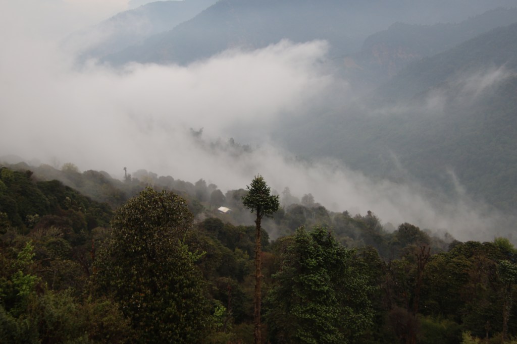
Earlier

Next