19th October
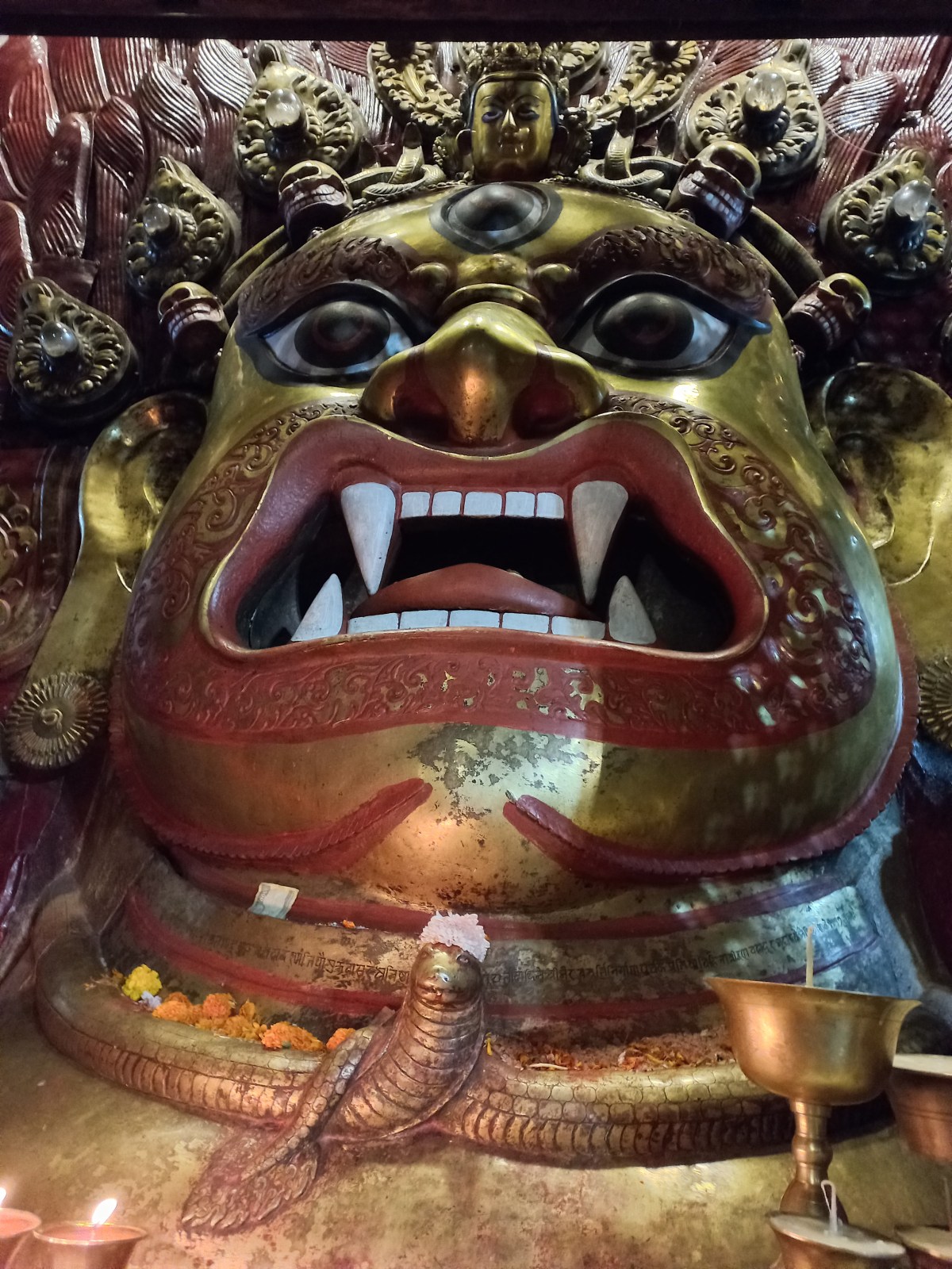
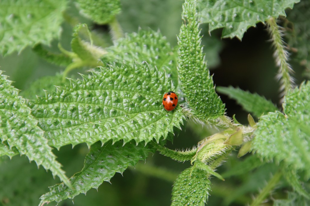
As discussed among ourselves, I woke up at 4 AM and went for a bath. Dhananjoy and Kunal were to follow after me. It was a pattern that was followed throughout the trip except for a few exceptions. Warm water was not yet available. The water heating system was based on solar power. The trick was to let out significant volumes of water (more than a bucket). After that, lukewarm water started flowing. While all that was underway, I completed shaving, probably the last chance to do before we returned to Kathmandu. We left the hotel premises, hired a cab and started for the Pasupatinath shrine. There was a slight chill in the air as the vehicle went through the streets of Kathmandu in the darkness. As we entered the temple complex, the familiar sounds of bells and the fragrance of incense and candles greeted us. I’m not a religious person. However, I enjoy the serene atmosphere of this temple complex. I find the cremation ground at the back of the temple particularly peaceful. The ones who leave this world, are brought here for their last rites on the banks of the Bagmati river. Their lifeless bodies get bathed in the waters of Bagmati before they are taken to the cremation pyres.

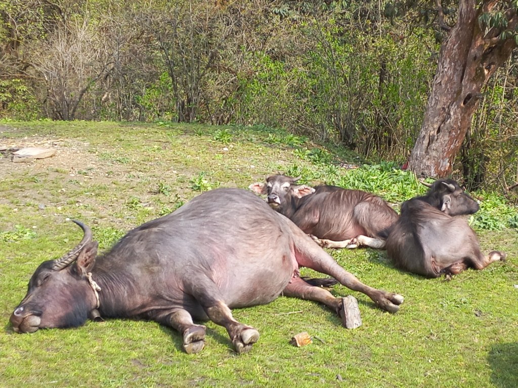
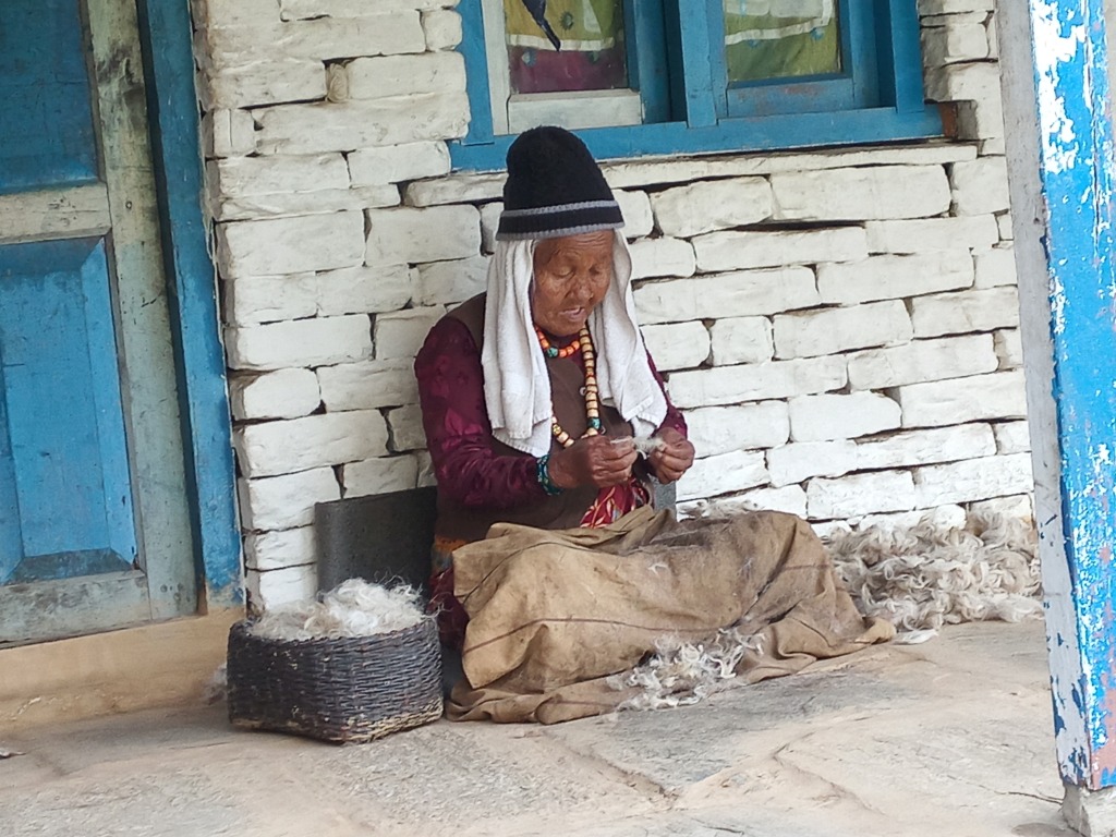
After visiting the shrine, we crossed over the Bagmati to its other bank. Stair cases go up towards a park full of trees and more temples. We ascended them to reach a top. We had cups of teas at a tea house there. Scores of people were on their morning stroll, some even engaged in exercises. A barrage of monkeys followed the pedestrians, many of whom gave them food. Observing such incidents, it was clear that the monkeys expect this every morning. They are well acquainted with the human givers. After a quick look at the watch, we returned the same way. A cab ported us back to our hotel at Thamel. We headed for the breakfast table for the buffet. A lot was on the offering – breads, butter, jam, puri-sabzi, omelets of different variations, tea, coffee, fruit juice etc. It was a problem of plenty and we ate more than usual.
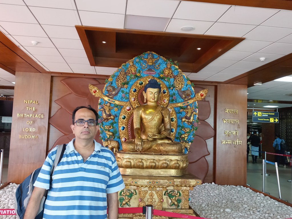
At 8 AM, a cab entered the gates and Raju alighted from it. That was a pleasant sight and it drove out a lot of skepticism from my mind. After loading our main baggage at the rear, we entered inside with our daypacks. Off we went for the domestic terminal of the Kathmandu airport. The streets bathed in bright sunshine as we followed almost the same route for the Pasupatinath shrine. The pleasant weather made me dose off. I woke up just in time as we entered the gates of the domestic terminal. It appeared the same as we saw it during our Everest base camp trek. It appeared more like a bus terminus than an airport.
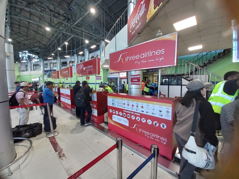
The small baggage check-in counters don’t have the sophisticated conveyor belt system. Airline employees accept the baggage. They dump the bags on to a trolley. A carrier drags the trolley over the runway to the aircraft. After baggage check-in, we waited in the departure gate. We fixed our gaze on the electronic screen used for displaying flight departures. Flights were leaving for various destinations in Nepal. These include Pokhara, Biratnagar and Bhadrapur, which is the base for the Kanchenjunga trek. Additionally, flights were going to Nepalgunj. This city is a gateway to the areas of Western Nepal. Flights were also going to Luk-La. Luk-La is the base for the Everest region. Our destination was Tumlingtar. The flight was to depart at 9:40 AM. That kept getting delayed, first by 20 minutes, then by another 15 minutes. I inquired at the information desk and was told that the incoming flight from Tumlingtar was delayed. Apparently, heavy air traffic wasn’t allowing it to land and the pilot was taxiing in the air! They also showed me the flight map. The plane already made two concentric circles and now was heading towards the runway. We hoped for announcements, but suddenly, the electronic screen showed the flight status as “boarding”. I hurried up the rest and we headed for the bus. A ride took us to the waiting plane with an open belly. The trolley carrying the baggage was already there and the airline staff were loading them into the plane. Even after we boarded the plane, announcements were made for further delays. I kept checking the time. A delay would affect our arrival in Seduwa, which is the starting point for our trek. It takes 7-8 hours by drive to reach Seduwa from Tumlingtar. Add to that, another hour in between for baggage reclaim. You also need to scout for the vehicle. According to inputs received from fellow passengers, one also needs to break the journey at Khandbari. Direct transit is not possible.
Flight to Tumlingtar
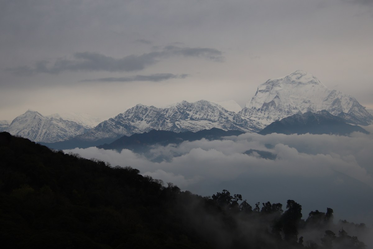
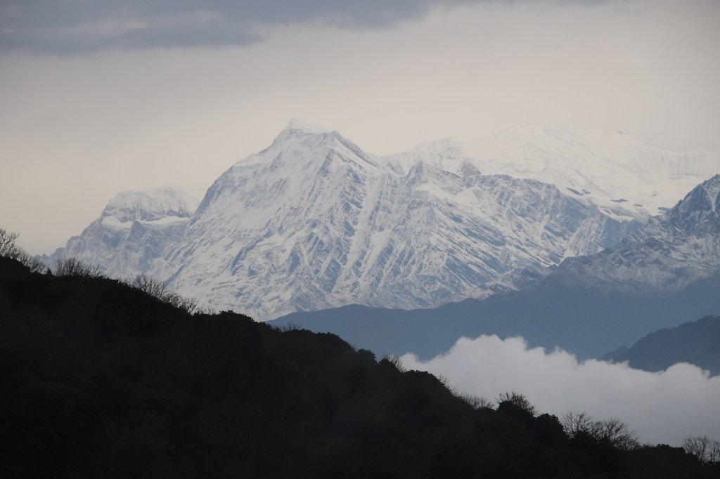
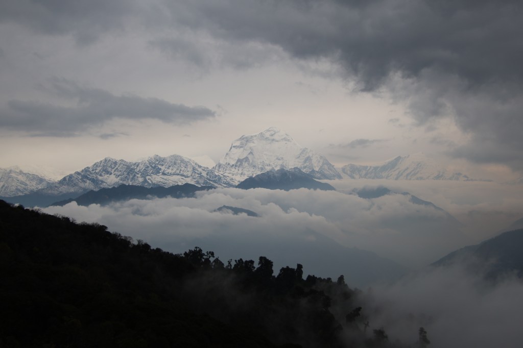
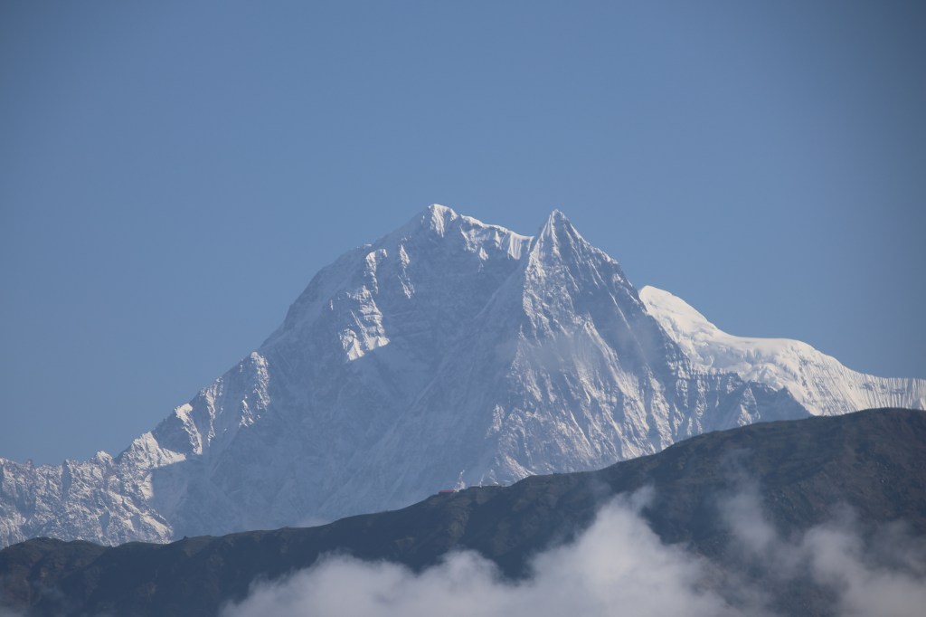
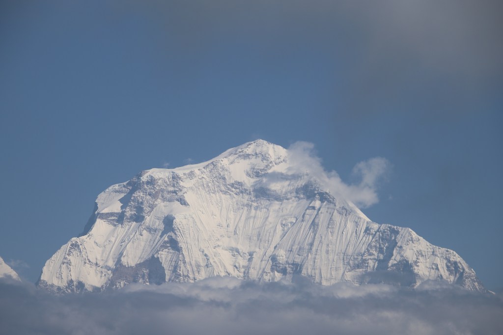
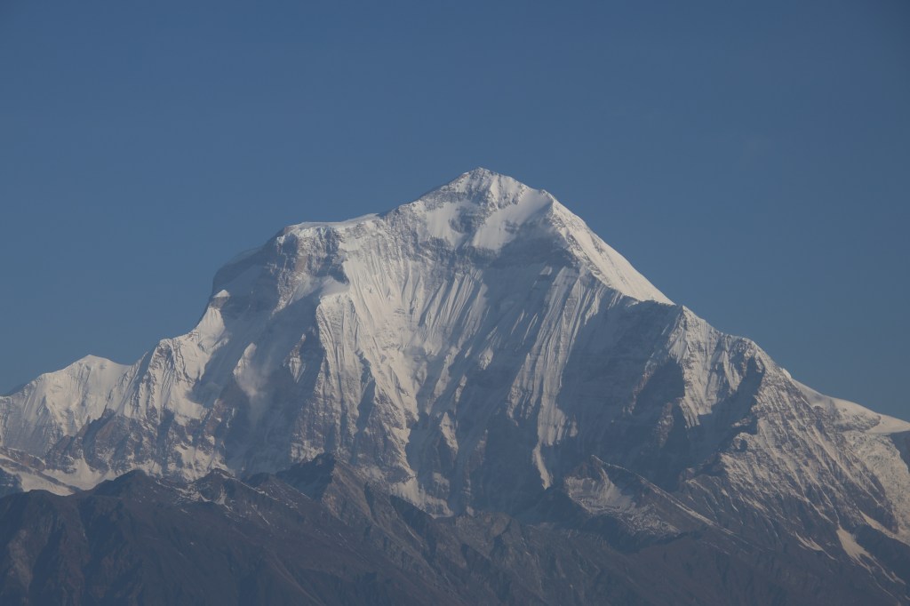
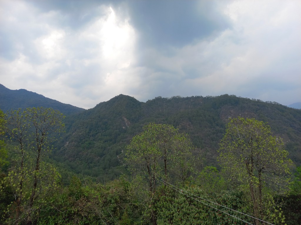
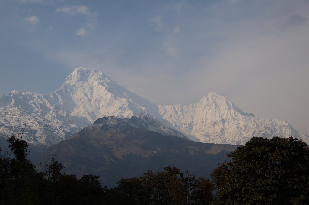
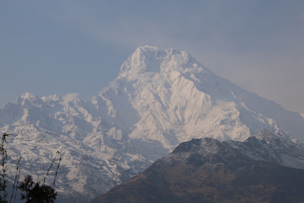
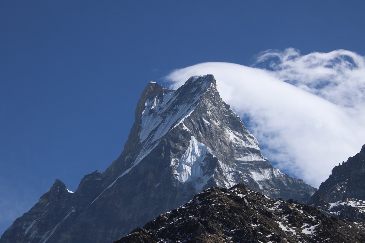
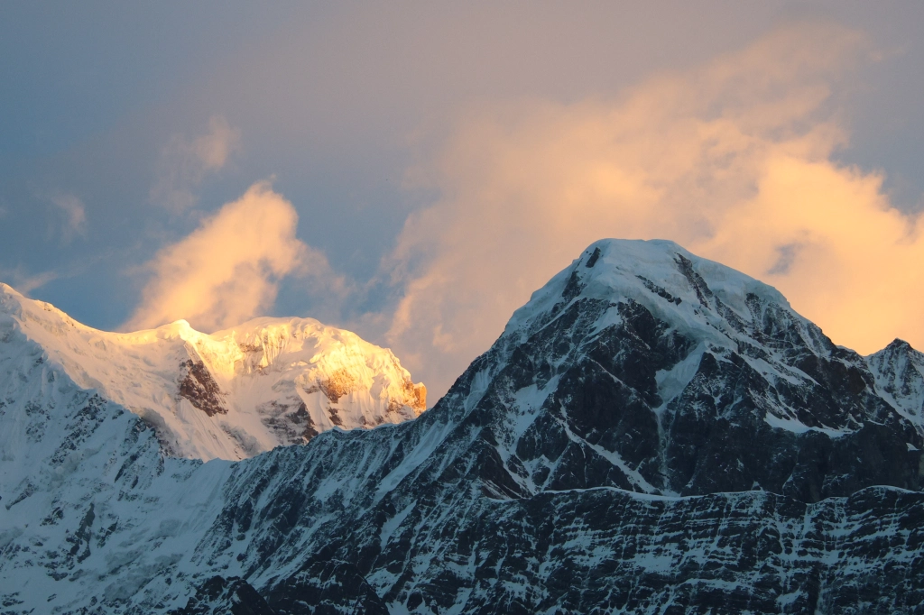
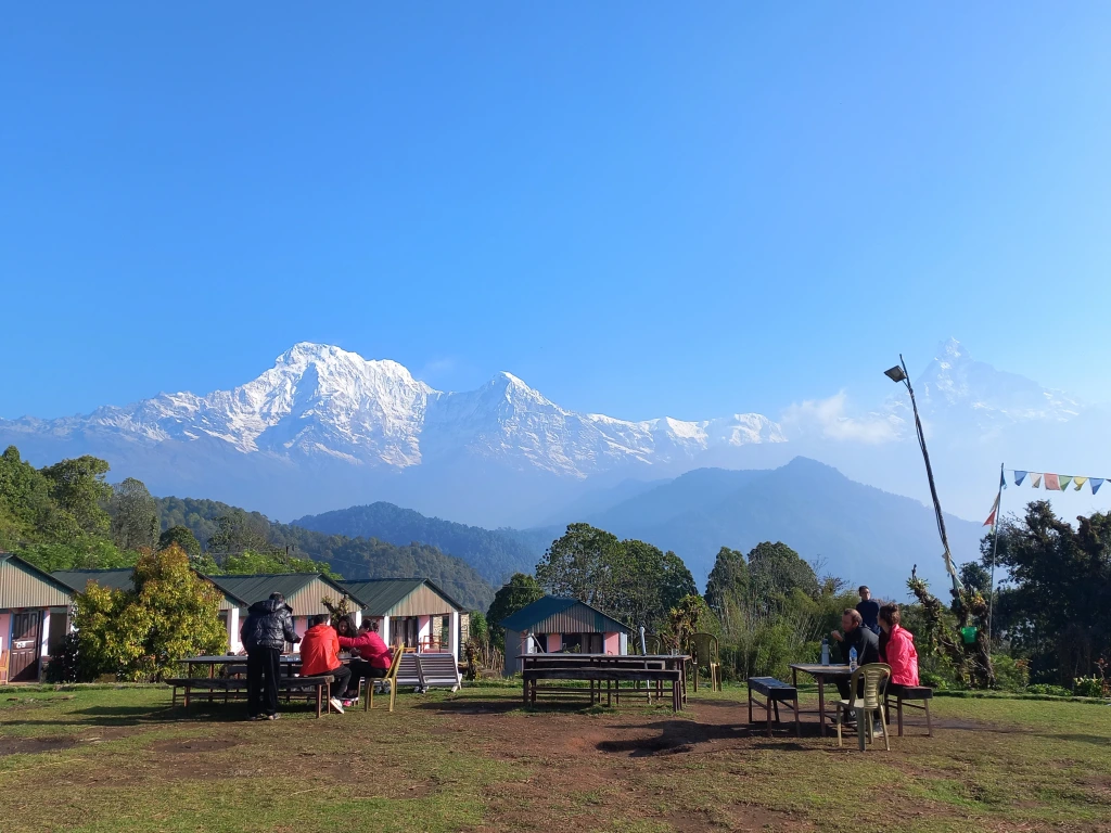
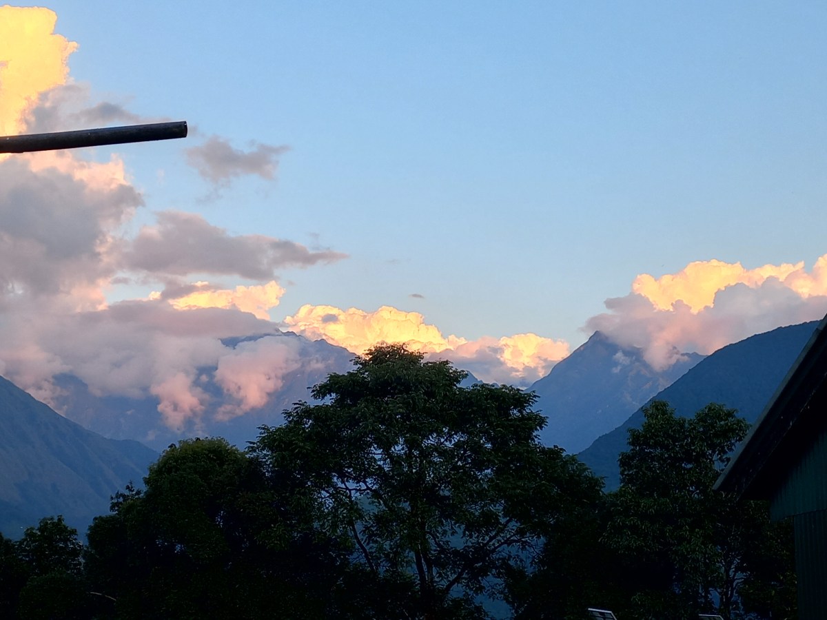
Finally, we took off at 12 PM. As the flight took to the air, the Himalayas were up for display from close quarters. This time it was the Everest, Lhotse and our destination, Makalu, who made their appearances.

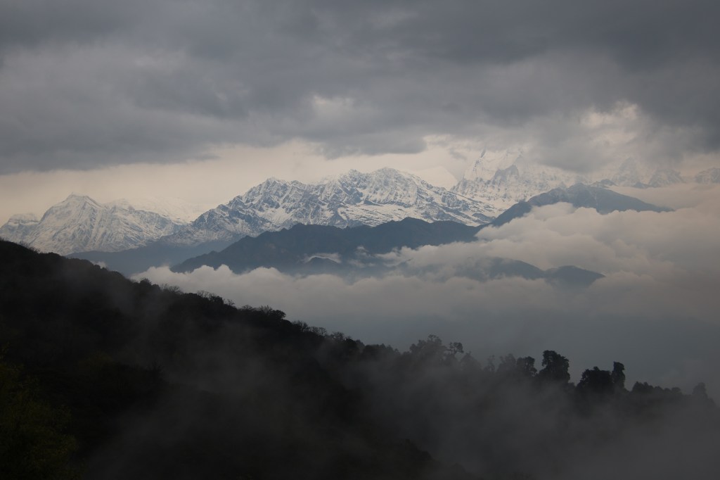
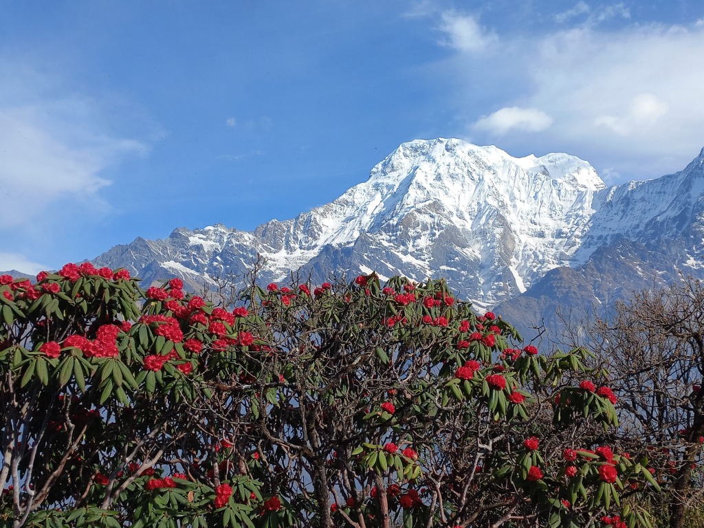
After about 30 minutes, we started our descent to Tumlingtar. The lush green valley bathed in bright sunshine. The hills had a thick green cover interspersed with terraced cultivation fields. The fields had a golden yellow hue formed by ripe paddy and millet. Then came the wide and serpentine expanse of the Arun river. All along, the size of the picture kept increasing. As soon as we crossed the Arun, the plane touched the Tumlingtar runway. Its speed decreased after it reached the other end of the runway. It then turned around and came to a halt after a short stroll. We alighted to the runway and stood outside to soak in the beauty of this small air strip.

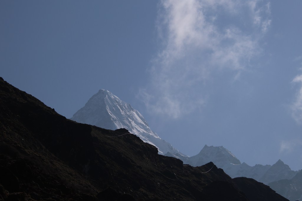
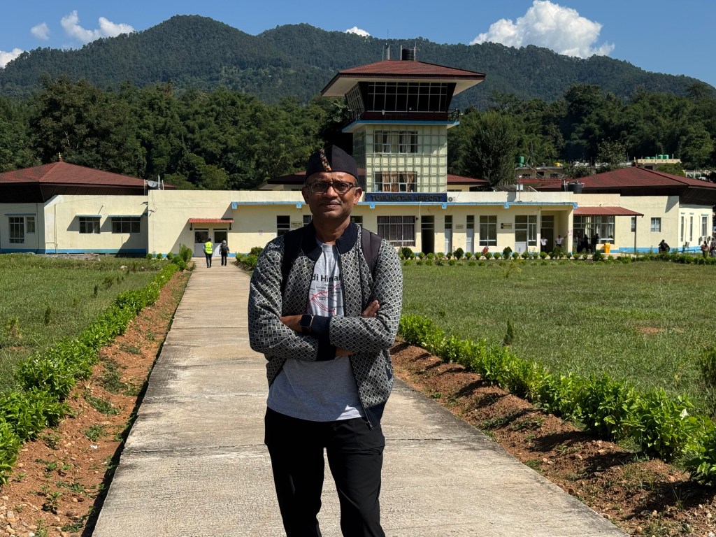
The Tumlingtar airport (rather air strip) has a small runway surrounded by green hills on all sides. It is an important gateway to the Sankhuwasabha district. Generally, there are 1-2 flights in a day between Kathmandu and Tumlingtar, but it varies based on traffic. It can even be zero (as we found during our return) based on weather conditions. Occasionally, they also increase the operations (especially during festival times). They are operated by Budhha air.
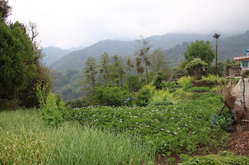
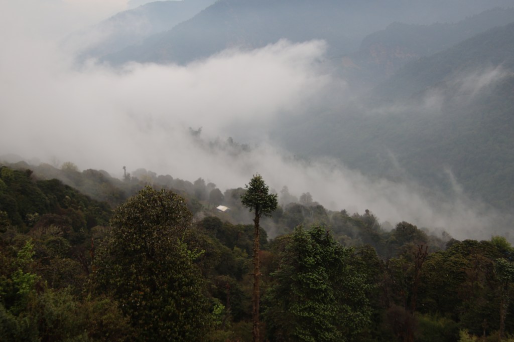
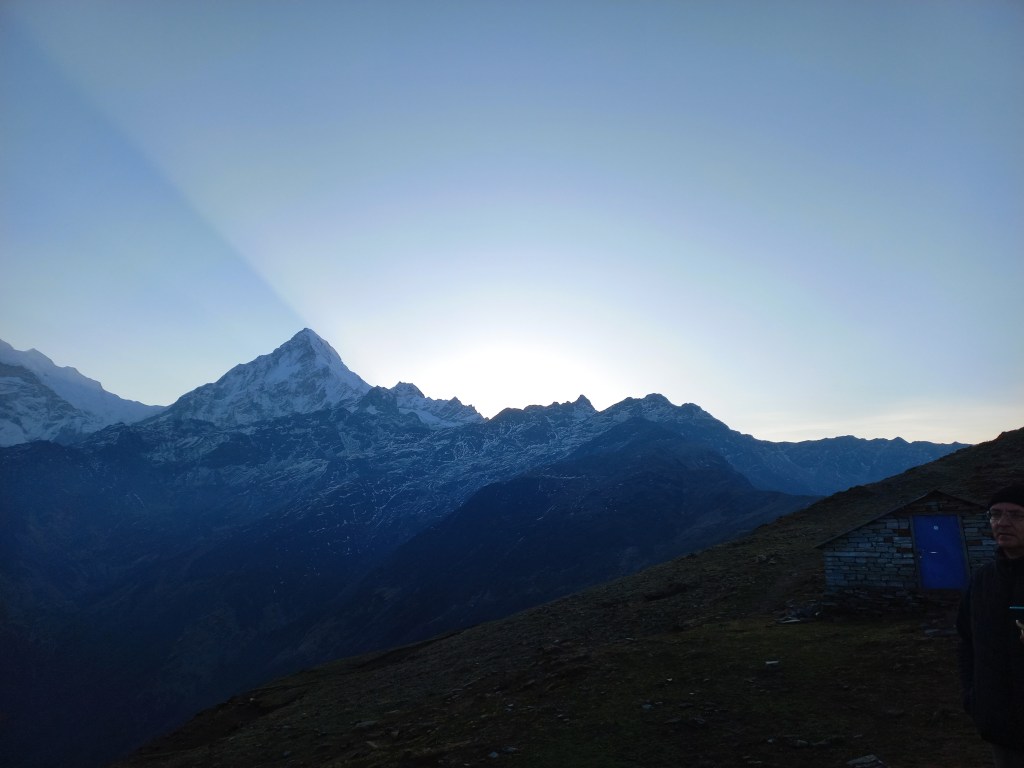
After some photo shoots at the air strip, we headed for the terminal. There were just a few rooms. Raju went out in search of a vehicle while we waited for our baggage to arrive. After sometime, we boarded a vehicle which would take us to Khandbari. From thereon, we need to scout for another ride. Many vehicles were absent from the road. This was due to Bhai duj, a festival where sisters pray for the well being of their brothers. We headed to the parking lot and boarded the vehicle. It started its journey through the low areas of the Arun valley. The road was lined by dense forests on both sides. Villages appeared with terraced fields filled with the ripened crop of paddy or millet waiting to be harvested. It was full of greenery as we moved up the serpentine roads. We stopped at Khandbari for lunch. It was an important town on this route. As we moved into the hotel, Raju got in touch with a few drivers for our next commute. After lunch, we heard that our luggage was already in another vehicle. This would take us to Seduwa. I purchased an international roaming pack from my cellphone provider. I informed my home about our progress and embarked on our post-lunch journey. The road condition was still good and the vehicle made decent progress. A full stomach and the serene greenery made me doze off once again. We halted at a place called Num at around 5 PM to have some tea. The golden due of the evening reflected off the distant clouds. This indicated that the sun was on its downward journey.

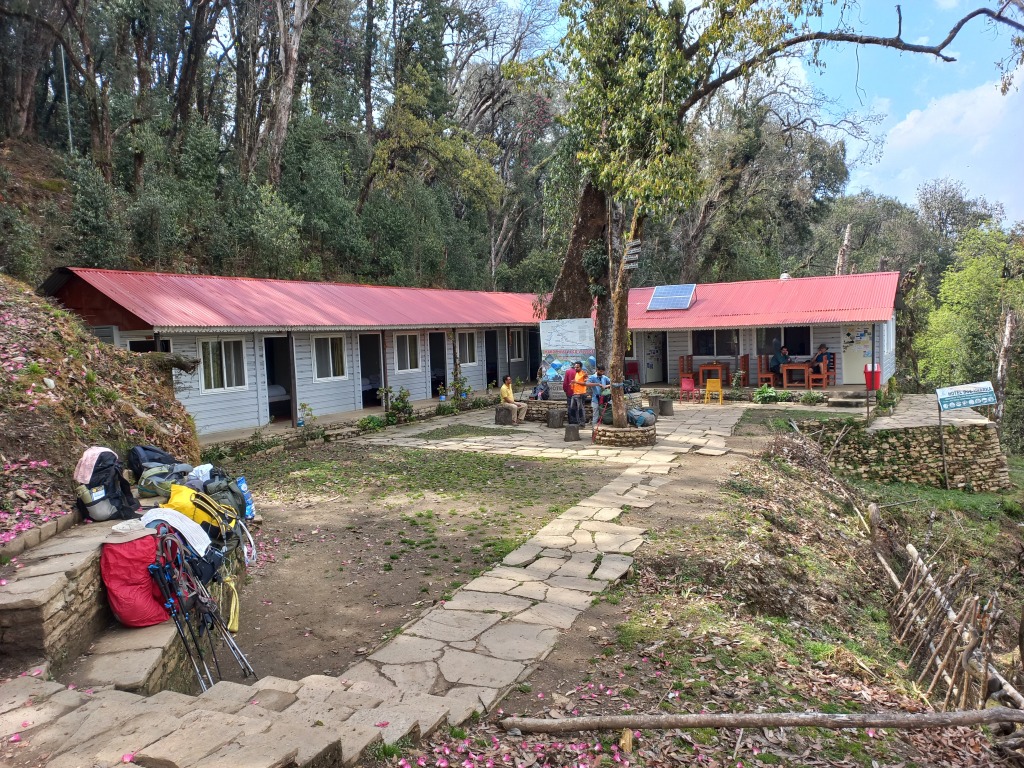
After Num, the road condition deteriorated. Though it was wide enough, but the potholes increased along the surface. After sometime, the paved road disappeared and was reduced to a dusty and rocky surface. With that, the comfort of ride also disappeared. This kept true to the facts known about this route. This applies to many routes in Nepal where vehicles ply, but paved roads don’t follow them. In earlier itineraries for Makalu base camp, Num was the starting point for hikes. Though uncomfortable, this bumpy ride would save us at least two days of walk. While this gives some relief for the current trek, it also highlights that trekking routes are decreasing. This is happening in different areas of Nepal. Almost in every circuit, treks have shortened by 2-4 days because of road construction. For example, it takes 2 days lesser today than what it took for us in the Manaslu circuit. We kept plodding on. After sometime, darkness set in and the headlights came on. We realized we were traveling beside a fast moving river torrent. We asked the driver to stop the ongoing music. That’s when the roaring sound of the Arun river reached our ears. In the darkness, its roar gave a chilly feeling as the driver negotiated the bumpy road. There were many switchbacks where the driver had to go back and forth using reverse gear to negotiate the bends. The road was so rough that many times our heads bumped with the ceiling. We had to keep a watch. The travel seemed never ending and we kept gaining altitude. After many such switchbacks, we finally reached Seduwa. The last ride before the vehicle came to a halt seemed vertical (well, almost). I saluted the driver’s skill as without it, its impossible to drive a vehicle on such terrains. We stayed at the first available lodge at Seduwa. It was basic, but had the necessaries. At least it had facilities to charge our batteries and phones. We’d find this rarely in the lodges at higher altitudes. Wi-Fi wasn’t available and thanks to the international roaming pack, we could inform our homes about our arrival. We changed to our home wears and moved to the dining area. This is where we met other groups who were embarking on the trail. There was a French group, who were embarking on the Sherpani col pass trek. This involved traveling to the Makalu base camp and moving further up through multiple passes (more than 6000 m) to reach the Chukhung village. From there on, one enters the Solu-Khumbu region and descends via Tengboche and Luk-La. It was a group which would accompany us to Khongma. We got friendly with the porters and guide of that team. We also met our own porters, Anil and Manoj. They were from villages in the regions further down from Seduwa. They were two brothers (aged 22 and 19 years, respectively) and appeared simple and jovial. They’d prove to be vital cogs in this trek’s wheel. The next day’s trek was supposed to last about 3 hours, taking us to the next halt, Tashigaon. We reclined to our beds under comfortable blankets. We were sleeping at approximately 1500 m.