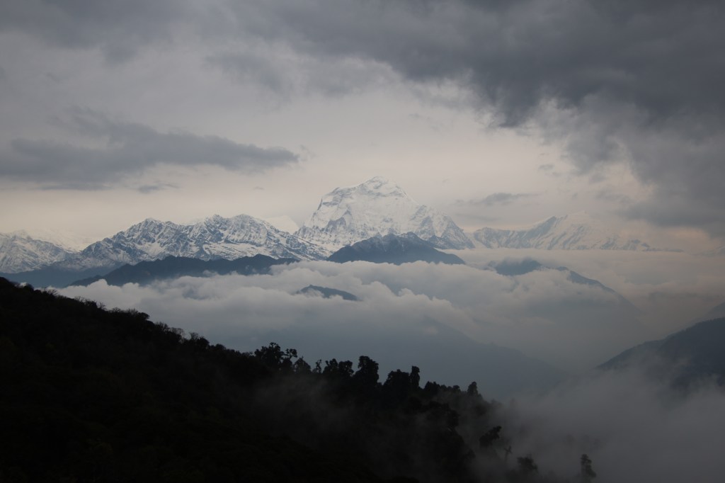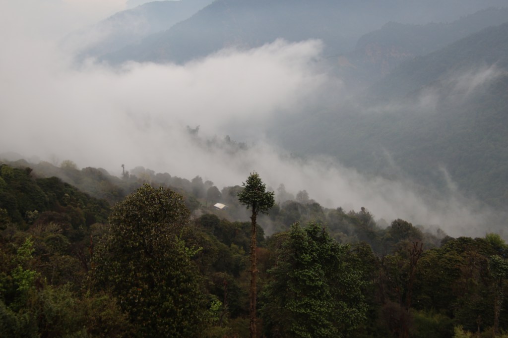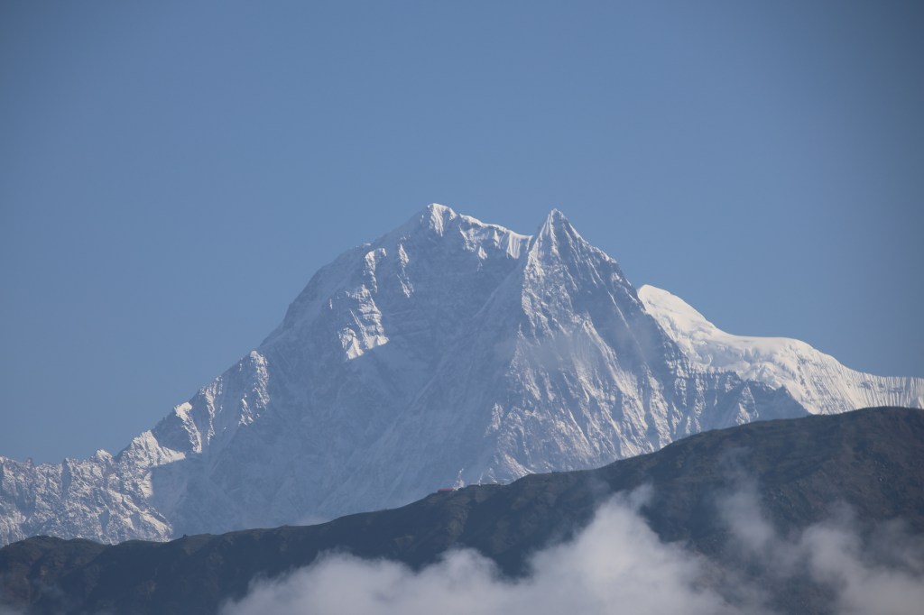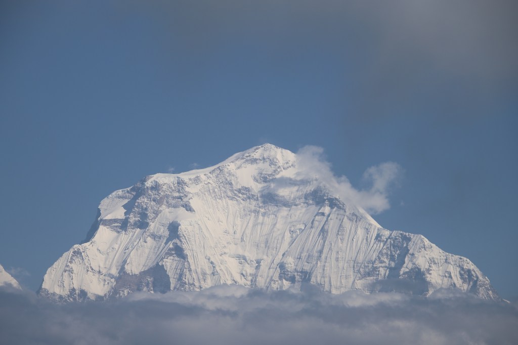
The Barun valley – Tashigaon

Earlier

Next

20th October

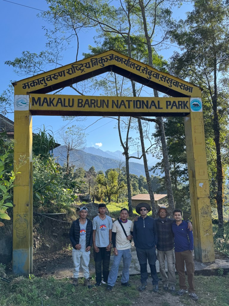
Food options at the lodge weren’t great. We ate noodles at dinner last night. They were thick. We had challenges to gulp them down our throats. Breakfast was somewhat better. Yet, Seduwa offered the last chance to charge my camera batteries. The next available choice was at Phemathang, which we reached much later, that too, unplanned. But that’s a story to be told later. After Raju settled the bills, we assembled in front of the lodge for a group photograph. Anil, Manoj and Raju joined us with all our trekking gears. Another was taken at the entrance gate of the Makalu Barun National park.
Picture courtesy, Dhananjoy Dey

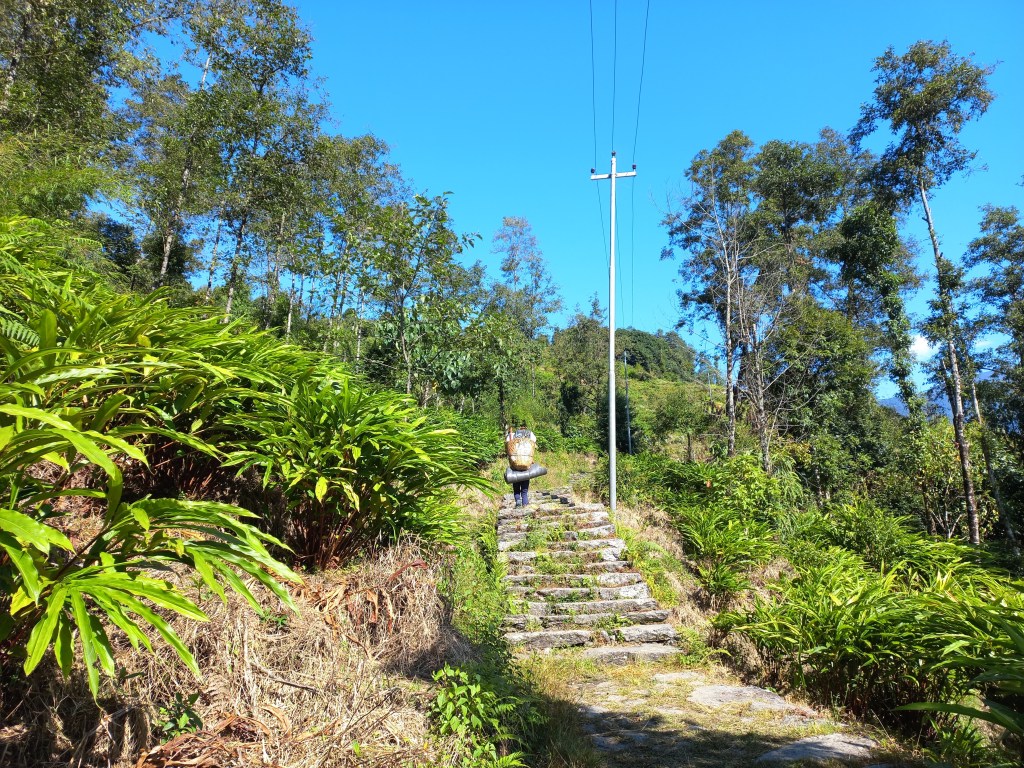
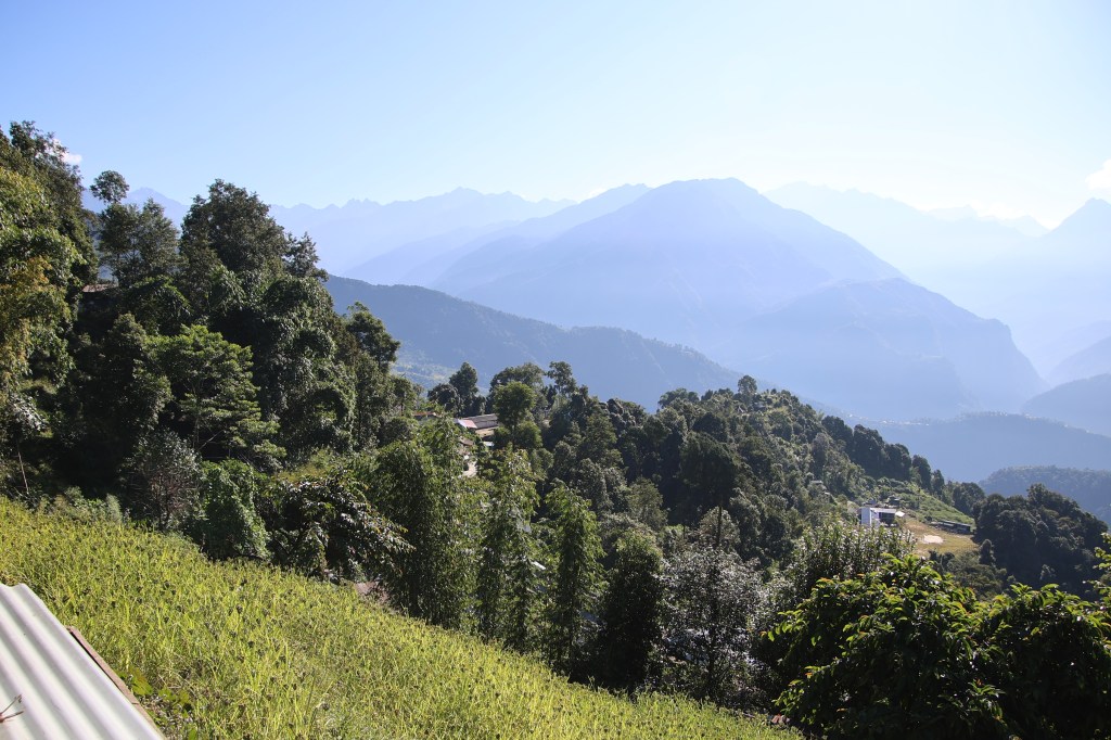
Going by the plan, we would return here after another 10 days. We started hiking up the stairs amid bright sunshine, a clear sky & sweeping greenery. Seduwa is a relatively large village. While moving up the slopes through the alleys amid the terraced fields, we watched the village life. People were gradually getting on with their daily routine. The bright green crop of millet had a hue of yellow.

Seduwa
Seduwa

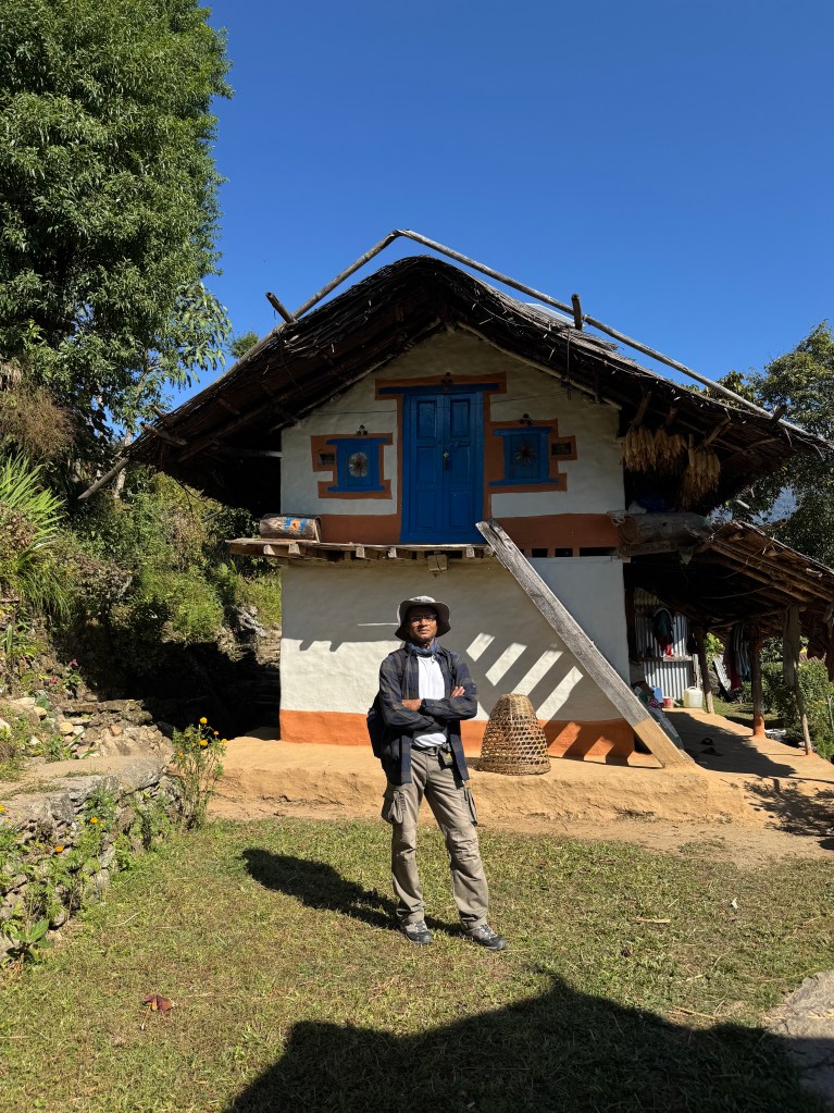
Children were either playing at the fields or on their way to school or some work. Some villagers were in a huddle of gossip. In one of the village homes, we saw a barber at work. He wrapped his client in a sheet while his scissors were working through the hair. In the balcony of yet another home, a harvest of ripened corns were hung up for drying in the sunshine. The trail went up amid the serpentine lanes, alleys & fields.

Picture courtesy, Kunal Kishor
Seduwa, Picture courtesy, Dhananjoy Dey
Seduwa
Seduwa
Seduwa

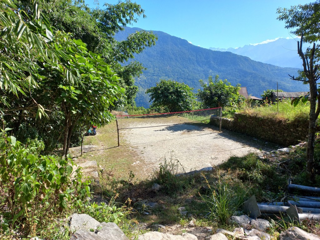
At every junction, the locals were in huddles, engaging in leisurely conversations. No one seemed to be in a hurry. At onetime we went past a volleyball court. It was a small strip of flat ground split into halves by a net. It was slightly larger than a terraced field, surrounded by sloping hills covered by thick forests. It was probably the most picturesque volleyball court ever seen in this world. When we passed beside it on our way back, it came up as a nostalgic recollection.
Seduwa

The trail gradually moved upwards. We crossed multiple streams flowing across our path, some by careful tip toeing over boulders, others by bridges. Then we came at the base of a set of stairs. After ascending them (there were many of these), we reached another village. A group of 15 -17 trekkers were resting at a tea house. We chatted with them for a while. They were a European group with many aged people. While coming along we saw cultivation of cardamom. These plants are abundant in the Eastern Himalayan region. We saw them in Sikkim. This region of Nepal is not very far from there. Hence, it wasn’t surprising that it had a similar cultivation pattern. The flora & fauna is also similar. For example, the elusive animal Red Panda is known to live in the forests of the Singalila range. This range is in West Bengal & Sikkim. It can also be found in the forests of the Makalu Barun National Park. One can as well find a goldmine but not see a Red Panda in the wild. Freshly harvested cardamoms were laid over the roof village homes for drying.

En-route Tashigaon

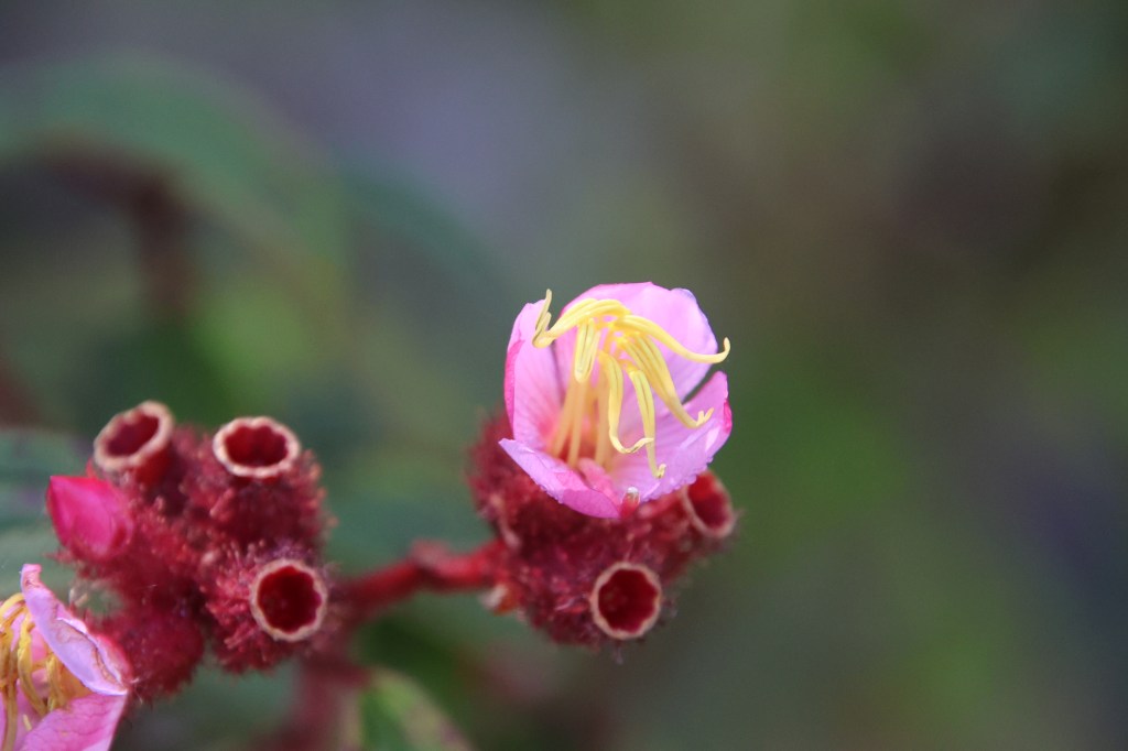
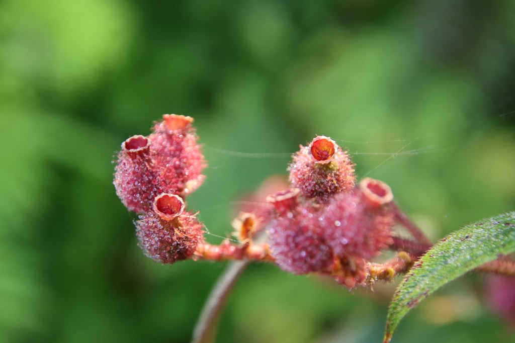
We now moved along a narrow path through the hills, barely enough for a single person to walk. Thick bushes closed in from both sides. It was obvious that we were taking a short cut. The trail moved up and down, unlike the wide track which we came across earlier. I now realized that the place where we left the wide track to ascend the staircase, was a junction. The trail now moved down and merged with the main track. Once again we were on level ground (as far as it can be, in a mountainous area). But instead of villages, we were now walking amid forests.
En-route Tashigaon
En-route Tashigaon

Raju & Dhananjoy spotted trees of wild berries. The fruits were ripe & orange. There were thick bunches of these fruits that hung from the trees. They were up for grabs and we feasted on them. I recalled seeing locals selling these in and around streets of Pokhara. The forests acquired different colors of foliage. I remembered that it was autumn, which is known as fall in Western countries in temperate zones. Forests in such climates acquire colors in this season, famously known as “fall color” in the Western world. We kept strolling along the trail amid such wonderful colors. Thick bunches of ripe berries kept drawing our attention towards the bushes and slowed down our speed. No one was worried because the hike for the day was supposed to last only for about 5 hours. We were expecting to reach our destination Tashigaon before lunch.

En-route Tashigaon

Tashigaon is a Sherpa village. Just like the neighboring district of Solu-Khumbu, members of the Sherpa community also inhabit the higher altitudes of this area. The word ‘Tashi’ in the Tibetan language (from which the Sherpa language derives) means good fortune. The Sherpas often greet others by the phrase ‘Tashi delek” which conveys well wishes to others. The phrase is often heard not just in the Sherpa inhabited villages. It is also common in other high altitude areas of Nepal that border with Tibet. It is very commonly heard in the Khumbu region. We stayed at a lodge in Tengboche. Tengboche is the next halt after Namche Bazar on the Everest base camp route. The lodge was named “Tashi delek”. This phrase is widespread in the higher areas of Manaslu and Annapurna as well. You can hear it in places like Samagaon or Manang. Most of the Sherpas live in the districts of Eastern Nepal e.g. Dolakha, Sindhupalchok, Rasuwa, Solu-Khumbu (the Everest area), Sankhuwasabha (the Makalu area) & Taplejung (the Kanchenjunga area). Some also live in the Helambu region. It is to the North of the Kathmandu valley. This area is near the Lang Tang area. Sherpas can also be found in Bhutan, Sikkim & Darjeeling. The Sherpas originated from nomads who came from Tibet. They settled in the Himalayas of the Everest region. They are a mountainous tribe accustomed to living in high altitude areas. Life in these areas is tough and made them to toil hard for the limited agricultural activities that were possible. They often herded yaks and the grazing of these animals required them to find pastures in the high Himalayas. It is this lifestyle that adapts them to higher altitudes. Their immense strength and natural ability make them indispensable in many mountaineering expeditions, where they serve as guides and porters. They can breathe in rarefied air. Without their support, many climbers can’t even dream of reaching the higher camps of mountain expeditions, let alone summiting them. Many of the Sherpas are legendary mountaineers holding astonishing records of ascents. We met few of them in the lodges of this route. In the early days, all of the Everest expeditions happened from the northern routes as Nepal was inaccessible to foreigners. Since most of these expeditions were organized by the British, they all started from Darjeeling. It’s the British who started the tradition of hiring Sherpas as porters and guides. This caused many Sherpas to migrate to Darjeeling in search of work as expedition porters. Even Tenzing Norgay was one of them.

While walking, I suddenly noticed a moving object wriggling through the breadth of the track. I drew attention of the others. It was a baby snake. Dhananjoy was quick to capture that movement in a video. A closer look at it revealed a small hood which it was occasionally flapping. That told us that it was of a poisonous breed. We thanked nature that it was still a baby.

Courtesy, Dhananjoy Dey

After walking for some more time, we took a short detour through a village and regained the main track. We waited beside a house for our porters to catch-up with us. After that point the track moved up a little and the homes of Tashigaon started appearing.

Tashigaon, Picture courtesy, Dhananjoy Dey

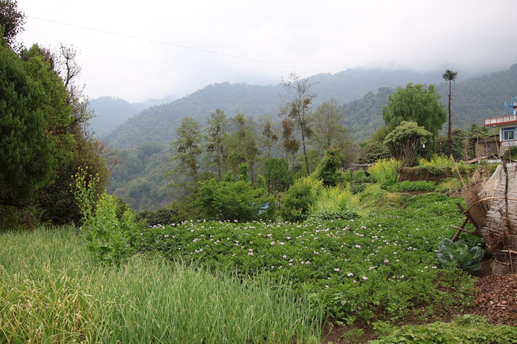
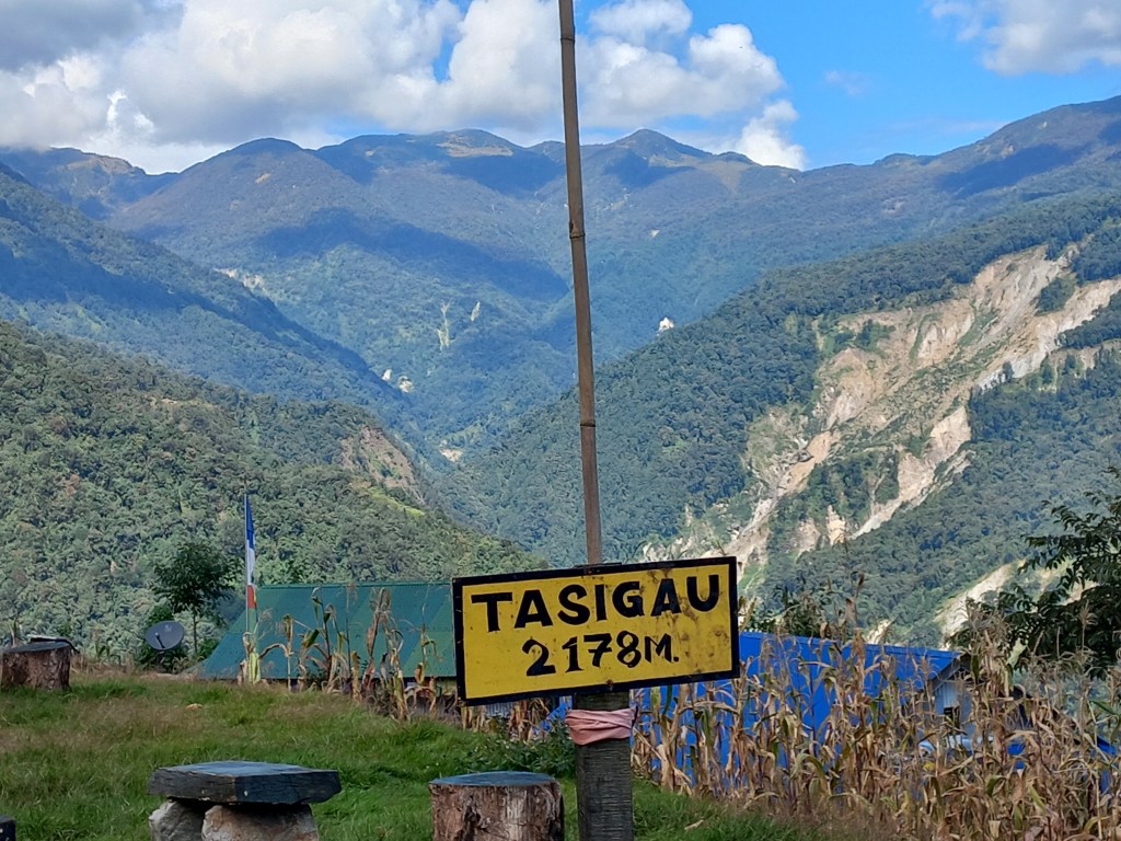
We went through the terraced fields and narrow alleys besides the houses. A few lodges were visible. While on our way, we were scouted by two little sisters. They kept pleading to stay at their tea house. We had our gaze on another lodge but their insistence and their little age tilted our judgment in their favor. One of them also mentioned that the other lodge was expecting almost 20 guests. It turned out later that this was a false statement aimed at creating a bias in their favor. Nevertheless, the girls appeared innocent. The elder sister’s name was Doma and the younger was named Dzangmu. They quickly navigated the twisting trail and led us to their lodge. Little did we know, that this decision would have a crucial impact on the trek’s itinerary. On one hand we could say it impacted us badly. But on the other, we could also say that it saved us from bad weather.
Tashigaon

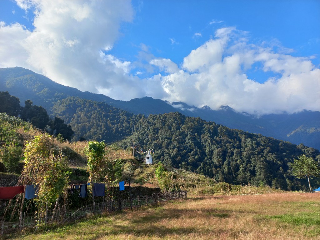
The lodge was located on an elevated ground. There was a kitchen and a dining space on one side. On the other side there were some newly created wooden rooms. They were clean, airy (a little too bit of that, as Dhananjoy found later), wide enough beds with thick blankets. The fluffy blankets almost embraced us, but I resisted the temptation. The main trail went between the kitchen and rooms. Beyond the rooms, a grassy lawn stretched wide open as a balcony that overlooked the valley.
Tashigaon

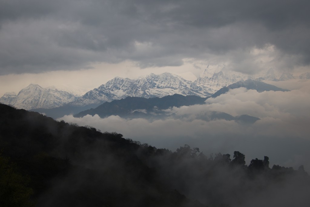
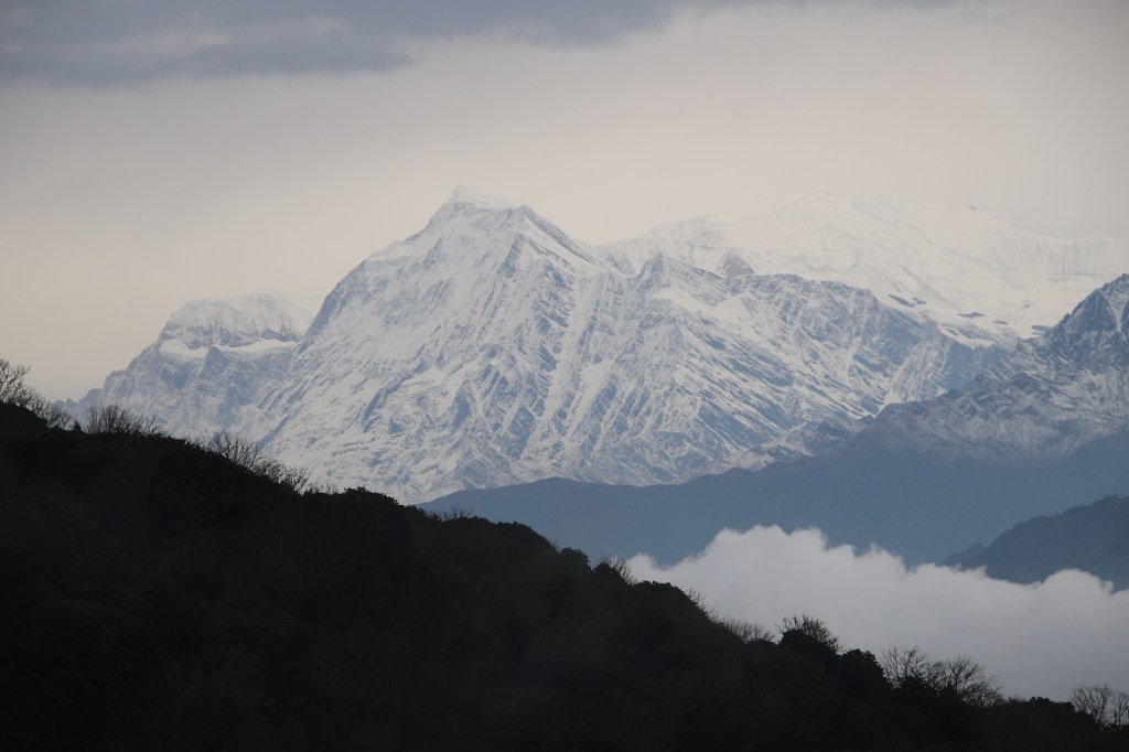
A few wooden trunks were laid in the lawn which acted as chairs. Another one was placed in front, acting as a table. We stretched our legs and sat on these amid bright sunshine. The surrounding hills wore a thick vegetation. We enjoyed a few beers in the perfect weather. While our phones didn’t work, but local phone calls were possible using a landline. They charged 50 NPR for each call. We informed our respective homes about our safe arrival. We were tempted by prospects of a mutton curry, but that turned out to be non edible. We finished the rest of the lunch. After that, Dhananjoy mustered enough energy for an afternoon village stroll but me and Kunal preferred to rest our legs. Sitting in the lawn in perfect leisure, I dozed off. When I woke up, I found the afternoon sun was showering its rays on the distant hills. The sun illuminated the clouds above them.

Tashigaon

Kunal’s seat was empty. I entered the room and found him asleep, wrapped under the comfort of blanket. That tempted me to follow suit. When I woke up, the sun was already down, though there was light in the sky. In the evening, we went to the dining place. We managed to lay our hands over a deck of cards. Our porter Manoj was taught by us to play some games. This was to repeat for the rest of the trail. The walls of the dining room were decorated with many photographs of expeditions. The owner of the lodge featured in all of them. There were photographs from Everest, Makalu, K2 and many other 8 thousanders. There was also a rack with mountaineering gear on display. It was obvious that the owner of the lodge is an accomplished mountaineer and has many summits to his credit. He has climbed Mt Everest & others on multiple occasions. The most recent was Mt Makalu in the current year. In the year 2025, multiple siblings set a record by climbing Mt Makalu on the same day. The lodge owner is one of them. Dinner was served with noodles and chicken soup. While the taste was good, but in the name of chicken mostly bones were served. We still enjoyed it. We were happy knowing that on our way down, we would have an entire day at Tashigaon. We looked ahead to it but that never happened. As night drew down, the cold increased. The wind also intensified. It passed through open cracks in the wooden wall of our room. That wall was erected recently. Dhananjoy tried to draw our attention to the sky studded with stars and constellations but sleep closed our eyelids down. We were sleeping at 2178 m.
Earlier

Next

The solitude of Khopra ridge – Ghodepani-Poonhill

Next

1st May, 2025

Unlike other days, on this occasion, we woke up with leisure. Our target was to hike to Ghodepani, a wonderful viewpoint in it’s own right, but also famous for acting as the base for one of the famed viewpoints in the Annapurna region, known for its panoramic Himalayan views. Yes, I’m talking about the Poonhill top. To reach Ghodepani (2874 m) from Swanta (2270 m), it’s a hike for approximately 600 m. Our trek was reaching it’s culmination and this day was supposed to be the last day of trekking. The following day also involved a walk of approximately 2 hours but after that, a jeep ride would take us back to the Pokhara town. We took our time to get ready as the day’s hike was likely to last for a maximum of 4 hours and we were expecting to have lunch at Ghodepani.

After breakfast, we exited the premises of the lodge and hit a dusty trail that moved down. After a switchback, the trail turned even narrower & somewhat steeper to reach a suspension bridge which transported us over a gushing stream. After that, the trail moved up and traversed through abandoned cultivation fields. There was also an abandoned house. For a moment, I lost the trail as there wasn’t any clear path. However, after sometime, I did find a feeble line of human steps, which I followed to reach a place where a muddy but wide & unpaved road greeted us. For those who’ve been in Nepal, would know that it was a road where jeeps plied. With ever increasing road reach in the Annapurna area, such unpaved roads make the first “in-roads” with vehicles already plying, while pavements catch-up with these later. We went ahead along the road. Cultivated fields lined both sides of it where a sea of yellow flowers of innumerable mustard plants stretched till the base of the distant hills which formed the boundary.

En-route Ghodepani

The flowers looked contrastingly bright in the backdrop of overcast skies with breeze creating waves among them. A few buffaloes were roaming around with their bells tinkling around their necks. It turned out that Ranjan da left his water bottle at the lodge at Swanta and was now adjusting with a temporary alternative. Hence, I waited for him just in case he needed some from mine. After he sipped some water, we resumed our hike and soon I found myself alone on the trail. After walking on the Jeep road, there was a detour that moved left the main road to move up among the forests.

En-route Ghodepani

That gave some relief. I took the detour while the Jeep road went up gradually along the serpentine slopes. Clouds started hovering again and the winds dashed against my face. That prompted me to put on my jacket. After plodding ahead, we crossed the Jeep road once more at a place called Chitre. Chitre is an important junction on this route. One road went down towards Tatopani, while another joined it from Swanta. The combined road then moved towards Ghodepani. Tatopani is an important town where this road joined the Muktinath highway which came down from the Mustang region and went towards the town of Pokhara. Hence, to reach Ghodepani by road, one could reach Tatopani from Pokhara, switch vehicles to board another for Ghodepani. A milestone declared that Ghodepani was another 4 km away, which took me back. Yugal corrected by saying that it was for the Jeep road, the alternative walking trails should be just about 2 km from Chitre. That sounded more sane & I started off on the trail.

En-route Ghodepani, ground flowers
En-route Ghodepani

The hike was gradual but went through staircases which weren’t kind on our feet & knees. There are alternate tracks available besides the stairs (often created by herds of mules) & I was always on the lookout for them as they offered a more gentle slope. Such staircases could be overwhelming, especially when they span long distances. A glance at them from lower stages make them seemingly unending. Hence, I didn’t bother to look at the top, just focused on the stairs, which eventually would run out. I recalled our long hikes over stair cases during the Annapurna base camp trail, especially on our way from Jhinu danda to Chomrong. My daughter was traveling with me on that occasion and after sometime she gave up and started crying incessantly. Amidst hovering clouds, I was keen for her to go ahead but she became resistant. Finally, one of the porters carried her on his back for the last few steps. These people offer such valuable support but often turn out to be unsung heroes. Back to the present, profuse sweating prompted me to remove my jacket only to put it back on due to the cold breeze. This dilemma never seems to leave me. I felt the need to give a fresh look at my trekking gears. It always appeared to me that I was either over or under clothed reeling or shivering under severe sweat or cold respectively. I always seem to fringe on the extremes. But that’s for later. For now, after sometime, I saw the entrance gate welcoming us to the Ghodepani-Poonhill area. Ghodepani is a terminal village in the Myagdi district of Nepal, beyond which, the areas come under another district, Kaski. I waited at the gate for Yugal & Ramesh to catch up. We had some further steps to cover before reaching the tea house. This last hike was steep but the hope of proximity kept us going. We gradually entered the main tourist area of Ghodepani which was filled with lodges on both sides. Traveling through the alleys, we noticed a direction towards Poonhill. We moved in that direction and after a small hike, reached our tea house. That implied that we’d have to hike a little less for the next day while going towards Poonhill.

We were alloted a room at the third floor. That was an ask after a tiring hike, but it meant better views, potentially, though it was all cloudy at the moment. A sumptuous lunch with rice & chicken curry was well worth eating in a large empty dining space, almost devoid of tourists. The owner & staff also kept themselves busy by watching movies or playing games. With all it’s fame, Ghodepani appeared too empty. We were to be proven wrong in the afternoon when there was a sudden spike in trekkers which set the place abuzz. Actually, it’s a pattern where most of the trekkers reach in the afternoon, it just happened that we reached a bit earlier. After lunch, Ranjan da went for a nap, while I remained in the dining room. A slight drizzle was already going on, which now turned into intense rain. Heavy rains in the mountains cause tensions of potential land slides or road blocks but it also offered a chance for the clouds to clear up. Hoping for the latter, I kept gazing through the windows. Trekkers kept coming and the buzz increased, the hotel staff too, got going on their toes. Suddenly, the chit chat turned into a collective applause. Prompted by that elation, I looked through the window to find the clouds receding, making way for the mountains to appear. The silhouette was still monochrome but it looked like a water color canvas where a painter washed out the previous scene to make way for another.

Ghodepani, canvas
Ghodepani

Clouds still graced the tree tops but they were dispersing. The likes of Gurja Himal, Tukuche and the main imposing Dhaulagiri massif started to reveal their structures while their bases and the tops were still shielded by a horizontal line of clouds. As if they were floating atop the clouds.

Gurja Himal, Ghodepani
Dhaulagiri range, Ghodepani

On our right, the Annapurna ranges also started to may their way through. The forests in the valley below looked refreshing & freshly bathed by the recent rains. Ranjan da declared that the forecast was to have an all clear sky by 9 PM. That raised our hopes for the famous Poonhill panorama for the next day. For now, we headed out, training our lenses on the Himalayan vista, making it’s way piercing through the dispersing clouds.

Dhaulagiri range 2, Ghodepani
Ghodepani

As the veil lifted, the mountains revealed their full physical structure. With the clouds still forming the background, the monochrome display appeared surreal. The Dhaulagiri massif appeared as an imposing structure inspiring awe among the viewers.

Dhaulagiri massif, Ghodepani
Ghodepani, woods
Ghodepani

As evening wore on, weather cleared up further and stars appeared in the sky. Dinner was served at 7.30 PM. The dining space was full by this time with ever busy hotel staff catering to the needs of the people. We kept gossipping with Yugal about our previous experiences in Nepal. Reminiscing about previously visited areas made us feel as locals. We discussed our ordeals and unique experiences in the routes of Everest, Manaslu & Annapurna regions. Time flied past and it was time to call it a day. After we reclined to our room, sleep eluded me as I kept glancing through the window towards the mountains. A partial moon cast it’s light over the mountains which made their outlines visible. The sky was still glittering with stars. We went to sleep with high hopes for the morning. We were sleeping at 2874 m.

2nd May, 2025

I woke up in the wee hours of the night. A quick glance through the window revealed a disappointment. Stars were not visible anymore and the mountain tops were covered again by the clouds. We couldn’t do much about it, but to sleep again till the alarm went off at 5 AM. We could hear people already moving towards Poonhill with head torches lit to light their way. When we started our journey, darkness started giving way for the dawn to break. Clouds maintained a strict veil but we plodded towards Poonhill hoping against hope. The track went up the slopes through stairs. Despite the cloud cover, people kept moving up. After sometime, we saw some of the early hikers coming down, giving up their hopes. Earlier known as the Lung Tung danda, this viewpoint was famous for panoramic Himalayan views. It was renamed to Poonhill to honor the Pun tribe who were the local people tied to the land of this area. After about 45 minutes, we reached the top, which was a flat space with a watch tower. The place was crowded with people jostling around to get a space at the front row to have better views, but these efforts were futile as clouds maintained their veil in front of the mountains. The streaming rays of the sun making their way through the cracks in the cloud armour gave an indication that the sun was already high up in the sky.

Poonhill
Poonhill

Hoping for them to disperse, we stated there for sometime, drinking tea from the local stall. The spot has lost some of it’s glory, thanks to the local crowd, many of whom were more interested in selfies than nature. This turned it into a picnic spot rather than a viewpoint. After sometime, we started our descent. On our way down, we were treated with a wonderful flute rendition by a local person who was on his way up. After we came down to Ghodepani, got ready and had our breakfast, clouds started clearing. Nature bathed in bright sunshine as cloud lifted their veil. The Dhaulagiri and Annapurna Himalayas appeared in their full grandeur. After a photographic session for about an hour we started on our way down. As if the Himalayas bid adieu with a marvellous display.

Mt Nilgiri, Ghodepani
Mt Annapurna South, Ghodepani
Mt Annapurna Main, Ghodepani
Mt Gurja Himal, Ghodepani
Mt Dhaulagiri, Ghodepani morning

We made our way down through the alleys of Ghodepani amidst the numerous lodges. We exited Ghodepani through another gate, out into the forests as the trail moved down the slopes. We descended all the way down to Ulleri, which is a big town in the area. The trail continued further down through the woods. We crossed a landslide area and after a descent of about two and a half hours, reached Banthanti. Local jeeps waited for passengers. We boarded one of them and headed down towards the town of Pokhara. Another Himalayan journey came to an end. Though clouds held their sway, prohibiting the views at times, but they were kind enough to offer a grand sunrise at Khopra danda, added to the beauty of the mountains at Ghodepani. At someday we may come back to the region once again amidst the tranquility of the Annapurna sanctuary. Till then, au revoir.

Next

The solitude of Khopra ridge – from the ridge to the valley floor

Earlier 

Next

30th April, 2025

Sleep eluded me for initial part of the previous night and I kept tossing around. I wasn’t sure of the reason, but it wasn’t due to cold as the bed and blanket (along with the warm wears) kept me comfortable. It was these aspects that always made me thank the infrastructure that is available in Nepal. Nevertheless, I had a comfortable sleep during the latter part. Hopes went high in the previous evening. The guide promised to check on the clouds and wake me up if they stayed clear off the mountains. For my part, I set an alarm anyways and when it went off, I left the comfort of the bed. It was 5 AM. A quick glance out of the sole window of the room revealed a dark silhouette of the moiuntains against a feeble background of emerging sunlight. Their tops were devoid of any cloud and there was no mist or fog. Finally, nature did choose to reward our perseverance of hiking up to the ridge amidst clouds! I still had about an hour at my disposal before the first sun rays of the morning started acting out the drama of color shades on the mountains’ canvas. I chose to utilize this to prepare myself for the day’s travel and packed my things into the bag carried by Yugal. I then hung the camera around my neck and ventured out to the open space behind the tea house. Some people already stationed themselves at the helipad, which was at an elevated place, near the lodge, some others made their start towards Khayar lake. I chose the helipad (as there wasn’t enough time left for Khayar lake). I had to hurry as this is the time of the day when the intensity and color of the solar rays change drastically and every minute counts. After reaching the helipad, I turned a glance towards the distant Dhaulagiri range and there it was, the first rays of sun started gracing their tops. The dark silhouette started acquiring golden borders along the sharp edges. The Annapurna ranges still lay in darkness while the sky lit up behind them, indicating the sun would emerge from behind them.

Mt Dhaulagiri, Khopra danda, early sun rays
Mt Dhaulagiri, Khopra danda

The cold was biting and I couldn’t move my fingers freely. I had to expose them bare off and on to handle my camera, which proved tough, but I didn’t care. Everytime I panned the lens across the vista, the colors seemed to change and that resulted in many snaps for the same subject. It’s normall to err on the side of caution as there’s always the option to retain the prefered set after examining their quality at leisure. A quick glance to the left revealed that the valley below was still covered with thick dense clouds. For someone down in the valley, it’d be difficult to imagine the vista at display up here at the ridge.

Mt Dhaulagiri, Khopra danda, solar rays spread
Mt Dhaulagiri, Khopra danda

I kept thanking my luck and nature’s kindness to have displayed its grandeur. Who would have thought about this, under the conditions that prevailed the afternoon before? The decision to hike yesterday, has paid off. Even if clouds engulf the views with the progress of the day, I’d have nothing to complain. These are the views for which one can hike for hours! Himalayan vultures kept flying around, a few crows kept screaming amidst this otherwise silent backdrop, which kept changing the canvas.

Mt Tukuche, Khopra danda

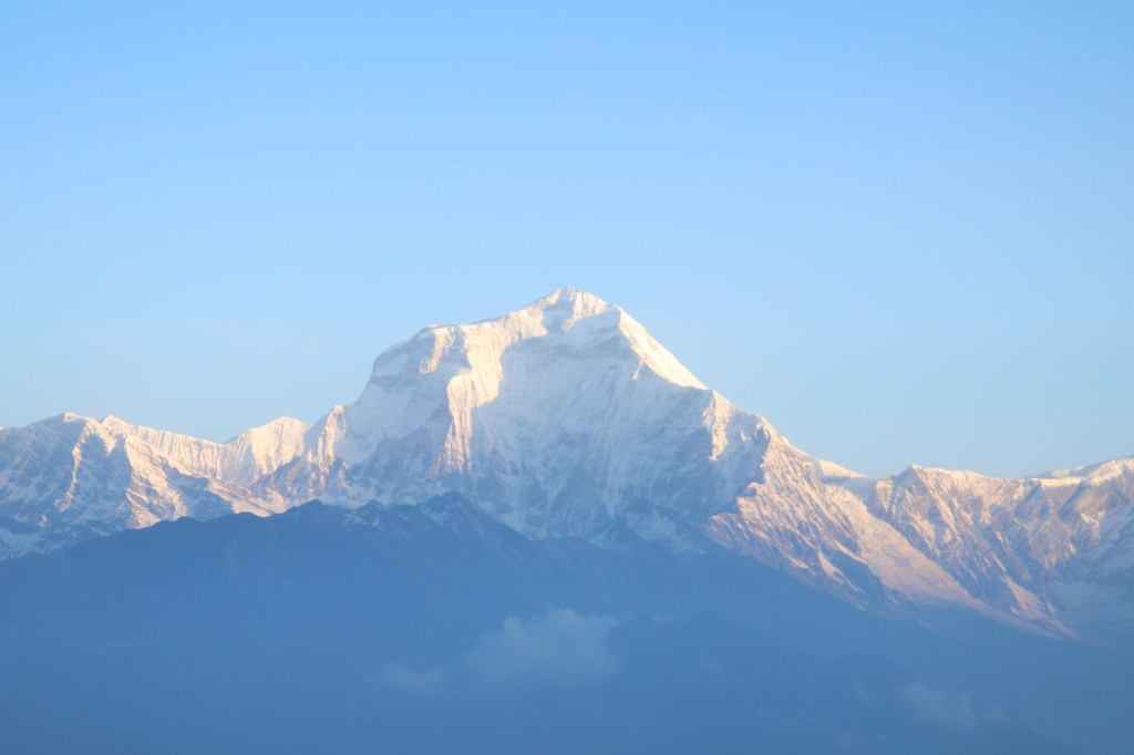
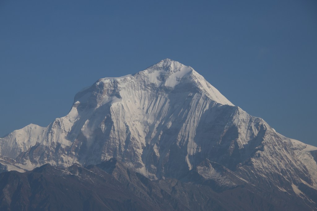
We’ve seen the Annapurna ranges from multiple angles, but it was the Dhaulagiri massif, which inspired the awe! Such a huge and imposing architecture. Mt Dhaulagiri (8167 m) is the highest mountain that is fully within the territories of Nepal. It is the seventh highest mountain in the world, just behind Mt Cho Oyu (which sits on the Nepal-Tibet border) in the race for height. The other big-wigs (e.g. the likes of Mt Everest, Mt Lhotse or Mt Kanchenjunga) are shared either with Tibet or India.

Dhaulagiri massif, Khopra danda

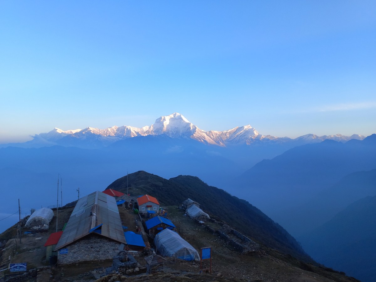
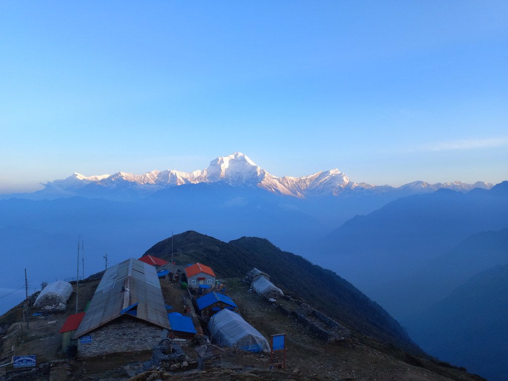
Our tea house, along with its associated supplementary structures, lay sprawling amidst the ridge, which expaned into a somewhat flat area. A deep valley lay beyond it and at the edge of it, hills rose above the horizon, gradually merging into the snow line of the Dhaulagiri range that ran from Gurja Himal in the west to Mt Tukuche in the east, now all bathing in the morning sun.

Dhaulagiri range, Khopra danda

The main and supplementary structure of the lodge appeared like matchboxes amidst this huge amphitheatre. Everything, including us, seemed belittled amongst the wide panorama of nature. The mountains and the sun were the major actors in this play and we were mute spectators. The only act we could take up was to train our lenses and roll the shutters on. As morning wore on, the brightness and intensity of the solar rays increased and the mountain peaks dazzled in their silver crowns.

Mt Dhaulagiri, Khopra danda, silver crown
Mt Dhaulagiri, Khopra danda

Sharp rays of sun emanated amidst the ridges around the Annapurna range, which still lay in the dark and going by the indications, would remain so.

Annapurna range, Khopra danda

By this time, Yugal made his appearance. He came to knock at my door, only to find it locked and hence, he concluded that I was already awake and out in the open. As the sun came up from behind the Annapurna range, the rays fully illuminated the mountains. We made our way down the slopes towrds the tea house. Breakfast got served with hot tea and after paying our dues, I and Yugal, started our journey down the slopes we hiked up yesterday. The valley too, was now cleared up and we could see deep down into it, even the distant homes along the slopes of the hills. Pointing at a red roof top, almost at the valley floor, Yugal mentioned that was Swanta, our destination for the day.

Mt Annapurna South, khopra danda, down the slopes
Mt Annapurna South, khopra danda

We gradually moved along the flat trail to reach the place marked by Chortens (Tibetan flags) and then started our descent along the same switchbacks we traversed on our way up, the afternoon before. By this time, the Annapurna ranges too, were illuminated. As we lost altitude, the ridge walls rose above us and mountains went away from our views. The same tract, that appeared gloomy on our way up, now was shining bright with flowers and colors at display in the bright norning sun. Birds too, were more chirpy than they were the day before.

On the way down from Khopra danda

On our way down, we covered the same slopes much faster and with clear visibility, it felt all the more safe. The feeling of loneliness which accompanied me on the way up, was now absent. After a few more switchbacks, we could see the roofs of the tea houses at Chishtibung. They kept increasing in magnitude as we went further down the slopes. We met the Swiss group, on their way up to Khopra danda. They stopped at Chishtibung yesterday. It took one and half hours for us to be at the dining space of the lodge at Chishtibung once again. We reunited with Ranjan da and Ramesh. They were excited to know about our luck at the morning. The sun was still shining bright. As the luggage was being merged and re-sorted, we suddenly saw a rodent, which though appeared like a rat in its color and appearance, but resembled a rabbit in terms of its physical structure. It moved swiftly along the cracks and gullies of the tracks, tipping along at the small plants that came its way. As we tried to move a bit closer for a better snap, it hid away, only to reappear to resume its activities. After some trade off, we settled at a distance that gave us descent snaps of the animal.

Mountain rodent, Chishtibung

After a small halt at Chishtibung, we resumed our descent from that tri-junction where the trail from Bailey kharka joined from the left. We now moved along the other one heading down towards Swanta. The trail now entered the tree line and once again we found ourselves amidst the dense forests. Given the cold during the morning at the heights of Khopra danda, I had my jacket on till Chishtibung, which I now transferred into my back pack. Though it increased its load, but walking was much lighter. At this time of the day, clouds started hovering again. Nature’s window of liberalism started to down its shutters. Yugal informed us that we’d have lunch at Bhainsi kharka one our way down. We kept descending through the woods and after about another couple of hours, we came across a solitary tea house amidst the surrounding forests. It had an open space around the dining room with chairs and tables. Terraced fields surrounded the main area of the lodge where cultivations were being carried out. I asked the owner of the lodge about the name of the place. It was “Al kharka”. Initially, I thought of moving further down, but then I thought of asking him again whether Bhainsi kharka was further down. According to him, there was no Bhainsi kharka along the route. That put me in a dilemma. Since there was only one trail coming down the slopes, there wasn’t any question of veering away, but the information from the lodge owner was contrary to that of Yugal. So, I prefered to wait for them to catchup. The place was quiet and tranquil. The greenery around was soothing to the eyes.

Al Kharka
Al Kharka

I kept my trekking gear on the table and sat to soak in the surroundings. Sound of a flowing stream kept murmuring, birds kept chriping in the woods, clouds acquired a darker shade, a cool breeze brushed my face. I casted regular glances at the higher slopes to look out for the rest of the group. They finally appeared on the slopes, made their way down to join me at the lodge. This was indeed, the slated place for our lunch. Yugal got the name wrong. We ordered sandwiches and french fries along with ginger lemon tea, while Yugal and Ramesh opted for standard “dal-bhat” meals. While we finished our lunch, their lunches were still being prepared and after waiting a while, they suggested us to move ahead and they would catch up along the way.

Al Kharka, leisure
Al Kharka

After the lodge, we moved down the slopes till we reached at a small hydo-electric power generation center where a gushing stream moved a few turbines which generated some electric power. After crossing the stream, the trail moved up for a few distance and then became adulating. We were once again amidst dense forests. The trunks of the large trees (many of them were Rhododendrons) were covered by green mosses. I also saw bushes of thin bamboo plants. We saw something similar at the place called “Bamboo” on the Annapurna base camp trail. Lush green vegetation looked freshly bathed in the rains falling for the last few days.

En-route Swanta, vegetation
En-route Swanta
En-route Swanta, small flowers
En-route Swanta

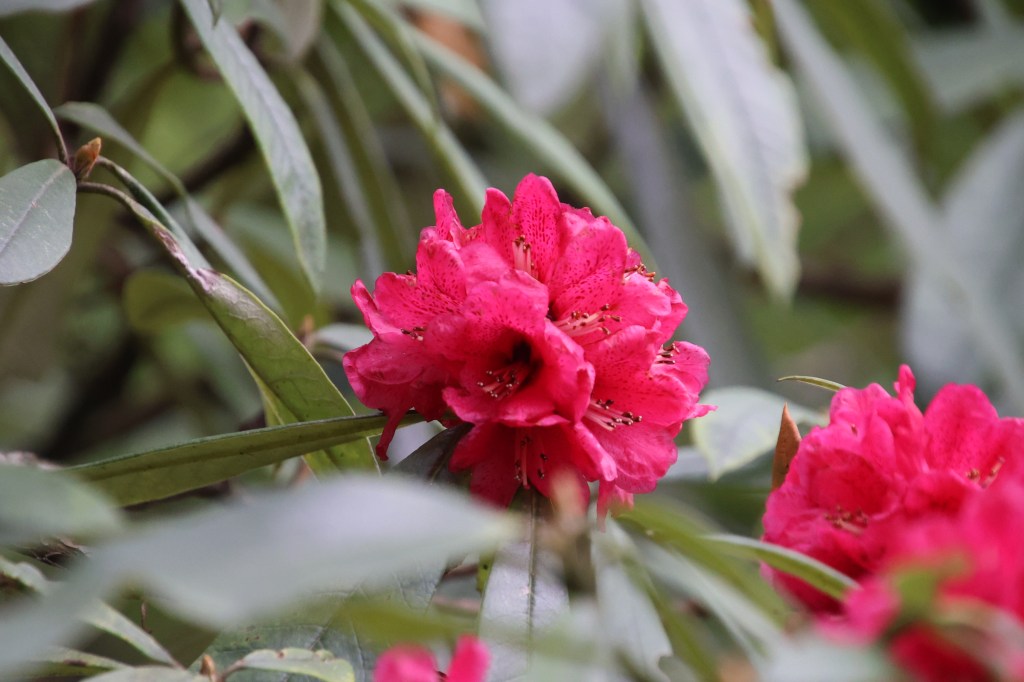
Small flowers dotted the bushes that lined the trail. Rhodododendrons too, re-appeared in their dark pink shades. This was to our surprise as we thought their blooms were over at these lower altitudes.

En-route Swanta, Rhododendrons
En-route Swanta

With the slopes either adulating or moving down, my speed increased and I kept going down fast, at times, almost running. But, after a while, I thought to wait for Ranjan da as the woods were deep and there could be chances of veering away, especially, there were still no signs of our guide and porter. I waited at a bend where two distinct paths diverged. Though I had a sense of taking one of them, but thought of waiting at least for Ranjan da. After waiting for a considerable time, he apeeared around the bend. We chatted for a while, gulped down a few sips of water and contemplated waiting for our guide and porter. However, we both thought that the choice was clear enough and kept moving ahead. After sometime, we saw a suspension bridge deep down in the valley and a few houses dotted the hill slopes on the other side. That made us think, we somehow had to reach the bridge as we were confident that that homes on the other side, belonged to Swanta. However, despite looking around, we couldn’t find a way down towards the bridge. We thought it better to wait for Yugal and Ramesh. It seemed ages before we finally heard their sounds and they appeared around the corner. Their lunches were served much later than we thought, but they came down swiftly to catch up with us. They assured us that we were still on the right path and Swanta was not on the other side (as we thought), but round the corner of the hill that we were travelling down. After sometime, fences started to appear, bellows of buffaloes were heard and a wide valley opened up with terraced fields.

Swanta, terraced fields
Swanta
Swanta, monastery
Swanta

A few houses made their appearance and more appeared nestled between the fields, as we moved into the valley. We could also spot a monastery. This was the place we looked down upon from the Khopra ridge, in the morning. I tried looking upwards to see if Khopra ridge was visible, but in vain. Our path went through the fields and reached the gates of Hotel Candle Inn, our place of stay for the night. The lodge was charming. We reclined to the open space outside its dining room where some chairs and tables were placed. We had our tea served there but clouds started looking ominous and it started drizzling. Our rooms were at the first floor with balconies opening into the wide valley. Sights of terraced fields greeted us and almost immediately, hails started pounding the roofs. We were just in time to reach our destination. For the first time in the trail, we had chicken and egg curries at dinner, which we enjoyed immensely. After drying our clothes and shoes at the fire place, we reclined to our room and slid under the blankets. Rain and hail storm was still on. We were sleeping at 2270 m.

Earlier

Next