10th October, 2022
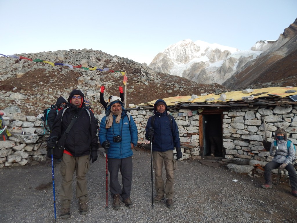
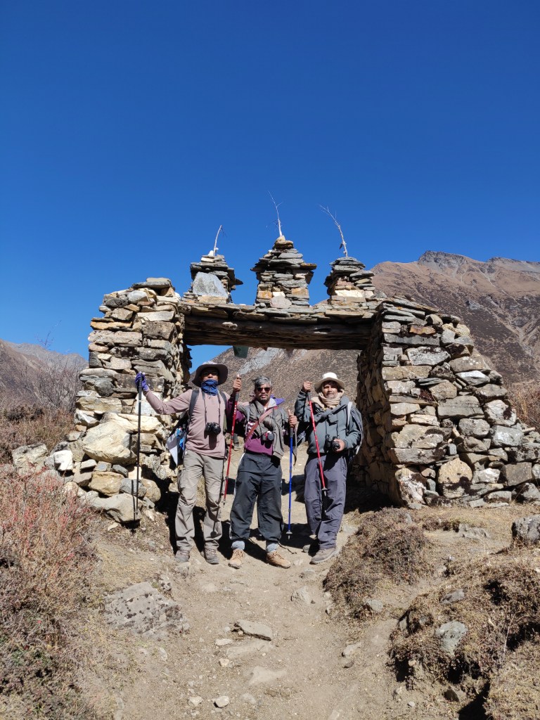
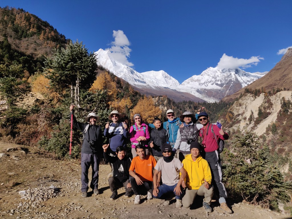
Yesterday, when we reached Dharapani, I was keen to look out for the tea house where we stayed in the year 2019 on our way down from Manaslu. We woke up to a cloudy morning, though it wasn’t raining anymore. After getting ready, we packed our bags before heading for breakfast at the dining hall. The idea is to have the bags ready for our porters to pick them up. To my dismay, the previous evening I discovered that the lower section of my bag was wet. Though it was covered with water proof sheet, but apparently, it wasn’t enough. Clothes that were stuffed in that section also got wet, something very disturbing, given that we didn’t have many to start with. These also included inner warm wears. Such items, once rinsed, do take long to dry up. I reckoned it must have happened during crossing of the flowing torrents. Poor porters must have had a hard time negotiating them, while trying to keep the sanctity of our luggage – a tough ask under such circumstances. Today’s destination was Chame. After breakfast, we assembled for a group photograph and then hit the trail.

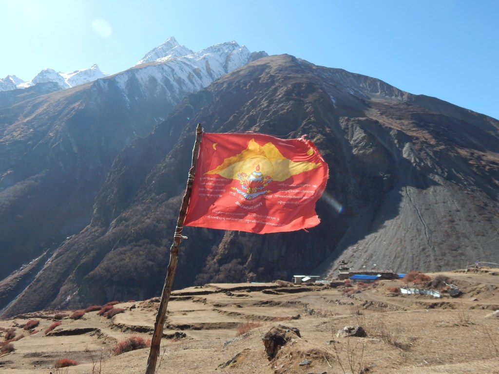
While we walked ahead, our guide went to register our details at the ACAP (Annapurna Conservation Area Project) office. They enter the details of each trekker that passes through the trail. Such entries are made at multiple places along the route to keep a track of entry and exits. Such details are tallied at entry and exit points of the trail and any mismatch results in addition to the list of missing trekkers. These apparently scenic trails can turn dangerous in no time due to foul weather.
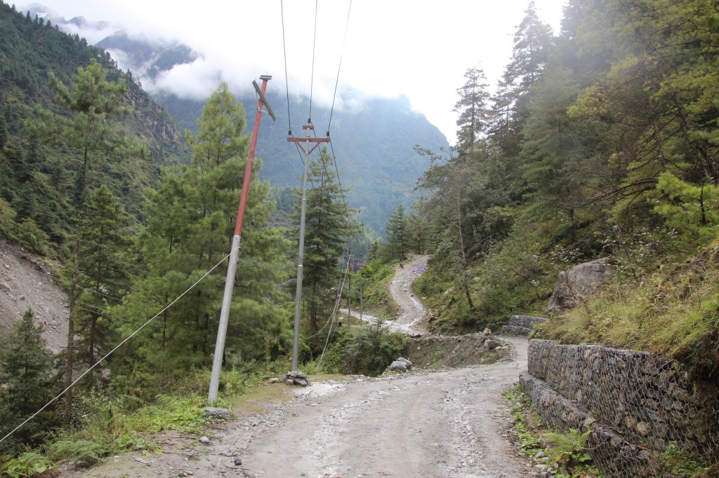
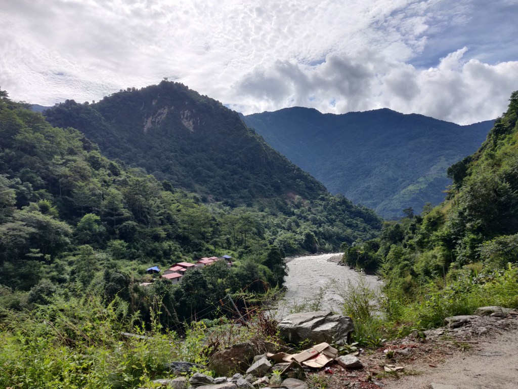
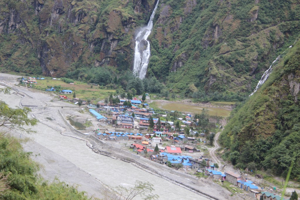
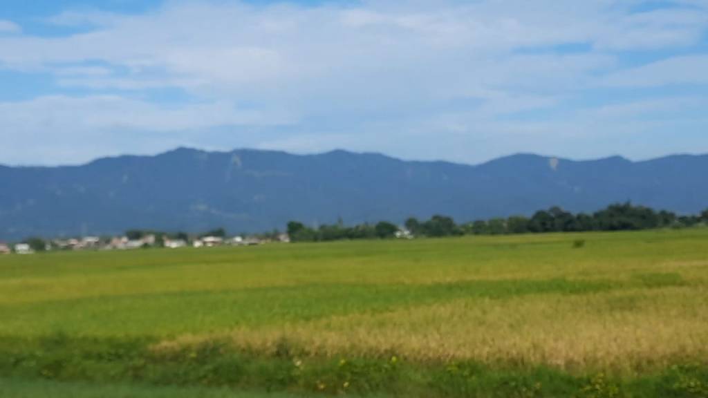
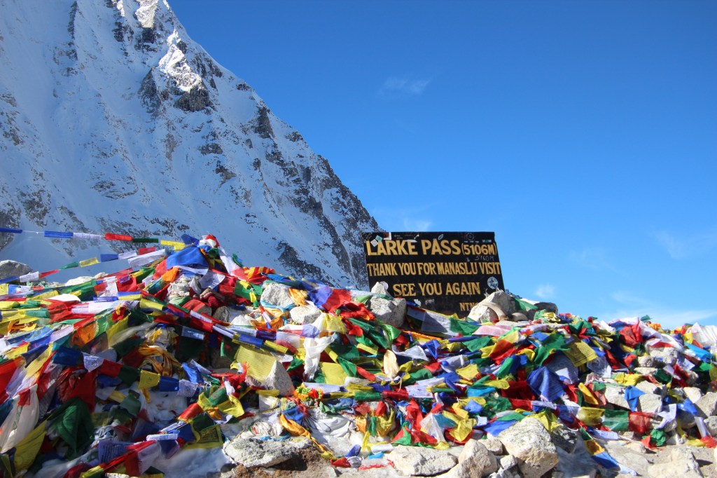
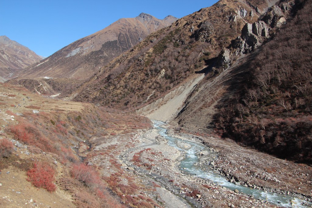
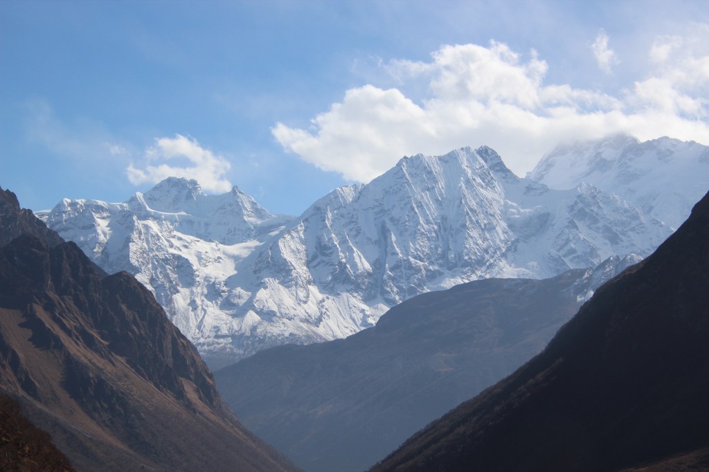
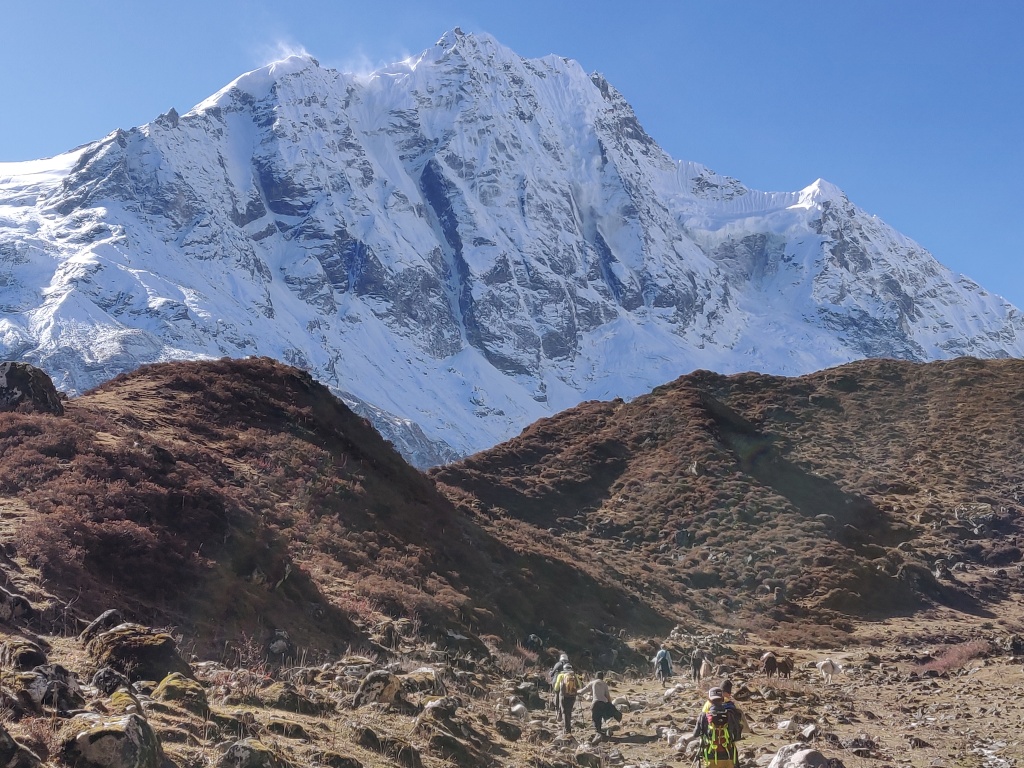
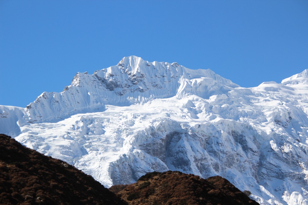
We still walked along the jeep road, but given that they weren’t plying beyond Taal, it gave some respite from dust. However, there was no respite from mud and it was very messy at many places along the route. It proved tough to negotiate these sections without having our boots soaked in mud. It required careful selection of stepping stones to avoid getting our shoes submerged. After exiting the tea house, the trail meandered around the local Dharapani town. I kept looking for our previous tea house amongst many that dotted both sides of the trail. Finally we came to the confluence of the Marshyang di and Dukhkhola (river of milk – in Nepali) rivers. The Manaslu circuit trail came down along the banks of DukhKhola to meet the Annapurna Circuit trail at Dharapani and there, along the banks of that confluence, I could identify the tea house! It almost felt like homecoming to me. I gave a glance at the serpentine route that went up along the banks of Dukhkhola. Hiking along that route would take one to Bimthang and beyond it, lay the rockfall zone, at the end of it lies Larkya La (5106m). After crossing it, one could enter the Gorkha district of Nepal – aka the Manaslu conservation area. Back in 2019, while heading down towards Besisahar in a jeep, I remember casting a glance along the Annapurna circuit trail thinking that someday, we’d ply that route and now in 2022, we were doing it! The old walking trail ran in parallel, on the other side of the river. It appeared as a small thread moving up the slopes (much higher than the road on which we were walking) of the hills on the other side. Many sections of it were damaged and blocked by debris of rocks and mud that came down the slopes probably during the rains in past few days. However, we could see moving dots of multiple colors along that thread. Some hikers did indeed prefer taking that route despite the odds of facing challenges. After sometime, the trail moved down a little and reached closer to the banks of the Marshyang di river. The valley too, widened. Few houses here and there and some farming fields indicated a new settlement. We reached Bagarchap.

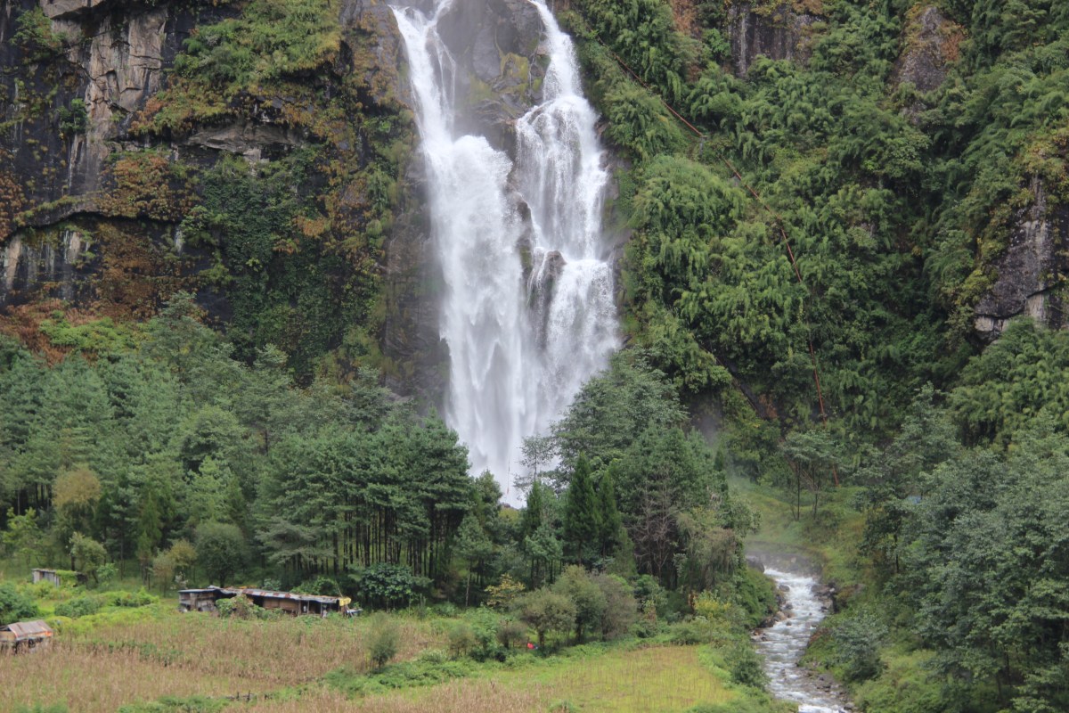
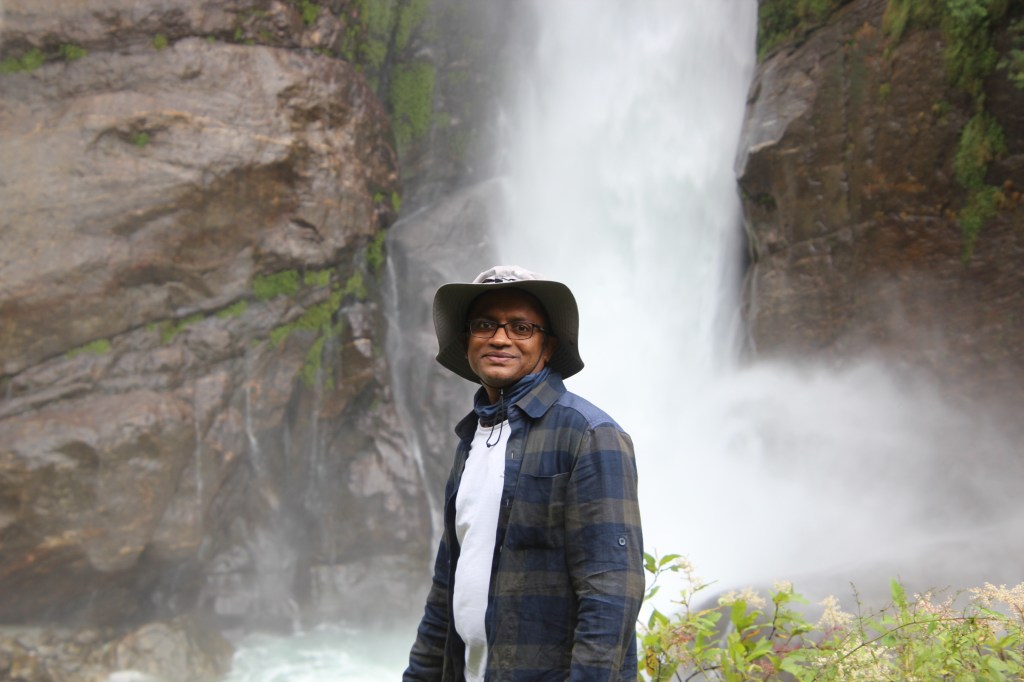
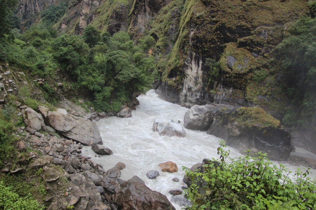
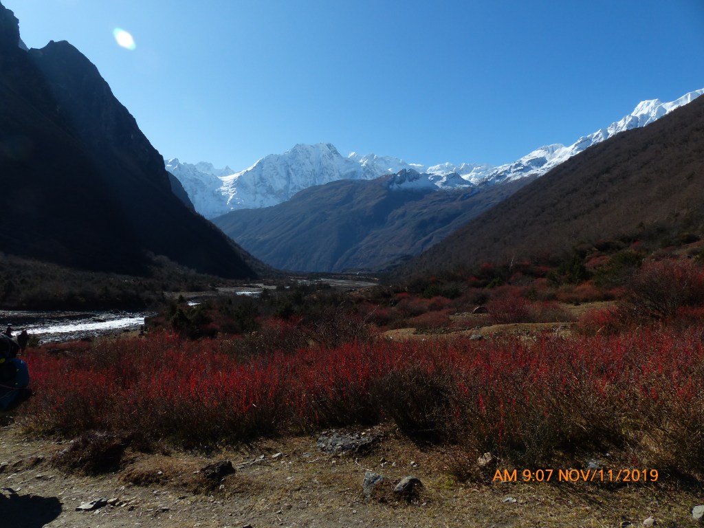
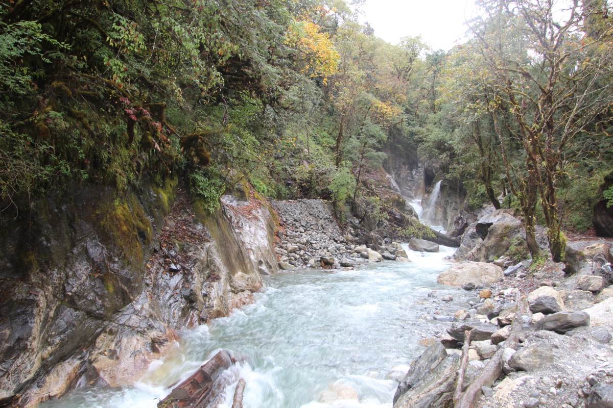
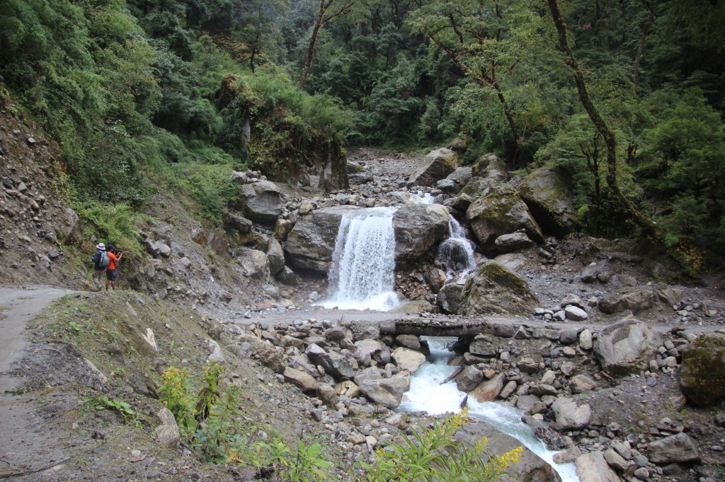
The river flowed through the valley with ferocity and the gloomy weather added to the mood. But the greenery around toned it down somewhat and we took time for photography at the place. After the valley, the road started moving up the slopes and at the turn, we had our first sight of apple trees in the area! It came as a surprise as we weren’t aware that Manang district (and so is Mustang, as we’d discover later) is one of the largest producers of apples in Nepal. After a few more bends, we reached a waterfall. Fortunately, this wasn’t sending down it’s torrents over the trail. Hence, we were able to enjoy its expanse.
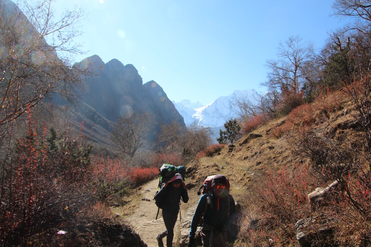
Beyond the waterfall, our guide asked us to leave the jeep road and take a winding trail up the slopes. It started with a series of steps. Apparently, that was a short route to cut the down the distance. We started moving up the stairs but bushes closed in around us. Though the moist environment added to the cool of the atmosphere, but it also added to the gloom. In my mind, I was constantly thinking about the potential delay we could face, if weather didn’t clear up. The walking trail goes via Thonche village and our initial plan was to have lunch at that village. The series of stairs moved up through the forest. Thanks to the tree cover, there wasn’t any dearth of Oxygen and hiking was comfortable. Nevertheless, we had our halts and kept fluids flowing into our bodies. After sometime, the trail intersected the jeep road once more where we came at a bend. The paved concrete road gave in under the barrage of boulders that were dumped on it from the upper slopes. A metallic bridge that once carried travelers over a seemingly innocent stream, now lay crooked and twisted bearing brunt of nature’s wrath. But as they say, life doesn’t stop and especially, the needs of locals in these areas force alternatives circumventing the conventional routes. We embarked on one of them and reached the other side to regain the road.

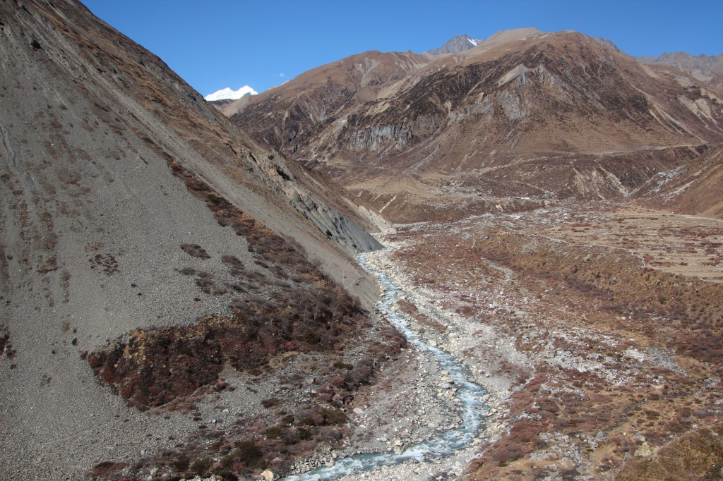
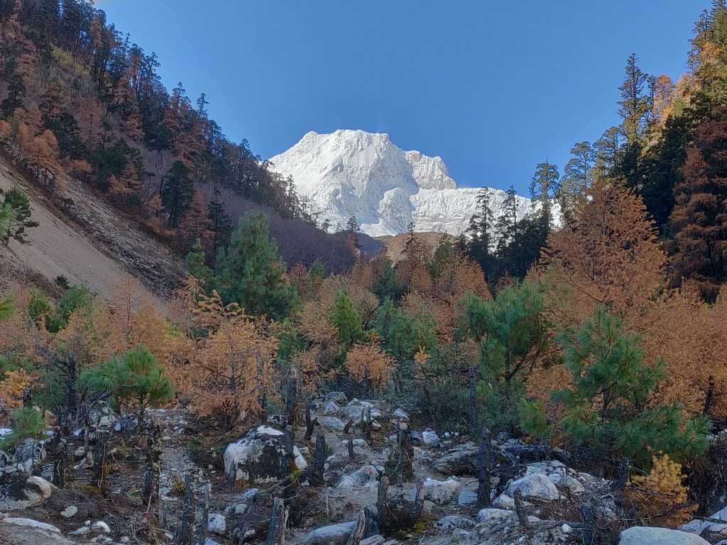
The fury of the streams in these lower areas are a testament of the amount of precipitation received in the upper reaches, which we were yet to reach. We kept moving on. We stayed on the jeep road for a few bends. After which, we left it again for another shortcut through the village of Thonche. As we hiked towards it, our guide asked if we wanted to have lunch. We had just walked for about three hours and it felt a bit too early for it. However, we asked if the porters wanted to halt for lunch. We learnt our lessons from our Manaslu trip. On that occasion too, on our way to Deng, our guides and porters requested to halt for an early lunch and we chose not to. That resulted in reaching the next available tea house at about 2 PM in the afternoon, which proved taxing for our porters. We didn’t want to repeat that mistake on this occasion. After confirming that the next halt wasn’t more than an hour or so and more importantly, the porters were fine continuing, we chose to give a short halt at Thonche to have some tea.

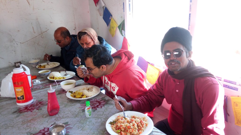
Niladri and Dhananjoy resumed their business of preparing tea (using tea bags that they carried in their backpacks) with the help of hot water in the flaks that we were carrying. After tea, we popped mango bites into our mouths and resumed hiking up the trail. We finally reached Timang at around 12 PM. We headed for the first tea house we encountered in the village and settled in the dining room. It was crowded with a lot of trekkers, guides and porters. Though we ordered our “dal bhats” as soon as we reached, it took a long time to get them served. While we waited for lunch to arrive, I looked around the dining space. There were many groups sitting around. Some in the process of having their lunches, some awaiting them. Tea houses in these trails have people coming from different parts of the world. Many languages can be heard. The cuisines served at these tea houses match the number of languages too, which is amazing! I watched outside and saw that a drizzle had already started. While I wasn’t feeling during my walk, but now I started feeling cold. I realized, I didn’t have any warm wear in my backpack. The only thing that was present, was a raincoat. I was a tad worried about that. However, as our lunch got served, we dived in. After lunch, we all slipped under our raincoats. The cameras and mobile phones went into our backpacks as we didn’t see any possibility of taking any photographs as the drizzle converted to moderate rain. Walking turned uncomfortable but we had to continue. Chame was at least another couple of hours away. The trail was already muddy at many places and it became murkier now with the steady rain. Vapors gathered on my glasses and I had to repeatedly clean them, causing halts to increase. Our steps had to be careful to avoid slips and dips into the mud. However, we got used to it and kept plying.
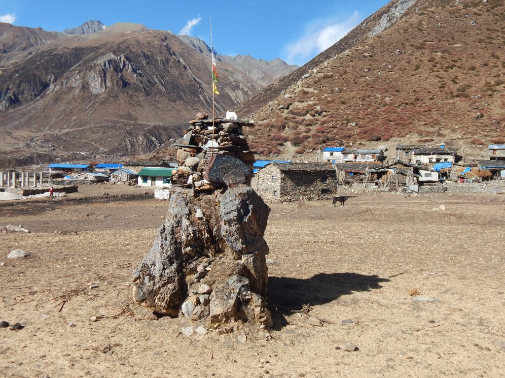
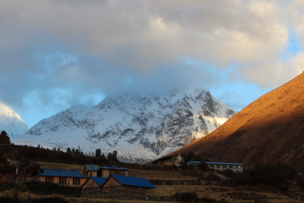
After an hour or so, we saw a few huts and to our relief, the main gateway appeared after a bend. Every village or town in these areas contains a main gate at its entry with a set of Tibetan prayer wheels to our right. We always entered through these gates spinning the wheels on our way. Chame appeared to be a big town with many tea houses and some government offices and check posts. We made our way through the lanes to our destined tea house. We were allotted a three bedded room on the first floor. While one of our porters had arrived, the other was yet to reach. That meant me and Niladri having to wait for our main bags to arrive. After they arrived, we could have access to dry and warm clothes. Dhananjoy headed for hot shower immediately, but we couldn’t muster enough energy for it. After settling in, we called our respective homes through Wi-Fi to inform our safe arrival. We had tea and snacks as we recounted our experience of the first full day of trekking. There isn’t much to do in the tea houses in the evening apart from sitting at the dining hall to wait dinner. So, we headed to the dining space which was buzzing with trekkers from different countries. There was a fireplace and people gathered around it to get much needed warmth. We fetched our wet outfits (socks, sweat shirts and other stuff) and hung them on chairs scattered around the fireplace with hopes of drying them up. While we sat at the place, we had conversations with other groups. Some were headed just for the Annapurna circuit, others had Tilicho lake in their itinerary too. Some of them planned to spend extra days in different villages on their way down from Muktinath. There are some beautiful places like Kagbeni, Marpha, Tatopani and others on that route, but it all depends on the number of days in your itinerary. It turned out, some of the trekkers were students from European countries and they’ve taken breaks from their studies to explore different places in the world. There were many people from Germany, some from Norway and other Scandinavian nations. We had our dinner with noodle soups and headed for our rooms. We were sleeping at 2650m. Another night at another tea house. The next day was to take us to Upper Pisang which is slightly beyond sub-tropical zone. It should take us approximately the same time as it took for Chame (at least that’s what our guide told us). Hence, the start time would remain the same (i.e. at around 7.30 AM).