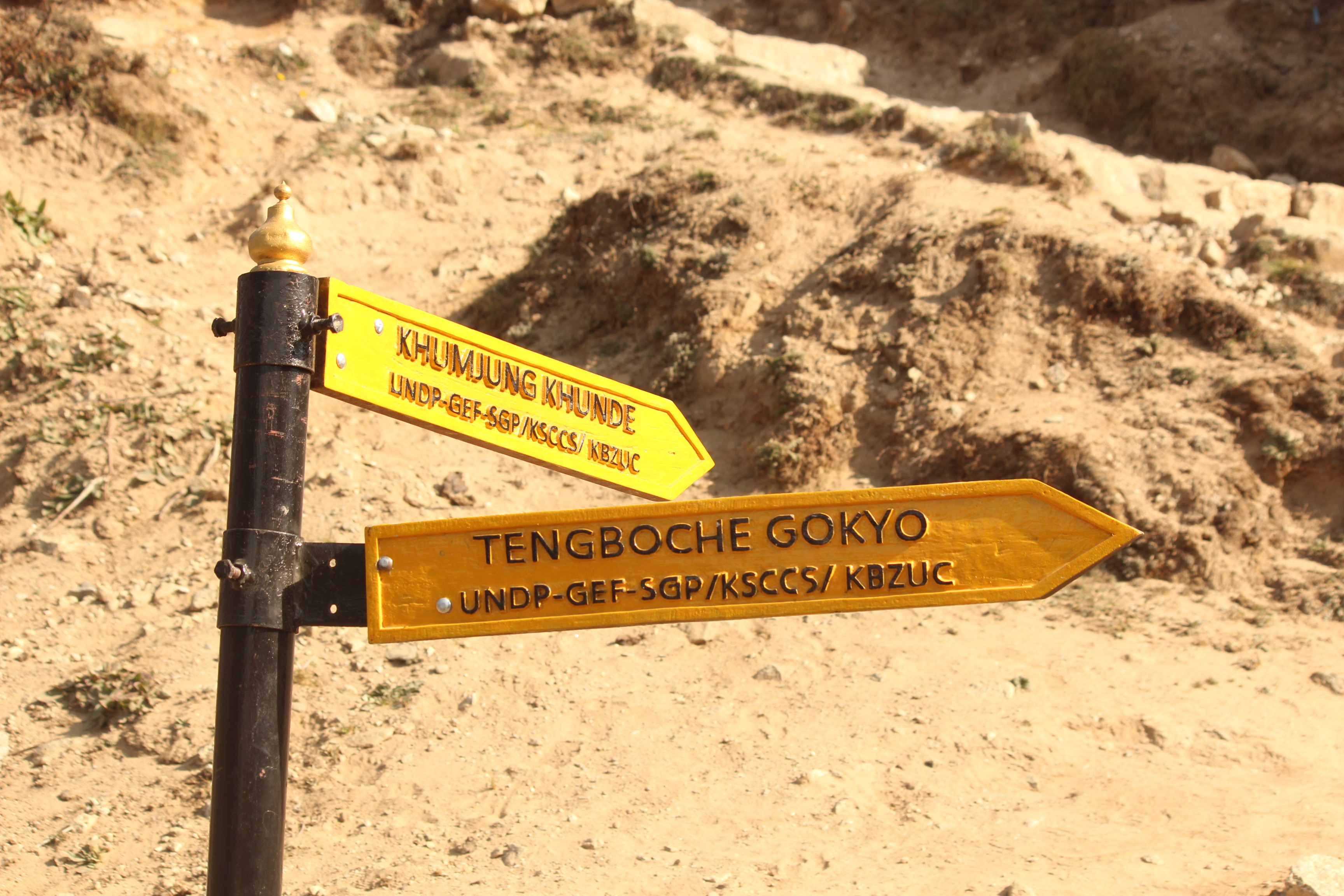
Up the slopes, Tengboche and Dingboche
6th May, 2016
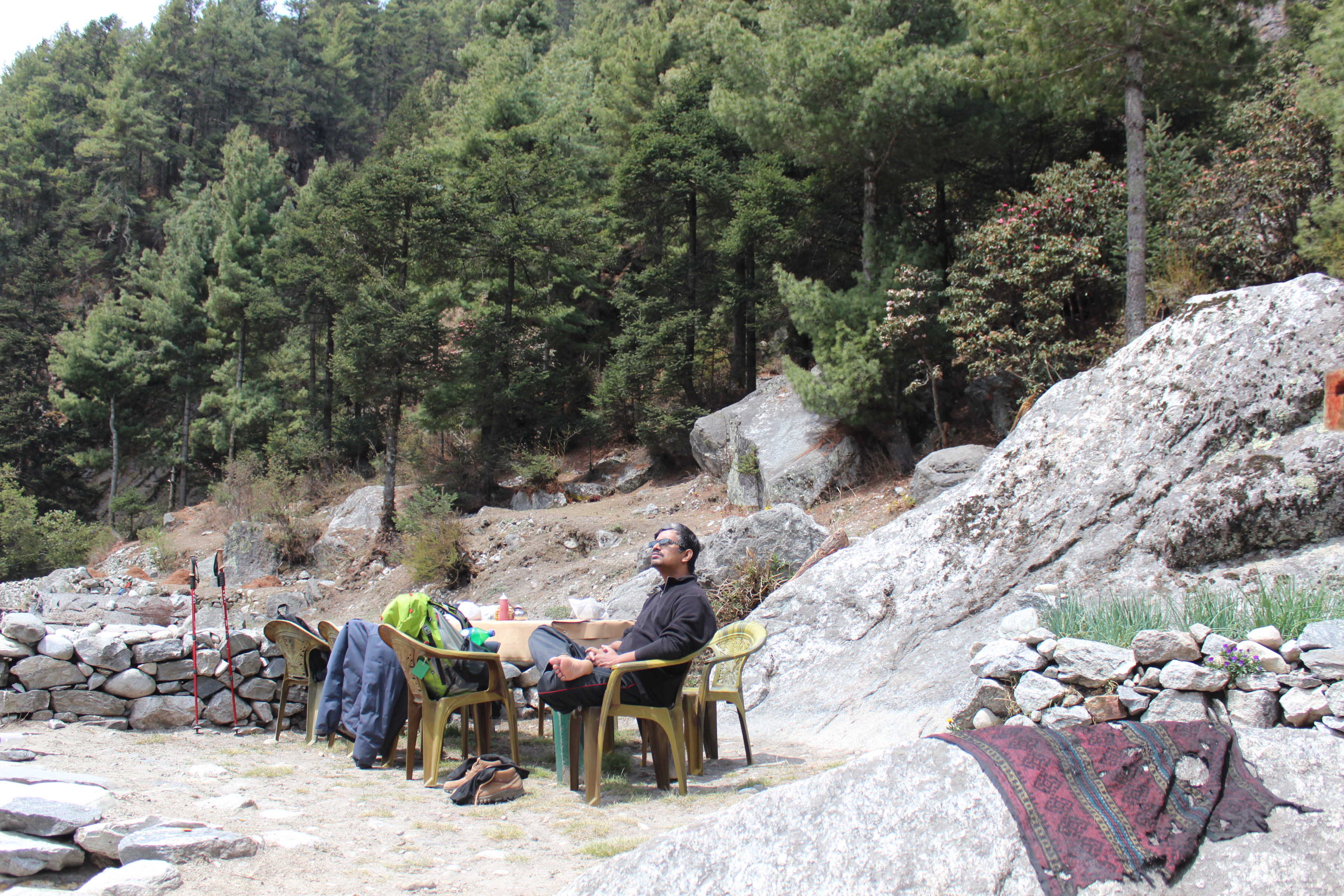
So far, sleep hasn’t eluded me. Though it wasn’t proportionate to the daily exhaustion we were going through, but was good enough to keep us fresh (at least in my case). Next morning, the sky was clear. The peaks, however, slid behind the clouds but they appeared to be innocuous and gave us hope of clearing up by the day. We stuck to our plan to skip the acclimatization day at Dingboche. Dhananjoy’s knees were behaving properly (he had a fall in the afternoon of our 2nd day of stay at Namche which caused a sprain). Given that the health parameters seemed reasonable, we decided to ply on and the rest day, if required, could be taken at higher altitudes. Else, we stand to gain a day which might prove helpful for our return flight from Lukla (even that proved to be insufficient, but that’s a story to be told later).
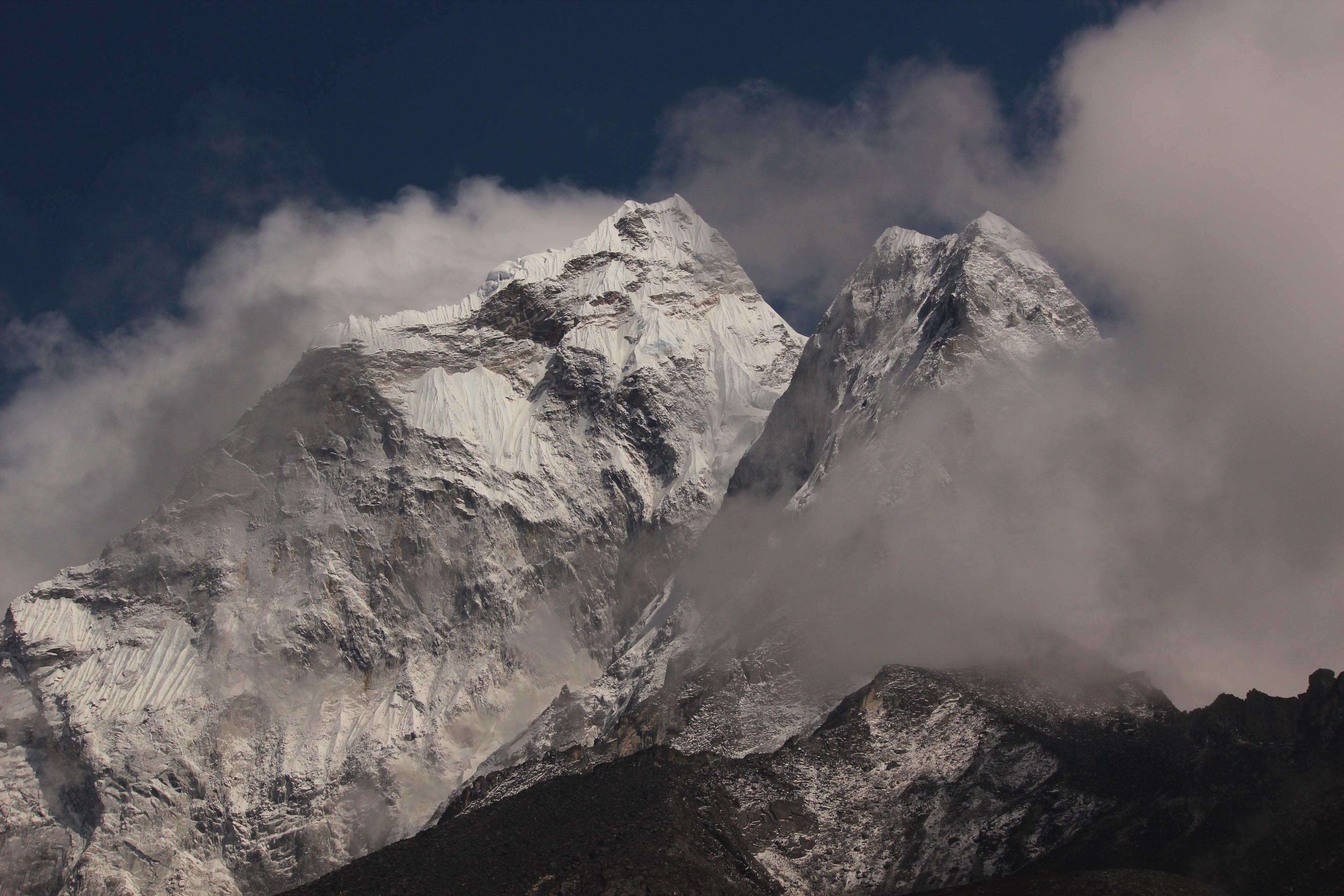
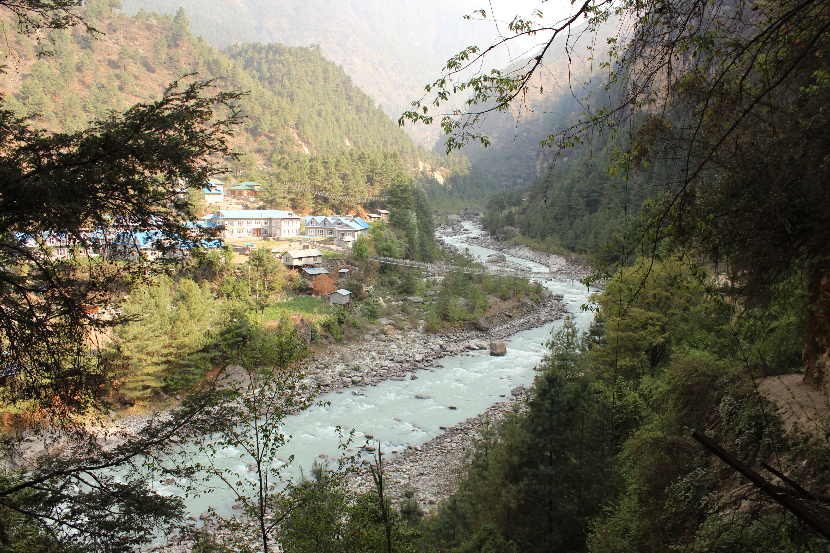
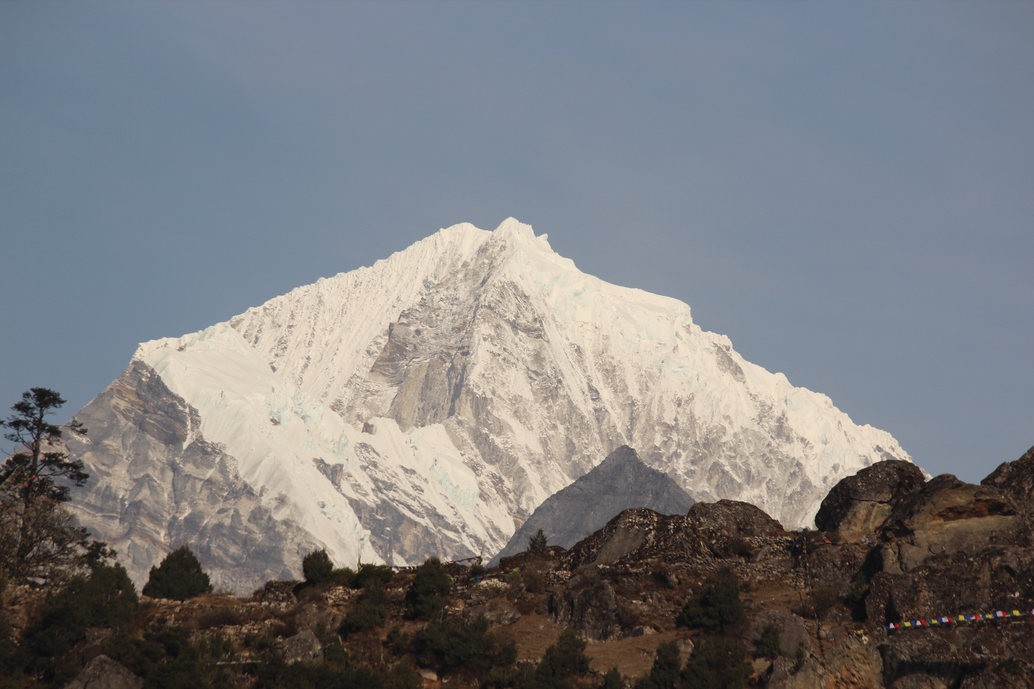
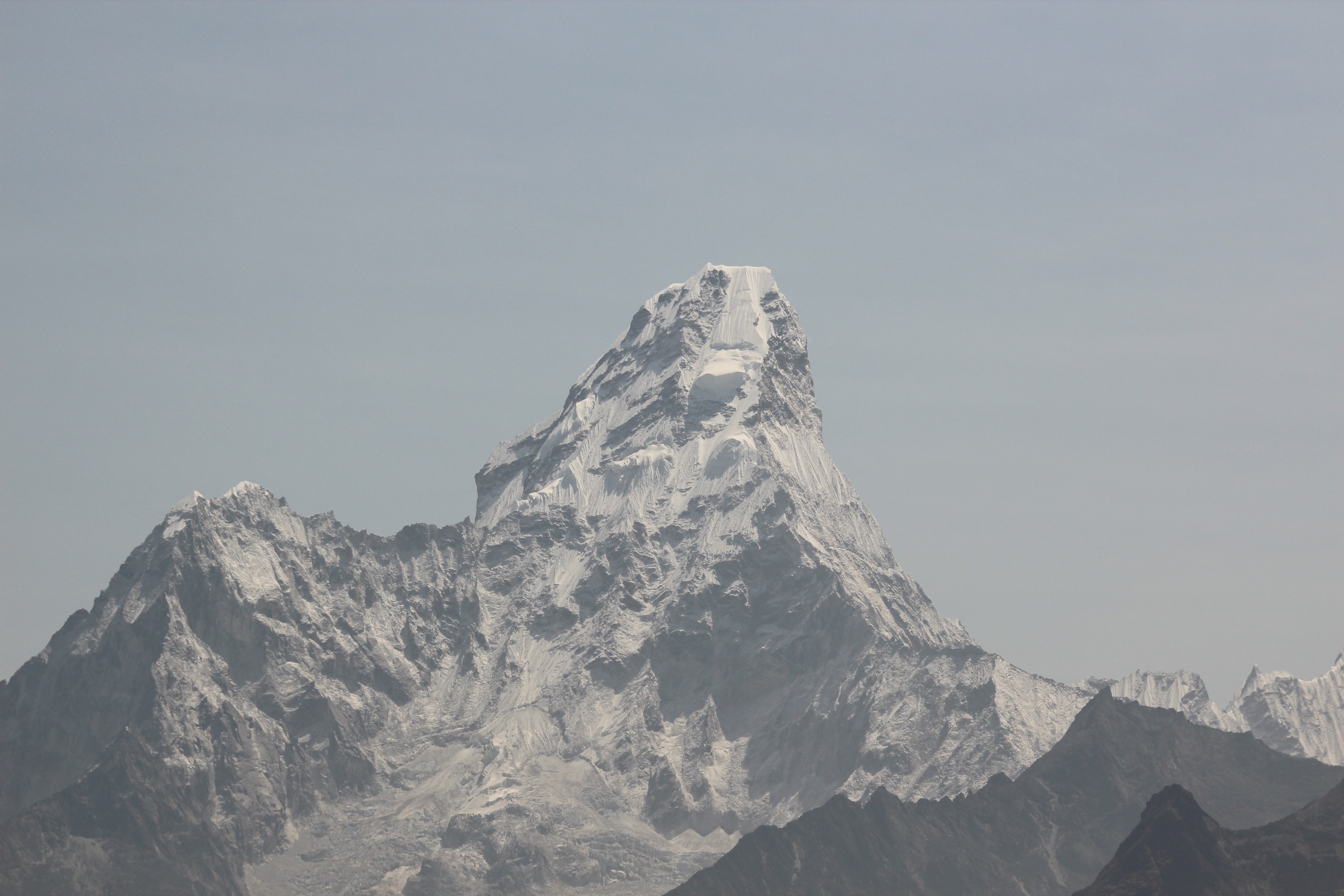
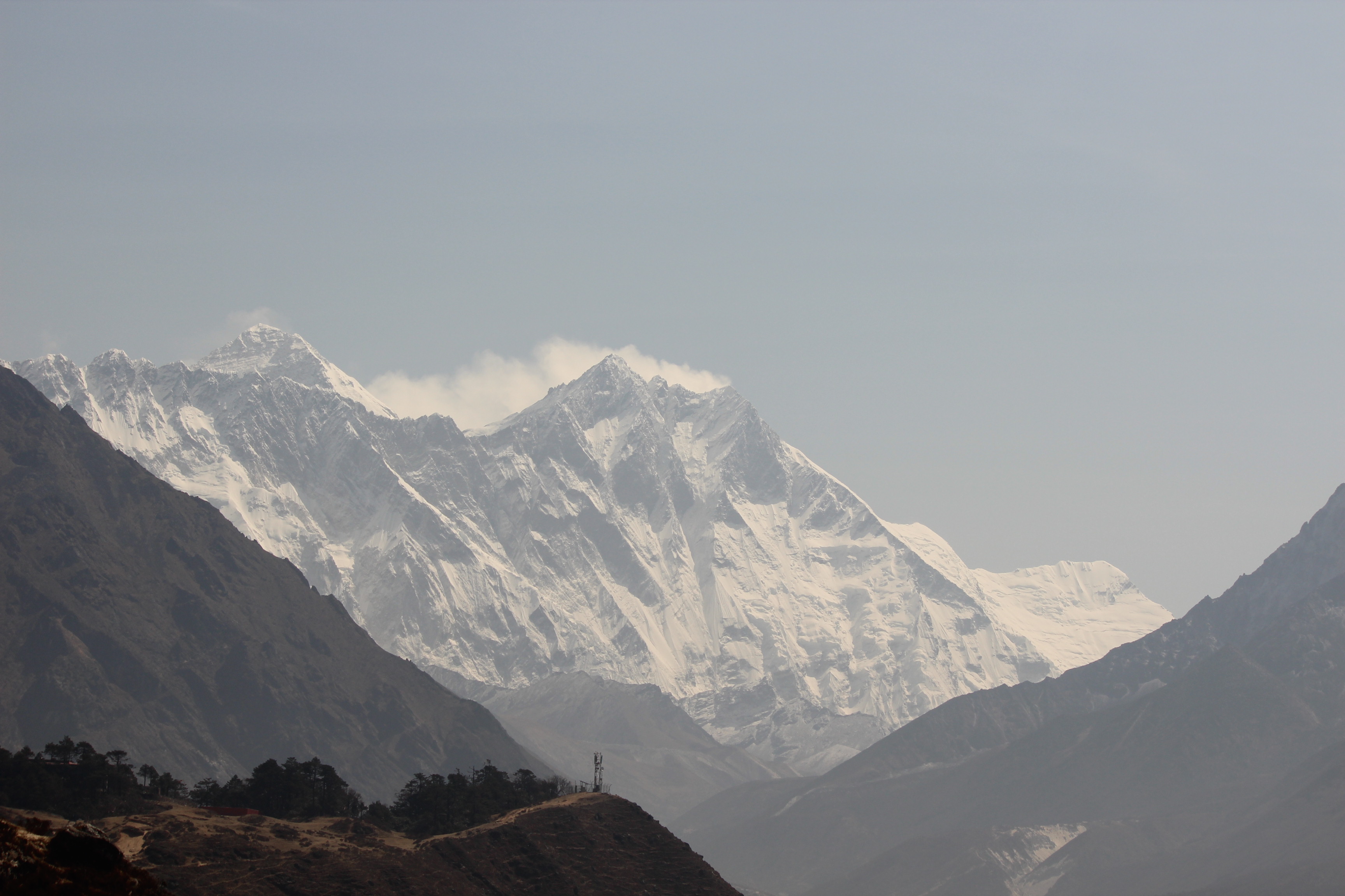
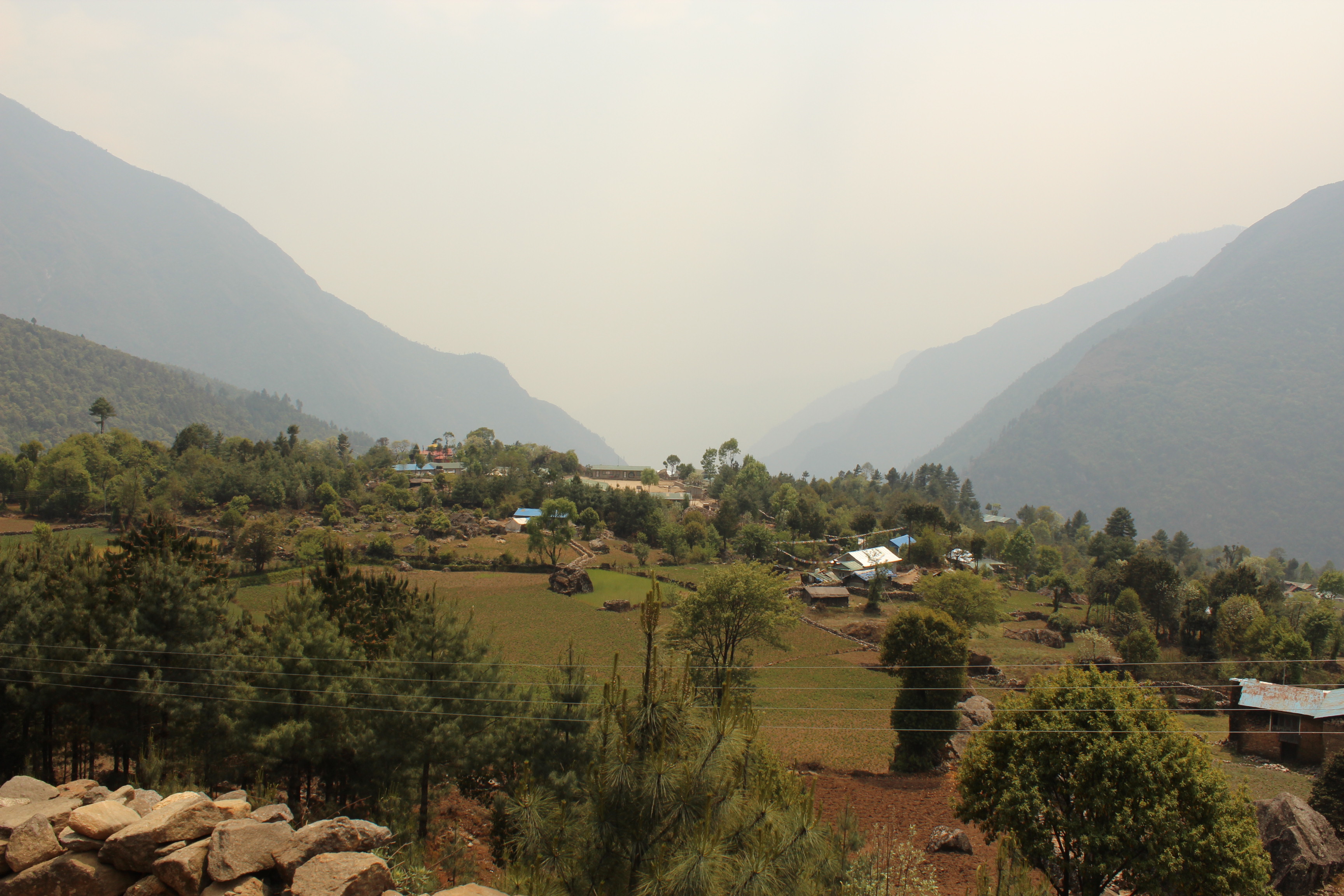
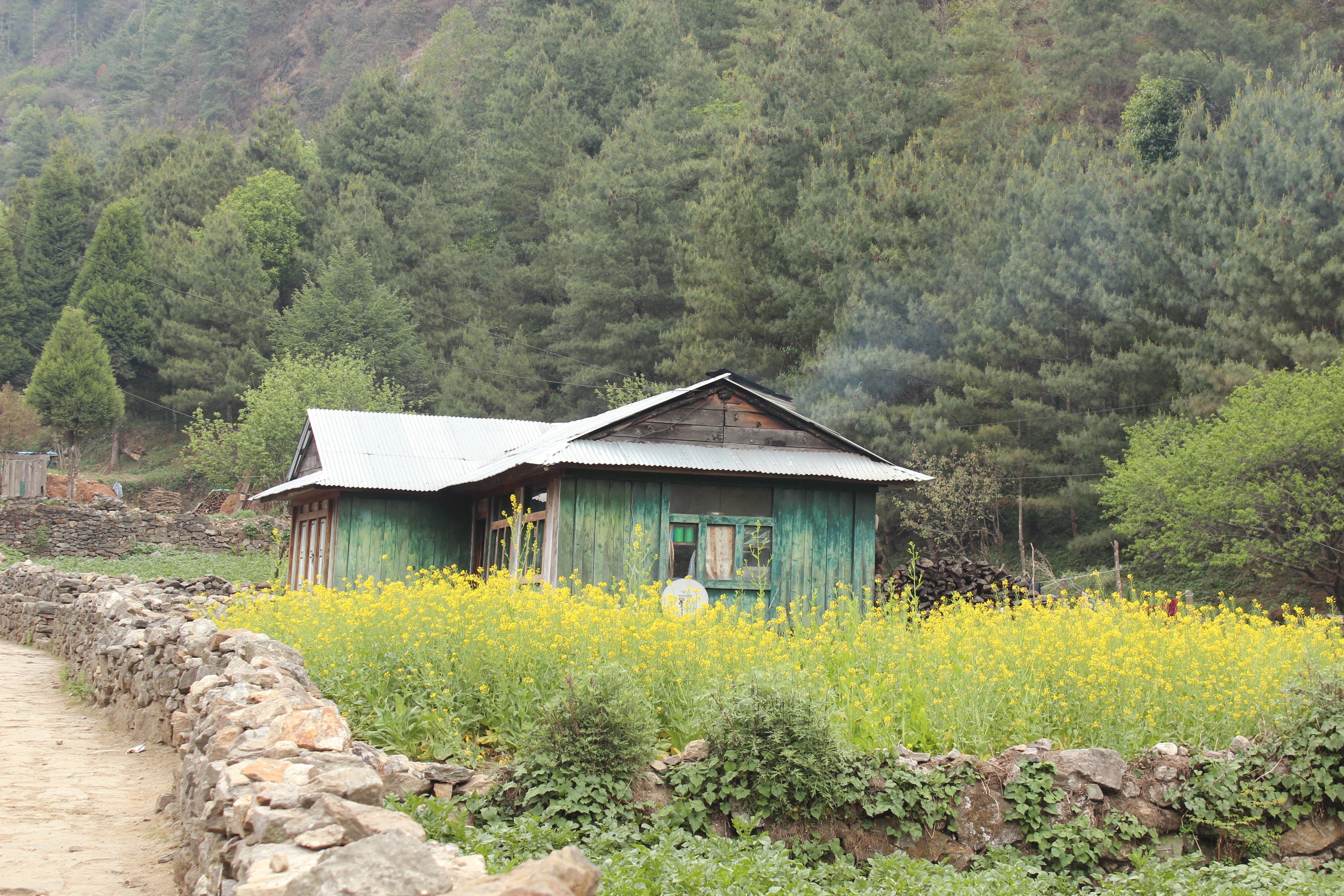
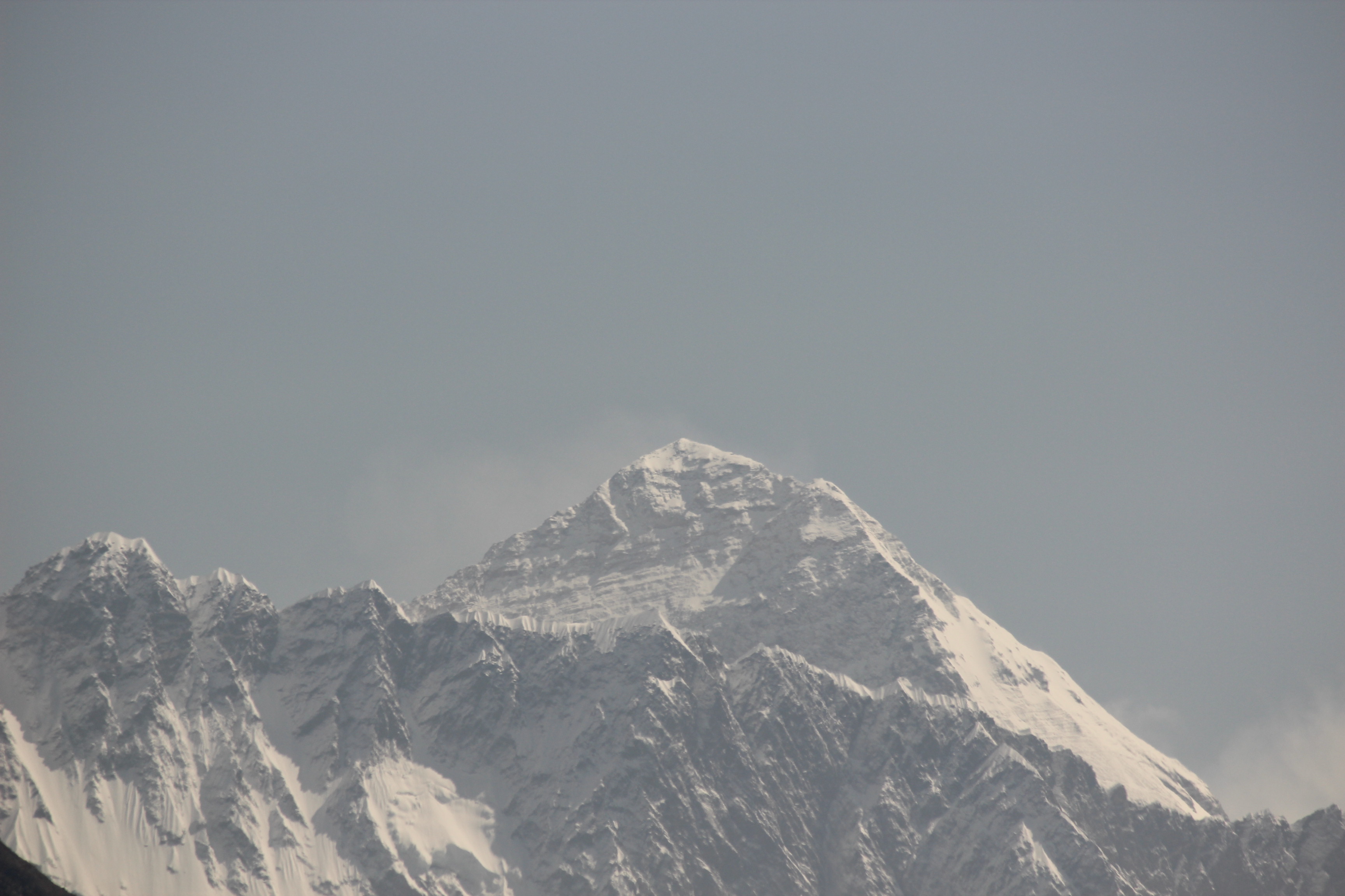
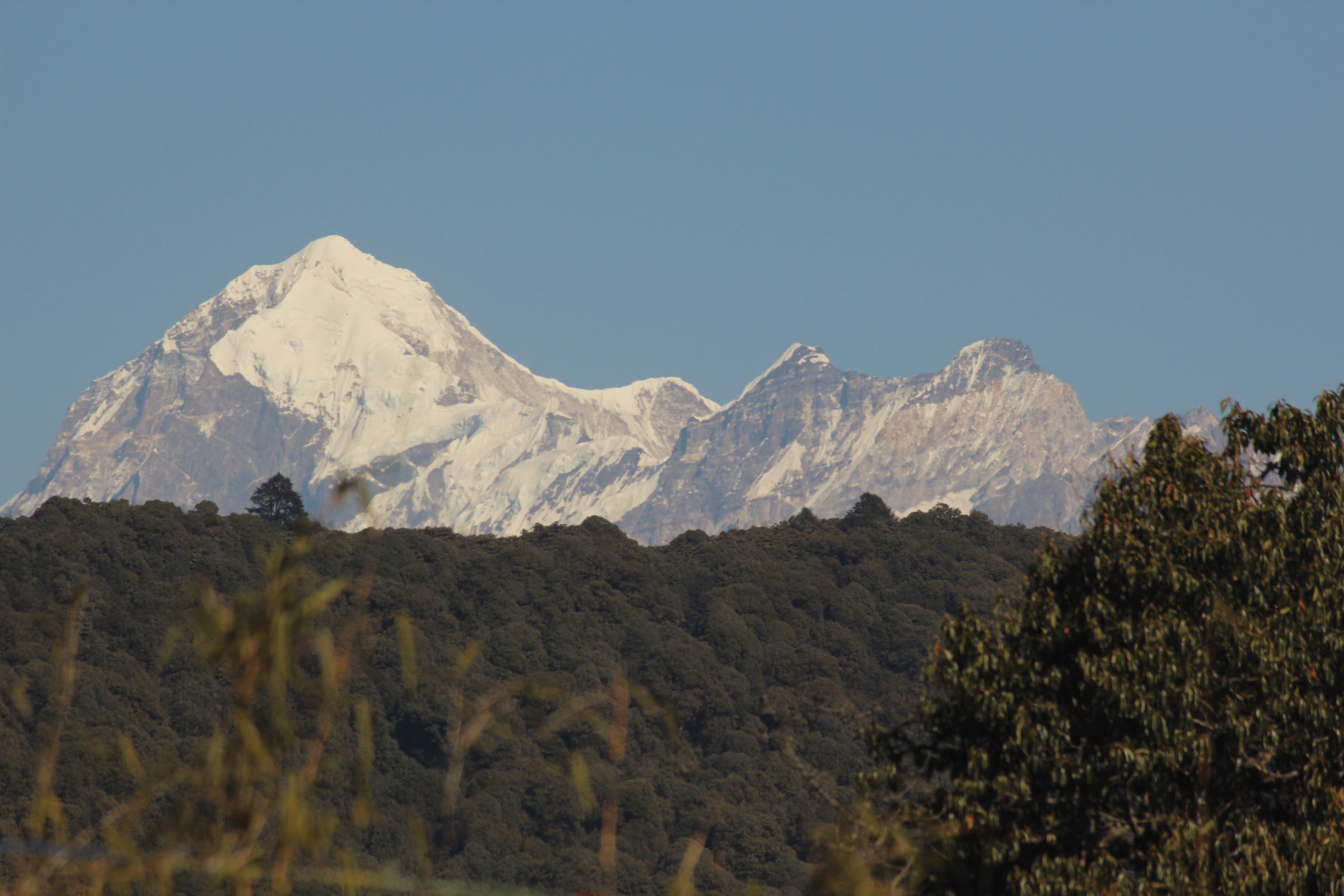
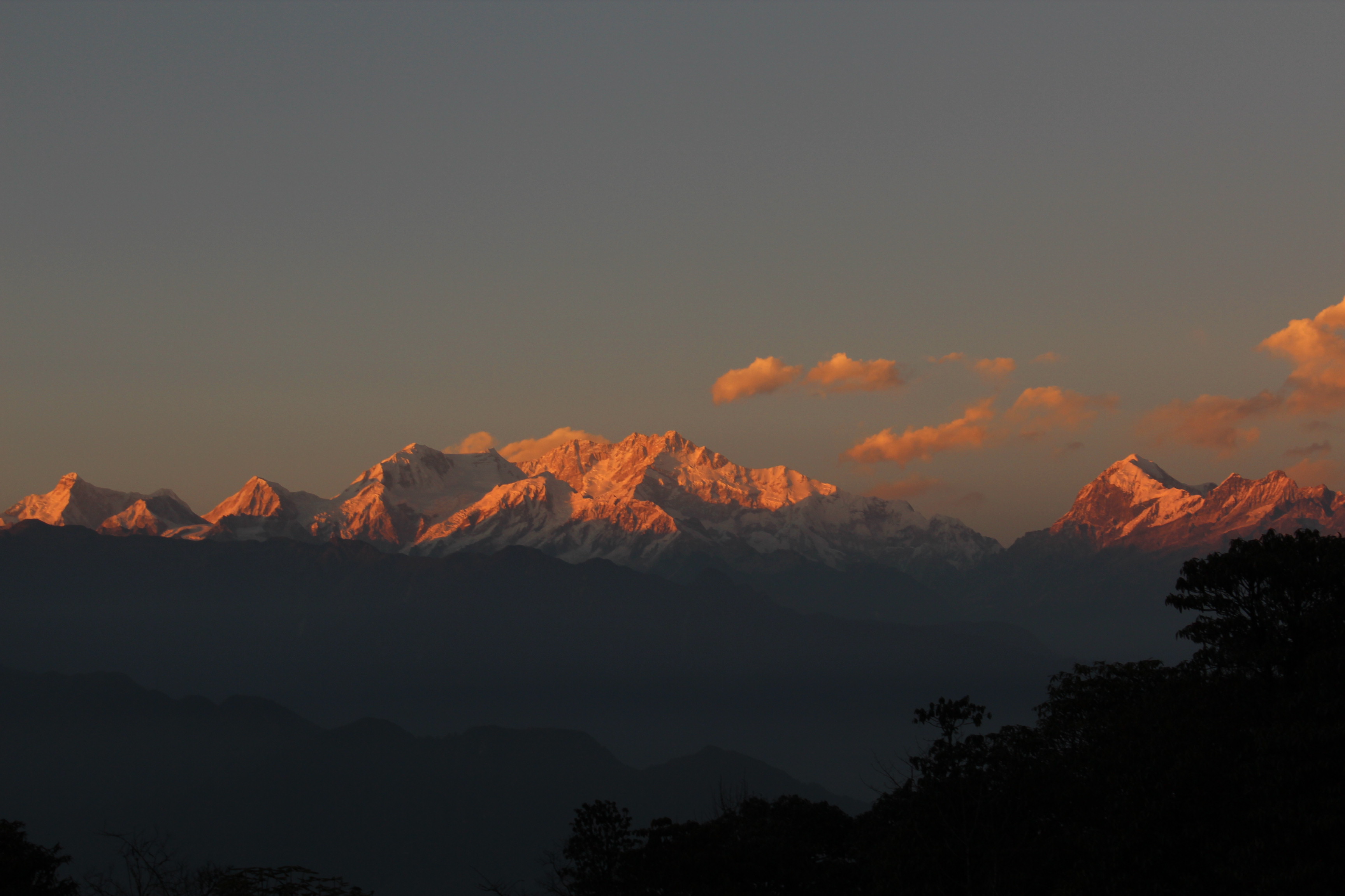
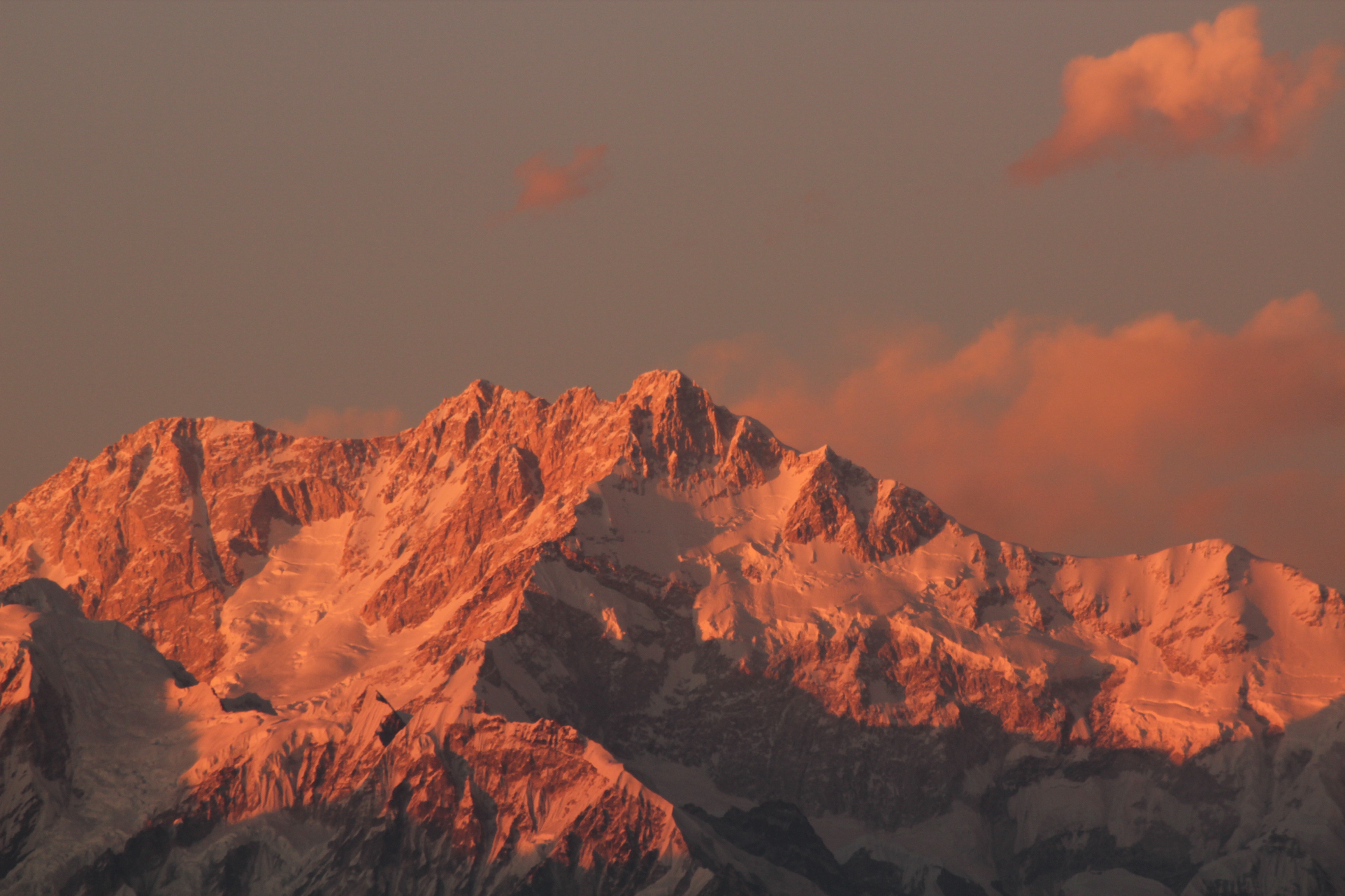
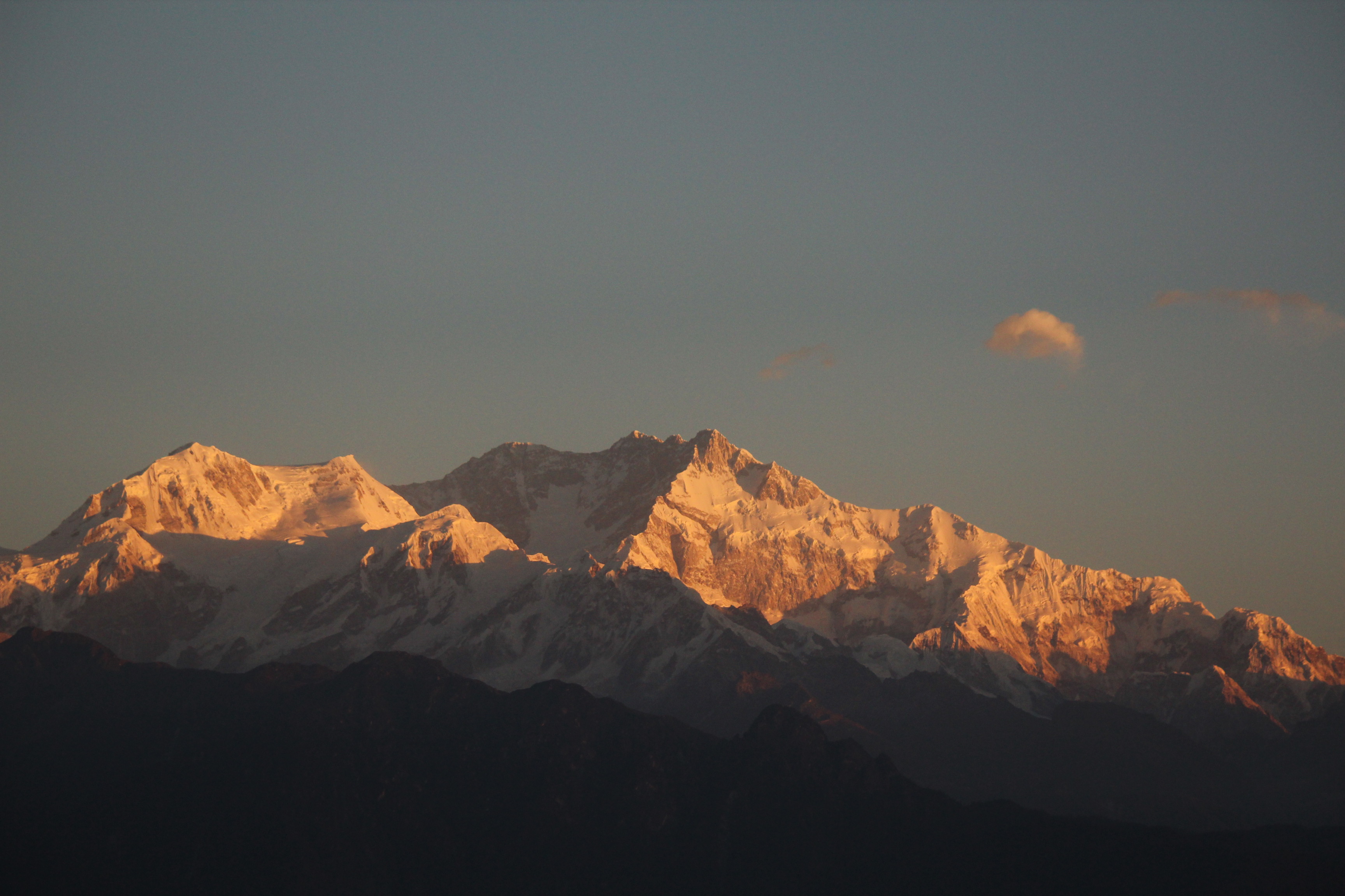
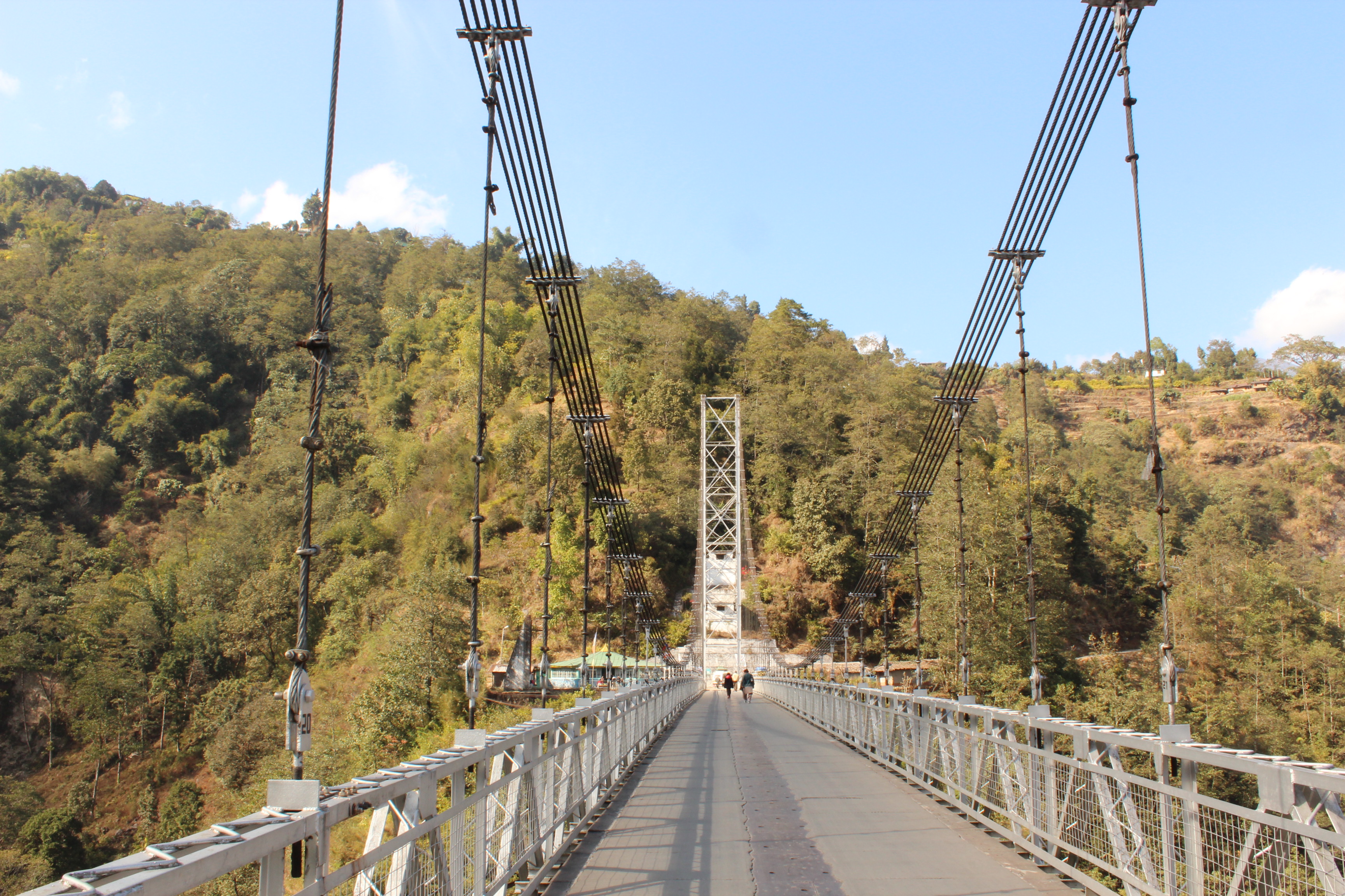
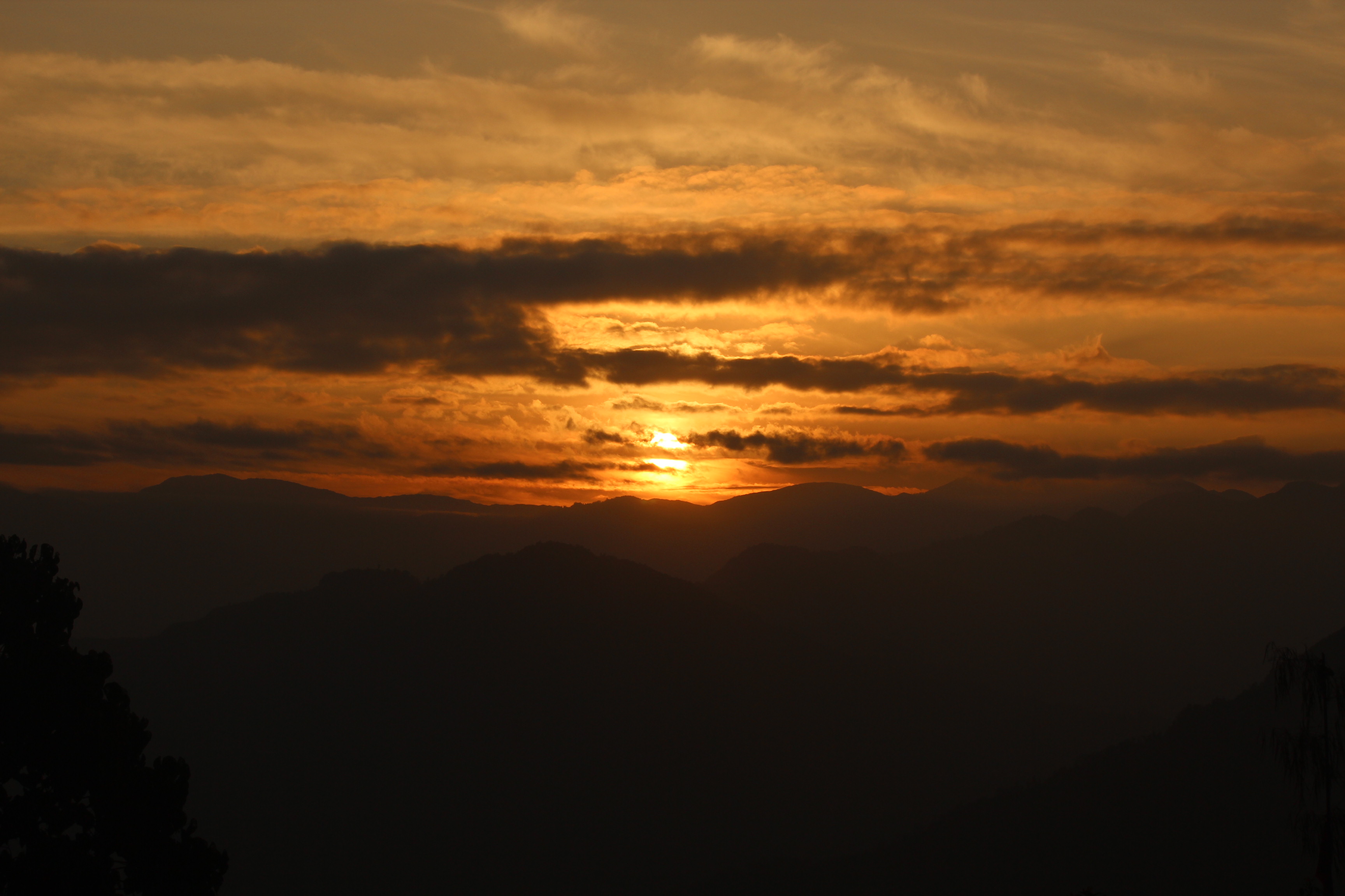
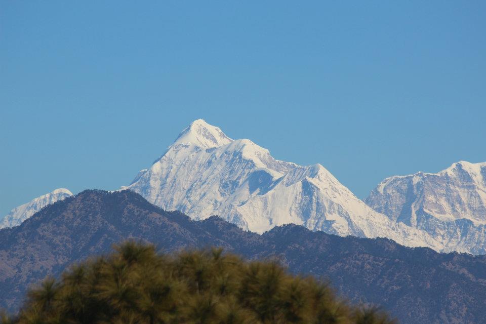
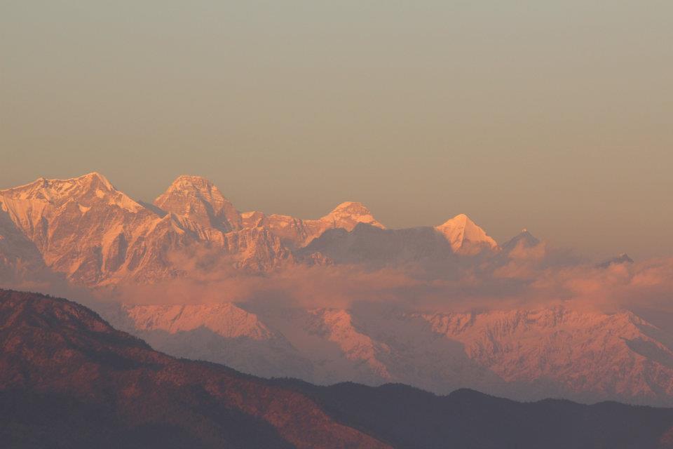
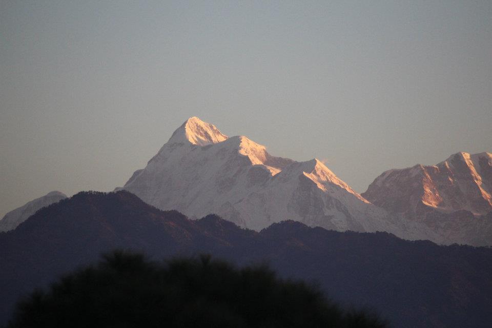
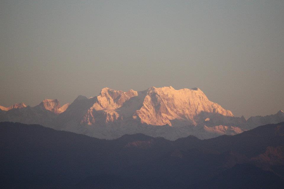
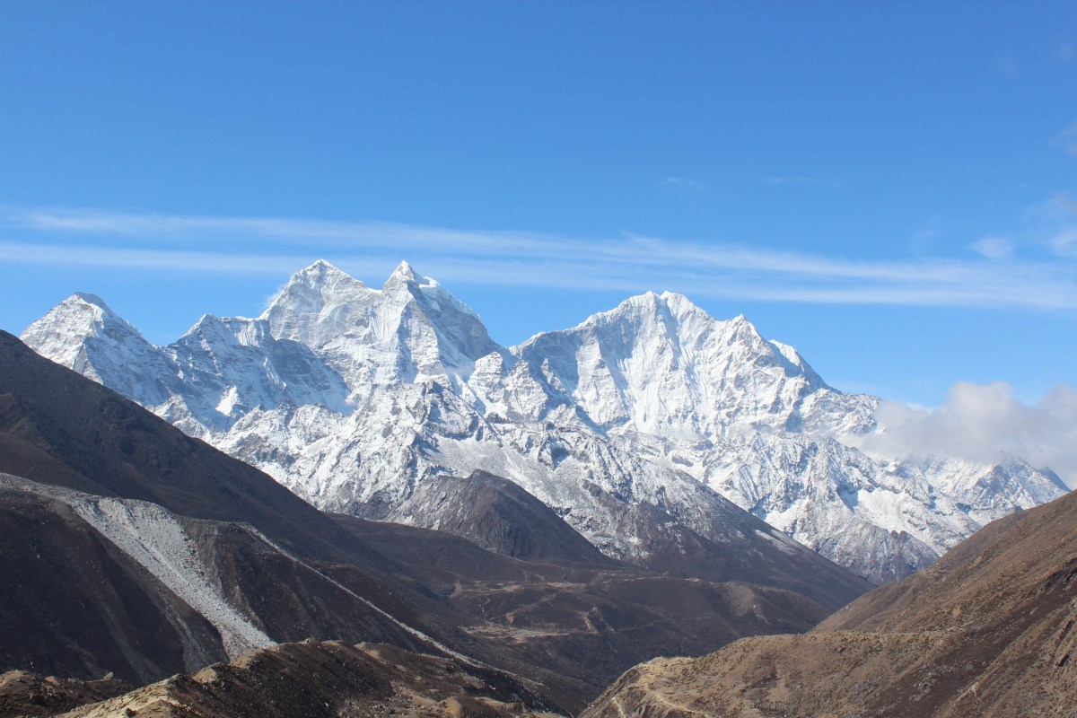
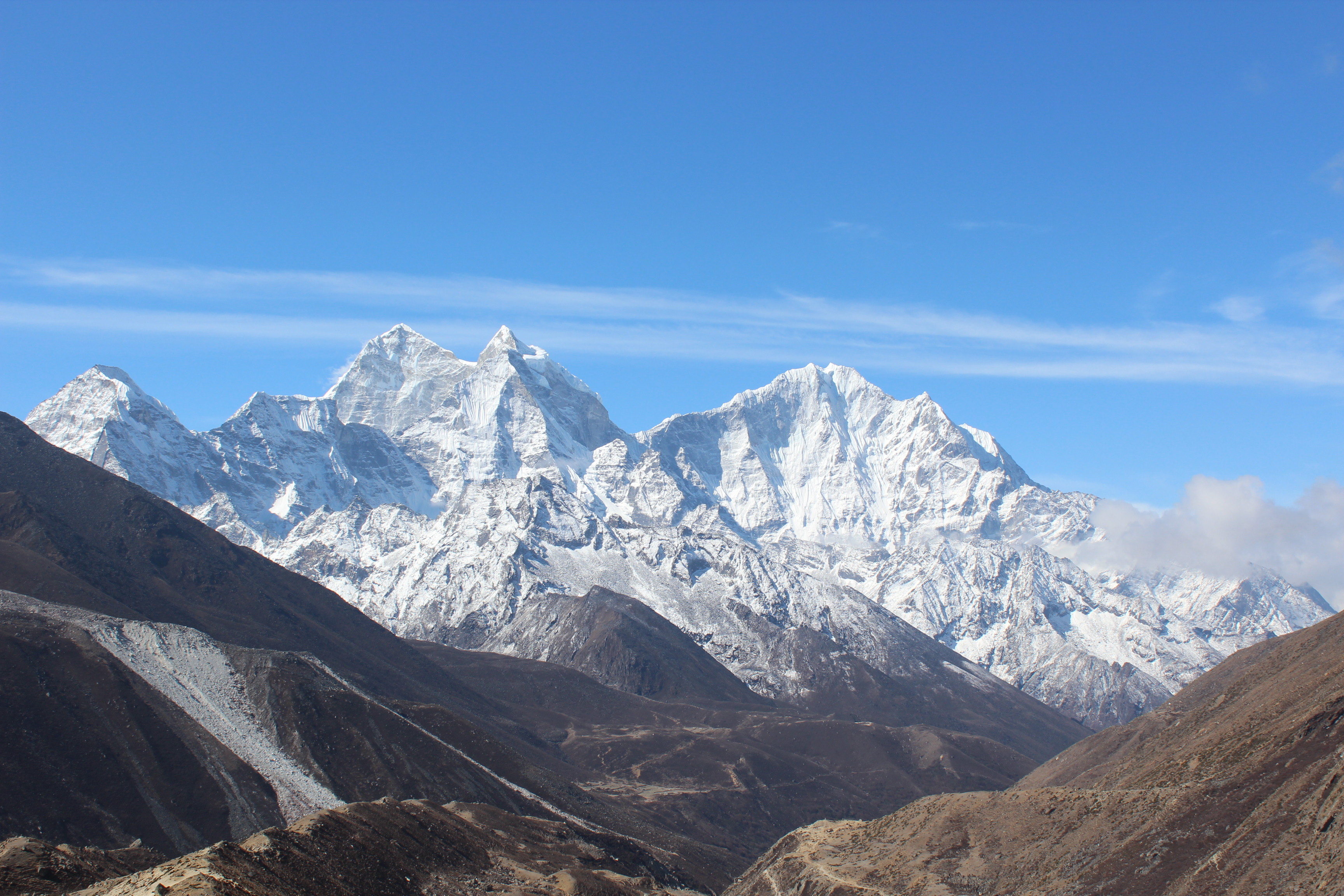
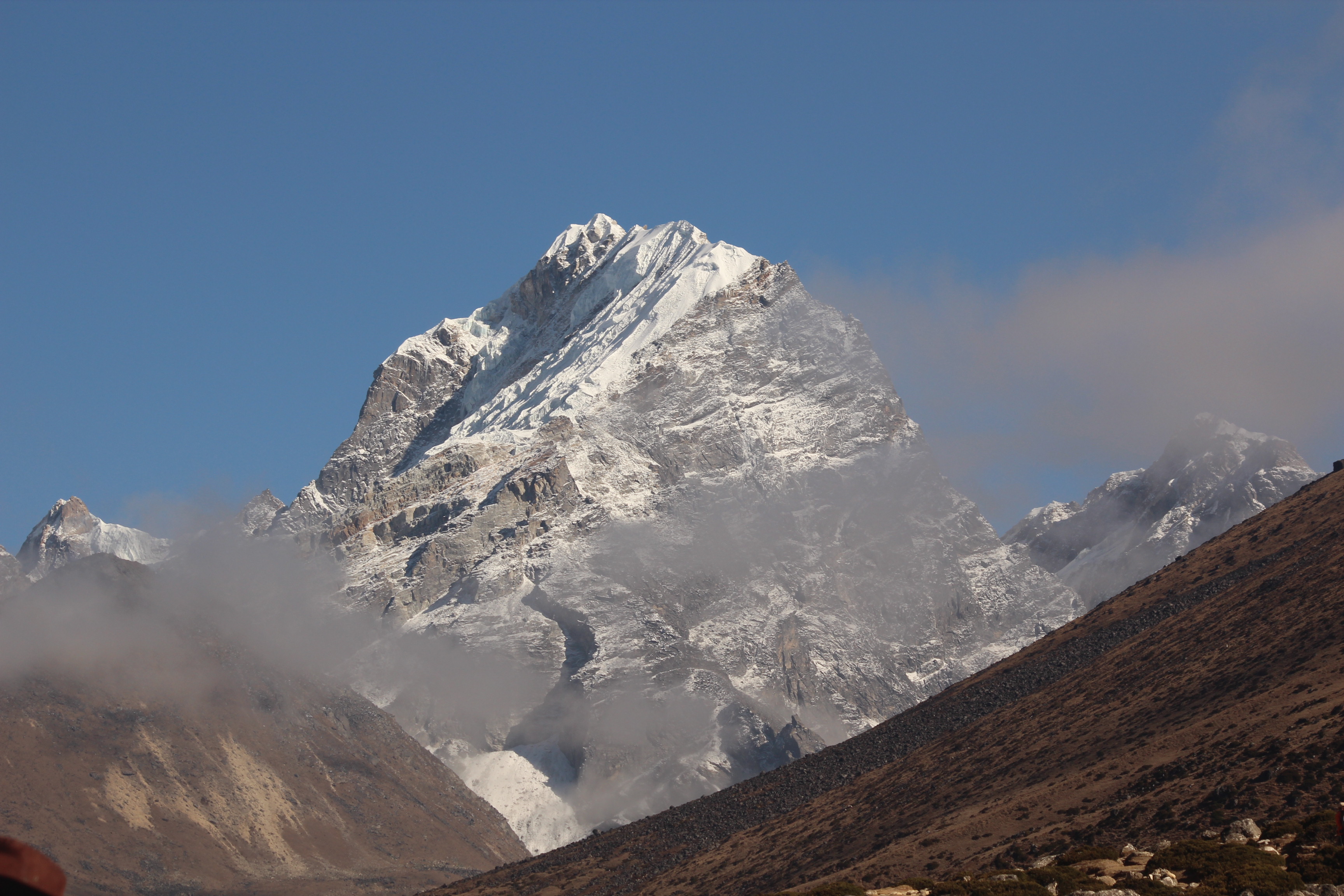
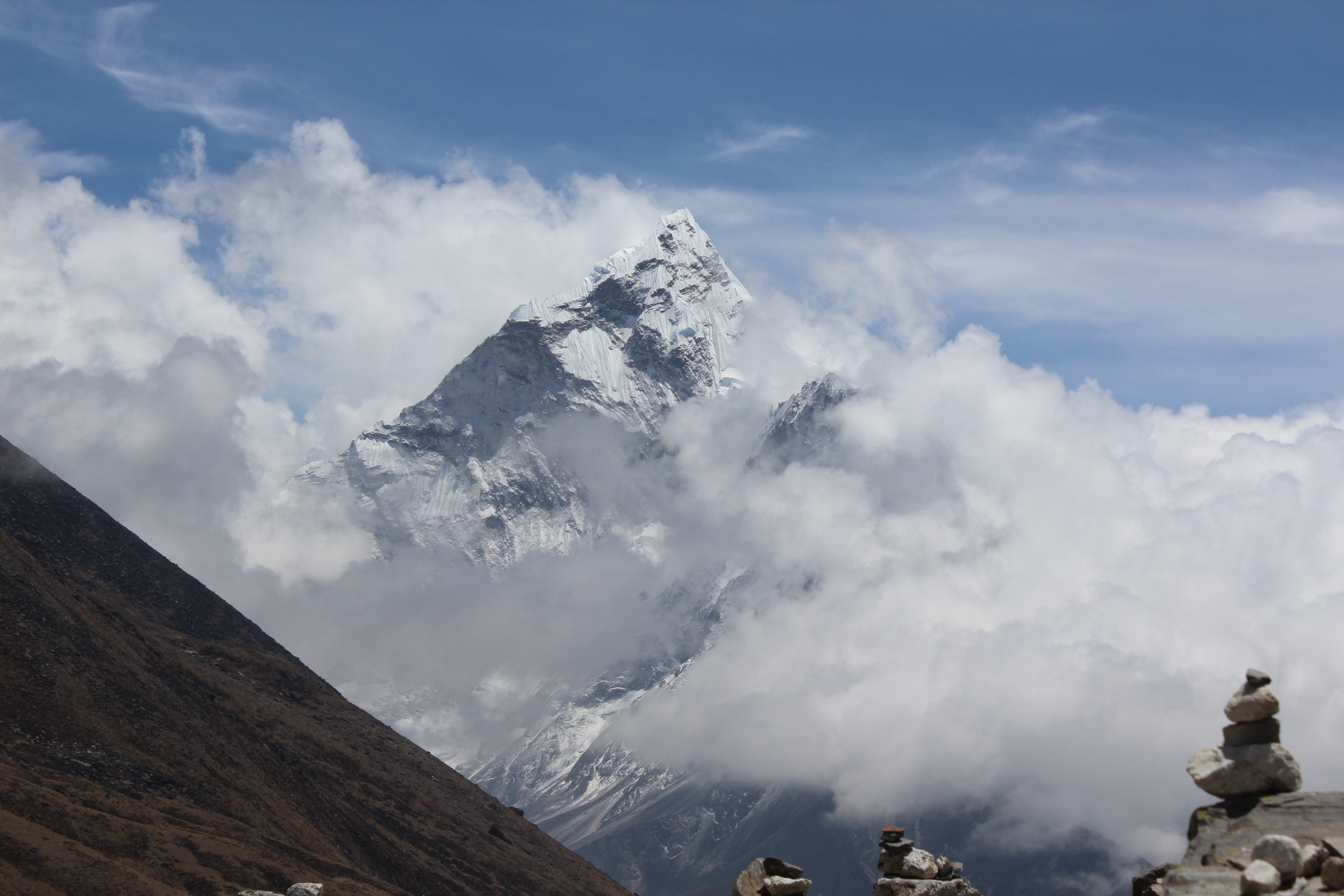
We’ve already spent five days on the trail and Mt Everest was still elusive except a small appearance from behind the Nhuptse wall which we were blessed with from the lawn of Everest View hotel at Namche. That was three days ago. We won’t get to see even an inch of it again till we reach Kalapathhar. Not even from the base camp. That’s the irony of this trek. In spite of its name, the least visible peak on this trail in Everest itself. However, given the views we were presented with, we couldn’t have complained. After completing the daily natural rituals of the morning and breakfast, we strapped our back packs and got ready to embark for Lobuche, our destination for the day. The route gradually moved up from the village of Dingboche climbing the nearby hill and then took a turn around the corner. As we looked upon Dingboche, which was spread out below, nature started to pull up the curtains. As clouds cleared, the twin peaks of Ama Dablam (that’s how it appeared from Dingboche, which was distinctively different from how it appeared from Namche) expressed themselves before us. Boy, what a view! That’s what you come for in this distant land. That’s what makes the Himalayas so different from any other mountain range of the world.
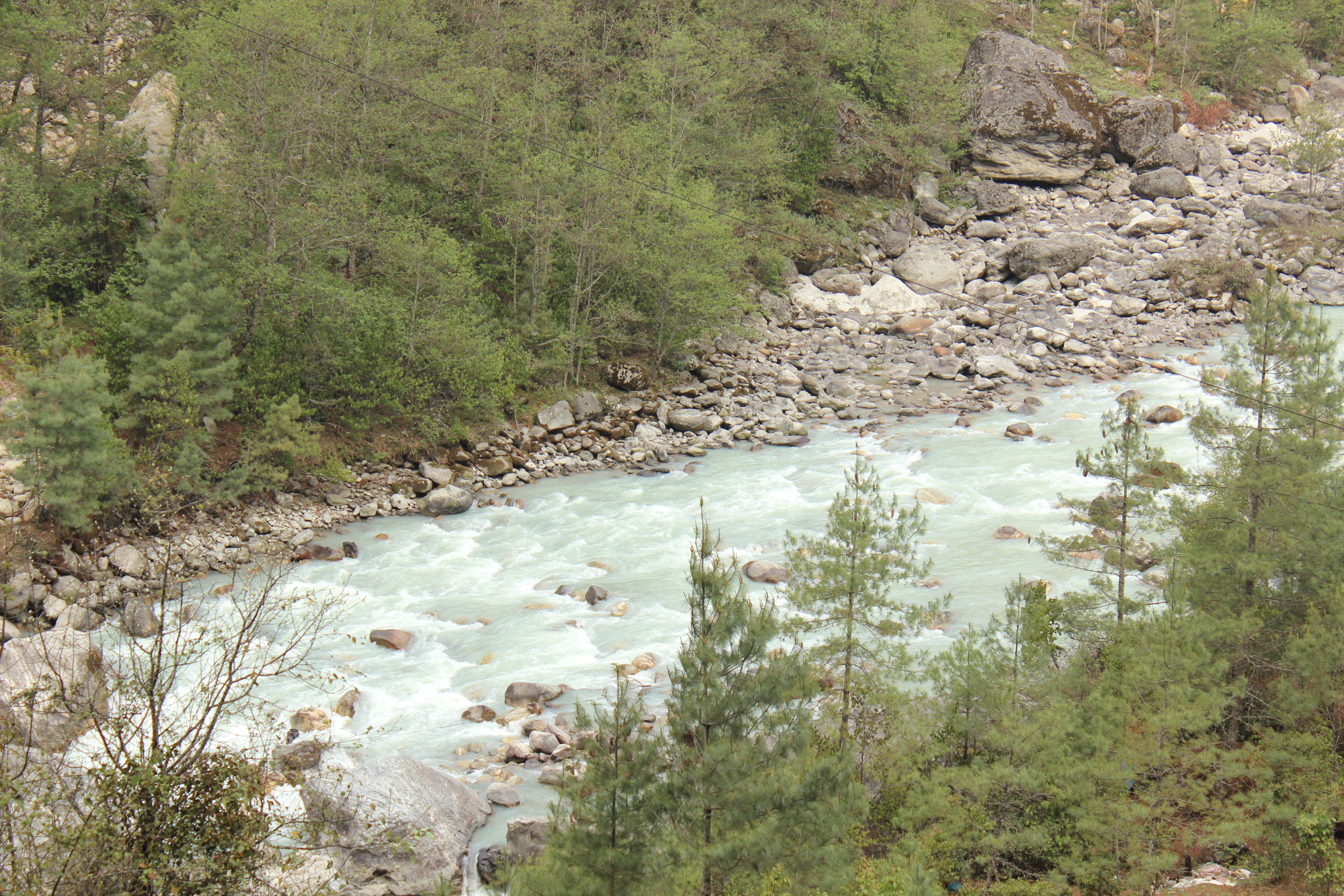
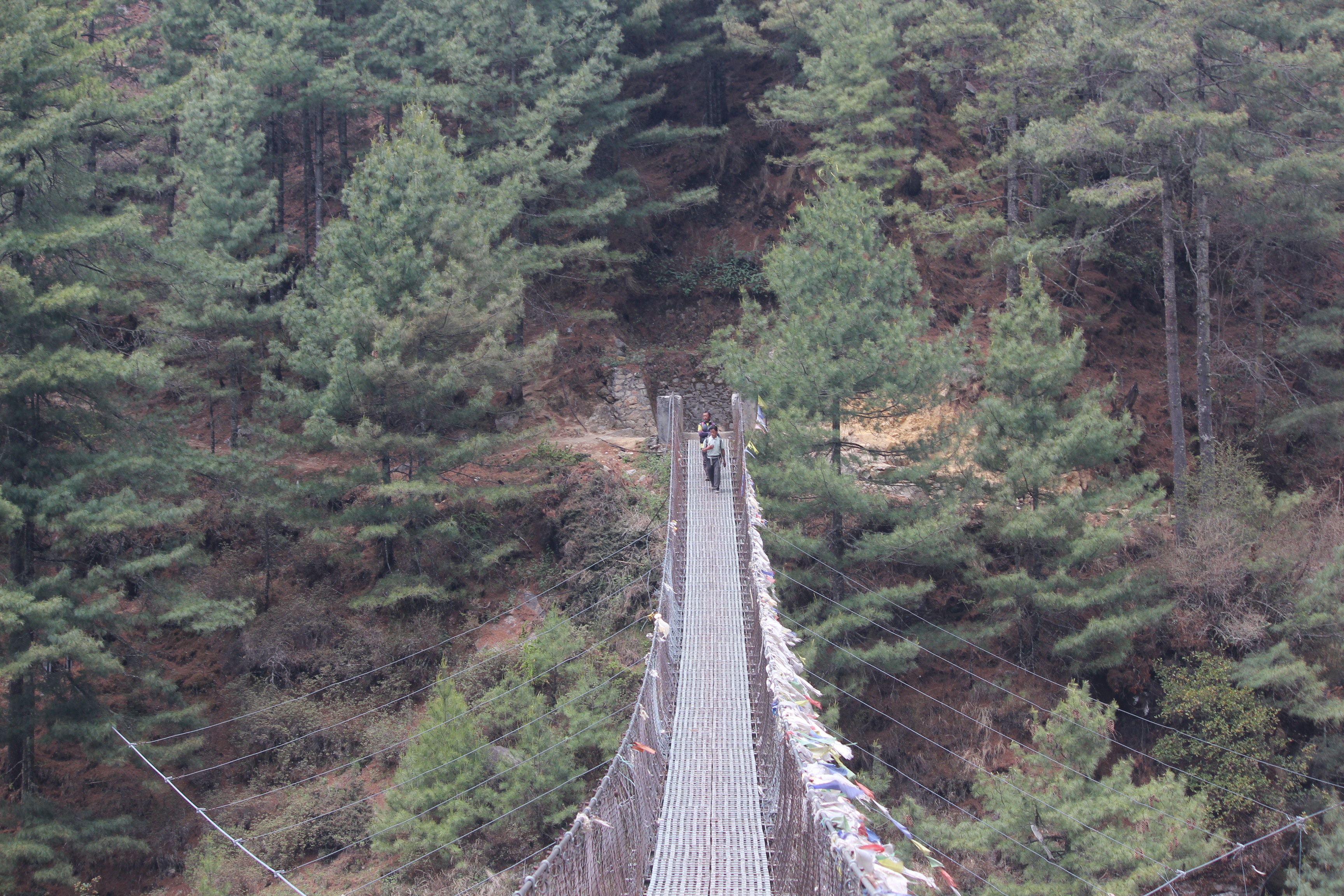
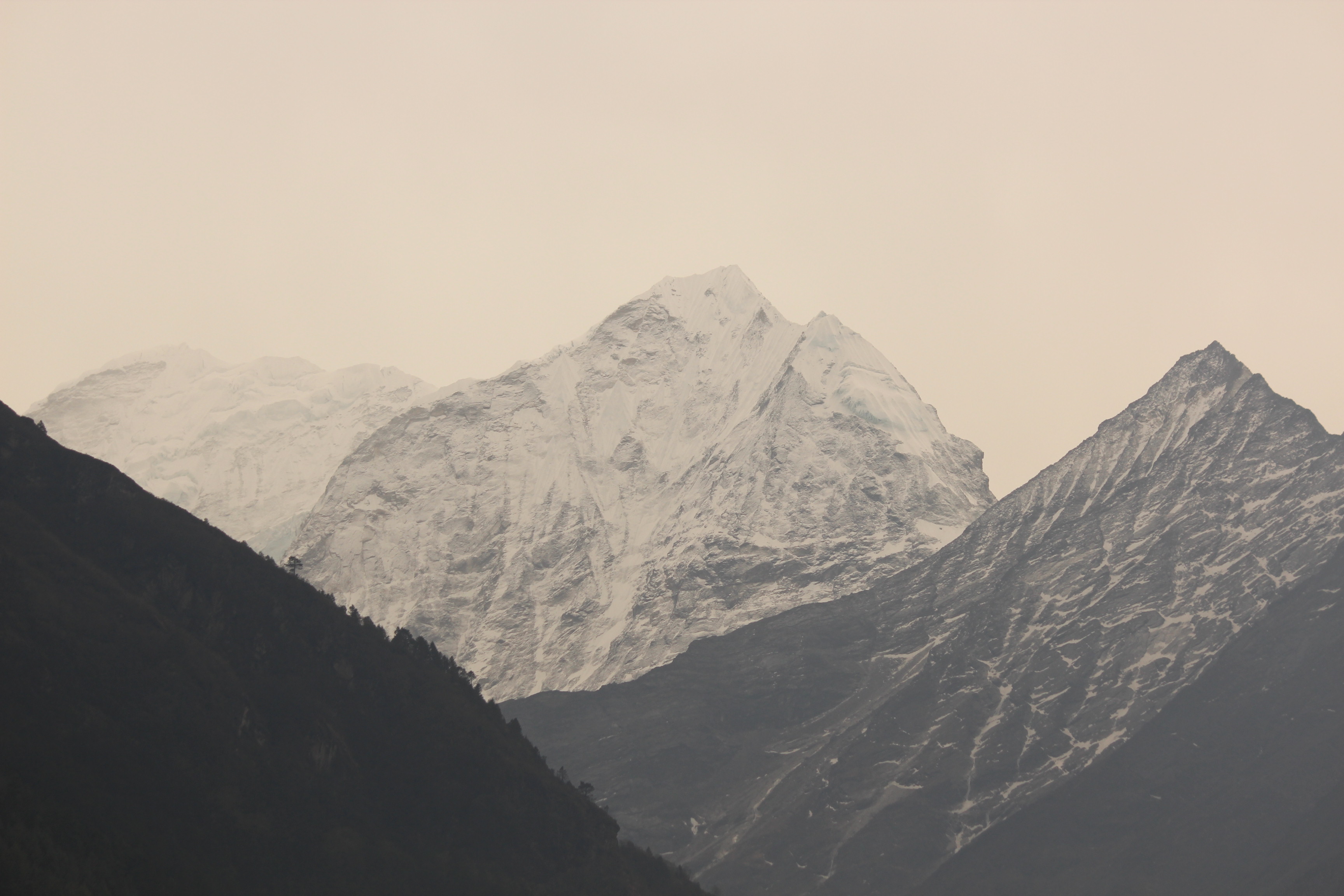
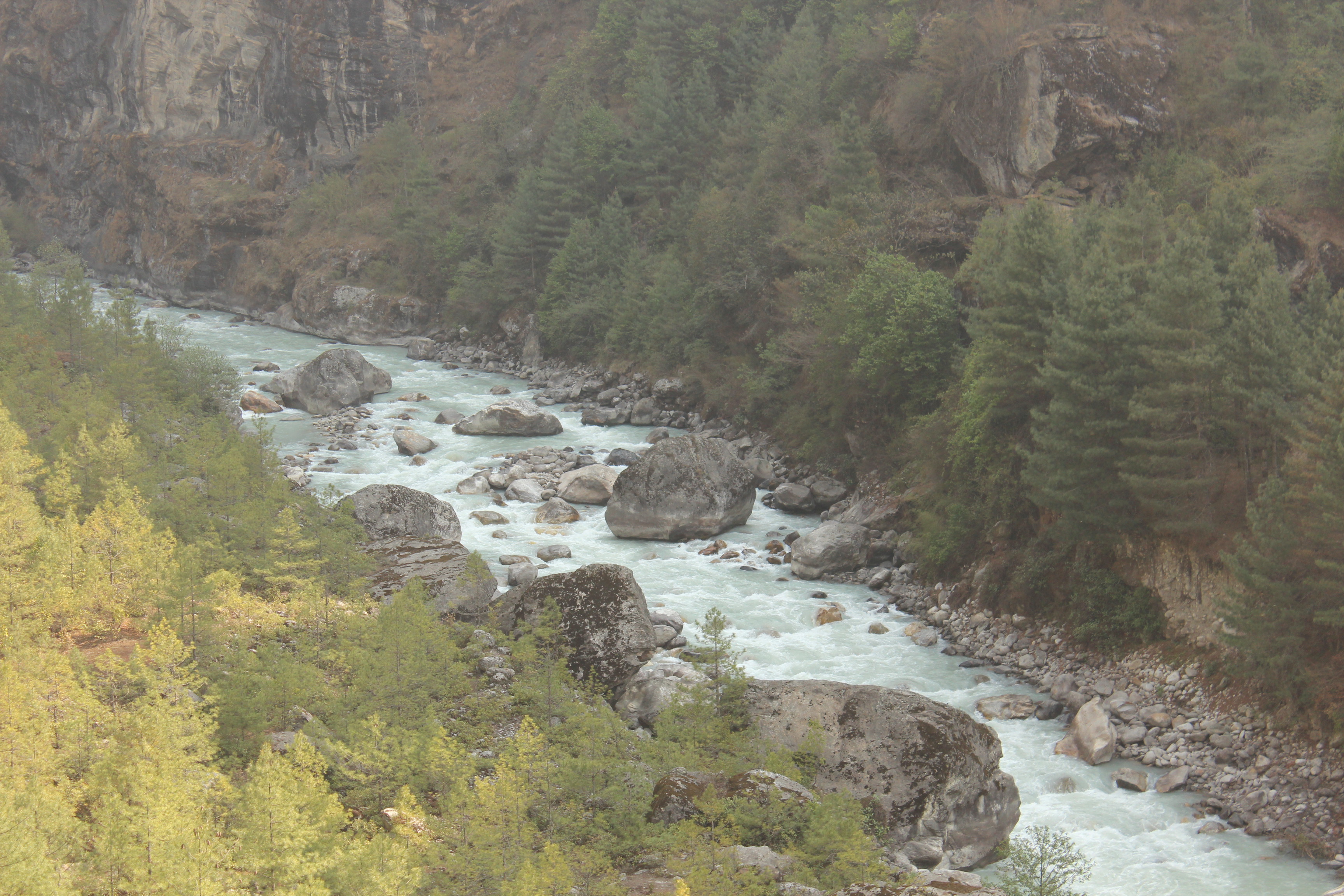
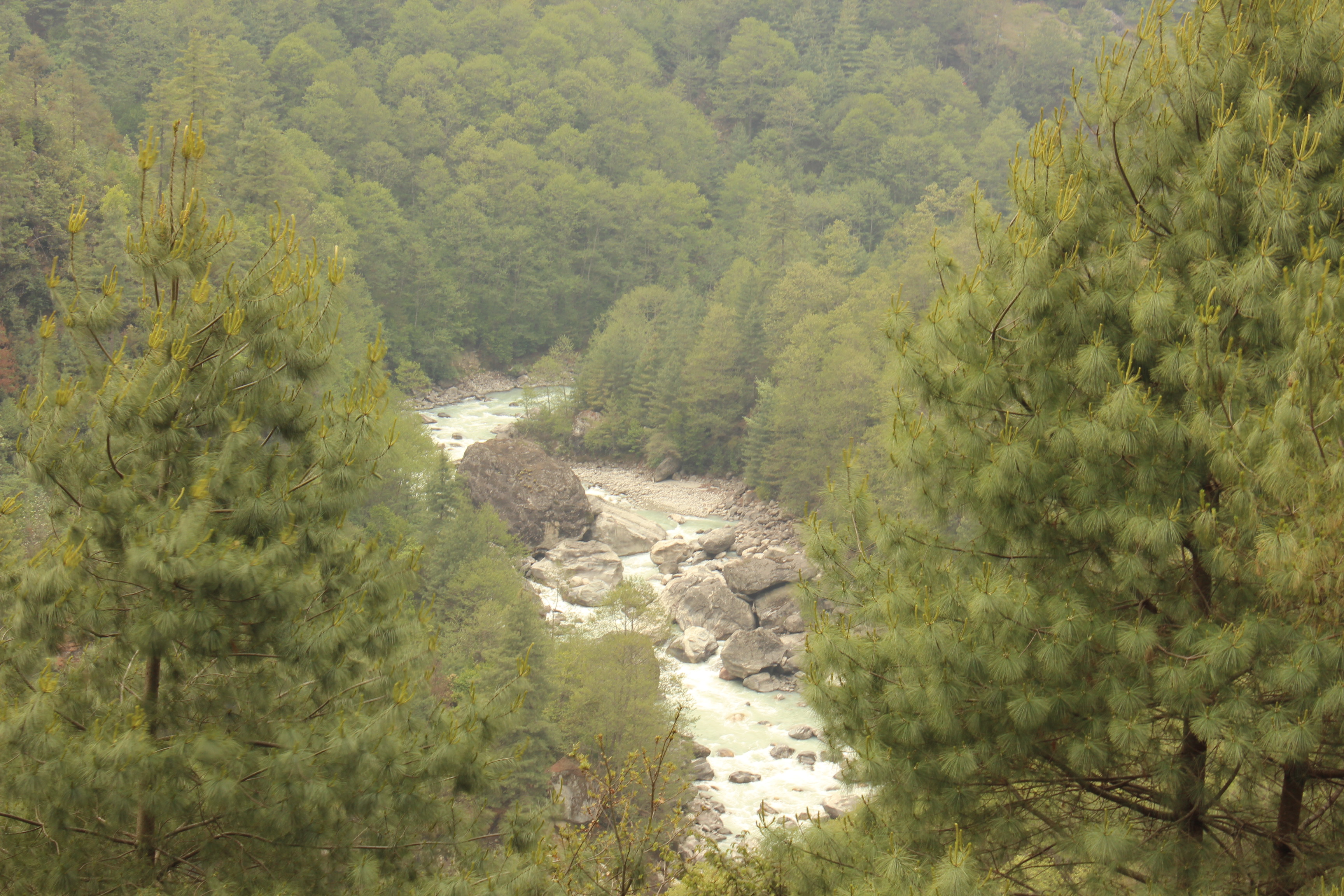
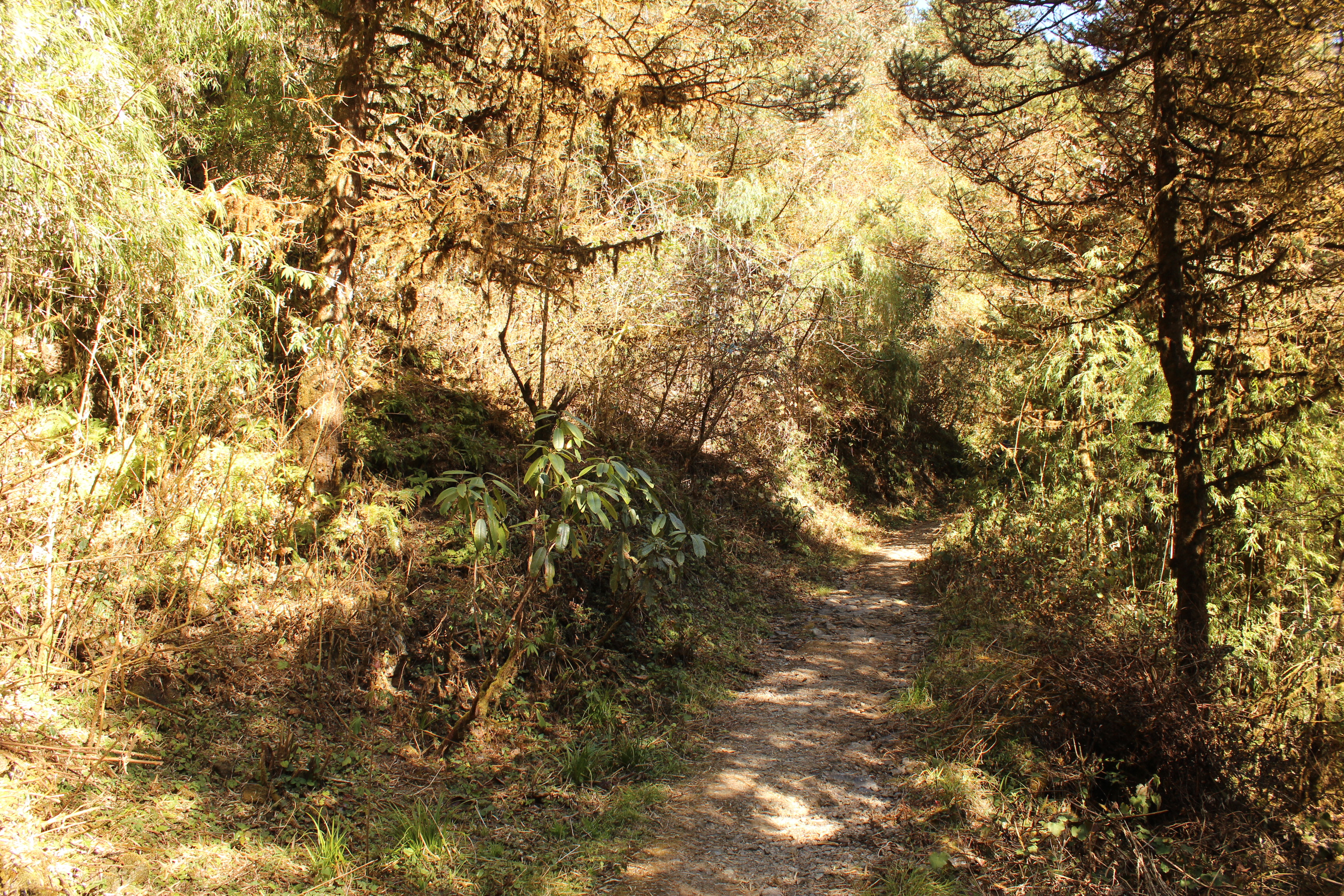
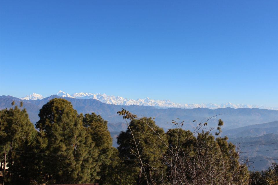
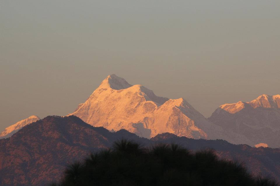
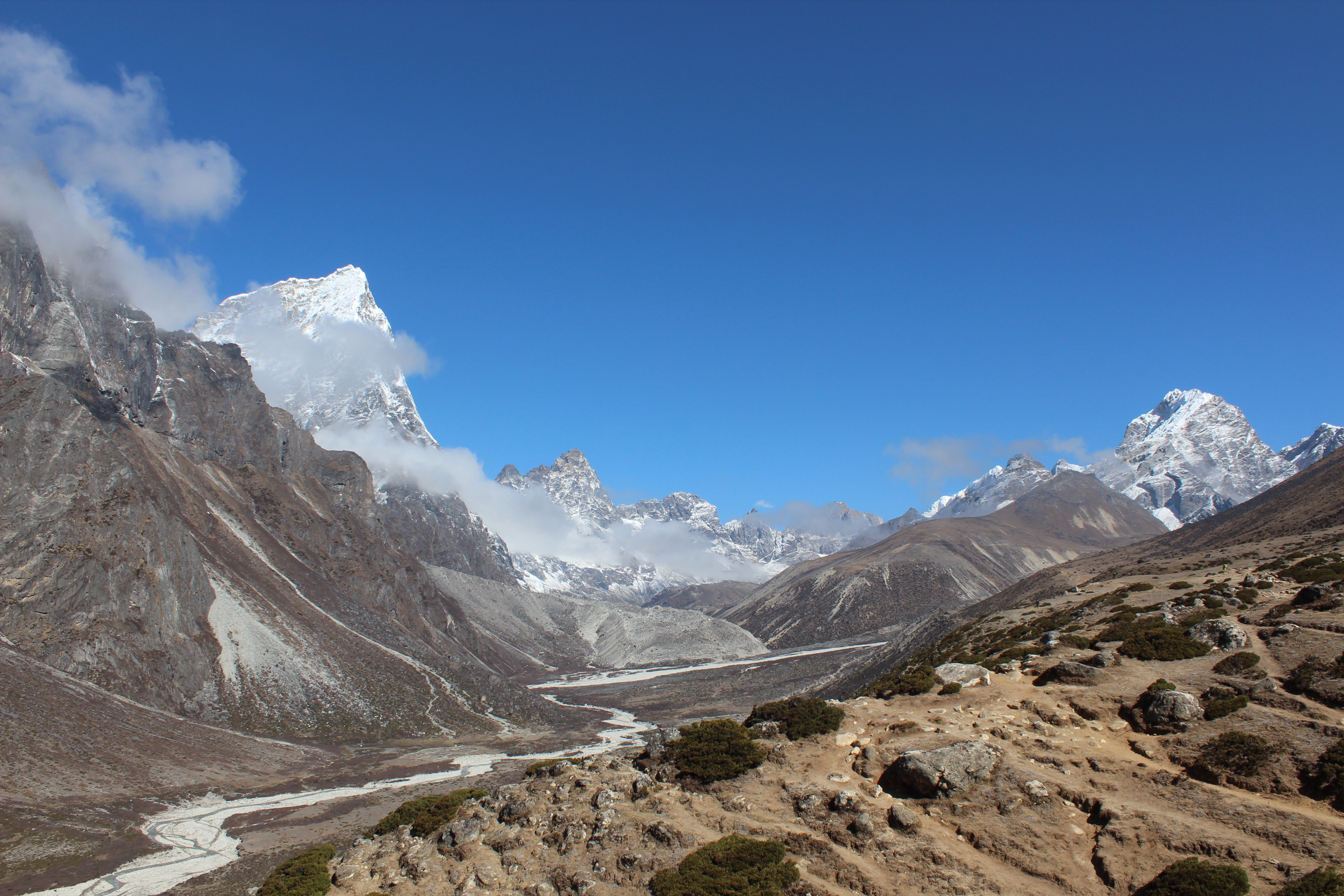
Yesterday, when we were on our way to Dingboche, trees gave way to bushes and scrubs. Today, gradually, scrubs and bushes gave way to boulders and rocks. We walked through a valley with a river gorge to our left. The other side of the gorge was lined up with mountains. We met with a German lady, who, like many others, was carrying all her luggage on a backpack and wasn’t using the service of any porter. We exchanged pleasantries, each others’ plans for the day and helped each other with snaps at the majestic backdrop of snow peaks surrounding us in the valley.
Down in the valley, lay the village of Pheriche. Many trekkers opt for that instead of Dingboche, for a halt. Pheriche has a medical unit served voluntarily by medical professionals from across the world. It is specialized in treating trekkers and mountaineers suffering from high altitude sickness. Thanks to the unit, the number of casualties have reduced drastically from previous years. From Namche onward, every now and then the silence of the terrain was broken by sounds of the rotors of Helicopters that were plying around, mostly for rescue operations. What takes days to reach, will take 30 minutes to an hour to rescue someone from as far as base camp to a Kathmandu hospital or a hotel. So far, we’ve been unaffected by it. Keeping to the advice given before, we were constantly gulping down water to keep our blood circulations going.

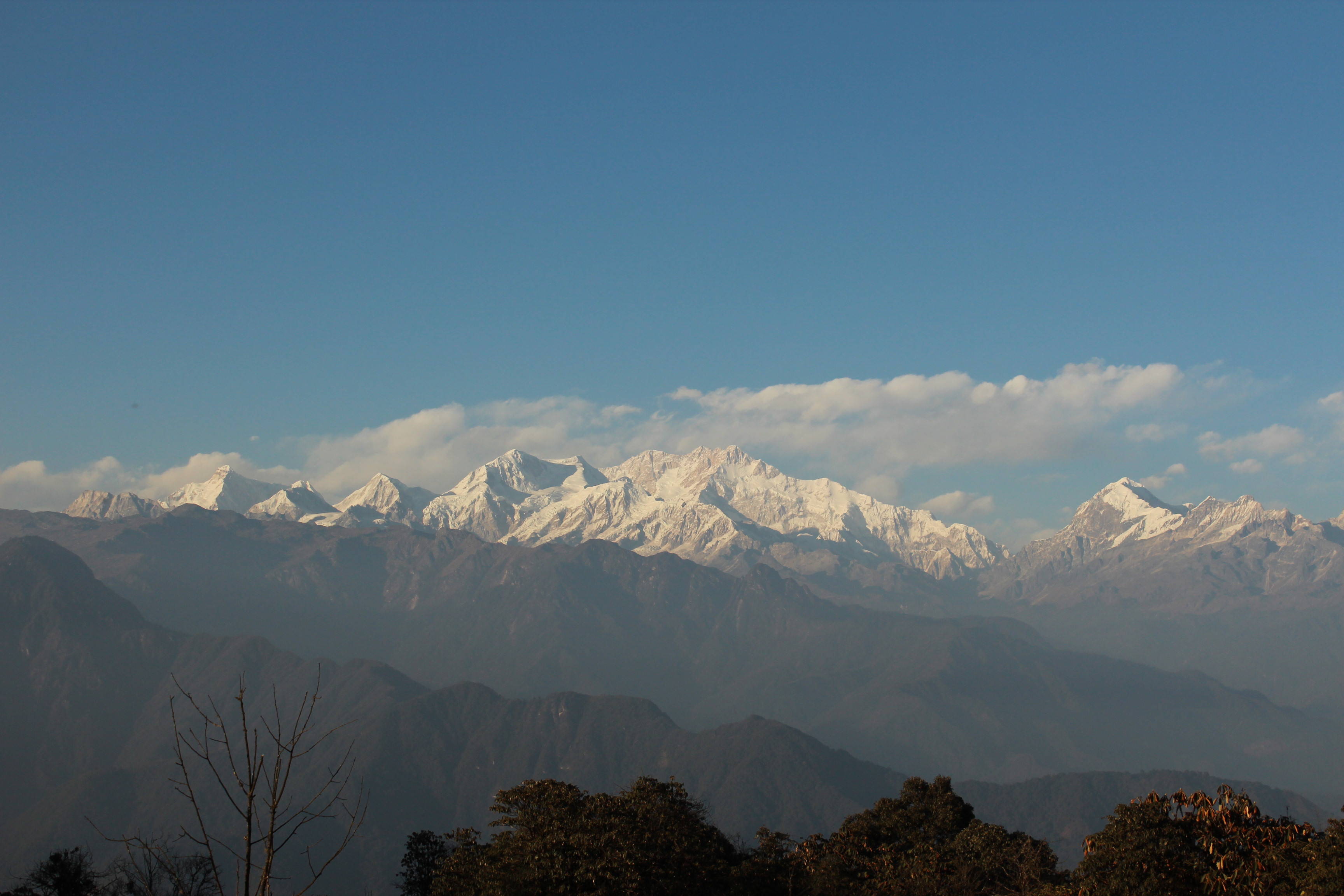
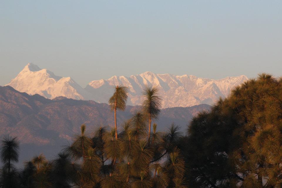
We spent sometime in the valley to soak in the breathtaking views of the surrounding mountains.

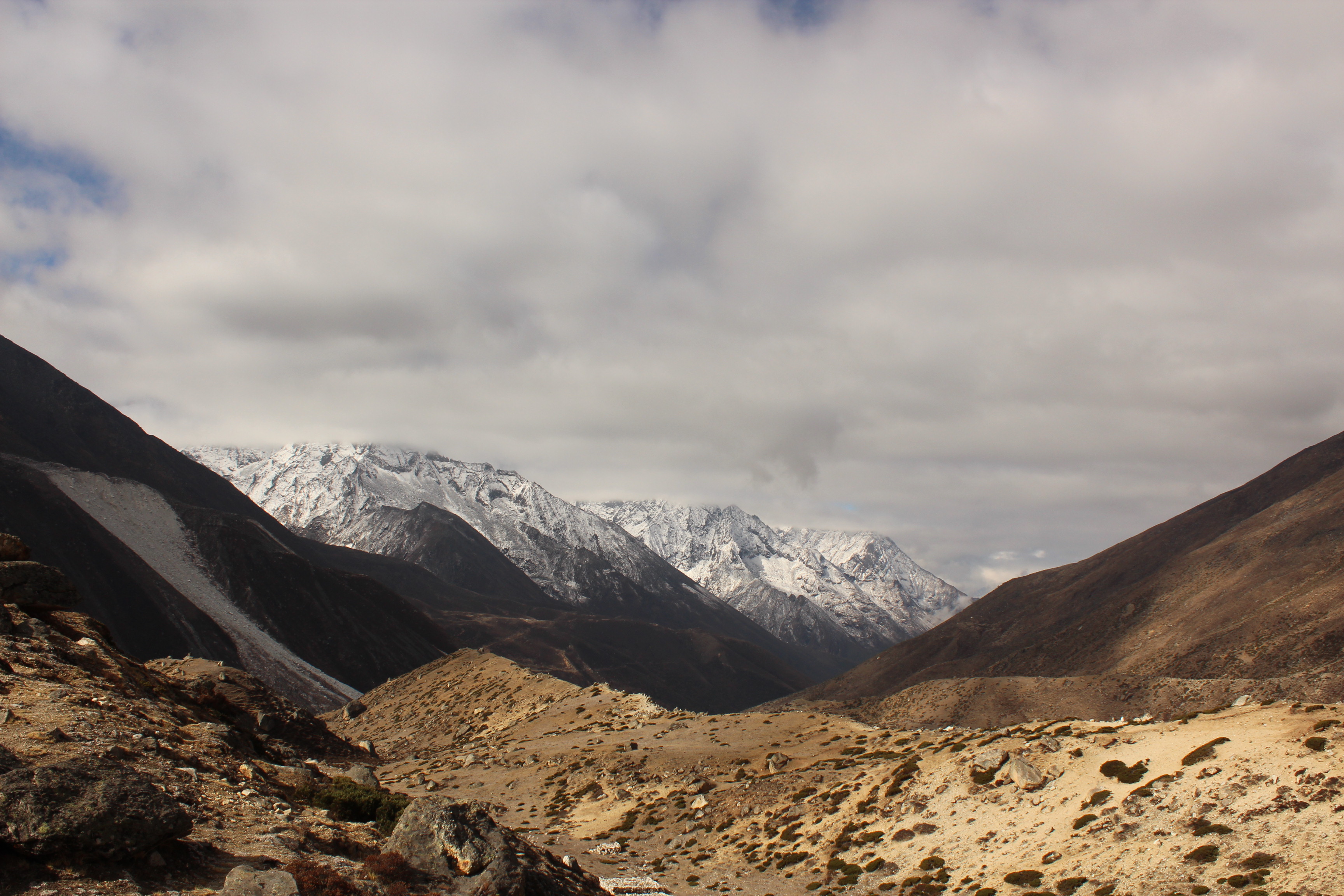
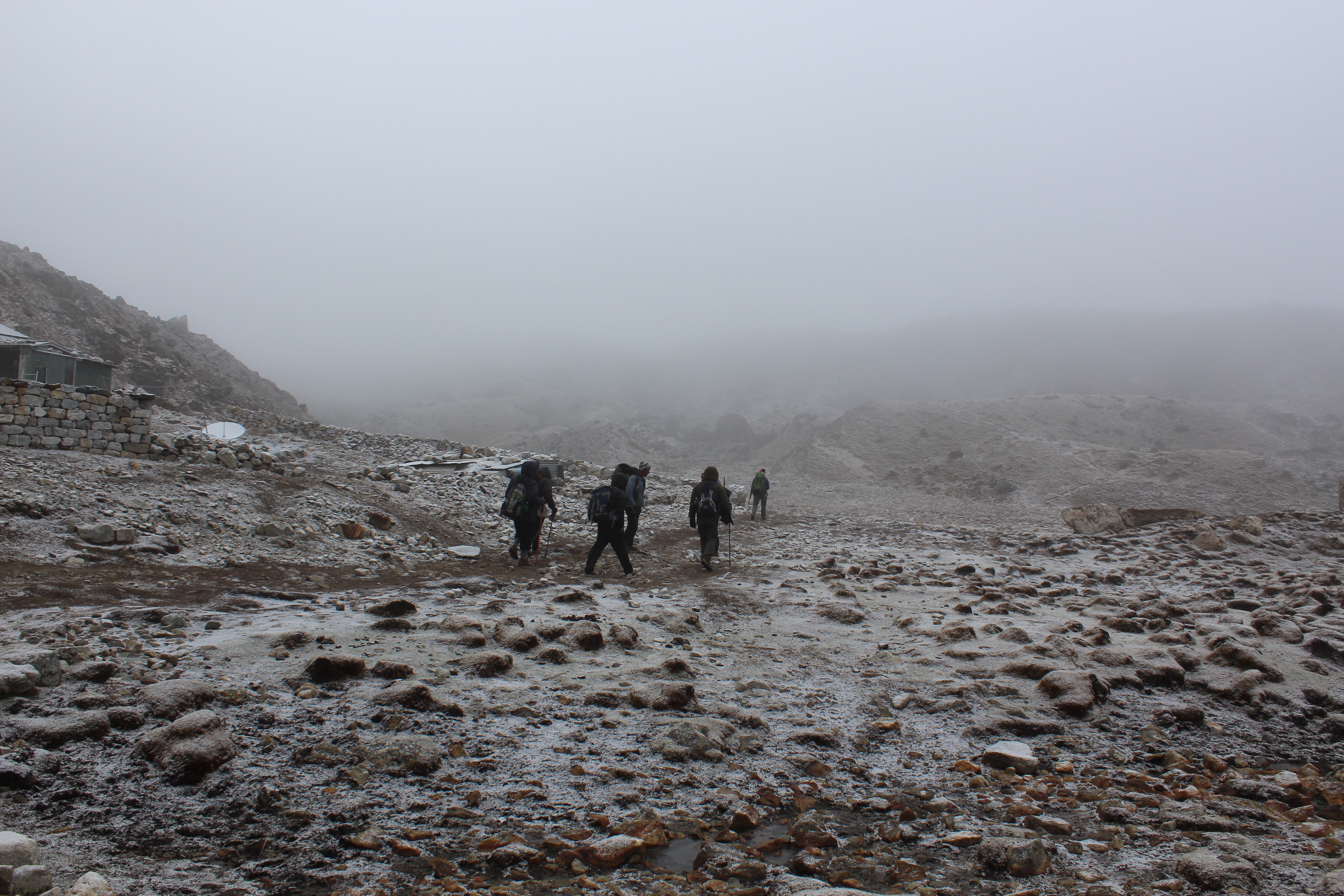
The walk was on almost level ground but there were no signs of any vegetation. We were now travelling towards the Thukla village. That would be our stop for lunch. After that, there was a steep hike towards the Thukla pass.
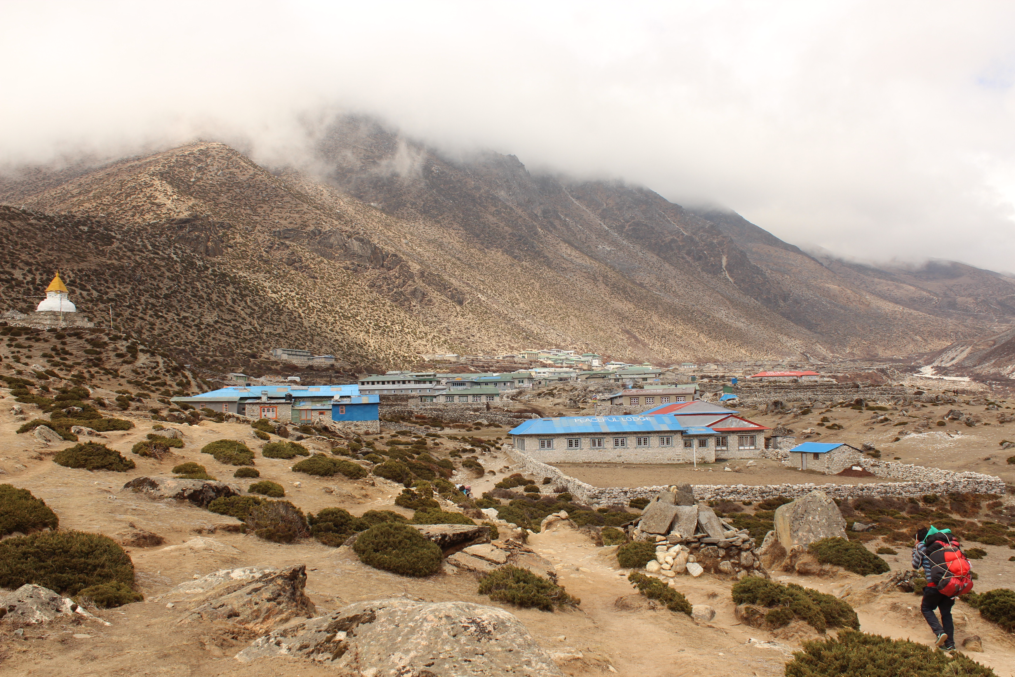
After walking for about 2.5 hours, the trail gradually moved down towards the river till we reached a small pool, beyond which lay the small village of Thukla – our stop for lunch.
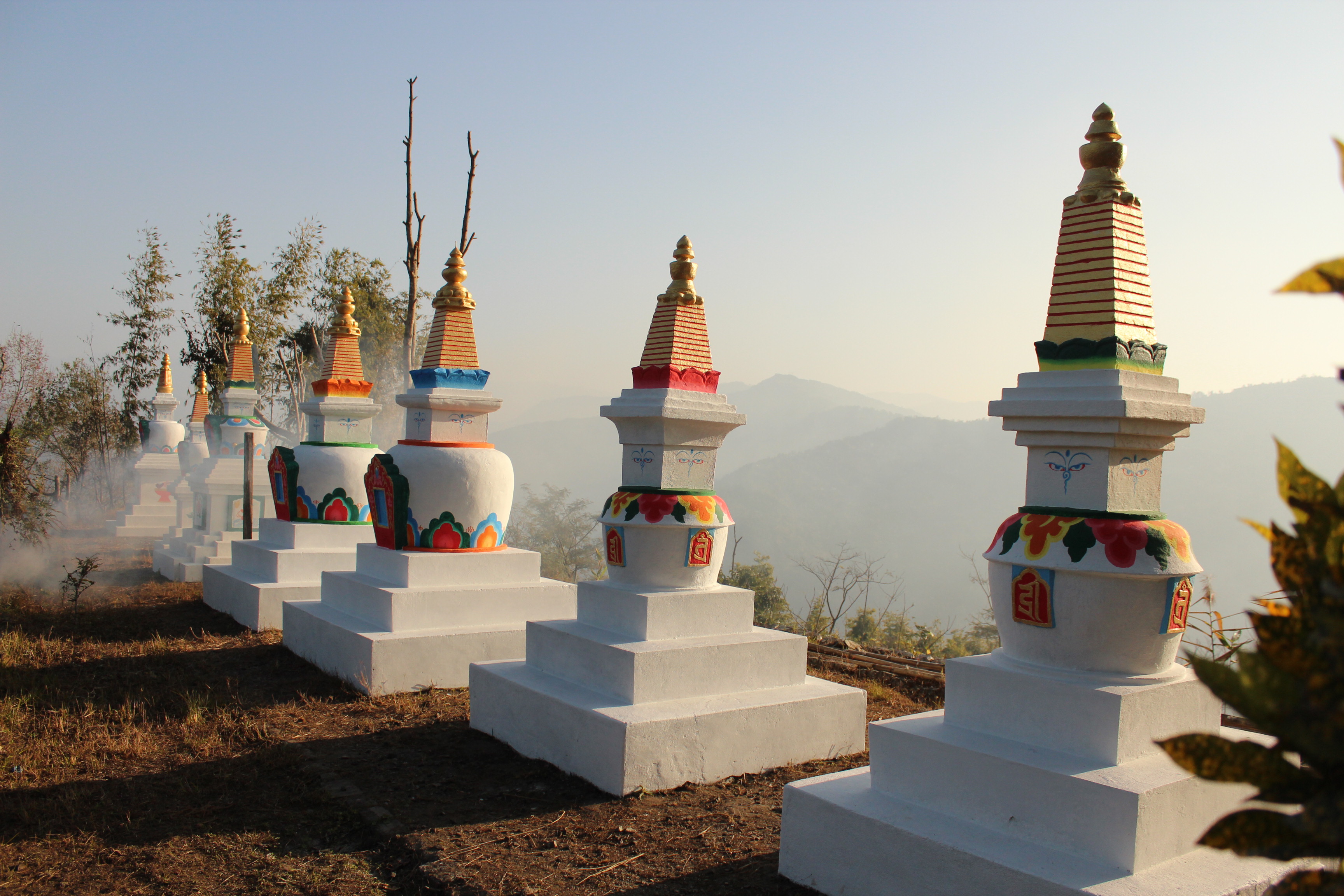
When we sat for a cup of tea (after ordering our lunch), guide Raju pointed upwards beyond the lodges of Thukla. We saw a faint line dotting through the mountains on the other side. That was the route to Dzongla and further on towards Cho La pass. The route for today though, moved up in front of us to the top of the Thukla pass, which was dotted by Chortens (indicating the top) which we were to cross to reach the other side. That was supposed to be the only remaining hike for the day and the walk after that, as assured by Raju, was downhill, followed by a gradual stroll till Lobuche. We had our lunch musing about the hike ahead. After lunch, it was time to strap up our backpacks again and start the hike. The hike, though not very tough by standards, was tiring, especially after lunch. Clouds started hovering above as the day wore on. All of us in our group were separated by our respective speeds. The porters were already waving at us from the top. Dhananjoy and Niladri were ahead of me and Raju was accompanying Sidhhartha da at the rear – a pattern that would repeat for most of the trail. I would typically walk a few steps till I reached a bend, rest for a while and then plod up till I reached the next one. At each bend, I looked down to gauge the height that I ascended. Finally, I crossed a narrow gap between two heaps of Mani stones to enter the flat top of the Thukla pass.

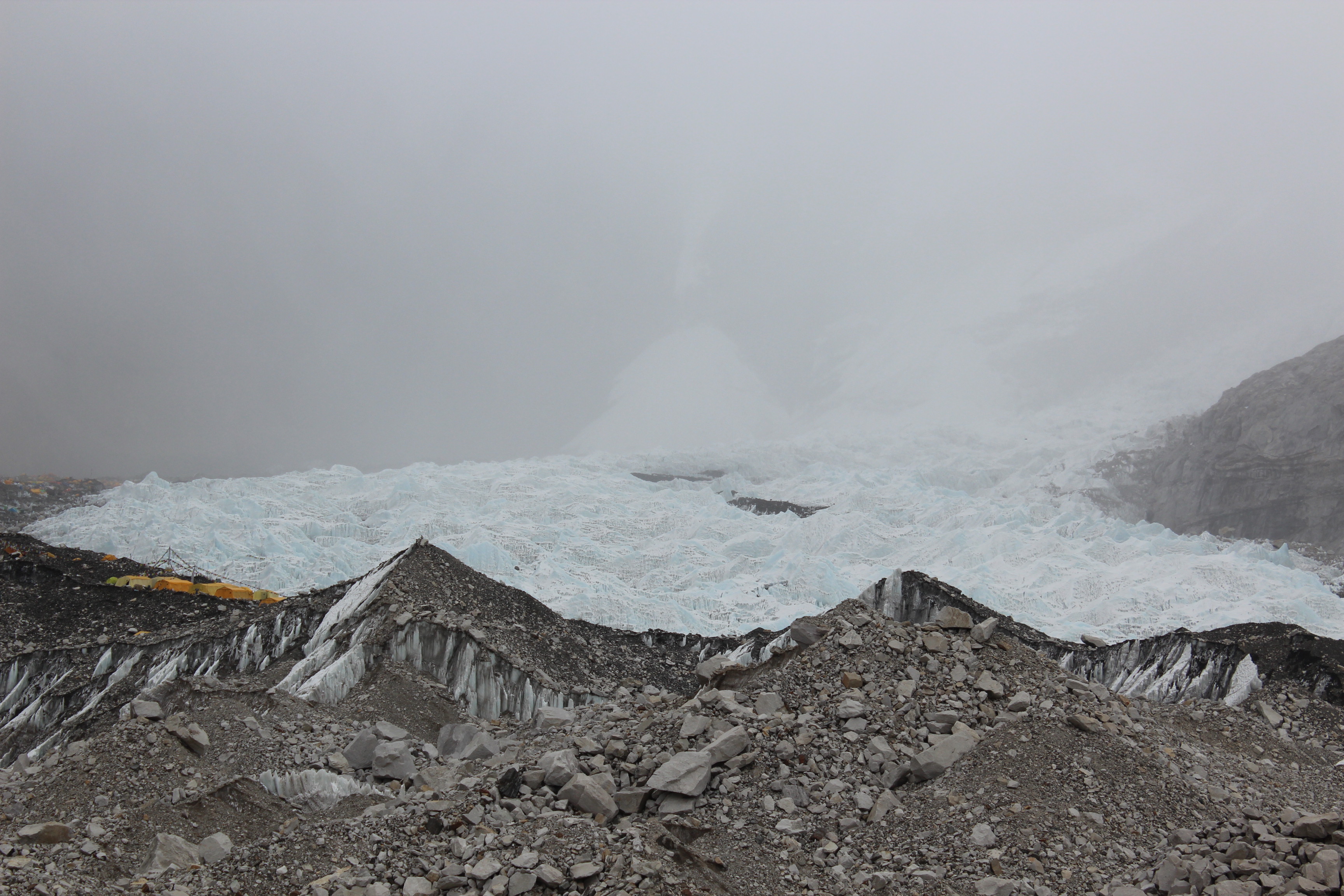
We were at the doors of the Khumbu glacier. The two mountains that housed the two trails were separated in between with a wide valley strewn with boulders and rocks. The pass had many memorials erected with inscriptions depicting the names of the mountaineers who lost their lives in their attempts to scale Mt Everest over the years, some on their way up, but most, on their way down. Almost every part of the world had their representation with the Sherpas from Nepal having their numbers disproportionately high. This was a testament of the role they play in all these expeditions aiming to tame the roof of the world. Each of the memorials were decorated with colorful prayer flags scripted with Tibetan mantras flapping in the wind that swept the pass. Out of the memorials, I could find one that had the name of Scott Fischer, one of the expedition leaders of the year 1996. On that fateful day, he reached the summit of Everest at the very last (after all of his paying clients and guides), totally fatigued. By that time, clouds already started to engulf the lower reaches of the summit ridge. He had to bear more than his share of load which resulted in his fatigue but he kept putting up a brave face keeping to his reputation of unparalleled strength. He even wished good luck to every climber on their way up and down past him after their successful summit bid but was depleted to his last bit of strength. On his way down, his body finally gave up and after descending through some parts of the summit ridge, he couldn’t move further. His trusted aide, the climbing Sherpa Lopsang Jhangbu tried his best to keep his morale up and even attempted to drag him down. But, up there, in that altitude, that was an impossible ask. Fischer finally pleaded Lopsang to move on to save himself and his clients. Quite against his wishes, Lopsang heeded to Fischer’s suggestion and moved on with tears in his eyes (by then, he was quite sure that he was probably seeing Fischer alive for the last time).
Same was the fate met by Rob Hall, the celebrated leader of the Adventure Consultants expedition team. He was caught in the storm on the south summit on his way down. Doug Hansen, one of his clients and Andy Harris, a guide on his team were also with him. Both of his compatriots were quite debilitated and out of their wits due to depleted oxygen supplies to their brains. Rob had to spend more than a day on the south summit. Both of his mates were dead by then. The base camp manager Helen and Guy Cotter (Rob’s colleague on Adventure Consultants team, who was guiding another expedition on Mt Pumori during that time) pleaded him to make an attempt to move on his own towards the South Call, where support and resources lay in store. Rescue attempts were made by Sherpas but had to be abandoned due to hostile weather and Rob had to be left on his own to fend for himself. The fight didn’t last long. Days later, when the Imax team (another expedition that was filming an ascent to the Everest summit via the South call-South-east ridge route and who helped other teams in their times of distress) were making their summit attempt, they came across the frozen bodies of Scott Fischer and Rob Hall. They spent sometime to pay their respect and moved on.
Three Ladakhi climbers, Subedar Tsewang Samanla, Lance Naik Dorje Morup, and Head Constable Tsewang Paljor from an expedition conducted by Indo-Tibetan Border Police, were on their way to the summit via the North-North-East ridge route when they were hit by a storm near the summit ridge. It was the same storm that resulted in fatal outcomes for Rob and Scott’s teams on the Nepalese side of the mountain. In late afternoon by Nepalese time, they communicated with other members of their expedition in the camps below to say that they reached the summit. However, it later turned out that they may have stopped some distance short of the summit but couldn’t realize it because of poor visibility. After this, there was no further communication with the camps below and the three never reached their camps. Ever since, an unidentified corpse of a climber (famously called Green Boots) is encountered in a cave near the yellow band (about 8500 m). It later became a landmark on the North-North-East ridge route as every climber has to pass around it on their way up. The term Green Boots came from the color of the boots worn by the corpse. It is widely believed to be Tsewang Paljor but could never be confirmed officially.
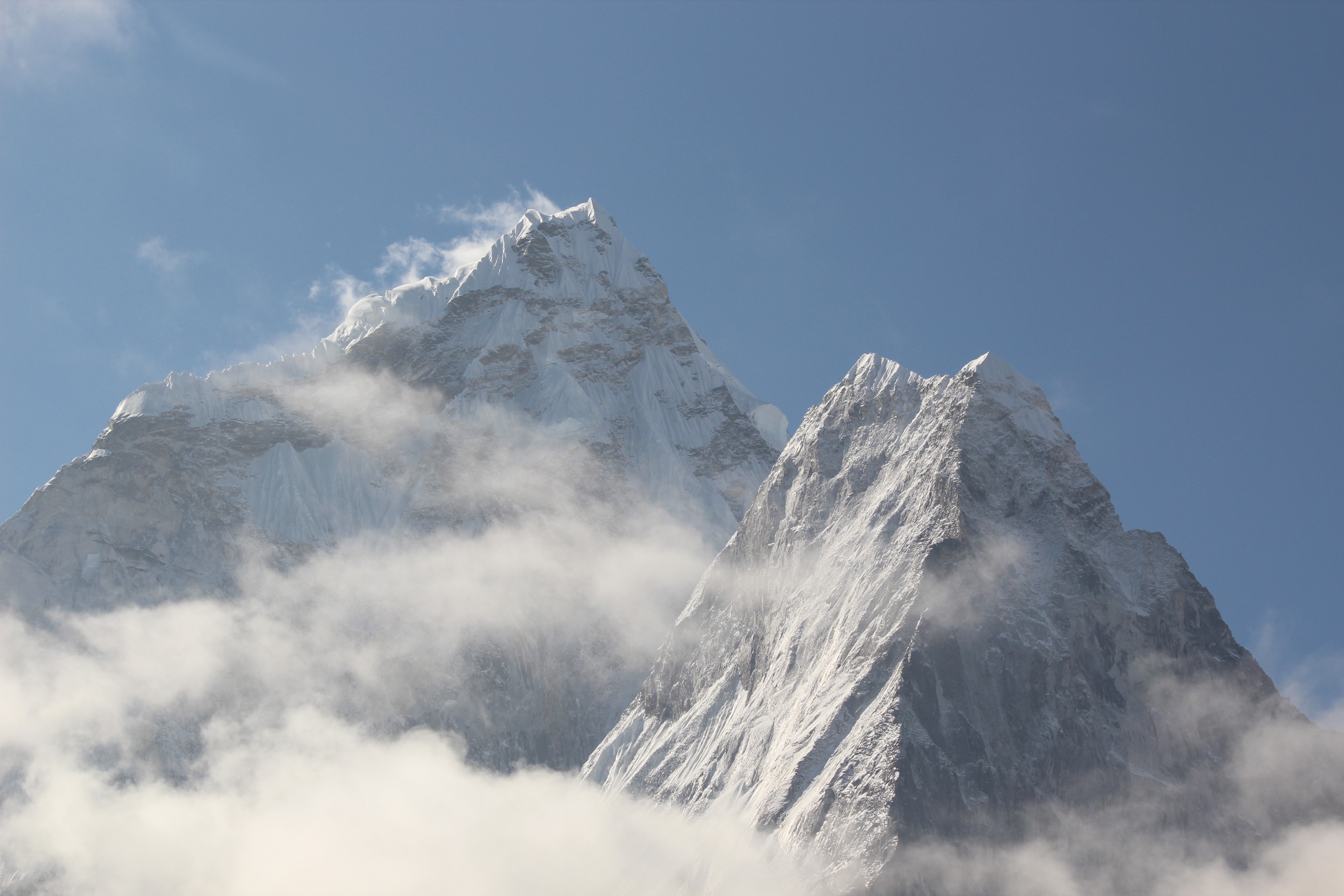
I took a moment to look around. In the direction from where we just reached the top, lay the village Thukla down below in the valley, the pool and behind it, lay the entire trail which we traversed to reach Thukla. Beyond all that stood Ama Dablam amidst the clouds that have started to shield it. When I turned about 90 degrees clockwise, I landed upon a clear view of the trail along the slopes of the mountain on the other side of the pass that led towards Cho la pass. Another 90 degrees turn clockwise showed me the trail that lay ahead of us, which went downwards from the pass and descended amidst the moraine of dust, rocks and boulders. We could clearly see the trails of two routes converging, one from Dzongla and the other from the pass which we were standing upon. After convergence, the trail continued amidst the moraine towards Lobuche.
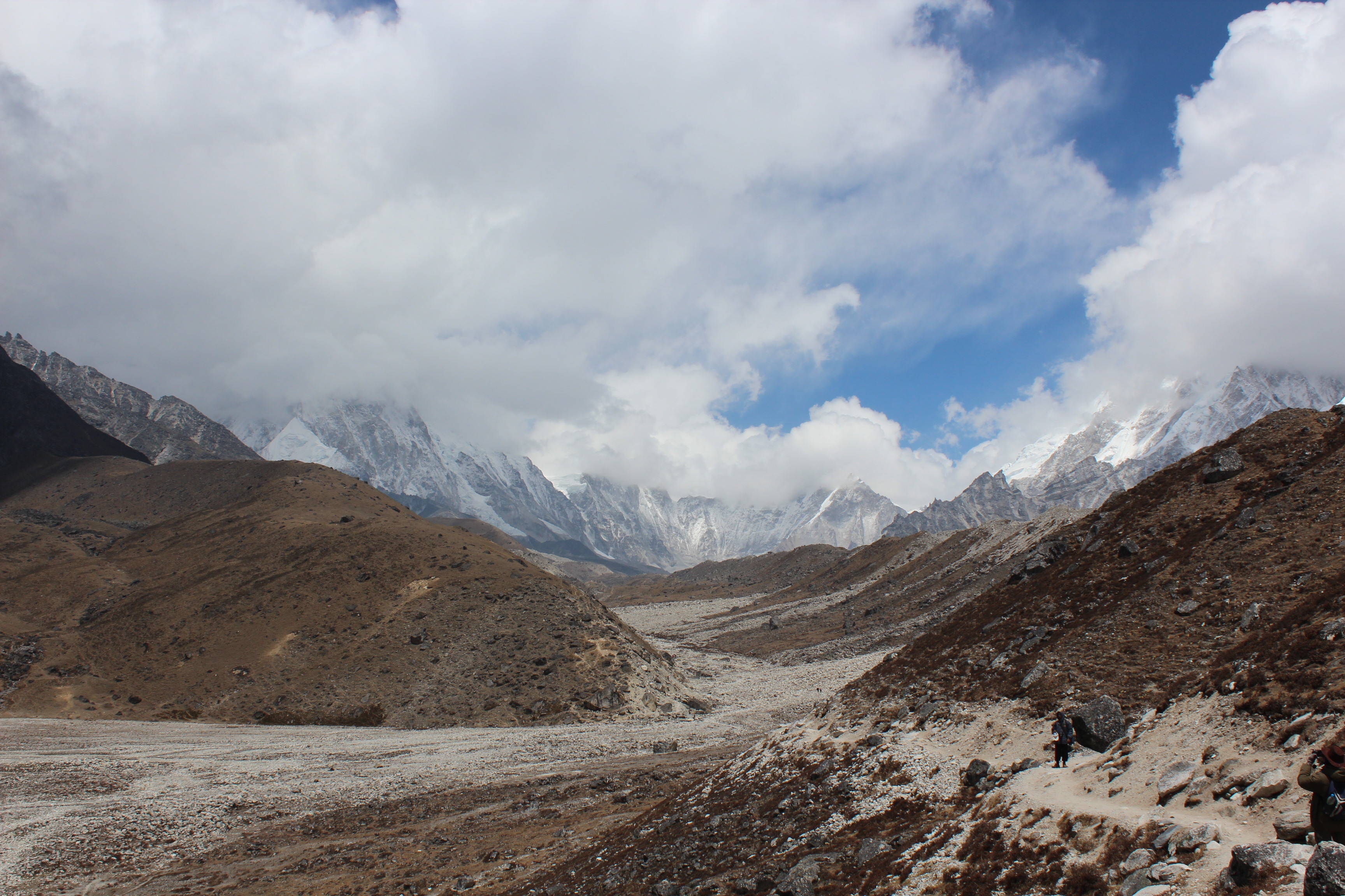
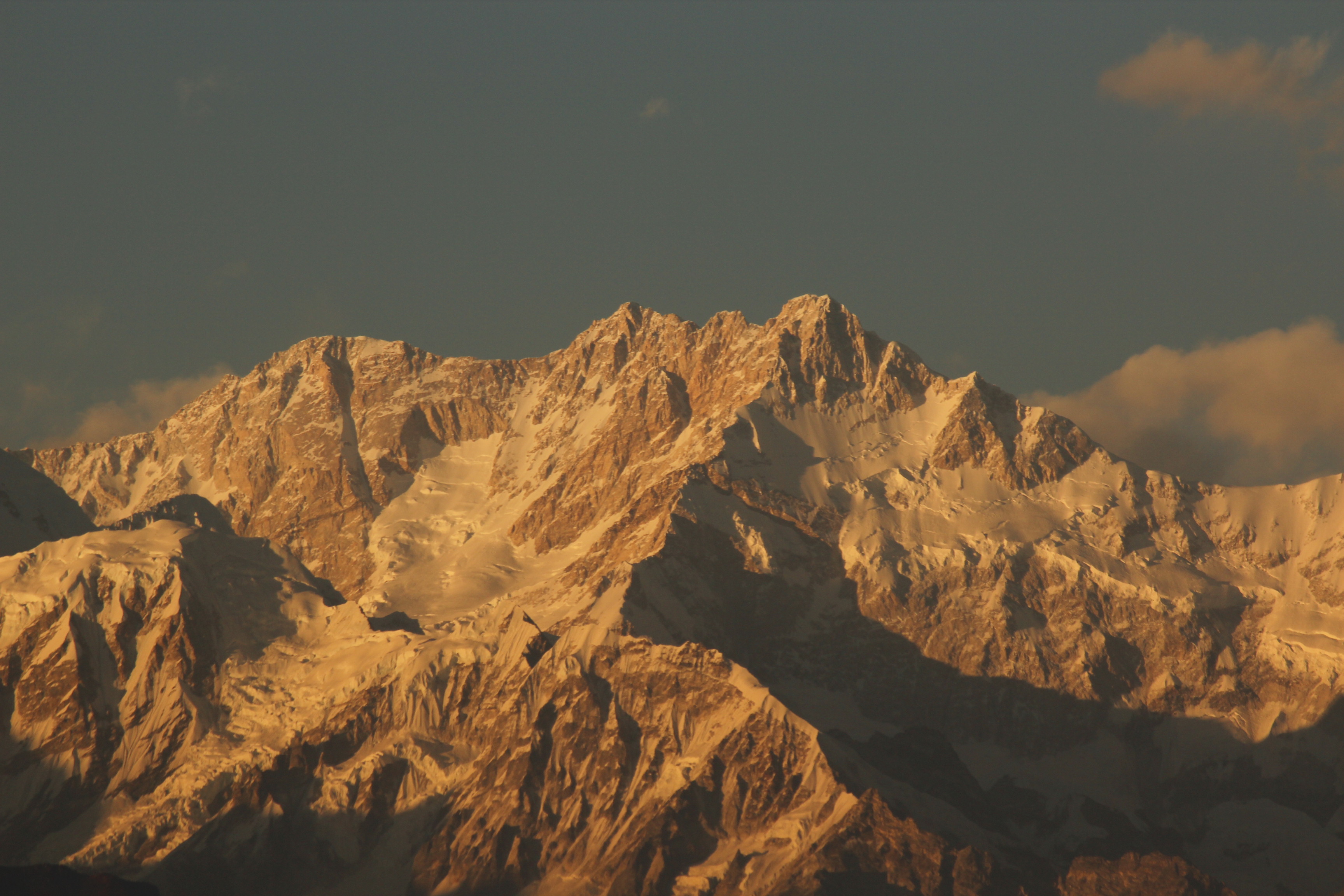
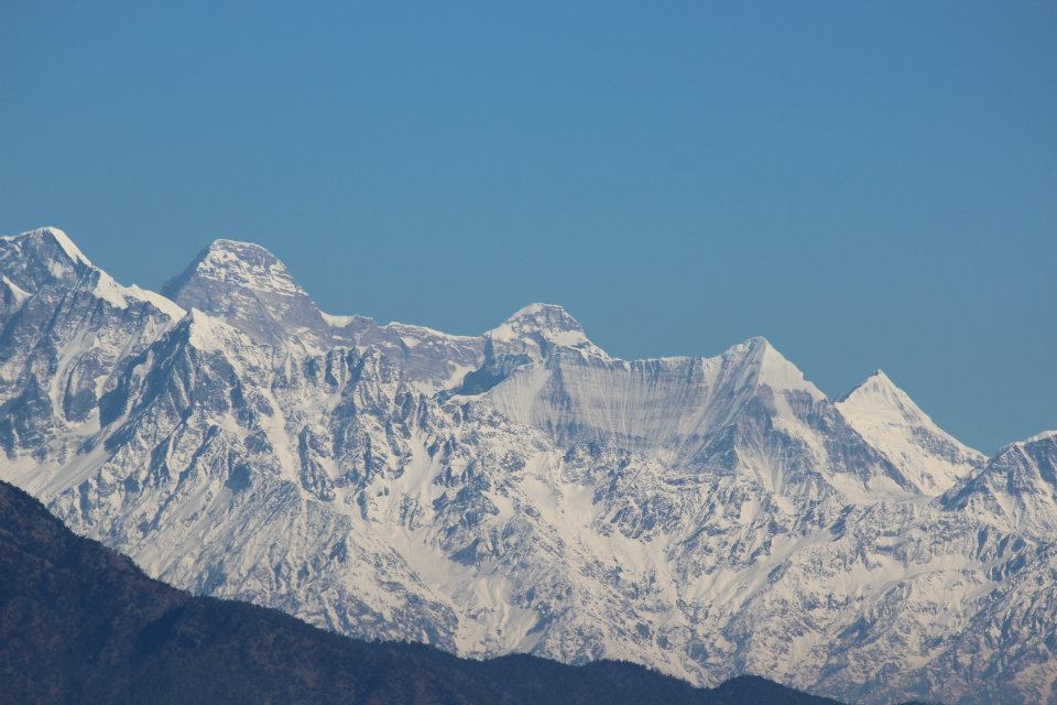
As we started our descent from the pass, a look at the near and far mountains showed huge bodies of snow lying on their slopes. Their colors were white that wore a tinge of bluish-green. We could even see the cracks as the glaciers came down the slopes and the bends above the rocky surface. We were already into the territory of Everest and its peers.

After the descent from the pass, our path moved besides the rumbles of dust and rocks, but it was considerably level considering the circumstances. We heard the sound of flowing water as we walked, but couldn’t see a stream or river nearby. After sometime, it was evident that the sound was coming from water flowing under the rocks. The trail had a gradual ascent till we reached a bend and the lodges of Lobuche were just below it. We reached our lodge, tired and exhausted and just collapsed into the chairs of the dining space. Just as we ordered tea, it started to snow outside.
As with all the lodges, the dining space was filled with hustle and bustle of trekkers who were sitting in groups, enjoying their respective drinks. The wall was adorned with photographs of 14 highest peaks of the world that reached 8000 meters or higher. They were split almost evenly between Nepal Himalayas and the Karakoram. After some rest and tea, Dhananjoy suggested we go for a nearby hike to reach a top from where we could see the bed of the Khumbu glacier. By that time, the drizzle had stopped. We garnered enough strength to plow on, however, after going a few steps, it started snowing again and we had to turn back.
At dinner, I had mashed potatoes and a glass of honey, ginger lemon tea. Others had omelets with slices of bread. The next day, we were to start for Gorakshep in the morning, leave our bags at the lodge there, have lunch and then plow towards Everest Base Camp. We were all excited at the prospects for the morrow as it was going to be sort of “D-Day” as we’d get to witness “The Base Camp”. We slid into the blankets in our respective rooms. We were now sleeping at 4940 m.