The solitude of Khopra ridge – Tadapani

Earlier

Next

27th April, 2025

It was unsually warm at Pokhara during the previous night. The hotel room didn’t have a fan, so we had to turn on the air conditioner to escape the heat and humidity. It gave me a sense of guilt (bordering to criminality) to turn on an air conditioner at a hill station like Pokhara. I’ve never faced it before. To limit the sense of guilt, I turned the air conditioner off after a couple of hours and opened the windows. Morning rituals took some time and after a fresh bath (the last occasion to do so before the trek ends), we headed downstairs for breakfast. We’d already transferred our luggage into the duffel bag. Yugal and Ramesh appeared at the doorstep while we were still at the breakfast table. After some delay, we boarded a Scorpio to embark on our journey towards the village of Ghandruk which was about 58 kms away. It was cloudy and none of the members of the Annapurna family were visible, which was a shame. It didn’t bode well for the rest of the day.

The vehicle made its way through reasonably corwded but disciplined roads of the Pokhara town and after approximately half an hour, it hit the highway. We were told that this highway led all the way to upper Mustang via the towns of Tatopani, Beni, Marpha, Jomsom, Muktinath & others. My mind sprinted through these towns along the highway and I recalled the reverse journey on this highway in the year 2022 on our way back from the Annapurna Circuit trail. This journey in itself is an experience. The lower reaches of it goes through lush green areas with the hills covered with dense forests. Gradually, these make way for dry and barren landsacpes of Mustang with mountain peaks keeping company all through. I still remembered the marvellous sight of the Jomsom airstrip with Mt Nilgiri rising beyond it’s limits. Marpha was famous for it’s apples and related products. Kagbeni, which is further ahead towards Muktinath, is a quiet abode where people prefer to spend a day or two for the natural beauty of the valley to sink in. The entire route travels along the famous Kali Gandaki river, which forms the world’s deepest gorge (reaching up to a depth of 1 km) up above in the upper Mustang region.

While I was engaged deep in these thoughts, our jeep took an exit from the highway to head down towards Nayapul where we saw a signboard indicating directions towards the places like Ghandruk, Ghodepani, Chomrong, Jhinudanda and others which dotted the different routes traversing through what is called the Annapurna sanctuary area (which covers the southern slopes & valleys of the Annapurna range). The sanctuary area is a subset of a much larger Annapurna Conservation Area Project (or ACAP, as the acronym goes) which also covers the Annapurna circuit trail and possibly, parts of lower and upper Mustang regions. After the turn, the road sloped down towards an old metallic bridge which led to some houses, shops & some govt offices. It was a busy place with a lot of people bustling around. This was where our ACAP permits got checked for the first time. The place is called Birethanti. I recognized it. It forms a gateway to the Annapurna sanctuary area and all routes emanate from here. We visited it for the first time during our visit to the Annapurna base camp. We had to halt to allow our permits to be examined and allow the govt authorities to register our entry into the area. Such entries are supposed to be matched during the exit to ensure whoever has entered, has also exited the area safely and no one gets lost in the trails. A similar exercise also happens at different checkpoints of other trekking routes of Nepal. We tasted the delicacy of local samosas. They tasted very different, probably due to the fresh vegetables (sourced from the local aggricultural fields) used in the curry that was stuffed inside. After the brief halt, the vehicle resumed it’s journey through the villages and forests of the sanctuary area. The road was still paved, but turned into a bumpy stretch after sometime as the jeep started to navigate through the curved hill sides. After sometime, we reached a junction from where one route moved further up towards Ghodepani through the villages of Ulleri and Banthanti, while we took the right diversion to climb up towards Ghandruk. The skies turned darker and after significant struggle to maintain its center of gravity, the jeep finally halted at a place, beyond which, walking trails awaited us. We disembarked and started our long awaited trek through the woods of the Annapurna region of Nepal. There was a very light breeze that caressed our faces, while we started the hike. We could see the Rhododendron trees, but they were devoid of flowers. What would have been a full bloom, had we reached here even about a fortnight earlier, was now absent. But there was no reason to complain as thick forests provided a canopy over the trail, which not only provided protection from sun (though it was absent for the day), but a cool breeze and more importantly, the much needed Oxygen which prevents one from tiring while walking on these trails. After about an hour of hiking, we reached the tea house where we were supposed to have our lunch. It was a resonably large place with wonderfully crafted and maintained gardens with lots of flowers.

Ghandruk lodge garden
Ghandruk

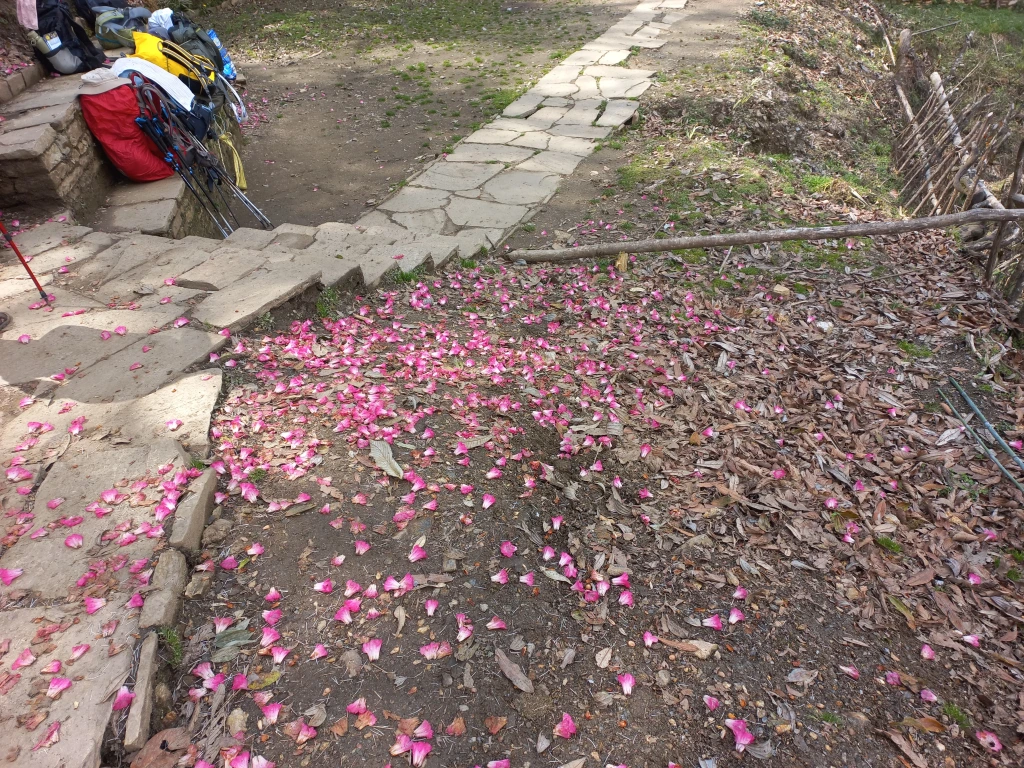
The flowers shone even brighter amidst the looming darkness of the skies, which sent down sounds of distant thunders. As our lunch started getting prepared, we spent sometime to capture some snaps of the blooming flowers.

Ghandruk - flowers 1
Ghandruk
Ghandruk flower 2
Ghandruk

We enjoyed our first “dal-bhat” meal in Nepal after about a year. With hunger accentuated after hiking up from the starting point, the meal tasted even more delicious which was served with hot rice, lentils, vegetables, pickles and other delicacies of rural Nepal. After lunch, as I moved out to the open terrace, I felt a few drops of water on my body. Looking up at the sky, I saw the dark clouds hovering above. We still had at least two and a half hours of hike left for the day and chances were there that we may need to walk in the rain. We put on our raincoats and resumed our hike.
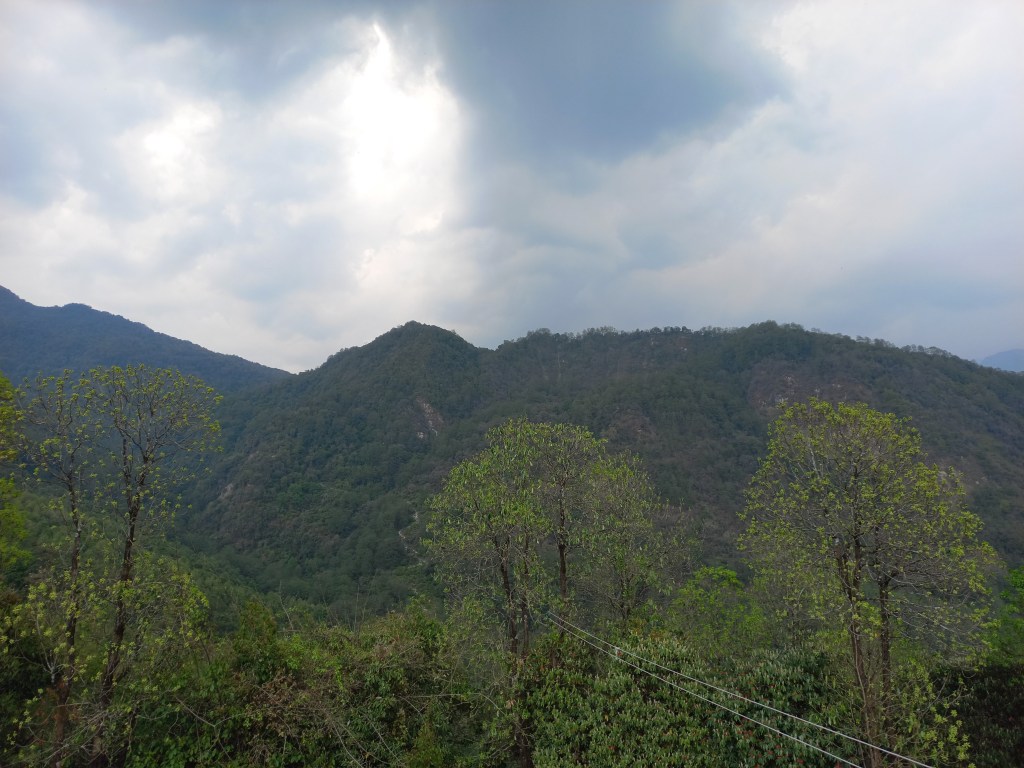
Ghandruk clouds
Ghandruk

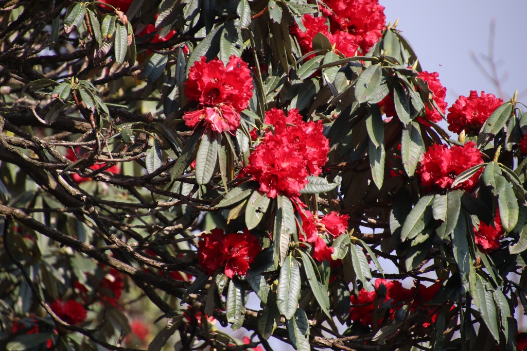
I could now see a few Rhododendron trees with a few flowers which were remnants of the full bloom that might have perished about a week ago. Colors of these flowers vary according to the altitude. The trees we saw now, had red flowers, but other colors make their appearances at the higher altitudes. The height of these trees also keep decreasing with altitude. The trees dotting the higher ridges are called “Dwarf Rhododendrons”. Rain droplets increased in their size and frequency as we moved up and after a point, we reached a place called Bhainsi Kharka, a conglomerate of lodges. That’s when rain came down hard and we had no option but to take shelter. I thought this was good in a way as it might clear up the clouds which could pave the way for a clear evening or even clearer weather for the coming days (or so we thought). I came up earlier while the porter, guide and Ranjan da were still behind. After a while, they emerged from the woods down below and made their way up to the dining hall of the tea house, which gave some warmth. After a a heavy downpour that lasted almost half an hour, the rain eased, but clouds still held their sway in the mountains. We took advantage of this let up and resumed our hike. After leaving the premises of Bhainsi Kharka, the trail moved up amidst a narrow alley. It was thickly forested and we had no trouble whatsoever while moving up. We kept our raincoats on, though they weighed heavily on us, causing a lot of sweat, but there was no choice as there were enough clouds to resume a downpour at anytime. While we were waiting at the dining room for the rain to subside, we saw a few lightning strikes with resounding thunder at distant places. Little did we know then, that these strikes would result in grief for someone.

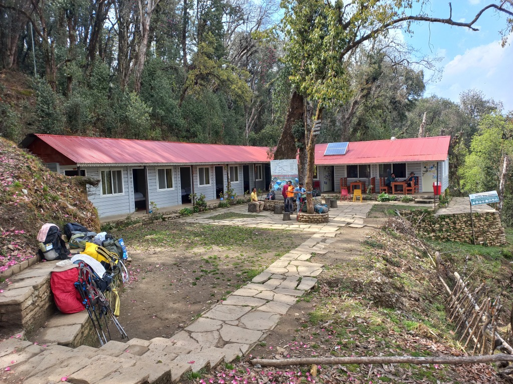
When we finally reached Tadapani, it was still cloudy but the rain turned into a drizzle. The compound of the tea house was spacious with a dining hall taking the centerstage. A rear door at the end of the dining hall led to a corridor which had rooms on both sides. We settled into one of these, changed our clothing and headed for the dining space, which everyone vies to reach after a day of hike. It’s a place for socialization, gossip, reflecting on the day’s proceedings and making plans for the next day, while sipping away at hot tea. All through our way up, we kept hearing about marvellous mountain views which would have been at our disposal, had weather been kind to us, but such statements sounded more like fairy tales, given the current state of affairs at nature’s department. As we spent our time at the dining space, we saw the veil of darkness getting removed and gradually, light became brighter. The chorus of the trekkers outside gathered some energy, which prompted me to look out through the glass panes and wow, there it was, Mt Annapurna South and Mt Fishtail (Machhapuchare, as they call it in Nepal) made their appearance, still shielded somewhat by the clouds, bt their outlines were visible. The sheer size of these mountains gave an indication of the altitude of the place!
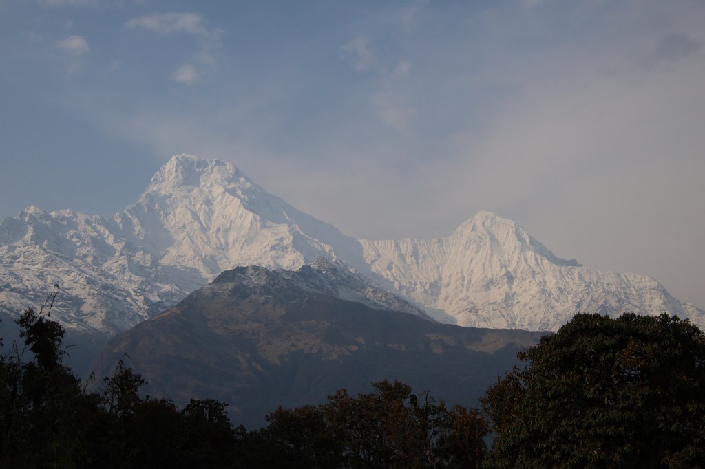
Tadapani - mountains
Tadapani

The sky cleared up further and immediately it lifted the spirits of the people around. Most of them ventured out of the dining place to train the lenses of the mobiles and cameras to the awe-inspiring display of the mountains. We were no exception and our shutters kept rolling in the fading afternoon sun, which started playing its color tricks on the snowy slopes of the Annapurna Himalayas. The emerging sunlight through the still powerful shields of clouds made the birds chirpy too and their sounds were all around us. We got so excited, that we made video calls to our homes to show this view to our family members back there. While I was at that, Ranjanda quickly reminded that this luck might not run long as clouds were still hovering and making advances towards the mountain tops. That prompted me to abandon the call and resume photography to snap up as many as possible till the luck lasts.
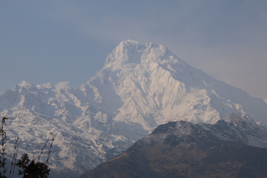
Mt Annapurna South, Tadapani

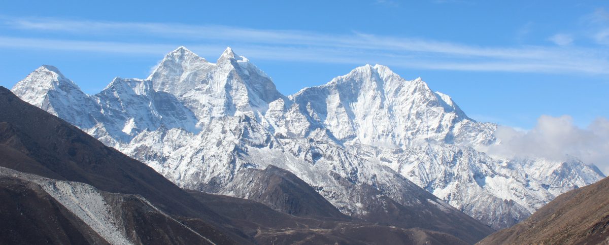
From the left to right, Annapurna South, Hiunchuli, many others in between (the guide told us their names, but I don’t recall) and finally the vista ended at the top of Mt Fishtail.

Mt Hiunchuli, Tadapani

We couldn’t shift our attention from the mountains as the scenes kept changing continuously in the stage act played out by nature. On some ocassion, a mountain top was brightly visible, only to be shielded by emerging clouds, while others made their appearances and this kept on changing amidst the hide and seek between the sun and the clouds.

Annapurna Himalayas, Tadapani

The most striking view was that of Mt Machhapuchare, which keeps inspiring awe, despite looking at it on multiple occassions from different places. We’ve seen it from different angles from Pokhara, the entire Annapurna base camp route, where it’s angles kept changing at every place, Mardi Himal trail and now on this trail.

Mt Fishtail (Machhapuchare)
Mt Annapurna South 2, Tadapani
Mt Annapurna South, Tadapani

Time flied by as we kept our lenses trained on the Annapurna Himalayas and they didn’t disappoint us, but after sometime, clouds gained their strength and made steady advances and eventually shielded them altogether. That prompted us to recline to the dining space. We had our dinner at 7 PM with sandwiches and soup and then moved to our room. The next day would take us to Dobato. We were sleeping at 2630 m.

Earlier 

Next

The solitude of Khopra ridge

Next

Nowadays trekkers often complain about lack of tranquil forests or experience of authentic village life and tribal culture in the popular trails like Annapurna base camp or Everest base camp in Nepal. For that matter, they say the same even for the longer Annapurna circuit trail as well. For Manaslu circuit, though one gets to experience the local village life along the route (more so, than other trails), the complain there is about the ever shrinking trail, thanks to aggressive road construction in Nepal which is eating up the trails gradually. That’s true for any other route. With every passing year, the trails get gobbled up with local jeeps plying higher up in the mountains. In some cases, there are altenrative trails available that lets you escape the mud and dust of the jeep roads, but mostly, that’s not an option, especially, in the Annapurna sanctuary area, which is where I was headed for the third time after Annapurna base camp and Mardi Himal.

I was looking for a week long escapade from the depressing & taxing corporate life to an area which could offer some solace. Given the time constraint, I had to look for the Annapurna region as anything towards the eastern part of Nepal would have required more time, a scarce commodity at hand. Initially it appeared to be a tough ask, given the ever shrinking trails of the region, but after some search (especially, on the website of Nepal Alternative treks & expeditions), I came across the Khopra ridge (or danda, as they call in Nepal) trek. My enquiries with Tej Bahadur Gurung (the proprietor of Nepal Alternative treks & expeditions), confirmed the fact that it was a less trodden trail. The time of the year (late April) also offered chances of witnessing Rhododendron blooms (though to a lesser extent than what we found at Mardi Himal about a year before). We were about a fortnight late than the year before as far as Rhododendron blooms were concerned. Nevertheless, I looked forward to my visit to the area. As usual, the description of the trail along with some youtube videos, provided enough excitement to look forward to it. Expectations ran high with two view points on the trail, Muldai and the Khopra ridge itself, offering almost a 180-270 degree view of the Nepal himalayas ranging from the Dhaulagiri to the Annapurna ranges. To top it off, our trek was to include a visit to the famed Poonhill top, an icing on the cake.

The Himalayas from Khopra danda

Most of my mates from earlier treks were either occupied during the period or had plans to visit other places. Hence, I decided to embark alone if need be (such was the desperation). Nevertheless, I floated my idea in the WhatsApp group and Ranjan da responded. Hence, we booked our tickets to and from Gorakhpur Junction, a town close to the Nepal border in eastern part of the state of Uttar Pradesh in India. This was followed by our hotel bookings at Pokhara for our stays on our way up and down. Conversations with Tej Bahadur Gurung settled the questions about porter and guide. After all these initial proceedings, I got immersed in my professional work as the slated date of travel was still about a couple of months away. About a fortnight after this, an SMS from Indian railways informed me that our train to Gorakhpur on 25th April got cancelled due to some “pre-planned” work at the railway station and any inconvinience was “regretted”. Well, that’s Indian Railways for you. All they can do is to unilaterally cancel trains and regret the inconvinience. That has always been the case and continues to be (despite their claims of advancement with introduction of “high-end” trains like Vande Bharat). Accidents continue unabated, so do delays and abrupt cancellations with “regrets”. After scrambling for other options, the only option remained to start on 24th April, reach Lucknow and take another train in the following night from there. That’s what we opted for. As they say, every cloud (well, almost) has a silver lining, this gave me an opportunity to meet my friend Dhananjoy De (a constant company for me for all treks done in the past), who was a professor at IIIT.

26th April, 2025

After a day’s break at Lucknow and hanging out with Dhananjoy, we reached Gorakhpur junction at 2:40 AM. The only option was to stick around in the waiting room for the dawn to break. The idea was to get going as early as 5 AM to reach Pokhara with the entire afternoon at our disposal to hang around it’s famous lakeside area. However, our driver had other ideas and he only showed up at 6 AM. His reasoning was that the border officials (which included currency convertors) only started their operations by 8:30 AM. We had no other option but to comply. As the vehicle started off towards the border, I closed my eyes as there wasn’t much to cheer about the passing landscape of this dusty town or its suburbs. After about two and half hours of travel, we crossed over the border at Tutibari. This was much less crowded than the conventional Sunauli border. The gate on the Indian side thanked us while the Nepalese counterpart welcomed us for our visit. Soon after crossing it, we stopped near a police station where the cab driver went in for collecting his permit, while we exchanged Indian for Nepalese currency. Our journey started once again as we moved through the Terai plains of Nepal. The landscape wasn’t any different from the plains of India where cultivation fields extended to the horizon. The only difference could have been the views of distant hills, but they weren’t visible due to dust and smoke (some of it coming from burning of crop residues in nearby fields). As we traveled through the highways towards Bhairahawa, Ranjan da shared the weather forecast for the upcoming week. This turned out to be abysmal as everyday was supposed to be cloudy with light or strong rains in the afternoon. The later part of the week was slated to have rains for entire days. As depressing as it may sound, I decided not to delve much into it and leave it to nature’s discretion. It’s not new in the mountains to have unpredicted rains. Our route converged into the highway coming from the Sunauli border and we gradually crossed Butwal. Hills made their appearance after that and we suddenly found ourselves embarking along the serpentine mountain roads towards Pokhara.

This is a familiar trail as I’ve traveled through it multiple times (the most recent being a year ago on our way to Mardi Himal). After about four hours, we stopped at a place called Ramdi. It had a few shops offering the famous “Dal bhat” meals of Nepal. But we headed towards a fruit vendor who was selling cucumbers and a mountainous fruit from the nearby forests called Karphal. These were sweet and sour and tasted beautiful. After eating some, we purchased some more to have on our way up. After Rambi, we reached a road junction with an iron bridge over the famous Kali Gandaki river coming down from the distant and rugged Upper Mustang area of Nepal. I recalled having dinner at this place durnig our trip to Mardi Himal. After crossing that place, I waited somewhat impatiently to reach Pokhara, which was still about a couple of hours away. As the sun settled towards the west, my impatience increased as if time was running out.

After a few bends, we entered the wide roads of the Pokhara town and a few more turns took us to the famous lakeside area. Our hotel Himalayan Vacation was situated almost on the banks of the Fewa lake with just the road separating it from its banks. We disembarked from our vehicle and headed to our alloted room at the third floor. The balcony opened right in front of the lake and a bird’s eye view of the lake surrounded by thickly wooded hills, greeted us.

Fewa lake
Fewa lake, Pokhara

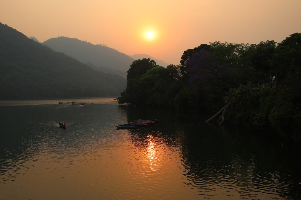
We got some much needed bath and headed towards Gaurighat, which was on the banks of the Fewa lake right across the road in front of the hotel. Tourists flocked the area with cameras and mobiles in their hands to capture the shots amidst the fading sunlight. The weather was pleasant with cool breeze from the lake soothing our souls. As the sun prepared to bid goodbye, the lake waters gilttered in gold.

Fewa lake sunset
Fewa lake, Pokhara

The tourist boats floated in the tranquil waters, splashing their way through it. The sun acquired a crimson tinge as it prepared to hide behind the clouds which also hid the distant Annapurna ranges.

Sun set
Fewa lake, Pokhara

Despite many tourists flocking the area, Pokhara never loses its tranquility, thanks to the wide roads and spaces near the lake area. After capturing many more snaps, we finally headed back to our hotel as we awaited the arrival of our porter and guide. Ramesh (the porter) and Yugal (the guide) finally arrived from Kathmandu and we sat in our room for a conversation. We made some enquiries about the upcoming trek and associated altitudes. Weather formed an important part of it. Both of them were soft spoken and sounded friendly, a welcome sign for a trek. Our bags didn’t quite fit into the duffel bag they had brought over from Kathmandu. So, we decided to transfer the luggage from our individual bags into the duffel bag and leave the unnecessary items at the hotel to recollect them on our way back. It was decided to start at 8:00 AM, the next morning. We were to travel by a jeep to Ghandruk, followed by an hour of walk to have lunch. Another couple of hours of walk after lunch should take us to Tadapani, our halt for the first day. Subsequent days should take us to Dobato, Khopra danda, Swanta, Ghodepani and finally to Banthanti, which is where our trek was to end, culminating in a jeep ride back to Pokhara.

After they went away, we went out for an evening walk. After a stroll, we had our dinners and ice creams and headed back to our room, made calls to our homes to inform our arrival and our plans for the morrow. Given the tiredness of the day, it took no time to close our eyes. We were sleeping at 822 m.

Next

Mardi Himal – Rest camp

Earlier

Next

31st March, 2024

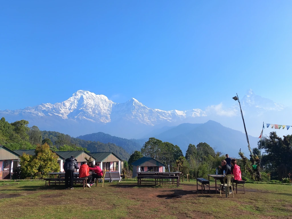
Woken up by the alarm, as I ventured out of our room, the first thing I watched was the state of the sky. Darkness was gradually fading out with a soothing light spreading throughout the skyline. Dark silhouettes of the distant mountains appeared prominently. There wasn’t any trace of clouds near them. I could identify Annapurna South, Hiunchuli and Fishtail on the northern horizon, though all dark at the moment. The cold was intense, though not unbearable. Placing fingers on the camera shutters was proving a bit difficult. The dining place was active with the staffers getting on with preparing the kitchen to serve breakfasts. Sounds of cocks and hens in our lodge (saw a few of them the day before) and nearby localities formed the typical welcome for the upcoming sun, which was now spreading its golden tentacles though the rough edges of the distant hills. The bigwigs of the Annapurna Himalayas still stayed clear of the golden solar rays, but their tops started revealing the snow.

Australian camp

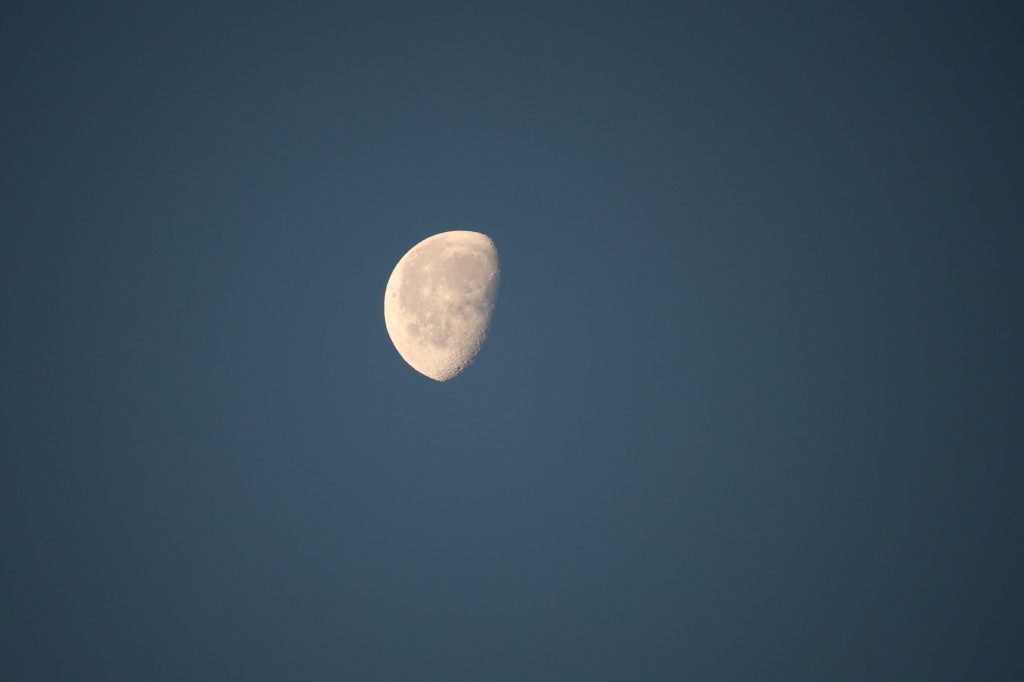
We were all at the lawn with our respective cameras and phones, eager to capture the display of colors on the Himalayan peaks. Our years of experience in such areas have told us to be vigilant as colors change in splits of seconds as the sun makes its journey upwards. On the other side of the theatre, the moon was about to leave, handing over the baton to the upcoming sun.

The peaks of the Annapurna Himalayas became increasingly prominent. From a faint white outline amidst a predominantly dark silhouette, they started to acquire silver crowns, whose dazzling beauty inspired awe from every onlooker in the sprawling lawn. People started asking the guides and porters about their identities. Some even tried to identify Mardi Himal summit amidst the range of snow peaks. While many of them claimed to have found it, I had my doubts.

Annapurna Himalayas – Australian camp

We had a round of tea while marveling at the morning display of sunshine over the Himalayan peaks. After sometime, breakfast got served. Almost at the same time, we got a disturbing news from one of our members. The sole of Projnesh’s son’s shoes came off and was threatening to separate from the main body. Kunal had a similar experience, but thankfully at Pokhara. So he got a chance to replace it with a new pair there itself. But up here, on the trail, spare shoes weren’t available. I could feel for Projnesh as I’ve faced it before. He did a brave act by tying it with multiple ropes. It wasn’t perfect, but hopefully, should sustain today’s hike. The breakfast was filling and delicious with bread toasts, honey, omelets, tea/coffee and mashed potatoes (a common item in these areas). People stuffed in as much as they could, strapped their backpacks and hit the trail.

Today’s hike would take us to Rest camp, a destination which is half an hour beyond the Forest camp (which is a more common halt on the way up). We found the idea to be good as it’d advance us a bit more for the next day’s hike towards the High camp. The trail was similar as the day before, to start with. It wound up the slopes amidst dense rhododendron forests, the density of these trees increasing by the height.

En-route rest camp

However, as we moved up, phases of tracts with stairs increased. This was going to be the first day with full trekking and going by the estimates, it was supposed to be a normal day (not as easy as the day before) as far as hiking goes. It should take us to at least 2520 m (the Forest camp), but more than that. After exiting Australian camp, we continued gradually upwards till a village called Pothana. This place is a junction and one could change tracks to switch to the Annapurna base camp (ABC) route which ran in parallel to this trail. Rather most of the trekkers use this junction to hatch on to the Mardi Himal route from the ABC route. We passed through many local villages and lodges that dotted the trail amidst dense forests. The group, though started together initially, split into smaller sub groups, each walking with their own speed. I found myself alone after sometime (which I always do), inhaling the freshness of the forest dew and air. After passing through the premises of Pothana, we came across a point from where a trail moved steeply upwards. An arrow at that junction pointed to Pitam Deurali and Samjay Deurali – two villages that awaited us in the higher slopes. Nepal has many villages with same or similar names across different trails (at times, also on the same trail). Deurali is one of such names. There’s a Deurali on the ABC trail (just before Machhapuchare Base Camp) and here, there seem to be two more. Other such repeated names are Jagat and Tatopani. The latter indicating the presence of a hot spring nearby. The Annapurna Himalayas played hide and seek with the forest canopy, revealing or hiding themselves depending on the tree cover.

En-route rest camp

Other members of the group waited at the junction for the rear to come up, going by the instructions of Shishir, the guide who was with the group at front. Some of the members were carrying their own luggage (and were not using the services of porters). Dhananjoy was one of them. It’s obvious, they’d need to give their backs some much needed rest at regular intervals. As they waited for the rear group to catch up and gulped down water, I kept moving up the slopes towards the “elusive” Samjay Deurali. After plodding up for sometime, I came across a few tea houses with a board displaying the name “Pitam Deurali”. I seemed to have crossed the first part, the next awaited village should logically be “Samjay Deurali”. Rhododendrons kept company as I moved up towards that “elusive” village.

En-route rest camp

After leaving the tea houses of Pitam Deurali, I hiked for quite a long time to reach a second set of tea houses and another board displaying the name of the place. On reaching near it, to my dismay, I found it to be again as “Pitam Deurali”. How can it be? Places aren’t that far apart in these areas and I’ve walked for at least 20 minutes since my initial encounter with “Pitam Deurali”. Nevertheless, it is what it is. There was a shade and I entered under its shade for some rest. As I waited there, other members caught up and joined me. Some took the opportunities to freshen up themselves by visiting the washrooms of the nearby tea houses. On asking Shishir, I came to know that our destination for lunch was “Lovely viewpoint” – somewhat unique name, one has to say, though what’s unique about it, is something we can only decipher once we reach there.

Pitam Deurali, en-route rest camp

After some rest, we resumed our hike. The trail once again moved inside the forest, but the hike was gradual and comfortable. The presence of canopy also helped with ample oxygen. The same hike through an exposed ridge would have been more tiring. The sequence continued with more patches of tea houses interspersed with canopy walks till I reached a village which finally displayed the label of “Samjay Deurali”. It was a milestone of sorts, given the numerous “Pitams” that I came through. The stairs started reappearing, giving an indication that we were gaining height quickly. The trail also started to have switchbacks. After traversing a few of them, I was able to see a few tin shades of some tea houses placed on the slopes high above. That must be the “lovely view” point. A slow hike, ultimately led me to that point and I made myself comfortable in its dining place. The small lawn bathed in sunshine, but the atmosphere was cool, thanks to the forests around the place. It was 11.30 AM. To save sometime and with the hope of leaving the place after an hour, I asked Shishir to order lunch for the entire group. I asked him to confer with Kumar for the preferences of the rear group over the walkie talkie. All of that initiative was to save time. However, it turned out that the tea house staff was busy preparing lunch for another group and only after that, they’d resume taking further orders. A quick view around the place, revealed Mt Dhaulagiri, while other members of the Himalayas were behind clouds. This was the first point (and may be the only one) which provided a view of Mt Dhaulagiri (which may be one of the factors for it’s name “Lovely”). Our guide Kumar showed us villages along the slopes of distant hills. He pointed out Chomrong as one of them. It’s an important junction on the ABC trail. We could also see the motorable roads leading down the slopes towards Pokhara. They are the ones which we’d ply on during our return. With the help of Wi-Fi, we called to our homes.

It took us almost two hours to resume the hike after lunch, most of the time going towards waiting for our lunch to arrive. Nevertheless, the lunch was fresh and filling and after it, I resumed the hike along the other slope of the ridge which we hiked to reach “Lovely view”. This time, I had the company of Niladri, Sagor and Mishti. The trail went deep inside the forest and walking was comfortable under the shade. Much to our pleasant surprise, we suddenly noticed that the shades of rhododendrons have changed. From dark red in the lower reaches, it now acquired a blend of light pink and white. May be altitudes have a factor to play in the shades of color.

En-route rest camp

The trail moved along taking us up the stairs, only to bring us down after sometime, but we enjoyed the canopy cover & the rhododendron blooms. The density of the forest increased (which was expected, as we were approaching the Forest camp). With that, the trail too diversified into multiple branches going through the gaps of the firmly rooted trunks. For a moment, it confused us, but Niladri was quick to spot a blue and white paint (which he termed “Messi” due to its resemblance to the Argentinian flag) on the trunks of the trees showing the way through the maze. After spotting that mark (which was consistent till up to Badaldanda), it was easy to spot the route. We kept talking with each other and kept plodding ahead.

En-route rest camp

On our way, we reached a junction, from where the straight route led to many tea houses at a distance, the Forest camp. The other route winded down the other side of the slope in a series of switchbacks, with each dropping down more steeply than the one above. That route led to Landruk. We’d have to take that trail on our way down from Mardi Himal. Forest camp is probably the first big halt on the way to Mardi Himal. It has many tea houses and we found it to be a bustling place. Actually, not many people halt at Australian camp as it’s not really a part of this hike.

The forests around the “Forest camp” were full of rhododendrons with many shades. This was unique. So far, we’ve been seeing a single variety in an area, but may be Forest camp was a blending point where one variety gives way to another.

En-route rest camp
En-route rest camp

From the premises of Forest camp, a set of stairs went up the slopes and we started climbing them. Our legs were tiring and it showed at the speed with which we moved up. Every set of ten steps (which was down to two/three for some other members) forced us to stop and breathe before taking on the next. But we knew, every ground gained today will be an advantage for the next day, which was supposed to be a steeper hike. The long winding and seemingly never-ending stair cases finally came to an end at the lawn of the Rest camp. By that time, the clouds held the sway over the mountains. After settling in our respective rooms, we relaxed at the lawn as remaining members of the group were yet to arrive. They finally showed up in groups of one or two as we sipped hot tea. Discussing the proceedings of the day with tiring legs, sipping smoking tea, took away most of the fatigue. We looked at the hike for the next day, but that was still an evening away. An evening, that we’d be spending in the dining hall, with snacks, tea & cards. We were to sleep at more than 2520 m.

Earlier

Next