In the land of the Sherpas – the buildup

The preparation

In the year 1852, a news broke out at the survey headquarters at Dehradun. Radhanath Sikdar, a Bengali surveyor mathematician at the survey office at Calcutta, made an interesting discovery. His calculations revealed that he had identified the highest mountain in the world. It was then referred to as peak XV, but the official announcement was not made until 1856 as his numbers were being repeatedly verified. When it came to naming the mountain, the survey office normally preferred to keep local names as was done earlier in the cases of Kangchenjunga (which was considered to be the highest before peak XV was discovered), Dhaulagiri etc. However, in this case, Andrew Waugh, the British Surveyor General of India, argued that he couldn’t find a local name that could be universally accepted. He proposed the name Mt Everest (named after Sir George Everest, Waugh’s predecessor as the Surveyor General). Findings revealed later that Waugh’s claims weren’t entirely true as there was a mellifluous name for the mountain prevalent among the Tibetans who inhabited its foothills in the north. They called it Chomolungma (holy mother). However, after a lot of debate, the name Everest stuck to the mountain and it still does.

IMG_3919

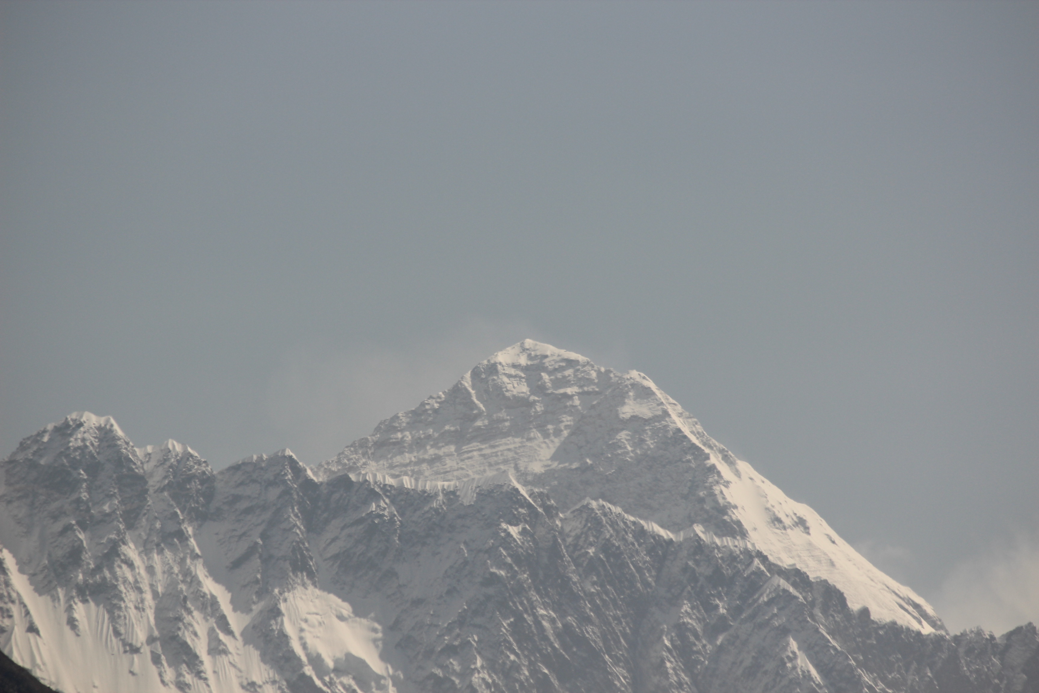
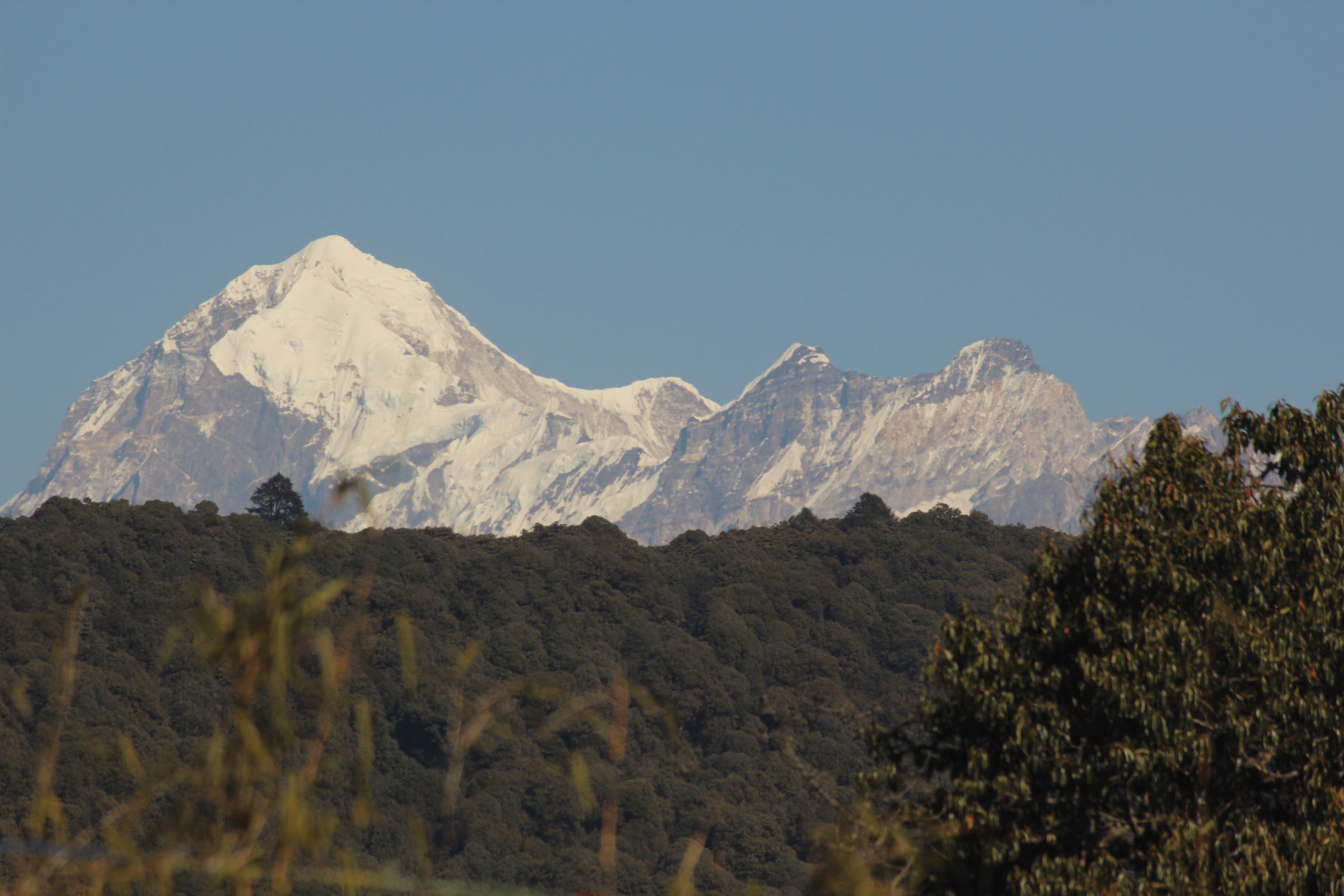
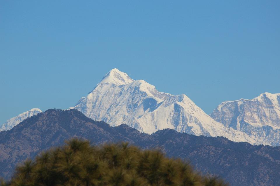
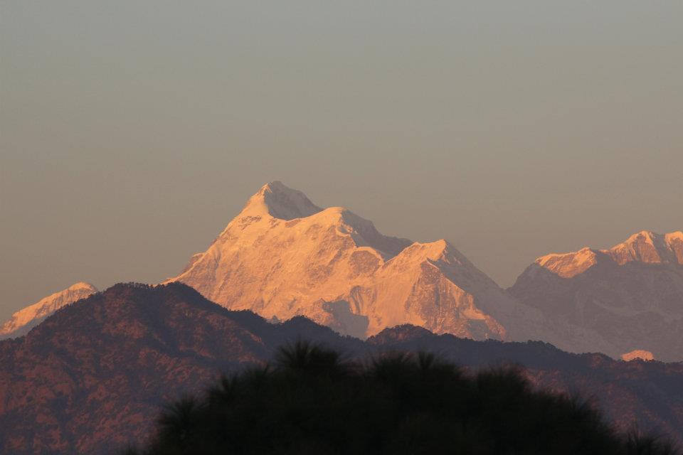
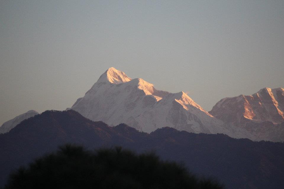
Mt Everest from Everest view hotel, Namchebazar

In the race of being the highest (or rather, measured as highest), the baton passed from Dhaulagiri to Kangchenjunga (now known to be the 3rd highest) and finally, Everest.

Everest has attracted its share of admirers, enthusiasts, passionates (often bordering with madness) ever since it’s discovery as the highest mountain in the world. After that, it was only a matter of time for humans to think that it had to be climbed. The first organized expedition was conducted by the British in 1921. It was the first time, George Leigh Mallory (whose mysterious disappearance on the flanks of Everest, a few years later, would start debates in the mountaineering world) was on an expedition to the mountain. They climbed the North col up to 7005 m but were forced to descend. The British returned to the mountains in 1922, but were unsuccessful again. On their way down, Mallory and co. got caught in an avalanche but escaped narrowly. However, the same avalanche claimed the lives of seven Sherpa porters (possibly, the first recorded deaths on the flanks of Everest). The next expedition was in 1924, which became famous for the summit attempt of Mallory and Irvine. They were last seen to be climbing via the North col-North ridge-North-east ridge route in clear weather, apparently making good progress (as watched by their team member Odel, down below) only to be engulfed by a cloud surrounding the summit, never to be seen again. Years later, another research expedition discovered Mallory’s body at a site higher up on the mountain that triggered a debate in the mountaineering community about whether they were the first to summit the mountain rather than the first confirmed ascent in 1953.

No matter how well you plan or how lavish your resources are, as the mountaineers say even today, “It’s the mountain who holds the last card”. However, not every attempt at the mountain was as well organised as the Britishers’. In 1947, a Canadian named Earl Denman, who didn’t even have much experience in high altitude climbing, landed in Darjeeling (which is where all the expeditions in those days started from). His attempts to get a permit to enter Tibet were unsuccessful but he refused to back down. He hired a couple of Sherpas (one of whom was Tenzing Norgay) to embark on a long journey on foot, fraught with danger, all the way from Darjeeling to the foot of the north side of the mountain. They had every risk of getting captured en-route (and hence, jailed, as they were travelling without a permit), but kept moving. They reached upto a certain height (quite remarkable considering their resources and prior experience) but were forced to return. Fortunately for them, they were able to return to Darjeeling safely. Later, in an interview, Tenzing said that he knew that the plan was “foolhardy”, but even then, he couldn’t resist the invitation of Denman, mostly because of his own urge to climb the mountain!

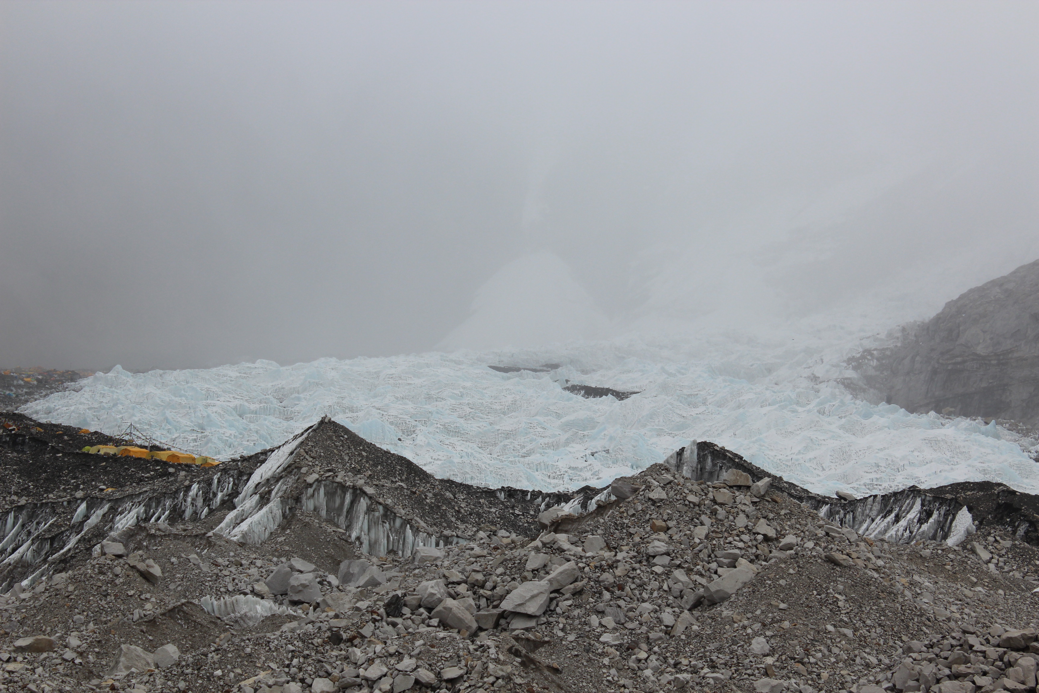
There were two other unsuccessful expeditions in 1933 & 1936 and then the Second World War put a stop to all that. Access to the mountain from the north was closed after Chinese occupation of Tibet in 1950. Round about the same time, Nepal opened its doors to the foreigners and all the focus shifted to the southern flanks of the mountain. Back then, unlike today, every year, only one or two expedition permits were granted by the Nepalese government. In an exploratory expedition from Nepal, a British team reached the southern base of the mountain but were daunted by the Khumbu ice fall. The ice fall is a moving river of ice & snow, fraught with numerous crevasses and towering seracs (monuments of ice that can rise as high as 17-18 storeyed buildings). One had to cross the dangerous ice fall in order to gain access to the higher mountain and some concluded that it was impossible to cross it. In 1952, the Swiss beat the British to bag the climbing permit. Tenzing Norgay, for the first time, was considered a full expedition member (not just a porter as in some earlier expeditions). He struck a lasting friendship with the Swiss. He and Raymond Lambert were able to climb till 8595 m (the highest by humans back then) but were forced to return due to bad weather. However, this expedition is considered extremely important in the history of Everest. This is the expedition (and the 1951 expedition by Eric Shipton, to some extent) that established a route through the Khumbu ice fall to the upper mountain which gets used even today by the climbers climbing the South col-South-east ridge route. Tenzing’s experience on the higher mountain in the 1952 made him a natural choice for the 1953 British expedition led by Colonel John Hunt, as a climbing sirdar (the Sherpa leader who leads all other Sherpas in an expedition). It was a race among the nations to install a man on top of the world. After the failure of the Swiss, the British felt it was their last chance in 1953 before anyone beat them in the race. A huge number of porters and Sherpas were employed in the expedition to ferry loads & to establish a route up the mountain. Tenzing was employed as the climbing sirdar because he was the sole person in the team who had reached the highest reaches of the mountain previously. The expedition also included members from Commonwealth nations. One of them was a beekeeper from New Zealand, Edmund Hillary, who initially thought about refusing to join the expedition, but later joined it reluctantly.

IMG_4133
Base camp tents with the Khumbu ice fall in the background.

The first party left for Everest on 10th March, with other batches following them. After the initial set of people reached the base camp, they established a route through the ice fall. Once this was done, different teams of Sherpas ferried tonnes of supplies to camp one. In the days that followed, repeated forays were done by the expedition members up and down the mountain. It was 17th of May already. The expedition members kept an eye on the weather forecast and it turned into a race against time. They had to complete all this business before the monsoons hit the Himalayas and that wasn’t very far. By this time, the expedition leader John Hunt set up two summit teams who would make successive attempts. The first of the two selected pairs, Tom Bourdillon and Charles Evans started on 26th May from the South Col (26000 feet) for the summit. They were able to reach the south summit (about 100 m below the actual one), but had to return due to exhaustion. Problems in their oxygen kits didn’t help their cause either. The ridge that lay after that, was considered extremely unsafe to climb as it was highly exposed to the gale of winds that dashes the summit ridge. A single wrong step on that narrow ridge can send one tumbling down the steep Kangshung face into death. On 27th May, the second pair comprising Hillary and Tenzing set out for the final attempt at the summit for this expedition. On their way, they came across a 40 feet high vertical rock face, which would later be known as the ‘Hillary Step’. They had to climb the face to reach it’s top. After that, it turned out to be a series of low bumps of snow and ice. They kept crossing them one after another till they reached a point where there were no slopes higher above and they could have glimpses far into the dry Tibetan plateau on the Northern horizon. It was 29th May, 1953.

After their successful ascent, Hillary returned to Kathmandu to know he had already been bestowed with the KBE of the British empire. Here too, amidst success, it was apparent that the color of skin probably had played a role as the same title wasn’t showered upon Tenzing. In the years that followed, immense speculation ensued around who, among the two, actually set the first foot on Everest’s summit. Different camps had their own opinions and they put forward reasons to support them. The immense pressure of media coverage led to a point where Tenzing almost repented the act of climbing the mountain, which the Sherpas regarded as Goddess mother of earth (this is supported by words of Jamling Tenzing Norgay, Tenzing’s son). Finally, Hillary and Tenzing signed an agreement that said that no one would ever disclose who, among the two of them, actually was the first to set his foot on the summit.

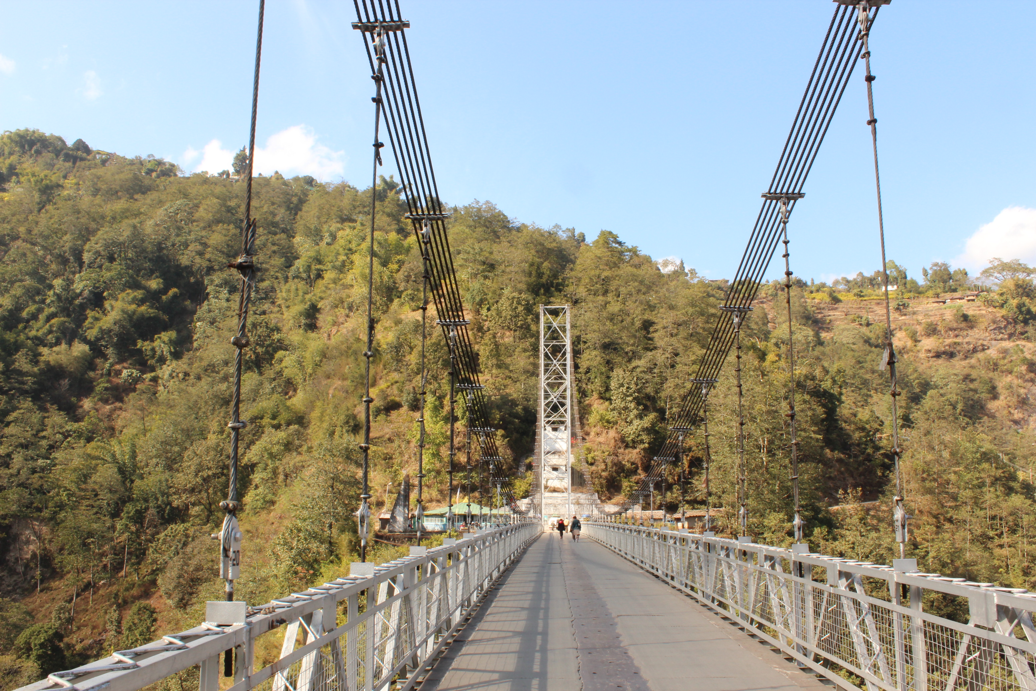
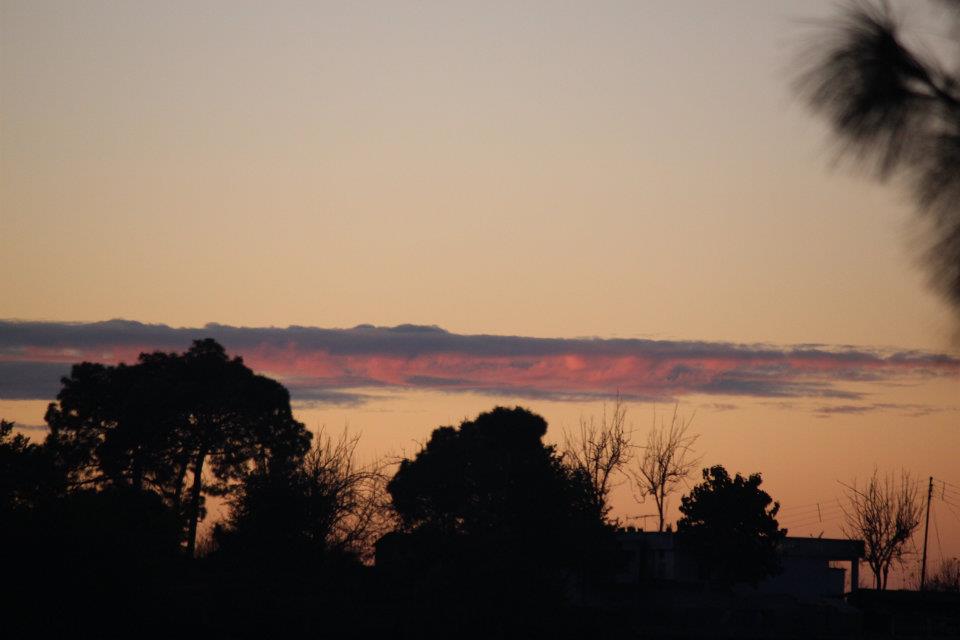
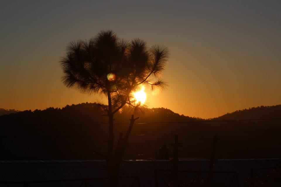
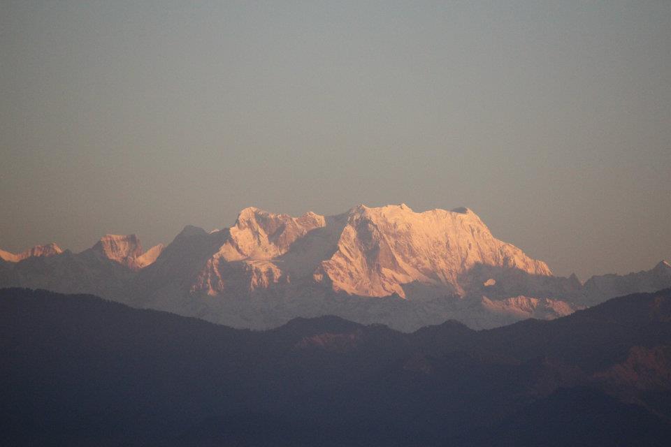
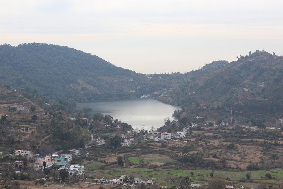
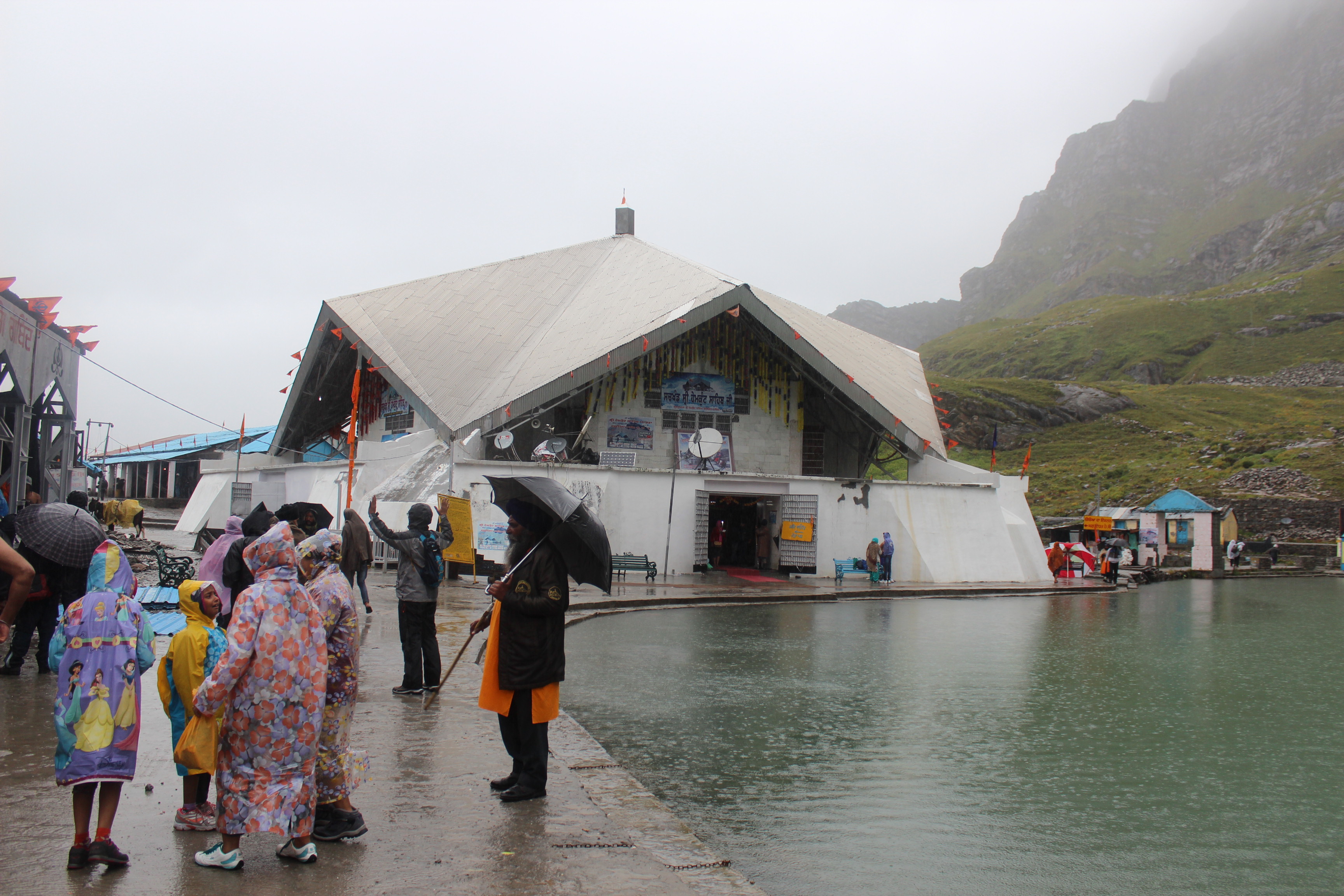
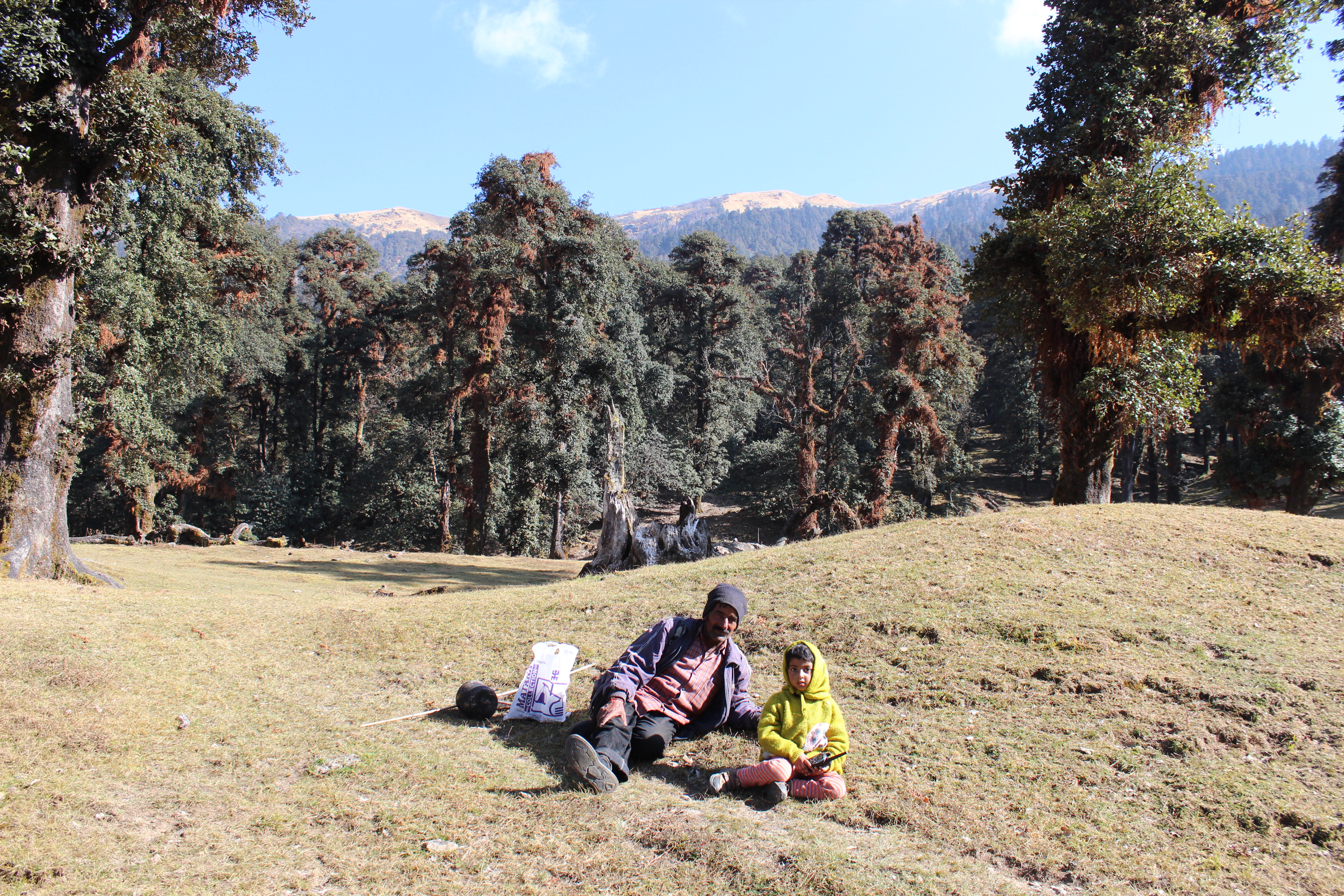
Coming back from the pages of history, its not only mountaineers that Everest cast it’s spell upon, but also on mortal beings like me. So far, even after visiting so many places in the Himalayas, I haven’t seen “the mountain” with my own eyes. I haven’t even visited the country that is the home of about half of the 8000-ers (peaks above 8000 m) of the world, Nepal. The name “Everest” fascinates almost everyone in this world at some level. The countless romanticism, adventure, awe & mystery that surrounds the mountain, makes it a favorite destination for climbers, trekkers & normal tourists alike. “Because it is there” said George Leigh Mallory, when asked by an American reporter about why was he obsessed about climbing Mt Everest. That explains why the swarm of climbers and trekkers that head for it every year, embarking on what can be called the international Himalayan trekking highway – aka the Everest Base Camp trail.

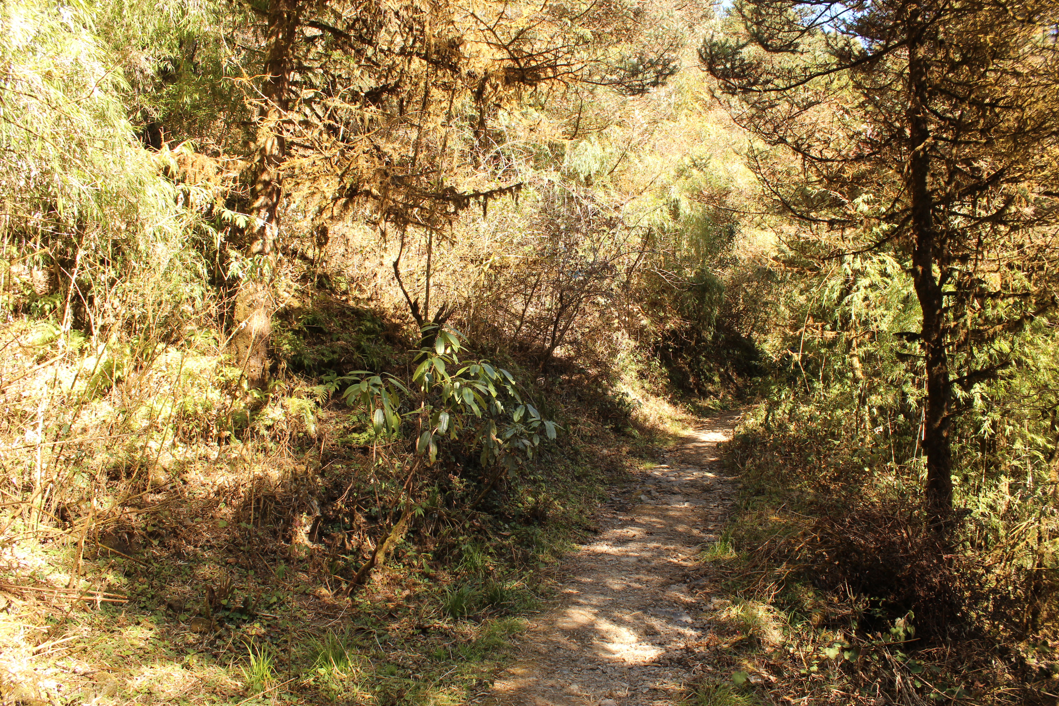
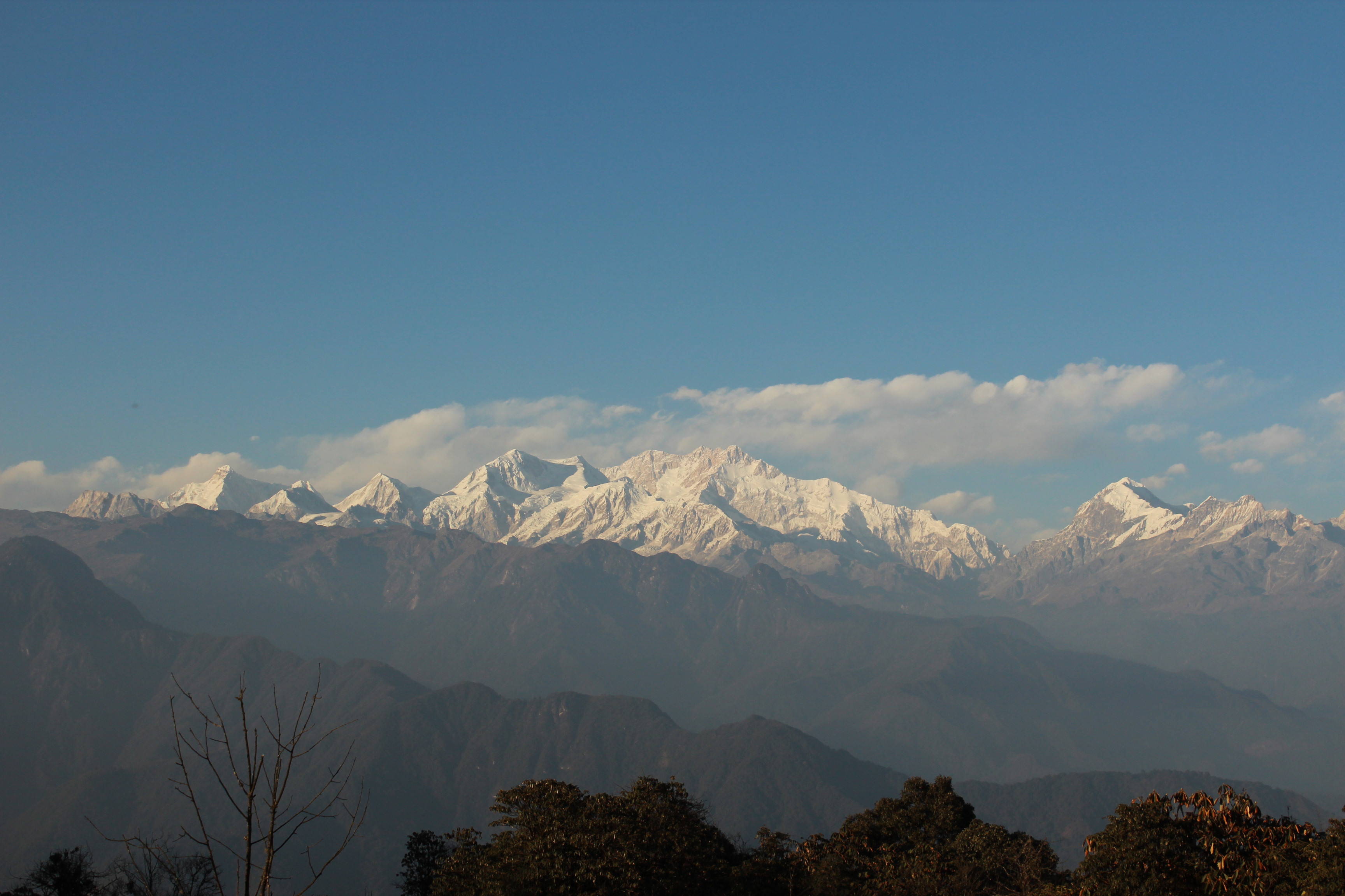
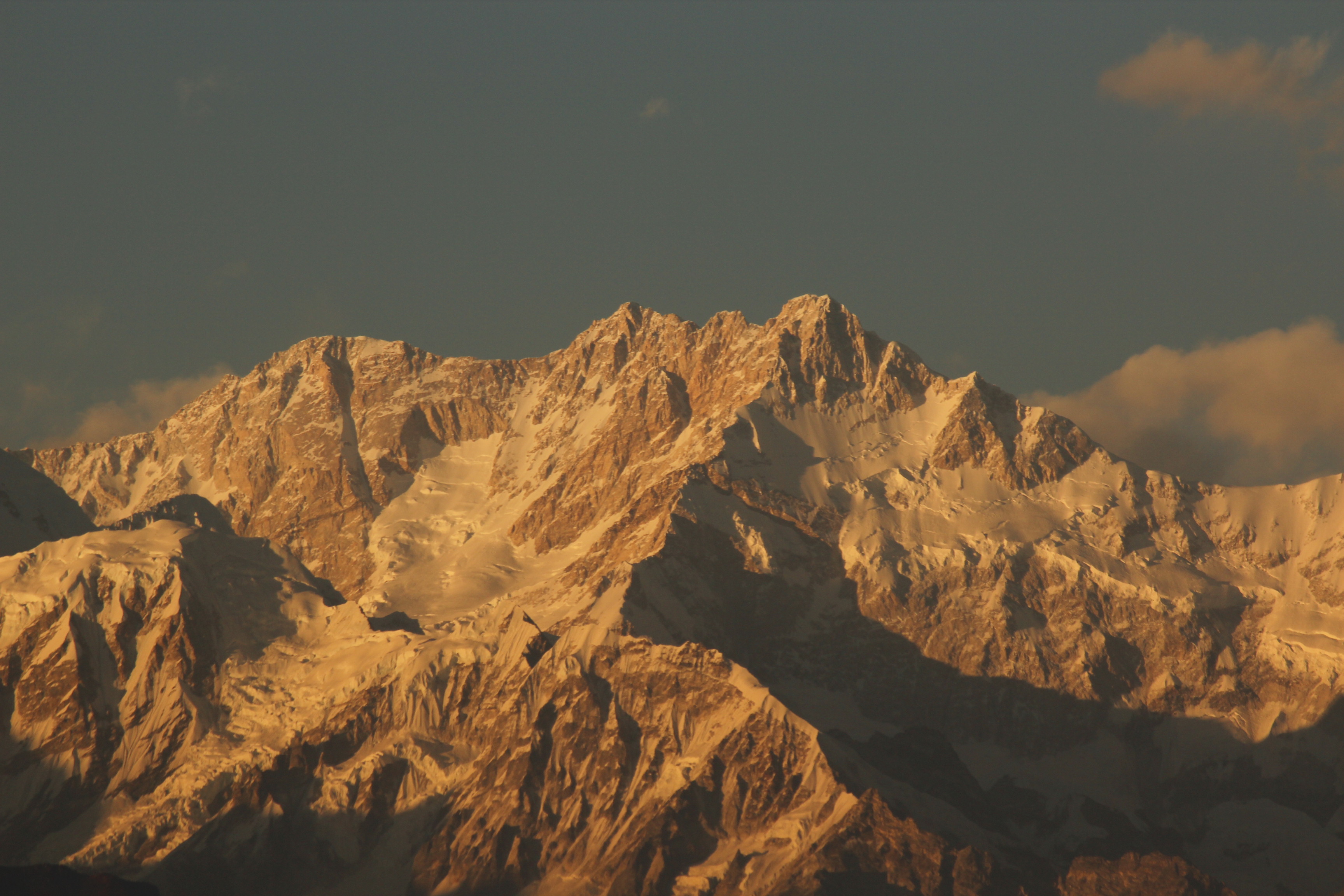
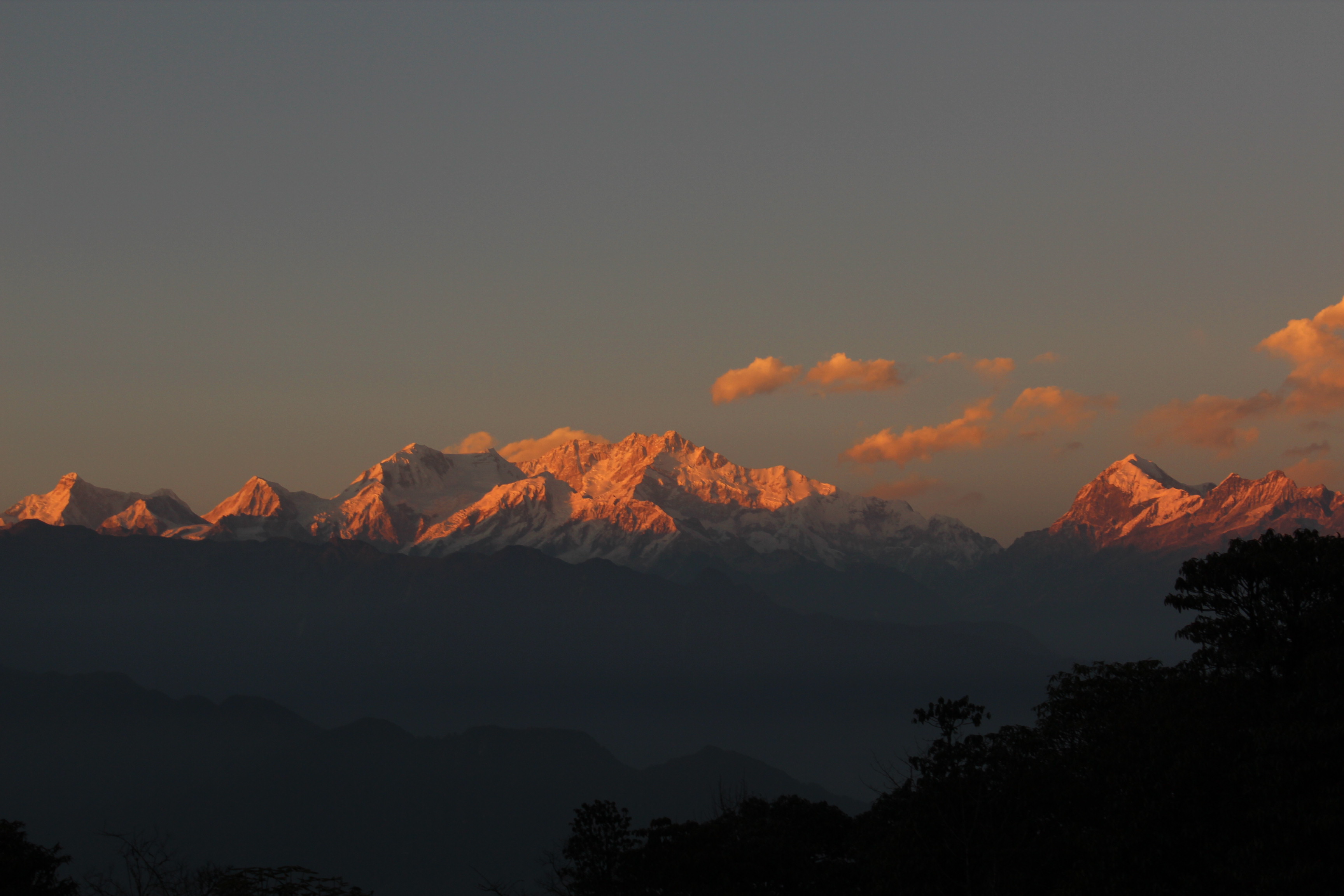
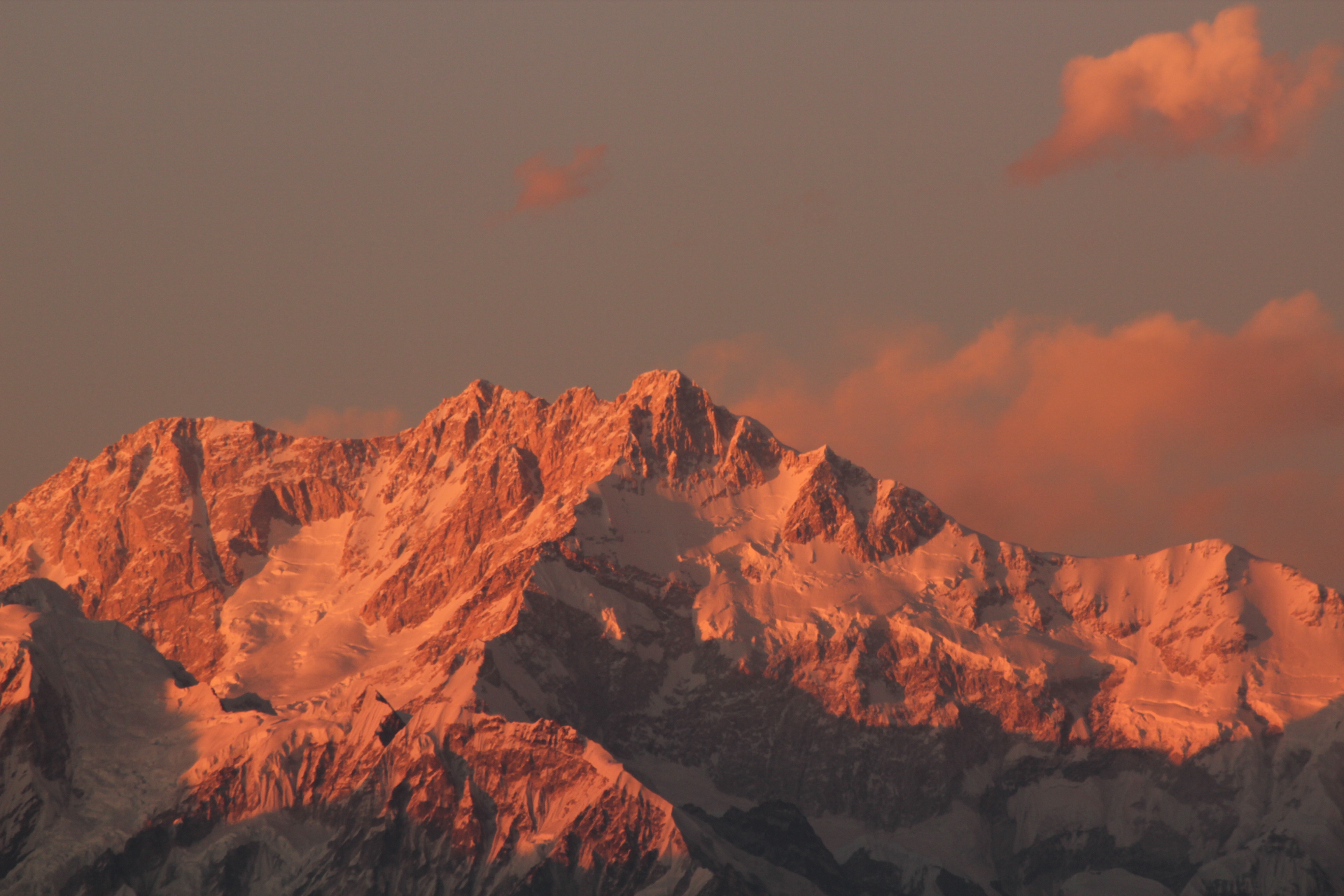
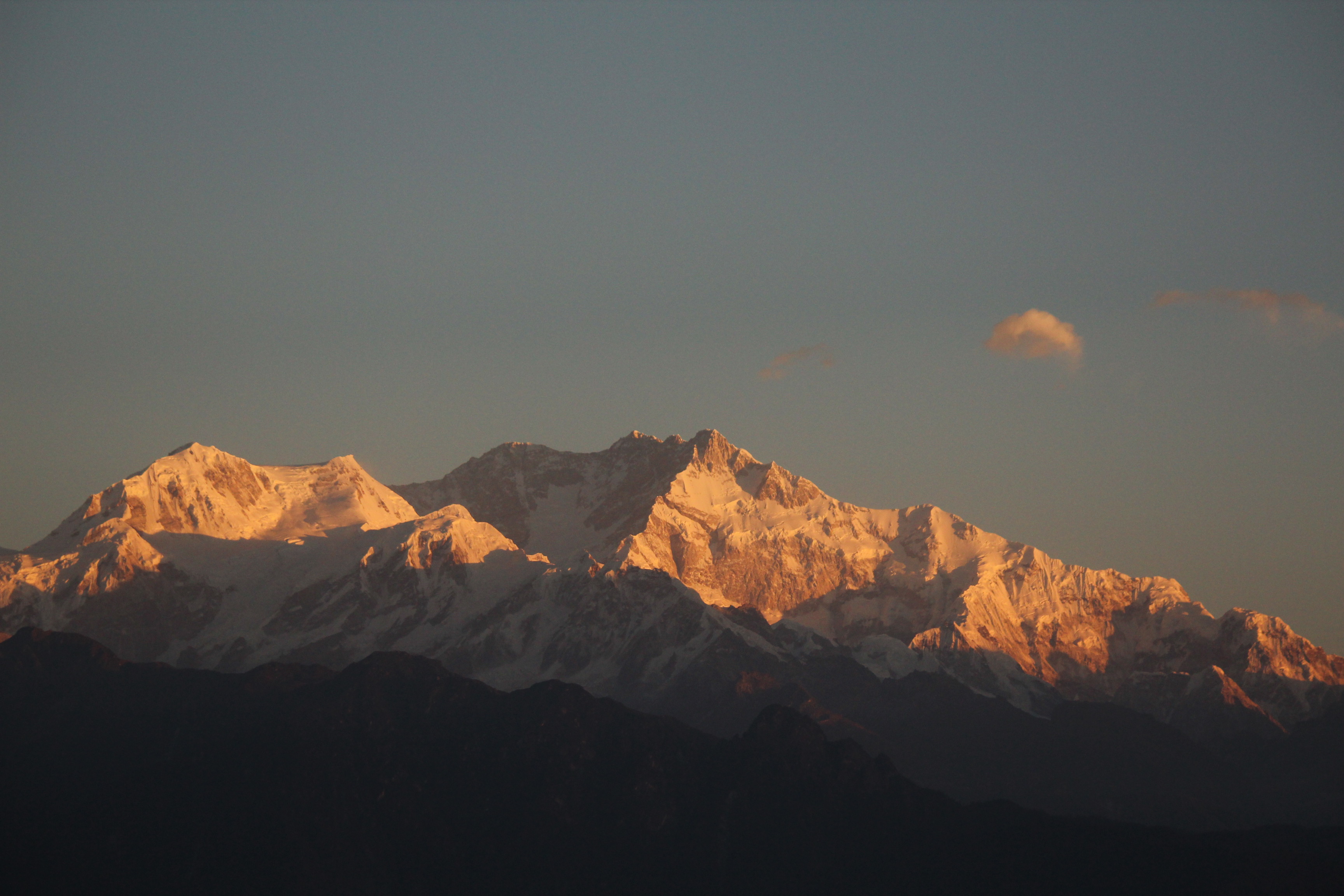
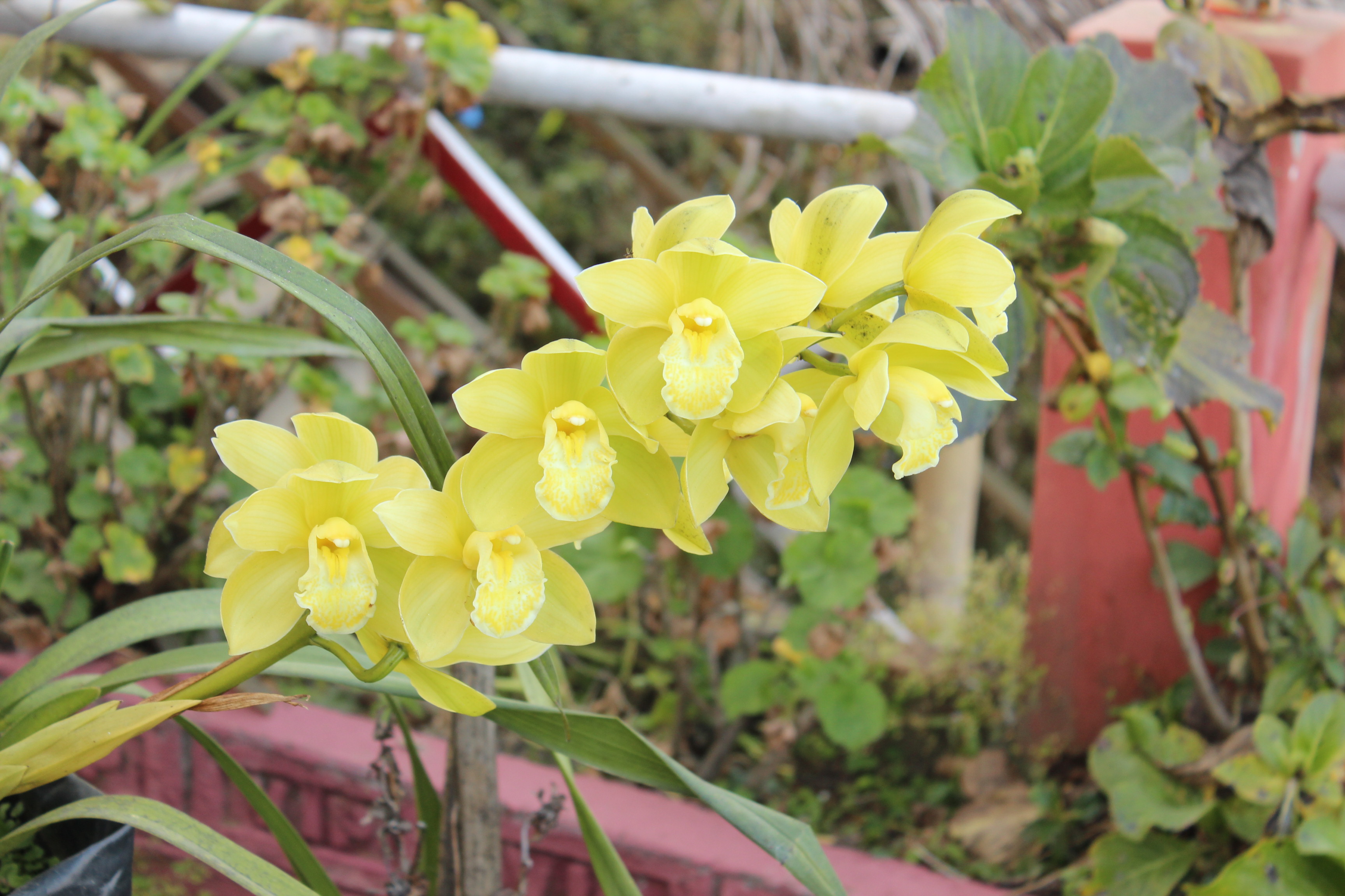
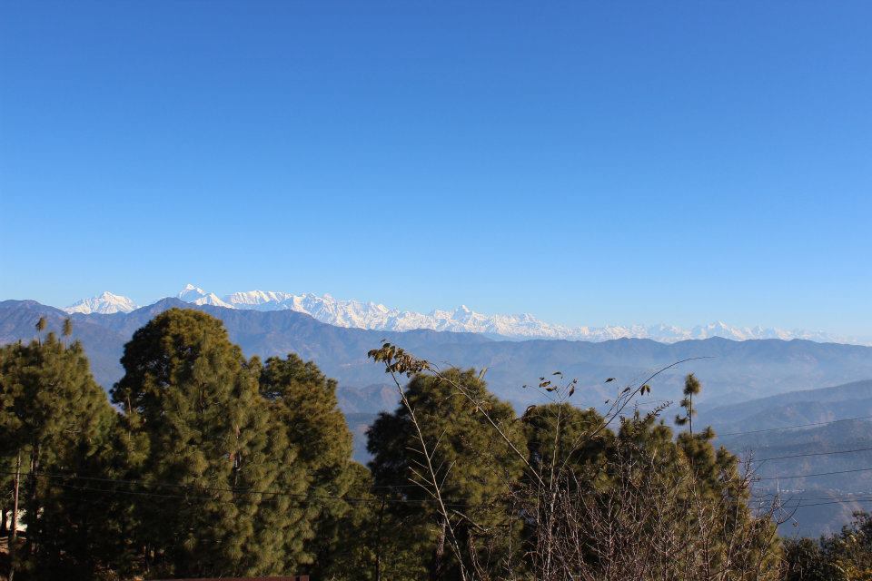
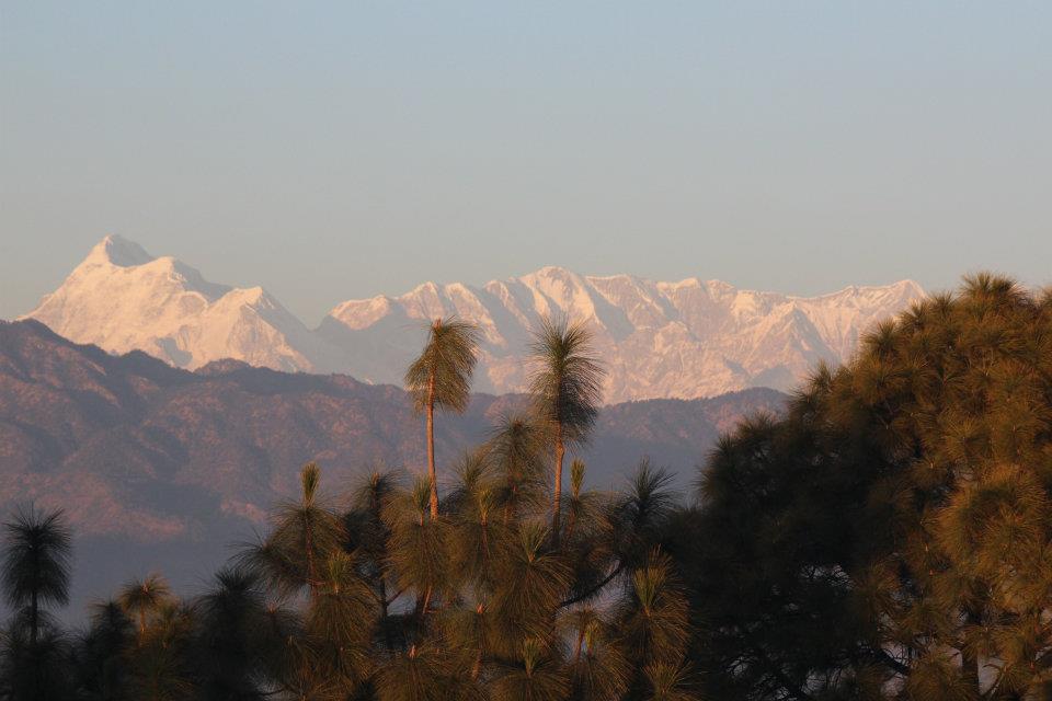
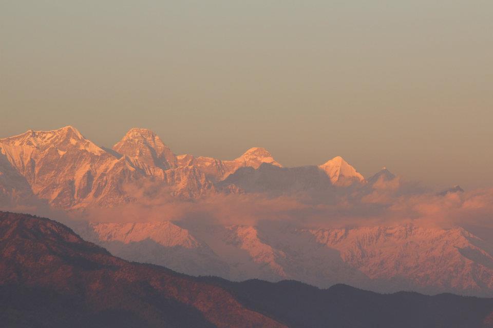
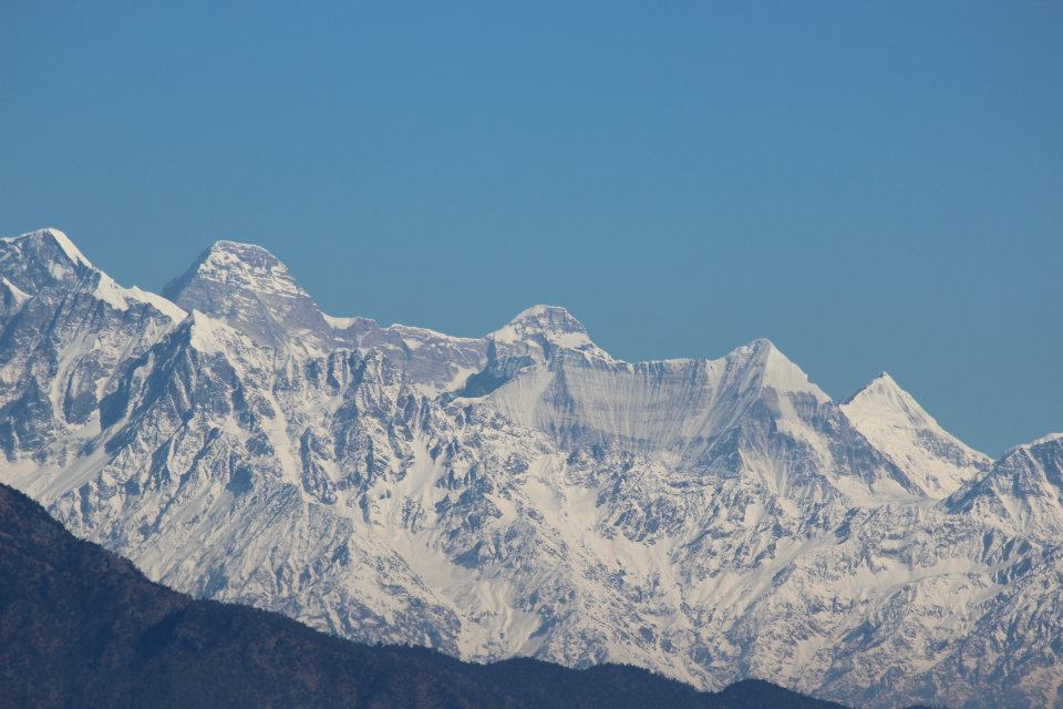
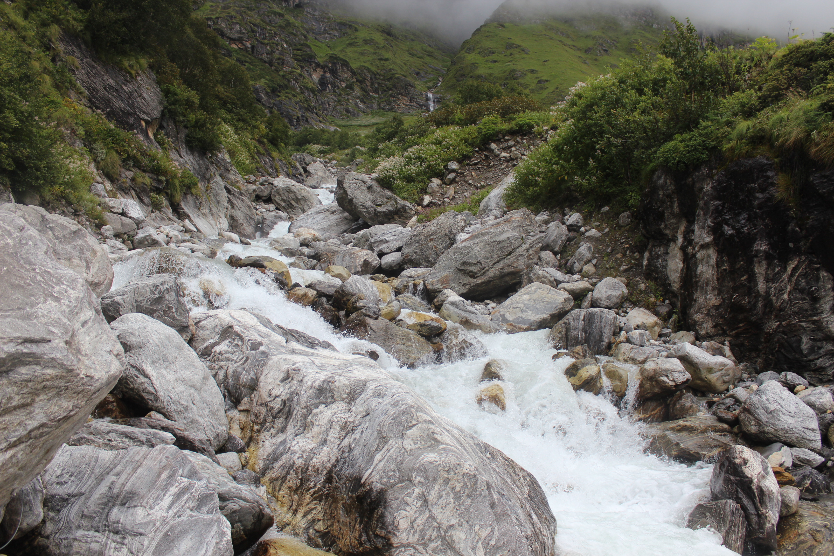
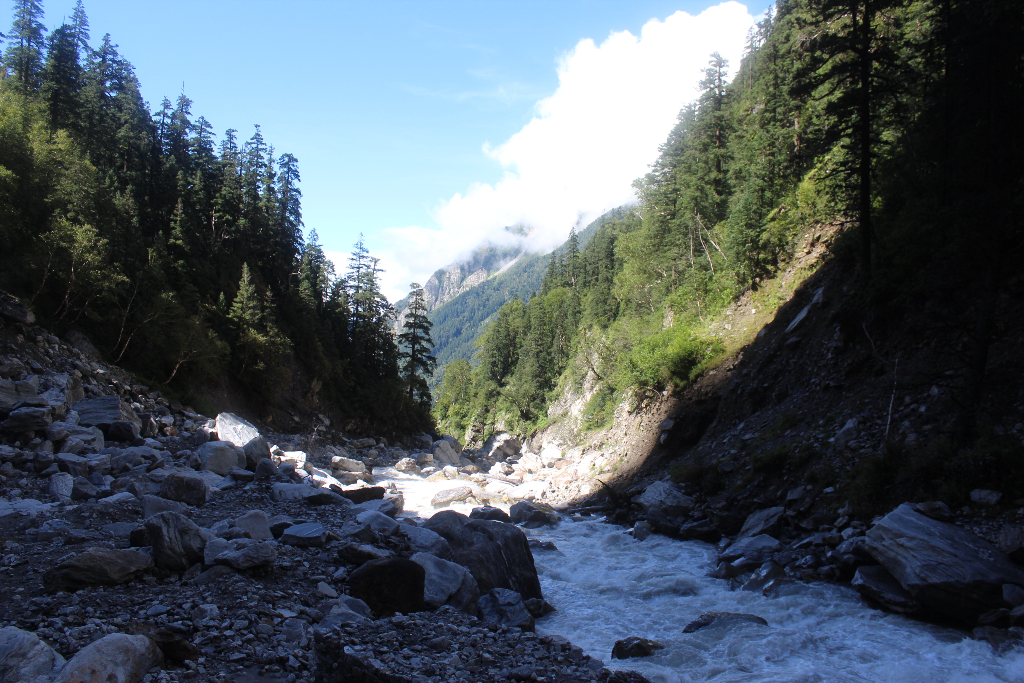
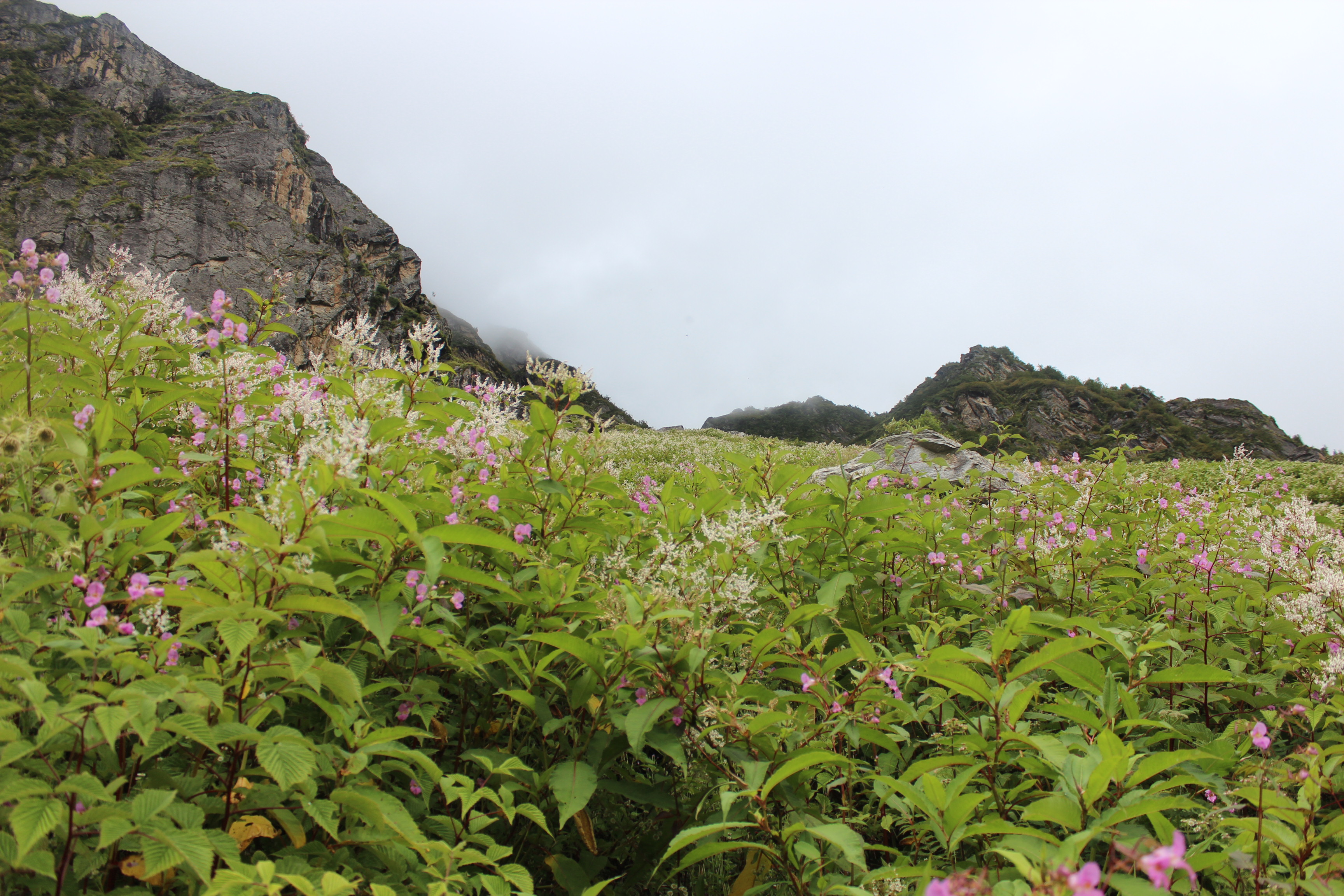
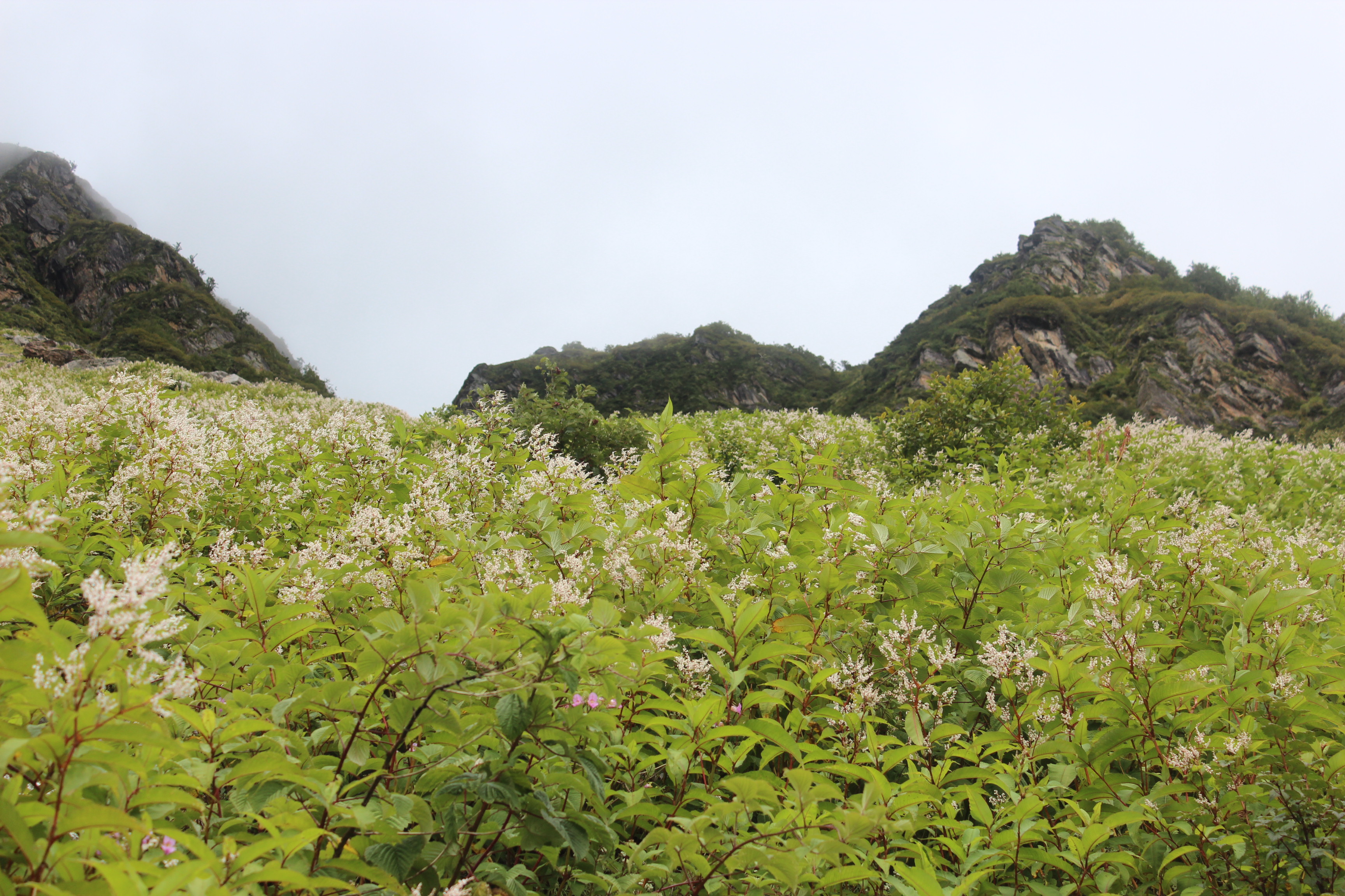
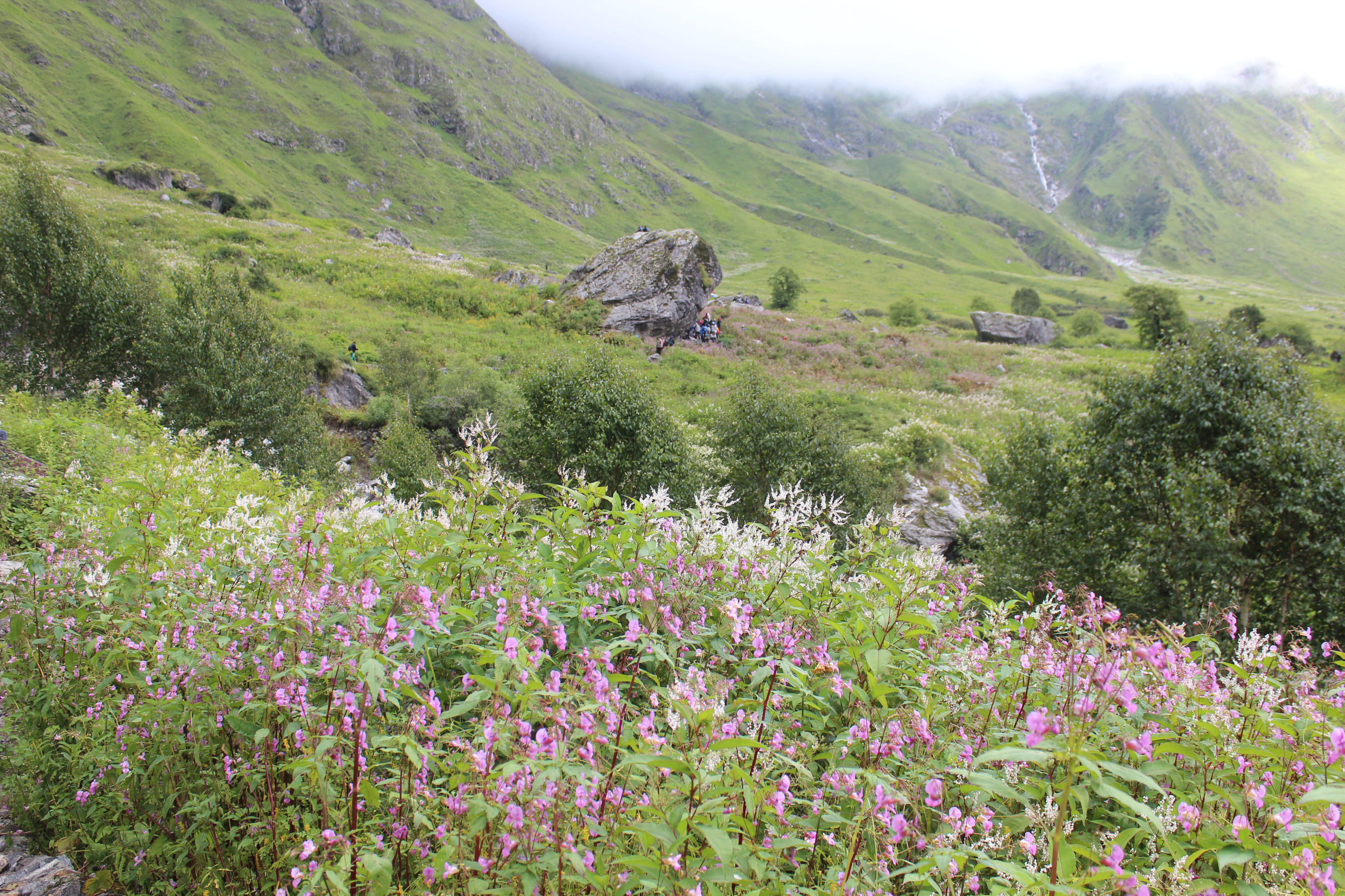
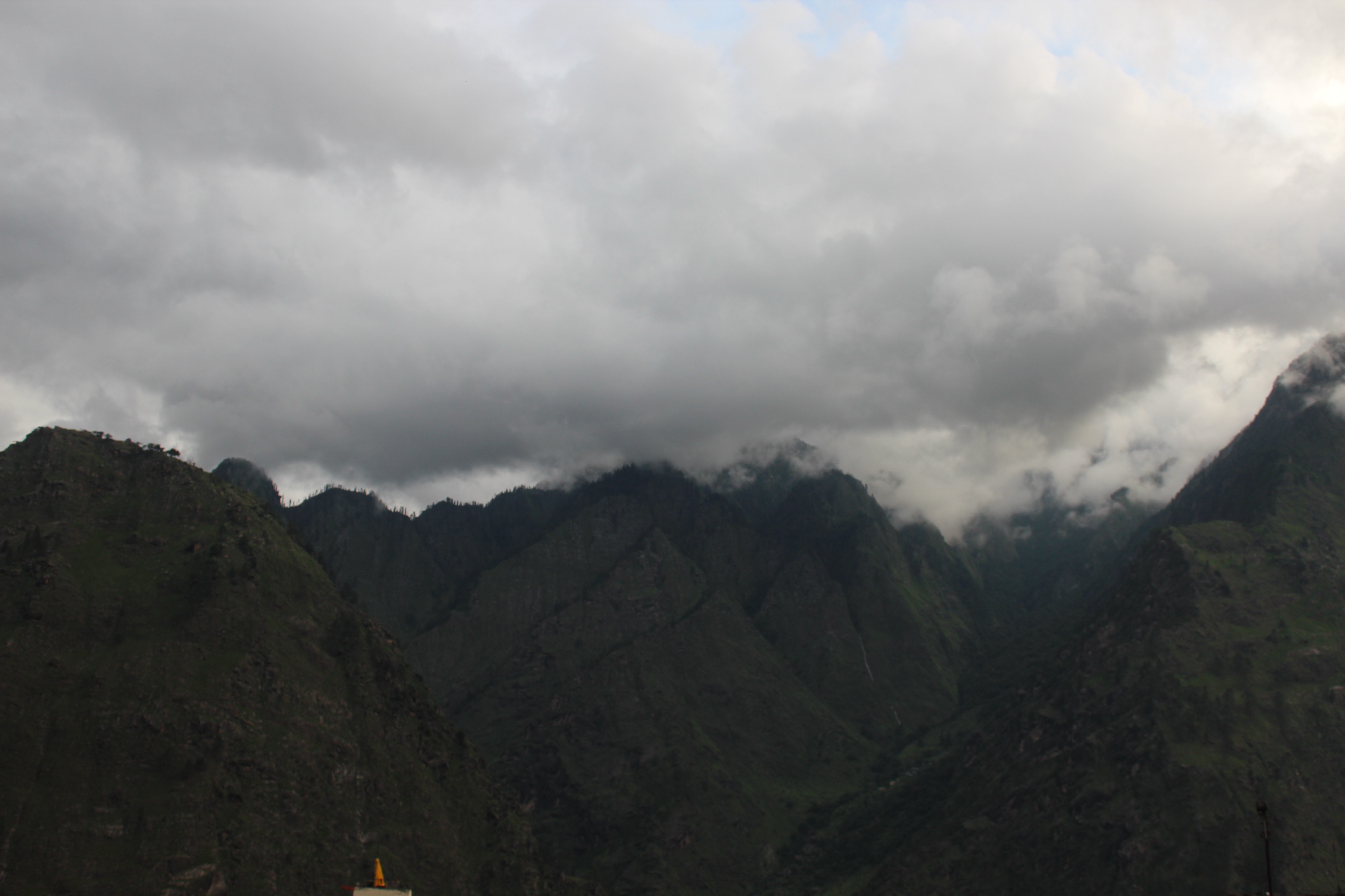
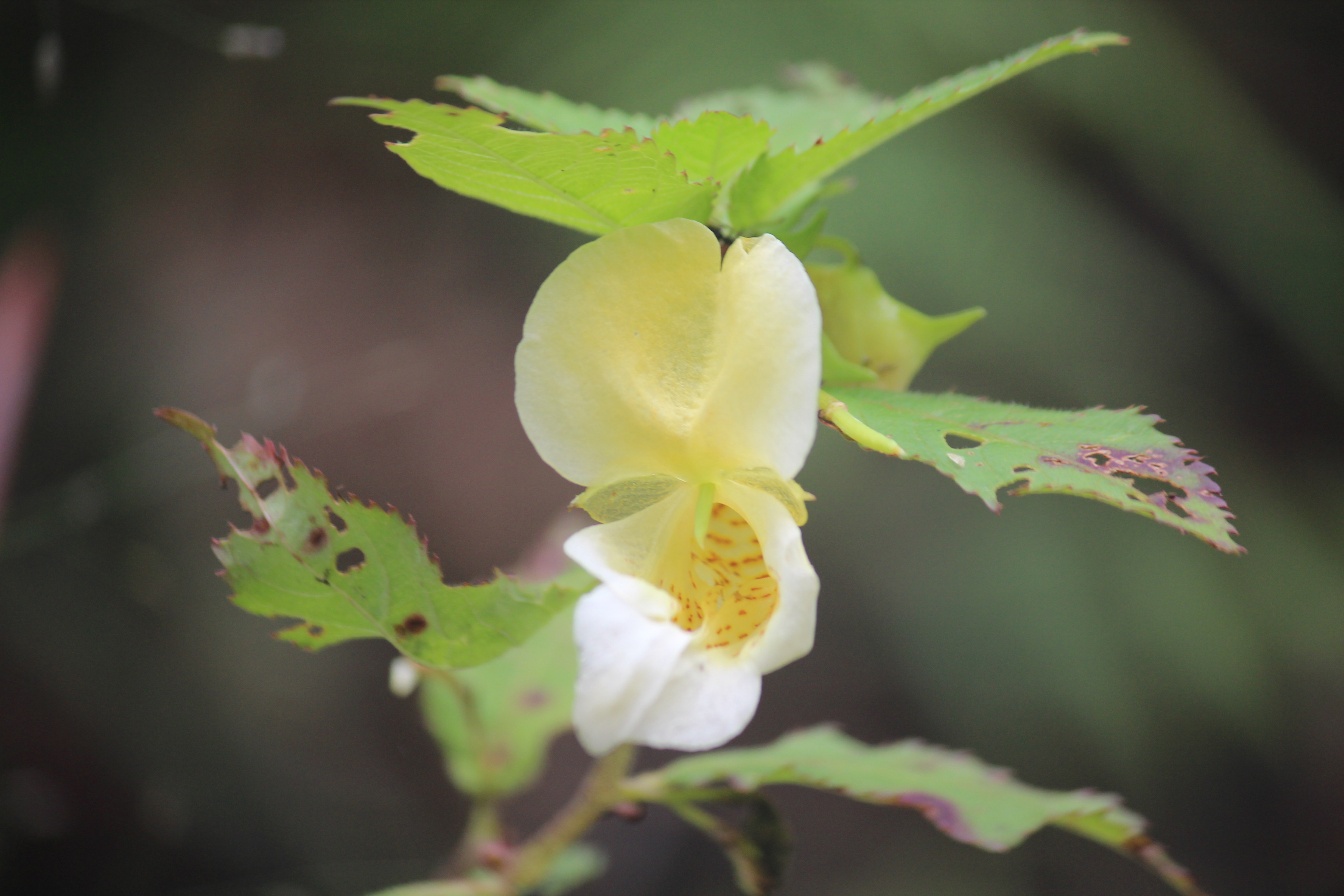
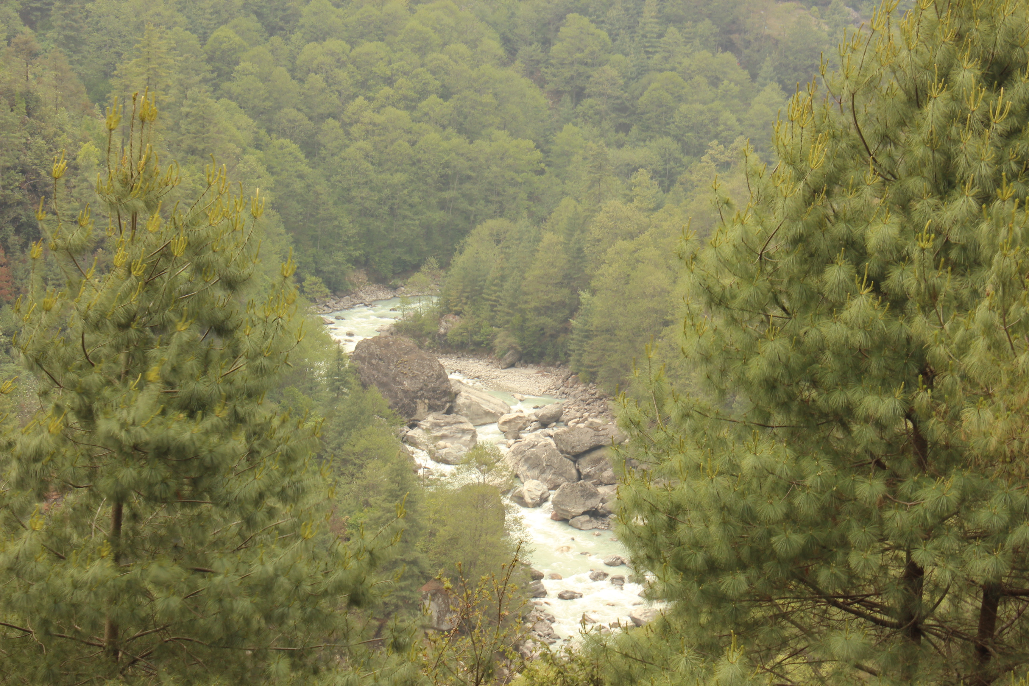
Though Everest hogs the limelight and is the center of discussion in everything about this route, it would be unfair to say it is the only attraction. Truth be told, Mt Everest gets to be seen the least in this entire trail. The best view of it comes from Kalapathhar, only peeping from behind the ridges of other mountain peaks that are in front. But the beauty of this route is the trail itself & the varying surroundings it leads you through with flora and fauna that changes drastically with altitude. The splendid colors of Rhododendrons in the forests of lower reaches, the dancing waters of Dudhkoshi that has its origins in the glaciers in the upper reaches of the Everest region, the magnificent views of the mountain peaks of Ama Dablam, Thamserku, Lhotse, Nuptse, Kangtega, Kusum Kangru and countless others, the monasteries dotting the valley & the Sherpas.

IMG_3873
Everest calling – the Doodhkosi river flowing through the gorges

Hence, the preparations started – both physical and mental and it was a long one. In a series of blog entries that will follow, I’ll try to tell the story of getting to the feet of the mountain, the glorious views along that trail, the thicks and thins of that journey. Stay tuned.

The preparation

In the land of the Chogyals – part 2

Part 1

We were very close to the territory of Mt Kanchenjunga, but we couldn’t see any of the members of its family from Okhrey because they were hidden behind the hills around us. It was as if they were calling us to say “just a bit more and we’re waiting for you round the corner!”. That was how we felt as we moved closer to Hilley. The road to Hilley went through dense forests of Rhododendron trees (known as Guras in local language). How beautiful must be these rides during the months of March and April when flowers are in full bloom. As Hilley came closer, members of the KanchenJunga family started peeping out in the backdrop of the crystal blue sky.

IMG_3483
Mt Pandim – Okhrey

We got down at the gate of Varsey Rhododendron sanctuary. The guard at the gate checked our identities and after paying the nominal fees, we were allowed to enter the sanctuary. The trail was an easy slope that went up gradually from Hilley right up to Varsey through dense forests of bamboo, Rhododendron and other trees. This sanctuary is the home of the rare species of Himalayan Red Panda, but one has to be extremely lucky to get glimpse of these creatures and we were certainly not so. Though one gets to see glimpses of the Kanchenjunga range at Hilley, but they don’t make an appearance during the entire walk of 4.5 kms till one reaches Varsey.

IMG_3490
Varsey Rhododendron sanctuary

On our way, we met the caretaker of Guras Kunj (our place of stay at Varsey), who was coming down the trail to go to the local markets of Hilley to get some raw materials, spices and other items for cooking. He asked whether we were okay to have egg curry for the lunch and chicken for dinner. A question to which we answered in the affirmative gladly. Then came the disclaimer “It will take about 2-3 hours for me to get back and I hope you won’t mind helping me with the cooking as I’m a loner in the huts of Guras Kunj!”. As he asked the same question repeatedly, a strong odour of alcohol explained the drooling accent and the frequency. We already knew that facilities were merely basic at the tourist hut at Varsey, but actually it would turn out to be much worse. But we didn’t care much at that moment and moved on. Finally, the forests yielded to an open grassland and we saw the tourist hut. It was located beautifully, but wore a deserted look. Once we turned our heads to the left, we were awestruck with a wide panoramic view of the Kanchenjunga range (“The sleeping Buddha” as it is called in its entirety).

IMG_3526
The Sleeping Budhha – the Kanchenjunga range, Varsey

Camera shutters went on a spree. The sky was crystal clear with mild traces of cloud floating way above the huge Kanchenjunga massif. Though it was still afternoon and the sun was high up in the sky, the chill around was quite strong, but the warmth was pleasant, which made it comfortable. We realized that this to go soon after the sun goes down. We went inside the tourist hut to have a look at the rooms, but were disappointed. There was no arrangement of hot water, so bathing was out of question. Even the blankets were not enough to keep us warm even if we went to sleep with all our warm clothes on. But that’s something to worry at night when the time comes. The caretaker returned with the raw materials and cooking ensued. We were already starving and finally, some of our family members had to lend their hands to have the food ready. By the time we were at the dining table, we were starving and the warm egg curry & rice vanished in no time! Once the hunger was satiated, the entire evening was at our disposal and we went out to venture the nearby pastures and slopes. Lines of hills covered by dense forests gradually went down the valley till they rose again on the other side of it and ultimately merged into the thick layer of snow and glacier coming down the slopes of majestic Himalayan peaks.

IMG_3565
Mt Kanchenjunga at sunset – Varsey

Evening sun started to turn yellow as the sun started its journey to the west. It was the time of the day when colors add to the drama that gets played out on the snow-clad peaks. Every moment appears like a unfolding scene. Successive shots of camera gives a different shade of color.

IMG_3588
The Kanchenjunga range at sunset – Varsey

In front of our eyes, the peaks started to turn gold and then red. Sunlight disappeared from everywhere in the nearby hills and the forests posed nothing more than a dark outline but red sunlight still washed the slopes of the Himalayan peaks. Mt Kanchenjunga truly appeared as the leader of all wearing the crown.

IMG_3592
Mt Kanchenjunga at sunset – Varsey

As the sun went down, the wind chill forced us inside the tourist hut. There wasn’t anything to do in the darkness except to wait for dinner and after that, we reclined into our blankets. We all shivered throughout the night and sleep was a distant dream. It was instantly decided that we were to go down to Okhrey, the next morning as opposed to staying at this place for another night, given that Kanchenjunga obliged us with the views on the first day itself.


IMG_3621
Mt Kanchenjunga at sunrise – Varsey


Stars still studded the sky when we woke up early in the next morning. Our endurance in the biting cold and patience was rewarded when the sun came out of the previous night’s sleep. After the morning sunset, we got ourselves fresh and headed down to Hilley and then a jeep took us to Okhrey where we spent the next night.

The next day we were headed for another picturesque town in West Sikkim, Bermiok. It is another town at the foothills of Kanchenjunga and we enjoyed our stay here at the comfortable hotel.

IMG_3700
Bermiok

The next day, a short excursion took us to Singshore bridge, the highest suspension bridge in Asia.

IMG_3769
Singshore bridge

From Bermiok, out next stop was Borong in South Sikkim. One the way, we went through Rabangla, which has a park with a huge ornate statue of Lord Budhha.

IMG_3791
Rabangla

Borong was a cosy stay nestled in the hills of South Sikkim. The couple of days we stayed there were highlighted by morning and evening walks down the mountain roads. It was 31st December, 2015 and the year’s last evening ended with a wonderful sunset amidst the Himalayas.

IMG_3839
Borong at sunset

Goodbye Sikkim, but its only a mater of time till we meet again!

Part 1

In the land of the Chogyals – part 1

Part 2

My stay in Delhi region meant proximity to the Western Himalayas. Hence, most of my Himalayan escapades has been to the regions of Garhwal, Kumaon and the state of Himachal Pradesh. My counterparts in Kolkata did the other way round as for them, visiting the mountains of North Bengal and Sikkim were easier. As a result, the likes of Kedarnath, Neelkanth, Chaukhamba, Trishul, Nanda Devi, Panchachuli and other Western Himalayan peaks were more familiar to me. Over the years, I’ve watched them with awe but one peak has stayed out of my views, Mt Kanchenjunga (or Mt KangchenDzonga, as some call it). It is the third highest peak in the world after Mt Everest and Mt K2 (Mt Godwin Austin). In my childhood and during my college days, I’ve had a brief view of it, but it was from a long distance from the hill station of Darjeeling. The state of Sikkim, in a way, lies at the footsteps of this great mountain.

Sikkim has been an independent kingdom since long, nestled between the neighboring kingdoms of Nepal and Bhutan in its western and eastern frontiers and India lying at its South and Tibet on its northern frontiers. It has been subject to invasions from these kingdoms. While they came to conquer or overrun its territories, they also left their influence in its culture and religion. The British also looked at it as a transit route to build trading relations with Tibet. An offshoot of the ancient silk route (a long trading route that originated in China, ran through the upper regions of the Himalayas into the markets of Central Asia) also passed through Eastern Sikkim. Over the years, the British had a sweet and sour relationship with the Chogyals (the kings) of Sikkim.  They protected the kingdom by entering into treaties and defending them from the Gorkha invasions from Nepal, but to the other extreme, they ended up arresting the Chogyal and his wife when they came to Kolkata for negotiation. Later on, the relations improved somewhat and during the reign of Sidkeong Tulku, Sikkim obtained sovereignty from the British Monarch King George. Guarantees of Sikkim’s independence were later transferred to the Indian government in 1947 with India’s independence from the British rule. India controlled its defense affairs. During the Sino-Indian conflict of 1962, conflicts occurred at the Nathula pass (one of the passages to Tibet) and after the war, the route was closed. Later on, in 1975, Sikkim merged with the Indian union after a referendum.

First time we planned to visit Sikkim in 2008 but it was aborted at the last moment due to some emergency. After that, we visited many places in the Himalayas but Sikkim evaded us until the winters of 2015. As a part of our 2 week vacation towards the year-end, we planned to visit Sikkim for a week, followed by another week at my home town Kolkata. Two families (mine and my brother in law’s) embarked for Sikkim. They started a day earlier and stayed at Darjeeling for a couple of nights. We started a day later from Delhi by morning flight. Winter was starting to take its grip on Delhi. As we left our home for the airport, the air was chilling. Fortunately, there wasn’t any fog and that meant, our flight was on time. As soon as we reached heights, the Himalayas appeared on the northern horizon on a clear sky. We could easily identify the peaks of the Garhwal and Kumaon regions. they gradually gave way to the Nepal Himalayas. Somewhere, amidst these high peaks, Mt Everest must have made its appearance but I couldn’t identify it. Finally, Mt Kanchenjunga made its appearance with its siblings. The plane started its descent right after that and we touched Bagdogra airport at about 12 PM.

Bagdogra is a small airport. We went towards a counter where passengers were being allotted pre-paid cabs for different destinations into the Himalayan towns. We had to go towards Teesta Bazar and onward to a place called Bara Mangwa, a quiet place nestled in the hills around Kalimpong. However, we weren’t lucky and ultimately, we had to take cab for Siliguri and from there, we boarded another and by the time we were on our way towards Bara Mangwa, the sun was already bidding goodbye. After Teesta bazar, we turned left to move upwards. By that time, it was pitch dark and the cab was climbing the narrow roads with just its headlights on. We reached the lodge at around 7 PM. After dinner, we quickly resigned to our blankets and immediately sleep took control of us.

The next morning, we woke up to bright sunshine with clear skies.

IMG_3449
Bara Mangwa

The home stay at Bara Mangwa was cosy, but we didn’t have enough time to enjoy, given the late hours we reached yesterday. Today, we had to leave early for Jorthang, an important junction in Sikkim. My brother-in-law’s family would meet us there and together, we were to start for Okhrey, a quiet town in West Sikkim. That was to be our destination for the day. After breakfast, we took a stroll nearby as we waited for our vehicle to arrive.

IMG_3446
Bara Mangwa

I hoped to visit an orange orchard, but I was told that the fruits were already plucked from the trees for the season. The chill of the morning breeze reminded us of our proximity to the Himalayas. Finally, we started off for Okhrey. On our way down, we visited an orange orchard, where, luckily, some of the trees still bore the fruits.

IMG_3453
Oranges

The plush green trees were dotted with oranges all around us. It was the first time in my life, I was seeing oranges in the trees. Like apple in the Western Himalayas, orange is a distinctive fruit in its Eastern flanks. The whole region consisting of Darjeeling, Kalimpong, Sikkim and the neighboring kingdom of Bhutan is famous for oranges and its derivative products. We then moved along till we reached Teesta Bazaar. From there, we had to turn left, but we went towards right to reach the confluence of the rivers Teesta and Rangeet, the two main rivers of Sikkim.

IMG_3460
Confluence of Teesta and Rangeet rivers

Teesta originates from the glaciers of Tibet in the regions north of Sikkim, then it flows down towards Darjeeling. Rangeet has its origin in West Sikkim and flows till it merges with Teesta near Teesta Bazaar, which then flows down the slopes to reach the plains of West Bengal before entering Bangladesh. It was a picturesque place with crystal clear waters of both the rivers flowing through the gorges of the mountains which are covered with dense green forests on their slopes. After spending sometime at the confluence, we continued our journey to Melli, which is a town on the border between the states of West Bengal and Sikkim. It is one of the towns that exist in both the states. The Jawaharlal Nehru bridge connects the two parts of it that lie along the two banks of Teesta. After crossing the bridge, we formally entered the state of Sikkim and as soon as we entered, we were greeted with horrendous roads. This was a surprise to me as roads in Sikkim are normally good (except its Northern part which was ravaged by a strong earthquake a couple of years ago and was still recovering from it). Apparently, the road was being widened by blasting the rocks in the adjoining slopes. These are causes of environmental concern as the Himalayas in general, are a fragile ecosystem. Especially, in these Eastern parts of it, rainfall is abundant and every monsoon wrecks havoc in the hills. Blasting in these areas will make the rocks even more unstable. We finally reached the town of Jorthang at around 1 PM and met with my brother-in-law’s family.

Jorthang is an important junction in this region which roads leading to different parts of Sikkim from here. I found it to be a bustling town. We were at the bus stand. The market nearby was flooded with oranges. We didn’t wait long and boarded a jeep for Okhrey. After Jorthang, as the jeep climbed the serpentine mountain roads, the wind chill increased. We reached our stay at Okhrey by the evening. The sun was still out. This was our base, from where we would be ascending to Varsey the next day. We were nearing the reaches of Mt Kanchenjunga. It was just another night and we’d at her doorsteps. Our plan was to stay at Varsey for two nights, but the owner of the lodge at Okhrey advised us not to stay there for more than a night as the facilities weren’t very good. But, who cares, we don’t luxury in the mountains as long as basic amenities like warm water and blankets are provided. But later on we realized that his words were correct to their letters. As darkness wore on, the mountain slopes on the left lit up with innumerable lights and we were told, that these were the lights of Darjeeling. When I woke up the next day, darkness was giving its way to soft daylight, which was spreading its arms gradually, but the sun was yet to rise. The sky was illuminated with soft daylight beyond the dark outlines of hills in front. Gradually, the soft blue started to acquire a tinge of red as if someone sprayed a patch of vermilion and sun started peeping out.

IMG_3474
Okhrey

The shutters kept clicking on as the sun made its appearance in the sky. After sometime, we were ready after our morning duties to head towards Hilley, a town that is a few kilometers ahead of Okhrey. It was the place from where our short trek to Varsey was to begin.

Part 2

Chiliyanaula – a quiet abode

After our pleasant stay at Naukuchia Taal, we headed for our next destination Chiliyanaula. I first heard about it from one of my cousins Sanju da(Sanjib Ganguly, to whom I owe a lot for my limited knowledge of the Indian Himalayas). It first came up in the discussions about Ranikhet. Ranikhet is a famous hill station in the Kumaon hills but I’ve never been there. As in many other cases, when I asked Sanju da during our planning phase, he quickly pointed me to Chiliyanaula. It was barely 10 km away from Ranikhet. One could very well enjoy the famous sites at Ranikhet but stay at this quiet place which also has a KMVN rest house with picturesque views of the Kumaon Himalayas.

After a drive of about 2.5 hours, we entered the outskirts of Ranikhet. Clear, unobstructed views of The Himalayas were abound at every bend of the road. Eventually, I couldn’t resist asking the driver to stop the vehicle for a few snaps.

48
Mt Trishul – en-route Chiliyanaula 

We finally arrived at the rest house. After completing the formalities, we were allotted a room. It’s windows opened at the lawn at its backyard. As I moved out into the lawn, I was greeted with majestic 180 degree view of the Himalayan range starting at the left from the peaks of the Gangotri group, followed by Kedarnath, Mandani, Chaukhamba, Neelkanth (Badrinath), Nandaghunti, Trishul, Mrigthuni, Pawalidwar, Nanda Devi going up to Panchachuli and even beyond it leading towards the Himalayan peaks of western Nepal.

39
KMVN Tourist rest house – Chiliyanaula

We quickly ordered our lunch and moved out to the lawn to bask in the afternoon winter sun. The cold was intense but very much enjoyable in the sun and more importantly, clouds stayed clear from the distant mountains. I was pleased to have been rewarded with my decision to come here during winters (contrary to the advice of some). The room we were allotted, also had a heating system installed. I was excited but it didn’t last long when I was told by the staff that it never worked. But who cares? After all, we’re not to stay at the room for long.

32
Kumaon Himalayas – from KMVN, Chiliyanaula

The lawn at the backyard wasn’t very big. It extended as a balcony from where one could have an unobstructed view of the valley and the mountains beyond it. We sat there with nothing to do or worry about other than watch the daylight changing its angle and color. It was an act of nature that was to be witnessed only through the changing colors of the snow-capped peaks. the dazzling white in the morning, they acquired a tinge of gold as the day progressed.

42
Afternoon – Chiliyanaula

The color of fading sun gradually rubbed onto the pine and deodar forests, which gleamed in the gold. Mt Trishul appeared at a very different angle from what we saw at other places like Binsar or Kausani. The three peaks which gave its name, were clear and distinct, separate from each other. the day was approaching a phase where a drama was about to be enacted. A drama that is very familiar to me in these mountains. One needs to be prepared enough to capture it as the scenes were to enacted very fast. It’s a drama of changing colors in the backdrop of the snow capped peaks and the hovering clouds.

45
Nanda Devi peaks at sunset – Chiliyanaula

The sun started playing its role as it prepared to retire for the day. Shutters kept firing and every shot sprang up a different shade on the mountains. The rays of gold and crimson even rubbed off on the sparse clouds that floated in the sky.

47
Sunset – Chiliyanaula

As I turned from left to right, I saw the entire Himalayan range from Gangotri group in the west to Nepal Himalayas in the east, bathing in gold and crimson. Mt Trishul, which was the most prominent, appeared magnificent in the fading colors.

40
Mt Trishul at sunset – Chiliyanaula

As soon as the sun went down, the chill in the air sharpened and we retired to our room quickly.

Chiliyanaula is one of the rare locations where one gets equally good views of sunrise and sunset. In the anticipation of a wonderful sunrise, I woke up early the next day and I wasn’t disappointed. The sequence of events that were played out yesterday, just got reversed as if someone re-winded the video in the opposite direction. It started of with a dark outline of the mountain ranges in the backdrop of a sky that was just being lit up. I turned my head to the right where the sun was peeping out from behind the hills.

23
The rising sun – Chiliyanaula

It came up in leaps and bounds while the morning rays sprayed their colors on the Himalayas. First of the peaks to assume the golden crown were Mt Trishul and Mt Nanda Devi.

25
Mt Trishul at sunrise – Chiliyanaula

The golden crown of Mt Trishul made it more evident why it was named so. When I turned to my left, I saw the distant peaks of Garhwal region were also starting to wear their crowns. The most distinct of them all was Mt Chaukhamba. No matter where we go in Uttarakhand or which time of the day it is, it never misses to show up as long as the clouds steer clear.

28
Mt Chaukhamba at sunrise – Chiliyanaula

After all the colors were played out, The Himalayas wore a dazzling white look. After breakfast, we went out for the main places of visit in nearby Ranikhet – the cantonment, the famous golf course and others.

33
Mt Nanda Devi – Chiliyanaula

Ranikhet (queen’s meadow) draws its name from a local legend that Raja Sudhardev won the heart of his queen Padmini, who later chose this area as her residence. Later on, the British established the headquarters of the Kumaon regiment, which gave birth to the entire cantonment area along with the magnificent golf course (one of the highest in Asia).

37
Golf course – Ranikhet

If you steer clear of the main Ranikhet city, which is a bit congested, the rest of it is mainly the cantonment area, which largely clean, quiet and well maintained. After visiting the main sights of attraction, we came back to Chiliyanaula to witness another wonderful sunset to end the day. Chiliyanaula got etched in our memory with its solitude and magnificent Himalayan views. It was in our minds even when we moved towards our next destination Dhaulchina.

Winters in Kumaon hills – Naukuchia Taal

Work was taking a toll and whenever that happens, my mind reaches out to the hills for some solace. It wasn’t a different story in the month of January 2012 and I was eagerly awaiting a week-long break. When I initially started to plan for this, all I knew was I had to get away for a few days and I booked the railway tickets for Kathgodam quite arbitrarily. Now that the days were fixed, search started for the destinations. For a moment, it appeared to me that I have exhausted all options in the Kumaon hills. I gave a call to one of my distant cousins in Kolkata, Sanju da (Sanjib Ganguly). He’s a person to whom I owe my love for the mountains. It was his family tours which drew me towards the Himalayas. As always, he didn’t disappoint me this time either. After a few chats, we narrowed down to three places – Naukuchia taal, Chiliyanaula and Sitla (not Sitlakhet).

On a Friday night, after we came back from our office, had our dinners, picked up our bags and off we went to Delhi railway station to board the Ranikhet express for the umpteenth time. Next morning, we were at the Haldwani railway station at 5.30 AM. After completing our morning duties and applying some water to our faces at the railway retiring room, we walked out of the station, fresh as ever, to board a cab. The cab started it’s journey meandering through the congested roads and lanes till it reached the Nainital road. It was all familiar since I’ve traveled so many times through this route. “There’s the bend for the road that goes to Almora”, “Here comes Bhimtaal” – chants kept coming from my wife and daughter. After traveling down the road that surrounds Bhimtaal, the cab took a diversion that moved up the slopes. After a short hike, it came to a halt at the banks of the picturesque, big and the quiet lake of Naukuchia taal. We were right at the reception of KMVN tourist rest house. It beamed (as if to welcome us) in the bright sunlight. The chill in the winter morning wind was equally enjoyable.

2
KMVN tourist rest house, Naukuchia Taal

After the formalities, keys were handed to us. We had the entire day at our disposal. Warm geyser water aided us with some wonderful bathing and after a short breakfast with bread toast and coffee, we were ready for a boat ride in this quiet and pristine lake.

1
KMVN tourist rest house, Naukuchia Taal

Naukuchia Taal is the biggest of the entire lake system that exists in the lower regions of Nainital district and more important, its more secluded than the others. Boats were available right at the doorsteps of the rest house and three of us boarded one with trembling steps and set afloat. The water glistened like startling diamonds in the bright sunlight.

14
Naukuchia Taal

The surrounding hills were filled with plush green forests (unlike Nainital, which is shrouded with hotels). The boat splashed along with quiet strokes in the water, splitting the large sparkling diamonds into smaller ones. The warmth in the sunlight was soothing and the gentle wind with moist traces of water from the lake had a healing touch. Life was all good with nothing else to do other than soaking in the beauty served up by nature.

The next day, we woke up to a cloudy weather but it wasn’t raining. A local vehicle was to take us into a ride to some nearby places of tourist attraction. Our first destination was Saat Taal, a system of seven small lakes, about 30 minutes drive from the hotel. As the vehicle moved upwards from the hotel premises along the serpentine roads, Naukuchia Taal offered breath taking bird’s eye views from different angles.

17

The lakes of Saat Taal were nestled amongst the surrounding hills that were densely covered with forests. It’s so serene to just look around with dense vegetation to soothe our eyes. Nearby forests buzzed with chirping birds. Saat Taal is also a heaven for bird watchers but I was devoid of a lens suitable for it.

18
Saat Taal

We spent the entire morning roaming around besides the lakes and boating. Saat Taal also forms an important source of water for the lower plains of Kathgodam and Haldwani. Each one of the seven lakes (one of them was dry at that point) had a mythological tale behind it. With such surroundings, one doesn’t care about scientific reasoning but likes to believe in such tales.

As the day progressed, we headed to our next destination, Ghorakhal. It’s a place nearby that has a tea garden. As we headed towards it, clouds dispersed and a bright evening unfolded. The golden tinge in the evening sun rays added to the beauty of the sprawling tea garden which appeard as a stretched out bed of tea plants interspersed with tall trees dotting the landscape that have been planted to provide shade to the underlying tea plants.

20
Ghorakhal tea garden

Shadows started to get large as the sun prepared to bid adieu. We headed back to the rest house at KMVN. It’s been years since that day, but its etched in memory as a simple, peaceful day with rare tranquility. After dinner, we sunk into our blankets. Who knows what ChiliyaNaula has in store for us, which is where we were headed tomorrow?

The Mystic valley – Part 3

Part 2

The downpour that started previous afternoon, continued through the night and there were no signs of it abating in the morning. Our plan for the day was to go up to Hemkund Sahib, come down to Ghangria and then go all the way down to Govindghat to board a jeep for Joshimath. All that travel was to be done on backs of ponies. That was the only option for us if we were to board the train from Haridwar the next night. It sounded like an uphill task and incessant rains gave fodder to some members to contemplate dropping the idea of visiting Hemkund Sahib. The pony owners too, had that suspicion and they kept confirming with us time and again to ensure we didn’t drop the plan. Finally, we went ahead. All of us, wrapped in our rain coats, boarded the ponies (something which I always dread) and embarked on our journey.

Soon we reached the junction where the trail for the valley turned left, but we plodded upwards. Streams of rainwater kept flowing along the route and the ponies splashed along with their dogged steps. At many places, they used their own judgment to traverse the route diagonally to evade muddy potholes that were made slippery by their own excreta. Both the daughters were perched on the backs of their respective ponies, wrapped and fastened by ropes, the ends of which were held by the man who was responsible to drag these animals up the trail. The bends kept increasing as we gained heights. Numerous streams came down the slopes fed by the monsoons. Every now and then, the hooves of the ponies skid and we were continuously on our toes.

IMG_4402

Forests on the lower reaches started to fade out and gave way to bushes. Slopes of the mountains were covered by green grass. Yellow dots started to appear among them and they increased in number with height. We realized that these were Brahma Kamal flowers, something which can only be seen in these high altitude regions of the Himalayas. They were not seen even in the valley yesterday, but here they were abundant.

Amidst all the excitement, the weather was biting cold and winds lashed making us shiver to our bones. My daughter’s patience dried up and she started crying. Finally, we saw the huge rocks and a few shelters on the distant horizon way up on the route. A faint tune of religious citations reached our years amidst the sound of the heavy downpour & the flowing streams. That told us, we were nearing our destination. When we finally reached there and off boarded the ponies, it took some time for our bodies to straighten up.

IMG_4407
Hemkund Sahib

The volunteers of the gurdwara greeted us with warm cups of tea, kheer and khichdi. These were being served super hot from the huge containers where they were being prepared. One could consume as much as they could. The lake was surrounded by high mountain peaks on all sides but their tops were cut off by overhanging clouds.

IMG_4409
Hemkund Sahib

The slopes nearby were covered with dense bushes with big Brahma Kamal flowers jutting out from them. It was one of the primary reasons (at least for me) to visit the shrine as there aren’t many places in the Himalayas where you get to see them. That too, can only be seen in these monsoon months.

IMG_4410

Many of the pilgrims were taking a bath at the lake braving the cold as it is considered holy to do so. We were overwhelmed by the surroundings and the warmth of the service the volunteers provided but time was ticking. So, once again we boarded the ponies, which carried us down the watery slopes to Ghangria. We recollected our luggage and set out for Govindghat, again on the backs of ponies. We reached there finally at about 5.30 in the evening and boarded the jeep for Joshimath. A long cherished dream finally materialized.

Part 2

The Mystic valley – Part 2

Part 1

Part 3

It rained heavily for almost entire night but we woke up to a bright sunny morning, the next day. When we walked out of our lodge after breakfast, the streets of Ghangria were abuzz with tourists and ponies. Batches of people were heading off for their respective destinations, some for Hemkund Sahib, some for the valley while the rest headed down towards Govindghat. We gradually started off on foot from the lodge. The trail meandered through the clumsy alleys of Ghangria till we reached beyond the hutments of the main town of Ghangria. After crossing a pool over the stream and a few stair cases after that, we reached a junction. One trail turned towards left, which headed to the valley while another plodded upwards along the slopes towards the distant shrine of Hemkund Sahib. We turned left and came across a gate. It was here we had to purchase tickets to enter the valley.

IMG_4356
Ghangria

I walked along with my daughter while rest of the group followed behind, each walking at their own pace. It was a narrow trail but the slope wasn’t high, at least to start with. The Pushpawati river gushed down the valley beside the trail. The sun was still shining bright and it’s rays pierced through the tall pine forests. Tiny flowers of different colors already started to appear beside the trail, though we were told that we still had about 3.5 km to reach the valley.

IMG_4345
On the way to the valley

We were elated with those sights. If this is the start, then what waits us in the valley! The good thing was that rain wasn’t playing spoil sport though we were prepared for it come down at us anytime. After sometime, the trail gradually moved downwards till it reached a small pool over the river Pushpawati. Here it was coming down with tremendous force between the walls of the high mountain walls that surrounded it.

IMG_4378
River Pushpawati

We stopped on the bridge to take some pictures. The trail beyond the bridge moved upwards along the slopes on mountains on the other side. I was a bit wary about my daughter. Yesterday, we had the luxury of a pony, which won’t be available today. People carrying baskets on their backs to carry the kids enquired us if a lift was needed for my daughter and I kept denying. They tried to paint the trail ahead to be steep and tiring enough to merit a pony ride. I insisted on making my daughter tread on her feet, but at the same time, was worried if such requests start playing on her mind. The desperation from the basket owners rose from their need to earn for their families. This was the only time of the year where tourists come to the valley – a span of just 2-3 months as for the rest of the year, flowers dry out as snow takes its place.

IMG_4360
Purple Roscoe Lily

The trail was well paved out, but it started gaining steepness as we crossed successive bends. We had to stop frequently as my daughter demanded rest with sips of water to gulp down her throat. But the woods on both sides provided flowers galore.

IMG_4361
Sunflower

Some tourists passed by on the backs of basket carriers. I was amazed to see that even adults strode their backs. The carriers bent their backs, while the persons on their backs were almost in a sleeping posture with their eyes fixed upwards towards the sky. The whole sight made me uncomfortable and I could never be comfortable in that posture while plodding these uphill slopes, leaving aside the thoughts about the effects my weight could bring upon the carriers.

IMG_4363
On the way to the valley

As it was sunny, I started to sweat and so did my daughter. She insisted on removing her raincoat which was weighing heavily on her but I knew that the weather could change within a span of minutes and if rains came, she would start shivering. So I kept ignoring her requests but stopped frequently for rest.

IMG_4365
Geranium

After sometime the breeze became cool as the sun went behind the clouds. Walking now became comfortable but it started to drizzle as well.

IMG_4370
On the way to the valley

IMG_4371
On the way to valley

The trail now came out of the woods and we could across the meadows on both sides of the trail. We were convinced now that we were at the gates of the valley.

IMG_4383
The gateway to the valley

The meadows stretched wide and the slopes of the mountains wore a fresh look with lush green vegetation.

IMG_4386
The meadows

Strong winds blew across the meadows that raised waves among the bushes that wore a carpet of booming flowers.

IMG_4389
Impatiens Sulcata

Some of the slopes were painted with purple, while the others were sprinkled with white. Clouds hovered above the surrounding mountains and all of their tops appeared cut off by them.

IMG_4391
The slopes of the valley

IMG_4397
The slopes of the valley

By this time, the intensity of the rains increased. We crossed the river Pushpawati once again by walking over a small plank of wood which vibrated heavily when one crossed over it and it allowed only a single person cross at a time. The river was thundering down the slopes underneath it.

IMG_4404
On way to the valley

I crossed it over with my daughter and waited on the other side for my wife.

IMG_4403
mother and daughter

By the time we reached the other side of it, rains came down heavily and we reached under the shelter of a huge slanted rock. While it rained heavily outside, we had our lunch (which we carried along in our back packs). We wanted to venture further into the valley, but looking at the intensity of the rains and thinking about the path that we had to traverse to get down to Ghangria, we changed our minds and headed back. When we crossed the river Pushpawati once again before Ghangria, the volume of water had increased visibly. After crossing the river, the rest of the trail was easy and we reached back to Ghangria by afternoon. Rains poured down consistently throughout that night. That gave us some worries for the next day when we were to set out for Hemkund Sahib.

Part 1

Part 3

The Mystic valley – Part 1

Part 2

The sun was shining bright as we traveled along the serpentine roads of the familiar Garhwal Himalayas. I was recounting the number of times I’ve traveled through these roads via the familiar places of Rishikesh, Byasi, Devprayag, Srinagar and Rudraprayag. I almost knew what to expect after every bend of the road. After Rudraprayag, our vehicle continued with the National Highway 58, which is the well-known road that leads to the distant shrine of Badrinath. The fact that the sun was shining bright was a pleasant surprise given the time of the year. It was the month of August, the peak of monsoons in this part of the world and our destination for the day was the distant town of Joshimath. We were on our way to visit the Valley of flowers, one of the most unusual valleys nestled in the deep corners of the Himalayas.

Way back in 1931, the British mountaineers Frank S. Smythe, Eric Shipton and R. L. Holdsworth were returning from their successful expedition of Mt Kamet. They were looking for a short route to the town of Badrinath. They lost their way in their quest and landed up on a beautiful valley full of Alpine flowers and were mesmerized by its beauty. That’s the valley we know today as the “Valley of flowers”.

A long cherished dream was about to materialize. We’ve planned for it many times, but it never happened. The last unsuccessful attempt was in the year 2013 when it was literally washed away by the devastating floods of Garhwal. Even this time, things were quite uncertain as we were following the monsoon patterns over last few days. Some of my friends of the mountains advised not to go ahead due to incessant rains that lashed the slopes of the hills causing landslides almost everywhere. We went ahead ignoring their advise with our fingers crossed being well aware that such incidents can result in delays of several days. Throughout our route, we crossed areas with broken roads dotted by boulders and stones which had come down the slopes but fortunately, it wasn’t raining. It took sometime to find out the GMVN rest house amidst the main market of Joshimath. After the formalities, we were allotted a family suite and a double room. Six of us (our and my sister in law’s family) stayed at the family suite while my father in law went to the other. Clouds started gathering in the evening and by night it was pouring down heavily. That added to my worries as we were to start our actual trek the next morning. But that’s expected in this time of the year. However, the skies fell on me when I chanced upon the dates of our return tickets. We were to return by the Nanda Devi express from Haridwar. It departs from there at 12.55 AM, which means it falls on the next day going by the English calendar. However, I booked the tickets on a woefully wrong assumption of it falling in the night of the same day. How could I make such a blunder and it’s not just me, but an entire group of seven people who were to suffer. For all practical purposes, a full day had been wiped out of our itinerary. We contemplated other options but nothing worked out.

IMG_4317
Joshimath

The next morning when we started off for Govindghat, it was still pouring down heavily. The road out of Joshimath moved beyond the cantonment areas and we were moving down the slopes till we reached near the river bed of Alakananda. As we crossed it at Vishnuprayag, it bore a ferocious look with gallons of water thundering down the gorge threatening to engulf anything that comes in its way. The vehicle left us at Govindghat and a local jeep carried us another 2-3 km to the start of the trek route. Fortunately, by that time, the rain reduced to a drizzle and sun was about to peep out from the clouds.

IMG_4319
On the way to Ghangria

After handing over most of our luggage to a porter, we started off on foot for the village of Ghangria which was 12 km ahead. The trail went through lush green valleys with forests jumping into life after receiving nourishment from the monsoons. Streams danced their way through the boulder strewn beds. Waterfalls came down the slopes in milk-white streams amidst lush green forests. It was joy everywhere in the nature and we enjoyed walking amidst the cool air brushing our faces. Our kids too enjoyed walking the trail in company of each other. As we moved along, the trail gained in steepness gradually and the bends increased. Soon our group dispersed, separated from one another by their respective pace and as in many other trails, I soon found myself alone with the Himalayas. It happens so often that you’re with yourself, accessing your own limitations, planning and taking decisions on your own and no one else other than yourself being responsible for your actions and their outcome. That’s what mountains teach you on its hidden trails.

IMG_4336
On way to Ghangria

Halfway through our trail, at about 2 PM, we stopped by the village of Bhuindar to have our lunch. As we had our food, the drizzle made a come back and so did our worries. Not everyone in our group had the same pace and if rains came on now, it would prove difficult for them to reach the destination within the safe bounds of daylight, which was fading fast now. After lunch, we reached the confluence of Bhuindar Ganga and Laxman Ganga, the latter coming down the slopes from the holy shrine of Hemkund Sahib.

IMG_4351
Bhuindar village

After crossing a bridge at the confluence, the trail moved up the slopes in steep gains in altitudes while the number and sharpness of the bends increased. We heard that the entire route to Ghangria from this point was going to be an uphill climb. By this time, I and Ranjan da (my brother-in-law) were walking together with our respective kids, who now started showing signs of impatience and tiredness. After every bend they would ask how far was the destination and the frequency of such questions increased as the uphill trail started taking a toll on their bodies and minds. Our wives were trailing behind and we couldn’t even see them in the vicinity. Horses and mules were plying up and down the routes and they asked if we were interested in taking a lift. So far we’ve resisted the temptation, but as evening bore on, day light started fading and the intensity of rains increased, my daughter started crying relentlessly with no signs of the mothers. We still had to find a place to stay after reaching Ghangria and we didn’t know how far ahead it was. It was at this point, I relented to the call of a horse owner and hired one to carry along my daughter for the rest of the route.

But every toil has an end and so did ours when we finally reached Ghangria. I was relieved to find my daughter sitting on a chair. The horse owner apprised me that she was crying incessantly and only stopped once she saw me entering the village. Contrary to the popular belief, it was challenging to find a hotel as it turned out the village was bustling with tourists even in this raging monsoons. Even after we found a room and placed our luggage inside, there were still no signs of the mothers. I went back a few km down the trail to get a glimpse of them. After a very long wait, they finally arrived on backs of ponies and I was relieved to see good reason prevailing on their part in their decision to hire ponies to reach on time. We were too tired and were quick to resign to beds after dinner that night. The valley of flowers awaits us tomorrow!

IMG_4341

Part 2

In the region of Mt Trishul – Gwaldam

In the year 2004, we repeated a mistake, which was to visit the Kumaon hills (this time it was the forests of Binsar) in the summers. Well, on the face it, there was nothing wrong in it as hills are a natural destination to escape from the scorching heat of the plains. But as explained in one of my earlier posts here, summers aren’t the right time to visit if you’re looking for clear views of the mighty Himalayan peaks and Binsar was no exception to that. We did enjoy our escapade in the KMVN lodge right in the mid of Binsar forests, but the peaks eluded us. On the previous occasion, it was in March, and for some reason (can’t remember it now), I thought April might be better but it was not to be. That made me make a pledge to never ever visit Kumaon hills in the summers. Henceforth, all our subsequent visits have been in autumn or winters.

The same year, in the month of October, we made a plan to visit Binsar once again but added another destination to our list, Gwaldam. Geographically, the place falls in the Chamoli district of the Garhwal Himalayas, but the shortest route to it from the plains was from the railhead Haldwani through the roads of the Kumaon region. Unlike our last visit, this time we had the families of my sister-in-law and parents-in-law accompanying us. On one fine morning, we got down from the Ranikhet express on the platform of Haldwani at about 6 AM. The train was about an hour late but we still had time. After all, we were only to travel till Binsar which was about 4-5 hours away from there. After negotiations, we boarded a vehicle and started off. The trail went through the familiar places of Bhimtaal, Bhowali, Almora and finally to the junction from where we had to leave the main Almora road to turn into the one that led to the forests of Binsar hills. After paying the fees for forest permit, we were allowed to enter what was not really a road but a narrow stretch laid with levelled stones.

After lunch at the KMVN tourist rest house, we went on to the terrace which was open from all sides with the view of the majestic Himalayan peaks basking in the afternoon sun. We enjoyed the warmth. My sister-in-law and parents-in-law were excited by the sights (it was their first time to have such close views of the Himalayas). Later, as evening bore on, we were served tea along with pakodas. We spent almost the entire day out on the terrace. Once it was dark, we went to our rooms and candles were provided since Binsar doesn’t have electricity. This is something we enjoy, but to some others it acts as a deterrent to visit the place. Personally, I enjoy it and don’t quite understand why people can’t get over their luxuries in the hills. At least we’re not depleting that much of natural resources during these days, regardless of how insignificant it may be. The chill in the air made the hot chapattis and curry that much more delicious at the dinner.

The Himalayas frustrated us the next day as clouds played spoilsport. We couldn’t afford to wait as we just had a couple of hours at our disposal before heading off to Gwaldam. It would be a 4-5 hours drive and we wanted to reach there before sunset. So, we started off after breakfast and throughout the route I kept an eye on the distant views to see if clouds gave way to clarity. We went through the lower reaches of Kausani and as we turned for Gwaldam, the sun rays started to change their colors but clouds still held the sway. We could see the huge mass of clouds on the northern horizon which was actually shielding Mt Trishul from making an appearance. We could sense how near it was, but couldn’t see it yet. The GMVN rest house at Gwaldam was located picturesquely, but wore a shabby outlook because of poor maintenance. However, we made ourselves comfortable in the rooms allocated to us and came out in the lawn. The clouds were painted with orange and yellow in the lights of the afternoon sun. We all wished they cleared up.

Elders say it you pray for something honestly enough, God answers your call. At least nature heeded to our calls that day. Suddenly, we saw golden outlines making their appearance behind the cracks which started to spread across the body of the clouds. Gradually they all dispersed and the mighty Trishul made it’s appearance before us. This was a totally different angle from where we were seeing it. We could see all the three peaks (which gave it’s name) from the front. In all its earlier appearances from Chaukori, Kausani or even Binsar, all the three fell in one vertical line. The sun was spraying its fading colors across the entire Trishul massif which was colored with orange with a tinge of red.

pic14
Trishul at sunset – Gwaldam

The next morning, we woke up to a clear sky with clouds nowhere in the vicinity. Trishul and its neighbour Nandaghunti were right in front of us, clearly visible from the GMVN lawn. The sun was gradually making its presence felt. Just the edges of the three peaks of Trishul were lightened by rays of the rising sun and not it’s entire body. That made it’s name sound it even more obvious.

pic13
Trishul at sunrise – Gwaldam

The entire day was at our disposal and skies were clear. So, after breakfast and morning showers, we thought of roaming around with leisure through the streets of this quiet Himalayan town. Gwaldam is on the route of a road that connects Kausani to Karnaprayag, a town on the main highway from Badrinath to Haridwar. There is a PWD bungalow somewhat down the road to Karnaprayag. As in other places, this too, was at a picturesque location. The bungalow was nestled high on the hills with a pond in front of it. Trishul and Nandaghunti formed an exquisite backdrop with their images in the water of the pond. It came across as a picture postcard.

pic5
PWD bungalow – Gwaldam

By this time, it was already 9 AM and the sun was out in its full glory and so was Trishul, which now basked in the sun. It was an unusual day when the clouds never came in the ways of the mountain views. Normally, views are clear early in the morning or in the evening (if one’s lucky, then both). But, usually, after 9.30-10 AM in the morning, as the intensity of the sun increases, clouds start forming and by noon, the peaks are no more to be seen. But on that day, the peaks were clearly visible throughout the day in their full glory.

pic7
Mt Trishul – Gwaldam

As we roamed around, the landscape around us changed from large pine trees, to terraced fields with serpentine roads moving through the woods but one thing was constant above all on the northern horizon, Mt Trishul and its peer Mt Nandaghunti. They were visible from all corners of Gwaldam, no matter where one was.

pic3
Beyond the fields – Gwaldam

That was a day that will remain in our memories for a long time. We spent the entire day lazily walking amidst the streets and fields of Gwaldam. Afternoon once again started to cast its spell on the rays of sun as their colors started to turn yellow to golden and orange and finally to red.

pic16
Sunset – Gwaldam

A few km ahead of Gwaldam lay the town of Lohajung, the base camp for one of the most popular treks in the Himalayas. The trek to the mysterious ‘skeletal’ lake Roopkund. From Lohajung, it takes about 4 days to reach this glacial lake, which lies at the lap of the Trishul massif. The lake has it’s banks dotted with numerous human skeletal remains. No one knows who were the persons who met their fate possibly hundreds of years ago and where they came from. There are mythological stories about these that rings bells amongst the locals. Above Roopkund, lies the Junargali pass. After crossing it, one can reach another glacial lake Homekund that lies at the base of Nandaghunti. Trishul and Nandaghunti are worshipped as Gods amongst the locals and every 12 years, a huge band of locals go on a pilgrimage to these places. This pilgrimage is called “Nanda yatra” .A Himalayan four horned sheep is taken along with the procession. Rituals and offerings take place. The procession goes up to Homekund, which is where the sheep is freed with ornaments and food to wander in the remote regions as a sacrifice to the mountain Goddess Nanda Devi. These remote villages in the Himalayas are filled with curious traditions that runs through centuries and attracts people from all over the world. May be, someday, I’ll heed their calls too.

To the zenith – the panorama of Chandrashila – Part 2

Part 1

There’s nothing like waking up on a bright sunny morning and that too in a forest. Birds chirped all around. When we came out of our tent, we were greeted with a chilling breeze that was much colder than what we found at Deoriatal. It was evident, we were at a greater height. After regular morning duties and a breakfast with parathas, we left the tents. The rest of the crew were to follow us later after dismantling the tents. They would overtake us in between and reach the destination earlier to get the place ready for our stay. Heera Singh, the guide, stayed back and was to guide us through the forests. It took sometime for him to find the way out amidst the dense forest and we followed his footsteps.

41-img_1477

After yesterday’s rest, our legs were fresh in the morning. We then came out into a sprawling meadow. It was the Vanagher Bugyal, the place where we were supposed to camp yesterday. It is a wide open place with peaks of the Garhwal Himalayas peeping out of the horizon. While we rested there for sometime, our crew overtook us along with the ponies. We followed after sometime. At the end of the meadow, forests started again and we were on our descent down the slopes of the hill. It was a zig-zag trail of steps made out of rocks and soil. We had to be careful as they were steep. We kept going down till we reached the banks of a stream that flowed through the gorge between the surrounding mountains. Just as we reached there, our crew (who already reached there before) started off with their journey to our destination for the day. Heera Singh stayed behind to serve lunch to us. What a place to have lunch! We sat on boulders beside the stream with trees forming a canopy above our head. The cool breeze that flowed through the leaves removed the tiredness from our bodies.

The trail after lunch was going to be tough. Firstly, it’s always difficult to walk after lunch and secondly, the entire trail was a steep ascent. We crossed the stream by placing our steps carefully on the rocks spread across it and reached the other side and started our ascent. We were moving up at snail’s pace. We would ascend a few steps, breathe a few mouthfuls, take a few steps again only to stop to breathe. My daughter got bored with the process and started to show her resistance and then came to a halt. Me and my wife persuaded her firstly with calm words, then bribed her with the prospect of rest “just a few steps ahead” and finally scolded her for the behavior. It was one of the acts which I regret to this day. After all she was on this trail not by her own choice, but thrust by us (more specifically, by me). Finally, she resumed her journey but for that I had to involve in a constant conversation with her to keep her mind away from toil. That had a surprising effect on her mind and body. She started walking with a rejuvenated spirit and I was bombarded with numerous questions about almost everything under the sun. I tried my best to answer them. It wasn’t easy to speak while I was ascending the slopes, but she showed no signs of tiredness and the barrage of questions kept coming at me.

46-img_1483
Martoli Bugyal

We kept hiking and after sometime the steepness decreased somewhat and we came in the midst of a grassland, the Martoli bugyal. It was spread for miles along the slopes of the mountains we were hiking. The fields were bathing in the bright afternoon sun. The slopes started to get steep once again and gradually we entered a land of loose boulders that dotted the uneven slopes. We had to walk over them carefully as they were skiddy. As I looked up to see how far the shepherd hut was (where we were headed), I could see the trace of a trail that embraced the distant hills like a snake. Guides confirmed that it was, as I guessed, the trail to Tunganath from Chopta.  But our place of halt, Bhujgali, was still a long way ahead. I saw one of the members of the crew coming down the slopes with two ponies. Anindita was getting tired and the pony provided a welcome break to her. She and my daughter ascended on the ponies which were to carry them for the rest of the day’s journey. As my daughter rode the pony, she was wrapped around by the jacket of Anindita that fastened her to the saddle to provide extra protection against a potential fall.

49-img_1488

As they rode away on the ponies, I followed on foot and after considerable amount of time, found myself crossing the boundaries erected by rocks that formed the fences around the shepherd hut, our destination for the day. We finally reached Bhujgali. By that time, our crew had already installed the tents. The sun was already preparing to go down the horizon. The skies turned crimson and the surrounding oak and pine forests too bathed in those colors.

52-img_1492
Bhujgali

The tent was pitched along a gradual slope and as in the evening before, our crew stayed at the adjoining shepherd hut. I requested them to erect one more tent as it was very clumsy in a single tent and they obliged. Evening was approaching fast and after the sun slid behind the distant hills, temperature plummeted. It was late November. The doors of the Tunganath temple were already closed by that time of the year and the lord resided in his winter abode at Mukumath. The next day was to be the culmination of our trek and was  the toughest. We woke up early in the morning at 4 AM. It was pitch dark outside. We were given head torches. Me and my wife started the ascent to Tunganath. My daughter lay asleep at the tent with some of the crew members to take care of her. We carried a bottle of water each. Anindita rode a pony, but I preferred to walk. We were accompanied by the guide and the person who managed the ponies. In the beginning, we plodded up together but soon I found myself walking alone as the pony strode ahead. The ascent was steep and so, my pace was slow. I constantly kept an eye on the skies to watch out for daylight. Our target was to reach Chandrashila, about 1.5 km above Tunganath temple, to witness the sunrise. As I gained height, I had to breathe hard and sip water more frequently. It wasn’t comfortable at all to gulp down cold water in this shivering cold, but that was my best bet to keep Oxygen flowing through my blood vessels in order to keep going.
55-img_1498

As I saw the top of the Tunganath temple after a bend around the corner, first rays of sun gradually started to light the skies. Anindita was already there and we didn’t loose time at the temple and instantly started off for Chandrashila which was still 1.5 km uphill from there. The trail (or should I say a narrow strip of foot marks) zig-zag-ed up with frequent and sharp bends. Very soon, it ceased to be a trail and we had to ascend by placing our steps carefully on loosely scattered boulders which were rendered slippery by the last night’s dew which froze to a white powdery mass. Anindita was moving carefully and she relied heavily on the guide Heera Singh. By that time, the peaks of the Garhwal Himalayas had started to wear their crowns of gold.

62-img_1508
Garhwal Himalayas – Chandrashila

I found the Chandrashila top to be a small flat space and almost the entire Garhwal hills and the villages and settlements were below us. As I turned my head gradually and completed a 360 degree circle, I found myself surrounded all around by the mighty peaks of Kumaon and Garhwal regions. The sun was popping up from behind the peaks of the Kumaon Himalayas and showered its rays on the ones from the Garhwal region. As I turned anti clockwise, I was greeted with magnificent views of Nanda Devi, Trishul, NandaGhunti, the mighty Chaukhamba, Mandani, Kedar Dome, Kedarnath and many others stretching up to the peaks of the Gangotri region. Chaukhamba was almost just a stone’s throw away.

57-img_1494
Chaukhamba – Chandrashila

Our toil was rewarded handsomely by nature and all tiredness were swept away by the views that Chandrashila had in store for us. I opened my bottle to sip water and suddenly I felt the pricks of a few cold needles in my throat. I saw the bottle and found small needle like icicles floating in the water. A bottle of warm water provided to me by our crew at the start of the trek in the morning, had ultimately, in this biting cold, transformed itself into a viscous mixture of water with frozen icicles.

53-img_1510
Tunganath

On our way down from Chandrashila, though I was careful on the slippery rocks, I tumbled at least twice on their skiddy surfaces. We prayed a brief visit to the closed shrine of Tunganath and headed down to Bhujgali, where our daughter greeted us with anxious eyes looking for her parents who absconded her on a cold wintery morning. After gobbling down a few spoons of noodles, we headed down to Chopta and then to Sari.

Part 1